
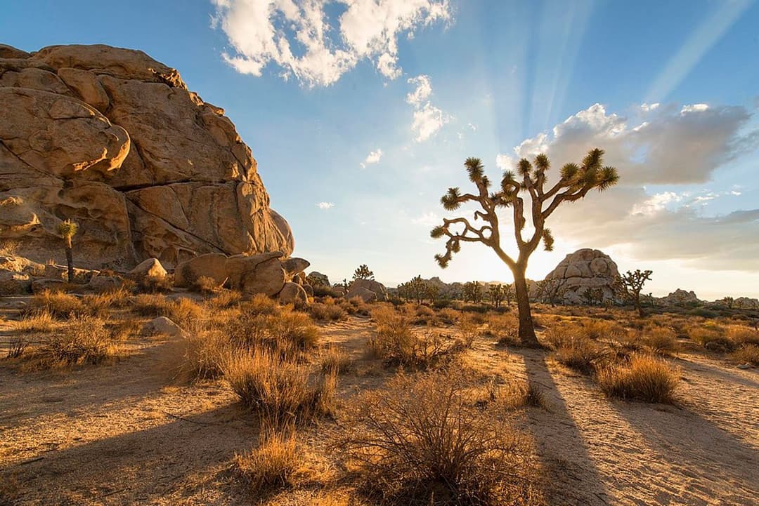
All Joshua Tree places
64 places
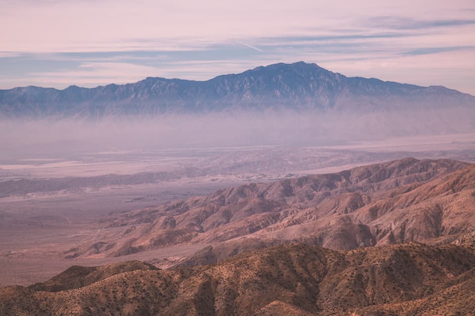 1Keys ViewA near mile-deep drop opens onto the Coachella Valley.
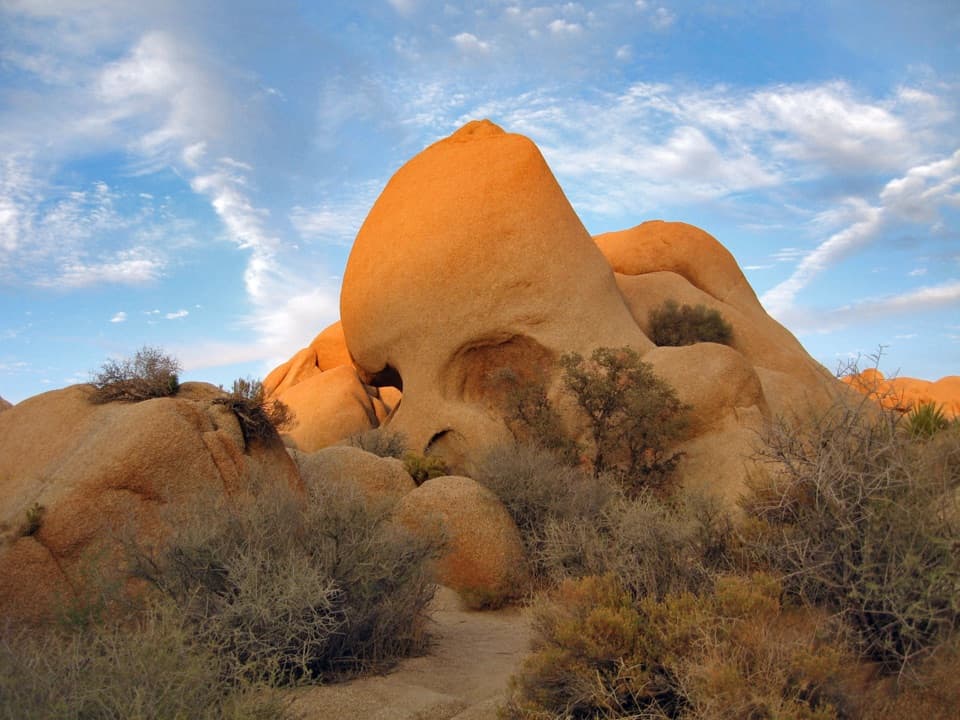 2Skull RockA skull-shaped granite boulder makes a memorable roadside pause.
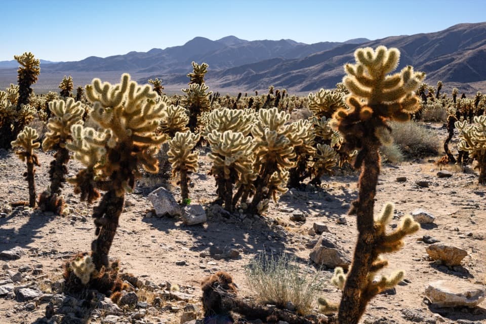 3Cholla Cactus GardenA short, flat loop through nearly ten acres of cholla.
 4Arch RockA natural arch tucked into a maze of sculpted desert boulders.
 5Barker DamA short loop to a historic dam, boulder country and rock art.
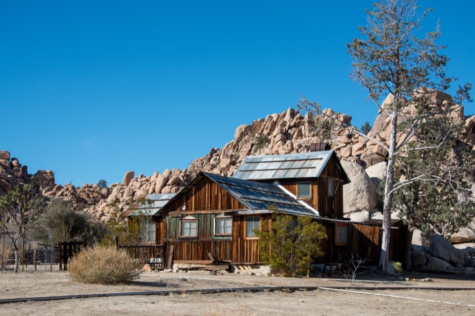 6Keys RanchA ranger-led walk among a family’s desert buildings and mining gear.
 Joshua Tree Visitor CenterPick up a map and ranger advice before the West Entrance.
 7Ryan MountainClimb through ancient banded rock for a 360-degree summit view.
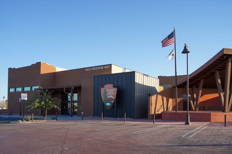 Joshua Tree National Park Visitor CenterA focused cultural introduction before the desert roads.
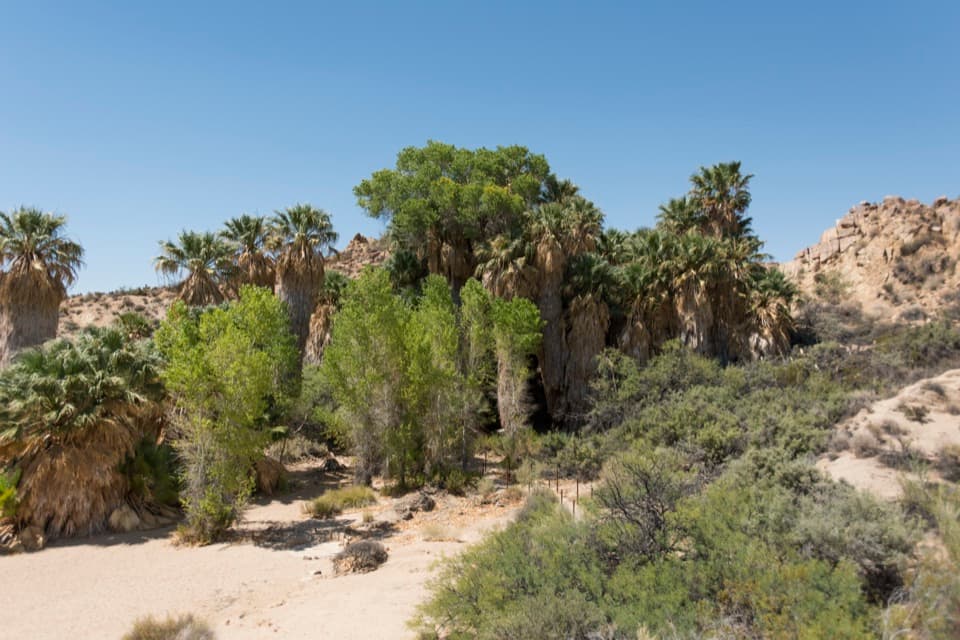 8Cottonwood SpringPalm oasis, Cahuilla mortars and gold-mill remains, steps from the road.
 9Hall of HorrorsTwo tight slots tucked into a maze of climbable boulders.
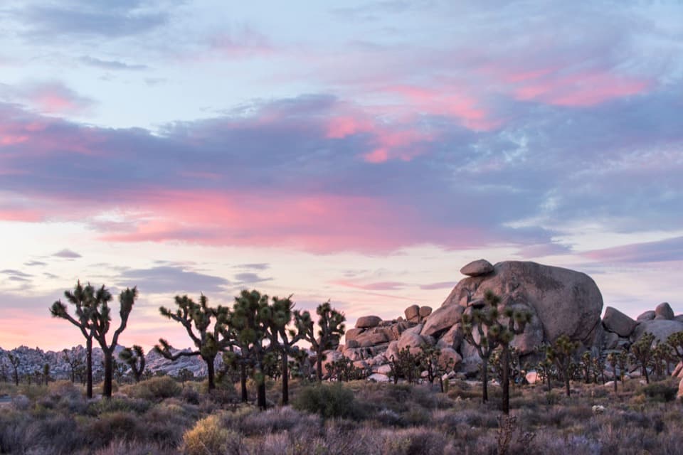 10Cap RockA short boulder loop with a cap-shaped rock beside Joshua trees.
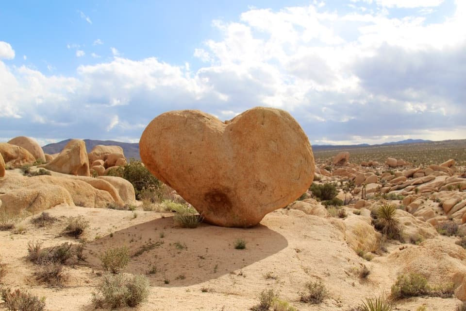 11Heart RockFind the angle that turns this granite boulder into a desert heart.
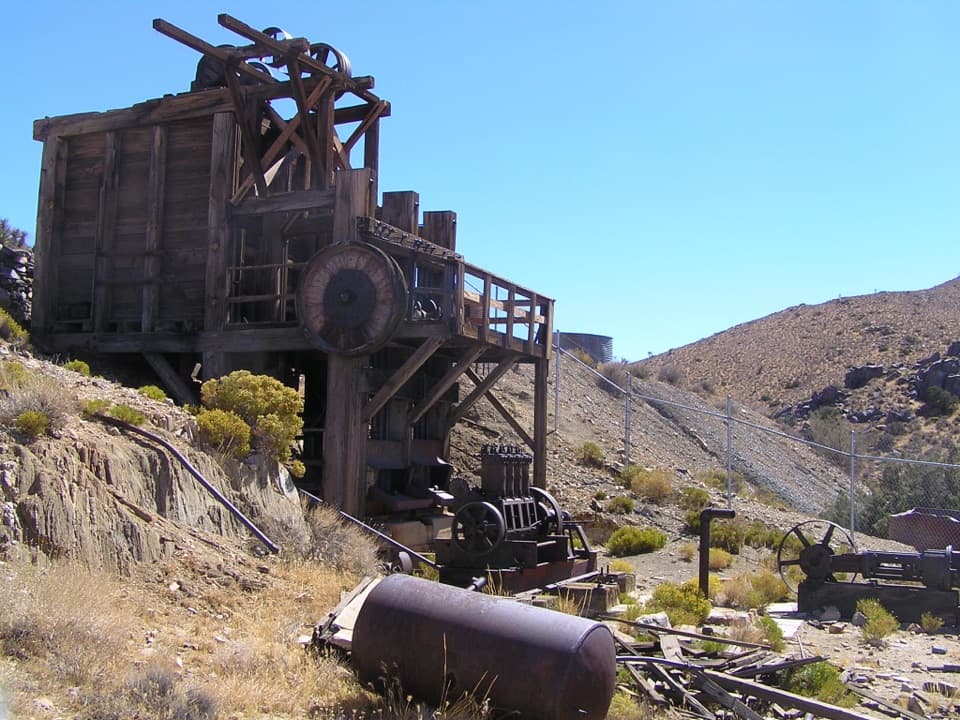 12Lost Horse MineA stamp mill, gears, and rusted machinery at hike’s end.
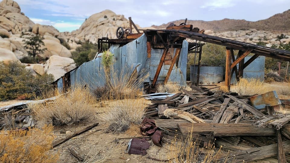 13Wall Street MillA sandy walk to an old gold mill and its rusted machinery.
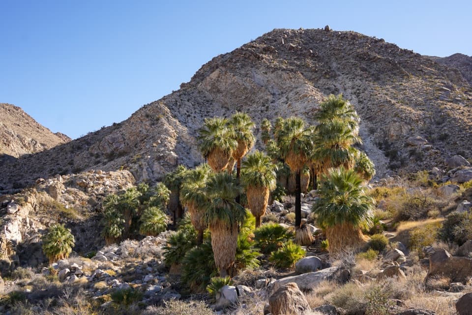 14Fortynine Palms OasisA shaded palm grove at the end of a desert ridge hike.
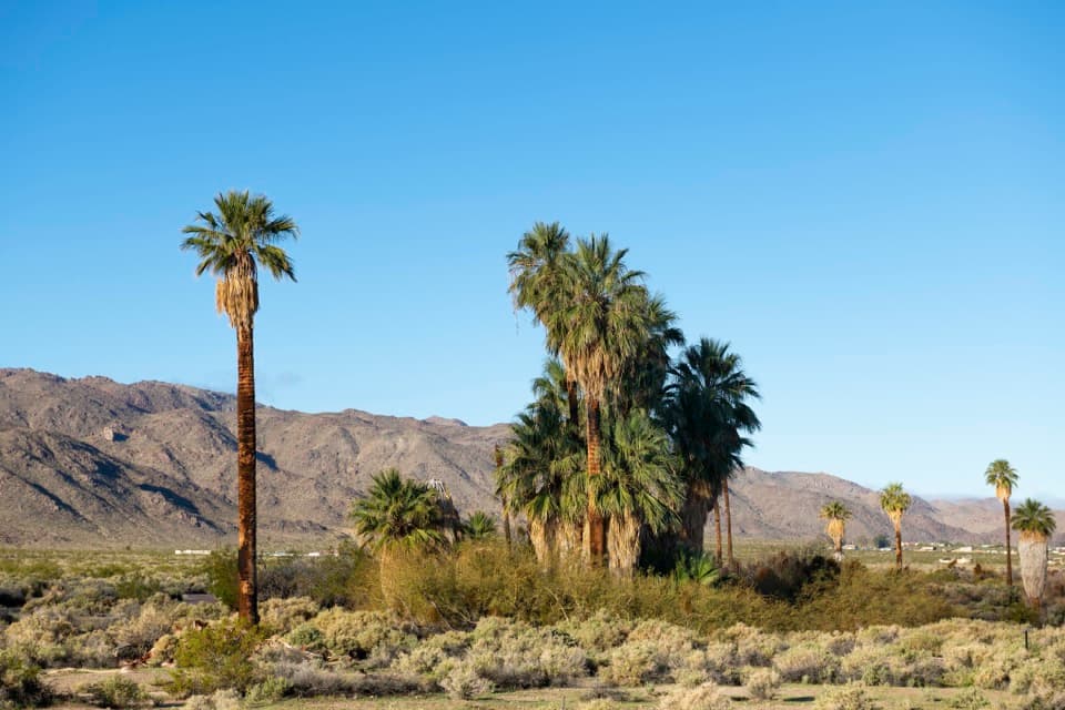 15Oasis of MaraA palm grove with a surprisingly deep Serrano story.
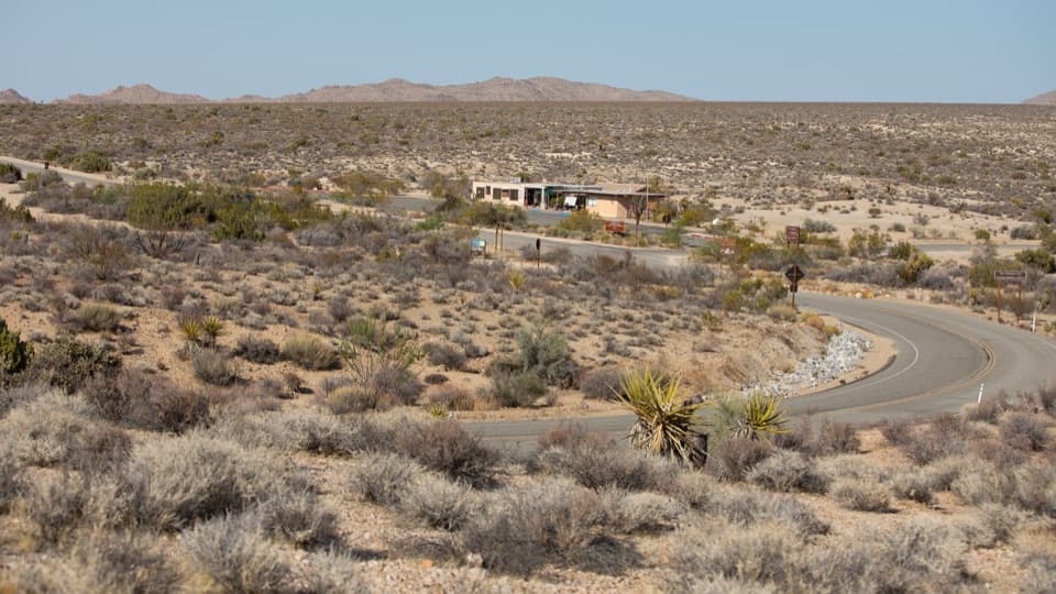 Cottonwood Visitor CenterMaps, drinking water, and ranger advice make this a useful first stop.
 16Lost Palms OasisA rare palm oasis, reached only after a long desert hike.
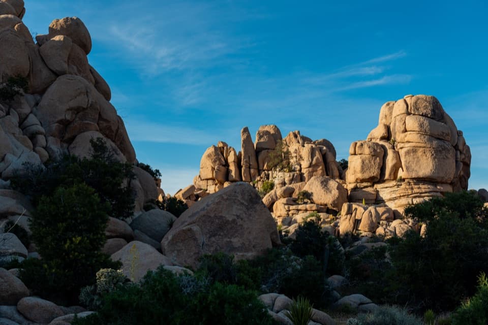 Hidden Valley Picnic AreaA rocky picnic spot that doubles as a designated stargazing stop.
 17Intersection RockWatch climbers on 40-plus routes, then roam among the boulders.
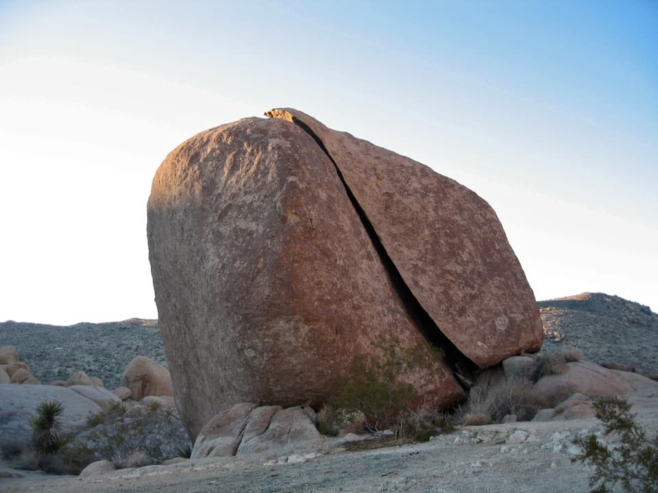 18Split RockThe namesake boulder sits at the start of a 2.5-mile desert loop.
 Jumbo Rocks CampgroundA campsite in a maze of boulders, with stars overhead after dark.
 19Hemingway ButtressWalk among granite cracks that have drawn climbers since the 1940s.
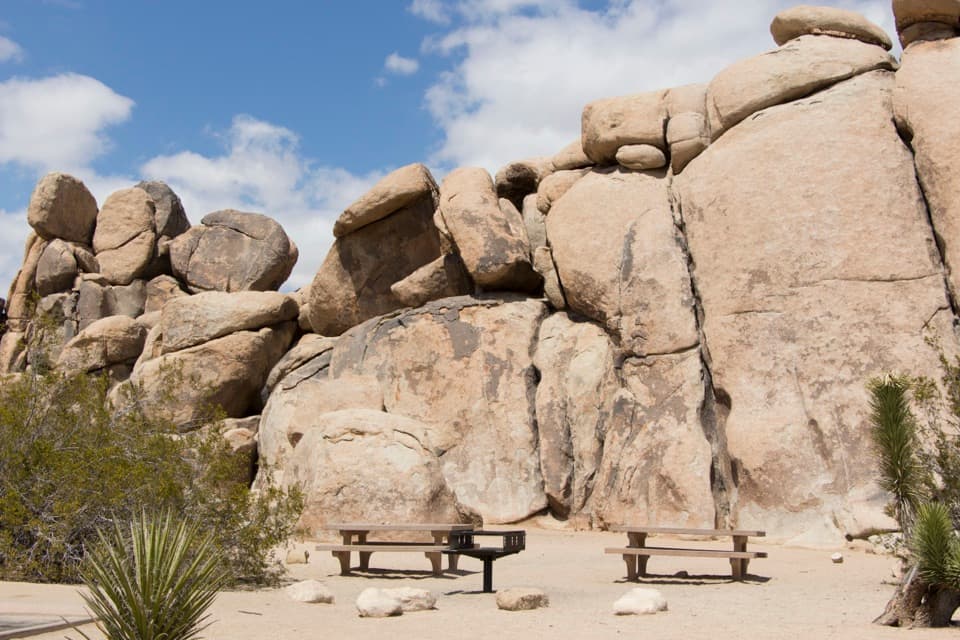 Quail Springs Picnic AreaPicnic tables and grills tucked beneath Joshua Tree’s granite boulders.
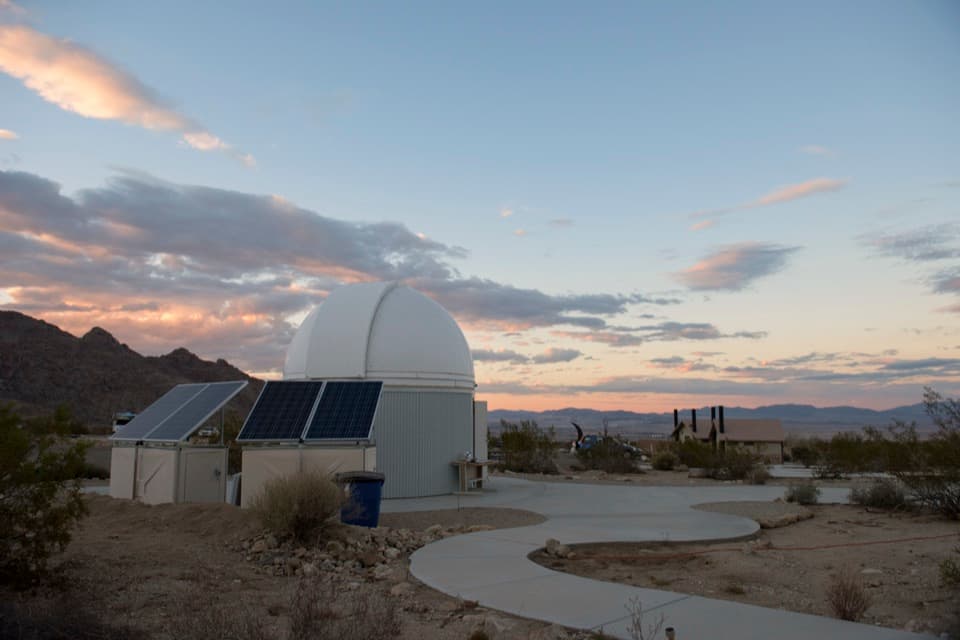 20Sky’s the Limit Observatory and Nature CenterWalk a Solar System model scaled for human steps.
 21Desert Queen MineWalk a short loop past ore bins, old shafts and mining debris.
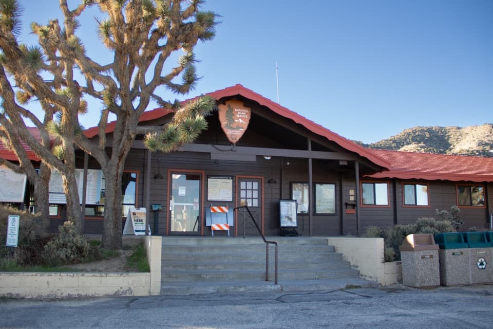 Black Rock Nature CenterRanger advice, rotating art, and a Yogi Bear campground story.
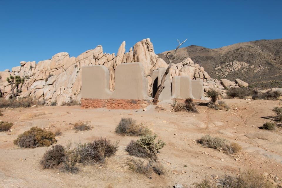 22Ryan RanchA short desert walk to the remains of an 1896 adobe homestead.
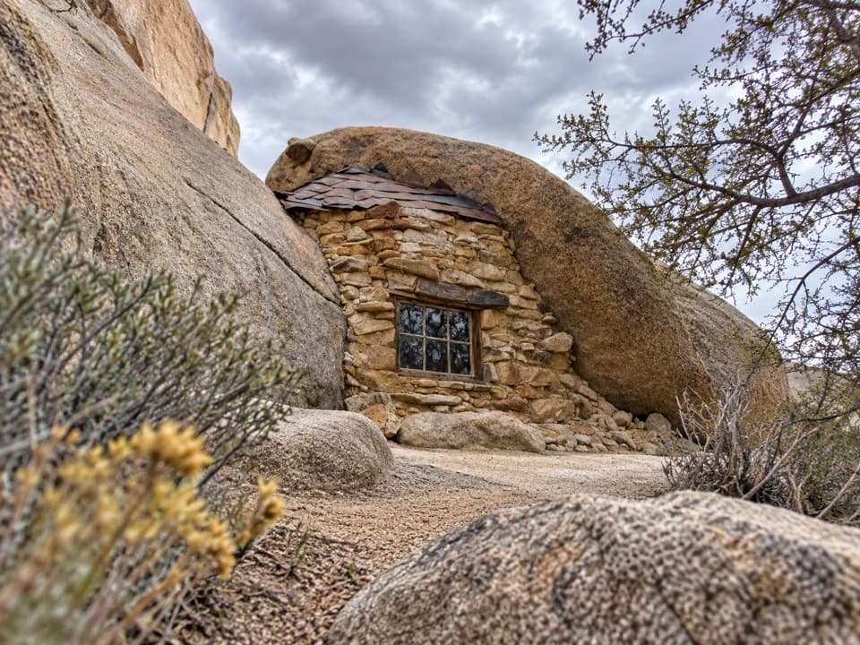 23Eagle Cliff Mine and Boulder HouseA miner’s stone cabin tucked into a narrow boulder cleft.
 Live Oak Picnic AreaPicnic tables, boulders to scramble, and a curious old oak.
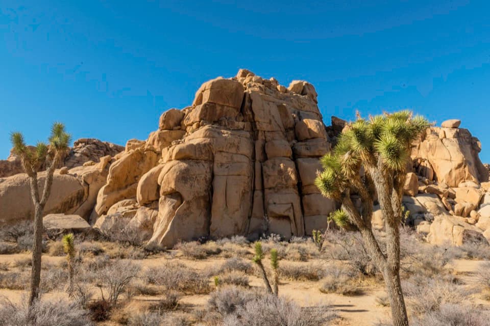 24Echo TA central cluster of climbs between Hidden Valley and Barker Dam.
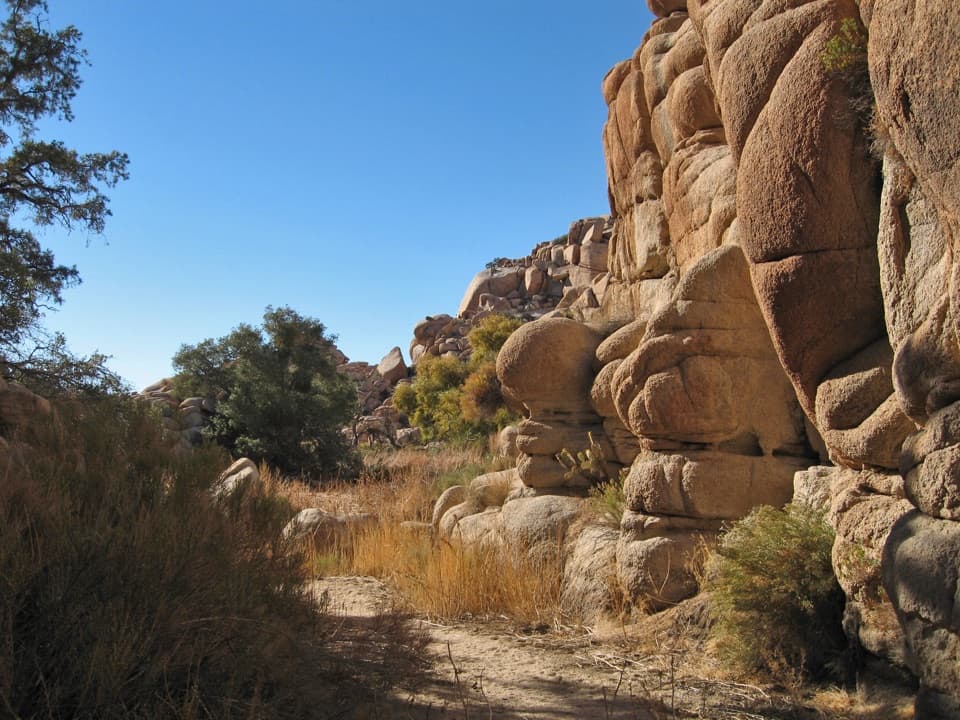 25Willow HoleA seasonal green pocket tucked into a granite maze
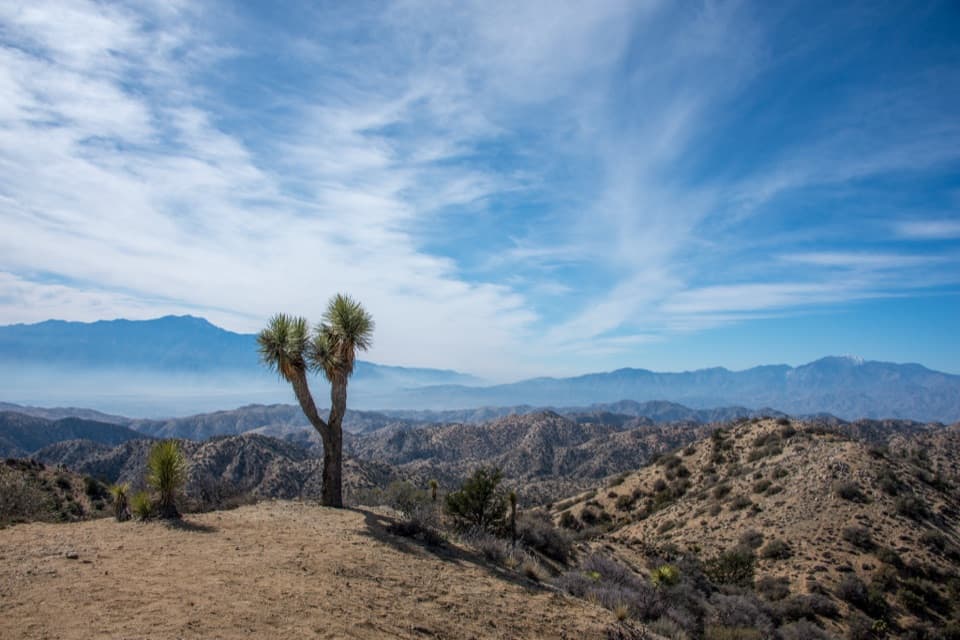 26Eureka PeakA steep dirt-road detour to a wide 360-degree summit view.
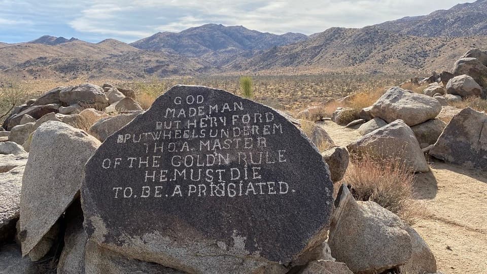 27Samuelson RocksCarved desert messages from a man whose story went missing.
 28Ryan Mountain Stargazing AreaA no-hike night-sky stop with parking, restroom and trail access.
 29Ocotillo PatchA spring roadside stop for ocotillo and valley views.
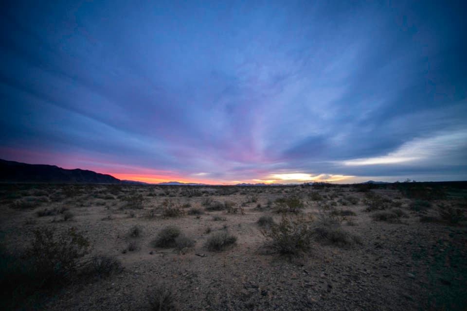 30Turkey FlatsA quick pullout for Pinto Basin views and dark skies.
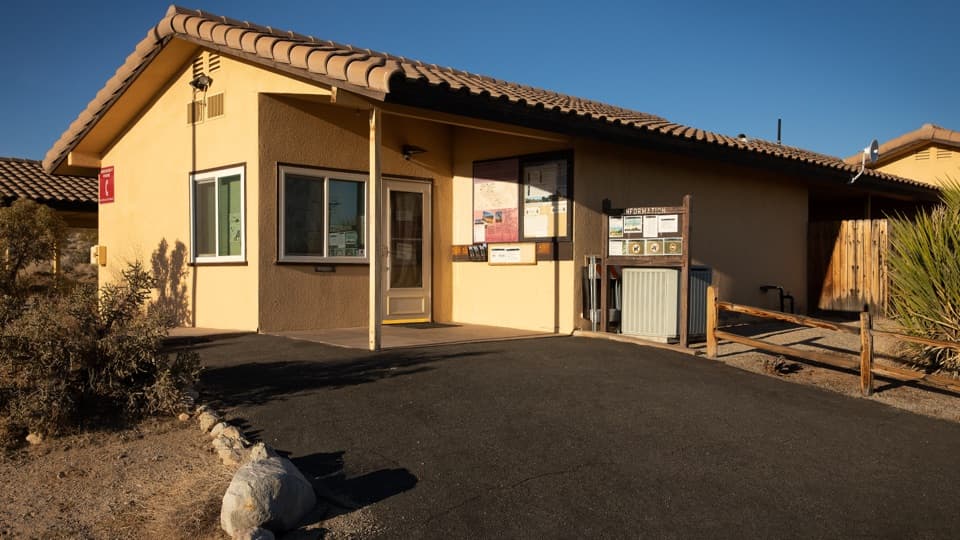 Indian Cove Ranger StationA useful water and information stop for Indian Cove.
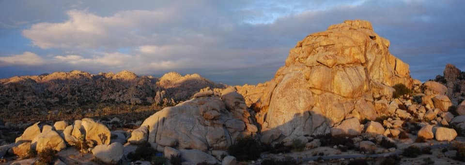 Hidden Valley CampgroundSleep among boulders, with climbing routes beside some campsites.
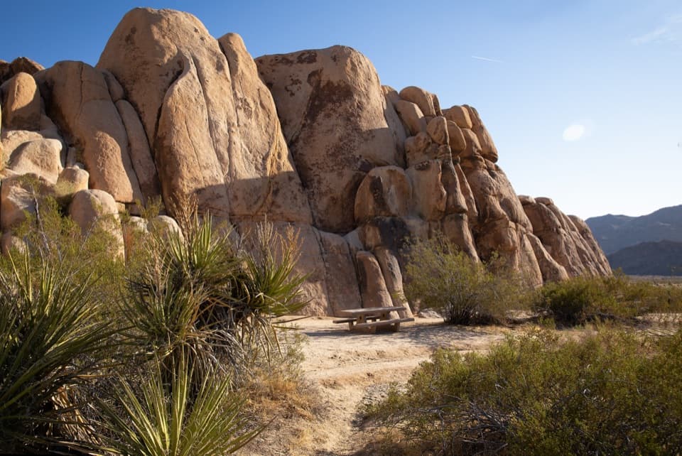 Rattlesnake Picnic AreaA quiet lunch stop beneath Indian Cove’s boulder walls.
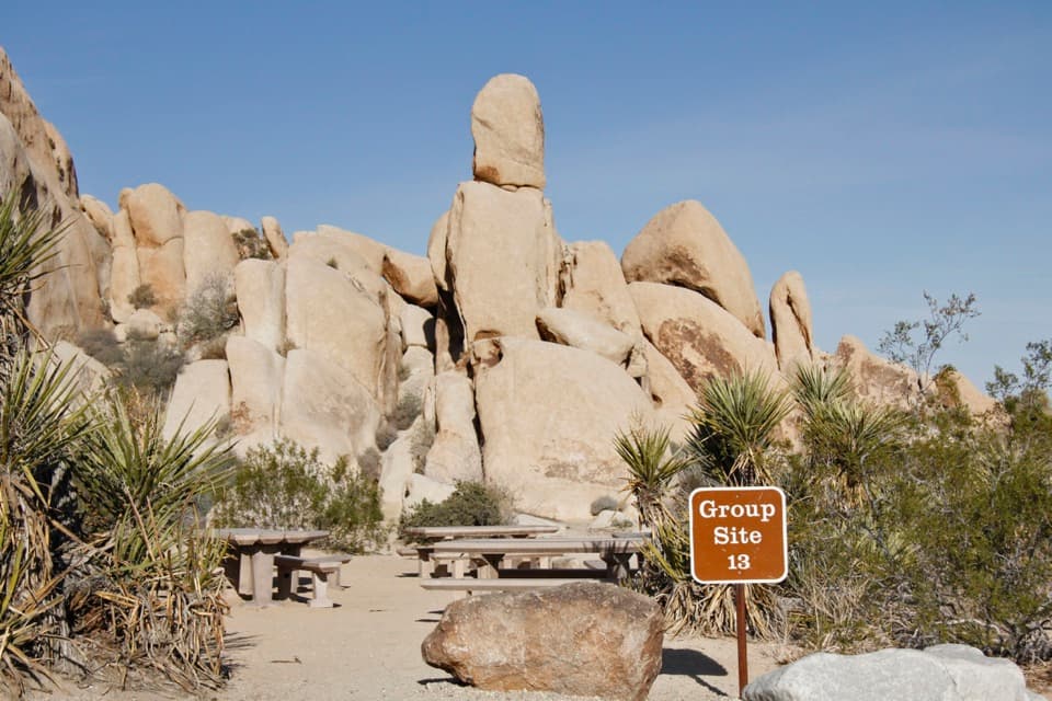 Indian Cove CampgroundCamp among boulders with climbing and a half-mile nature loop nearby.
 31Pinto Basin PulloutA broad basin view with dark skies worth staying for.
 32Malapai Hill ViewpointDark basalt hill stands above the older granite of Queen Valley.
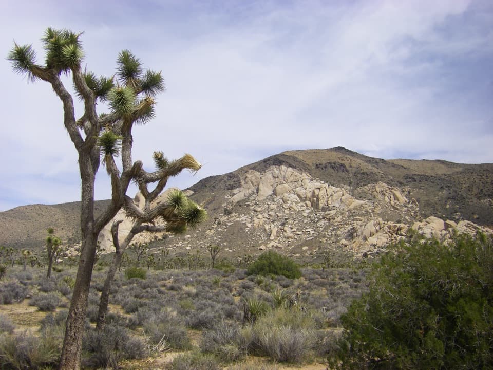 33Oyster BarA roadside rock formation with desert views and climbing access.
 Cottonwood Picnic AreaCovered tables make this a useful meal stop in the southern park.
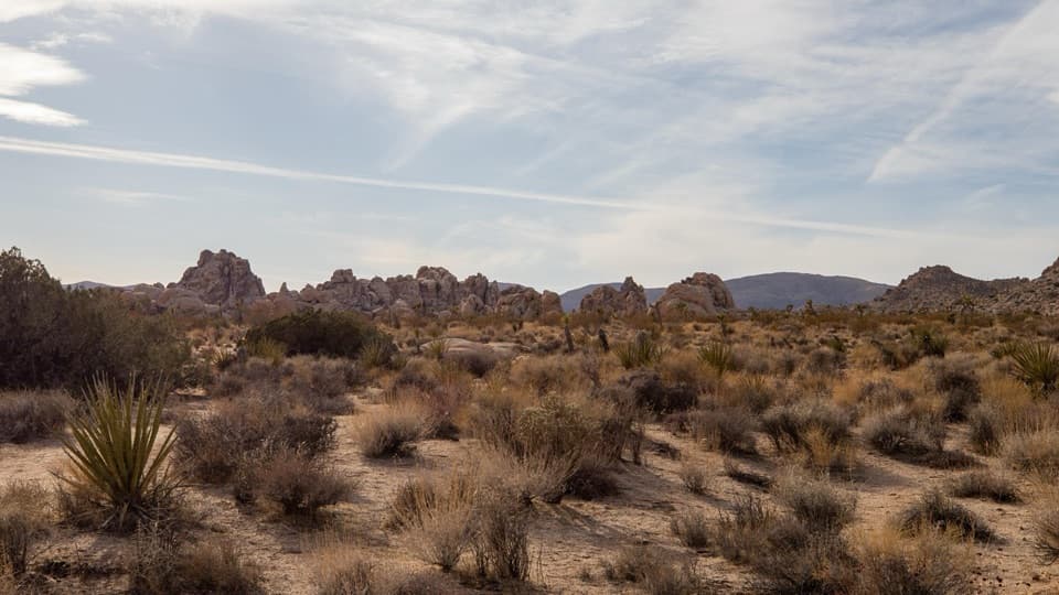 34Towers of Uncertainty ViewpointPale rock islands rise from the flats beside a climber's approach.
 35Star Wars Rock ViewpointA quick stop to study Joshua Tree’s sculpted granite up close.
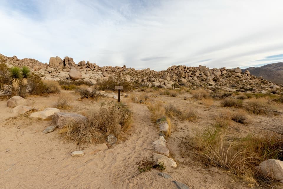 36Paac Kü̱vü̱hü̱’kA vanished lake still writes its story across this desert.
 37Silver Bell Mine ViewpointLook for two old mine structures high on the rocky slope.
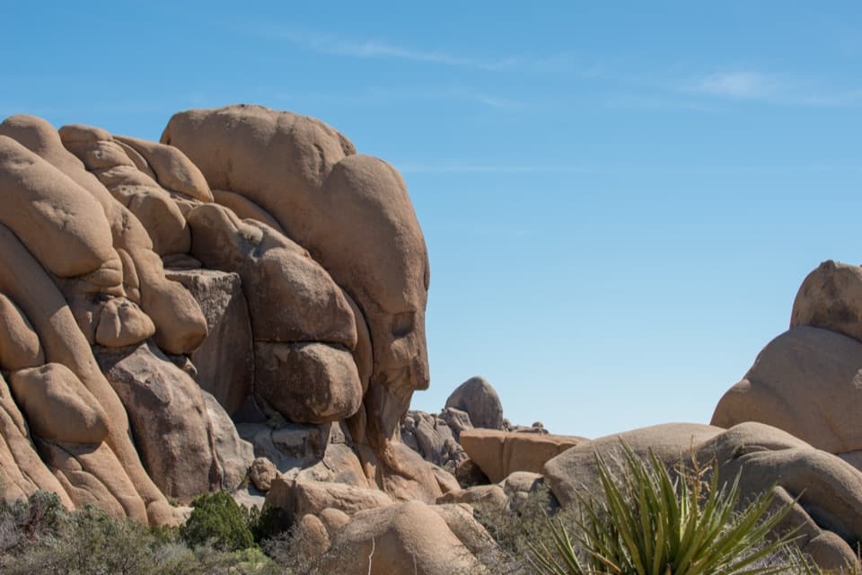 38Face RockA face in the rocks rewards a short spur detour.
 39Nancy Karl Trail OverlookA sandy trail leads to a wayside view over the desert basin.
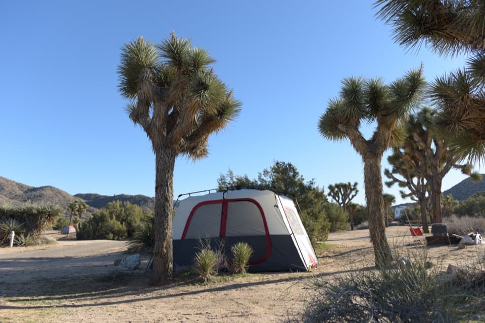 Black Rock CampgroundCamp beneath Joshua trees with a Jellystone Park past.
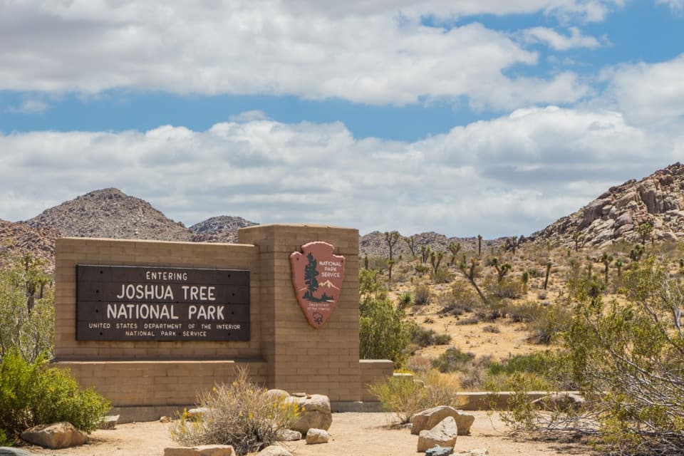 West Entrance and Welcome SignThe west-gate sign, water fill, and first stop on the park drive.
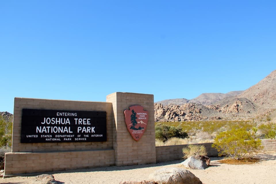 North Entrance StationA quick north-side stop to sort your park pass.
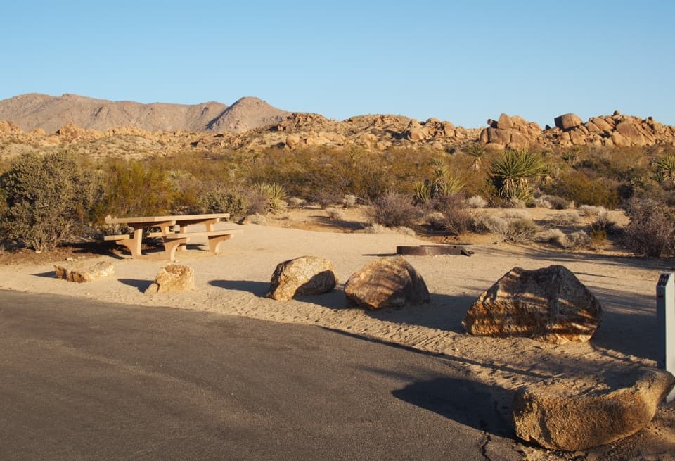 Cottonwood CampgroundDark-sky camping with a signed path to Cottonwood Spring.
 Ryan CampgroundCamp among boulders, with a short walk to 1896 ranch ruins.
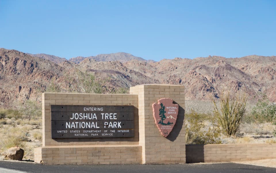 40South Entrance Welcome SignA wooden welcome sign against the Colorado Desert and rocky peaks.
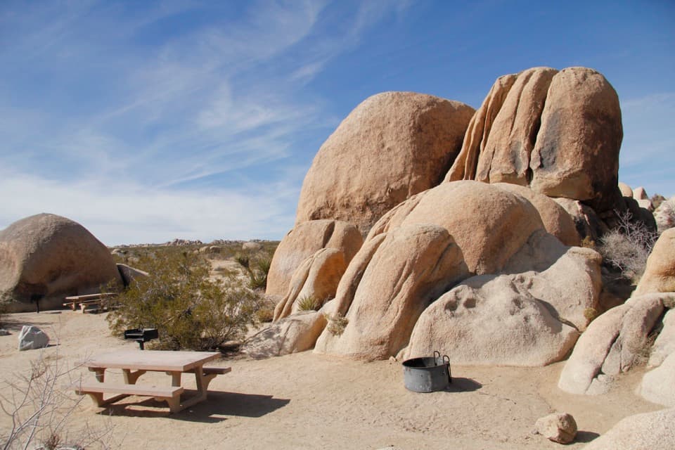 White Tank CampgroundCamp among the boulders, with Arch Rock close at hand.
 Belle CampgroundEighteen simple sites tucked among Joshua trees and granite boulders.
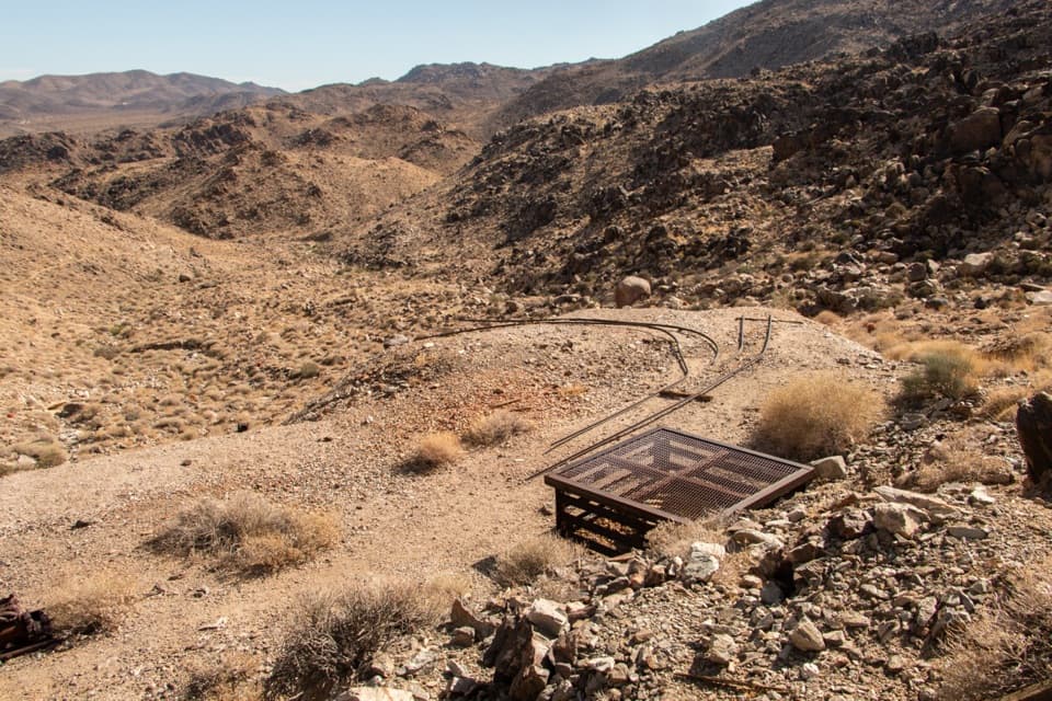 41Contact MineOld mine gear at the end of a quieter four-mile desert hike.
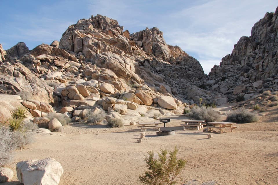 Sheep Pass Group CampgroundA tent-only group base among boulders and Joshua trees.
 42Wonderland Ranch RuinsPink homestead ruins on the Wall Street Mill side path.
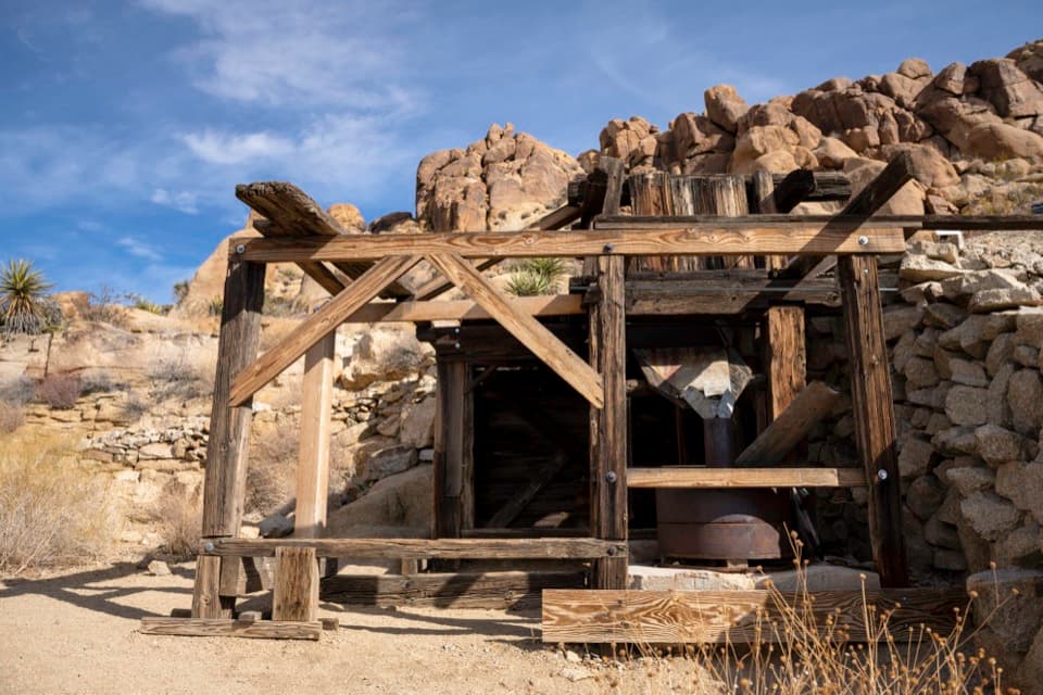 43Mastodon MineA close-up look at mining history on the Mastodon Peak loop.

The highest, rockiest slopes around here are a summer buffet for grizzly bears.
Joshua Tree Tour Guide
Joshua Tree, narrated.
Parkwolf is a GPS audio tour guide for Joshua Tree National Park. As you drive, it chimes in with what’s ahead: hidden gems, upcoming stops, history, geology, and wildlife, right through your car’s speakers.
See the Joshua Tree audio tourRecorded for this place
Keys View Over the Coachella Valley0:00 / 0:31
“Up ahead is Keys View, a drive-up overlook where the ridge drops nearly a mile into the Coachella Valley. I'd keep this stop for the sheer scale of the view.”
Plays as you drive up to Keys View in the Parkwolf Joshua Tree Tour Guide.
More stories near here in the app
- The Underground Dam Behind an Oasis
- A Packrat's Time Capsule
- Lost Horse Mine and Its Stamp Mill
- Crystals in the Granite
- 89 audio storiesacross Joshua Tree’s roads, triggered by GPS as you drive
- Wildlife heatmapsfor Bighorn Sheep, Golden Eagle, Desert Tortoise, and 13 more
- Works offlinemaps, 60 trails, 64 places, and audio download before you lose signal
- CarPlay readysimple controls built for the drive
“Fantastic app with many points of information… It’s great to just turn on while you’re driving and it gives you an audio tour of the national Park. We love it!!!!”

