
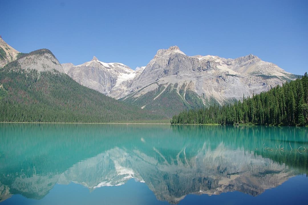
All Yoho trails
54 trails
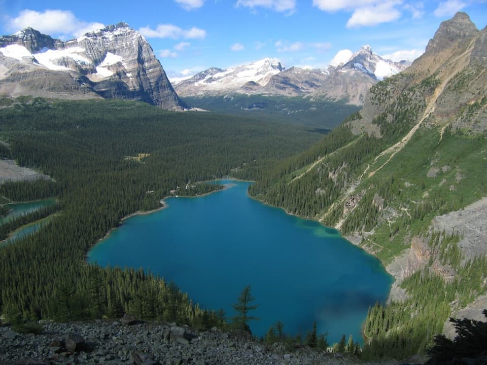 1Lake O’Hara Alpine CircuitExposed ledges, high lakes, and a full circuit above Lake O’Hara.
 2Iceline via Little YohoGlacier views and tarns reward a full-day climb.
 3Lake McArthur CircuitA proper alpine loop to a bright lake ringed by steep peaks.
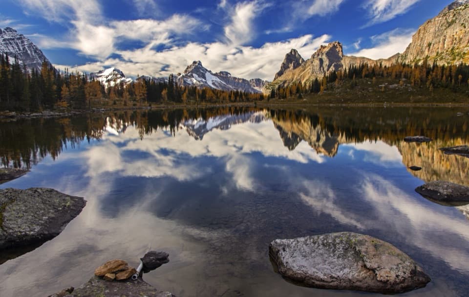 4Opabin Plateau CircuitA steep climb opens onto alpine lakes beneath a glacier.
 5Emerald Lakeshore TrailGlacier views from a nearly level loop beside turquoise water.
 6Lake Oesa TrailStone steps, copper cliffs and a turquoise lake in its rock basin.
 7Iceline via Celeste Lake LoopSteep climb, glacier views, and a Celeste Lake descent.
 8Whaleback CircuitTwin Falls, an alpine ridge, and a full day on foot.
 9Wapta Falls TrailA short forest walk ends at the Kicking Horse's widest falls.
 10Wiwaxy Gap / Huber Ledges Loop to Lake OesaA steep alpine loop over Wiwaxy Gap to Lake Oesa.
 11Lake O’Hara Shoreline TrailA short lakeside loop to pink quartzite and Seven Veils Falls.
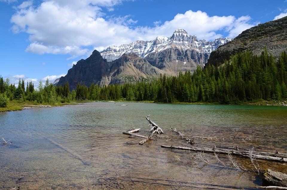 12All Soul’s Prospect Alpine RouteA short, steep alpine link between Opabin and McArthur.
 13Emerald Basin TrailA rocky basin rewards the steep climb beyond Emerald Lake.
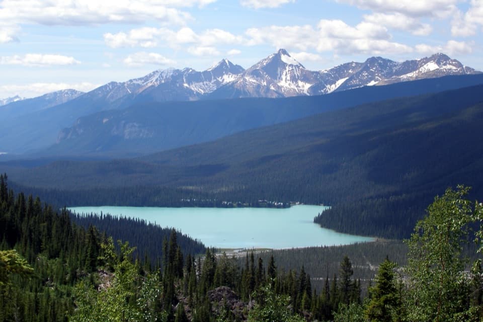 14Emerald TriangleAn alpine day loop with Emerald Lake views from the highline.
 15Twin Falls TrailA long valley walk to Yoho's twin cascades and historic tea house.16Yukness Ledges LoopAn 8.6 km alpine loop linking Lake Oesa, Yukness and Opabin.
 17Paget Lookout TrailA steep climb to an old lookout above three valleys.
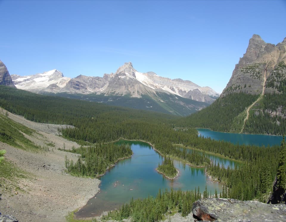 18Opabin Prospect via West Opabin TrailA steep climb to a cliff-edge view over Lake O’Hara.
 19Hamilton Lake TrailA steep climb for an alpine tarn beneath the high peaks.
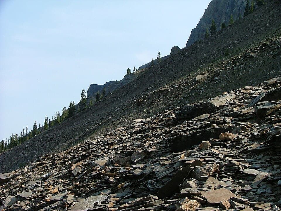 20Mount Stephen Guided Fossil HikeA steep guided climb to Yoho’s restricted trilobite beds.
 21Iceline Trail Out-and-BackClimb past three lakes to glacier views over Takakkaw Falls.
 22Yoho Valley CircuitA full day linking Twin Falls, Whaleback and the Iceline
 23Sherbrooke Lake TrailA wooded climb opens onto a turquoise lake beneath three peaks
 24Yoho Lake TrailA steep climb leads to red chairs facing Wapta Mountain.
 25Kiwetinok Pass TrailAn alpine lake beneath the cliffs of Kiwetinok Pass.
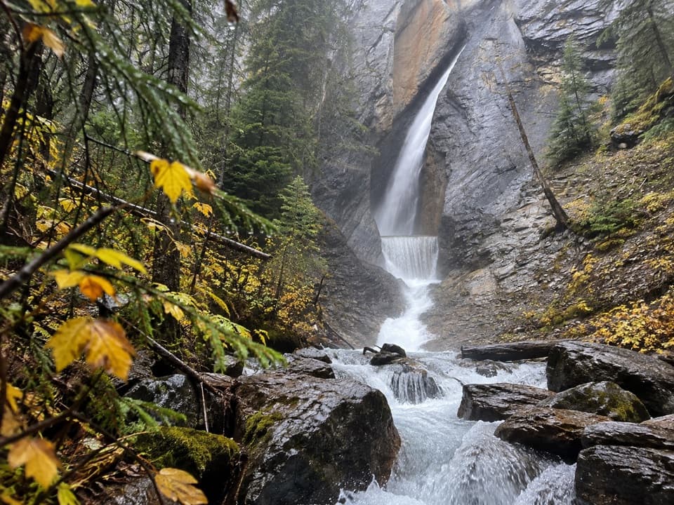 26Hamilton Falls TrailA short climb to a waterfall tucked in a narrow canyon.
 27Laughing Falls TrailA riverside walk to Laughing Falls with two optional waterfall detours.
 28Linda Lake Circuit and Morning Glory LakesA steep climb earns a full lap around a turquoise alpine lake.
 29South Burgess Pass TrailA steep climb from Field to a high pass above town.
 30Point Lace Falls and Angels Staircase Falls TrailAn easy valley walk branches to two waterfall viewpoints.
 31Duchesnay Basin TrailKettle ponds beneath Odaray’s towering rock wall
 32Mt. Hunter Upper Lookout TrailA hard ridge climb with wide views over two mountain valleys.
 33Hoodoos TrailSteep switchbacks climb from Hoodoo Creek to capped glacial pillars.
 34Lower Morning Glory Lakes TrailRocky paths lead from a hut meadow past small alpine lakes.
 35Odaray Highline to Odaray GrandviewRock steps end at a 270-degree view across Lake O’Hara’s alpine basin
 36Niles Meadow TrailA long, rough climb ends in an open meadow below Mount Niles.37Big Larches and Schäffer Lake LoopA short alpine loop through larches to a clear mountain lake.
 38Mt. Hunter Lower Lookout TrailClimb through open forest to a historic fire lookout.
 39Ross Lake TrailA forested out-and-back to a lake below Narao Peak
 40Little Yoho Valley TrailA steep forest approach to Laughing Falls and a hanging valley.
 41Goodsir Pass TrailA remote alpine crossing into Kootenay's Rockwall country.
 42Cathedral Basin to Monica LakeA steep, faint climb to a larch-ringed lake under Cathedral Mountain.
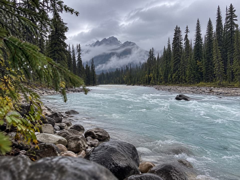 43Kicking Horse Fire RoadGentle riverside road with a picnic stop and old bridge.
 44Crystal Caves TrailA cave mouth frames Lake O’Hara on this short shore detour.
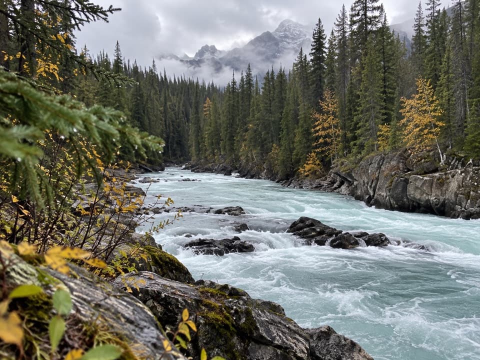 45Tocher Ridge TrailA very long riverside approach climbs steeply to a former ridge lookout.
 46Emerald River TrailA shaded river walk ending at a natural stone bridge
 47Centennial TrailA shaded river walk with wildflowers and mountain views.
 48Ottertail Valley TrailAn old river road ends at a remote mountain confluence.
 49Great Divide Trail: Yoho TraverseGoodsir Pass to Amiskwi Pass through Yoho’s remote valleys
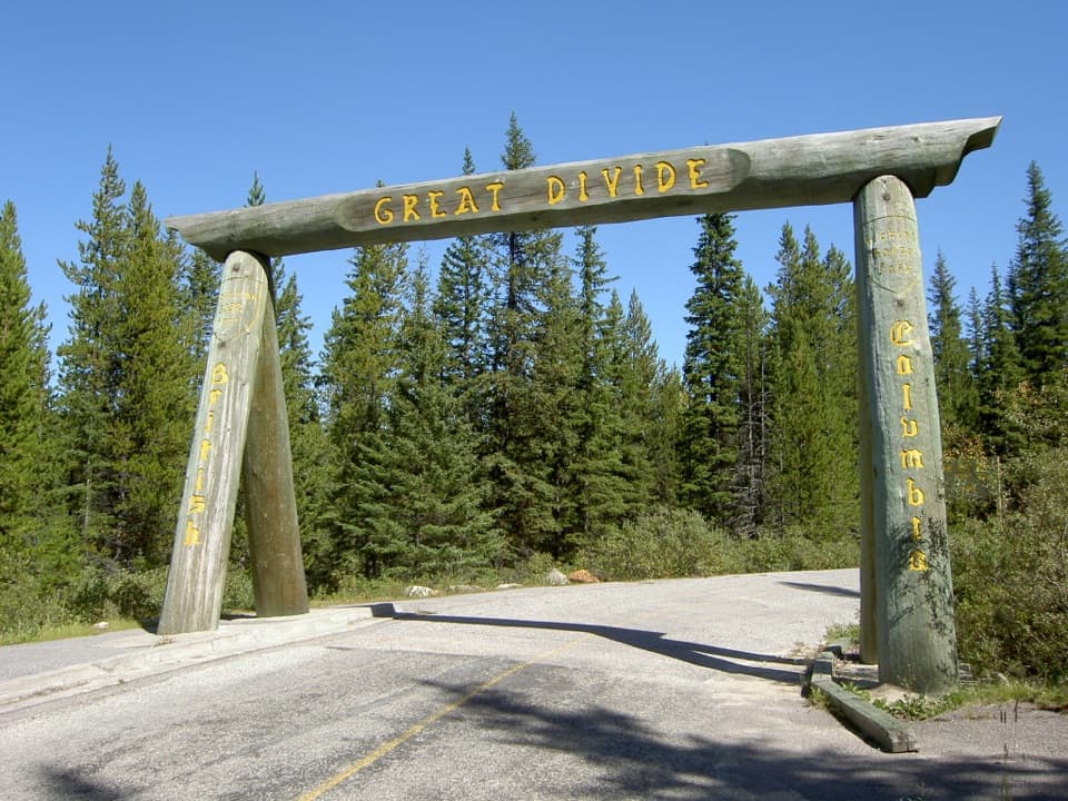 50Great Divide Trail to Lake LouiseA timber arch marks this paved Continental Divide crossing.
 51Tally-Ho TrailA 6.4 km out-and-back from Natural Bridge.
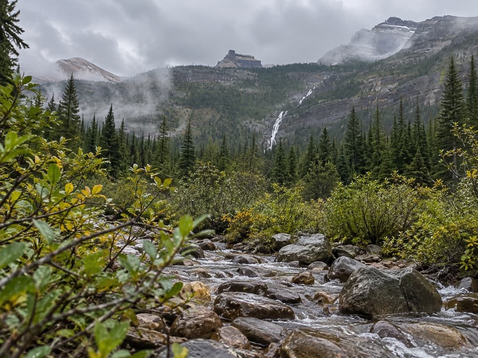 52Amiskwi Pass TrailA remote valley trek with three river fords and a high pass.
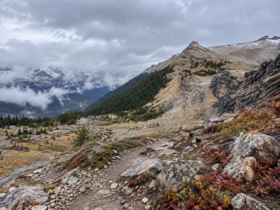 53Takakkaw Lake RouteA steep, rough climb follows the upper valley toward Takakkaw Lake.
 54Sleeping Poet’s Pool TrailA steep, faint spur to a small tarn above Opabin Plateau.

The highest, rockiest slopes around here are a summer buffet for grizzly bears.
Yoho Tour Guide
Yoho, narrated.
Parkwolf is a GPS audio tour guide for Yoho National Park. As you drive, it chimes in with what’s ahead: hidden gems, upcoming stops, history, geology, and wildlife, right through your car’s speakers.
See the Yoho audio tourRecorded for this place
Emerald Lake: Shore, Colour and Lunch0:00 / 0:34
“You're approaching Emerald Lake, where a short, level walk to the bridge brings you to the blue-green water and its mountain backdrop. Stop even if you haven't got time for a hike.”
Plays as you drive up to Emerald Lake in the Parkwolf Yoho Tour Guide.
More stories near here in the app
- The Conifer That Drops Its Needles
- Yoho Visitor Centre: Fossils and a Useful Break
- Field: A Bistro Meal or a Quick Restock
- How the Rock Layers Got Tilted
- 35 audio storiesacross Yoho’s roads, triggered by GPS as you drive
- Wildlife heatmapsfor Grizzly Bear, Mountain Goat, Black Bear, and 13 more
- Works offlinemaps, 54 trails, 58 places, and audio download before you lose signal
- CarPlay readysimple controls built for the drive
“Fantastic app with many points of information… It’s great to just turn on while you’re driving and it gives you an audio tour of the national Park. We love it!!!!”

