
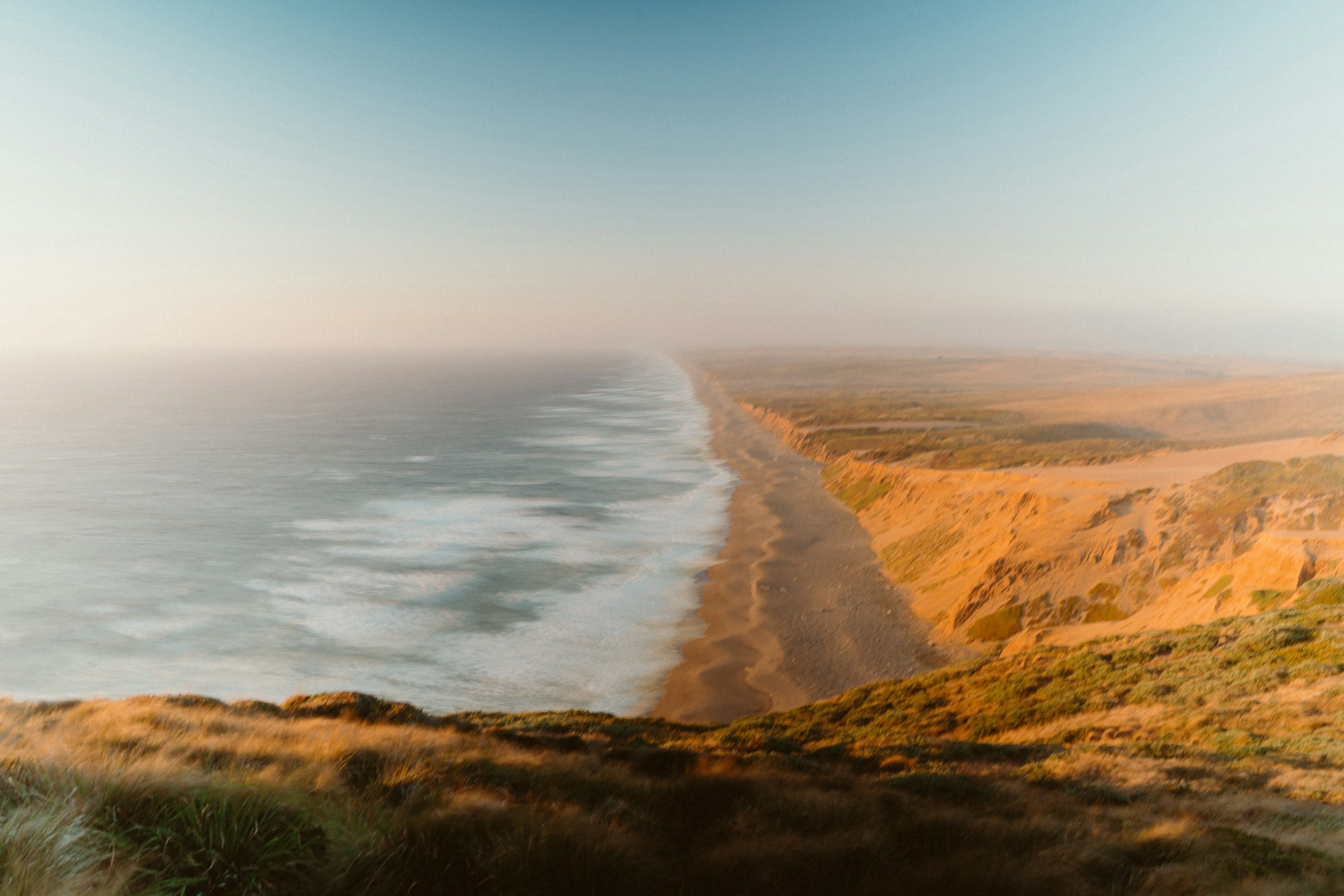
All Point Reyes places
41 places
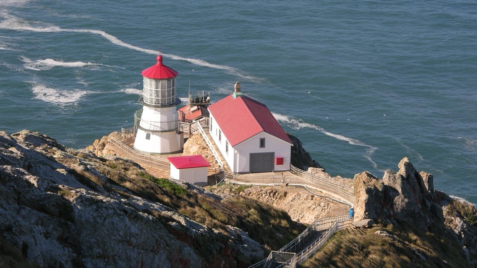 1Point Reyes Lighthouse313 steps down to an 1870 Fresnel lens above Pacific surf
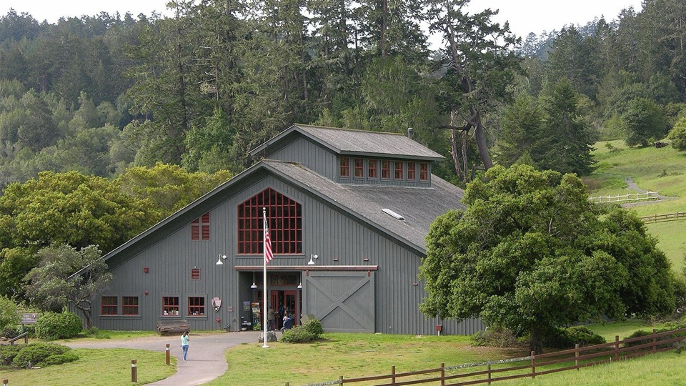 Bear Valley Visitor CenterBarn-style orientation hub where a life-size elephant seal greets you
 2Chimney RockShort ridge walk above steep ocean cliffs and spring wildflowers
 3Drakes BeachPale striped cliffs, calmer bay water, and easy drive-up access
 4Cypress Tree TunnelQuarter mile of 1930s Monterey cypress arched into a green tunnel
 5Alamere FallsA 40-foot cascade spilling over coastal cliffs onto a wilderness beach
 6Pierce Point RanchWeathered 1858 dairy ranch you can wander, high above Tomales Bay
 7Tomales PointNarrow ridge walk between bay and ocean, with tule elk country
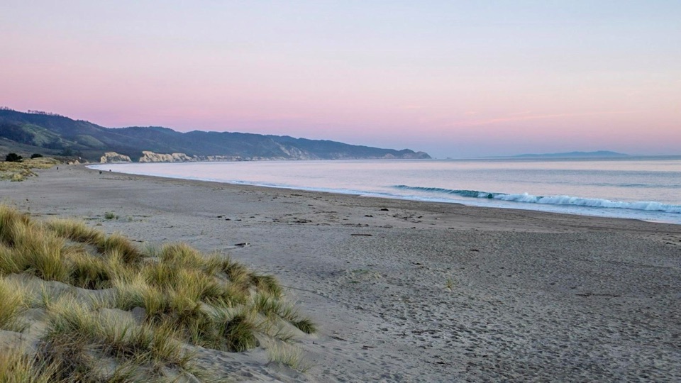 8Limantour BeachWide, dune-backed sand stretching four miles along gentle Drakes Bay
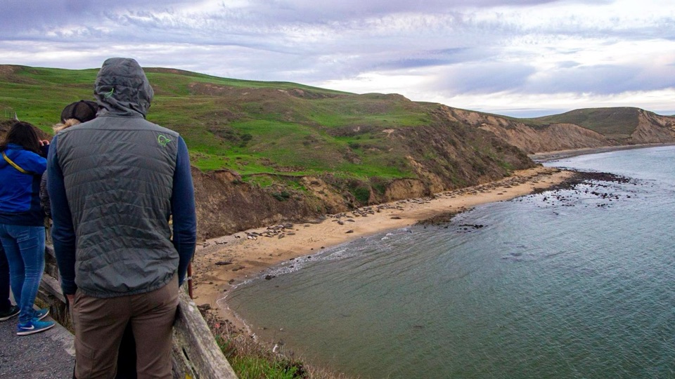 9Elephant Seal OverlookBluff-top perch above Drakes Bay with a winter elephant seal colony
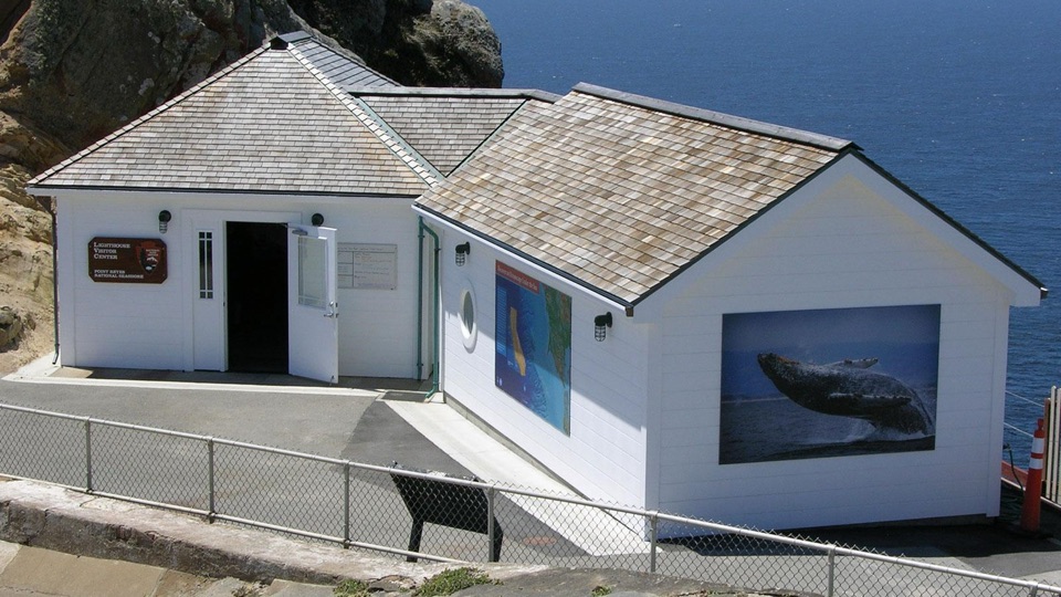 Point Reyes Lighthouse Visitor CenterLighthouse history, ocean exhibits, and a touch table at road's end
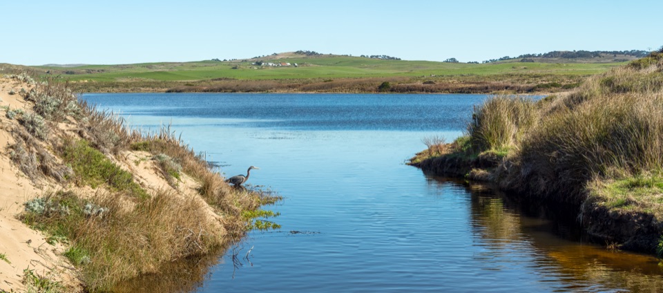 10Abbotts LagoonFlat walk past coastal lagoons and dunes to a wild ocean beach
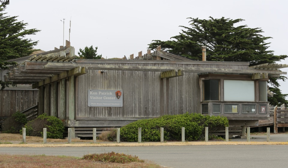 Kenneth C. Patrick Visitor CenterMinke whale skeleton overhead, maritime exhibits steps from Drakes Beach
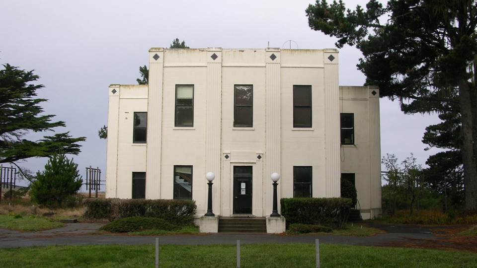 11Historic KPH Maritime Radio Receiving StationRestored Morse code station at the end of a cypress tunnel
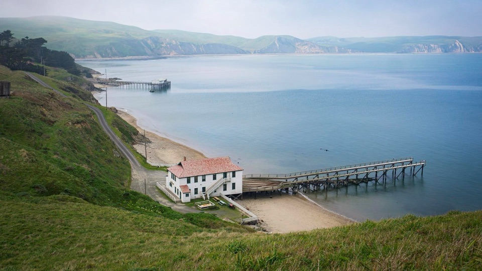 12Historic Point Reyes Lifeboat StationThe Pacific Coast's last intact marine railway, sliding into Drakes Bay
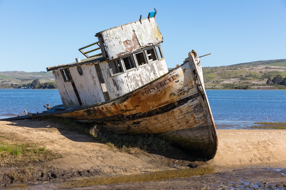 13Point Reyes ShipwreckCollapsing wooden fishing boat settled into Tomales Bay mudflats
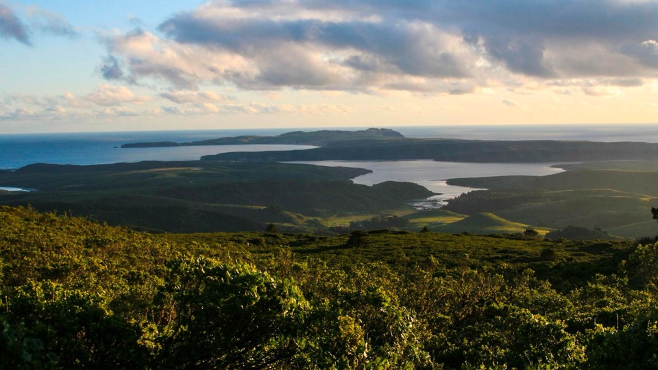 14Mount VisionDrive-up peak with panoramic views over esteros, headlands and ocean
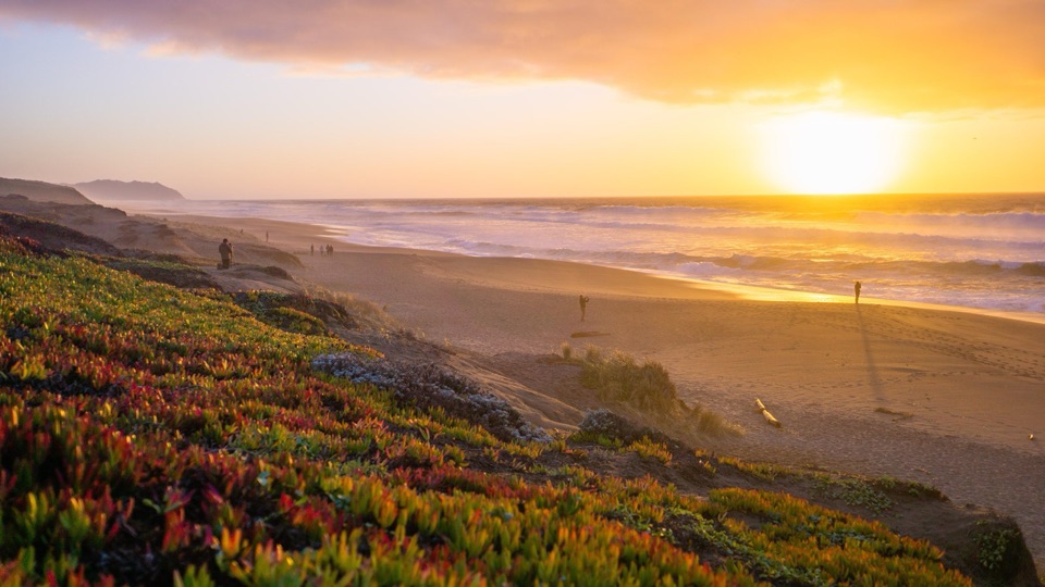 15Point Reyes Beach NorthDrive right to the dunes for crashing Pacific surf and big sunsets
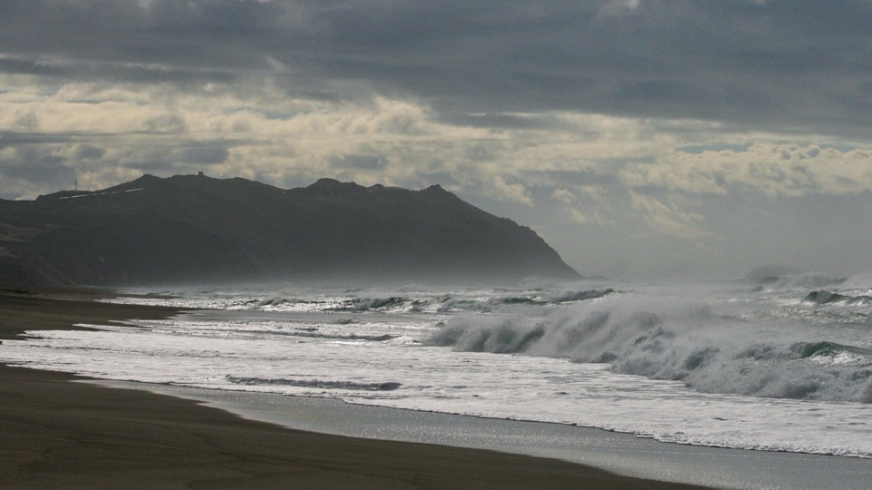 16Point Reyes Beach SouthThundering Pacific surf, easy parking, and miles of open sand
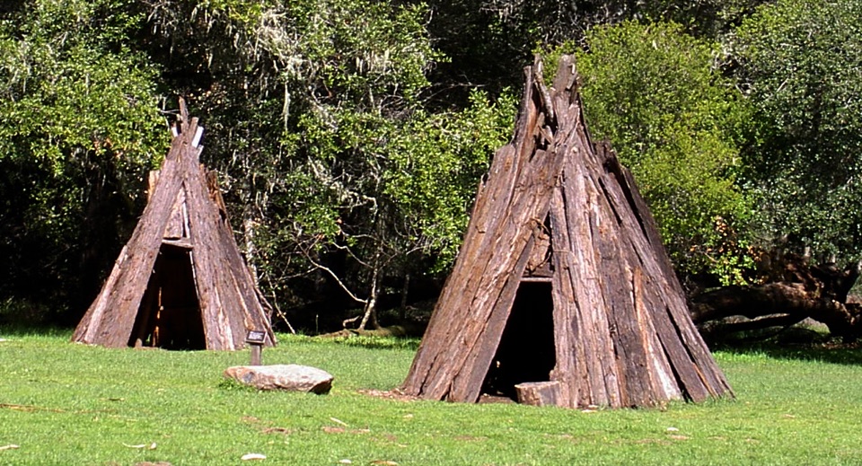 17Kule LokloA replica Coast Miwok village with a round house and acorn granaries
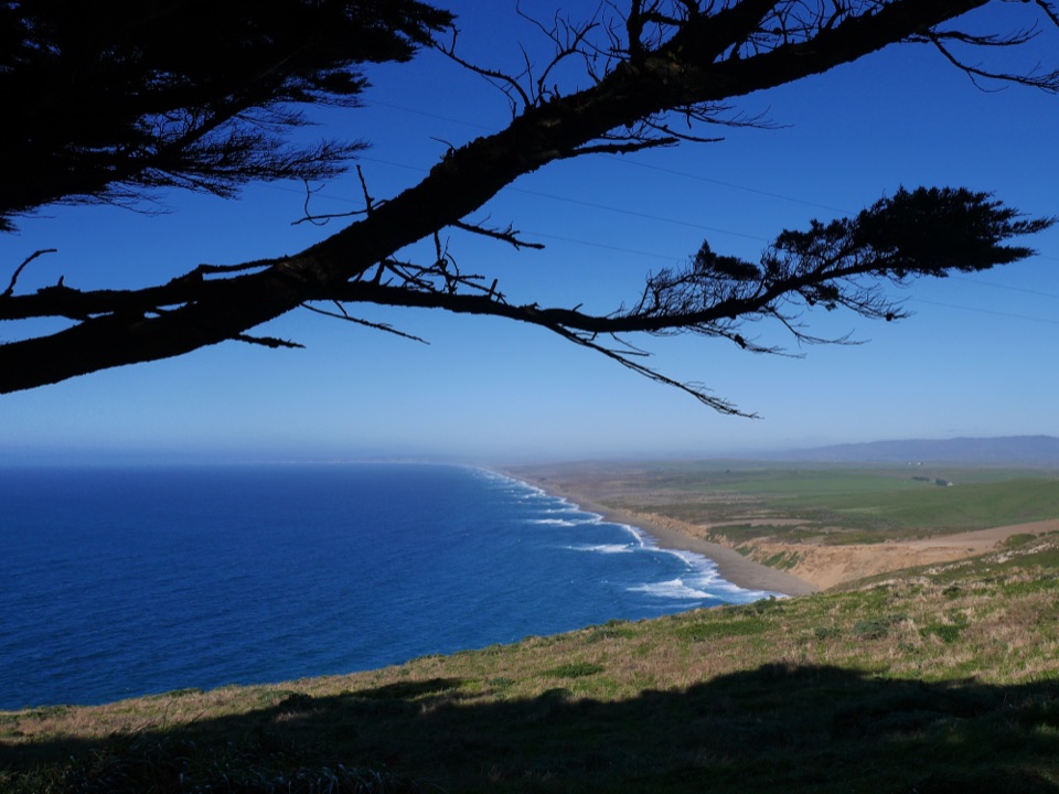 18South Beach OverlookShort sandy walk to cliff-top views of crashing Pacific surf
 19Morgan Horse RanchWorking park horses and ranch history on a short hillside walk
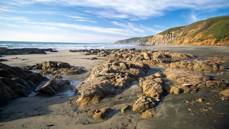 20McClures BeachSteep sandy path drops to a wild cove between rocky headlands
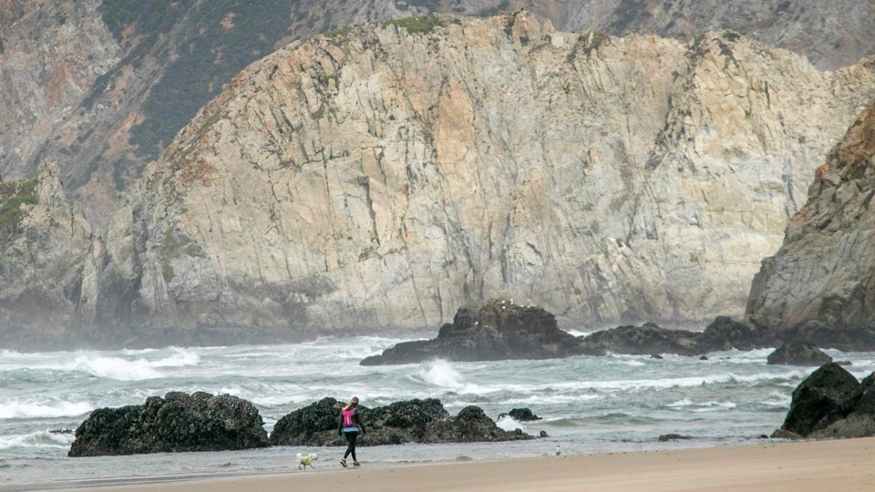 21Kehoe BeachShort dune walk to a wide, wind-scoured surf beach
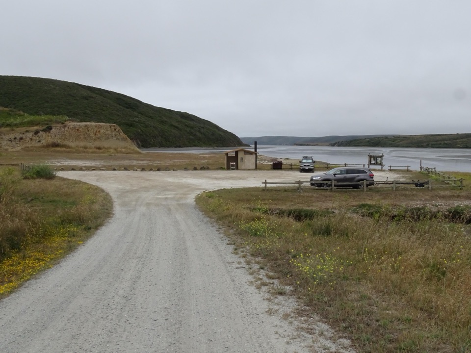 22Drakes Estero Kayak LaunchPaddle into a hushed marine wilderness of seals, rays and birds
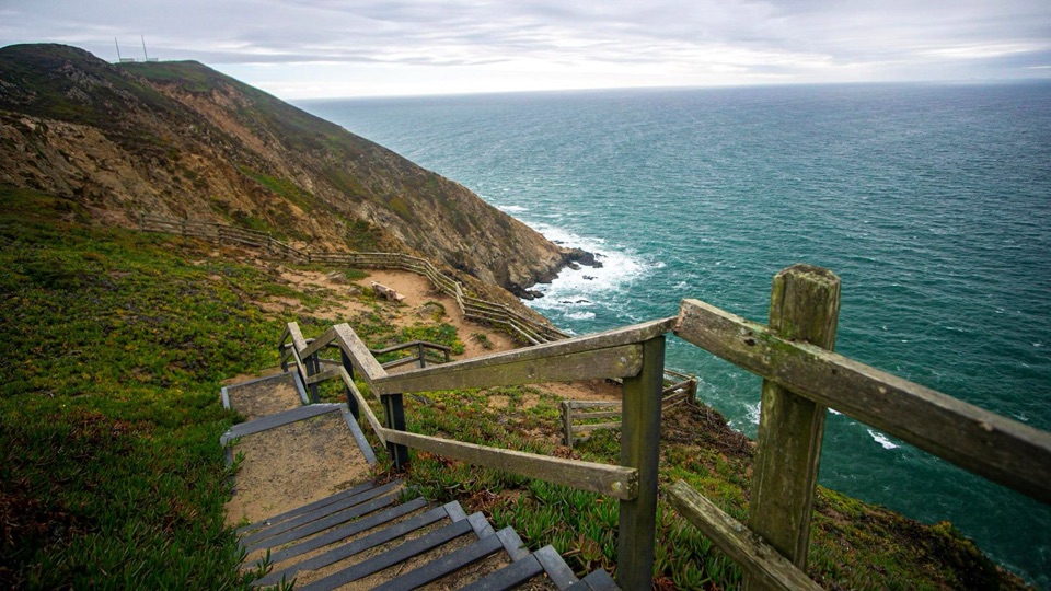 23Sea Lion OverlookDescend 54 cliff steps to hear sea lions bark below
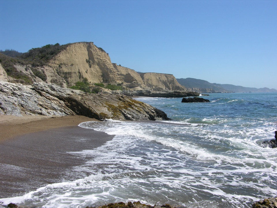 24Sculptured BeachWave-carved rocks and low-tide pools, two miles down a wild shore
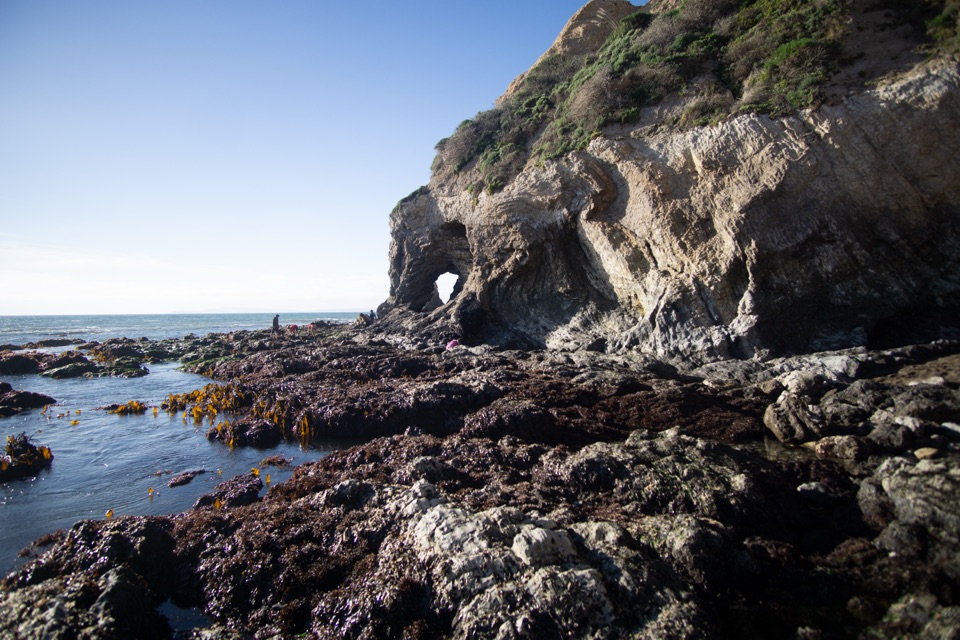 25Secret Beach and Skylight CaveCollapsed sea cave and hidden beach reached only at negative tides
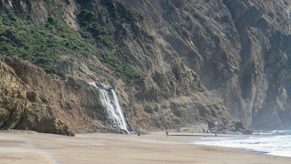 26Wildcat BeachRemote 2.9-mile beach with Alamere Falls dropping onto the sand
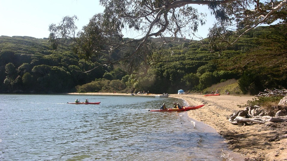 27Marshall Beach400-foot Tomales Bay strand most visitors reach by small watercraft
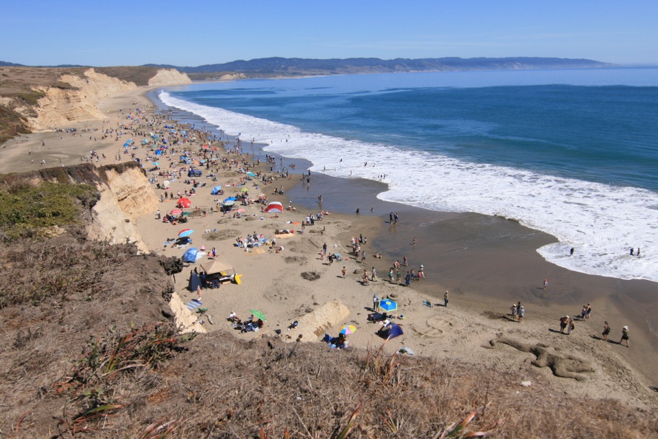 28Peter Behr OverlookShort uphill walk to a bluff-top view over Drakes Beach cliffs
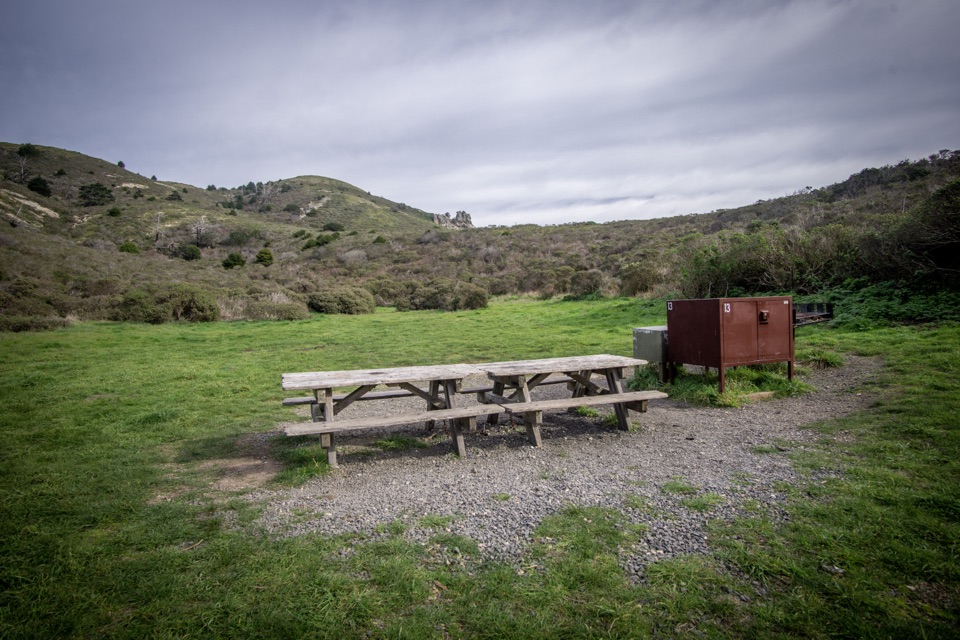 Coast CampgroundGrassy coastal valley camp minutes from beach and tidepools
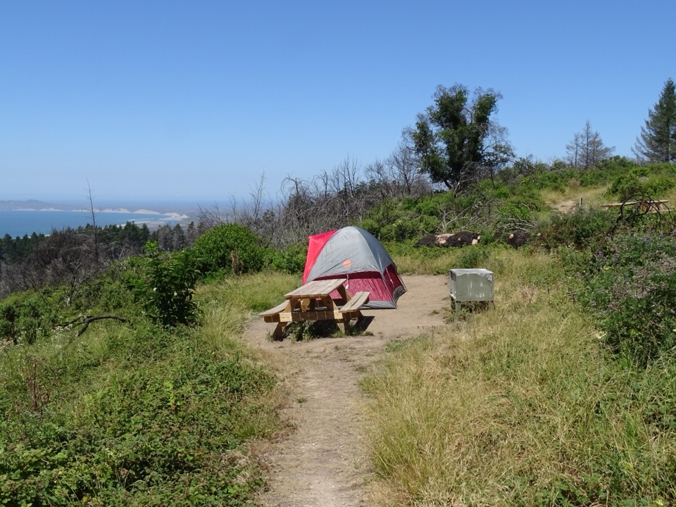 Sky CampgroundHike-in ridgetop tent sites with sweeping Drakes Bay and ocean views
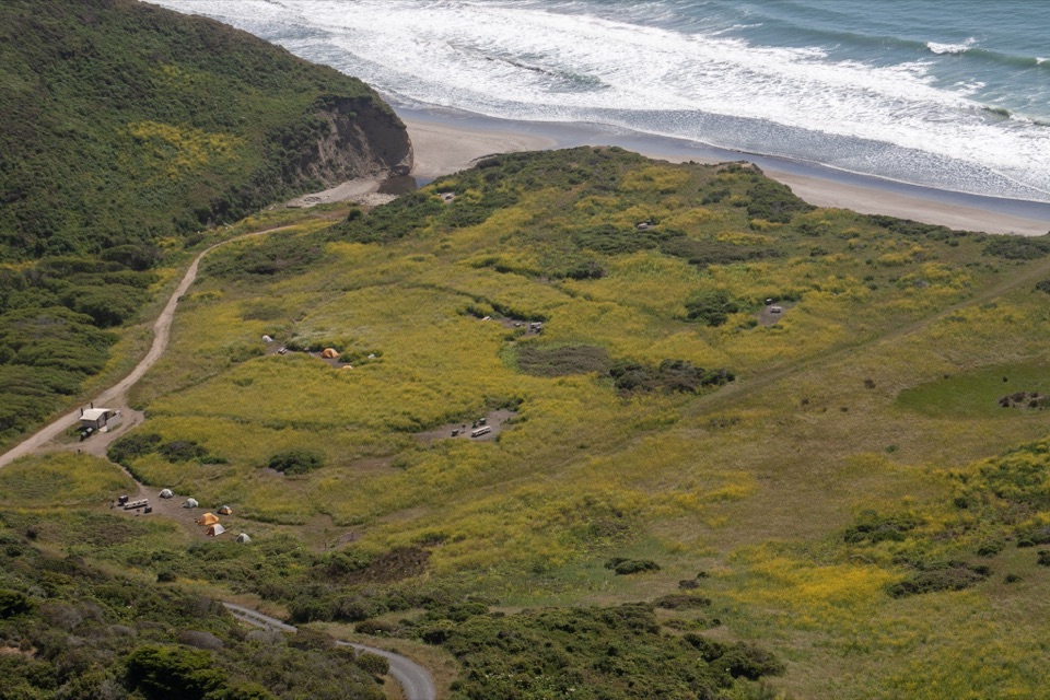 Wildcat CampgroundHike-in bluff meadow above the surf, a mile from Alamere Falls
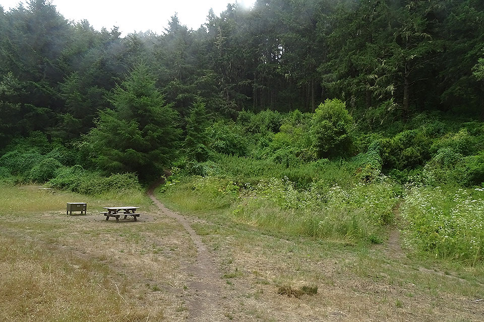 Glen CampgroundQuiet wooded valley camp, 4.6 miles in, no ocean view
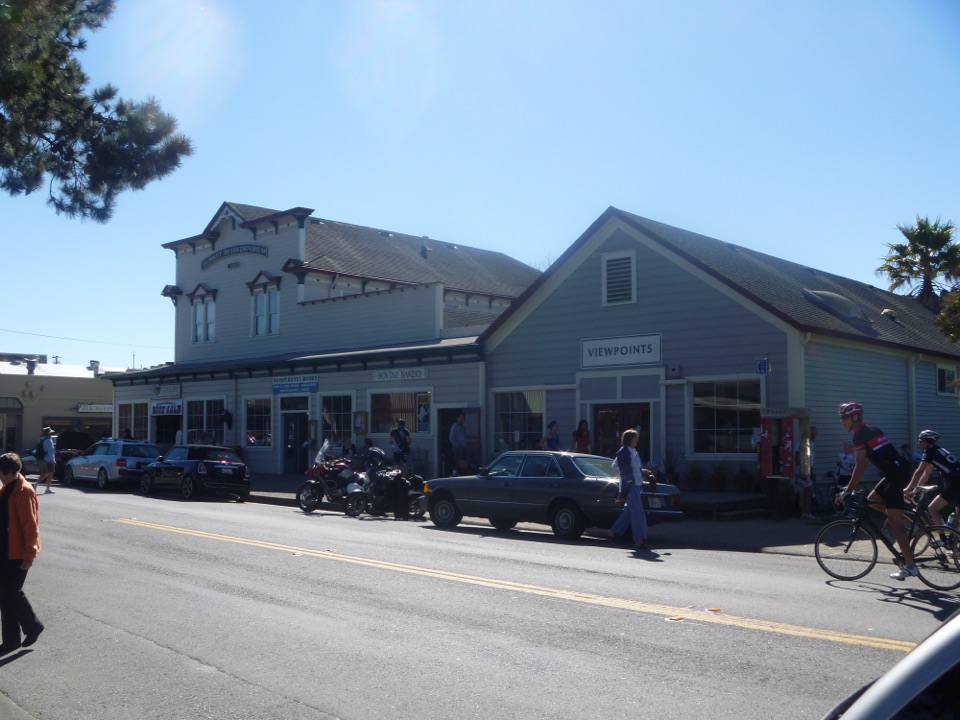 Bovine BakeryMorning buns, almond croissants, and strong drip coffee
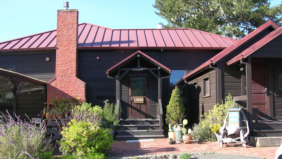 Limantour LodgePark's only roofed lodging, tucked in a valley near Limantour Beach
 29Historic Life-Saving Service CemeteryFour surfmen's graves behind a white picket fence in eucalyptus
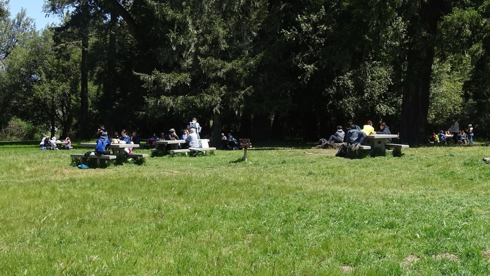 Bear Valley Picnic AreaTwenty-five shaded tables, charcoal grills, and room for big groups
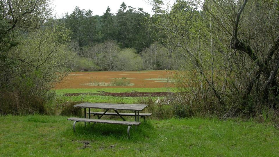 Five Brooks Picnic AreaSix trailside tables, some beside an abandoned mill pond
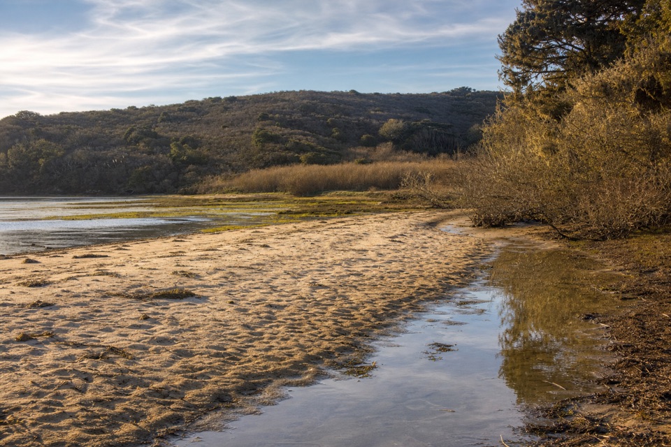 30Tomales BeachKayak-in camp beach with vault toilets, so no wag bag needed
The highest, rockiest slopes around here are a summer buffet for grizzly bears.
Point Reyes Tour Guide
Point Reyes, narrated.
Parkwolf is a GPS audio tour guide for Point Reyes National Seashore. As you drive, it chimes in with what’s ahead: hidden gems, upcoming stops, history, geology, and wildlife, right through your car’s speakers.
Recorded for this place
Point Reyes Lighthouse Headlands0:00 / 0:32
“You're approaching the Point Reyes Lighthouse headlands. The original French-made Fresnel lens weighs about six thousand pounds and once flashed every five seconds.”
Plays as you drive up to Point Reyes Lighthouse in the Parkwolf Point Reyes Tour Guide.
More stories near here in the app
- Where Elephant Seals Go
- Look for the Whale’s Breath
- Chimney Rock and Elephant Seal Overlook
- The Animals in the Cliffs
- 61 audio storiesacross Point Reyes’s roads, triggered by GPS as you drive
- Wildlife heatmapsfor Northern Elephant Seal, Grey Whale, Humpback Whale, and 13 more
- Works offlinemaps, 65 trails, 41 places, and audio download before you lose signal
- CarPlay readysimple controls built for the drive
“Fantastic app with many points of information… It’s great to just turn on while you’re driving and it gives you an audio tour of the national Park. We love it!!!!”

