
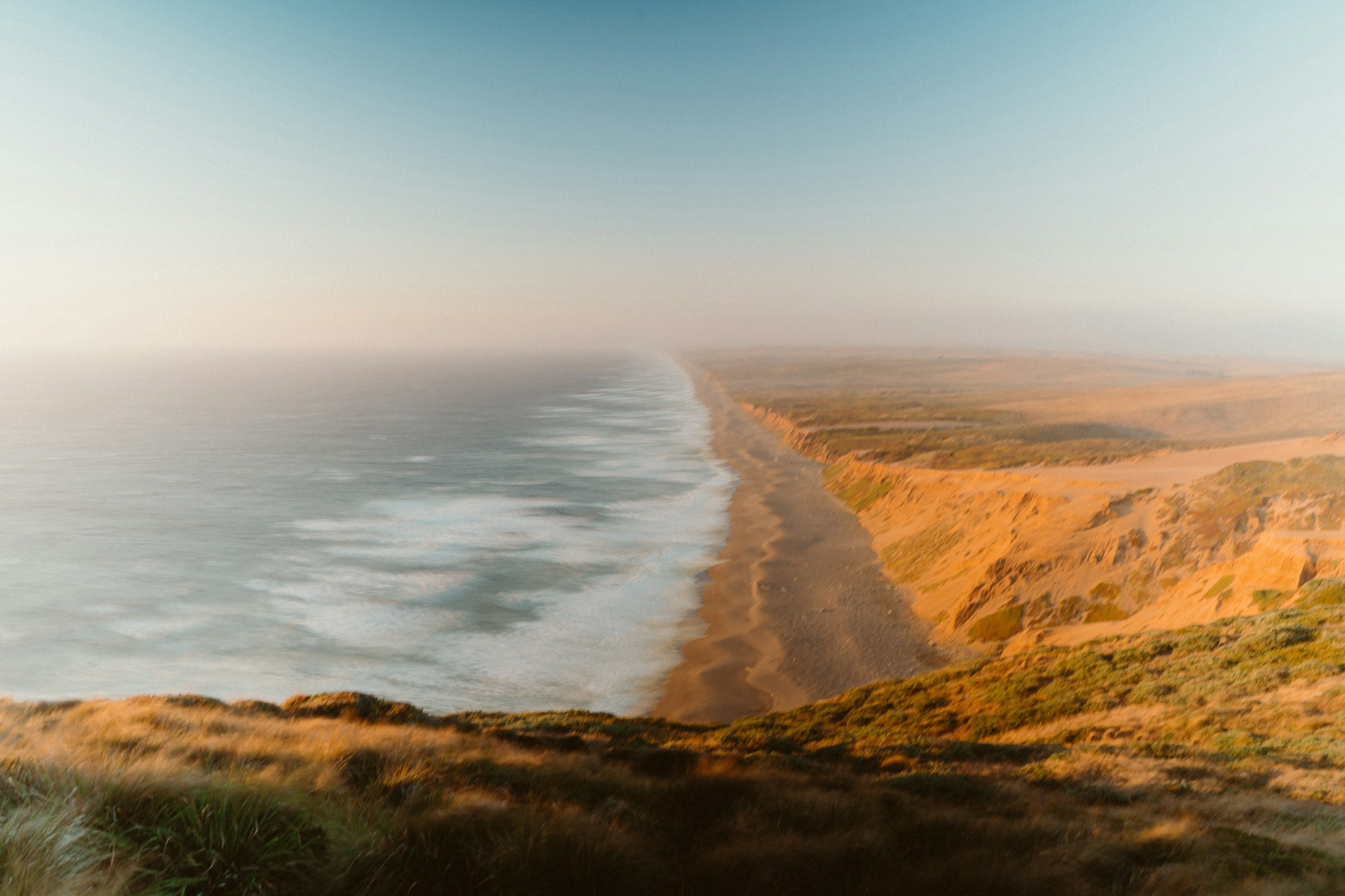
All Point Reyes trails
65 trails
 1Tomales Point TrailWalk a wild elk ridge to the Pacific end of the peninsula.
 2Alamere Falls via Palomarin and Wildcat BeachA long coastal hike ends at a waterfall spilling onto Wildcat Beach.
 3Chimney Rock TrailA short headland walk for ocean views and spring wildflowers.
 4Abbotts Lagoon TrailThree lagoons, a footbridge, and a sandy finish at Great Beach.
 5Bear Valley Trail to Miller PointA long forest walk ends at a headland above Drakes Bay.
 6Drakes Head via Estero TrailLong pasture miles end at a bluff above Drakes Estero.
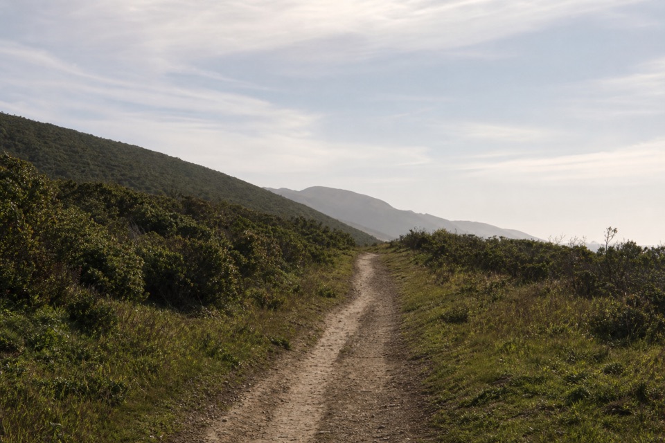 7Laguna-Coast LoopA Drakes Bay ridge view, then a bluff-top coast return.
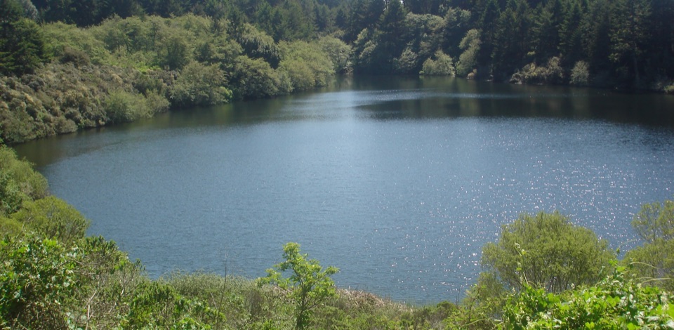 8Bass Lake via Coast TrailBluff-top surf views lead inland to a small lake.
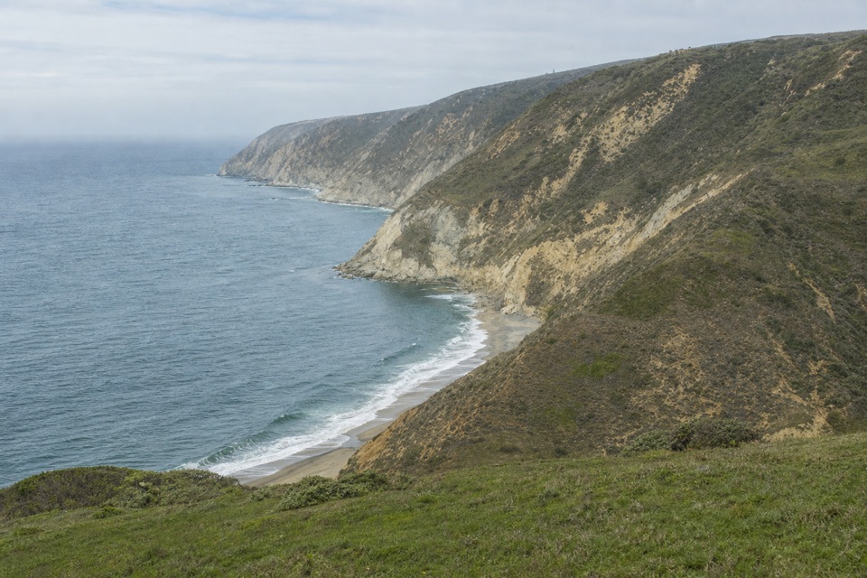 9Woodward Valley LoopForest, ridge and open coast in one strenuous circuit.
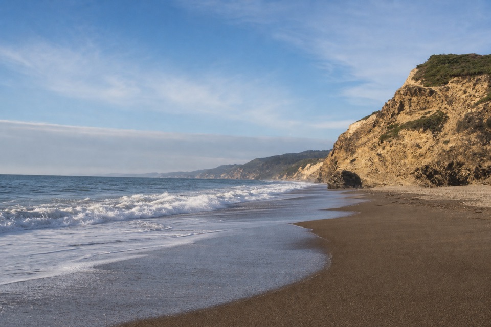 10Wildcat Beach via Coast TrailA long coastal hike to a wild beach and back.
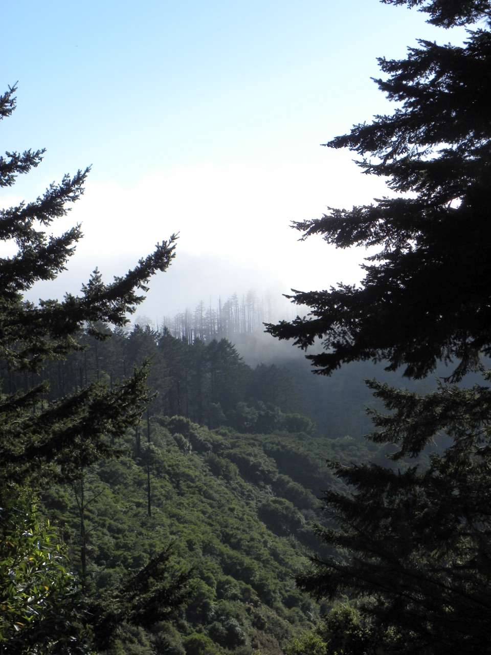 11Sky–Bear Valley LoopA steep ridge climb trades forest shade for fire-opened views.
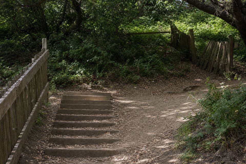 12Earthquake TrailA split fence makes the 1906 quake’s movement tangible.
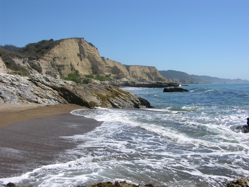 13Sculptured Beach via Laguna and Santa Maria BeachRidge views, a remote beach, and a route planned around the tide.
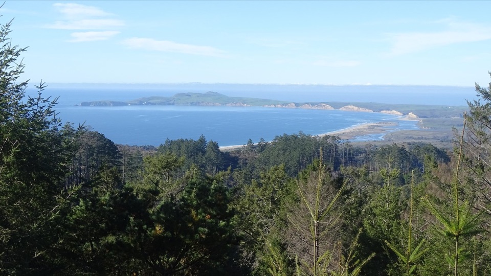 14Mount Wittenberg Trail from Bear ValleyA steep forest climb to a summit mostly screened by fir.
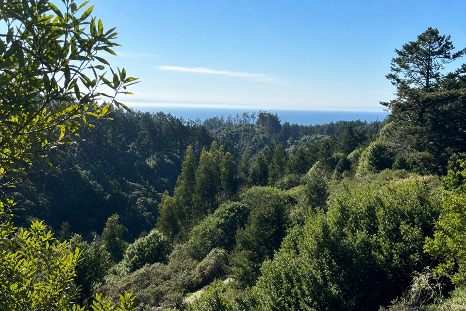 15Mount Wittenberg from Sky TrailheadThe forested high point hides summit views; the return finds the Pacific.
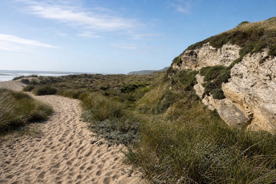 16Kehoe Beach TrailA short dune crossing leads to a wild, surf-washed beach.
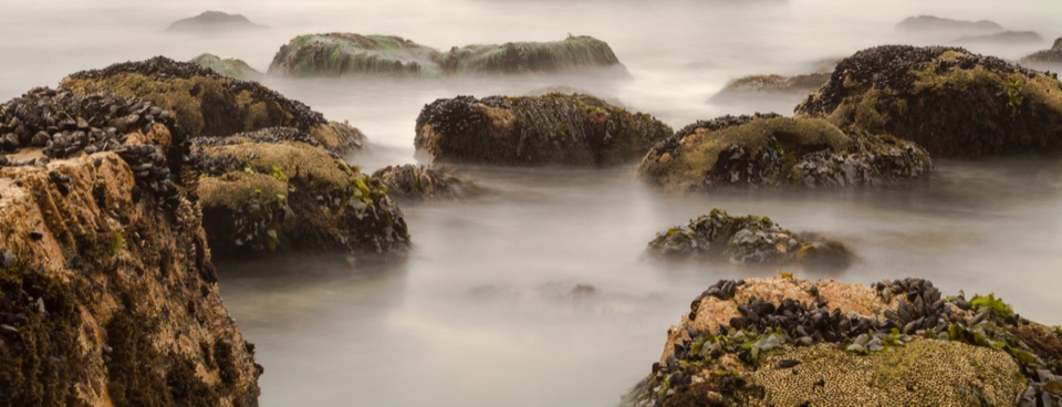 17McClures Beach TrailA sandy ravine descent to a cove of surf and sea stacks.
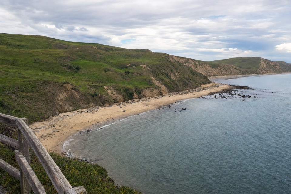 18Elephant Seal Overlook TrailA short bluff walk above Drakes Beach, with seals in view seasonally.
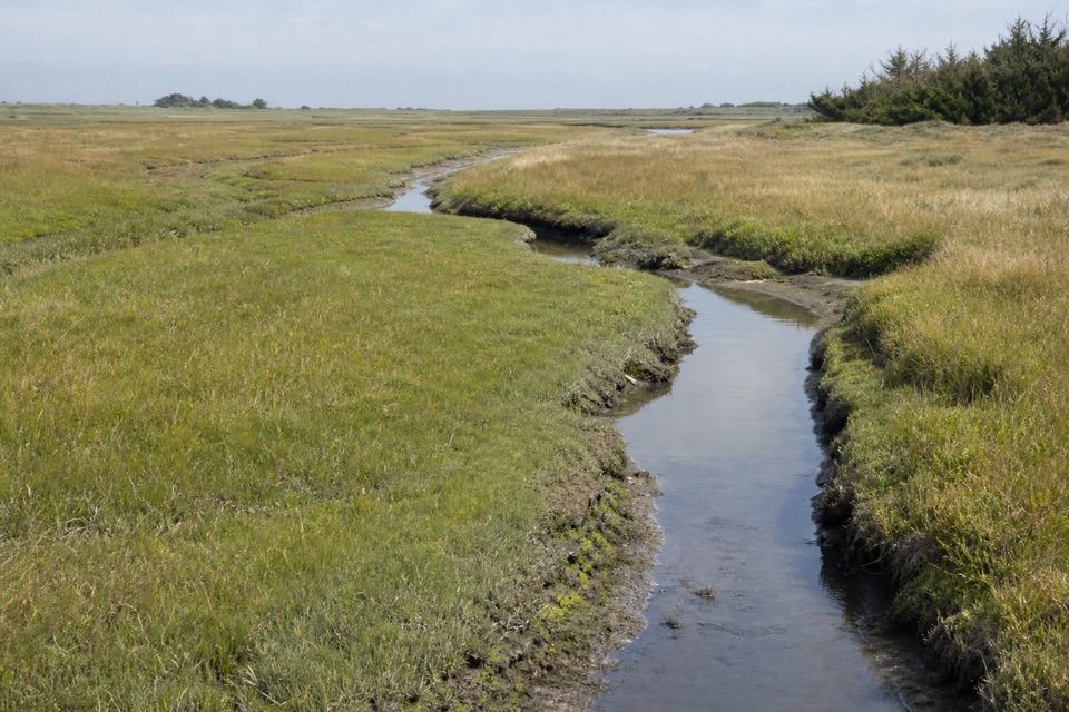 19Muddy Hollow TrailA flat walk through alder shade to a tidal marsh.
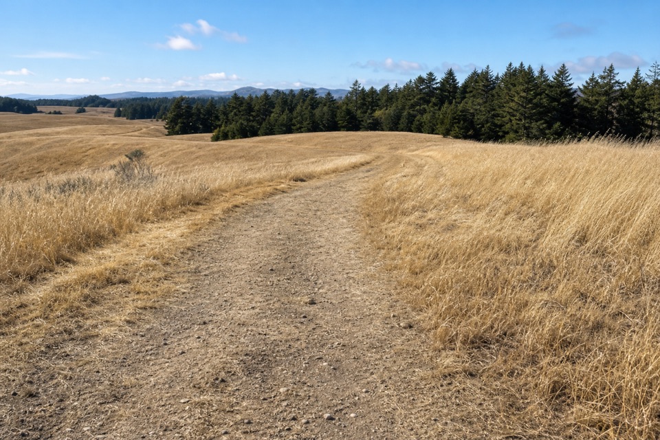 20Bolinas Ridge TrailA long traverse from open pasture into redwood shade.
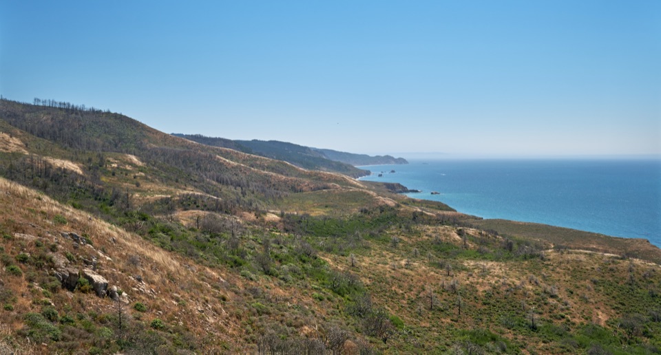 21Sky–Woodward Valley–Fire Lane LoopA steep ridge-to-coast loop with big ocean views off Woodward Valley.
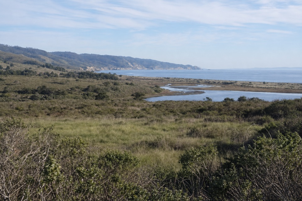 22Estero–Glenbrook–Muddy Hollow Road LoopA changing loop from young woodland to open Estero views.
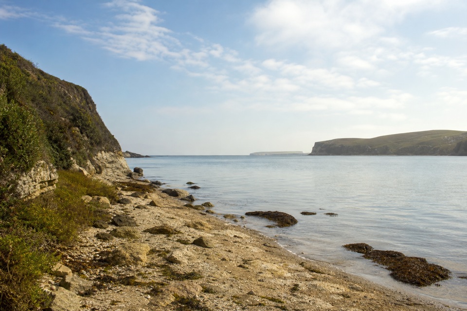 23Sunset Beach via Estero TrailEstuary views and working pasture lead to a rocky wetland shore.
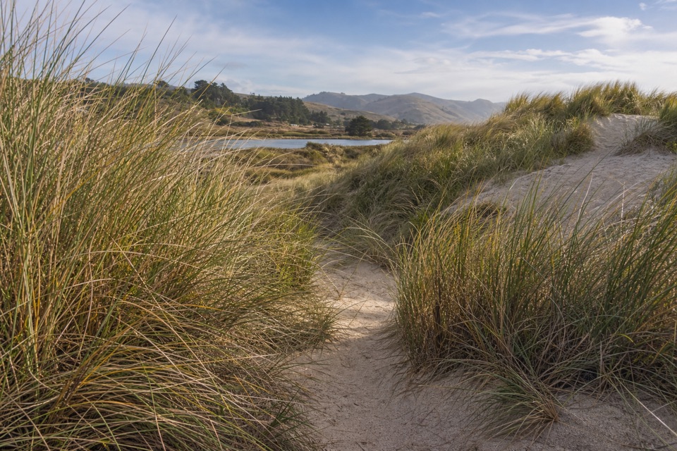 24Limantour Spit TrailA short sandy trail for birdwatching beside the estuary.
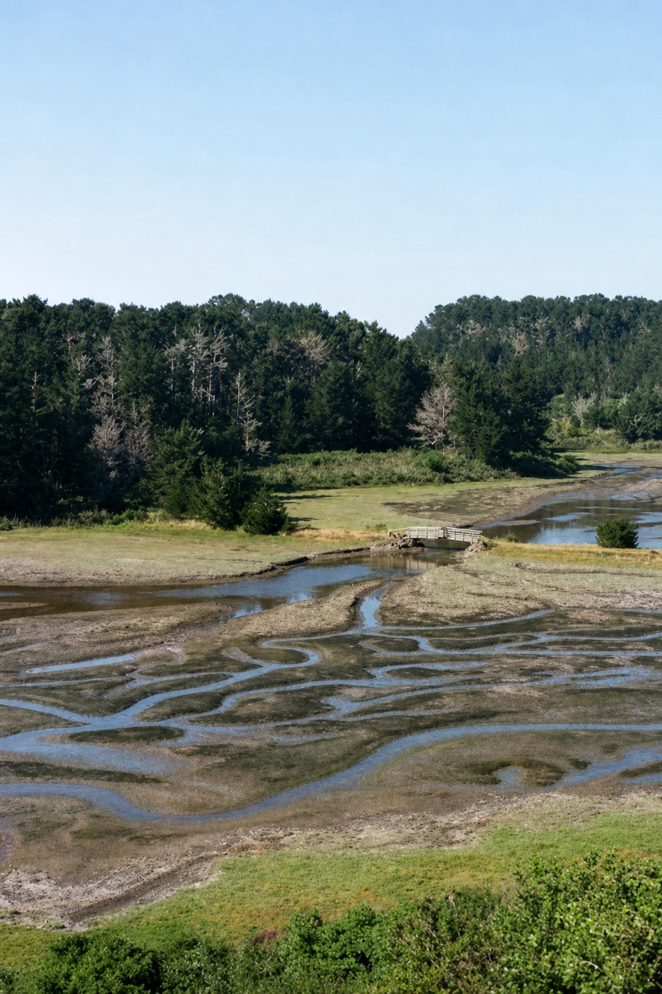 25Estero Trail to Home BayA short grassland walk ends at a footbridge over Home Bay.
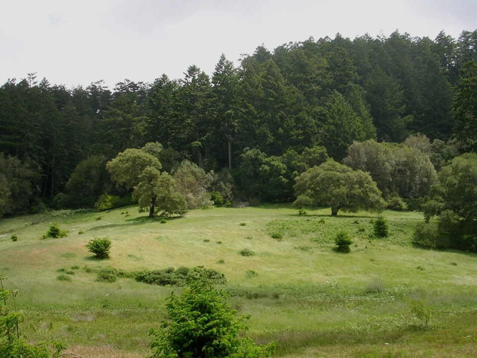 26Bear Valley Trail to Divide MeadowFollow a shady creek to a grassy meadow turnaround.
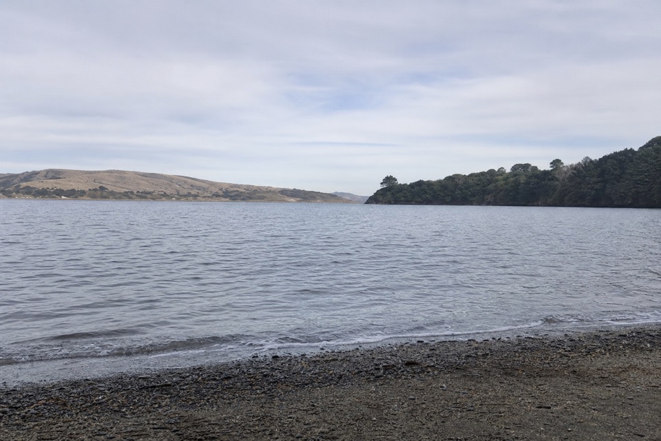 27Marshall Beach TrailA ranch road drops through pasture to a small Tomales Bay cove.
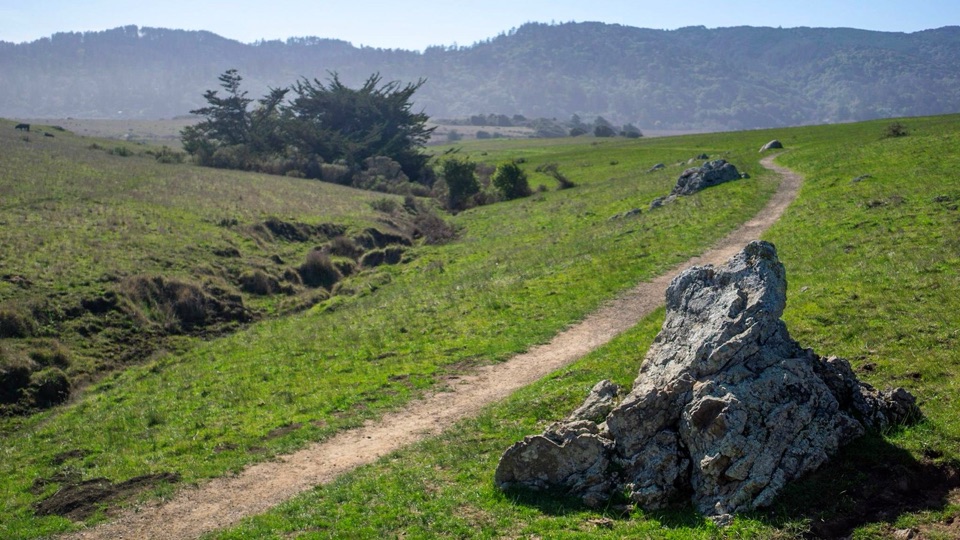 28Tomales Bay TrailPasture paths open onto Tomales Bay and restored wetlands.
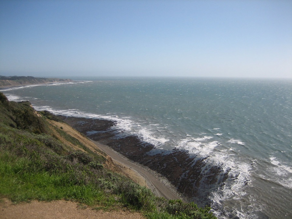 29Coast Trail: Palomarin to Laguna RoadA full-day coastal traverse linking two hike-in camps.
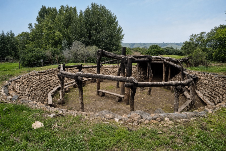 30Kule Loklo TrailA short climb ends at a Coast Miwok village replica
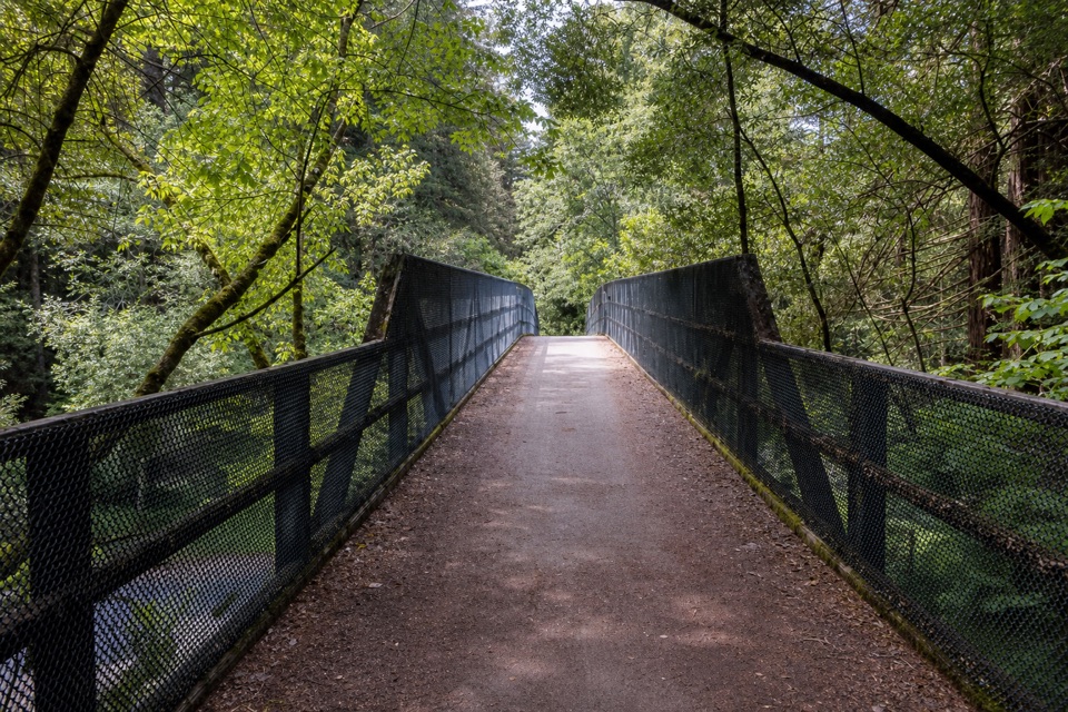 31Cross Marin TrailAn old rail grade traces Lagunitas Creek through redwoods.
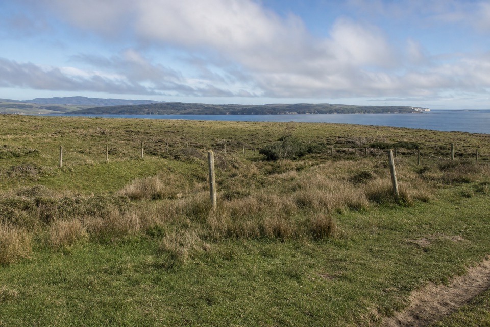 32Bull Point TrailA level pasture walk to the grassy edge of Drakes Estero
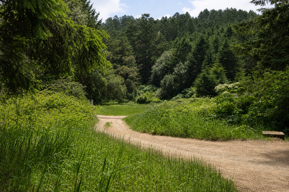 33Bear Valley–Glen–Coast LoopA 9.8-mile forest loop with a stretch of ocean views
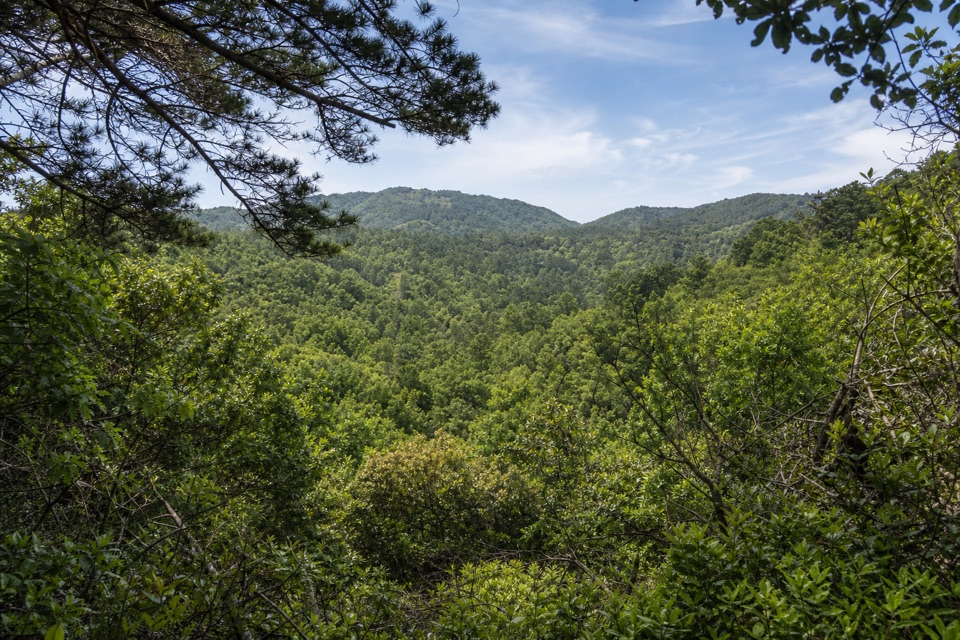 34Inverness Ridge–Drakes View–Bayview LoopA wooded five-mile loop with one steep, pine-soft descent.
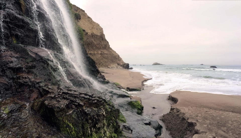 35Stewart Trail to Wildcat BeachA long ridge climb ends at a beach beneath the bluff.36Bear Valley Forest LoopA wooded climb, ridge crossing, and mossy Old Pine descent.
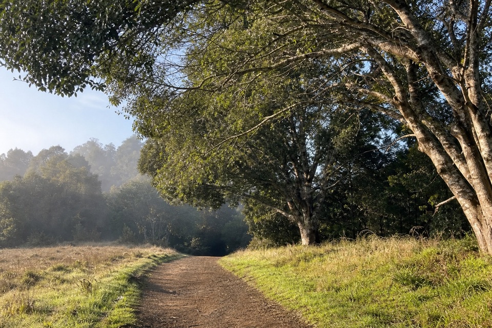 37Woodpecker Nature TrailMeadow, creek and acorn granary trees in one short loop.
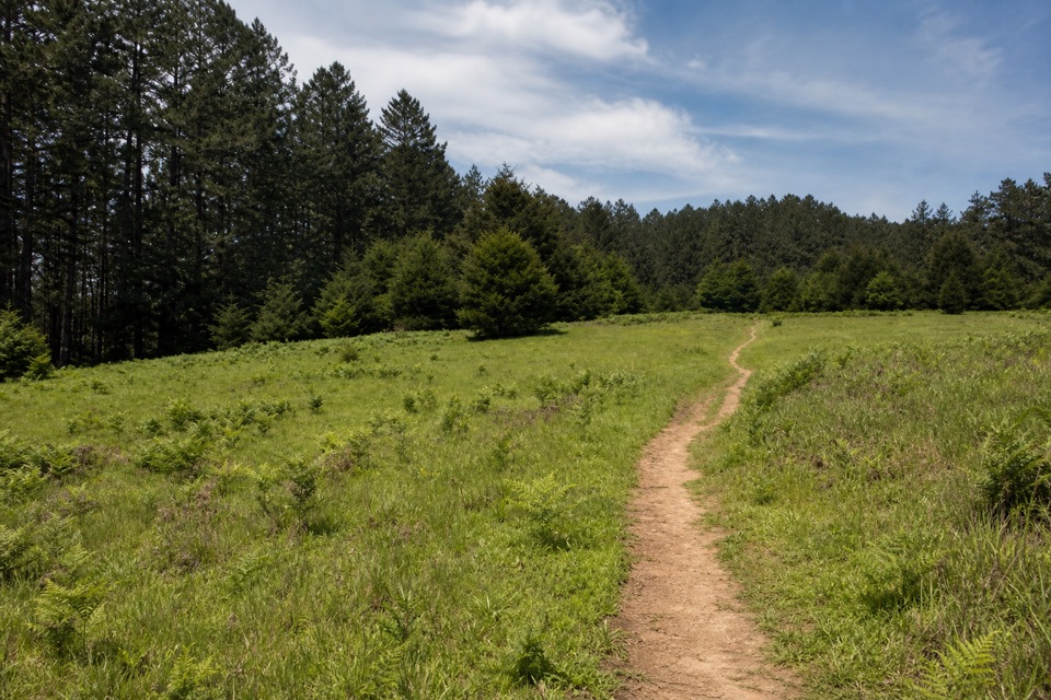 38Meadow–Horse Trails LoopClimb through meadow woods for ridgeline views toward the Pacific.
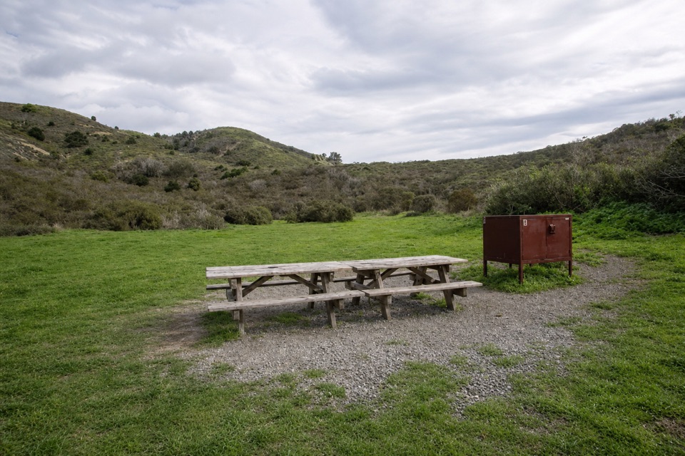 39Coast Trail to Coast CampA flat coastal walk ends at a campground beside Santa Maria Beach.
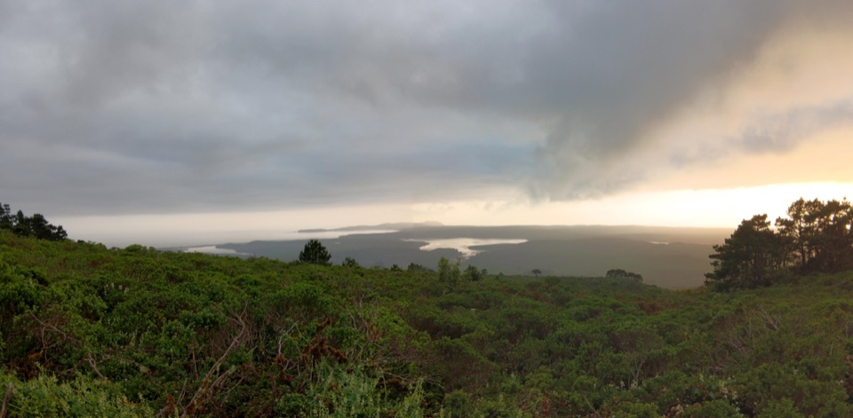 40Bucklin–Muddy Hollow Road–Drakes View–Inverness Ridge LoopA strenuous ridge loop with wide Drakes Bay views.
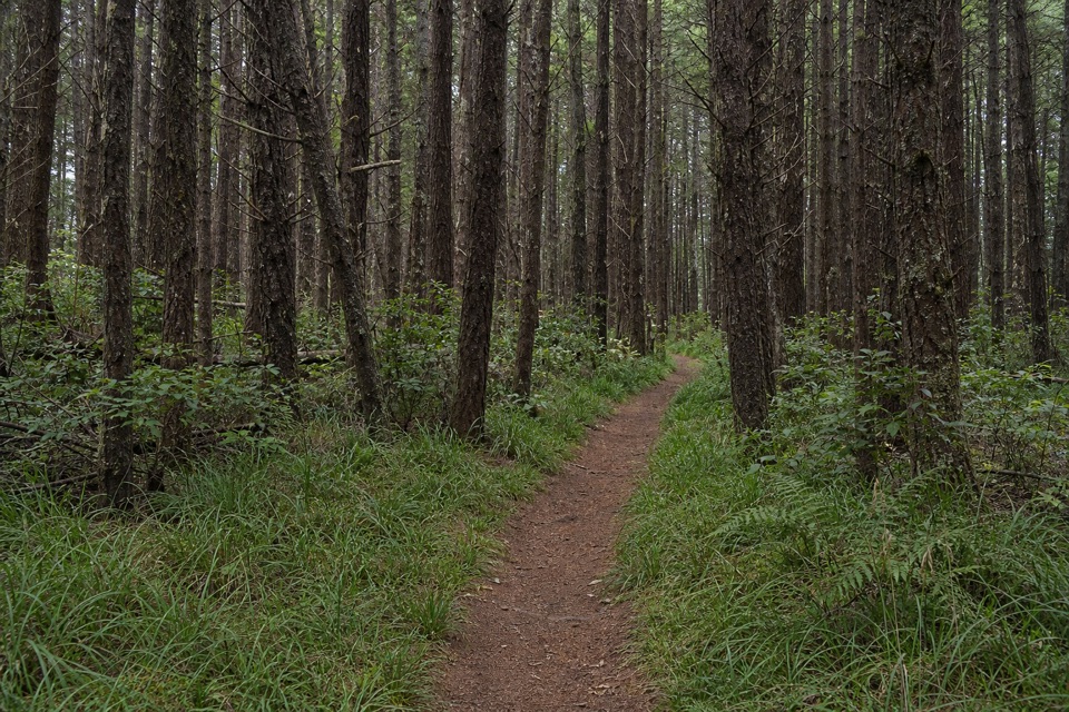 41Five Brooks LoopA shady loop with a steady climb and a historic mill pond.
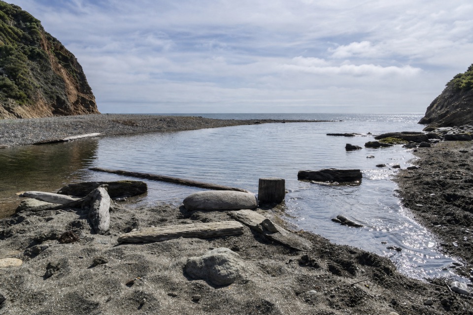 42Stewart Trail Long LoopForest ridges and a long ocean-view stretch reward a full day.
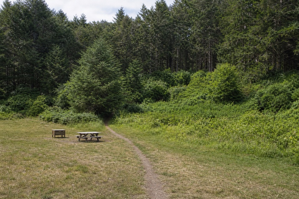 43Glen Camp Loop via Bear ValleyA shaded creekside hike circles Glen Camp through a wooded valley.
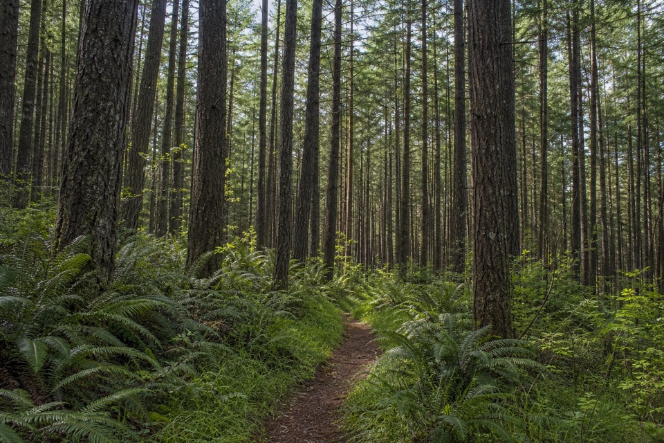 44Stewart–Greenpicker LoopShady forest, ferns, and a climb that can turn muddy
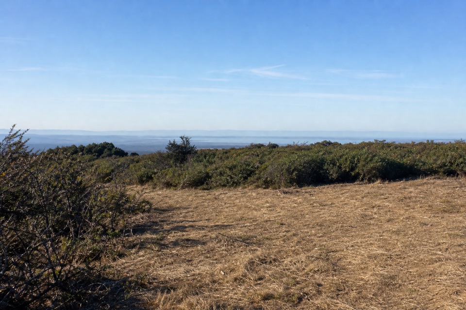 45Bucklin–Muddy Hollow Road–Bayview–Inverness Ridge LoopAn 8.6-mile strenuous loop from ridge views into pine forest.
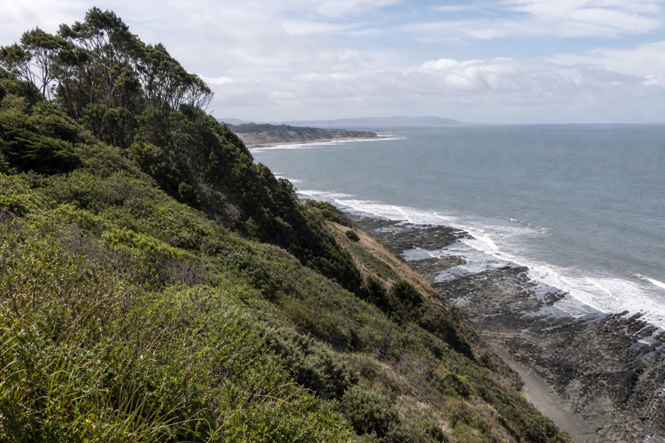 46Coast–Lake Ranch–Ridge LoopOcean cliffs, a forest pond and a quieter ridge in one day
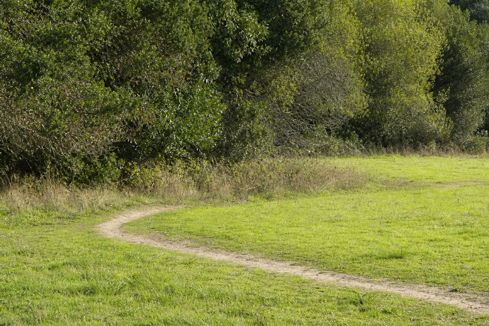 47Rift Zone TrailThe San Andreas Fault leaves clues you can walk right past.
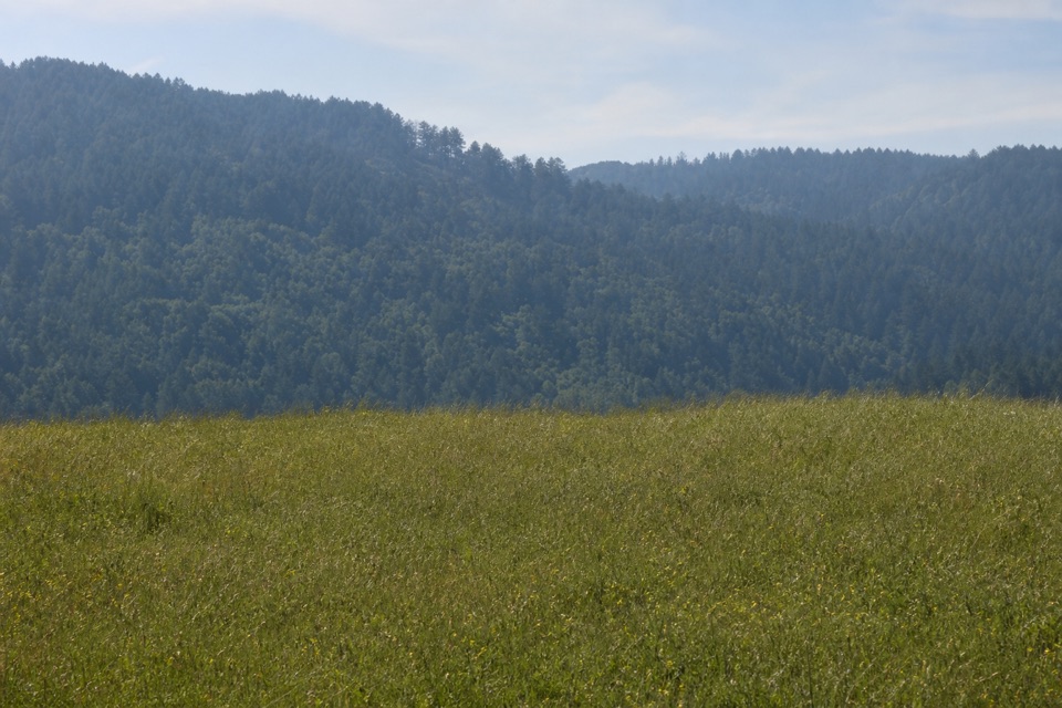 48Bay Area Ridge Trail: Bolinas Ridge to Samuel P. Taylor State ParkA long ridge crossing ends beside Lagunitas Creek.49Point Reyes Hill TrailA short ridge walk ends at a bench above Drakes Bay.
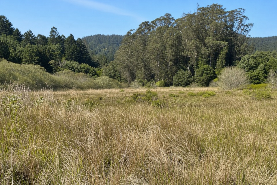 50Randall–Bolinas Ridge–McCurdy–Olema Valley LoopA strenuous loop links ridge views with a creek-crossing valley return.
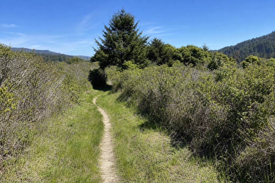 51Olema Valley–Teixeira–Ridge–Bolema LoopA strenuous 10.1-mile loop across Olema Valley and Inverness Ridge
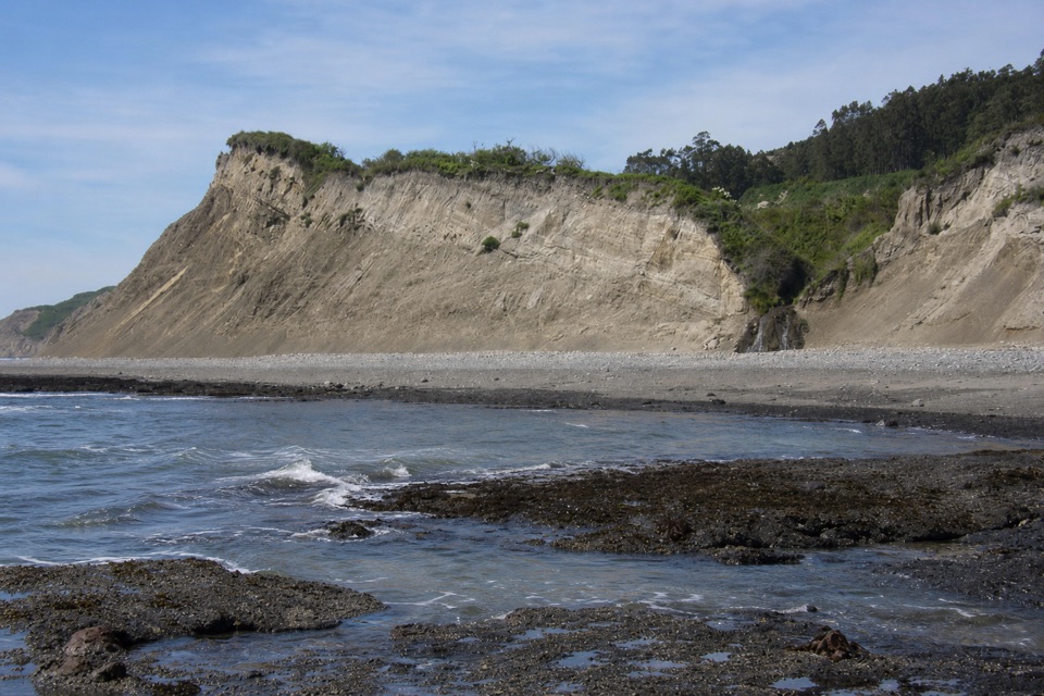 52Palomarin Beach TrailA short Coast Trail spur reaches a beach beneath eroding bluffs.
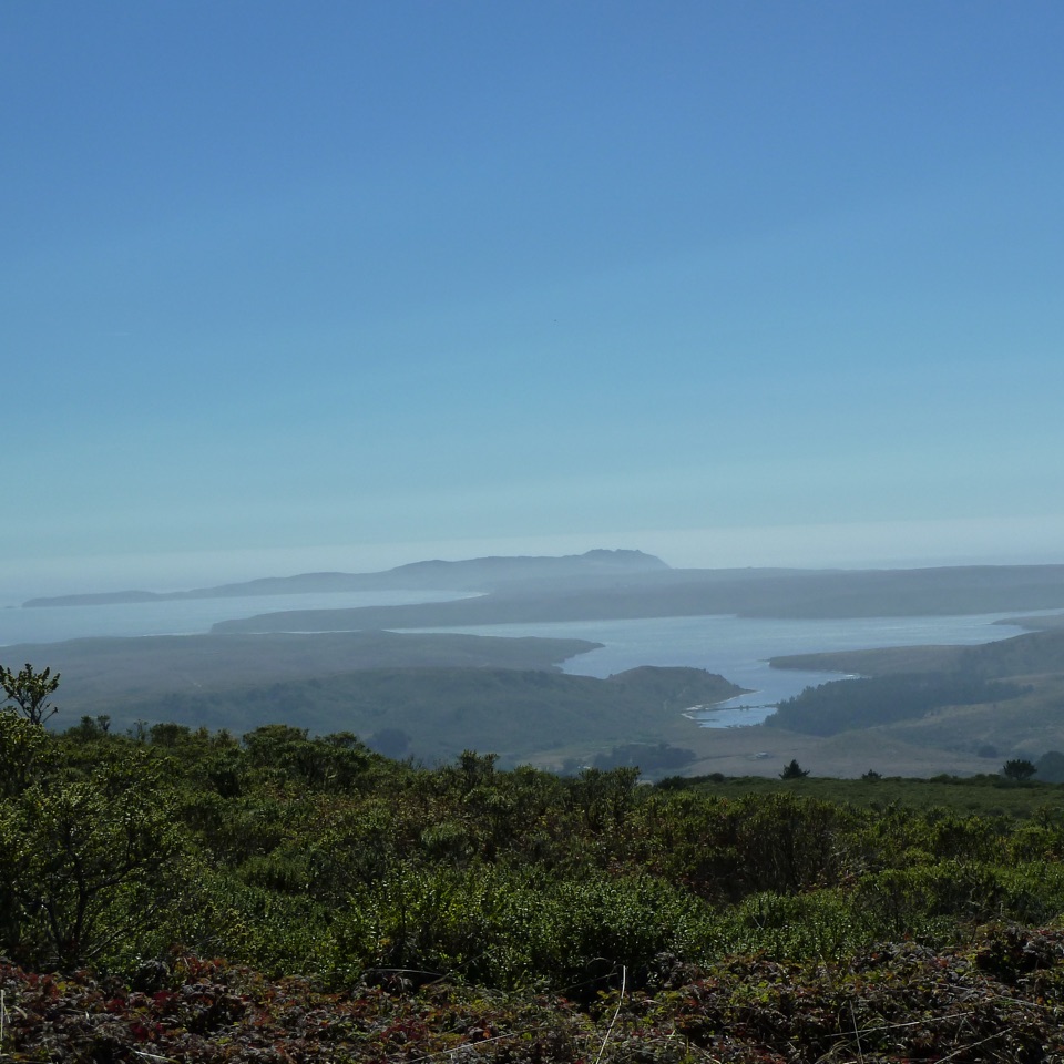 53Inverness Ridge TrailA quiet ridge crossing opens toward Drakes Estero and the Pacific.
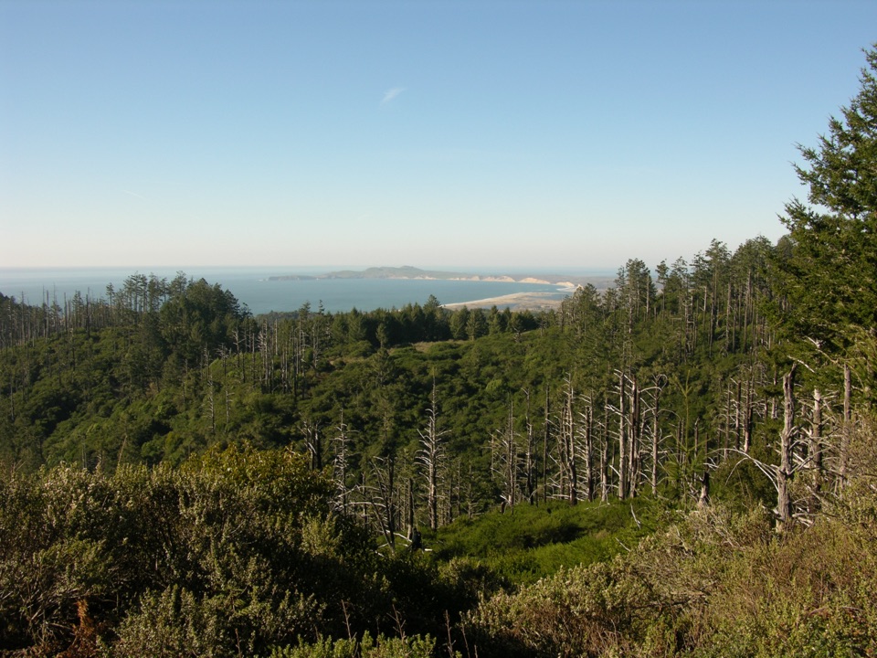 54Sky Trail to Sky CampA short uphill forest walk ends above Drakes Bay.
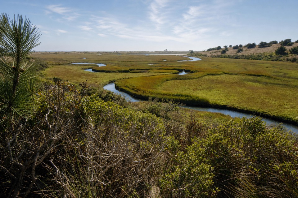 55Estero–White Gate LoopTwo estuaries, marsh ponds, and a four-mile retrace.
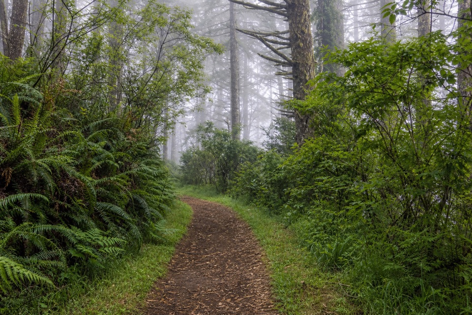 56Sky–Z Ranch LoopA shaded forest circuit with a Pacific glimpse when fog lifts.
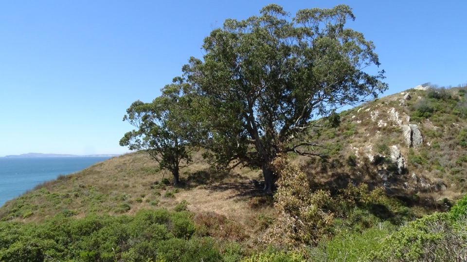 57Y Ranch Site via Bear Valley and Coast TrailA long walk to a eucalyptus pair above Drakes Bay.
 58Olema Valley TrailA 5.3-mile valley through-hike with meadows and an unbridged ford.
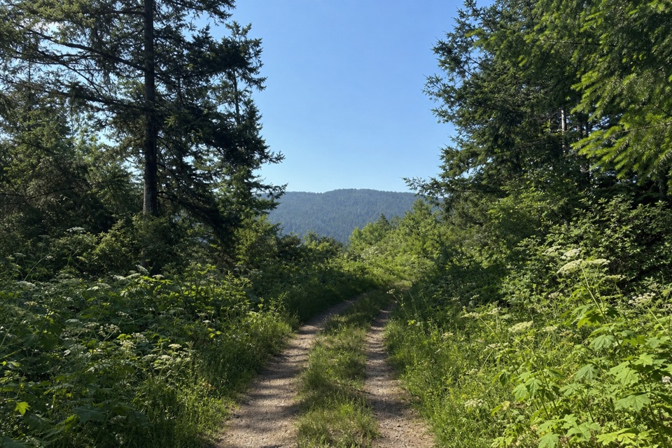 59Randall TrailClimb through pasture and redwoods to Bolinas Ridge
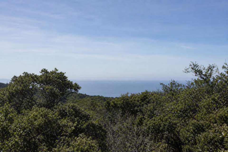 60McCurdy TrailClimb through pasture, redwoods and chaparral to Bolinas Ridge.
 61Ridge TrailA long shaded ridge walk that ends away from its start.
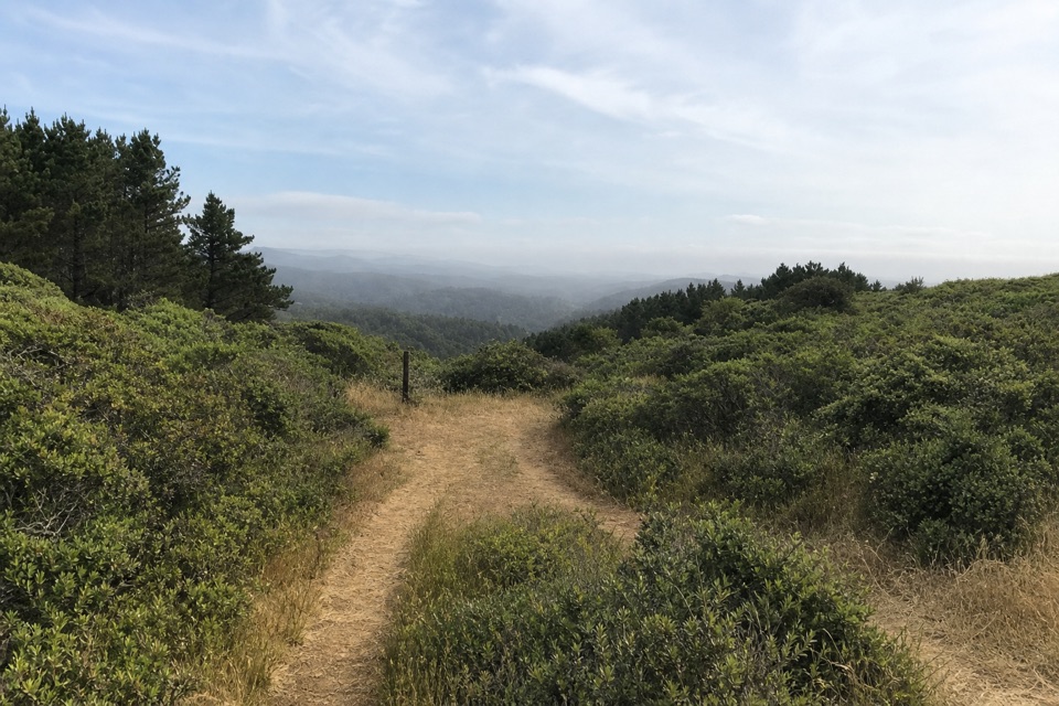 62Bucklin TrailA ridge connector with ocean views from Limantour to Chimney Rock.
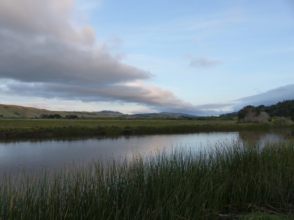 63Giacomini Barn LoopA short wetlands loop to a barn, bay views and birdlife.
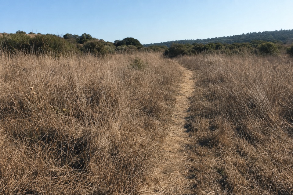 64Olema Marsh TrailA short, level look across the Olema marsh.
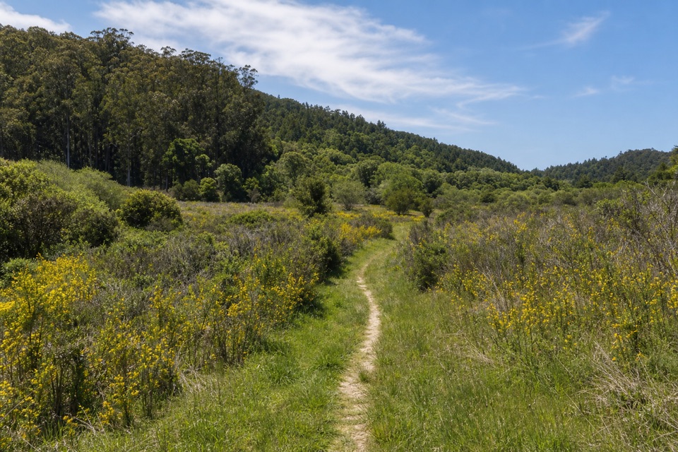 65Pablo Point TrailA 5.4-mile out-and-back to an unmaintained meadow spur.
The highest, rockiest slopes around here are a summer buffet for grizzly bears.
Point Reyes Tour Guide
Point Reyes, narrated.
Parkwolf is a GPS audio tour guide for Point Reyes National Seashore. As you drive, it chimes in with what’s ahead: hidden gems, upcoming stops, history, geology, and wildlife, right through your car’s speakers.
Recorded for this place
Point Reyes Lighthouse Headlands0:00 / 0:32
“You're approaching the Point Reyes Lighthouse headlands. The original French-made Fresnel lens weighs about six thousand pounds and once flashed every five seconds.”
Plays as you drive up to Point Reyes Lighthouse in the Parkwolf Point Reyes Tour Guide.
More stories near here in the app
- Where Elephant Seals Go
- Look for the Whale’s Breath
- Chimney Rock and Elephant Seal Overlook
- The Animals in the Cliffs
- 61 audio storiesacross Point Reyes’s roads, triggered by GPS as you drive
- Wildlife heatmapsfor Northern Elephant Seal, Grey Whale, Humpback Whale, and 13 more
- Works offlinemaps, 65 trails, 41 places, and audio download before you lose signal
- CarPlay readysimple controls built for the drive
“Fantastic app with many points of information… It’s great to just turn on while you’re driving and it gives you an audio tour of the national Park. We love it!!!!”

