
All Big Bend places
64 places
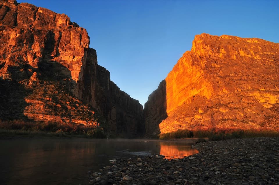 1Santa Elena CanyonThe Rio Grande threads an eight-mile gorge of sheer limestone.
 2Sotol VistaA west-side panorama with Santa Elena Canyon as a distant gap.
 3Fossil Discovery ExhibitA shady gallery pairs bronze skulls with a 35-foot pterosaur.
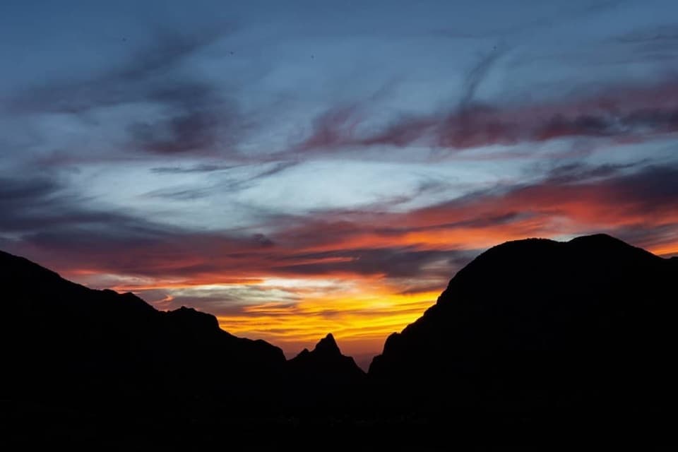 4Window ViewA short, paved loop for sunset through the Window.
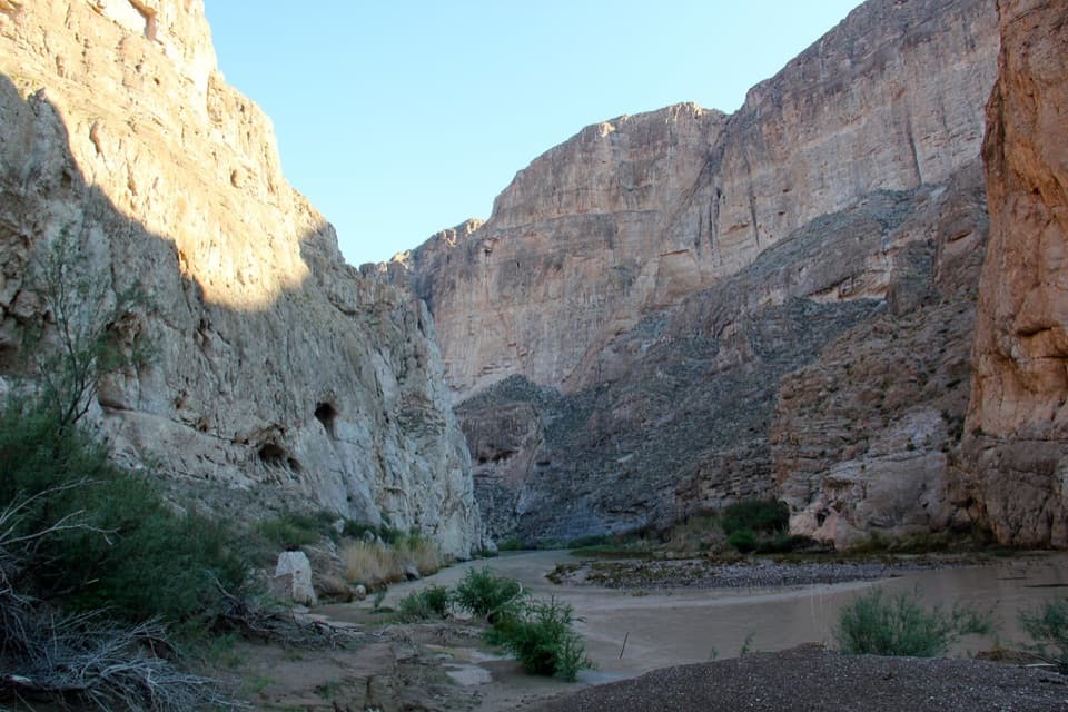 5Boquillas CanyonFollow the river into a limestone gorge at Big Bend’s edge.
 Panther Junction Visitor CenterStart here before the long drives through the park.
 6Langford Hot SpringsA warm soak inside a historic bathhouse foundation.
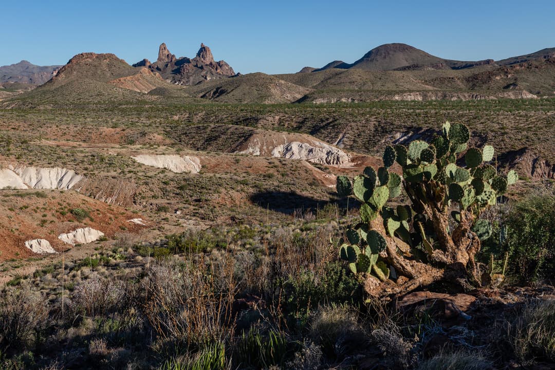
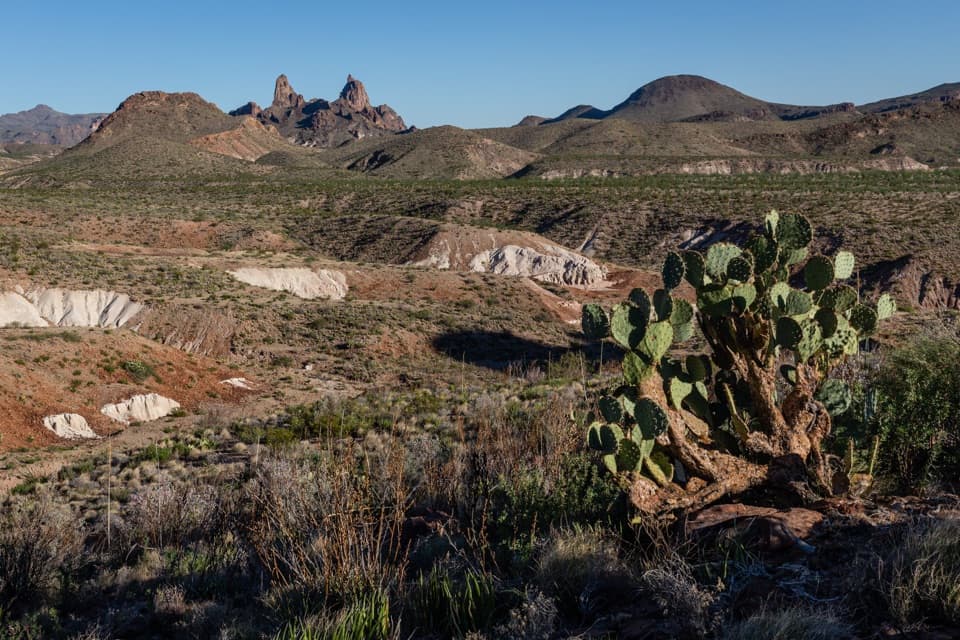 7Mule Ears OverlookPaired volcanic spires make this roadside detour worth a stop.
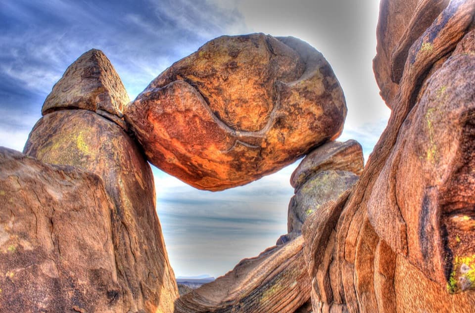 8Balanced RockA boulder spans two stone pillars in a field of desert rocks.
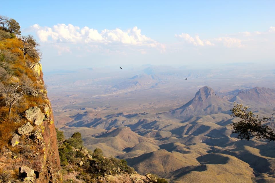 9South Rim ViewpointA hard, full day of hiking earns the high rim panorama.
 10Emory PeakA 10.5-mile round trip earns a 360-degree summit panorama.
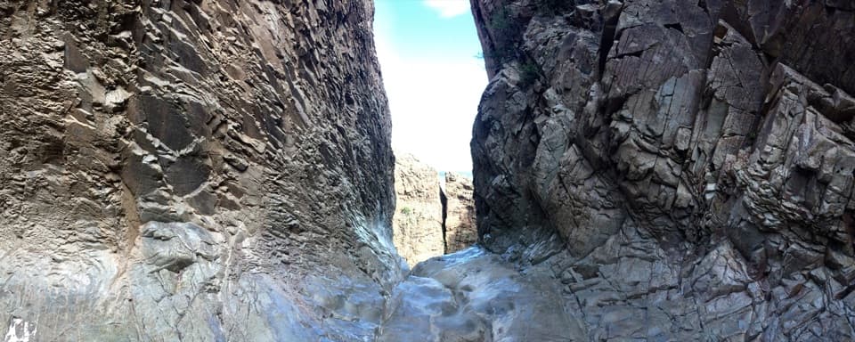 11The WindowA long hike to a 200-foot pour-off framing the desert.
 12Castolon Historic DistrictA borderland history stop among Big Bend’s adobe buildings.
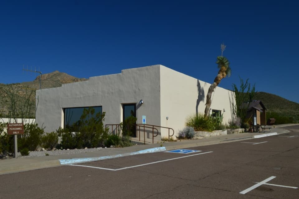 Chisos Basin Visitor CenterA quick Chisos wildlife primer before you head for the Basin trails.
 13Homer Wilson RanchA short hike turns a scenic-drive pullout into a ranch-history stop.
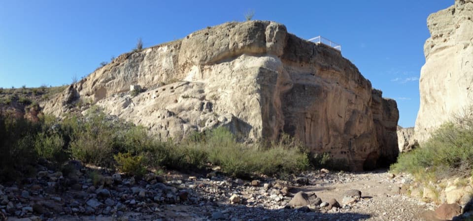 14Tuff CanyonThree rim platforms reveal pale tuff and a deep, narrow canyon.
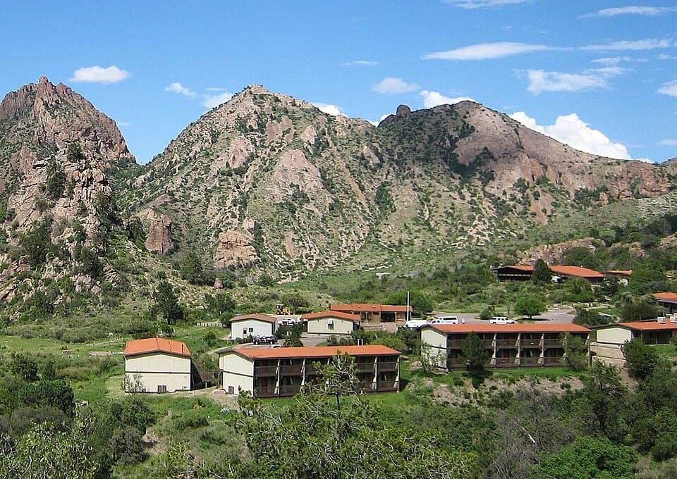 Chisos Mountains LodgeStay at the park's only lodge, high in Chisos Basin.
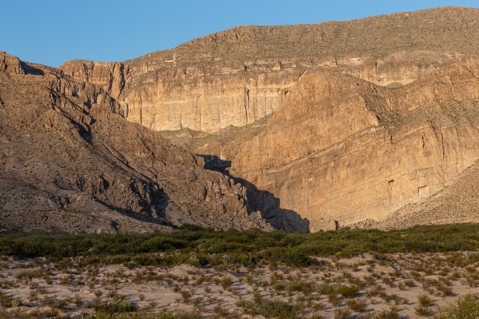 15Boquillas OverlookA cross-border view, with the canyon entrance hiding in plain sight.
 Boquillas Port of EntryA rare border crossing opens onto a small town across the river.
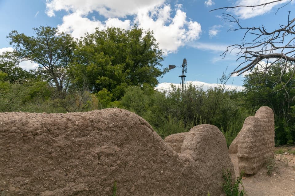 16Sam Nail RanchA half-mile loop to adobe ruins and a shaded creek oasis.
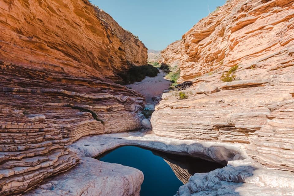 17Ernst TinajaFolded orange limestone frames a fossil-rich desert pool.
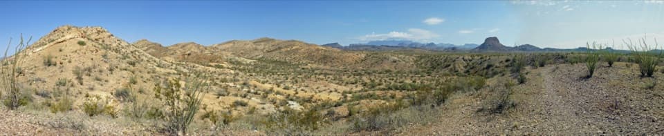 18Desert Mountain OverlookFind Emory Peak, the South Rim and Elephant Tusk from the road.
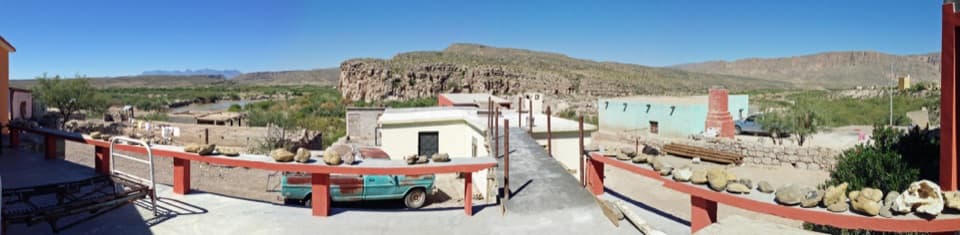 19Boquillas del CarmenA cross-border village visit with mining roots and local crafts.
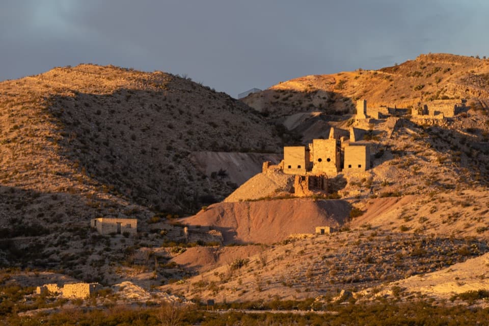 20Mariscal MineA remote mercury mine with a towering furnace and settlement ruins.
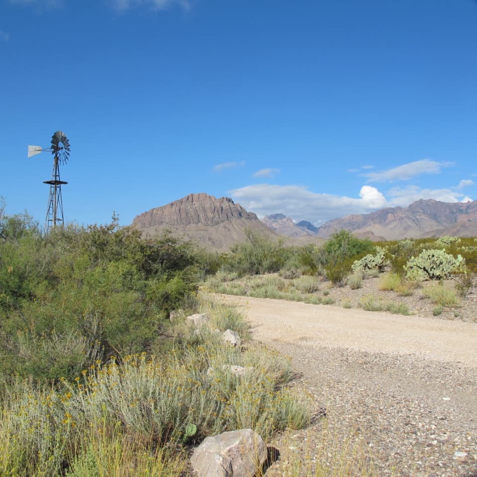 Dugout WellsA shady desert oasis with a short loop through Chihuahuan plants.
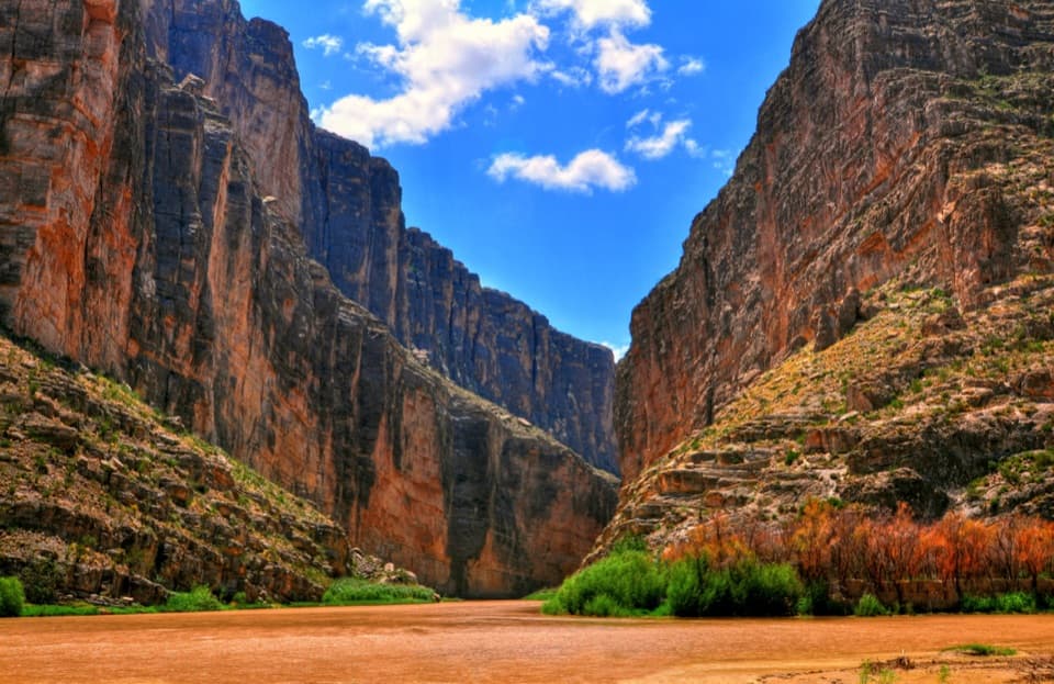 21Santa Elena Canyon OverlookA low river-level view into an 8-mile canyon.
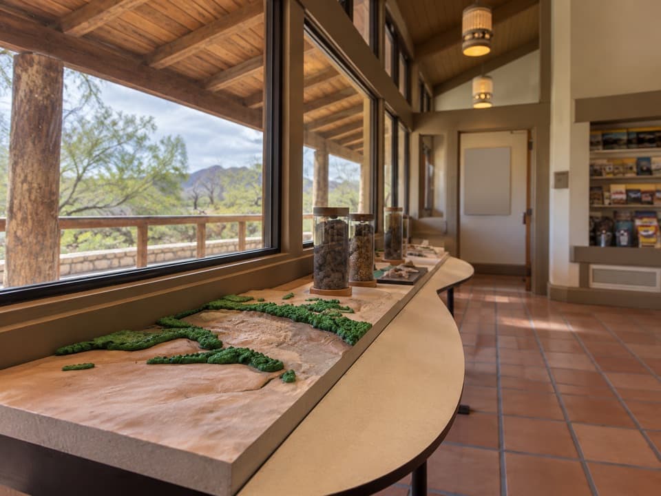 Rio Grande Village Visitor CenterA useful ranger stop with a raised map of the Rio Grande.
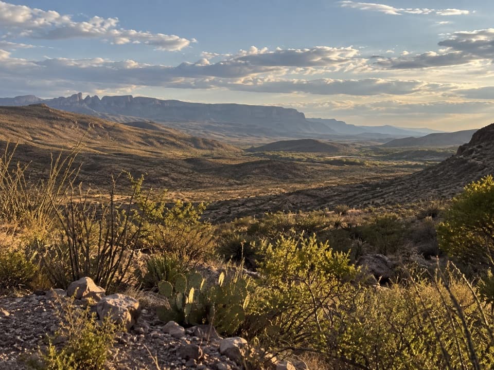 22Rio Grande OverlookA short climb to Sierra del Carmen and Dead Man’s Curve.
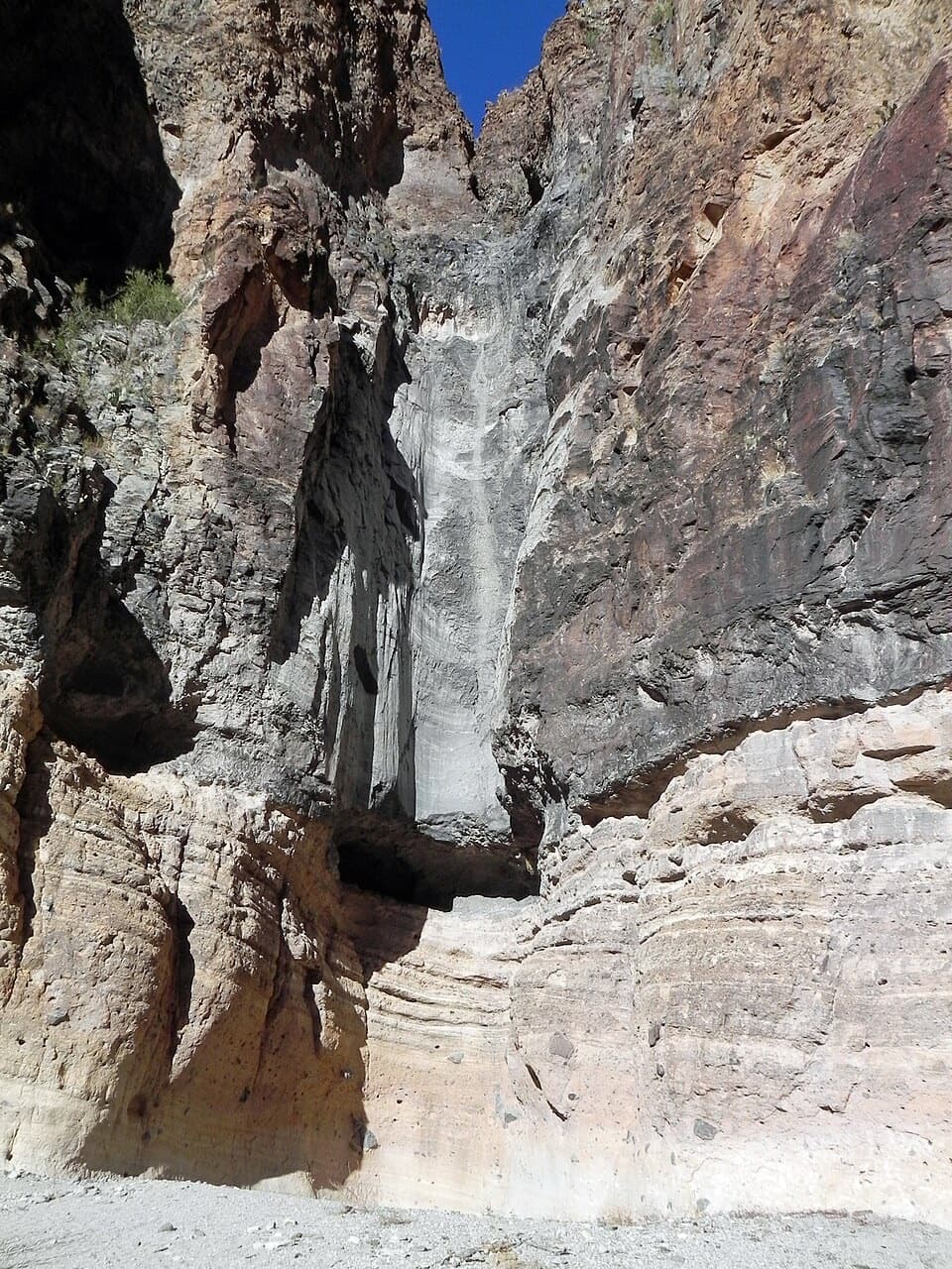 23Lower Burro Mesa PouroffA short wash hike ends beneath a 100-foot rock pouroff.
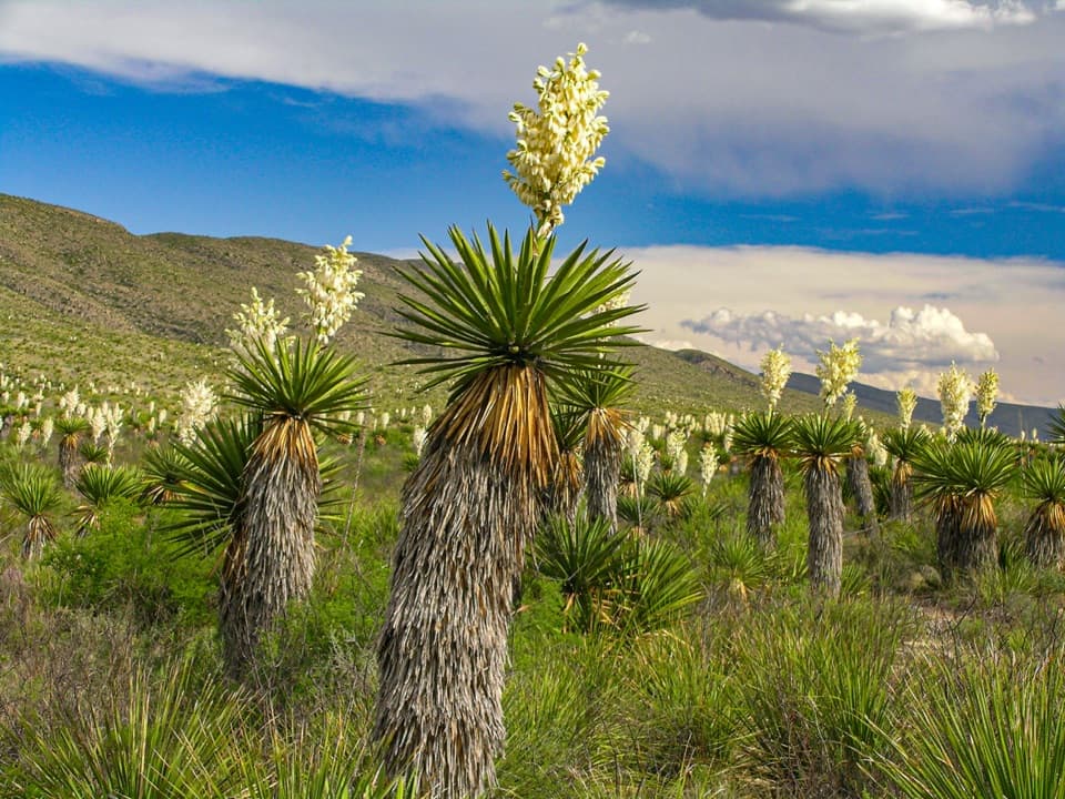 24Dagger Flat Yucca ForestTowering dagger yuccas make the long dirt-road detour count.
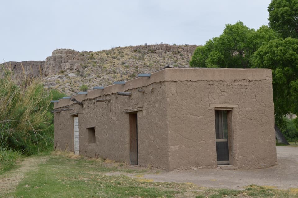 Daniels RanchA shaded picnic stop beside a surviving adobe farmhouse.
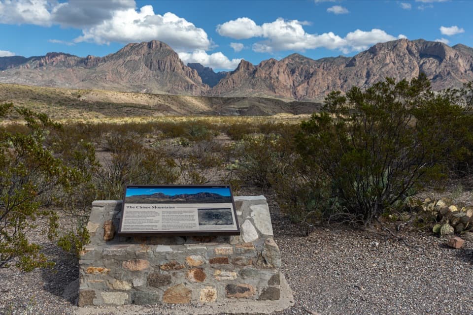 25Chisos Mountains ExhibitA roadside geology lesson with the Chisos range as its backdrop.
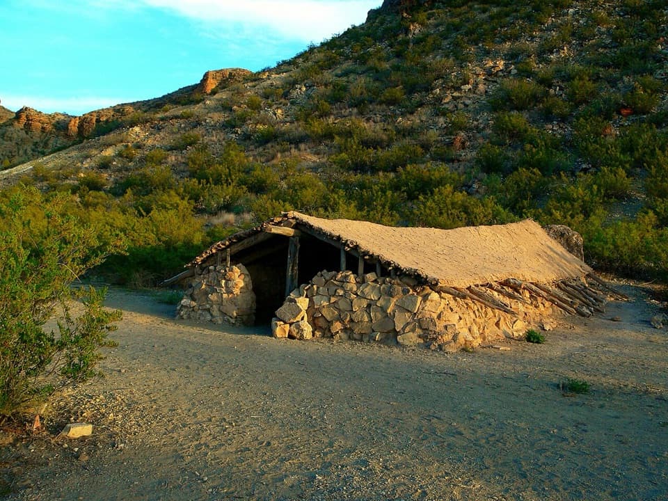 26Luna's JacalA low stone jacal with an earth-and-ocotillo roof.
 27Goat Mountain Observation PointRead the volcanic story with the mountain in view.
 28Fins of FireStone walls from ancient magma, right beside the scenic drive.
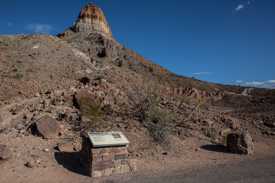 29Cerro Castellan ExhibitA roadside geology lesson framed by a steep volcanic peak.
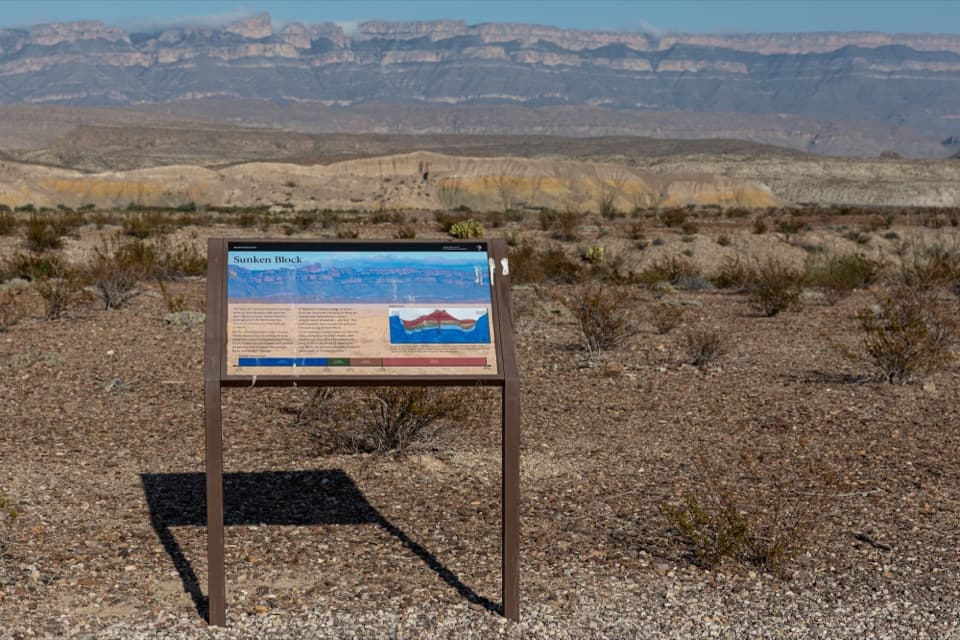 30Sunken Block ExhibitA roadside geology stop that makes Big Bend's sunken basin click.
 Castolon Visitor CenterHistoric adobe, ranger advice, and a wide view over the Rio Grande.
 31Dorgan-Sublett Historic SiteA Rio Grande farm with a petrified-wood fireplace worth seeing.
 Starlight Theatre Restaurant & SaloonA ghost-town movie house turns dinner into a live-music evening.
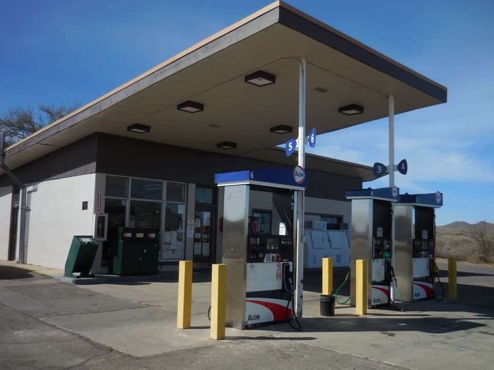 Panther Junction Service StationA 1958 Mission 66 station still serving a remote park.
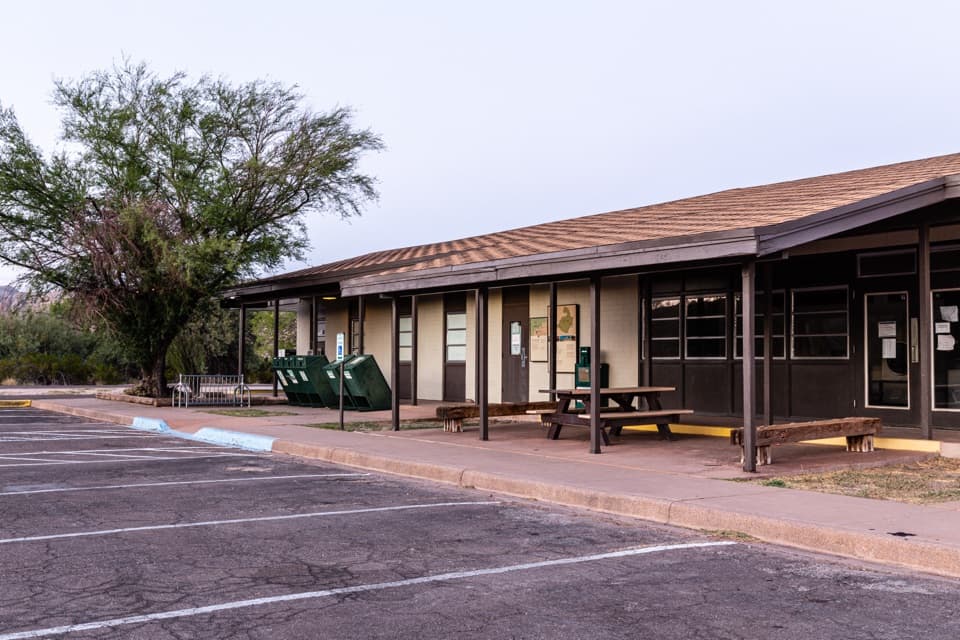 Rio Grande Village StoreThe east-side stop for fuel, showers, and camp supplies.
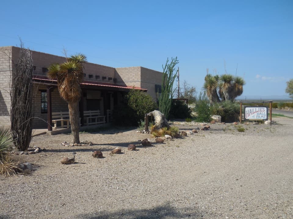 32Stillwell Store and Hallie Stillwell Hall of Fame MuseumA remote northern stop for supplies and Hallie Stillwell’s museum.
 Chisos Basin StoreCold drinks and camp basics, without a detour from the Basin.
 La Harmonita StoreCold drinks and practical supplies along the remote west side.
 Chisos Basin CampgroundHigh-country camping for hikers; road and site size favor smaller rigs.Persimmon Gap Visitor CenterGet your bearings beside the park’s oldest exposed rocks.
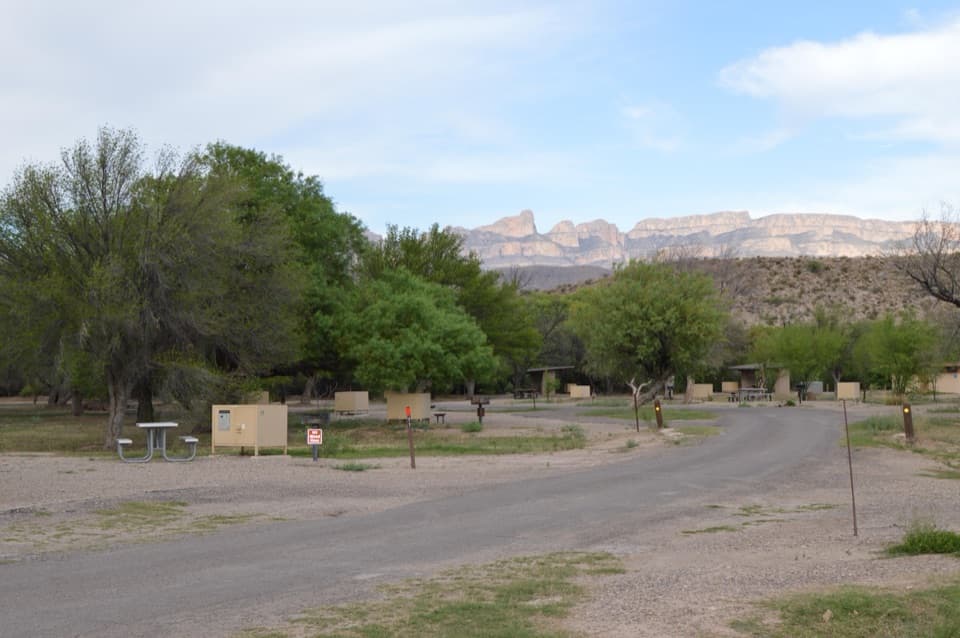 Rio Grande Village CampgroundCamp under cottonwoods, then walk the spring-fed wetland trail.
 33Glenn Spring Historic SiteA spring, a wax camp, and a violent night in 1916.
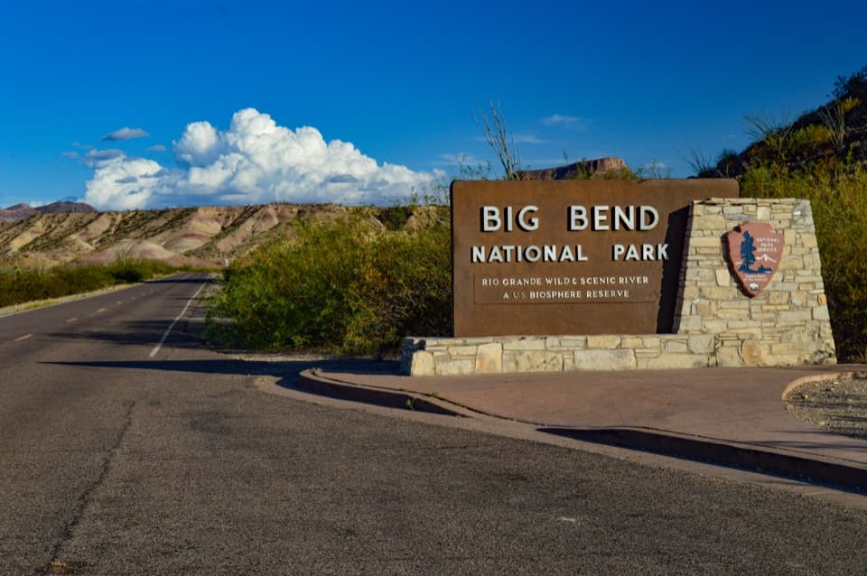 34Maverick Entrance SignThe classic entrance sign, set against colorful clay hills.
 35Persimmon Gap Entrance SignA roadside arrival photo on a route used for centuries.
 Cottonwood CampgroundA quiet, dry-camping base near Santa Elena Canyon.
 36Badlands ExhibitColorful clay hills, an old floodplain, and an easy roadside stop.
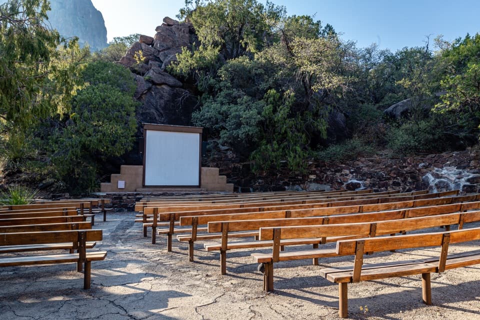 37Chisos Basin AmphitheaterRanger talks bring local stories to a stone stage outdoors.
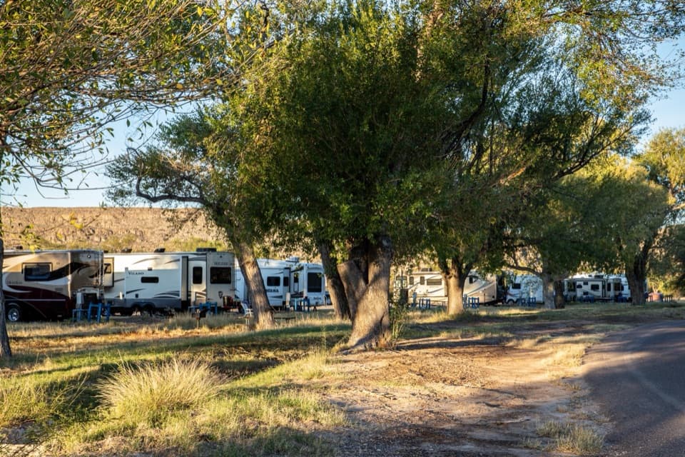 Rio Grande Village RV CampgroundThe park’s only full-hookup RV base, with a store next door.
 Maverick Entrance StationA staffed west entrance offers the park map and newspaper.
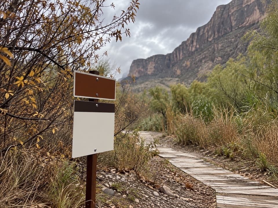 38Santa Elena Canyon River TakeoutA practical staging spot for Rio Grande paddlers.
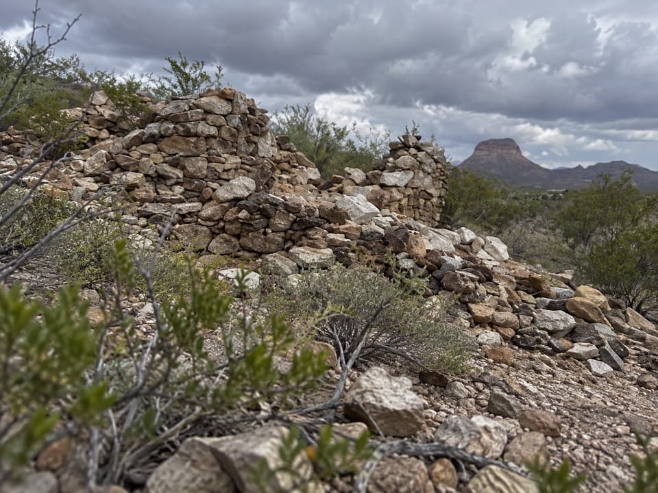 39La CoyotaRuins of a farming community that sold food to miners.
 40Nina Hannold's GravesiteA cactus-lined path leads to a pioneer family's grave.
 41Camel Experiment ExhibitA roadside sign tells a surprisingly practical camel story.
 42Tree Zone ExhibitStand under an oak where desert plants meet mountain woodland.
 43Animal Highways ExhibitA quick stop to read the dry wash as a wildlife corridor.
 44Invisible Wildlife ExhibitA quick lesson in the wildlife you might otherwise drive past.
 45Vertical Scenery ExhibitA quick exhibit links the Rio Grande, desert and Chisos habitats.

The highest, rockiest slopes around here are a summer buffet for grizzly bears.
Big Bend Tour Guide
Big Bend, narrated.
Parkwolf is a GPS audio tour guide for Big Bend National Park. As you drive, it chimes in with what’s ahead: hidden gems, upcoming stops, history, geology, and wildlife, right through your car’s speakers.
See the Big Bend audio tourRecorded for this place
Santa Elena Canyon0:00 / 0:33
“You're approaching Santa Elena Canyon, where the Rio Grande runs between limestone walls rising fifteen hundred feet. Stop for the canyon-mouth view even if you don't want a hike.”
Plays as you drive up to Santa Elena Canyon in the Parkwolf Big Bend Tour Guide.
More stories near here in the app
- Santa Elena Canyon River Takeout
- Red Dye Under White Wax
- Dorgan-Sublett Historic Site
- The Seafloor in the Cliffs
- 110 audio storiesacross Big Bend’s roads, triggered by GPS as you drive
- Wildlife heatmapsfor Black Bear, Collared Peccary, White-tailed Deer, and 13 more
- Works offlinemaps, 45 trails, 64 places, and audio download before you lose signal
- CarPlay readysimple controls built for the drive
“Fantastic app with many points of information… It’s great to just turn on while you’re driving and it gives you an audio tour of the national Park. We love it!!!!”

