
All Death Valley places
81 places
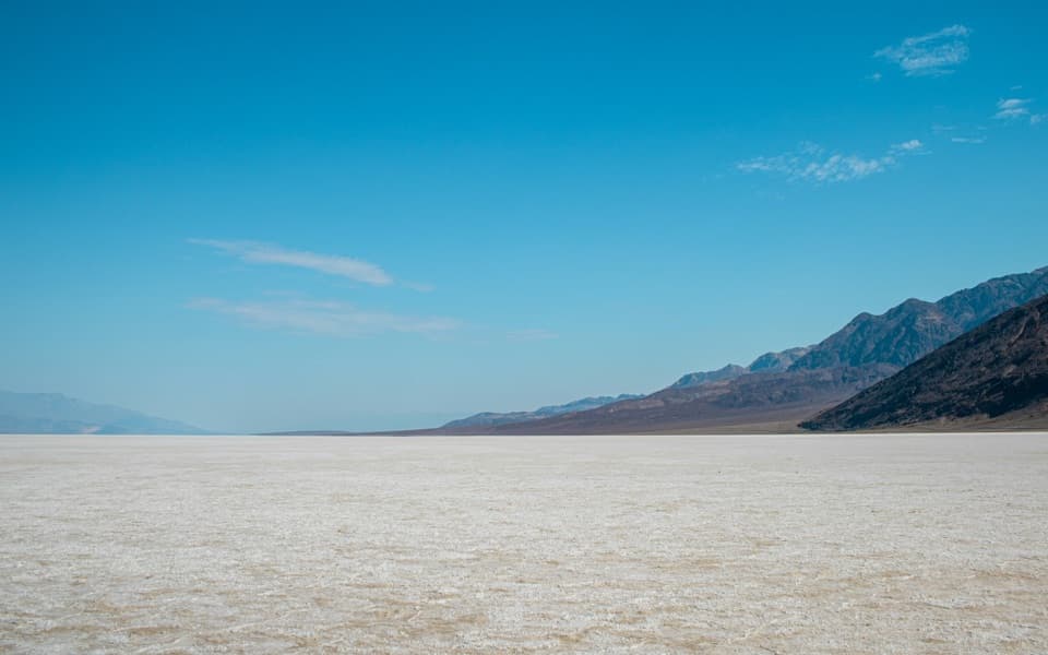 1Badwater BasinStep onto salt flats 282 feet below sea level.
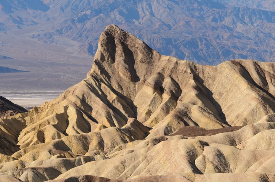 2Zabriskie PointThe short uphill walk pays off in Manly Beacon and folded badlands
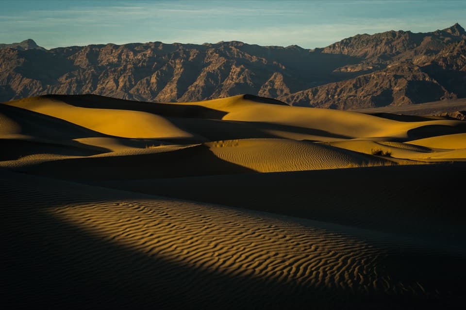 3Mesquite Flat Sand DunesClimb the dunes when low sun draws out their ripples.
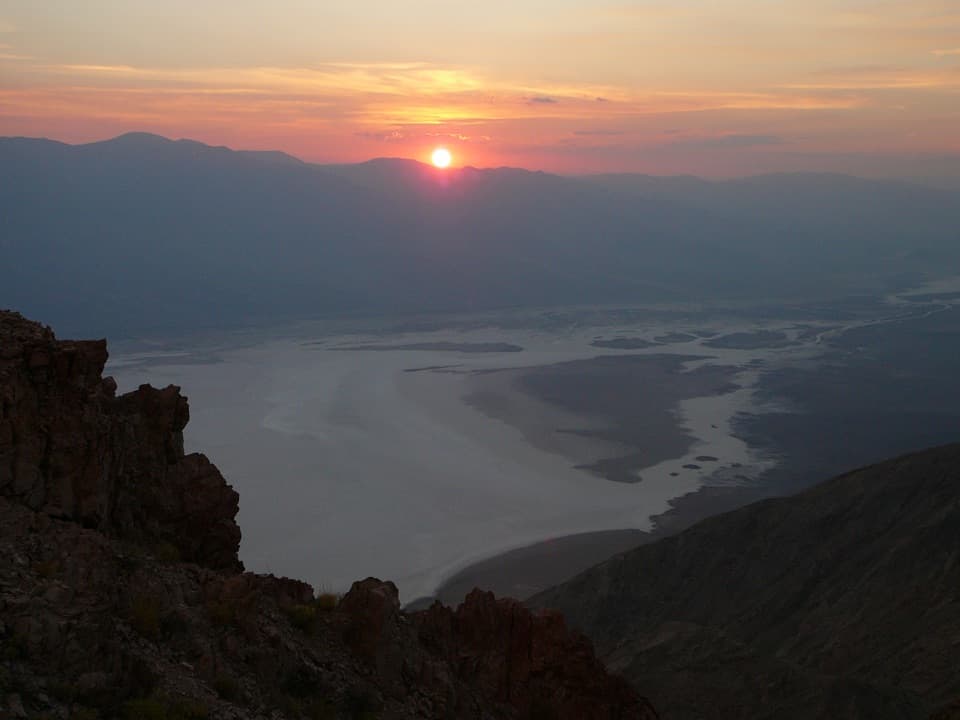 4Dantes ViewA high perch for salt flats and far-off mountain ranges.
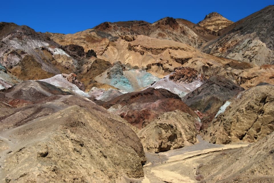 5Artists PaletteVolcanic hills shift from turquoise to ochre as the light changes.
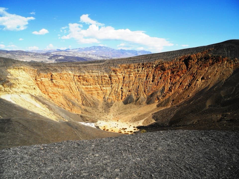 6Ubehebe CraterA half-mile crater blasted open by underground steam.
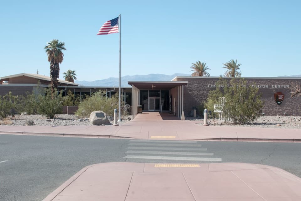 Furnace Creek Visitor CenterGet ranger advice, then meet life-size bighorn sheep models.
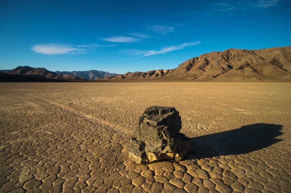 7Racetrack PlayaFollow a stone’s long track across a vast dry lakebed
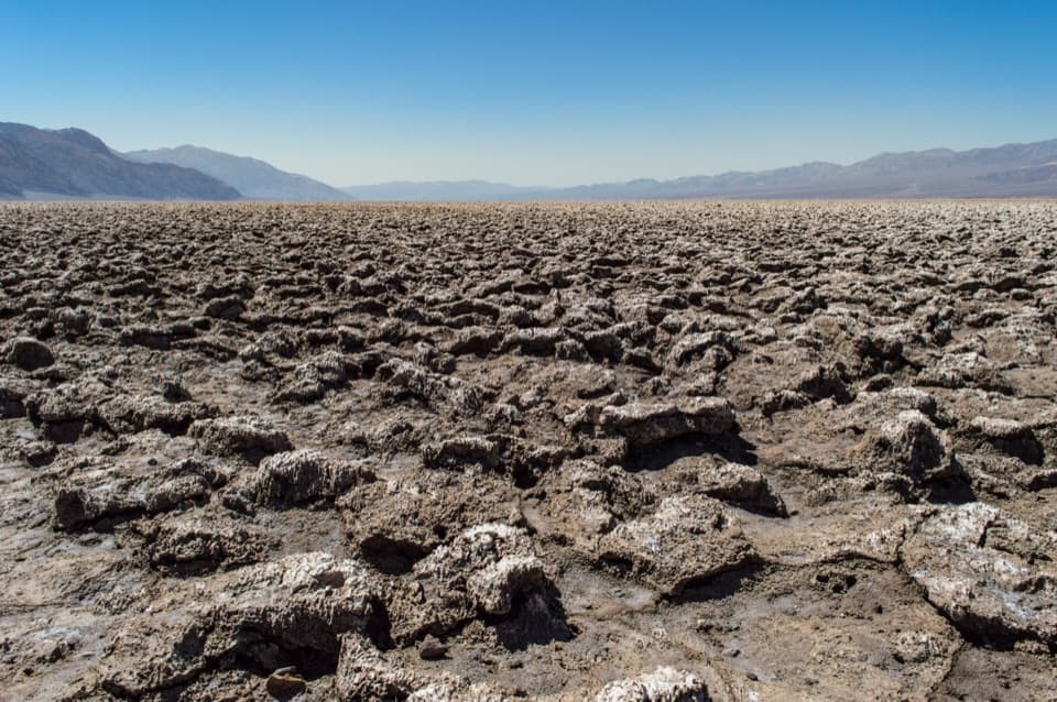 8Devils Golf CourseA vast salt pan sculpted into a field of jagged spires.
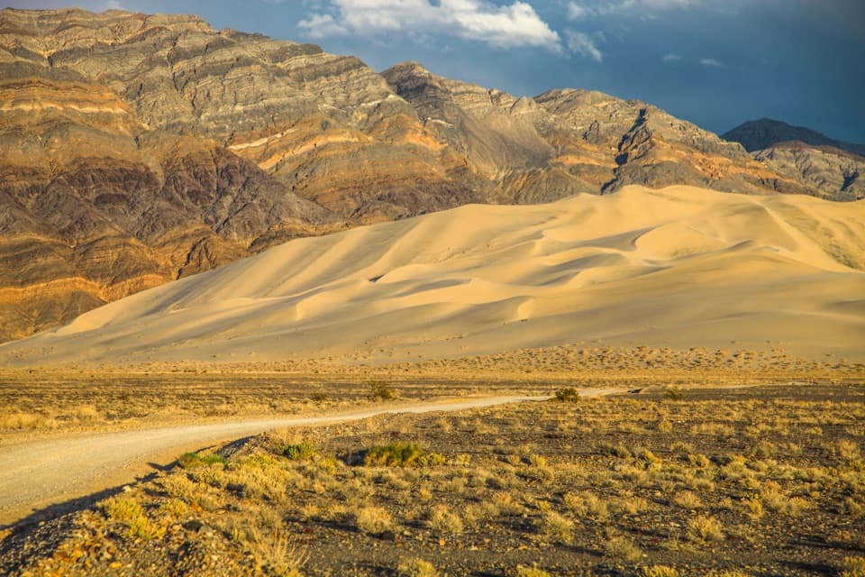 9Eureka DunesA 680-foot sand mountain that may sing under the right conditions.
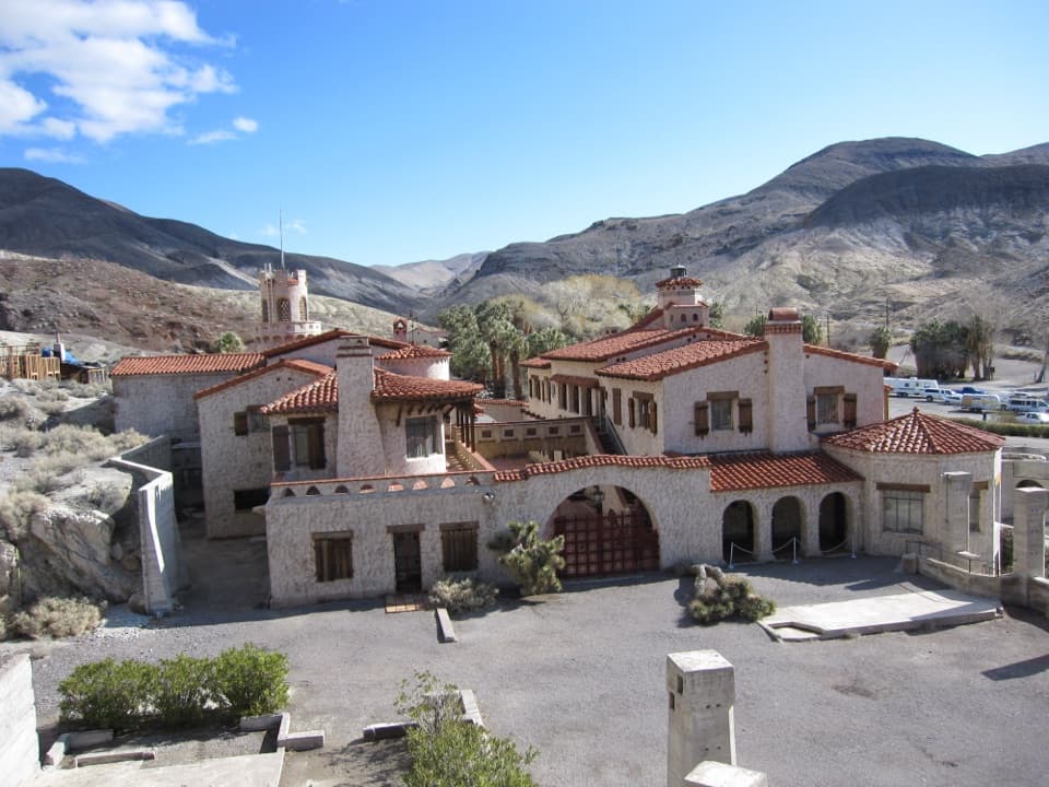 10Scotty’s CastleA desert mansion built on a gold-mine story that wasn't true.
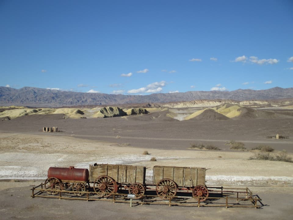 11Harmony Borax WorksA short loop brings the 20-Mule Team story down to earth.
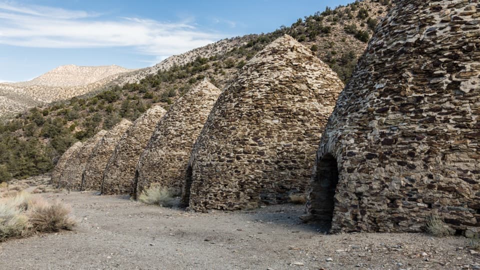 12Wildrose Charcoal KilnsTen beehive kilns show how remote mining found its fuel.
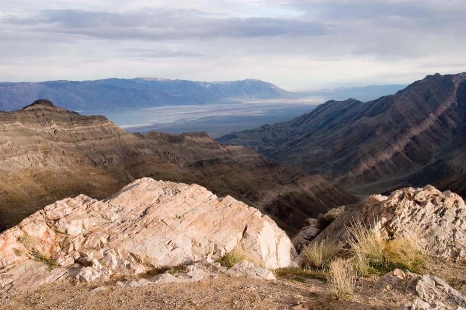 13Aguereberry PointA long, rough drive opens a west-side panorama of Death Valley.
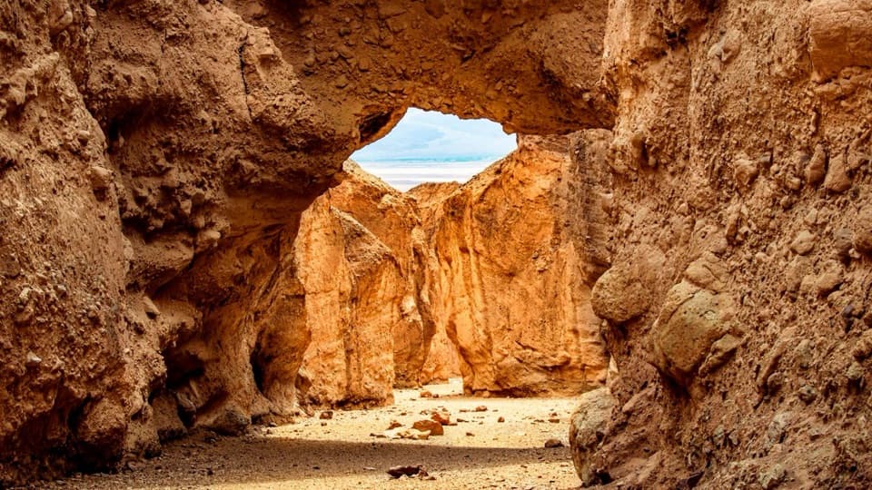 14Natural BridgeWalk beneath a jagged, 35-foot-high rock bridge.
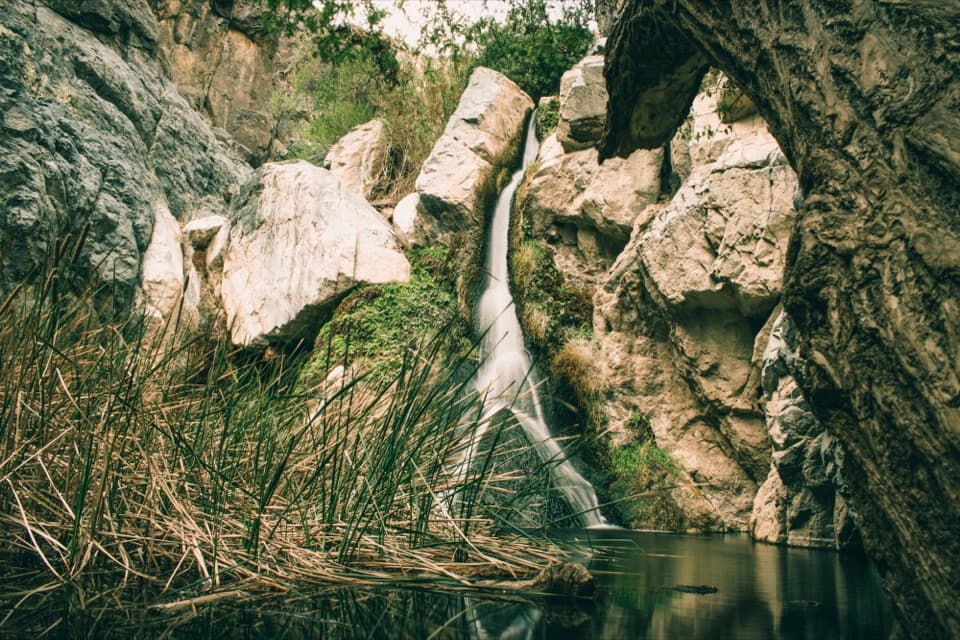 15Darwin FallsA year-round waterfall and green pocket in a Death Valley canyon.
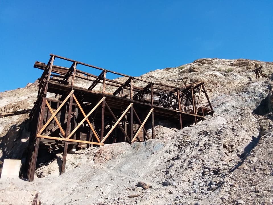 16Keane Wonder MineGold-mine ruins linked to their mill by a mile-long aerial tramway.
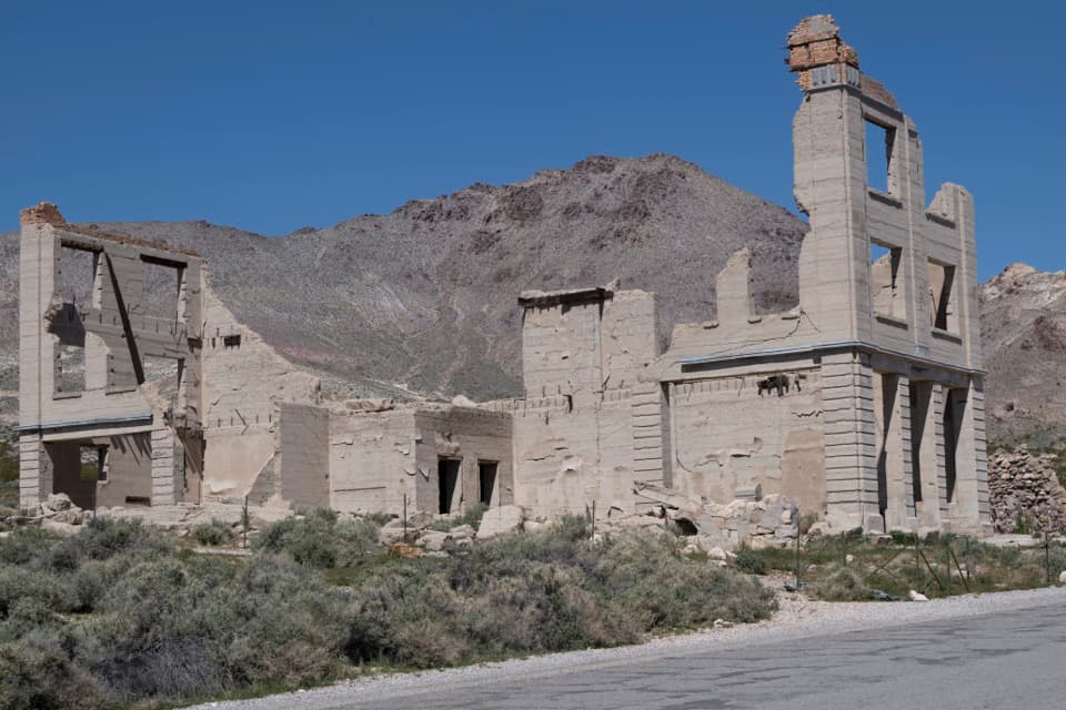 17Rhyolite Ghost TownCook Bank ruins and a bottle house from a Nevada boomtown.
 18Devils HoleA tiny fish's only home, viewed from a fenced platform.
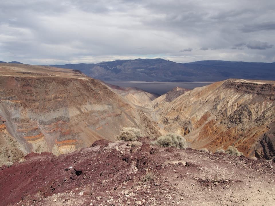 19Father Crowley Vista Point- Rainbow CanyonThe quarter-mile spur opens up the colored canyon and valley.
 20Amargosa Opera House and HotelMarta Becket turned a borax town hall into her painted theater.
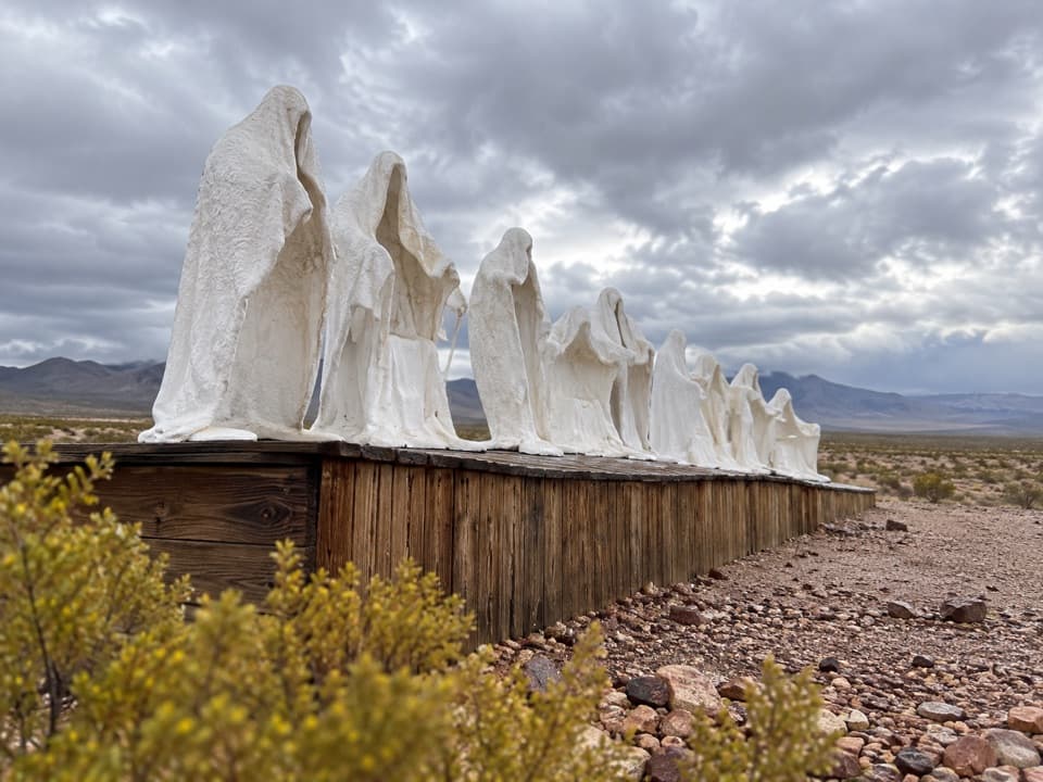 21Goldwell Open Air MuseumA strange desert sculpture park next to Rhyolite’s ghost town.
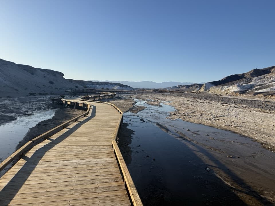 22Salt CreekSee tiny pupfish on a short desert boardwalk.
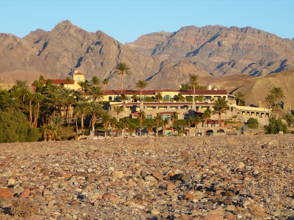 The Inn at Death ValleyA spring-fed pool and palm garden in a historic desert hotel.
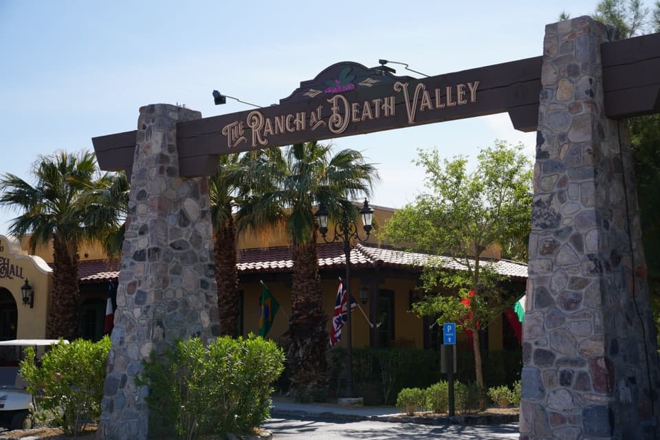 The Ranch at Death ValleyA Furnace Creek resort with food, fuel, golf, and a spring-fed pool.
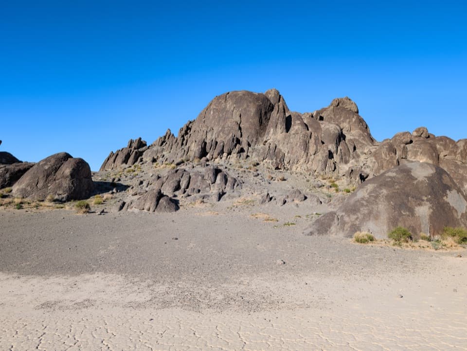 23The GrandstandA dark rock island rising from Racetrack Playa’s pale lakebed.
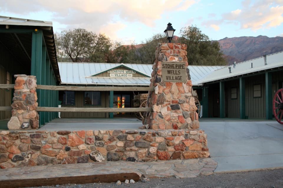 Stovepipe Wells VillageA practical stop to refuel, eat and stay near the dunes.
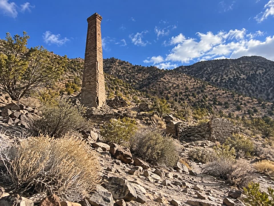 24Panamint CityThe surviving mill chimney marks the end of a long canyon hike
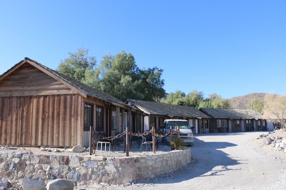 Panamint Springs ResortAn overnight base with food and fuel on CA-190.
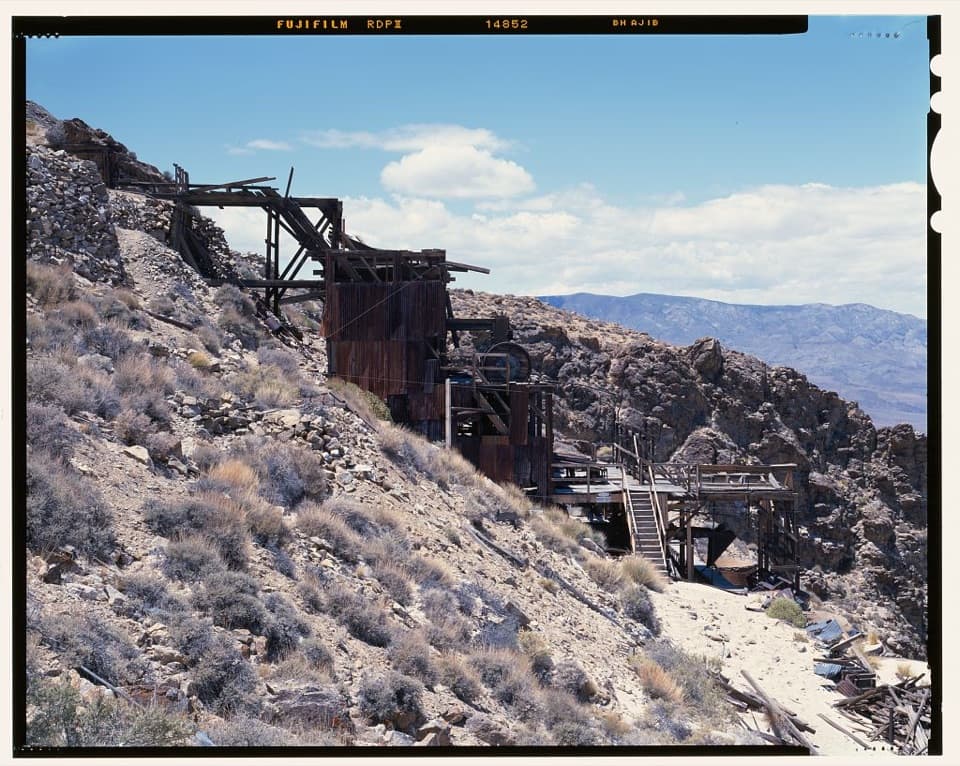 25Skidoo MillA surviving stamp mill waits beyond Skidoo's empty townsite.
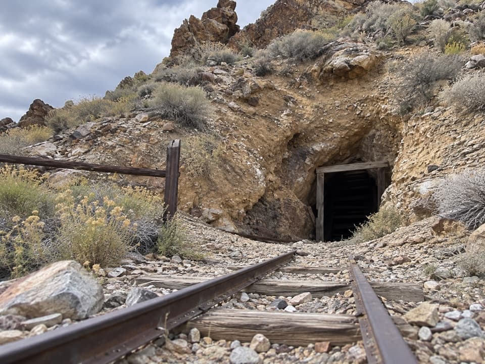 26Harrisburg and Eureka MineA two-room cabin tells Pete Aguereberry’s gold-mining story.
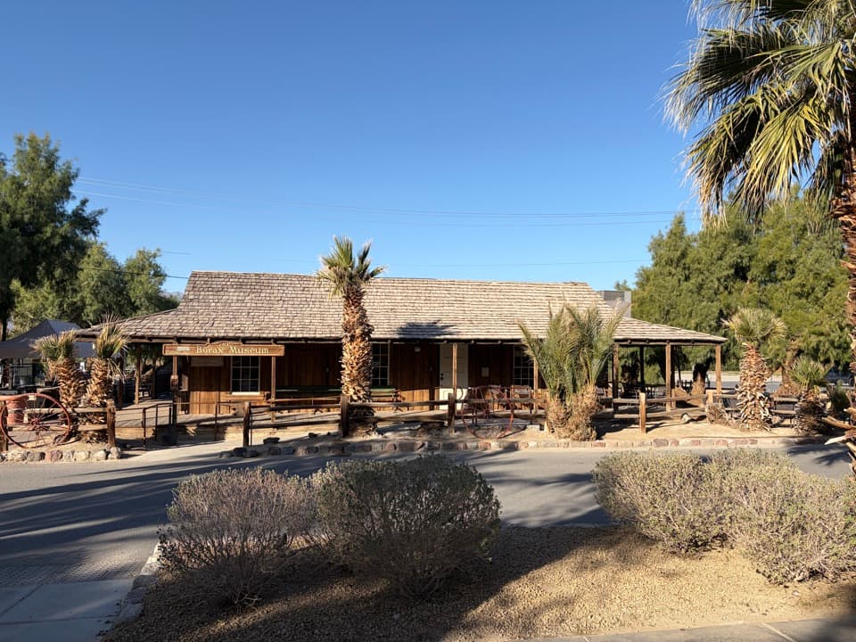 27Borax MuseumOld wagons make the 20-mule borax haul tangible.
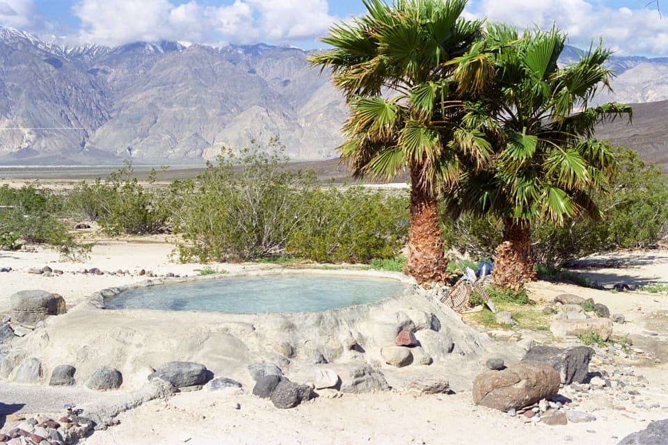 Saline Valley Warm Springs and CampgroundRemote hot springs and camping reached by a demanding dirt road.
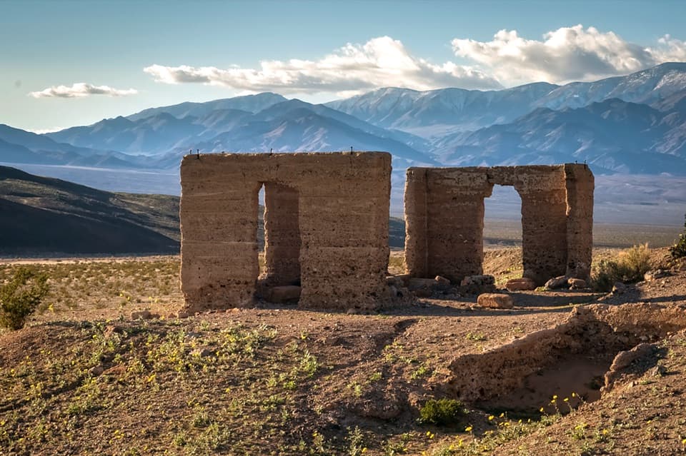 28Ashford Mill SiteA 40-ton gold mill left ruins and a sharp mining story.
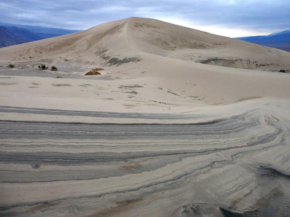 29Panamint DunesA remote, star-shaped dune field reached by a cross-country hike.
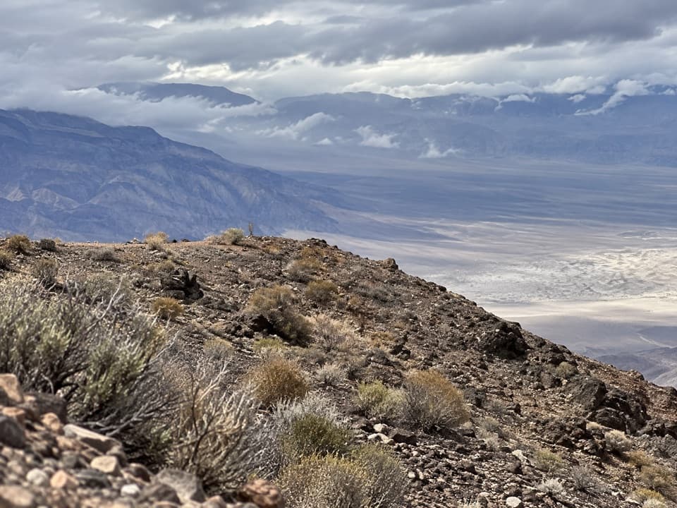 30Chloride CliffA remote peak with a huge view across Death Valley.
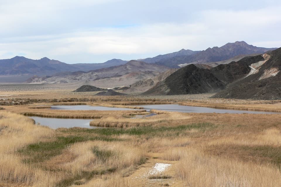 31Saratoga SpringThree spring-fed ponds make a wetland in Death Valley’s dry south.
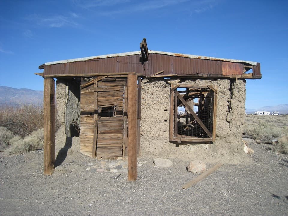 32Ballarat Ghost TownSee what’s left of a gold rush supply town below the Panamints.
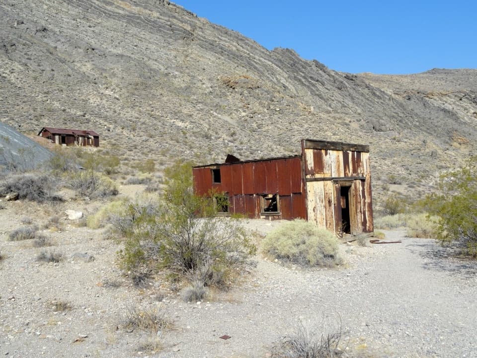 33Leadfield Ghost TownA mining boom left corrugated buildings, a dugout, and mill foundations.
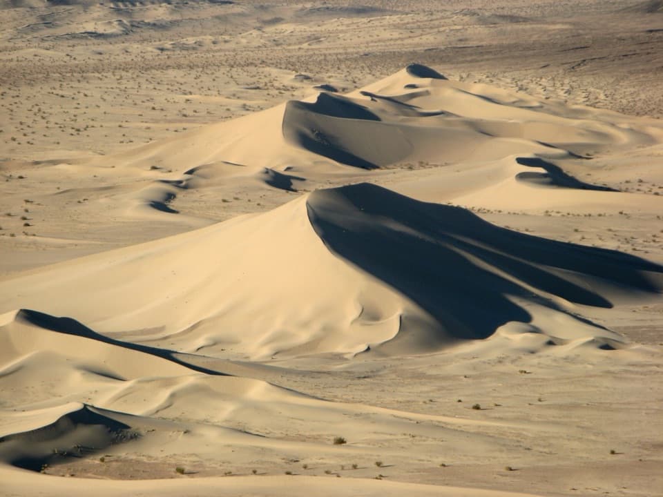 34Ibex DunesA remote mile walk reaches 30-meter star dunes.
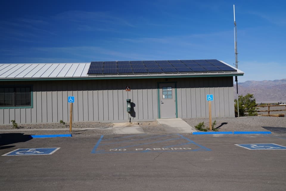 Stovepipe Wells Ranger StationA ranger contact stop on the CA-190 drive.
 35Barker RanchRemote ranch ruins for a serious trip into Death Valley’s backcountry.
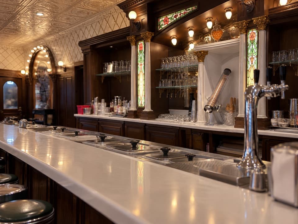 Ice Cream ParlorDate shakes in a retro soda fountain with a small grill menu.
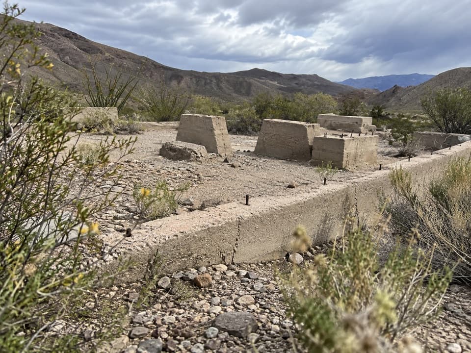 36Journigan’s MillA quick roadside look at a 1930s gold mill’s remains.
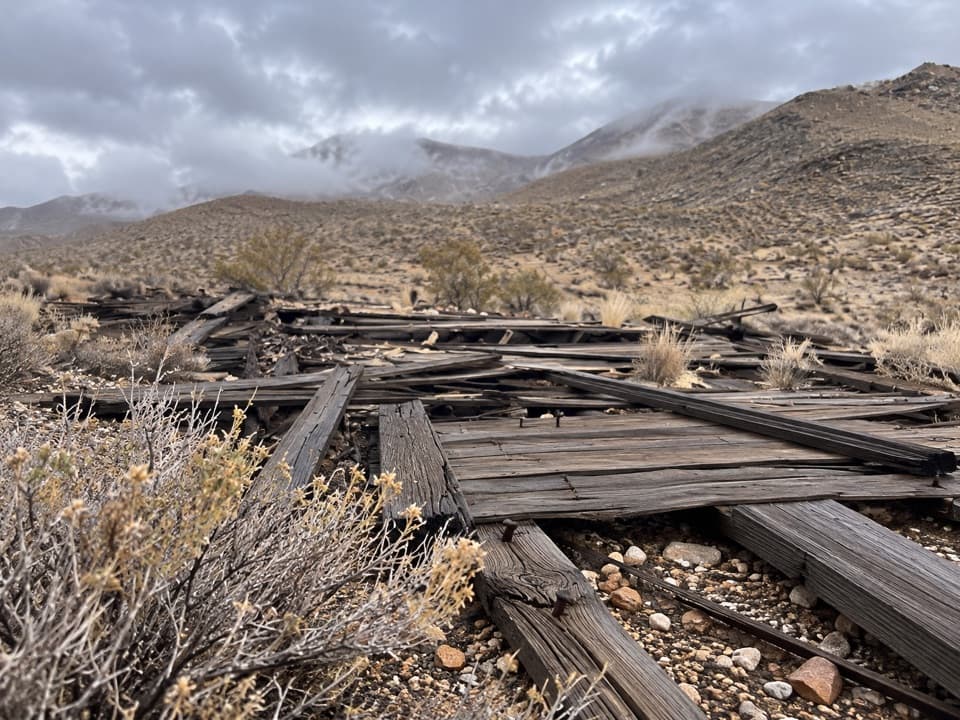 37Chloride CityA rough 4WD trip to a short-lived, scattered mining townsite.
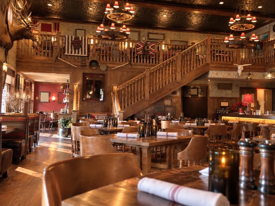 The Last Kind Words SaloonA two-level saloon dining room gives dinner a distinctly western feel.
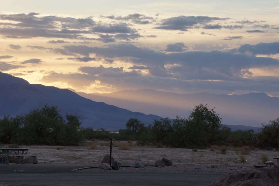 Furnace Creek CampgroundA low desert base with 136 sites and some RV hookups.
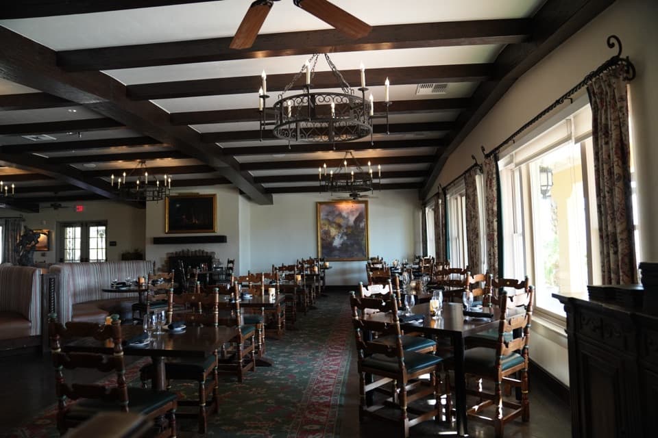 The Inn Dining RoomAn upscale meal with salt-pan views from the Inn Terrace.
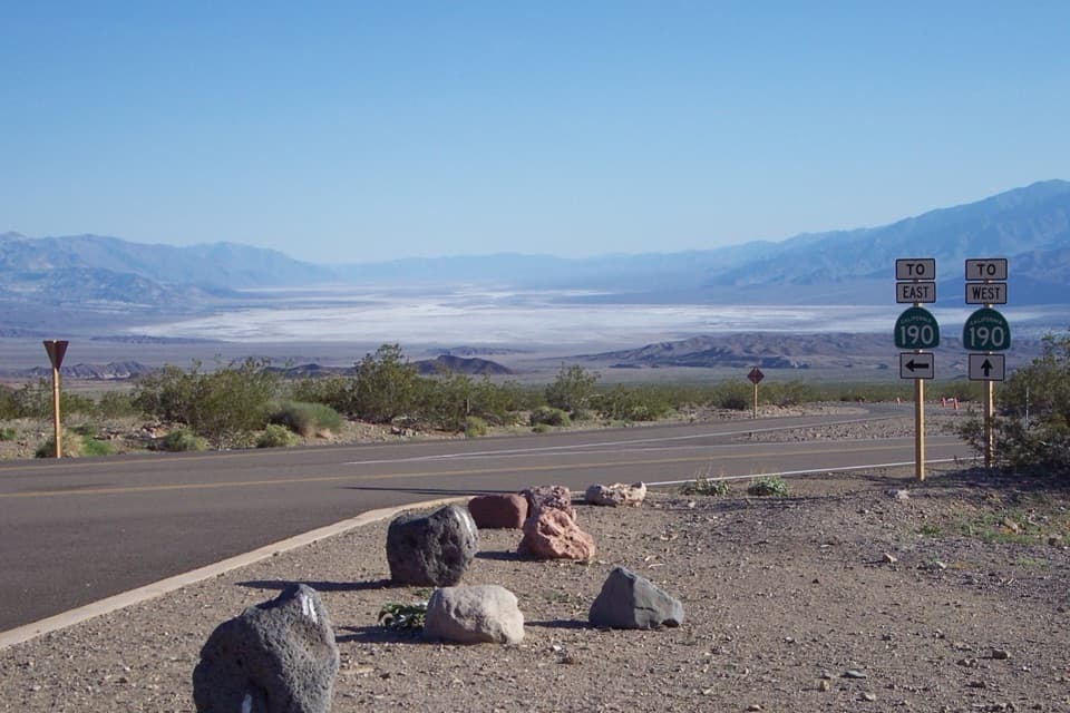 38Hell's GateThe valley opens wide on the drive down from Beatty.
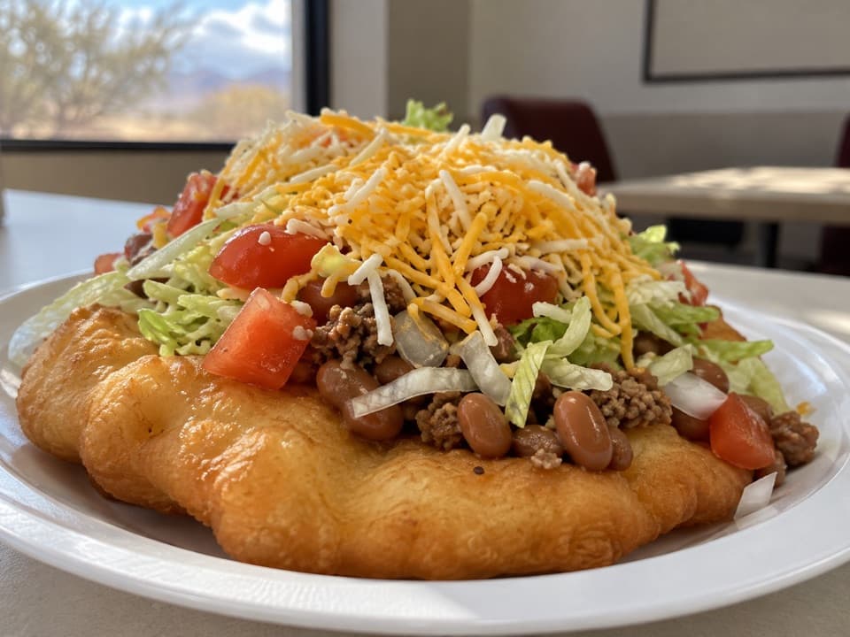 Timbisha TacosA Furnace Creek food stop known for fry-bread tacos and shaved ice.
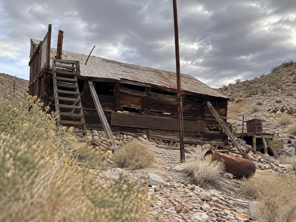 39Lost Burro MineA remote gold mine with a timber mill perched above its cabin.
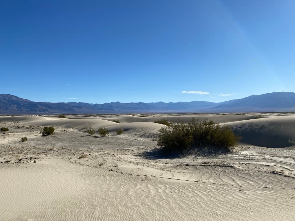 40Saline Valley DunesLow ripples at the salt-flat edge, with the Inyos towering above.
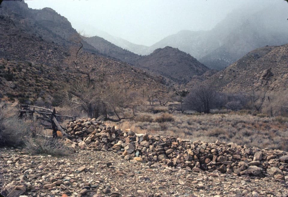 41Hungry Bill’s RanchStone terraces and an old orchard reward a rough backcountry hike.
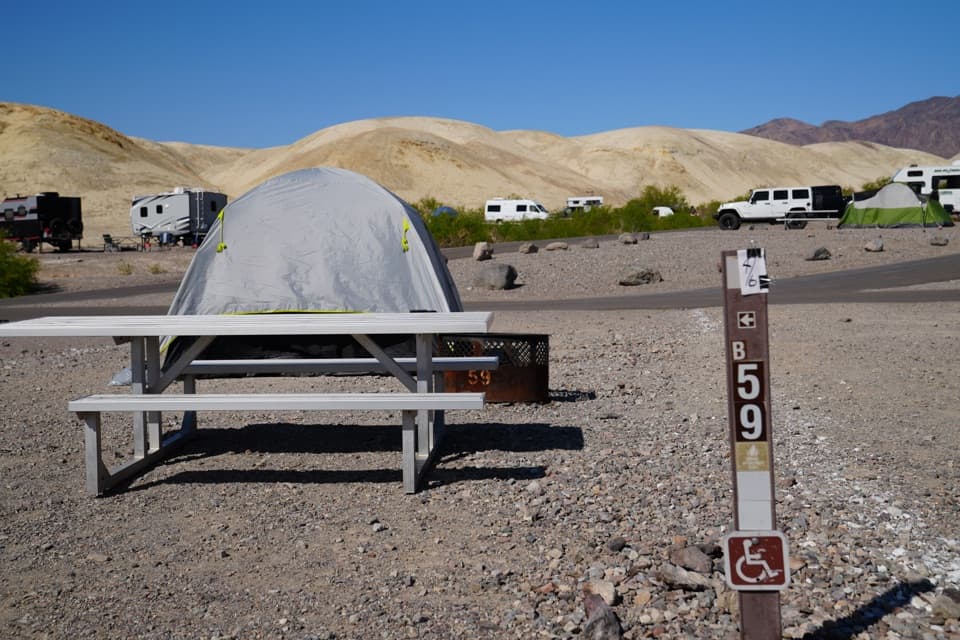 Texas Springs CampgroundCamp above Furnace Creek for valley views and desert stargazing.
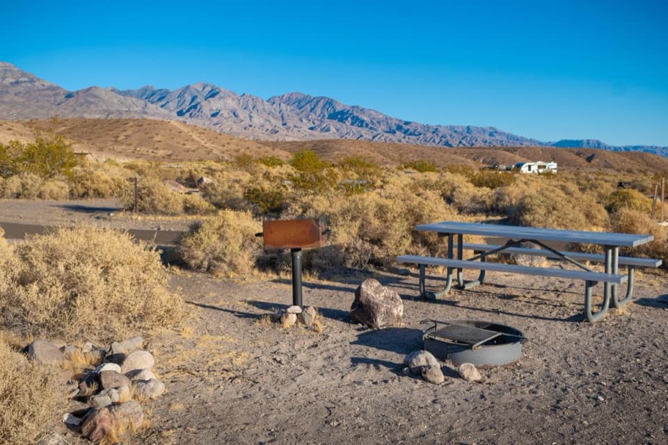 Mesquite Spring CampgroundA quiet northern base for dark skies and Ubehebe Crater.
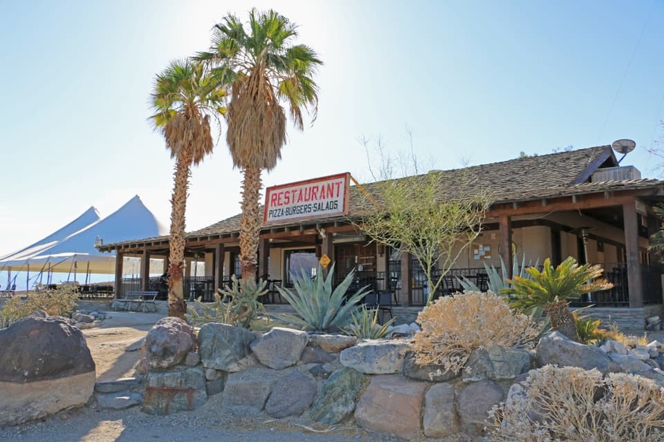 Panamint Springs RestaurantA useful sit-down break on the park’s long western drive.
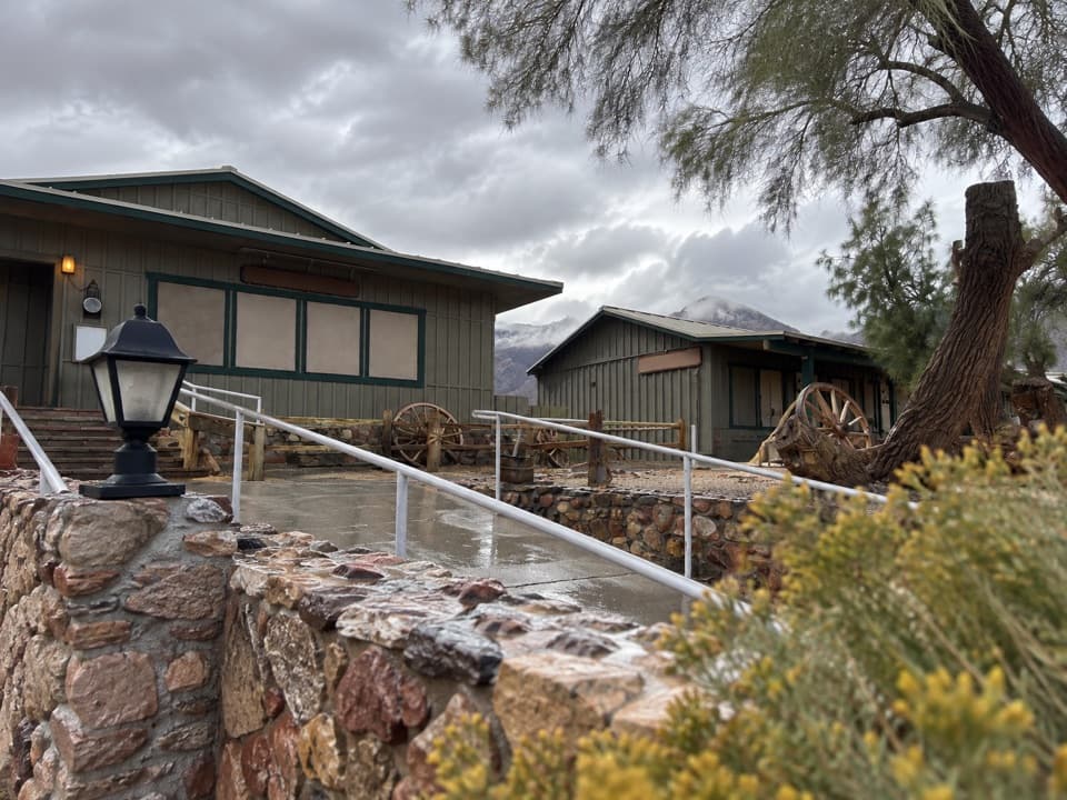 Toll Road RestaurantA sit-down meal stop on CA-190 at Stovepipe Wells.
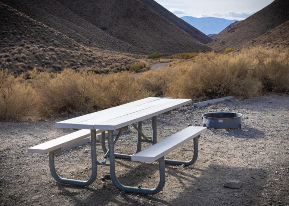 Wildrose CampgroundA no-frills, dark-sky base camp in the Panamint Mountains.
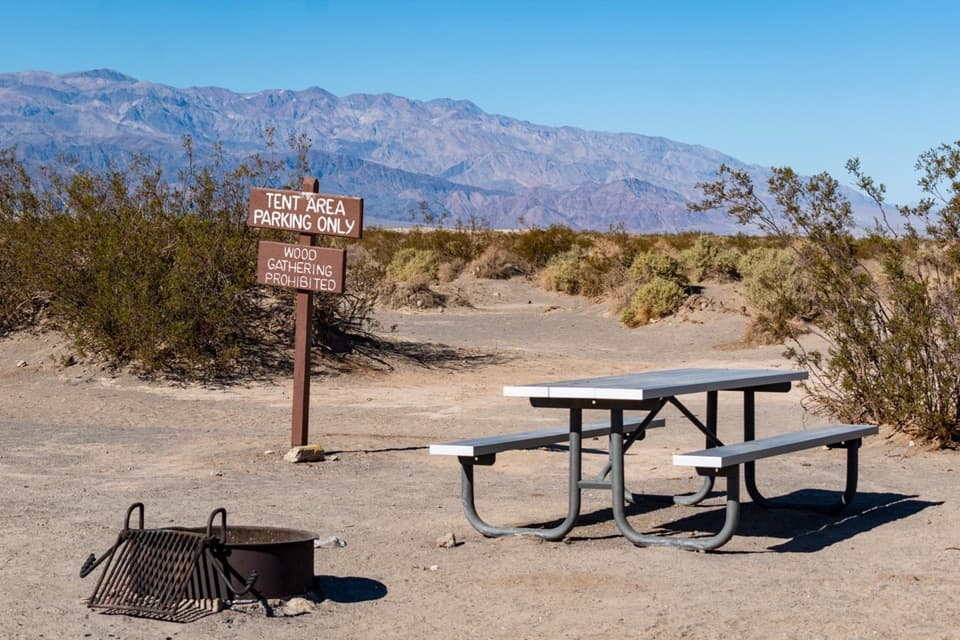 Stovepipe Wells CampgroundA gravel base for dune walks, canyons, and starry nights.
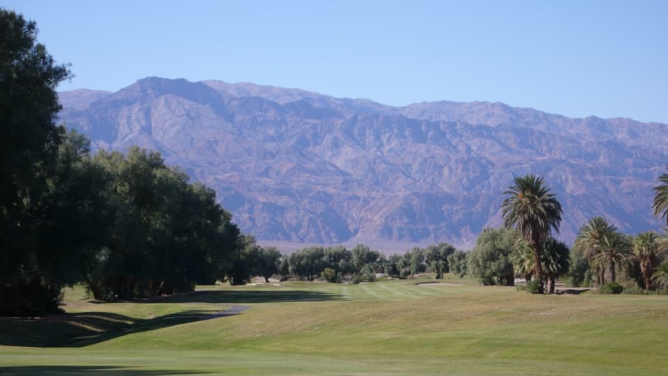 42Furnace Creek Golf CourseA full round 214 feet below sea level.
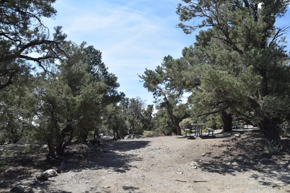 Mahogany Flat CampgroundA high-country base camp below Telescope Peak.
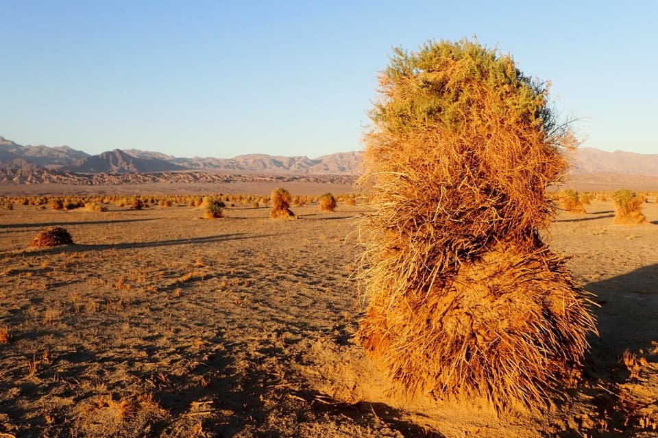 43Devil's CornfieldA brief roadside look at Death Valley's corn-like arrowweed clumps.
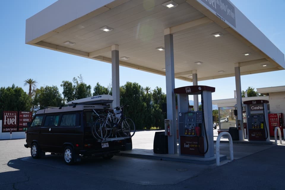 Furnace Creek Gas StationThe practical refuel stop before Death Valley’s remote roads.
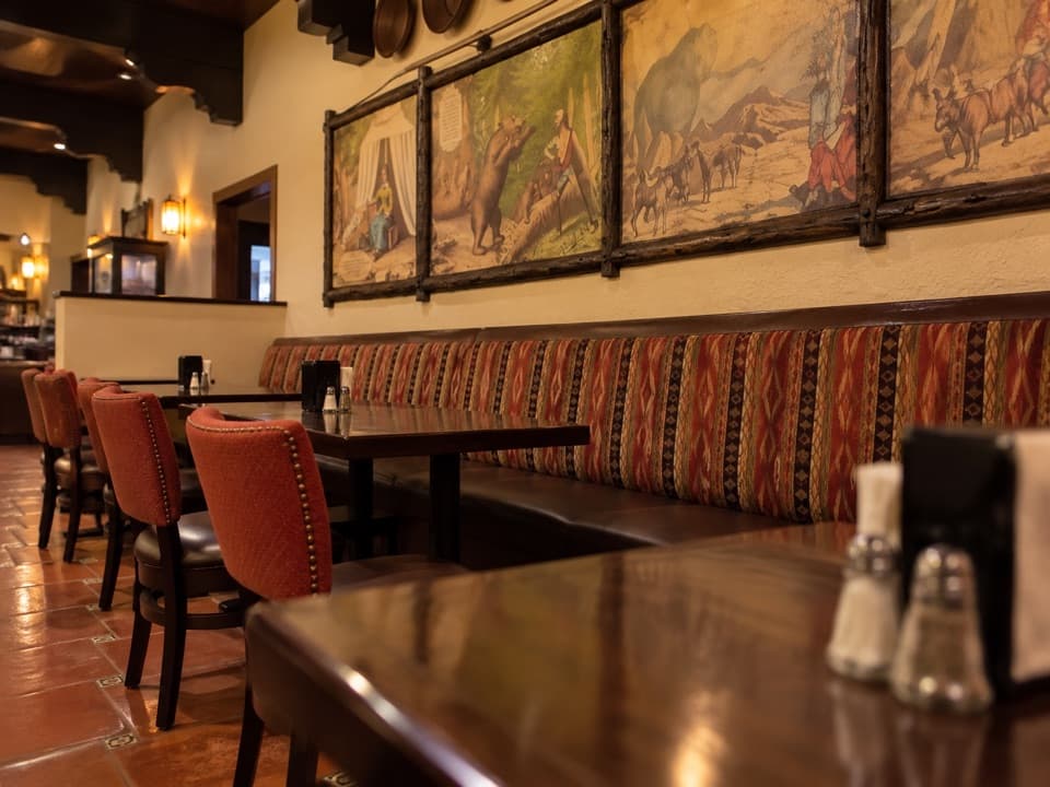 1849 RestaurantAn easy buffet stop in Furnace Creek
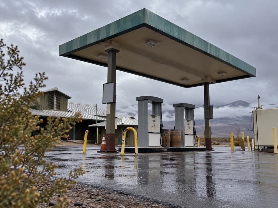 Stovepipe Wells Gas StationA useful refueling stop where the next station is far away.
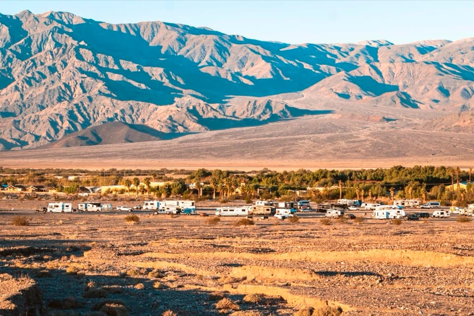 Sunset CampgroundA practical gravel base for RVs and Furnace Creek park days.
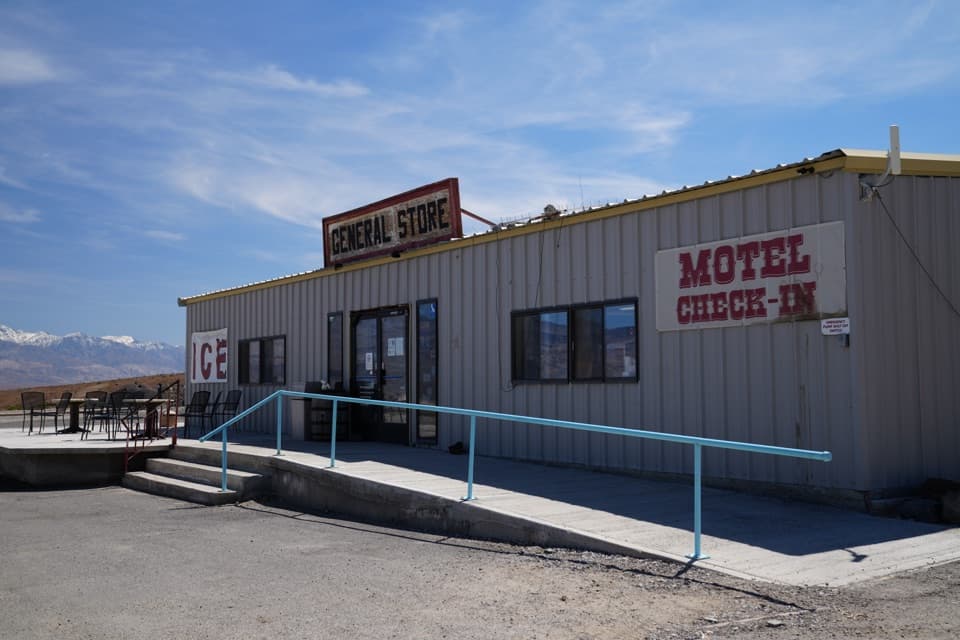 Panamint Springs Gas StationFuel and useful travel supplies on a remote park crossing.
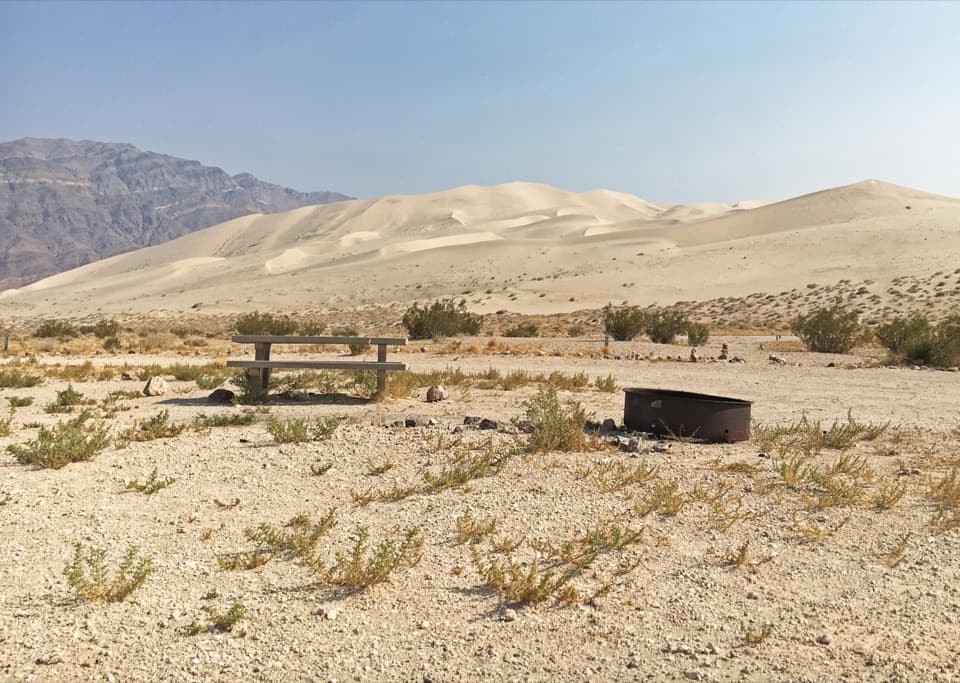 Eureka Dunes CampgroundA remote dry camp beneath California’s tallest dunes.
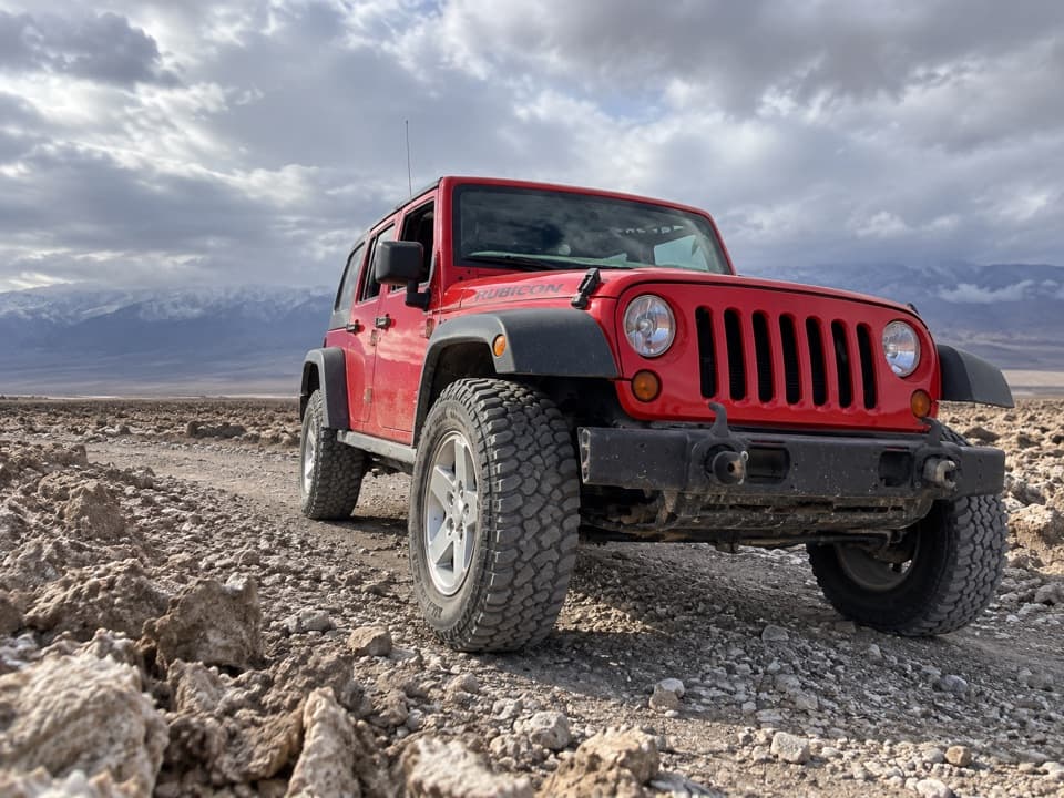 Farabee’s Jeep RentalsA Jeep and route advice open the park’s dirt-road backcountry.
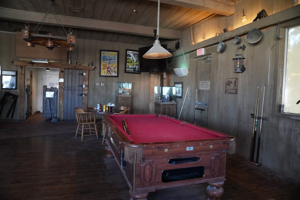 Badwater SaloonA full bar and a sit-down meal at Stovepipe Wells.
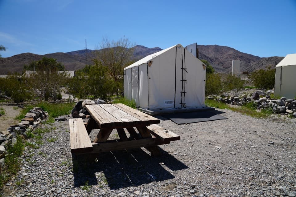 Panamint Springs Campground and RV ParkCamp among desert mountains with food, fuel, and supplies nearby.
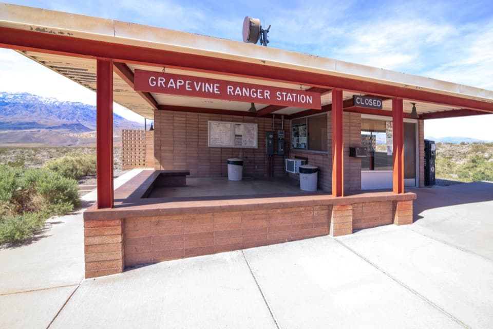 Grapevine Ranger StationA quick park-guide stop before Ubehebe Crater.
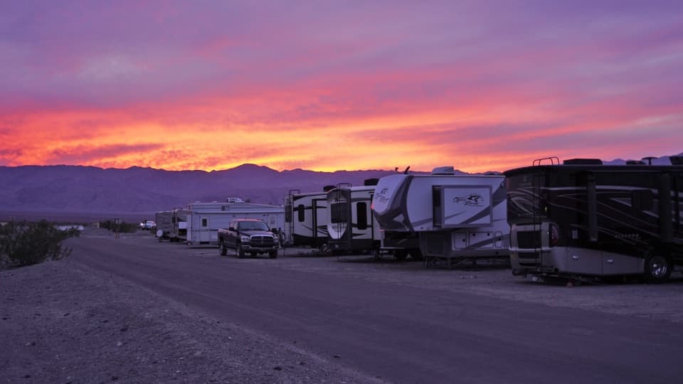 Stovepipe Wells RV ParkA 14-site full-hookup RV park with village pool access.
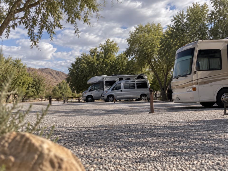 Fiddlers’ RV ParkAn RV base near the Ranch pool, no hookups or dump station.
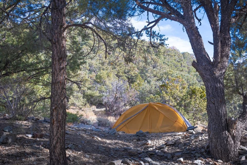 Thorndike CampgroundPine shade at 7,400 feet, up a steep, rough mountain road.
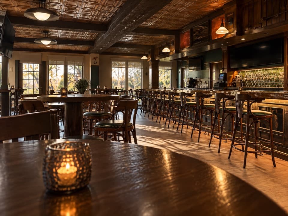 Wild Rose TavernA seasonal tavern with golf-course views and draft beer.
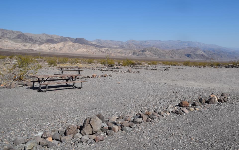 Emigrant CampgroundTen tent sites, wide skies, and rocky ground that fights weak stakes.
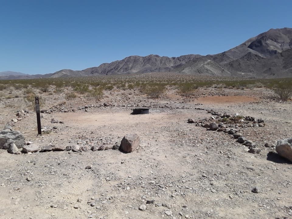 Homestake CampgroundStay near Racetrack Playa and settle under dark desert skies.
 44Marble BathA blue-marble bathtub tucked beside a remote 4WD pass.
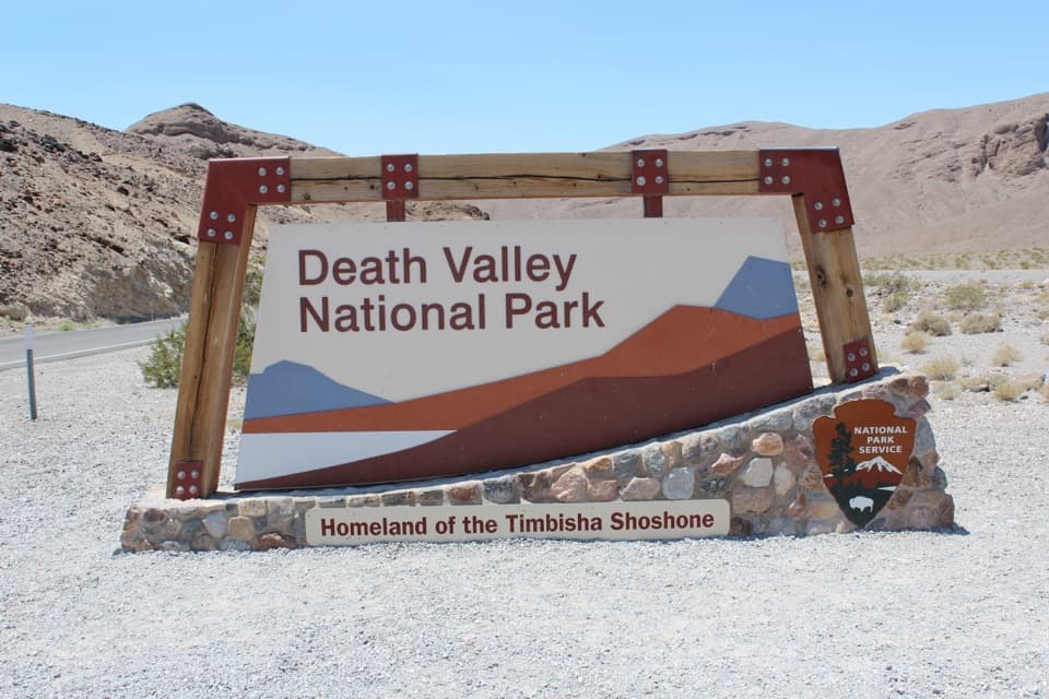 45Death Valley National Park East Entrance SignA quick entrance photo before the drive into Death Valley.
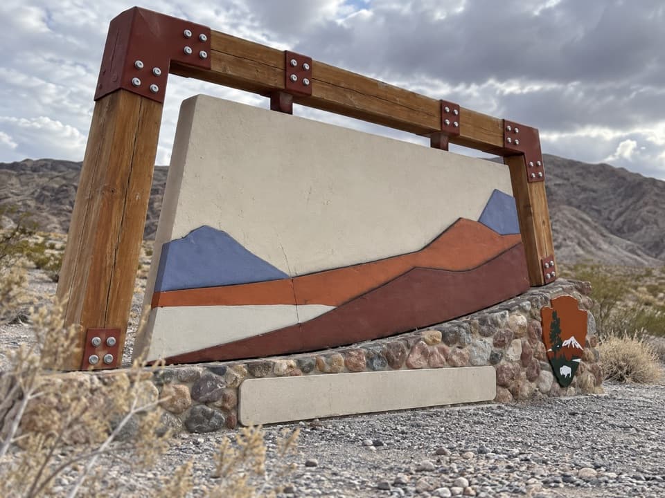 46Death Valley National Park West Entrance SignA quick arrival photo at Death Valley’s west-side entrance sign.

The highest, rockiest slopes around here are a summer buffet for grizzly bears.
Death Valley Tour Guide
Death Valley, narrated.
Parkwolf is a GPS audio tour guide for Death Valley National Park. As you drive, it chimes in with what’s ahead: hidden gems, upcoming stops, history, geology, and wildlife, right through your car’s speakers.
See the Death Valley audio tourRecorded for this place
Badwater Basin: Below Sea Level0:00 / 0:34
“You're coming up on Badwater Basin, North America's lowest point at two hundred eighty-two feet below sea level. I'd stop even if you only have time for the boardwalk beside the salty pool.”
Plays as you drive up to Badwater Basin in the Parkwolf Death Valley Tour Guide.
More stories near here in the app
- The Kangaroo Rat's Midair Kick
- The River With Gaps
- The Baby Gauge Ore Trains
- Dantes View: Above the Basin
- 228 audio storiesacross Death Valley’s roads, triggered by GPS as you drive
- Wildlife heatmapsfor Bighorn Sheep, Desert Tortoise, Coyote, and 13 more
- Works offlinemaps, 57 trails, 81 places, and audio download before you lose signal
- CarPlay readysimple controls built for the drive
“Fantastic app with many points of information… It’s great to just turn on while you’re driving and it gives you an audio tour of the national Park. We love it!!!!”

