
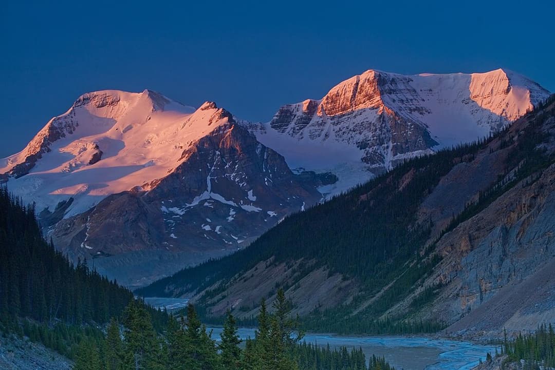
All Icefields Parkway trails
54 trails
 1Parker Ridge TrailA steady switchback climb ends with Saskatchewan Glacier in front of you.
 2Peyto Lake Lookout TrailThe lake’s turquoise outline comes into view after a short climb.
 3Wilcox PassA steep forest climb opens to wildflowers and icefield views.
 4Bow Glacier Falls TrailBow Lake’s shore opens to a steep climb beneath the glacier.
 5Helen Lake TrailA long climb opens to a high meadow beneath Dolomite Peak.
 6Path of the Glacier TrailA steady climb to Angel Glacier's high cirque viewpoint
 7Emerald Loop at the Valley of the Five LakesA boardwalk, five blue-green lakes, and rocky little rises.
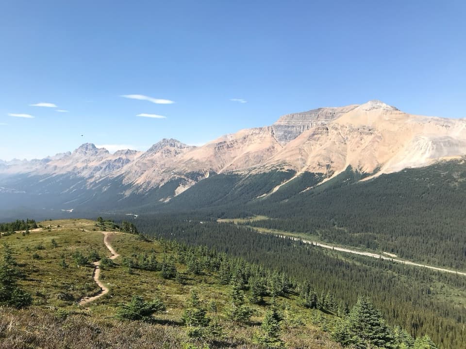 8Bow Summit Viewpoint TrailContinue past Peyto Lake for Bow Lake and wider mountain views.
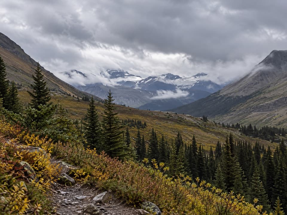 9Nigel Pass TrailA wide alpine pass rewards a steady walk up Nigel Creek.
 10Chephren Lake TrailA rooty forest out-and-back to a turquoise lake beneath towering peaks.
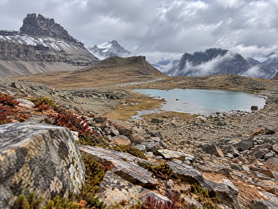 11Dolomite Pass TrailA long alpine climb to two lakes and an unmarked pass.
 12Toe of the Athabasca Glacier TrailA short rocky climb to a close view of the glacier's toe.
 13Athabasca Falls TrailA short circuit links powerful falls and a sculpted limestone canyon.
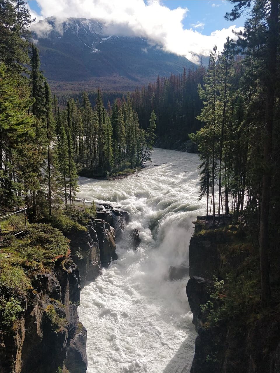 14Sunwapta Falls TrailA quick paved walk to roaring water and a deep limestone gorge.
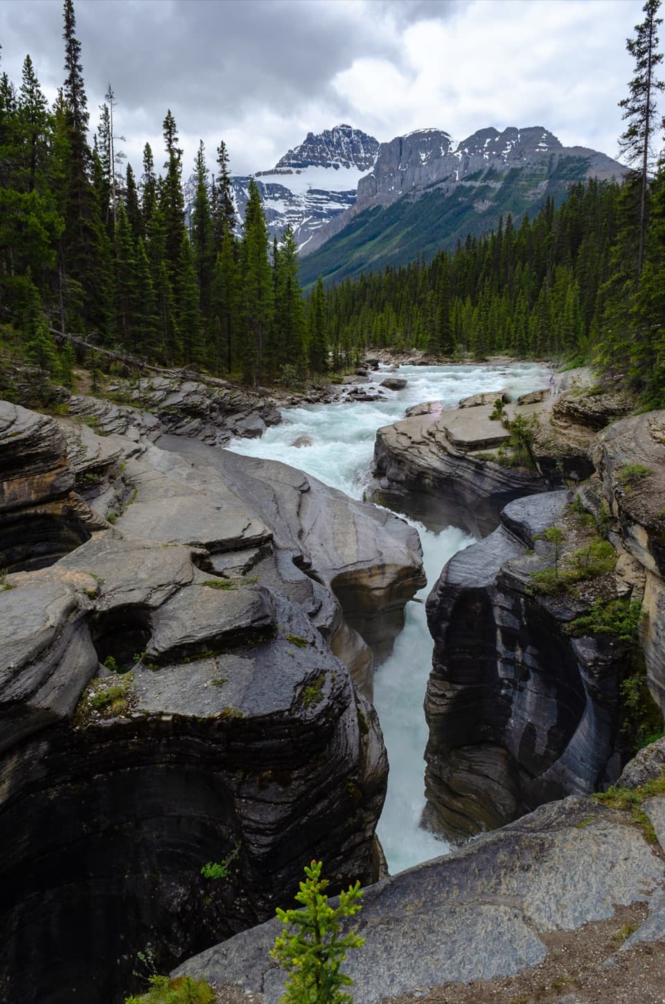 15Mistaya Canyon TrailA quick downhill walk to a canyon of twisting whitewater.
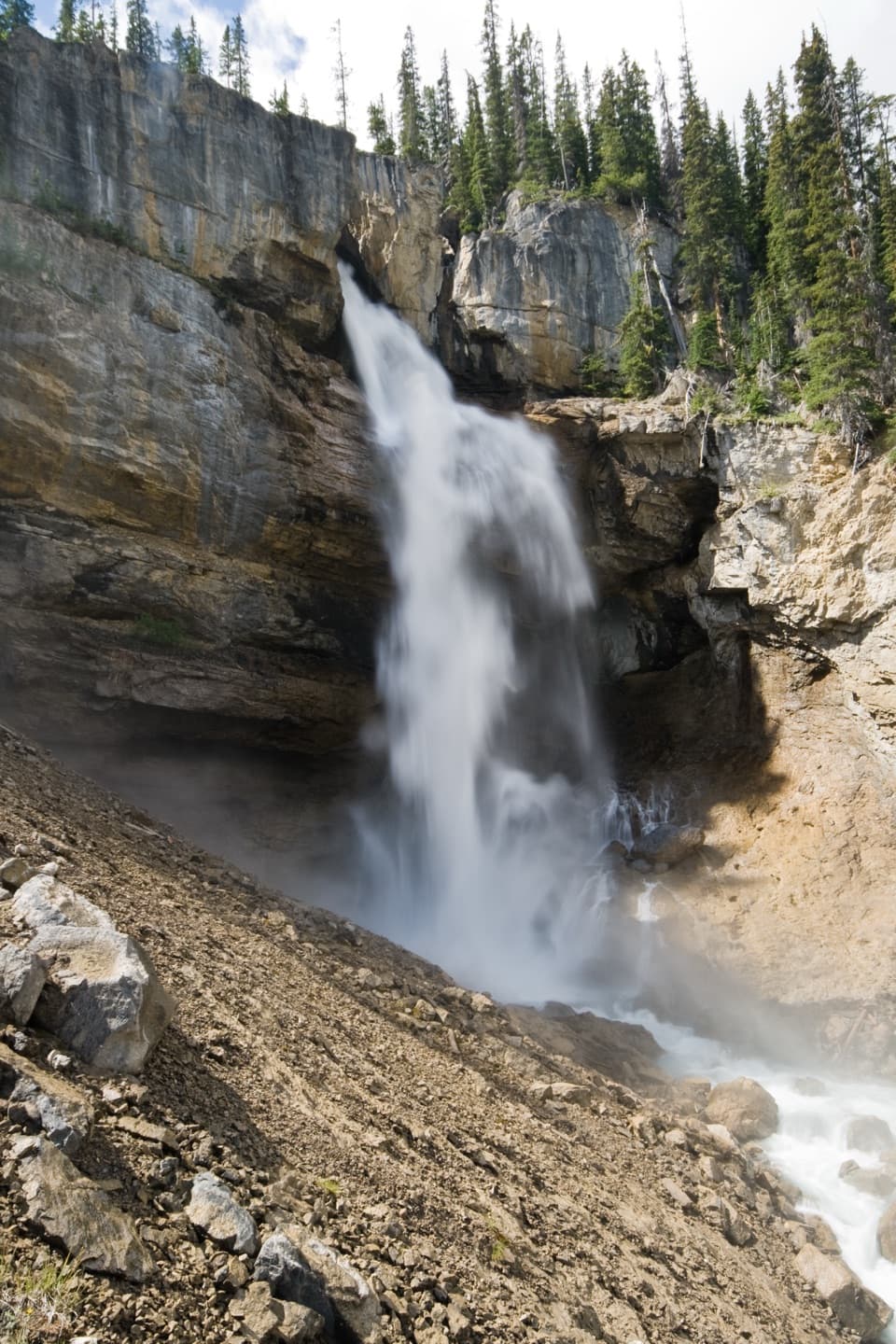 16Panther Falls TrailA steep little hike drops you close to Panther Falls.
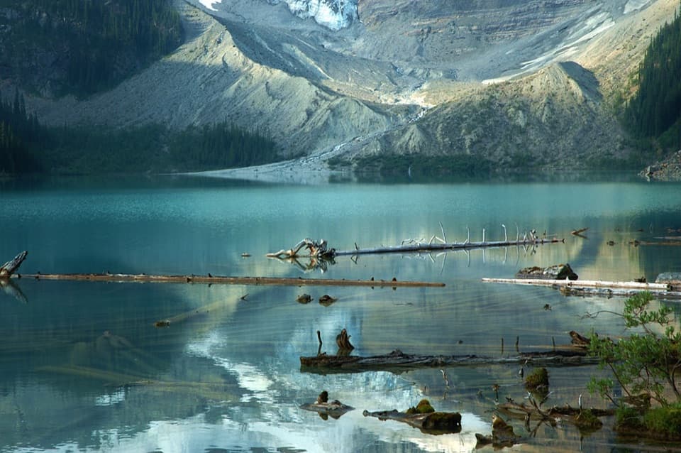 17Cirque Lake TrailBeyond the forest, a boulder shore opens to glacier views.
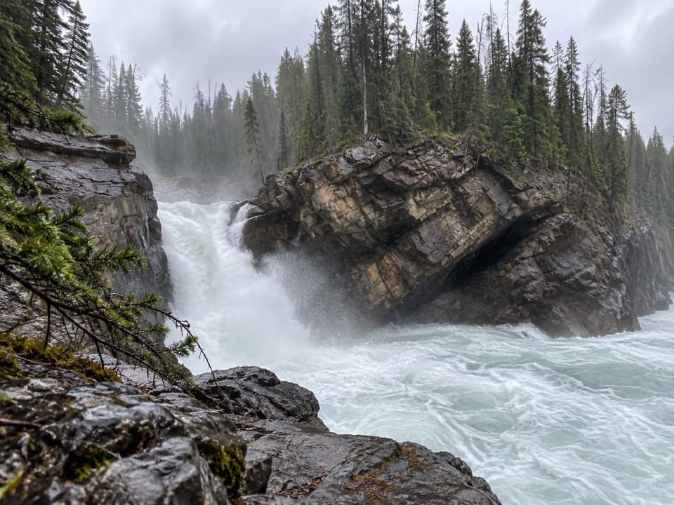 18Lower Sunwapta Falls TrailThree cascades await beyond the upper falls access
 19Wilcox Ridge Viewpoint TrailAlpine meadows and an icefield panorama beyond Wilcox Pass.
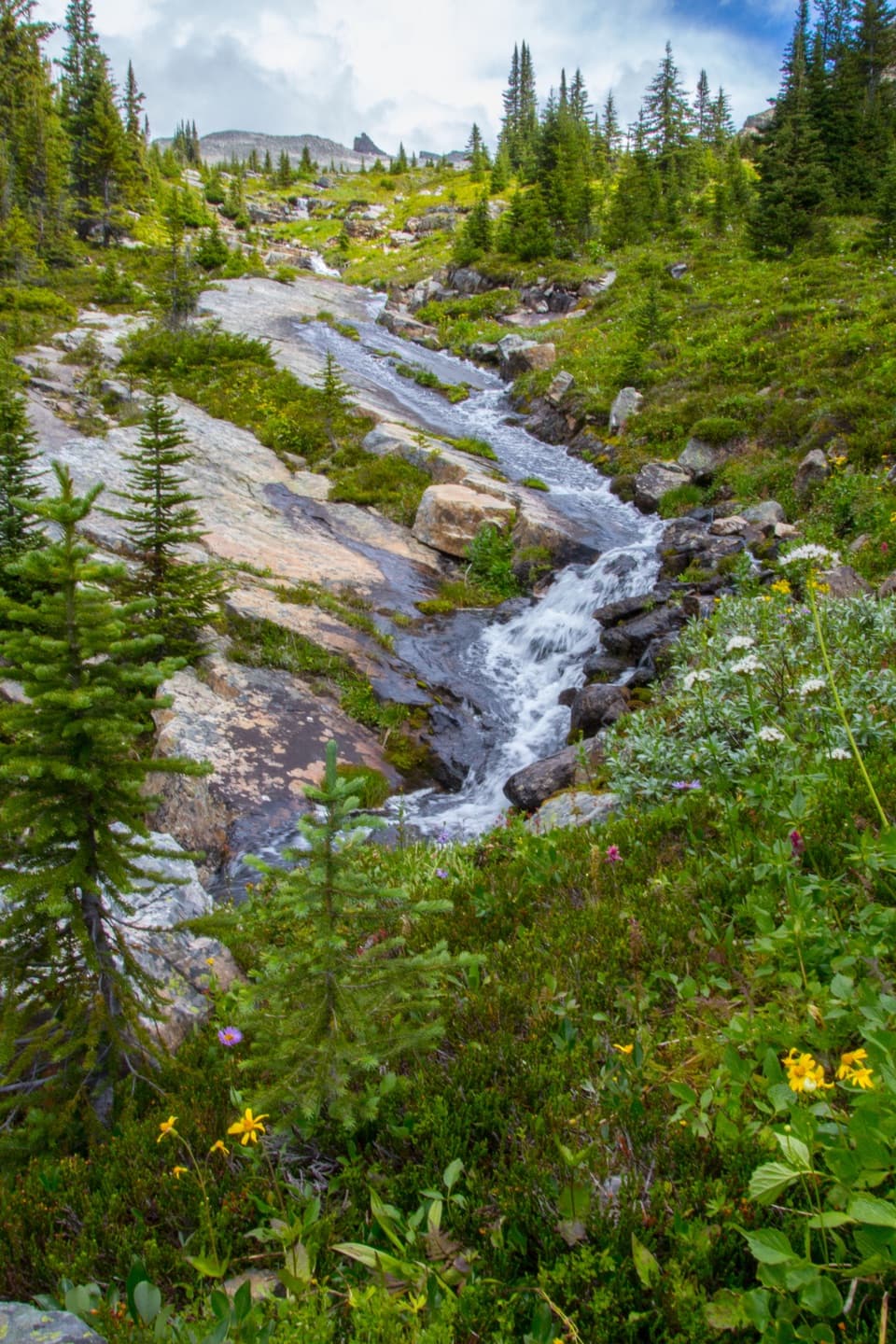 20North Molar Pass TrailA full-day climb to alpine flowers and a high, rocky pass.
 21Sunset Lookout TrailA former fire lookout frames a braided valley and mountain skyline.
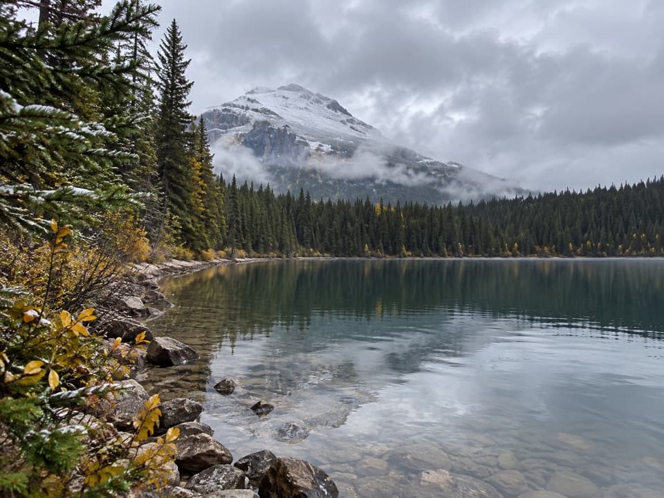 22Glacier Lake TrailA full-day forest hike to a lake beneath high peaks.
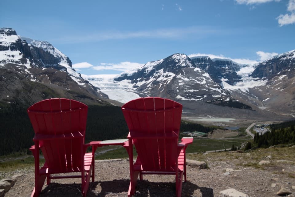 23Wilcox Pass Red Chairs TrailA steep climb ends at red chairs above three glaciers.24Valley Loop at the Valley of the Five LakesA longer First Lake circuit with a bench at Reflection Point.
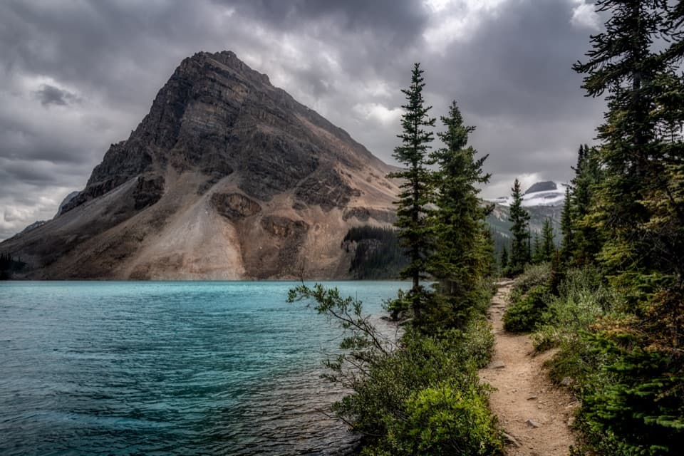 25Bow Lake Lakeshore TrailAn easy lakeshore walk with Bow Lake and Crowfoot Mountain in view.
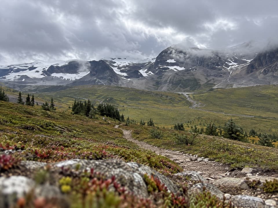 26The Brazeau LoopFive days over three passes to Brazeau Lake and Jonas Shoulder.
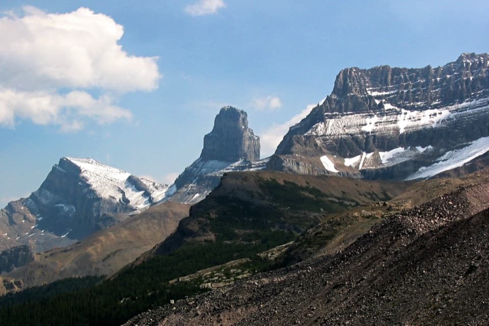 27Fryatt TrailA long valley approach ends at a hut beyond a steep headwall.
 28Geraldine Lakes TrailA rugged climb to alpine lakes, waterfalls, and a backcountry camp.
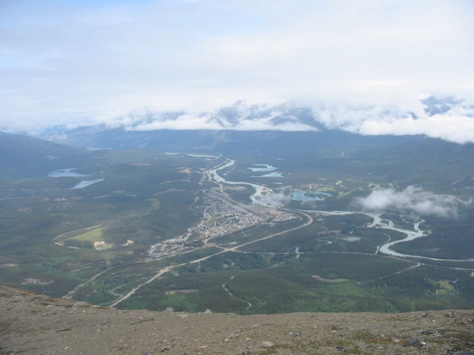 29The Whistlers Summit TrailA steep SkyTram summit climb with wide alpine views.
 30Wabasso Lake TrailBeaver-made lake and a mountain view from the last ridge.
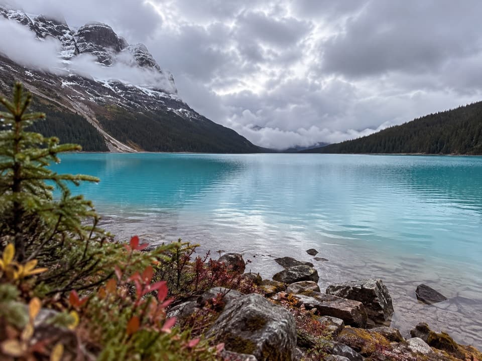 31Peyto Lake TrailA steep, rough descent to Peyto Lake’s actual shoreline.
 32Sunset Pass TrailA hard climb to a high pass above turquoise Pinto Lake.
 33Sarbach Lookout TrailA muddy start and a long climb to views of Howse Pass.
 34Forefield TrailA short, rocky walk over ground the glacier left behind.
 35Bow Hut RouteA rough alpine approach to a hut above Bow Lake.
 36Tonquin Valley TrailCross Maccarib Pass to a lake beneath the Ramparts.
 37Wetland WayA flat, easy 1.8 km return to Wabasso Creek’s wetland boardwalk.
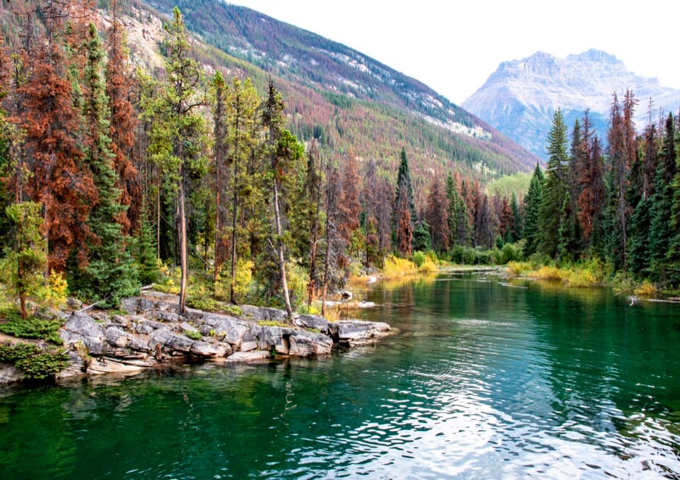 38Horseshoe Lake TrailA short loop for clear water and cliff-framed lake views.
 39Upper Waterfowl Lake TrailA quick bridge crossing opens onto turquoise Upper Waterfowl Lake.
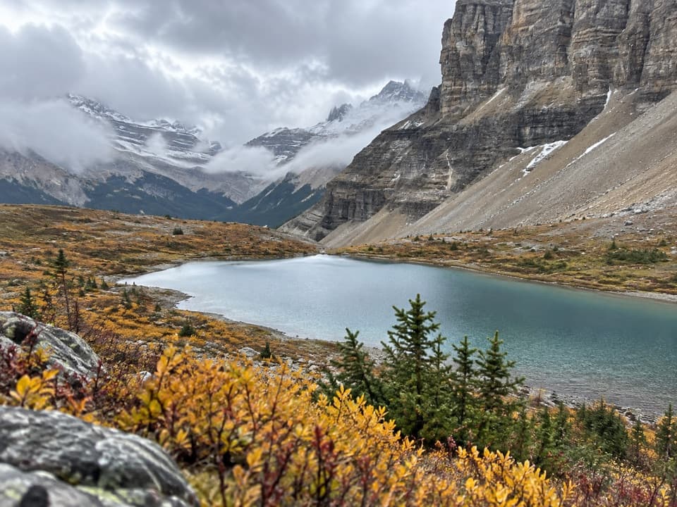 40Crowfoot Pass and Balfour Viewpoint TrailA river ford leads to pass tarns and a tucked-away ridge view.
 41Boundary Lake TrailA faint route leads to a turquoise lake beneath Mount Athabasca.
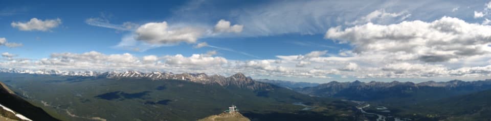 42The Whistlers TrailSteep 14 km out and back to alpine summit views over Jasper.
 43Mosquito Creek TrailFollow a forested valley to the creekside Mo5 campground.
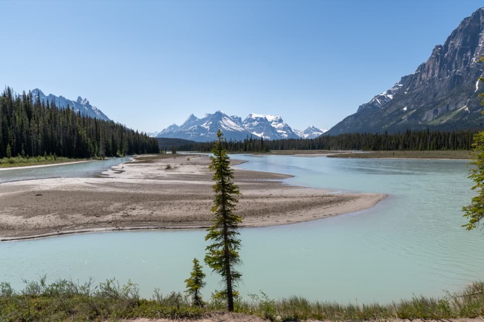 44Chaba Trail: Big Bend and Athabasca CrossingAn old forest road opens onto Dragon Peak above the Athabasca.
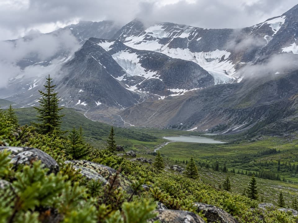 45Jonas Pass-Poboktan CreekA 54 km, multi-day crossing from Nigel Creek to Poboktan Creek.
 46Maligne Pass TrailA rough 48 km traverse to an alpine lake, fords, and wildflowers.
 47Wabasso–Five Lakes TrailA longer through-walk linking Wabasso Lake with the Five Lakes area.
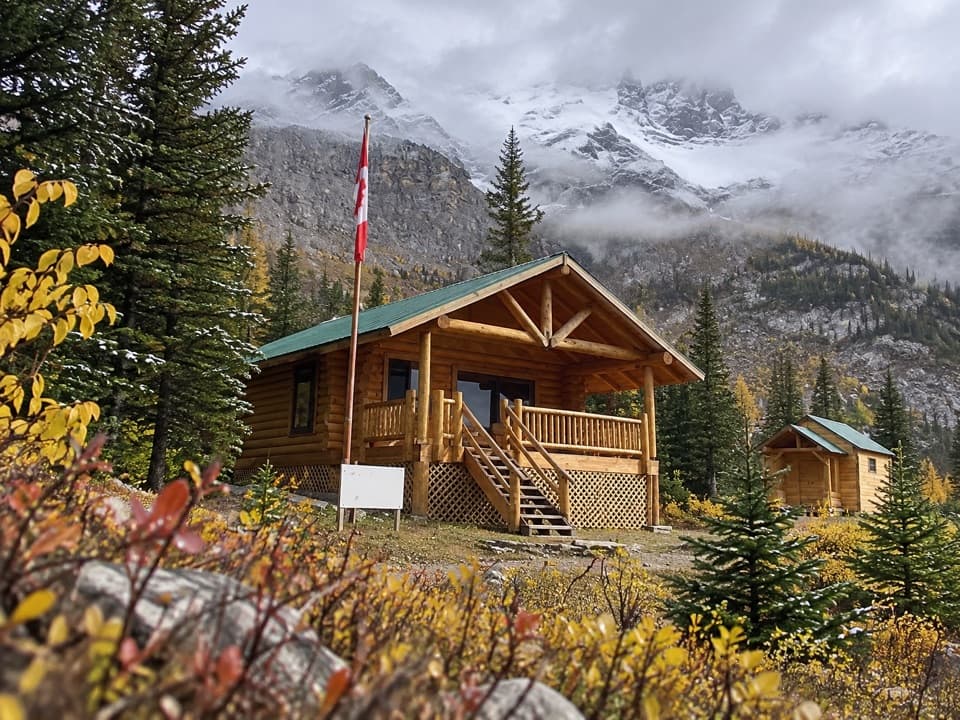 48Curator TrailA steep climb from the highway into the Skyline’s high country.
 49Moab Lake SpurA short lakeshore walk from the Moab Lake access road.
 50Fish Lakes via North Molar PassCross a high pass to camp beside remote alpine lakes
 51Devon Lakes via Fish LakesA remote four-day backpack to alpine lakes over three high passes.
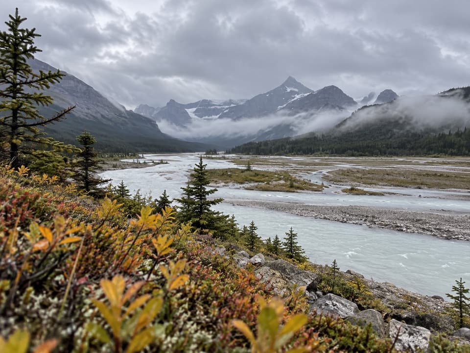 52Howse Pass TrailA remote pass traverse across the braided Howse River valley.
 53Poboktan Pass TrailCreek forest leads to a broad pass and Brazeau Lake
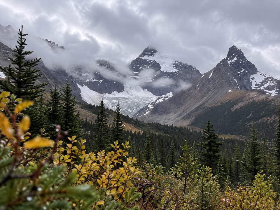 54Hilda Creek to Hilda GlacierAn unmarked creek climb to Hilda Glacier's moraine flats.

The highest, rockiest slopes around here are a summer buffet for grizzly bears.
Icefields Parkway Tour Guide
Icefields Parkway, narrated.
Parkwolf is a GPS audio tour guide for Icefields Parkway (Highway 93). As you drive, it chimes in with what’s ahead: hidden gems, upcoming stops, history, geology, and wildlife, right through your car’s speakers.
See the Icefields Parkway audio tourRecorded for this place
Athabasca Glacier: Walk the Retreat0:00 / 0:32
“You're approaching the Athabasca Glacier area. For a close view without booking an excursion, I'd choose the Toe of the Athabasca Glacier Trail from the road-end parking area.”
Plays as you drive up to Athabasca Glacier in the Parkwolf Icefields Parkway Tour Guide.
More stories near here in the app
- Columbia Icefield Centre: Food and the Skywalk
- A Hummingbird’s Overnight Slowdown
- Icefield Tent Campground: Camp with Glacier Views
- Wilcox Pass: The Red-Chair Turnaround
- 141 audio storiesacross Icefields Parkway’s roads, triggered by GPS as you drive
- Wildlife heatmapsfor Grizzly Bear, Black Bear, Moose, and 13 more
- Works offlinemaps, 54 trails, 57 places, and audio download before you lose signal
- CarPlay readysimple controls built for the drive
“Fantastic app with many points of information… It’s great to just turn on while you’re driving and it gives you an audio tour of the national Park. We love it!!!!”

