
All Natchez Trace places
62 places
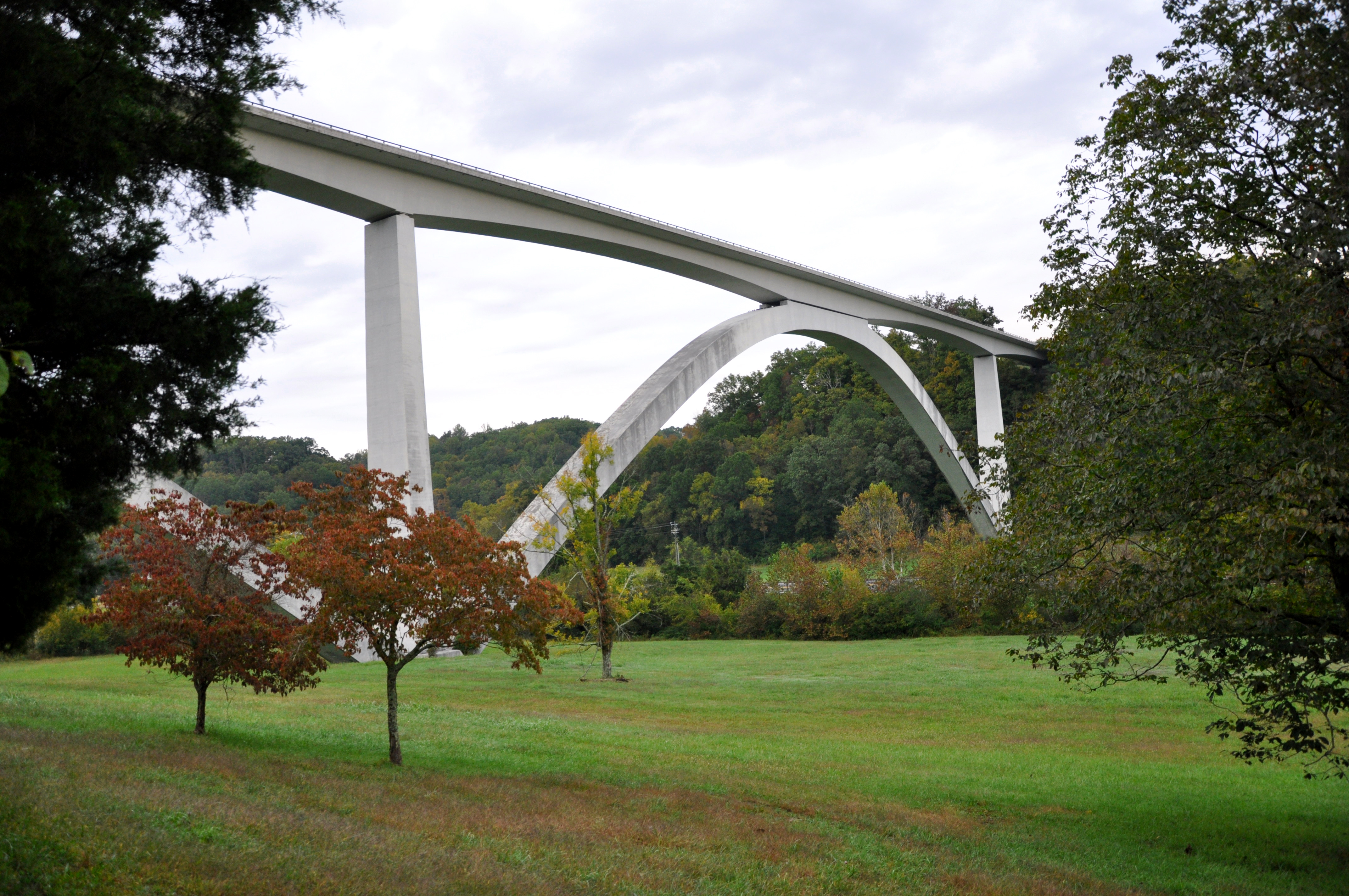
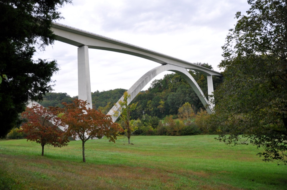 1Double Arch Bridge at Birdsong HollowTwin concrete arches vault 155 feet over a wooded Tennessee hollow
 2Cypress SwampBoardwalk loop through bald cypress, tupelo, and still water
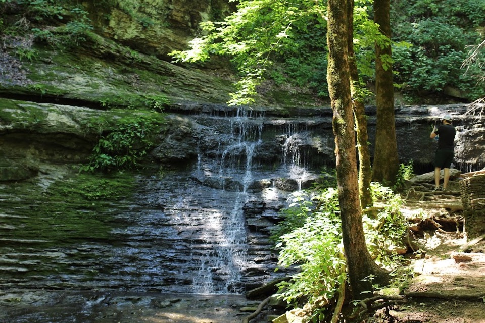 3Jackson FallsSteep 900-foot paved walk down to a sculpted cascade and pool
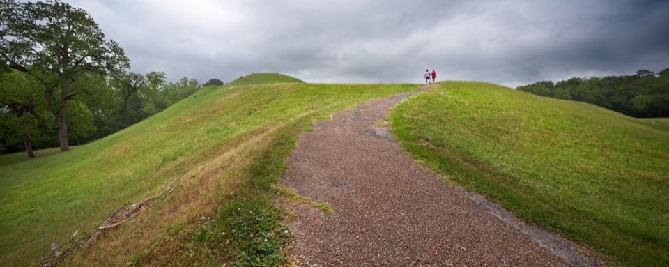 4Emerald MoundClimb the second-largest Mississippian ceremonial mound in the U.S.
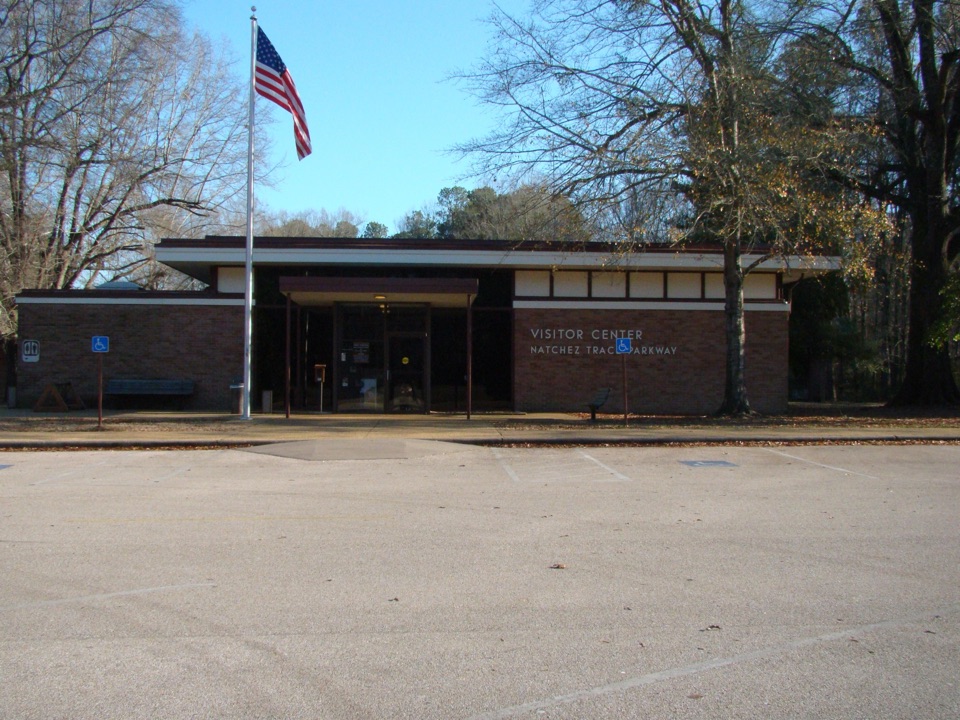 Natchez Trace Parkway Visitor CenterAsk a ranger, watch the 15-minute film, then drive with context
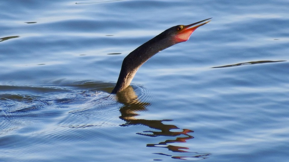 5Reservoir OverlookHigh views over a 33,000-acre reservoir and a 10-mile paved trail
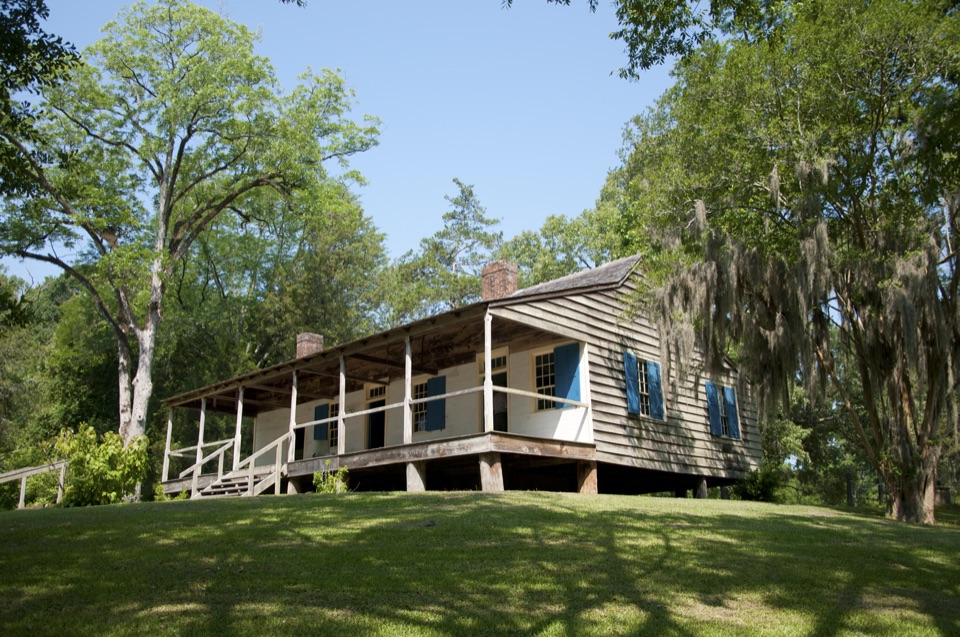 6Mount Locust Historic HouseFrontier inn turned cotton plantation, with cemeteries a short walk away
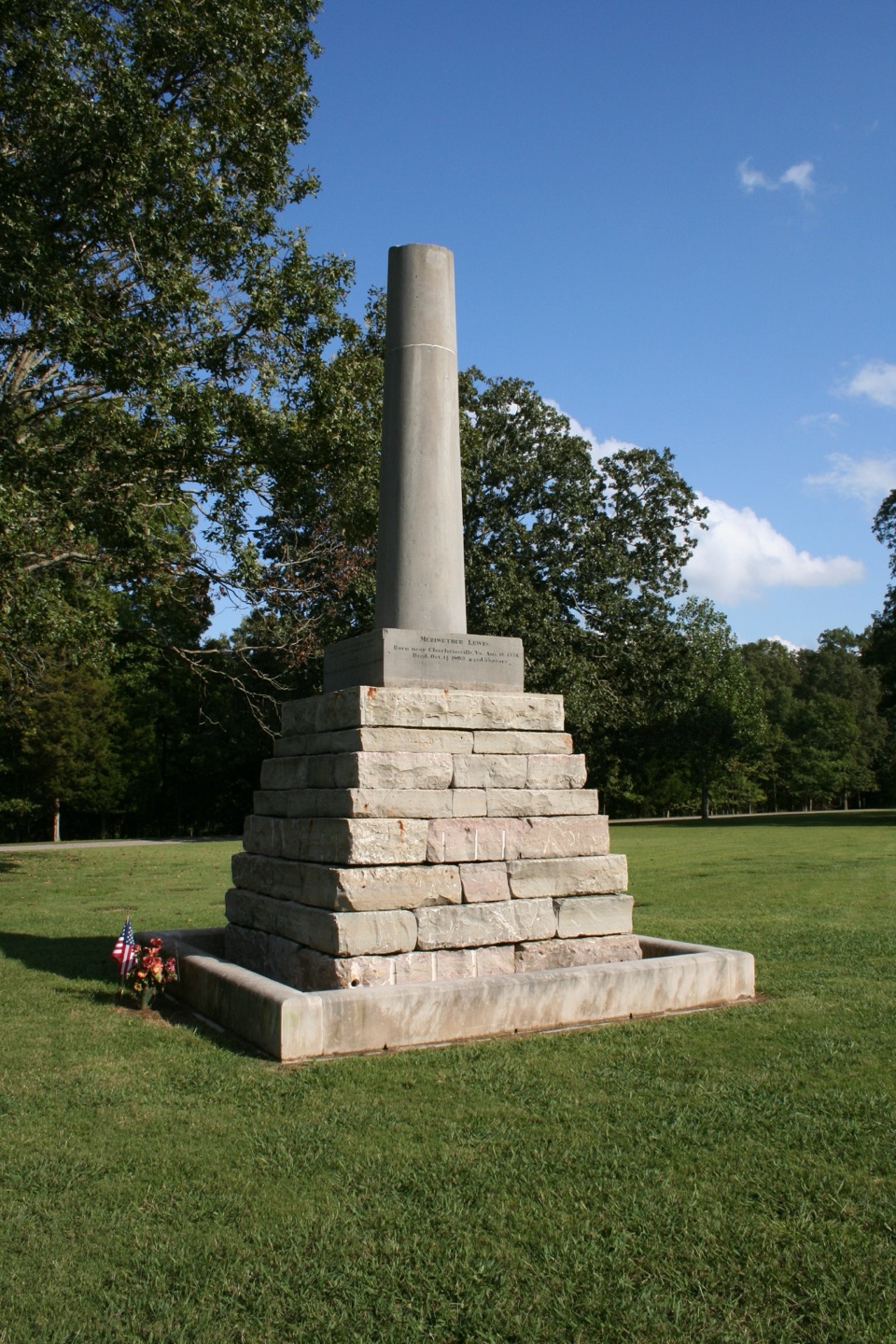 7Meriwether Lewis Monument and GravesiteA broken shaft beside an explorer's grave on the old Trace
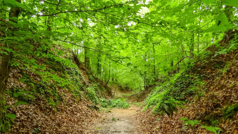 8Sunken TraceA tunnel-like gully where centuries of travelers wore the road down
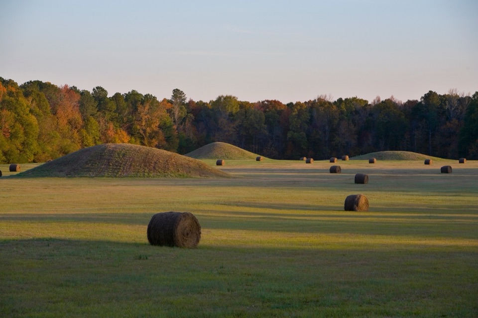 9Pharr MoundsEight low burial mounds from about 2,000 years ago
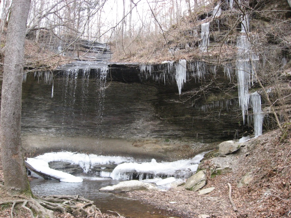 10Fall Hollow WaterfallHear the 20-foot drop before you even leave the parking lot
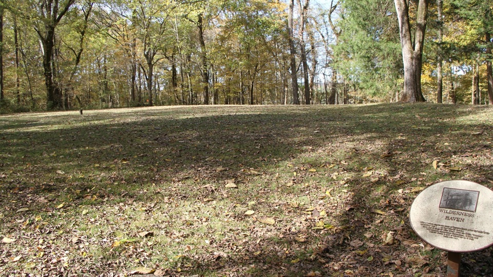 11Colbert FerryChickasaw ferry history and river picnics at milepost 327.3
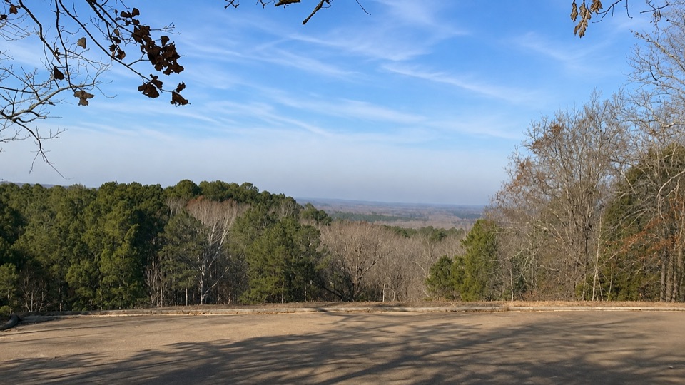 12Little Mountain Overlook at Jeff BusbyHilltop pullout near one of Mississippi's highest points
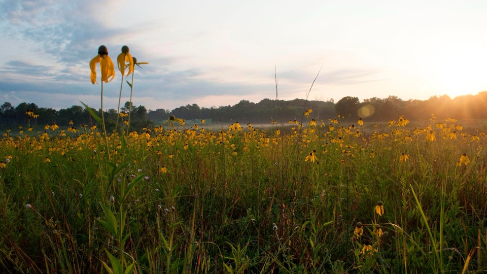 13Chickasaw Village SitePrairie wildflowers and marked house sites where a Chickasaw town stood
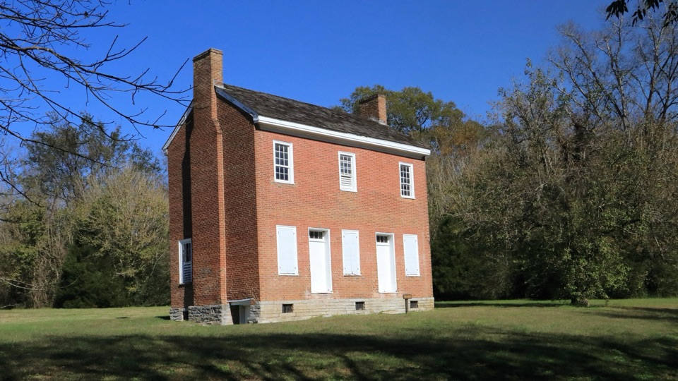 14Gordon House Historic SiteRare 1818 brick house from the Old Trace ferry days
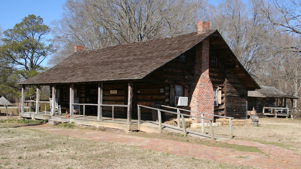 15French Camp Historic VillagePreserved log-cabin village with museum, pottery studio, cafe and inn
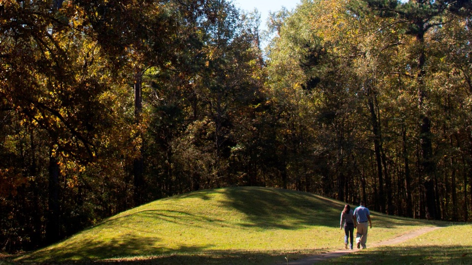 16Bynum MoundsTwo-thousand-year-old rebuilt mounds circled by a short paved loop
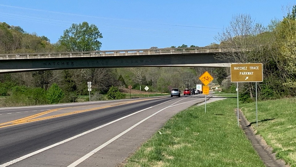 17Natchez Trace Parkway Northern TerminusUnassuming ramp off Highway 100 where the Parkway begins
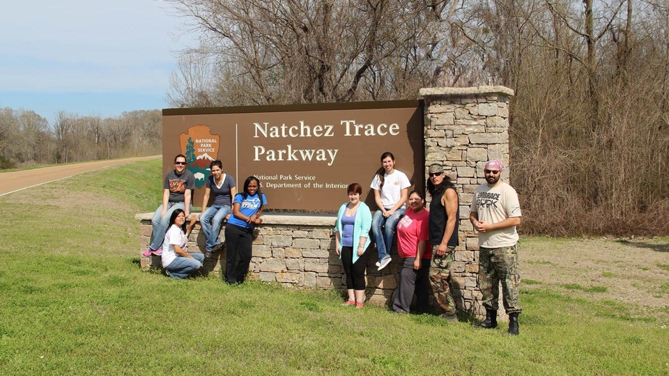 18Natchez Trace Parkway Southern Terminus SignStone marker at milepost 0 where the 444-mile route begins
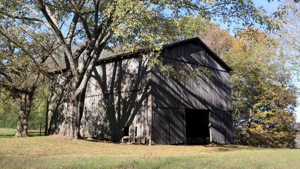 19Tobacco Barn and Old Trace DriveStep inside a historic barn, then drive two miles of Old Trace
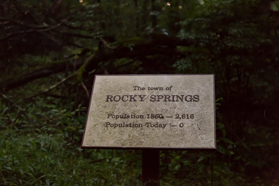 20Rocky Springs Historic SiteVanished cotton town: church, cemetery, rusting safes, old cisterns
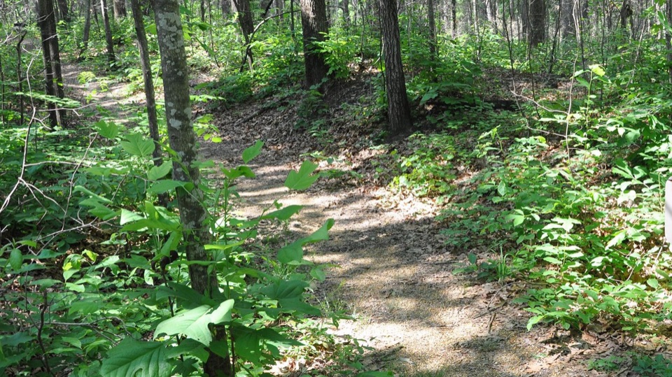 21Old Trace and Confederate GravesitesWalk a sunken stretch of old road to thirteen unknown graves
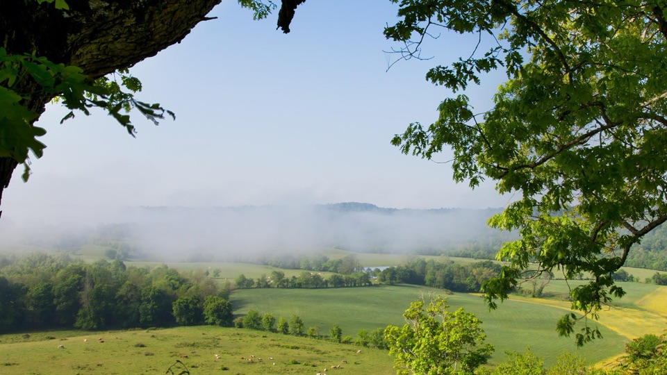 22Baker Bluff OverlookSeasonal rural vista over Tennessee farmland, barns and wooded ridges
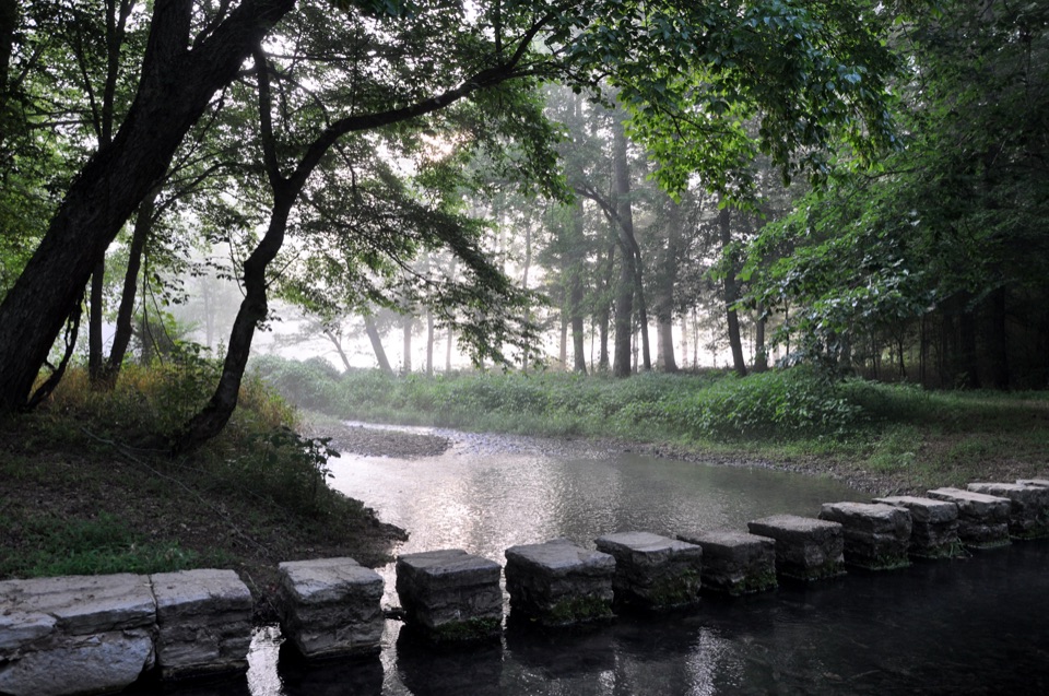 23Rock SpringA 20-minute loop past a bubbling spring and stepping-stone creek
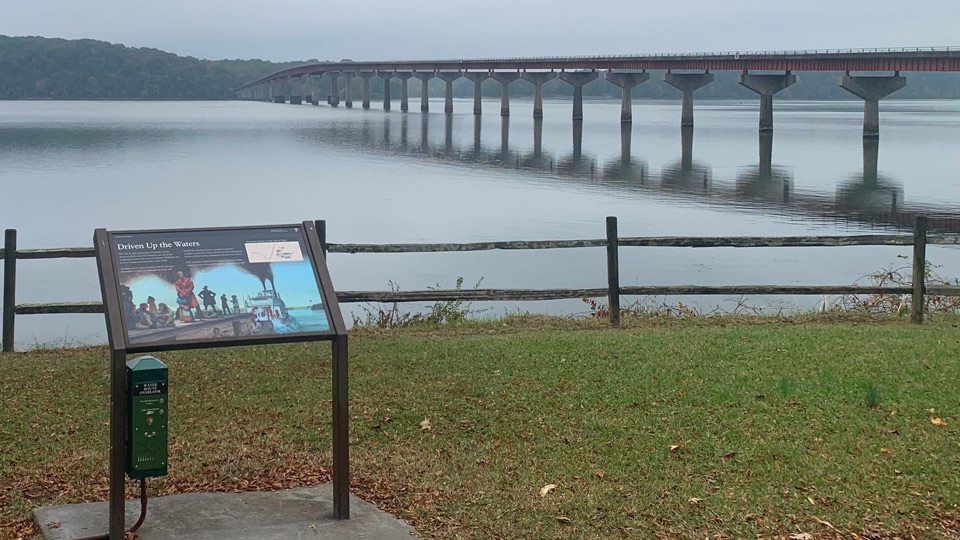 24Trail of Tears Water Route OverlookWhere about 2,800 Cherokee passed by water toward Indian Territory
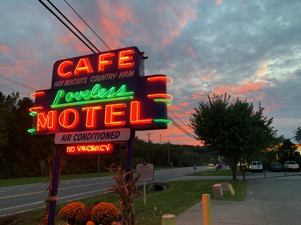 The Loveless CafeScratch biscuits and fried chicken under a neon roadside sign
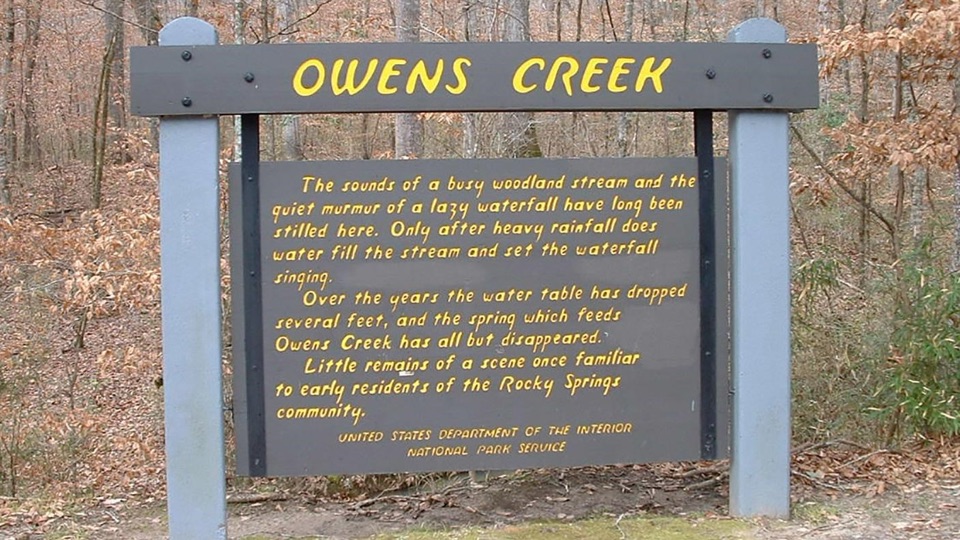 25Owens Creek WaterfallMilepost 52.4 stop where a rain-fed fall and trail begin
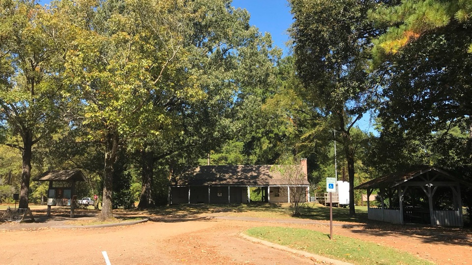 26Parkway Information CabinPaved trail access and a rest break at a closed log cabin
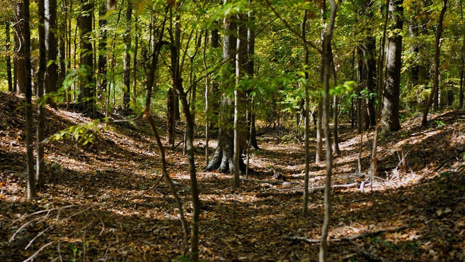 27Brashears Stand and Old TraceShort loop on the original road at a vanished stand site
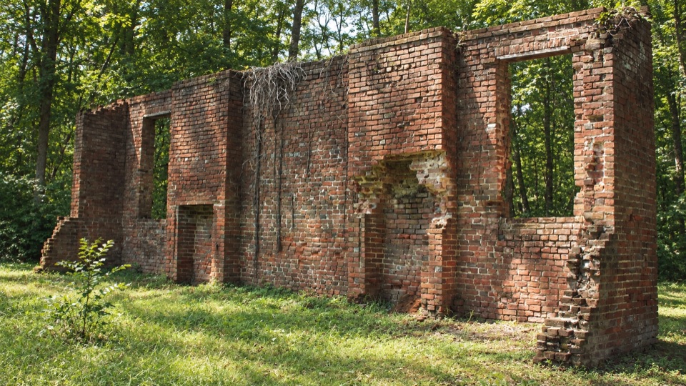 28Elizabeth Female AcademyWooded brick ruins of Mississippi's first chartered women's college
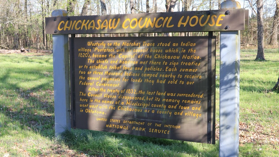 29Chickasaw Council HouseWhere Pontatock stood, capital of the Chickasaw Nation in the 1820s
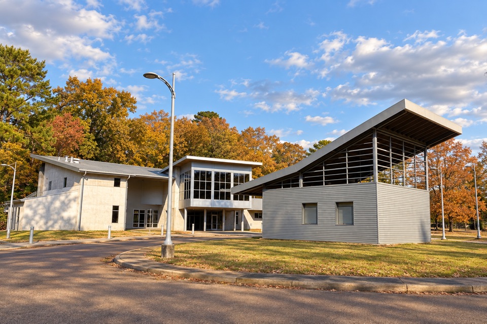 30Bill Waller Craft CenterHandmade Southeast craft in a striking gallery beside the Old Trace
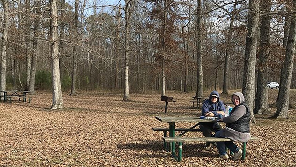 Tennessee-Tombigbee Waterway Picnic AreaShaded tables beside a working shipping canal, with bridge views
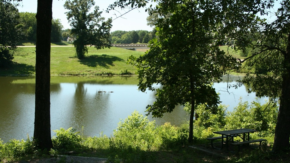 31Old Town OverlookPondside fishing and trail access with layers of local history
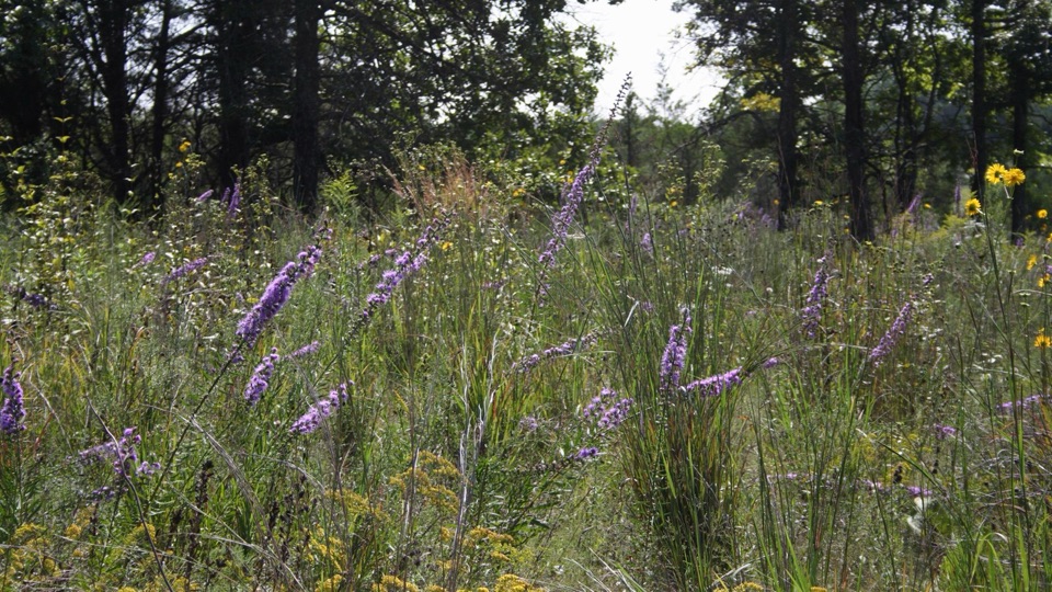 32Black Belt OverlookRestored tallgrass prairie remnant with the story of an ancient sea
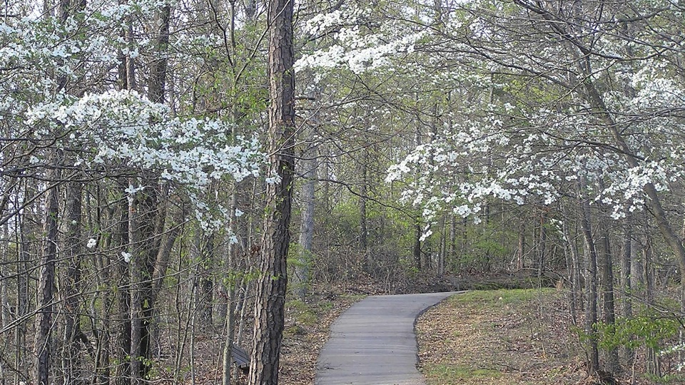 33Freedom Hills OverlookShort steep paved climb to Alabama's highest point on the Trace
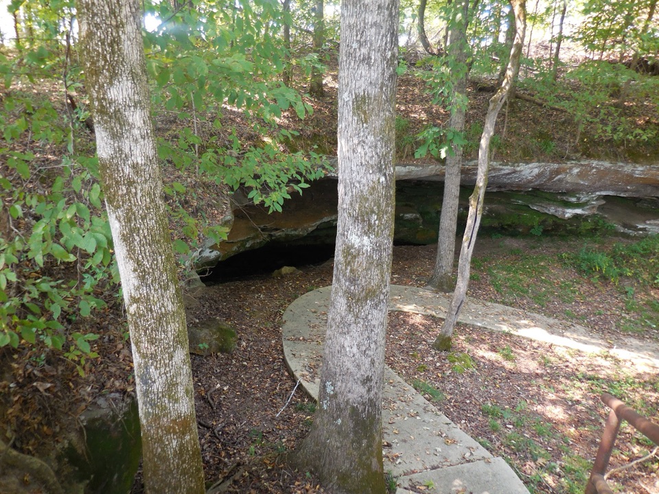 34Cave SpringA collapsed limestone cavern and spring, sacred ground for millennia
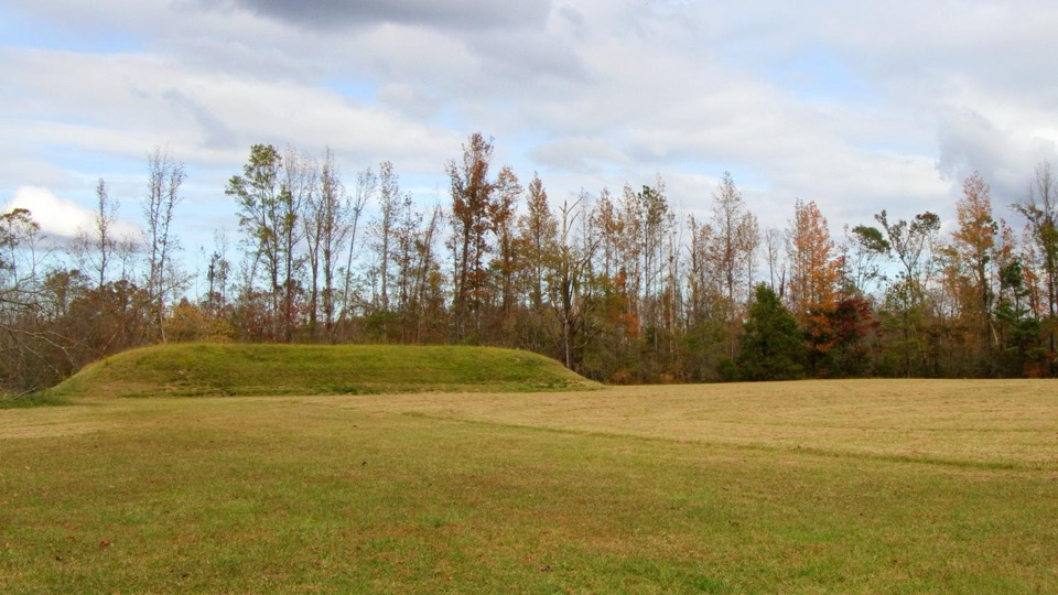 35Bear Creek MoundFlat-topped ceremonial mound raised about 900 years ago beside the creek
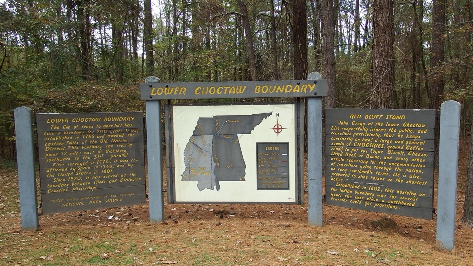 Lower Choctaw BoundaryTwo panels and a map explain a boundary held for two centuries
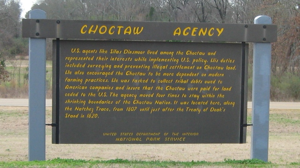 36Choctaw Agency and Chisa FokaRoadside sign marking Choctaw treaty history, plus a paved shaded trail
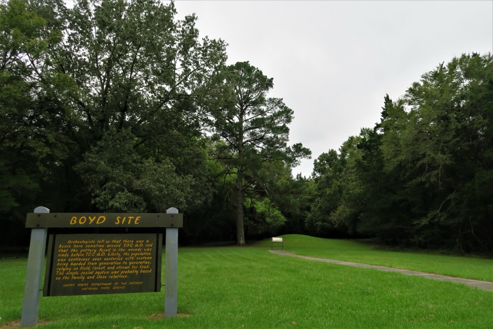 37Boyd SiteQuiet roadside stop at a low mound with layered ancient history
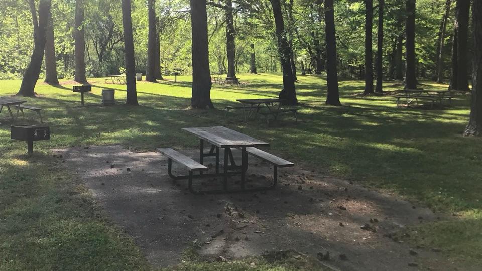 Coles Creek Picnic AreaShaded creekside tables and restrooms at milepost 17.5
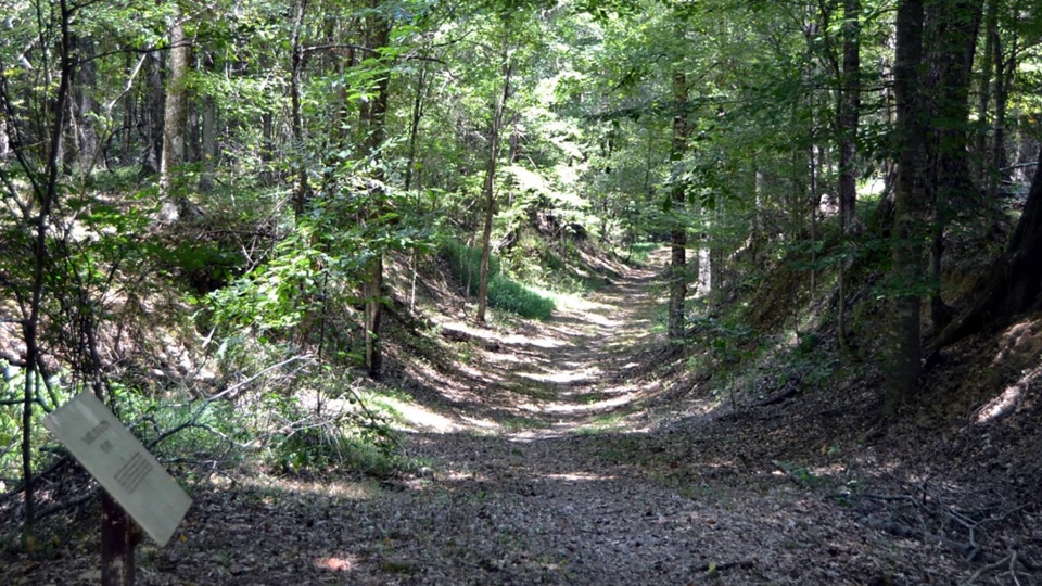 38Grindstone FordSunken frontier road to the bayou that once divided two nations
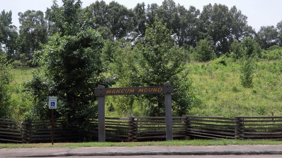 39Mangum MoundSacred burial mound raised nearly 1,000 years ago at milepost 45.7
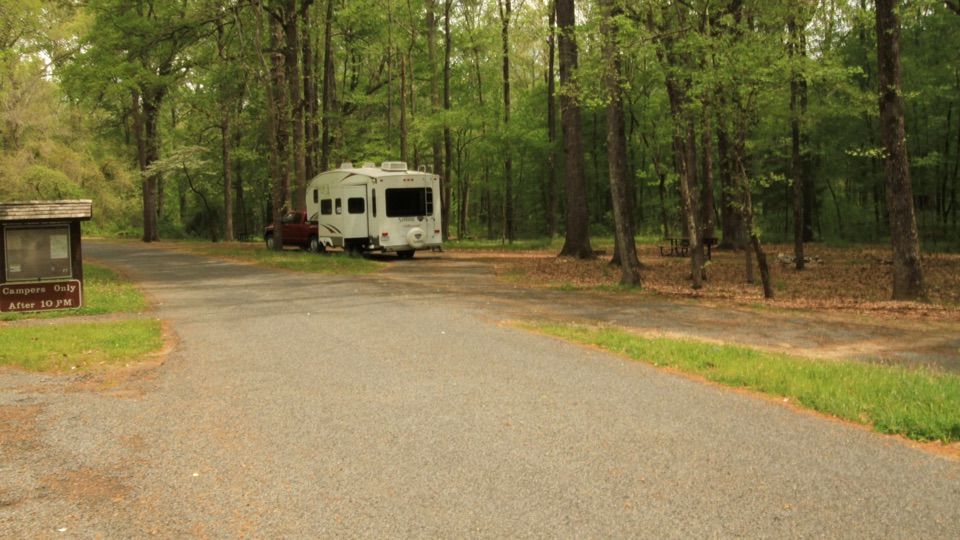 Rocky Springs CampgroundQuiet 22-site woodland camp beside the Old Trace and old town
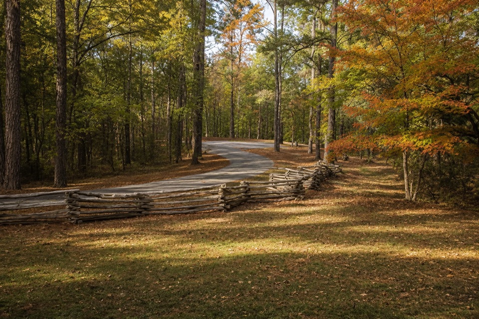 Jeff Busby CampgroundFree primitive camping midway, with short trails and a hilltop overlook
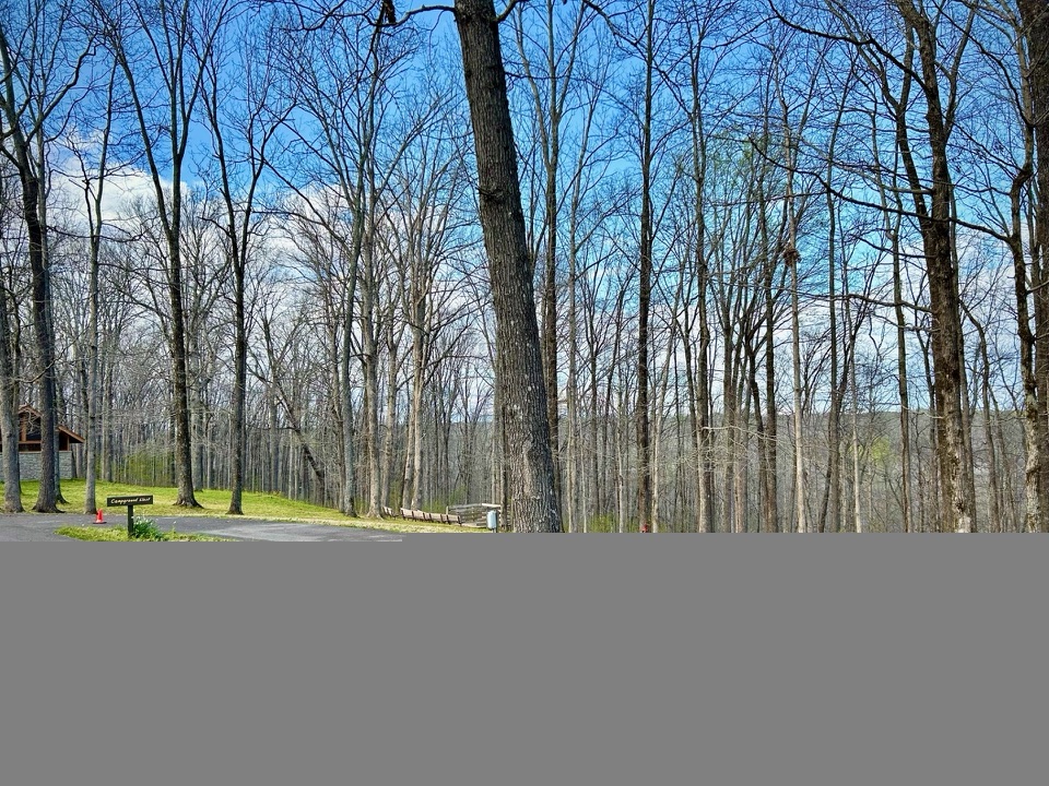 Meriwether Lewis CampgroundFree, first-come forest camping with water, flush toilets, and paved pads
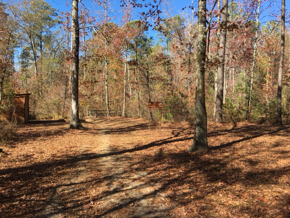 Witch Dance Picnic AreaShaded tables, grills and a horse trailhead steeped in witch legend
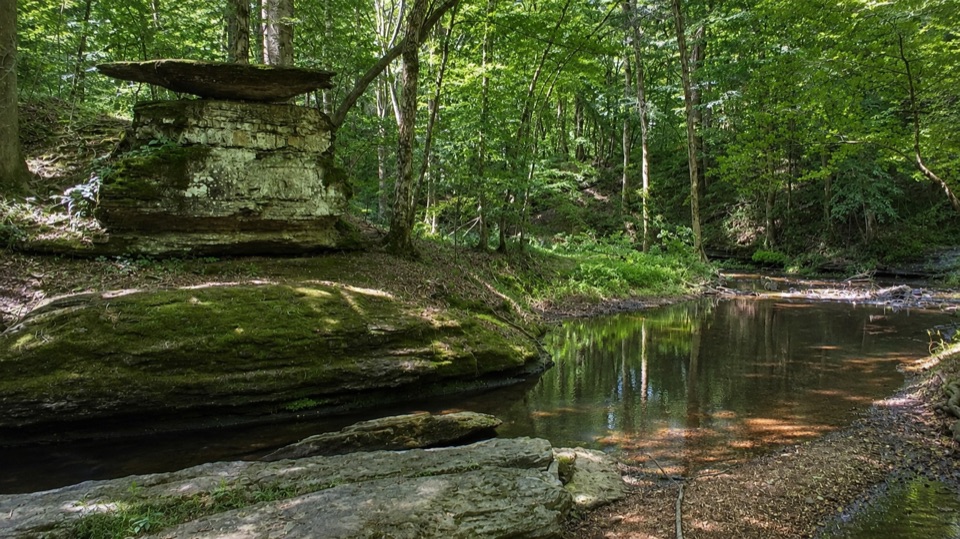 Glenrock Branch Picnic AreaShaded creekside picnic tables tucked beneath layered limestone ledges
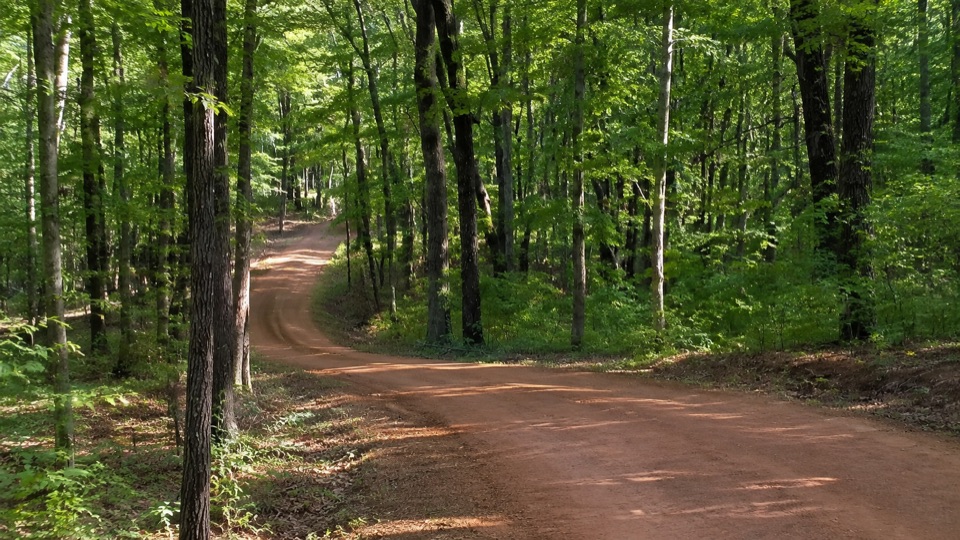 40Old Trace DriveDrive 2.5 miles of the original frontier road, with three overlooks
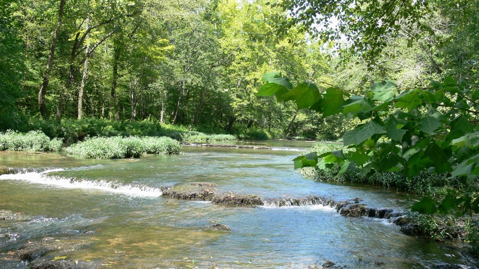 41Metal FordStone-bottomed Buffalo River ford with old Trace and ironworks traces
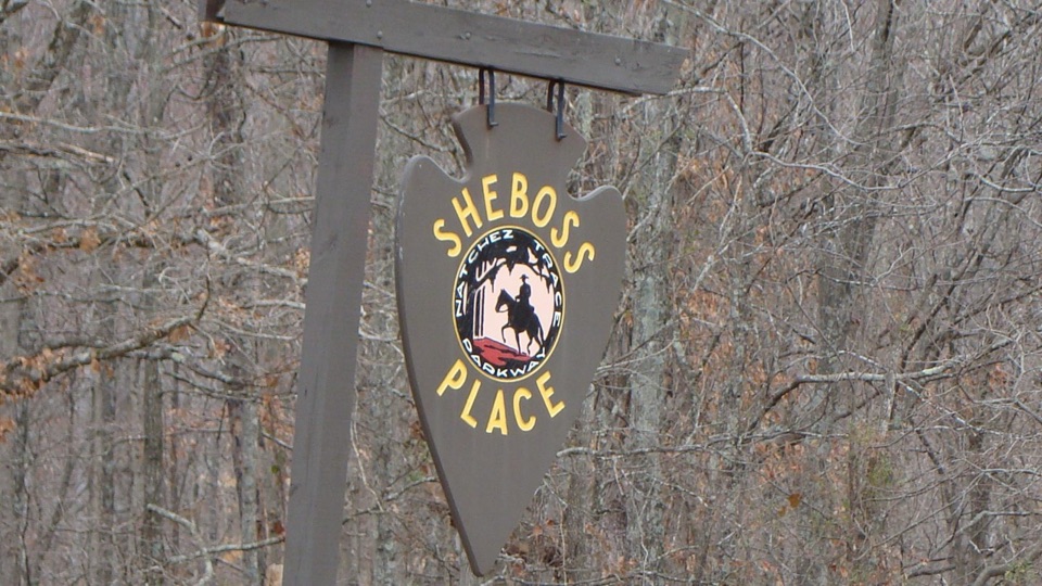 42Sheboss PlaceRoadside arrowhead sign marking a vanished inn and a wry legend
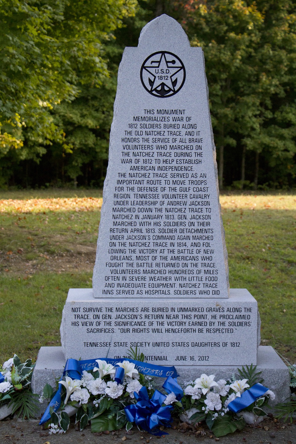 43War of 1812 MemorialRoadside tribute to volunteers who marched hundreds of hard miles
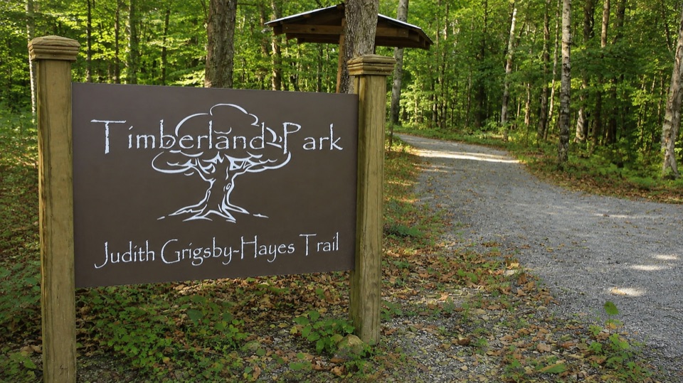 44Timberland ParkWooded loops, a small nature center, and a quiet overlook pavilion
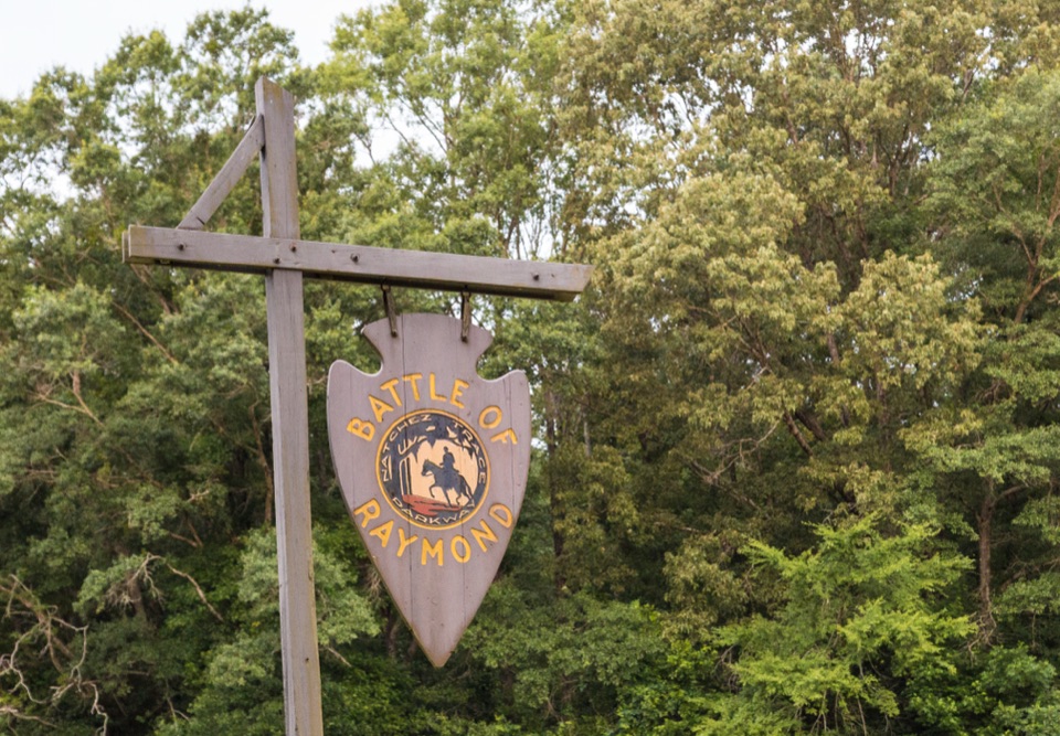 45Battle of RaymondRoadside sign marking an 1863 Vicksburg Campaign fight three miles east
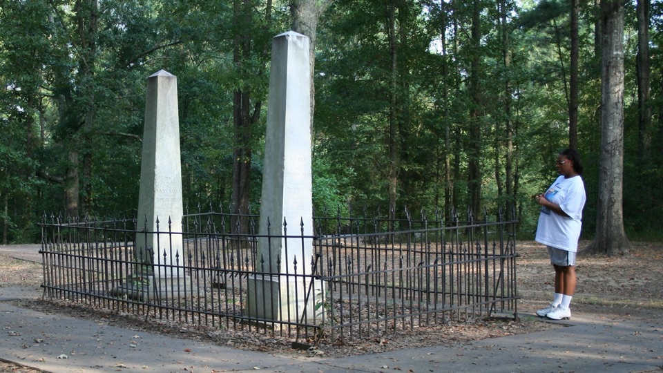 46Cowles Mead CemeteryTwo white obelisks fenced in the woods mark a vanished estate
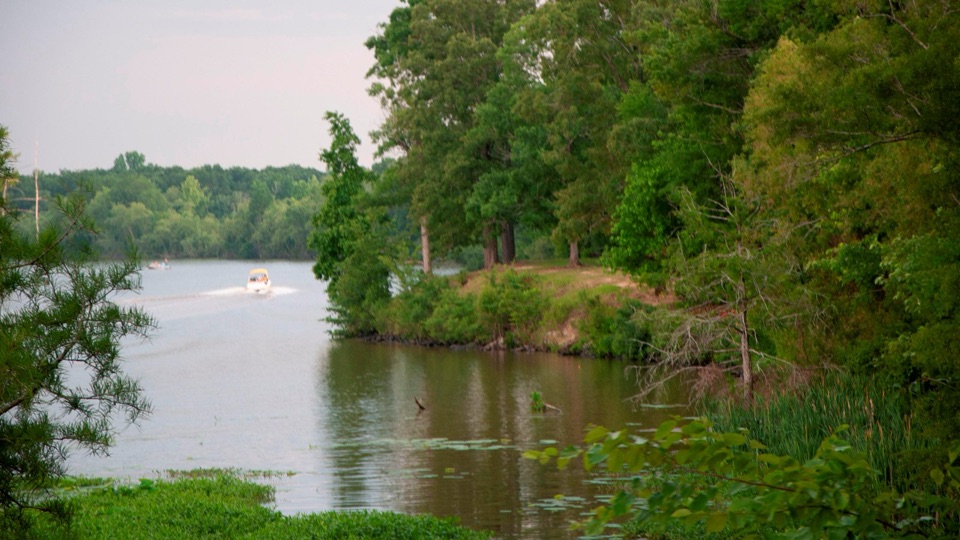 River Bend Picnic AreaCalm reservoir water, wading birds, and the occasional alligator
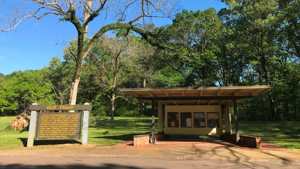 47Old Trace Exhibit ShelterRead the Old Trace story, then look across at the road itself
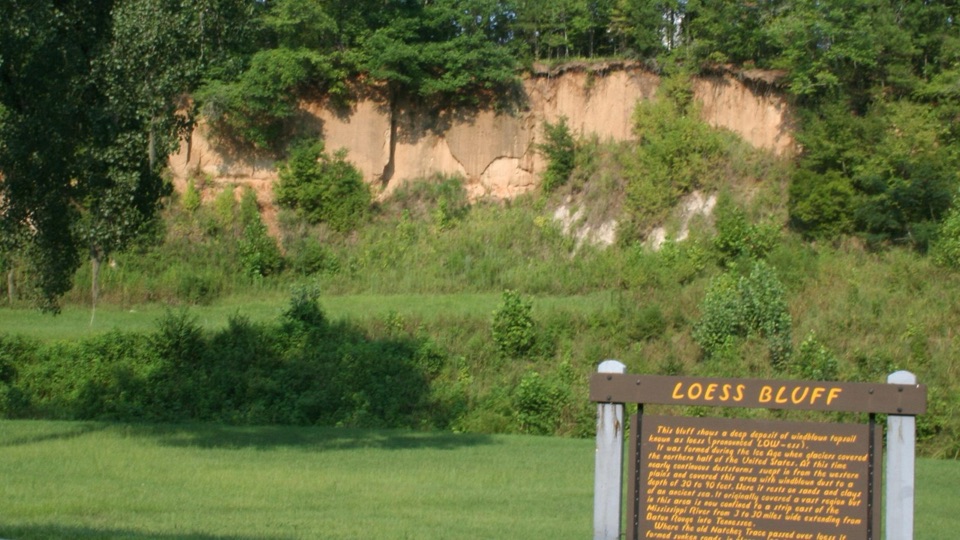 48Loess BluffExposed Ice Age dust that explains why the old Trace sank
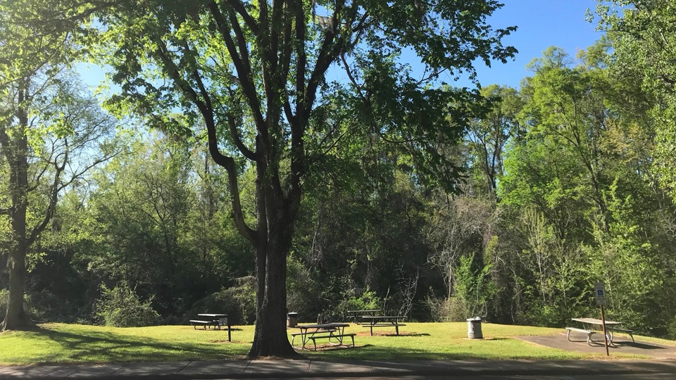 Turpin Creek Picnic AreaGrassy roadside picnic clearing with tables, grills, and creek sounds
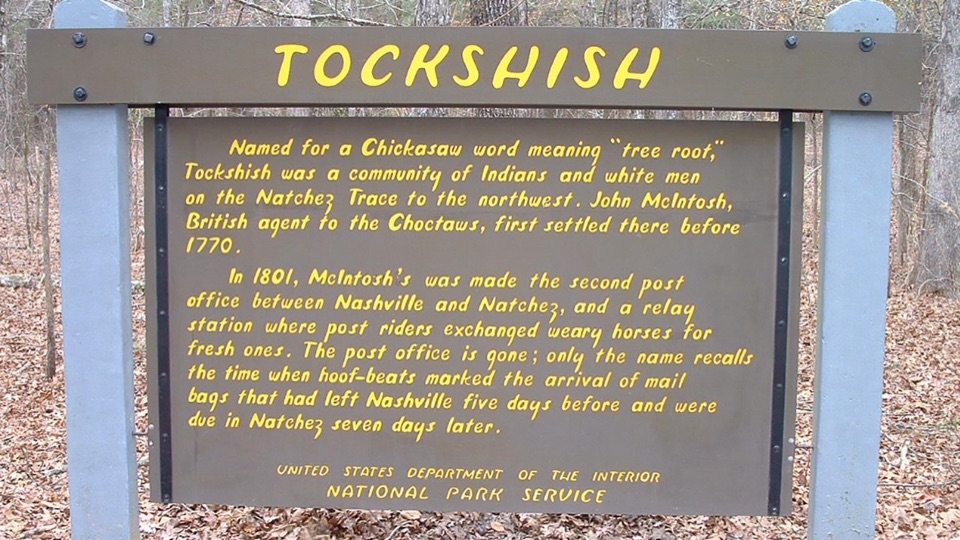 49Tockshish Historic SiteWhere postriders swapped tired horses on the old mail road
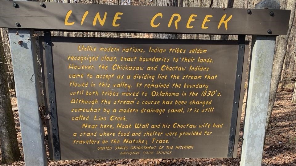 Line Creek Historical MarkerRoadside sign marking an old Chickasaw and Choctaw dividing line
The highest, rockiest slopes around here are a summer buffet for grizzly bears.
Natchez Trace Tour Guide
Natchez Trace, narrated.
Parkwolf is a GPS audio tour guide for Natchez Trace Parkway. As you drive, it chimes in with what’s ahead: hidden gems, upcoming stops, history, geology, and wildlife, right through your car’s speakers.
Recorded for this place
Double Arch Bridge at Birdsong Hollow0:00 / 0:31
“You're approaching the Double Arch Bridge at Birdsong Hollow, where two open concrete arches carry the Parkway high above a wooded valley.”
Plays as you drive up to Double Arch Bridge at Birdsong Hollow in the Parkwolf Natchez Trace Tour Guide.
More stories near here in the app
- Timberland Park
- The Bird in the Leaf Litter
- The Arches That Hung in Place
- The Bird That Borrows a Nest
- 272 audio storiesacross Natchez Trace’s roads, triggered by GPS as you drive
- Wildlife heatmapsfor American Alligator, White-tailed Deer, Wild Turkey, and 9 more
- Works offlinemaps, 26 trails, 62 places, and audio download before you lose signal
- CarPlay readysimple controls built for the drive
“Fantastic app with many points of information… It’s great to just turn on while you’re driving and it gives you an audio tour of the national Park. We love it!!!!”

