
All Wilsons Promontory places
46 places
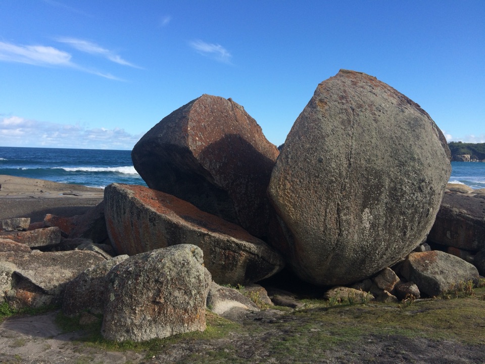 1Squeaky BeachA squeaking quartz shore, hemmed in by granite boulders.
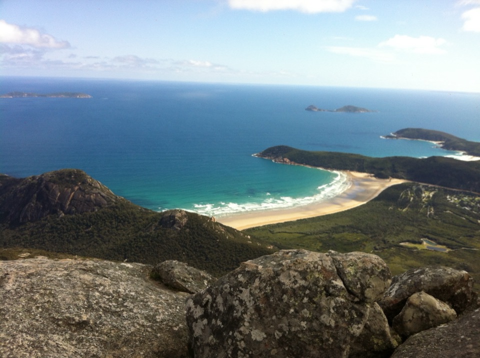 2Mount OberonA 558 m summit above Tidal River, bays and offshore islands.
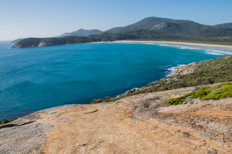 3Norman BeachWalk a long, flat beach with Mount Oberon in view.
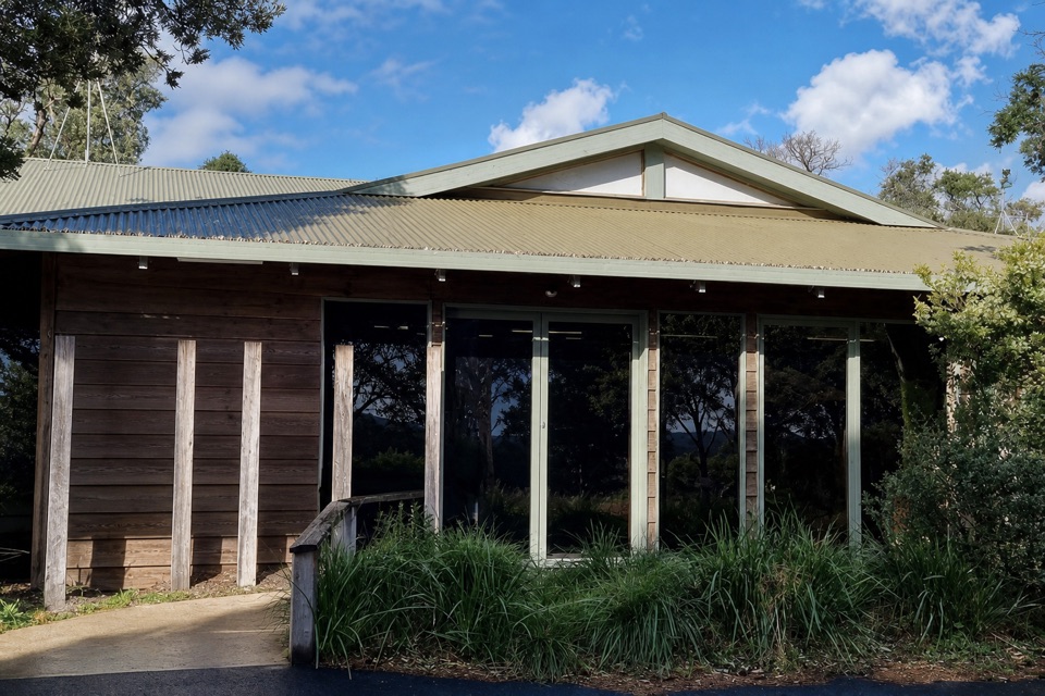 Tidal River Visitor CentreMaps, permits and local advice make this a useful first stop.
 4Big DriftA steep sand climb into an inland dune field.
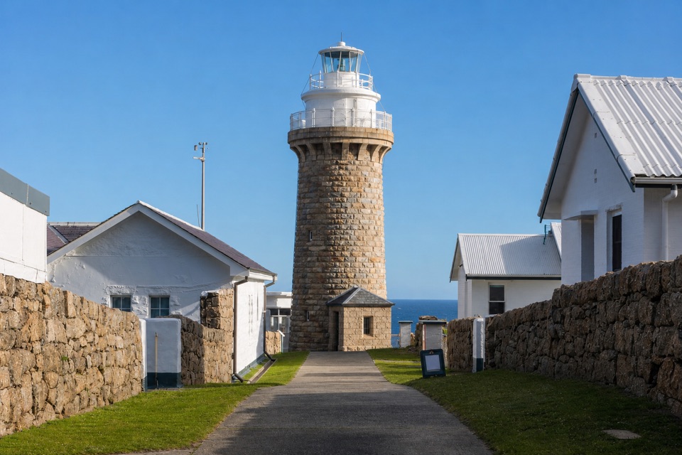 5Wilsons Promontory LightstationA granite lighthouse at the end of a long wilderness walk.
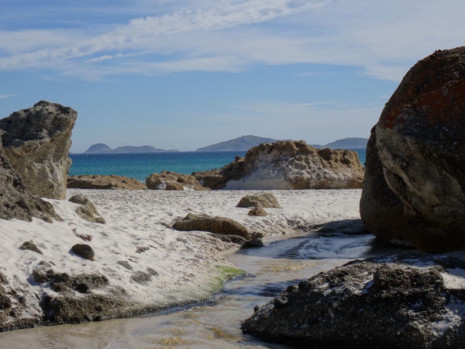 6Whisky BayWalk through dunes to a beach framed by granite boulders.
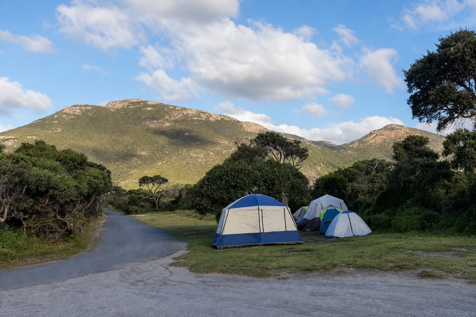 Tidal River CampgroundA beach-and-river campground with the visitor hub on site.
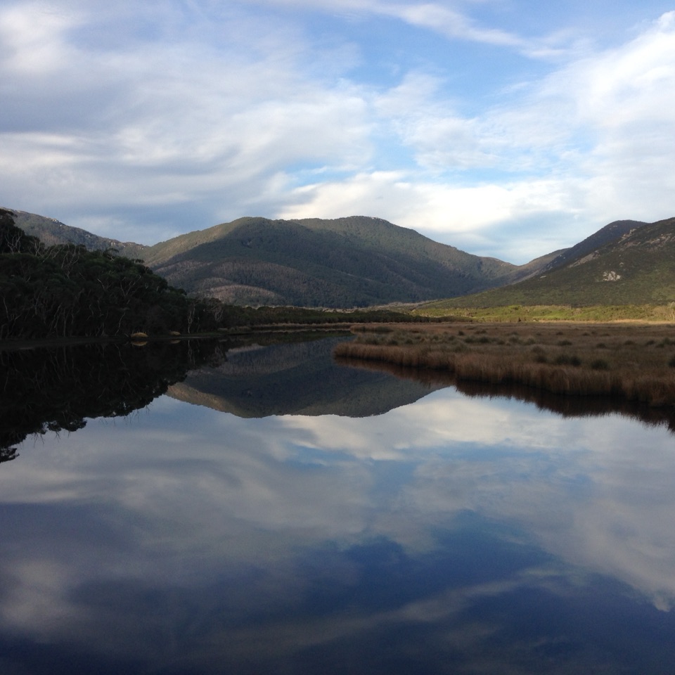 7Mount BishopA rocky summit, with Squeaky Beach and islands spread below.
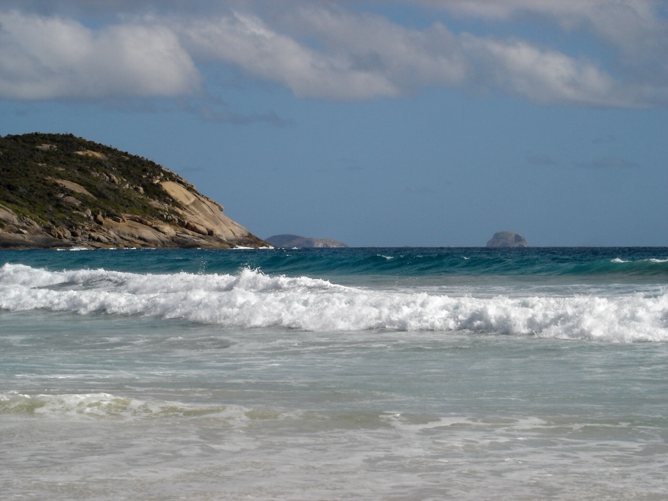 8Picnic BayA short, steep path drops to tide pools and an island-view lookout.
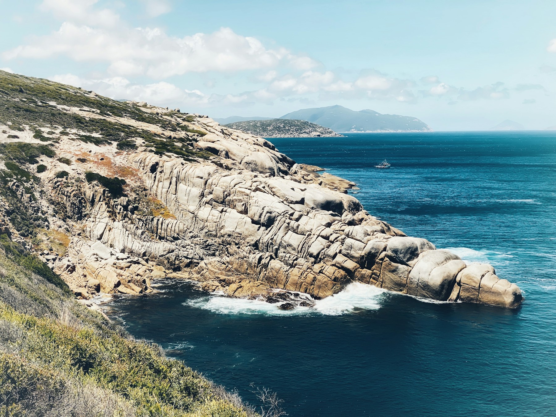
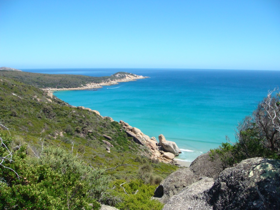 9Tongue PointWeathered granite tors reward the long coastal walk
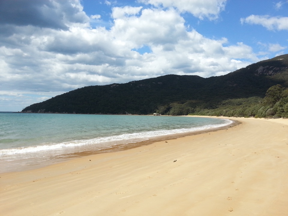 10Sealers CoveA pale-sand cove worth the long rainforest walk.
 11Prom Wildlife Viewing AreaA roadside chance to spot kangaroos, wombats and emus.
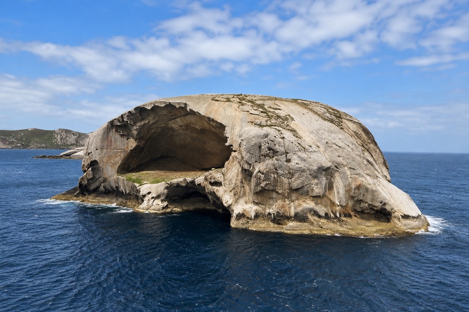 12South PointA long walk to mainland Australia's southern edge.
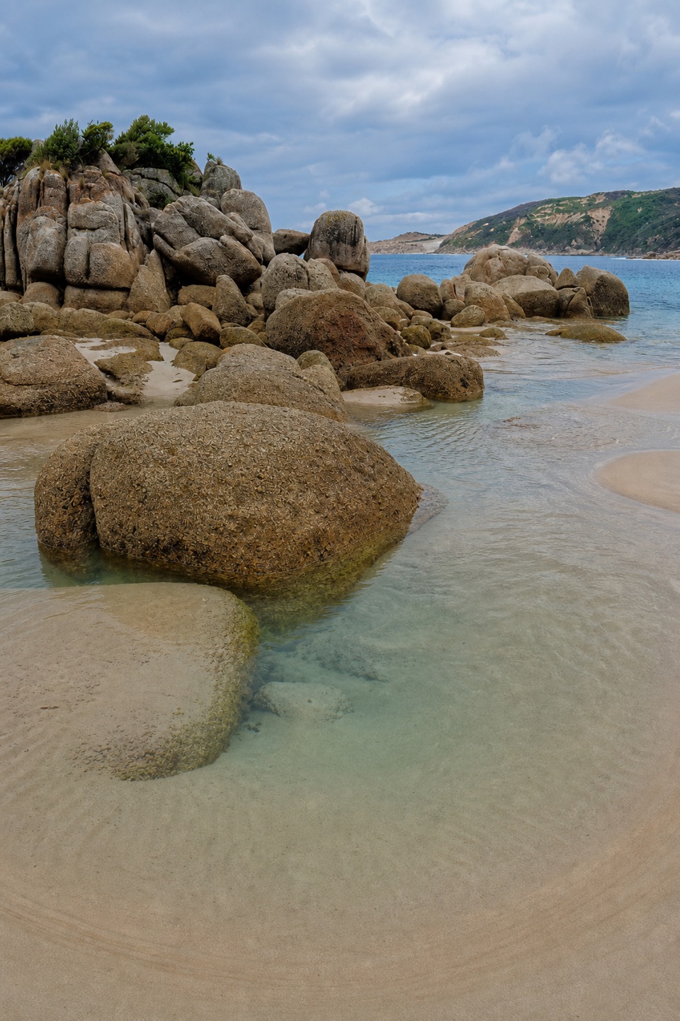 13Fairy CoveA tucked-away sand pocket framed by granite on the coastal walk.
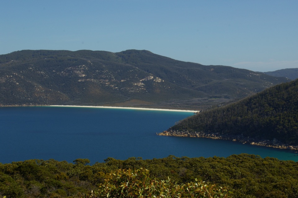 14Waterloo BayA remote sweep of white sand on the Southern Circuit.
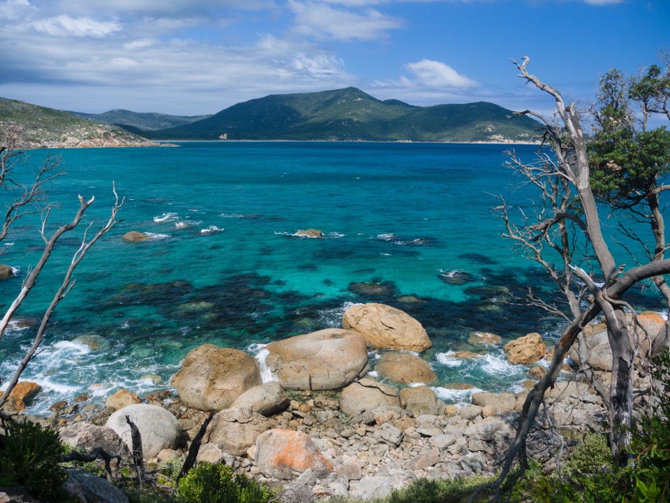 15Little Oberon BayA compact beach with clear water, reached by a proper coastal walk.
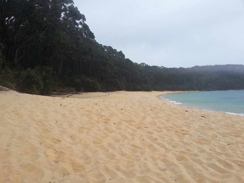 16Refuge CoveA secluded white-sand cove reached by foot or boat.
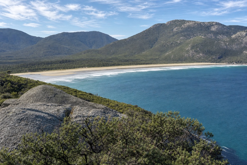 17Pillar PointA granite headland above Norman Bay, Squeaky Beach and offshore islands.
 18Tidal OverlookA rocky circuit with far-reaching views across the bays.
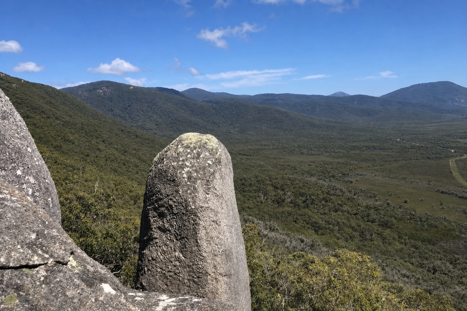 19Vereker OutlookBalanced boulders and big inlet views reward a steep walk.
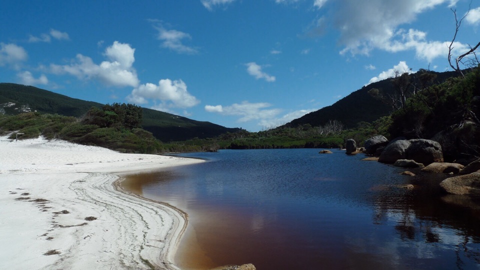 20Little Waterloo BayWhite sand, granite boulders, and a real hike to get here.
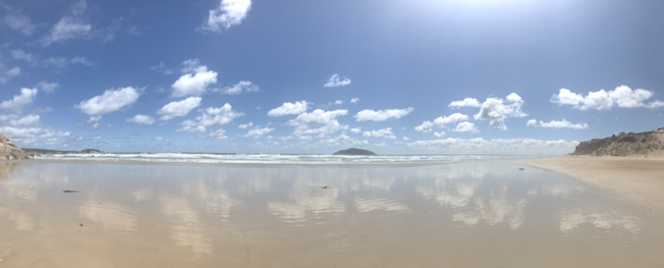 21Darby BeachA short sandy walk opens onto a beach between rocky headlands.
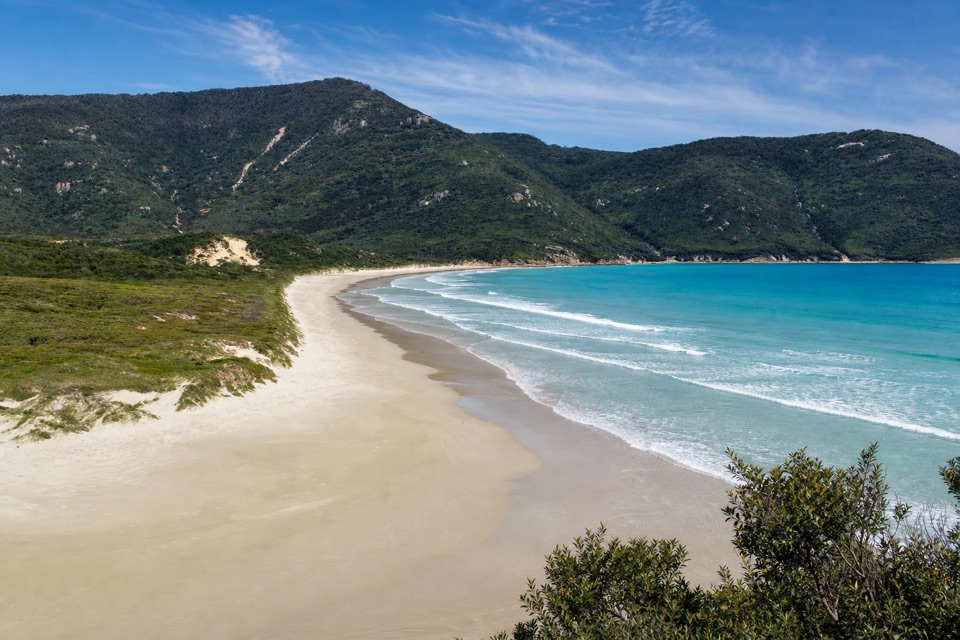 22Oberon BayLong sand, granite slopes and a bay that's worth hiking for.
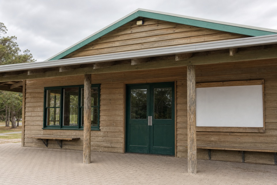 Tidal River General StoreA practical top-up and takeaway stop in the main campground.
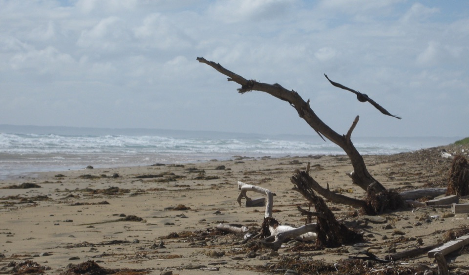 23Cotters BeachA dry lake basin walk opens onto an exposed west coast.
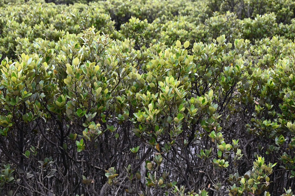 24Millers LandingA 4 km woodland walk to the world's southernmost mangroves.
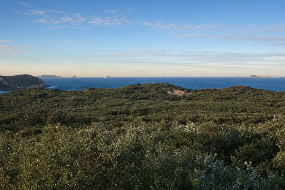 25Glennie LookoutA roadside pause for rugged coast and the offshore islands.
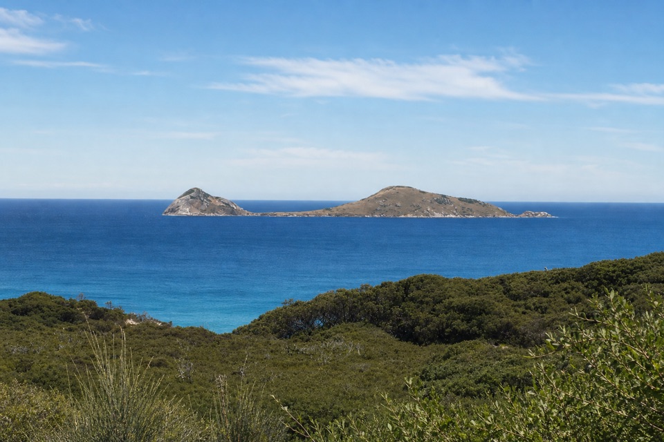 26Norman LookoutIsland views without a hike on the way to Tidal River.
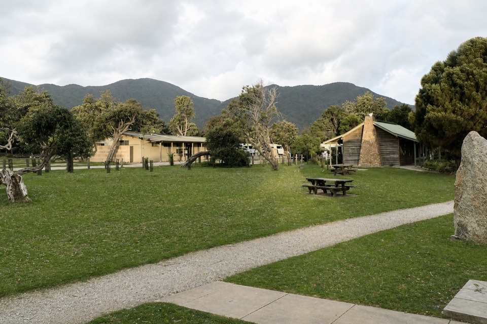 Tidal River AccommodationRoofed stays at the hub, with Norman Beach a short walk away.
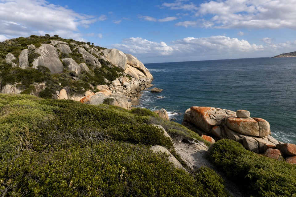 27Sparkes LookoutA forest climb to coastal views of Rodondo Island and Shallow Inlet.
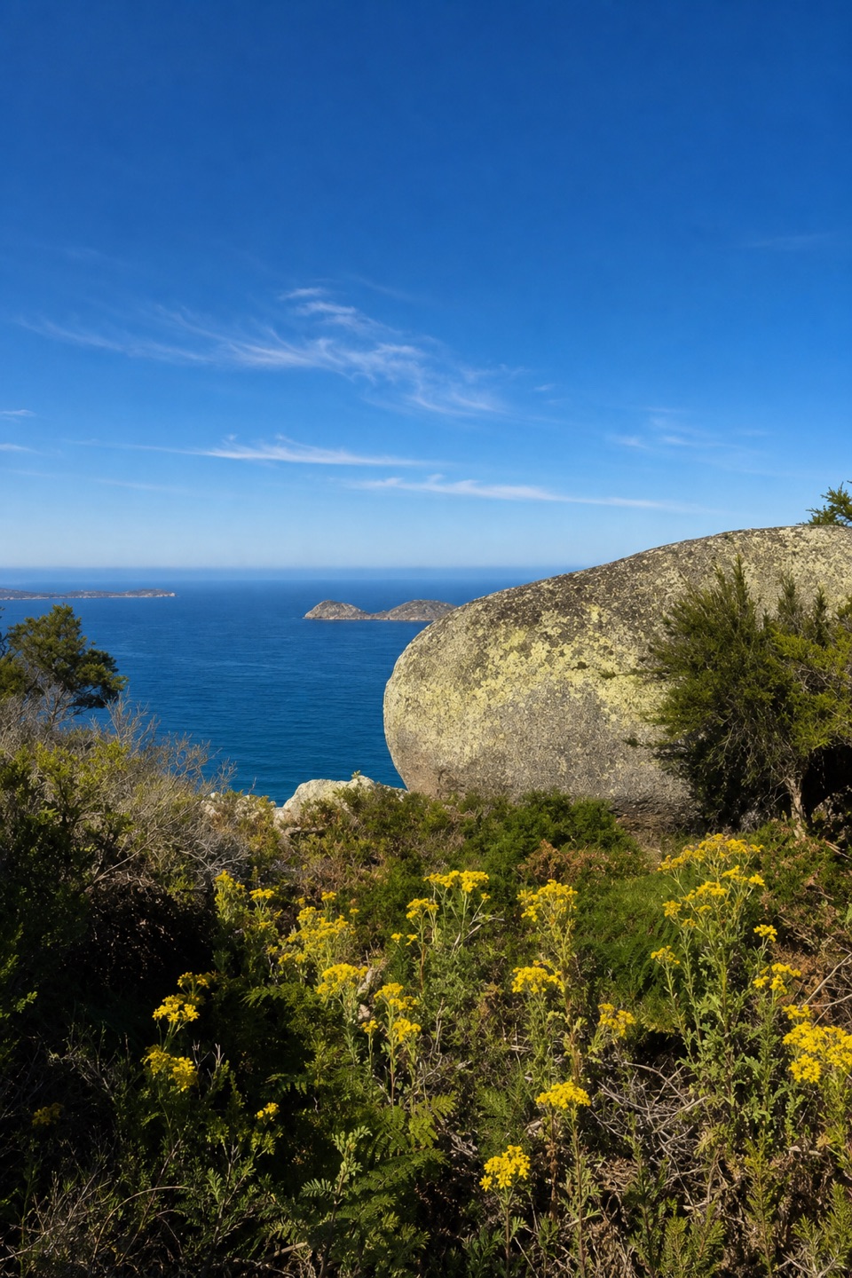 28Lookout RocksThe steep climb pays off with Norman Island and Tongue Point below.
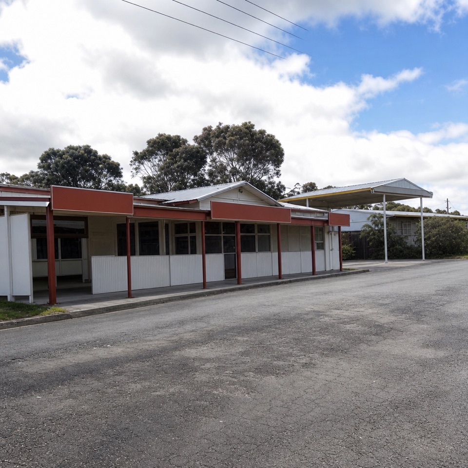 Yanakie General StoreGet fuel, groceries, bait and takeaway before driving in.Sealers Cove Camping AreaA beachside camp reached by a 10-kilometre walk.Little Waterloo Bay Camping AreaA backcountry camp beside white sand and clear water.
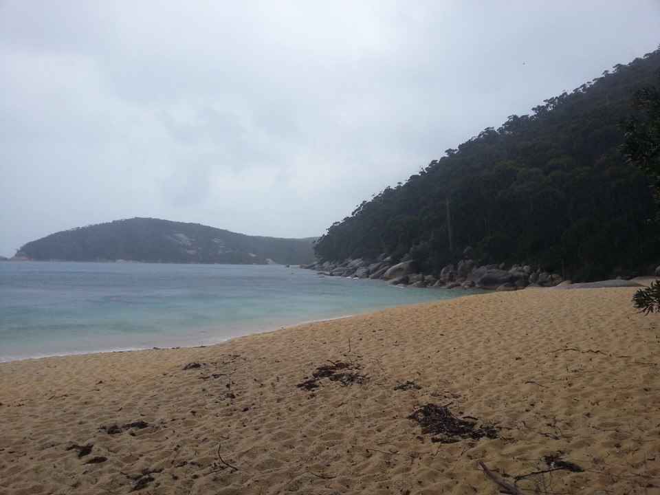 Refuge Cove Camping AreaA secluded cove camp reached by walking track or boat.
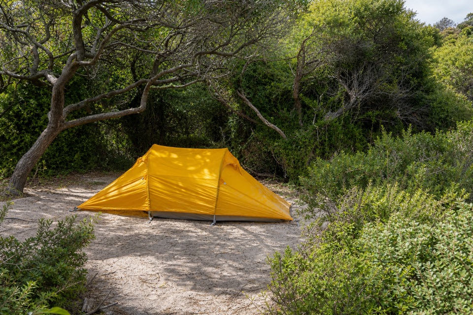 Oberon Bay Camping AreaA quiet bush camp within a short walk of the beach.
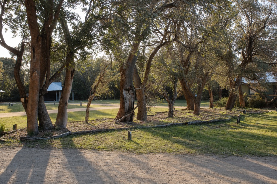 Stockyard Picnic AreaA leafy picnic pause by the northern entrance.
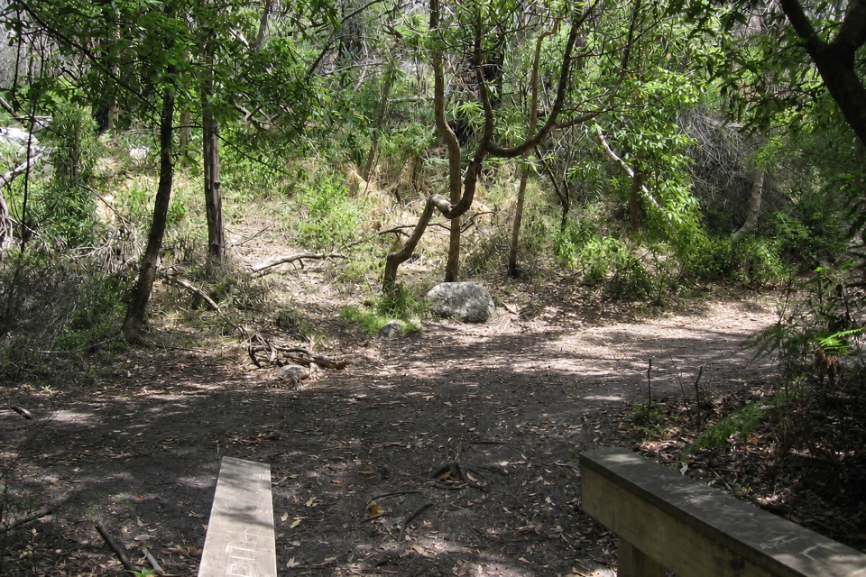 Roaring Meg Camping AreaA fern-gully camp for a long walk to South Point.
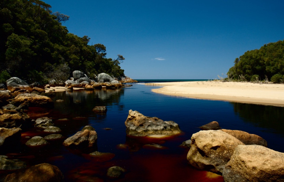 Five Mile Beach Camping AreaA remote coastal camp at the end of an 18 km hike.
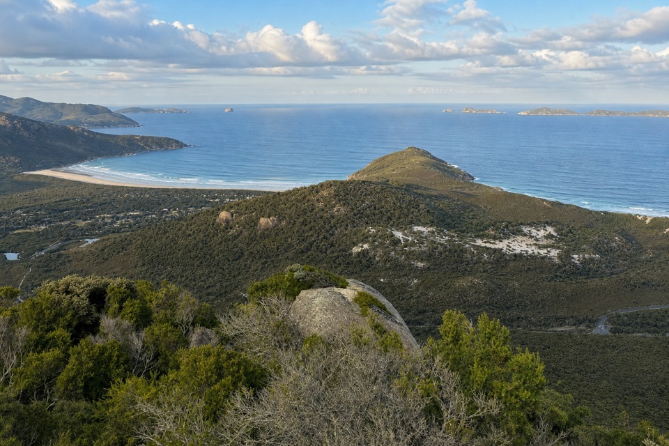 Tin Mine Cove Camping AreaA remote overnight camp for skilled walkers on the northern coast.
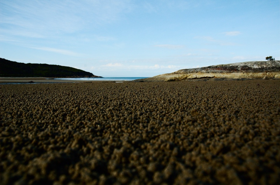 Johnny Souey Cove Camping AreaA remote coastal night for hikers ready to navigate.
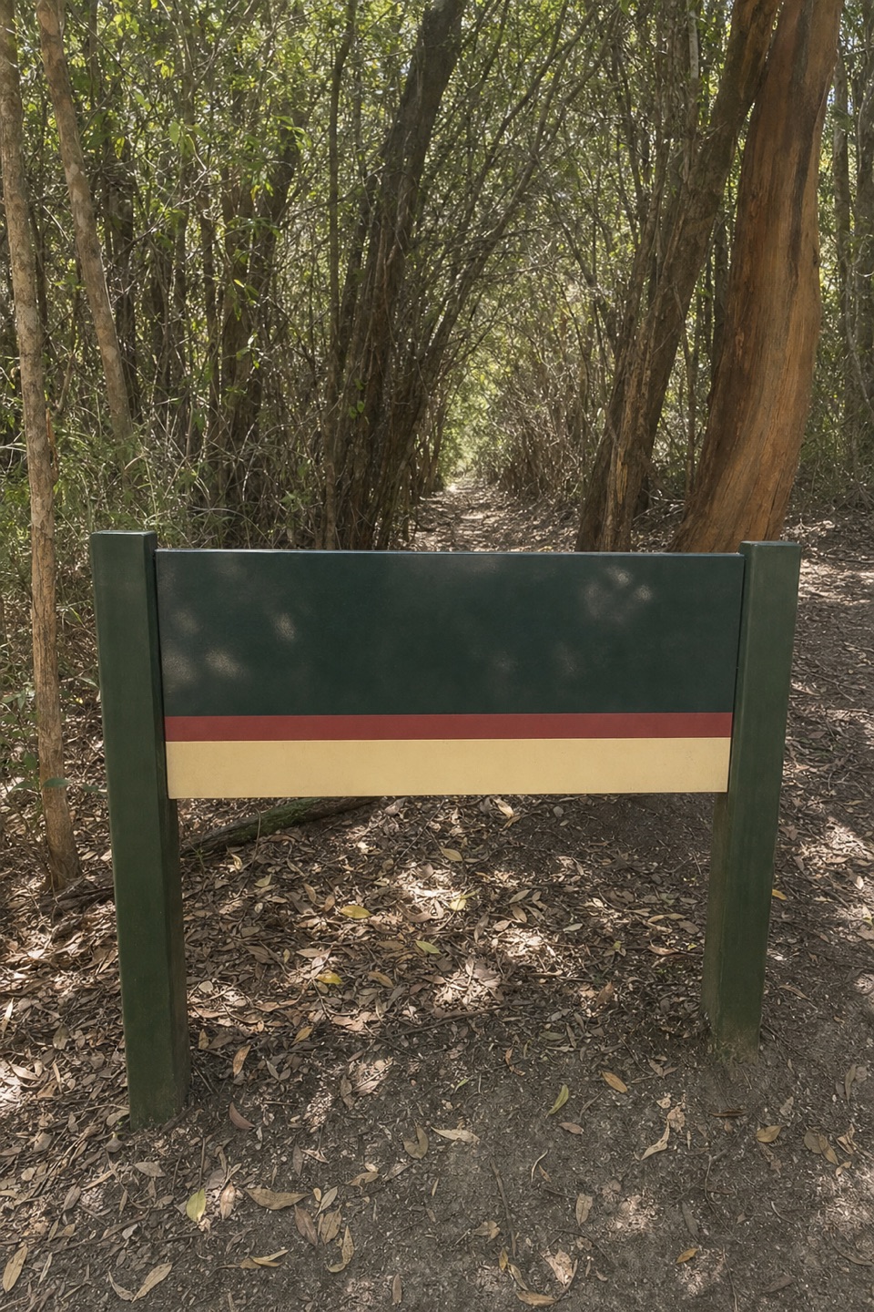 Halfway Hut Hike-in Camping AreaA quiet bush camp beside a hut built for telegraph linesmen.
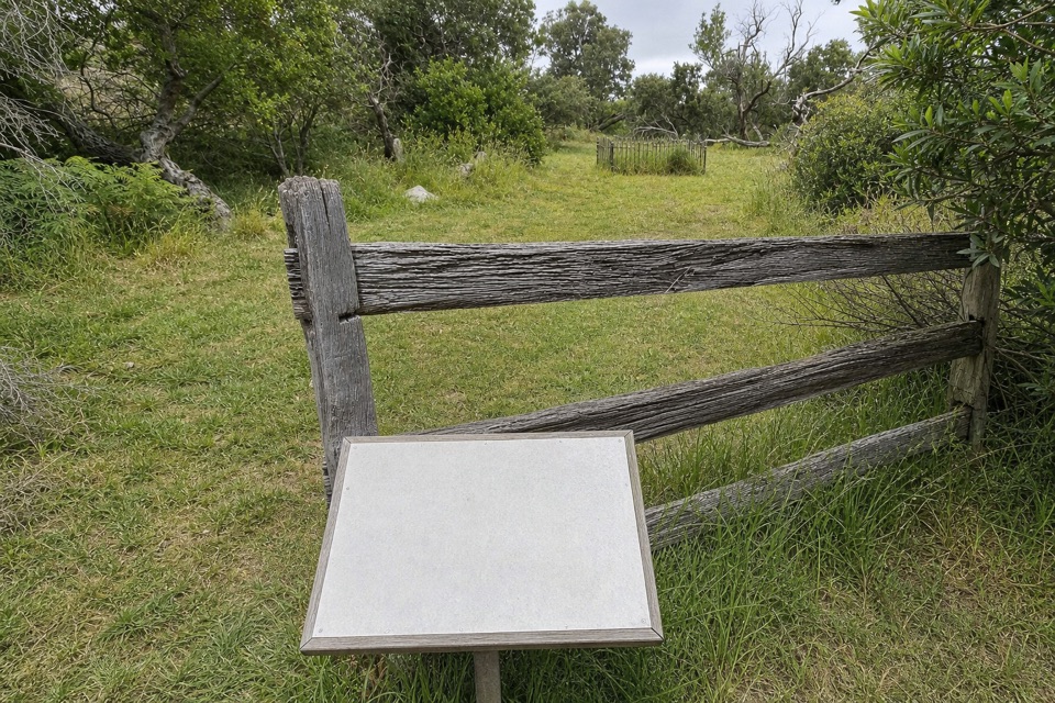 29Yanakie CemeteryA short walk to five graves from the Prom’s early settlement.
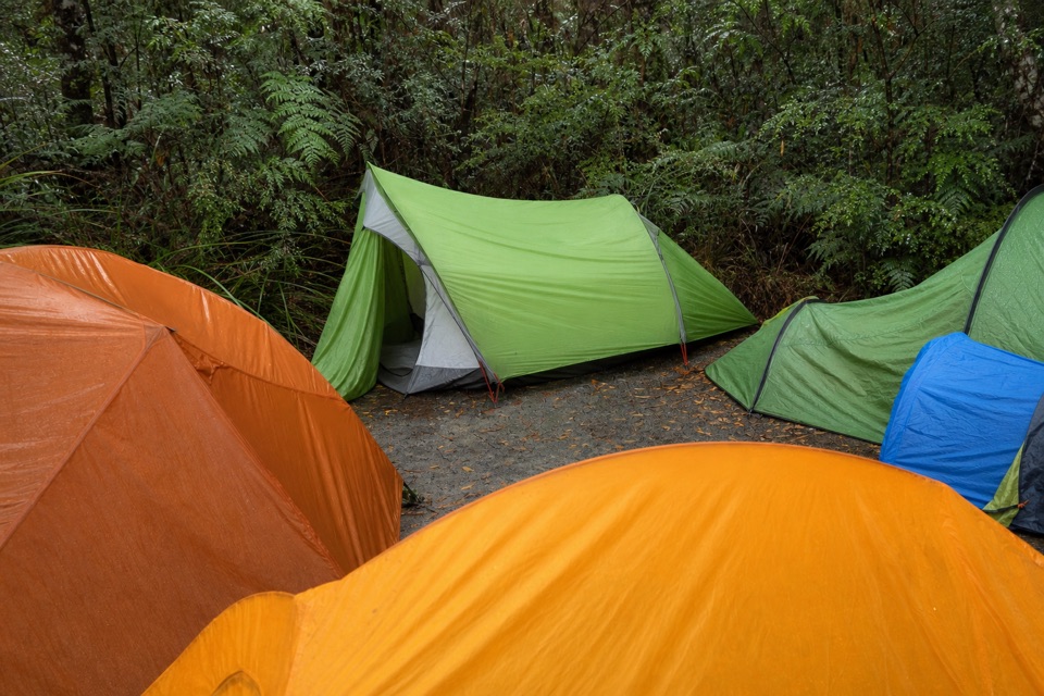 Barry Creek CampsiteA remote, permit-required camp for confident backcountry hikers.
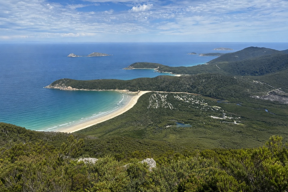 Lower Barry Creek Camping AreaA no-frills overnight stop on a demanding northern wilderness circuit.
The highest, rockiest slopes around here are a summer buffet for grizzly bears.
Wilsons Promontory Tour Guide
Wilsons Promontory, narrated.
Parkwolf is a GPS audio tour guide for Wilsons Promontory National Park. As you drive, it chimes in with what’s ahead: hidden gems, upcoming stops, history, geology, and wildlife, right through your car’s speakers.
Recorded for this place
Squeaky Beach and Its Singing Sand0:00 / 0:30
“You're approaching Squeaky Beach, where the sand really does make a high-pitched squeak beneath your feet.”
Plays as you drive up to Squeaky Beach in the Parkwolf Wilsons Promontory Tour Guide.
More stories near here in the app
- Norman and Glennie Lookouts
- Tidal River Footbridge and Tidal Overlook
- Lilly Pilly Gully and Mount Bishop
- Picnic Bay Rock Pools
- 22 audio storiesacross Wilsons Promontory’s roads, triggered by GPS as you drive
- Wildlife heatmapsfor Wedge-tailed Eagle, Koala, Bare-nosed Wombat, and 13 more
- Works offlinemaps, 36 trails, 46 places, and audio download before you lose signal
- CarPlay readysimple controls built for the drive
“Fantastic app with many points of information… It’s great to just turn on while you’re driving and it gives you an audio tour of the national Park. We love it!!!!”

