
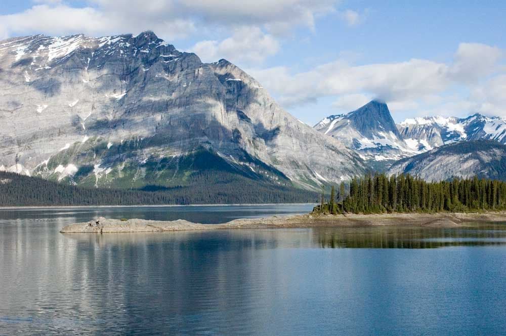
All Peter Lougheed trails
66 trails
 1Rawson Lake TrailLakeshore, falls, then a steady climb to a mountain-ringed lake.
 2Ptarmigan Cirque Interpretive TrailA steep climb to a flowered alpine bowl below Mount Rae.
 3Burstall Pass TrailLarch meadows lead to a limestone pass above the Spray River Valley
 4Chester Lake TrailA steady climb through larch meadows to a high alpine lake.
 5Upper Kananaskis Lake LoopWaterfalls, forest and a long walk around a mountain lake.
 6Sarrail Ridge via Rawson LakeThe lake is the breather before a loose, steep ridge climb.
 7Arethusa Cirque TrailA braided alpine loop with larches, creek crossings, and cirque views.
 8Elbow Lake TrailA steep old road climbs to an alpine lake.
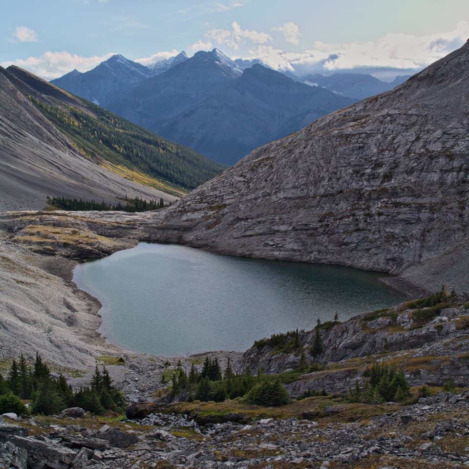 9Headwall Lakes TrailTwo alpine lakes and a waterfall reward the long approach.
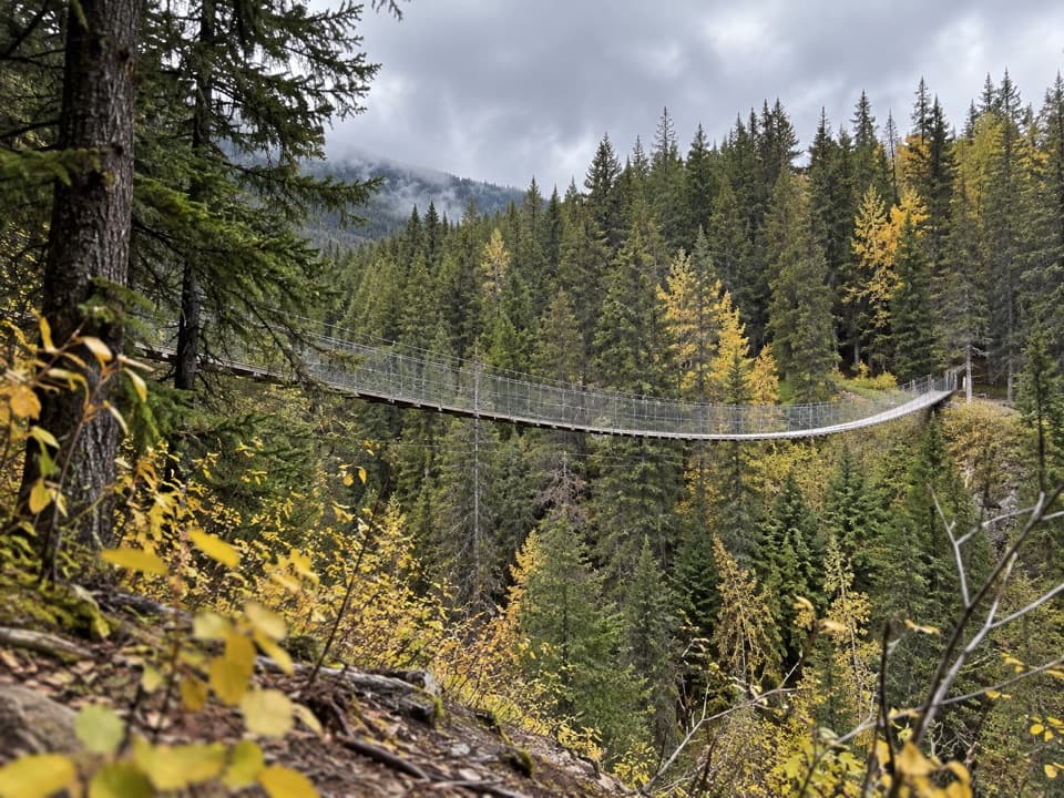 10Black Shale Suspension Bridge TrailA forest walk builds to a 73 m suspension bridge.
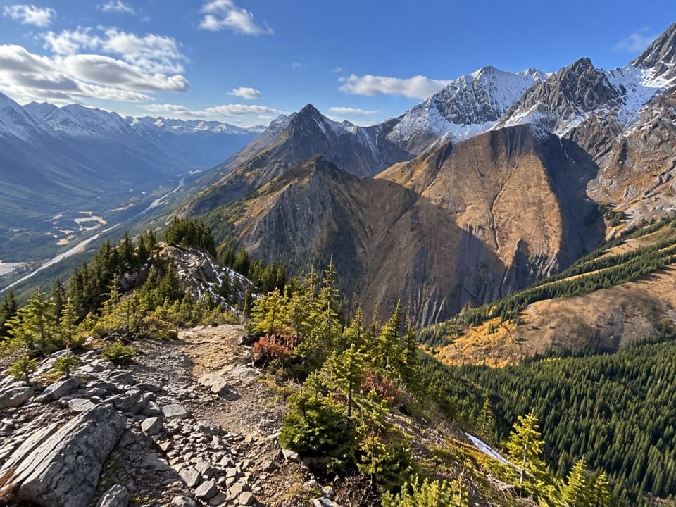 11King Creek Ridge TrailA steep ridge climb opens wide views over the Kananaskis Lakes.
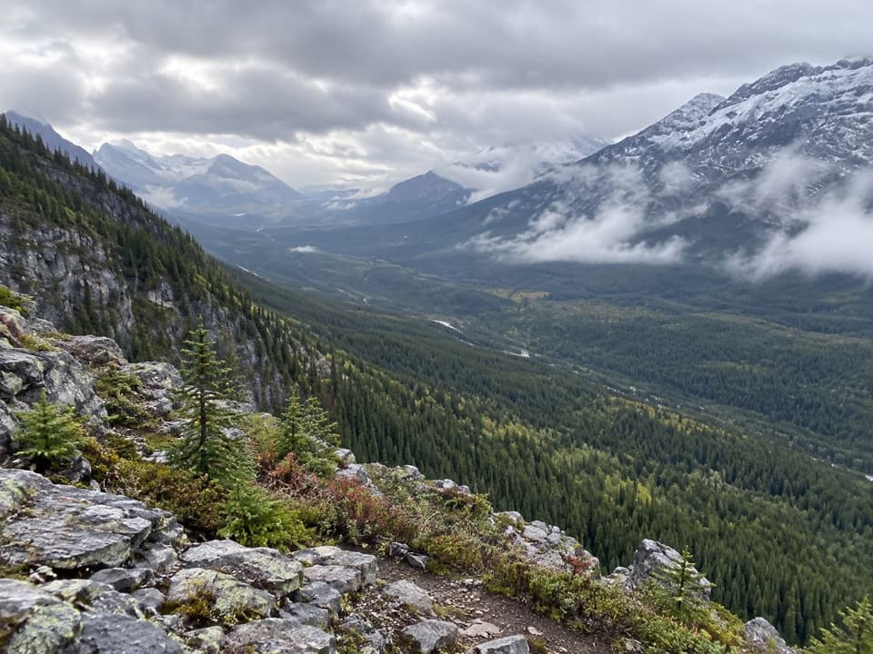 12Grizzly Peak TrailShort, steep climb with one scrambly step and a wide summit view.
 13Three Isle Lake TrailA long forest hike climbs to a lake beneath Mount Worthington.
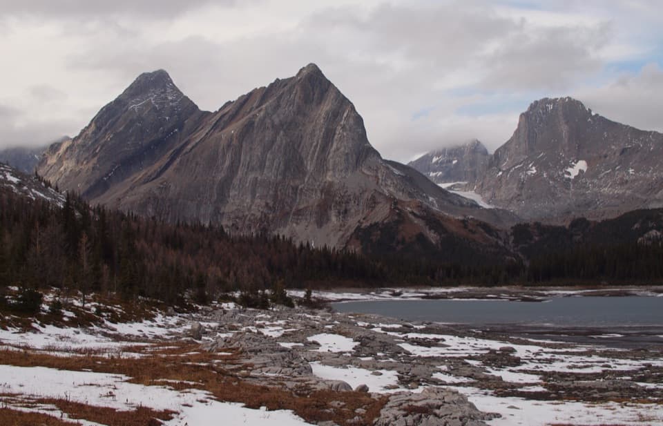 14North Kananaskis Pass via Maude-Lawson TrailA long climb through larch meadows to a remote Continental Divide pass.15Turbine Canyon TrailA long lakeshore approach climbs to a forested backcountry camp.
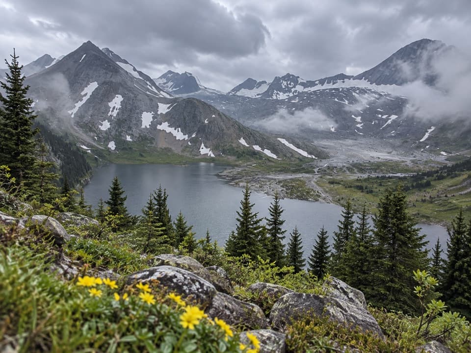 16Aster Lake TrailA full-day climb from forested shoreline to an alpine lake.
 17Northover Ridge LoopA strenuous alpine loop with exposed scrambling and big lake views.
 18Edworthy Falls via Elbow Lake TrailElbow Lake first, then a gentler valley walk to Edworthy Falls.
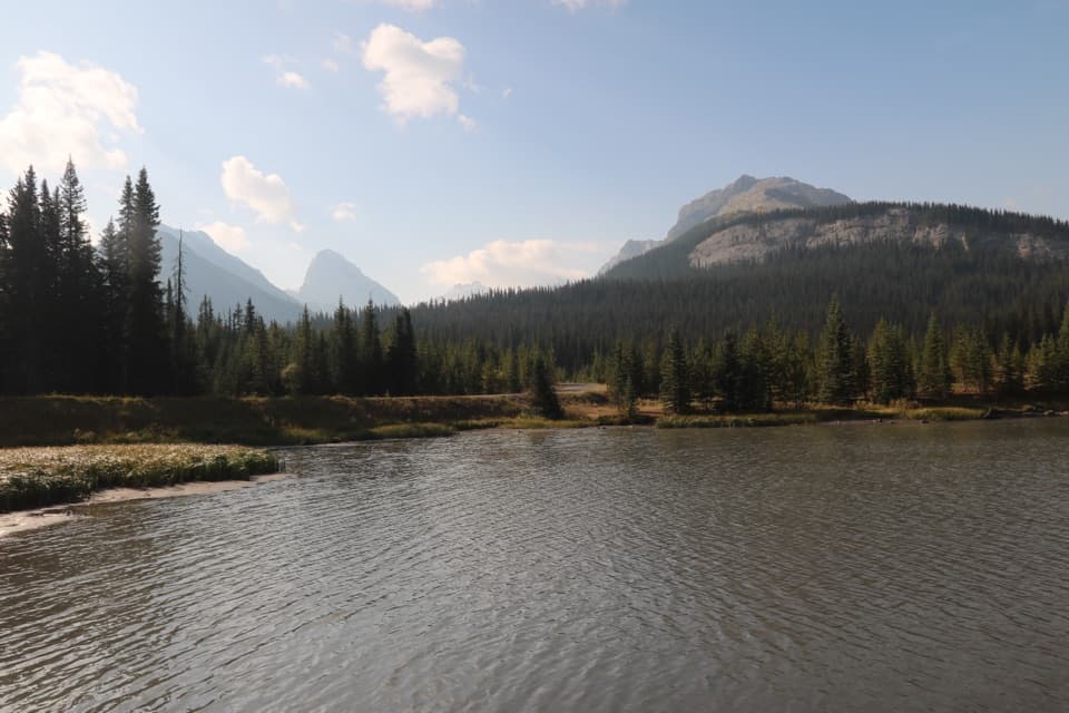 19Hogarth Lakes LoopAn easy winter loop among forest lakes and Commonwealth Peak views.
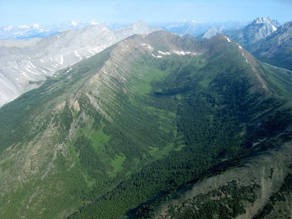 20Grizzly Ridge TrailLarches, a mountain tarn and a short scramble open onto wide views.
 21Highwood Ridge TrailA steep scramble across two peaks above Highwood Pass.
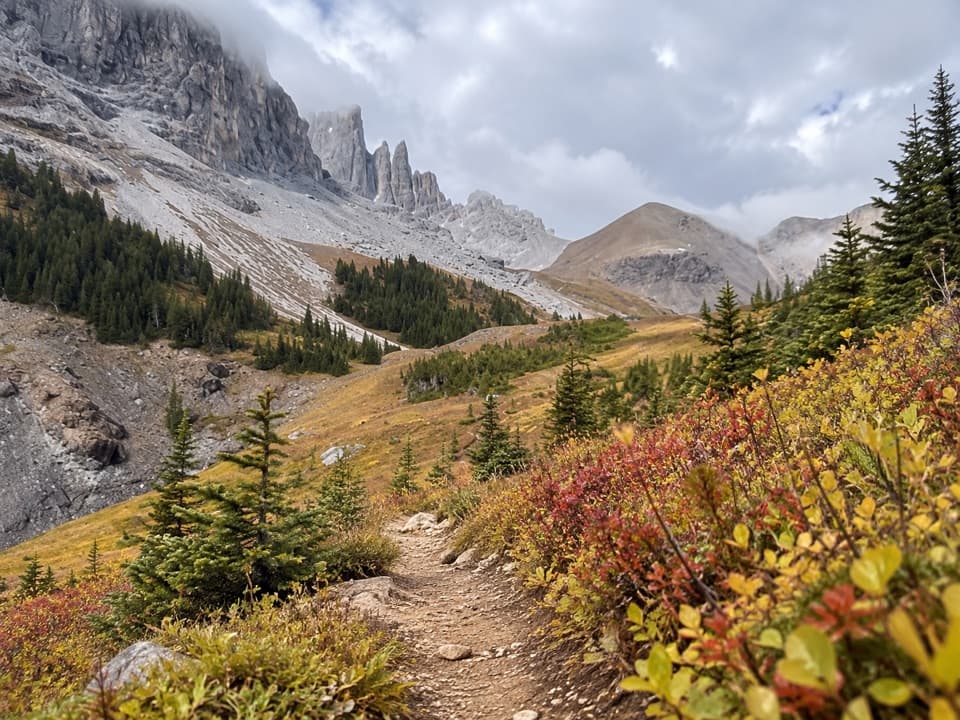 22Piper Pass TrailA long climb from Elbow Lake to an exposed alpine pass.
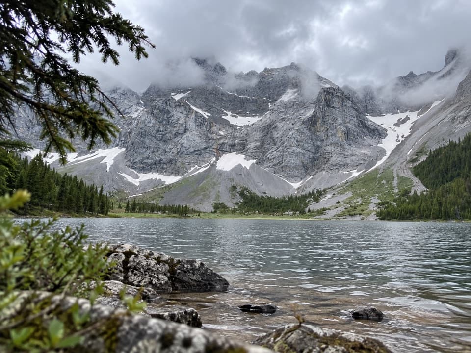 23Rae Lake TrailA long, unsigned branch to a lake beneath Mount Rae.
 24Black Prince Lakes TrailCairns lead beyond Warspite Lake to an unsigned alpine cirque.
 25Rae Glacier TrailA rugged, unsigned climb to Rae Glacier’s rocky basin.
 26South Kananaskis Pass TrailA short backcountry spur to the Alberta–B.C. divide.
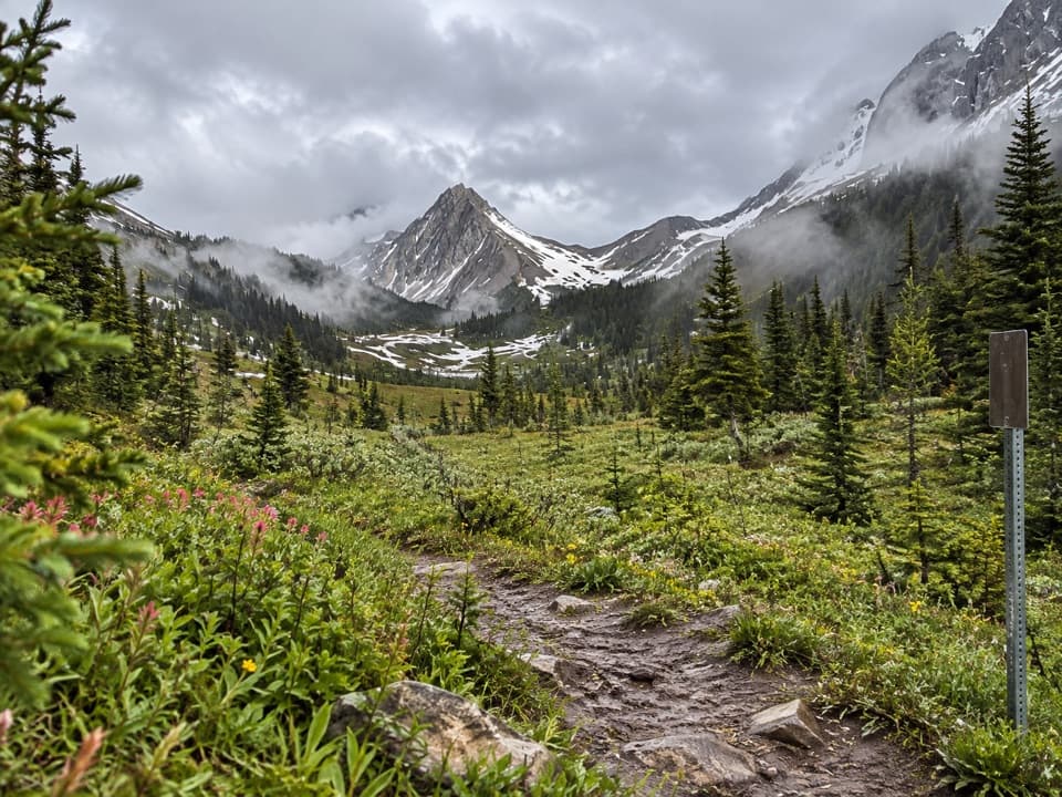 27North and South Kananaskis Pass Loop43 km loop over two passes, alpine lakes and rough creek crossings28Great Divide Trail: Elk Pass to North Kananaskis PassA long lakeshore approach climbs through Turbine Canyon to a high pass.
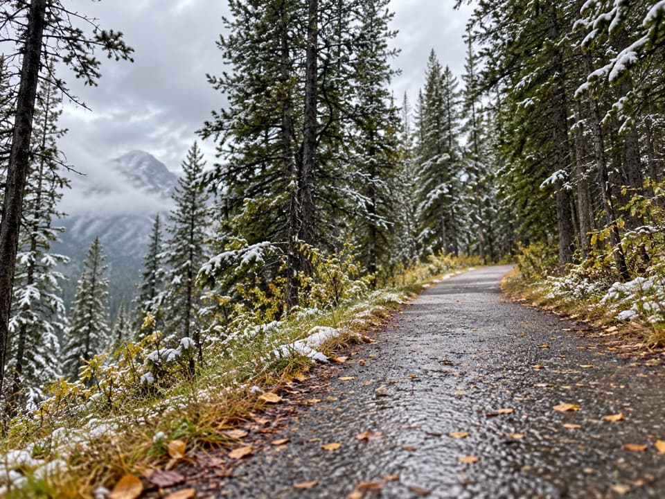 29High Rockies Trail (Peter Lougheed Section)A forested High Rockies traverse from Lower Kananaskis Lake to Elk Pass.
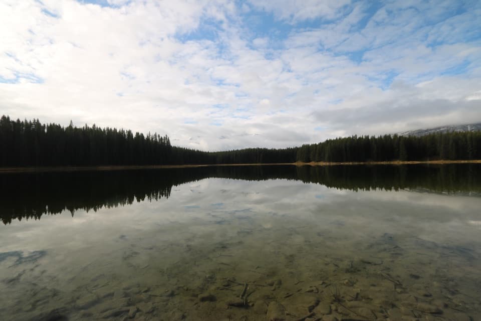 30Marl Lake Interpretive TrailA short forest-and-wetland loop to Marl Lake’s mountain-framed shore.
 31Highwood Meadows TrailA barrier-free boardwalk through a fragile alpine meadow at 2,200 m.
 32Lower Lake TrailA shoreline walk with Spray Range views across Lower Kananaskis Lake.
 33Bill Benson TrailA short barrier-free walk to a peninsula on Lower Kananaskis Lake
 34Lookout TrailA forest approach reaches a steep climb and panoramic fire lookout.
 35South Lawson Peak TrailA steep forest climb opens onto a rocky ridge above two lakes.
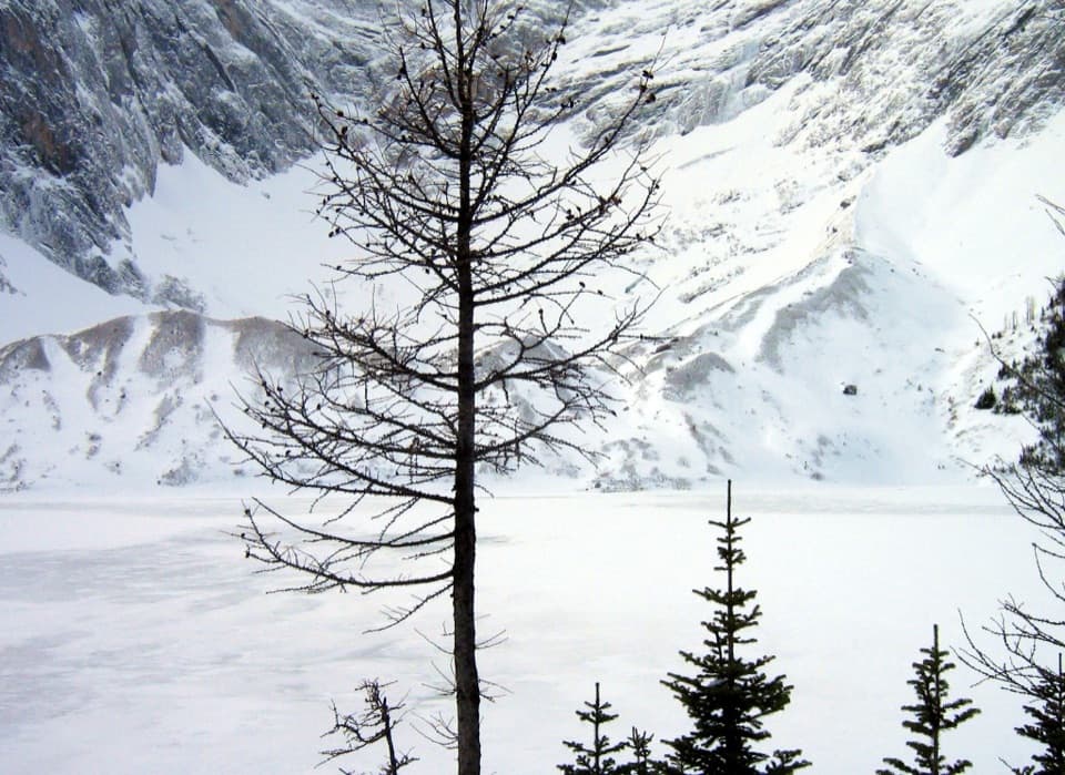 36Frozen Lake via Elk PassAn alpine lake beneath Mount Fox, reached beyond the maintained pass trail.
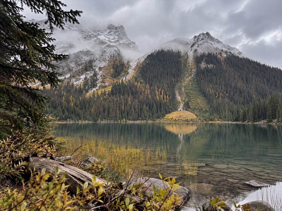 37Burstall Lakes TrailFind the lakes in the flats before the pass climbs steeply.
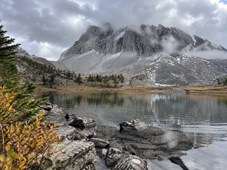 38Three Lakes Valley TrailThree tarns and a cairned climb below Gusty Peak.
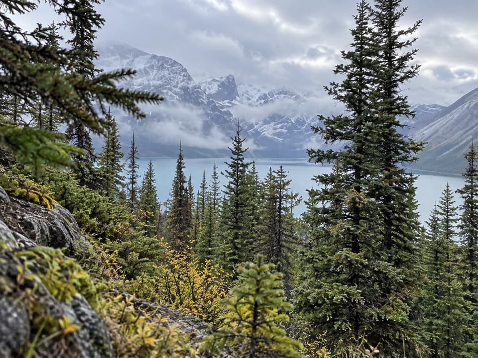 39Blueberry Hill TrailA steep snowshoe climb to views over two mountain lakes.
 40Elk Pass TrailA gradual old road climbs to a meadow at West Elk Pass.
 41Penstock Loop Snowshoe TrailA winter loop with waterworks history and wide lake views.
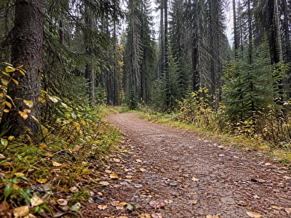 42Whiskey Jack TrailA steep one-way climb links Boulton with the Lookout and Pocaterra trails.
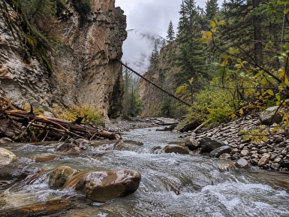 43King Creek Canyon TrailRocky creek crossings in a short, high-walled canyon
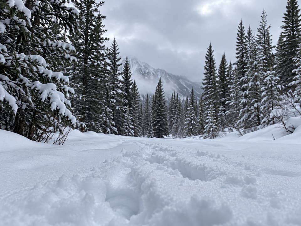 44Gypsum Ridge TrailA steep, unsigned ridge climb to wide views over the Kananaskis Lakes.
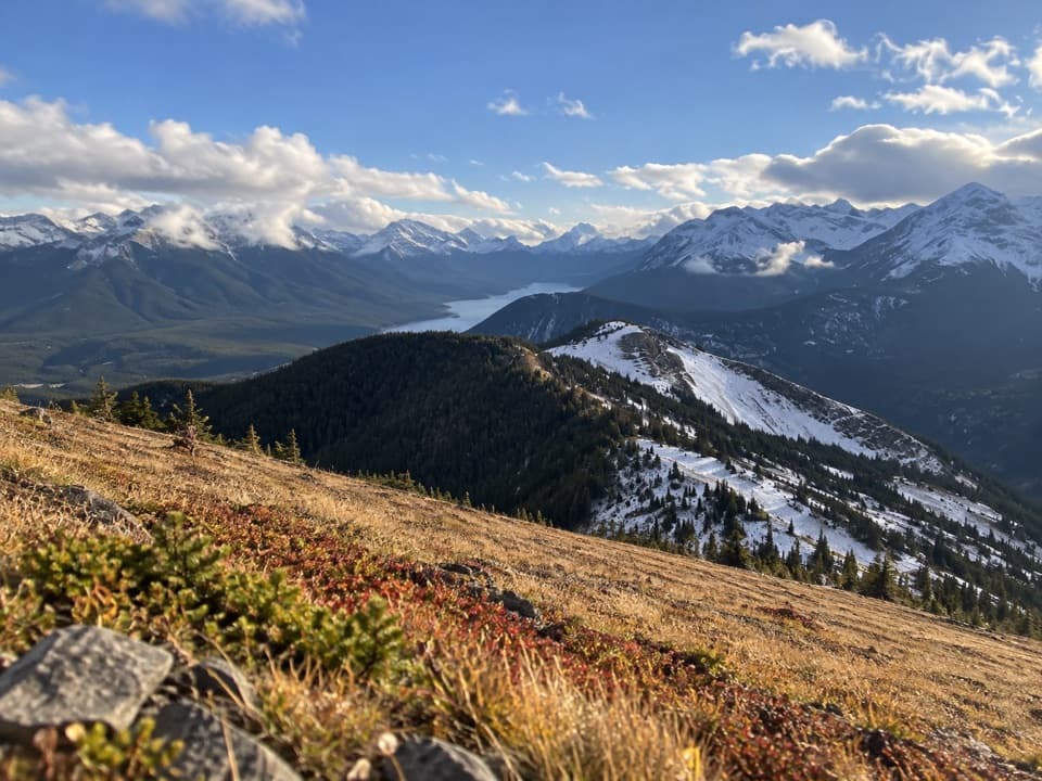 45Kent Ridge South TrailTwo south-ridge summits, a tough climb, and lakes below.
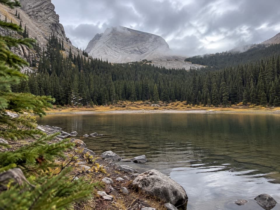 46James Walker Creek TrailA creek valley hike to tarns, falls, and a steep alpine basin.
 47Little Highwood Pass TrailA tarn breaks up the climb to a pass above the cirques.
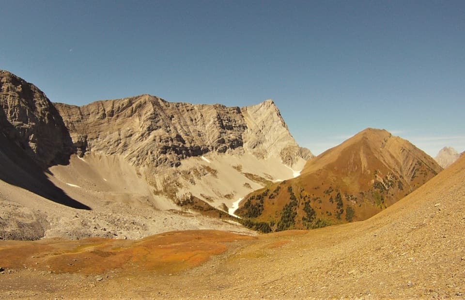 48Grizzly Col TrailA rugged climb through Pocaterra Cirque to the saddle below Grizzly Ridge
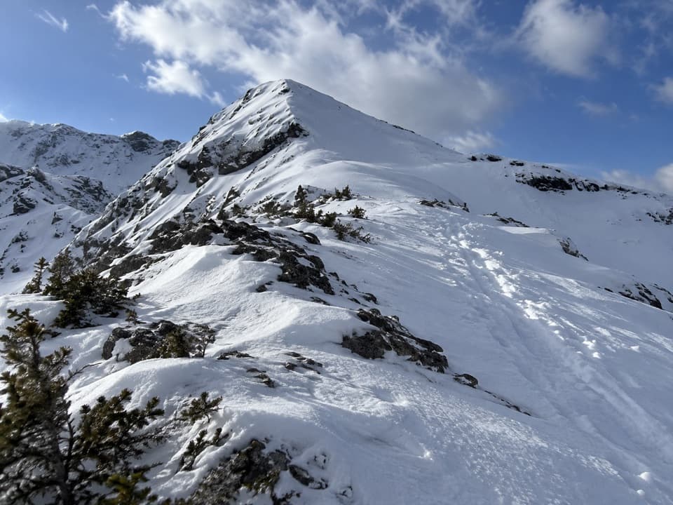 49Blacksmith Ridge Trail via Smith-Dorrien CreekA steep climb with a hidden fork and an open ridge.
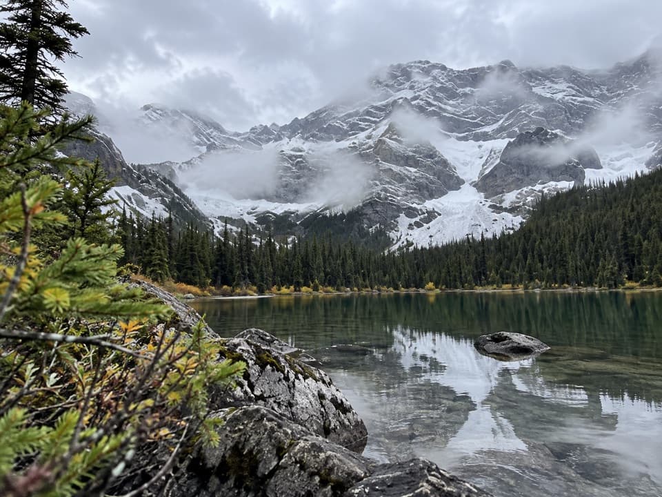 50Warspite Ridge TrailA steep, hands-on climb to the ridge above Warspite Lake.
 51Little Arethusa TrailA steep scree climb ends on a tiny exposed summit ridge.
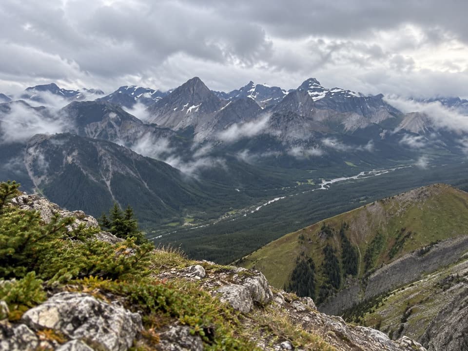 52Kent Ridge North SummitA steep, faint loop to Kent Ridge North’s 2,923-metre summit.
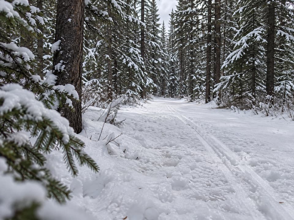 53Spruce Road TrailA short paved forest loop beside William Watson Lodge.
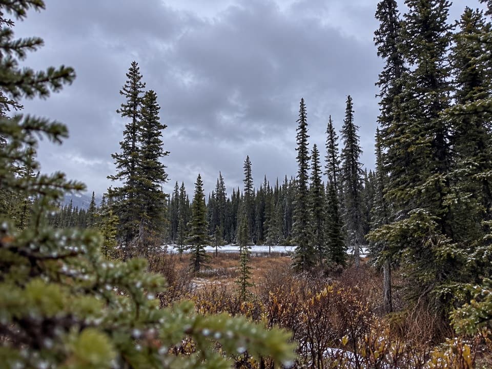 54Lower Lake Interpretive TrailA short accessible path through mature subalpine forest.
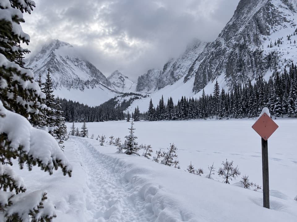 55Chester Lake Snowshoe TrailSnowshoe through forest to a lake beneath a wall of peaks.
 56Elk Pass Snowshoe TrailA winter snowshoe route from Elk Pass Day Use to the pass.
 57Elkwood Loop Snowshoe TrailA short snowshoe loop to Marl Lake's wooded shoreline
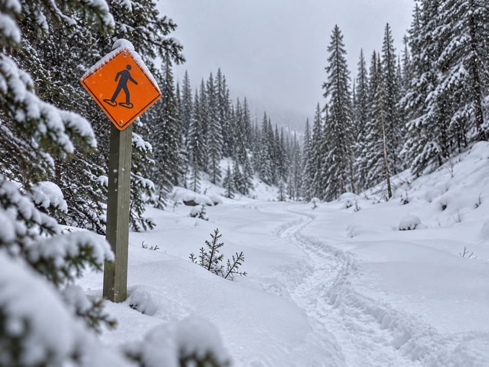 58Sawmill Loop Snowshoe TrailA snowy creekside loop through quiet Kananaskis forest.
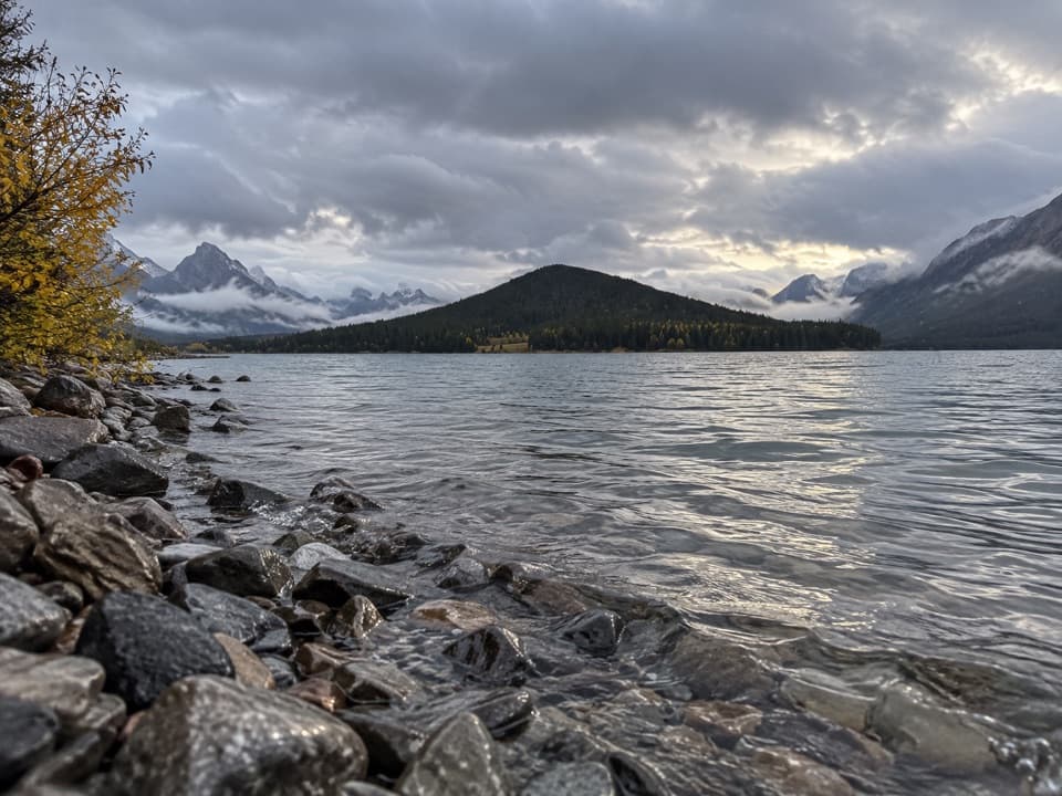 59Lower Lake Snowshoe TrailAn easy snowshoe along Lower Lake beneath a wall of peaks.
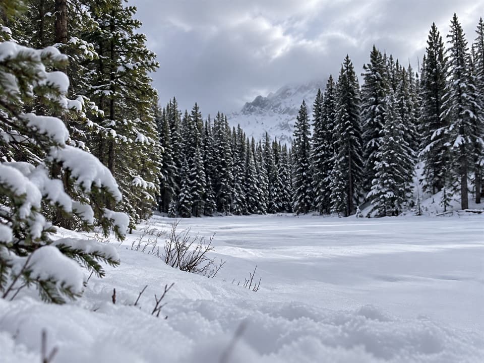 60Frozen Toad Loop Snowshoe TrailSnowshoe through forest, frozen wetlands, and along Marl Lake.
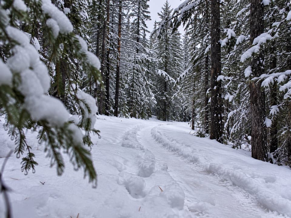 61Torpor LoopA winter loop linking mountain views, a lakeside path and camp loops.
 62South Sawmill LoopA gentle winter loop on Mount Kent's forested west slope.
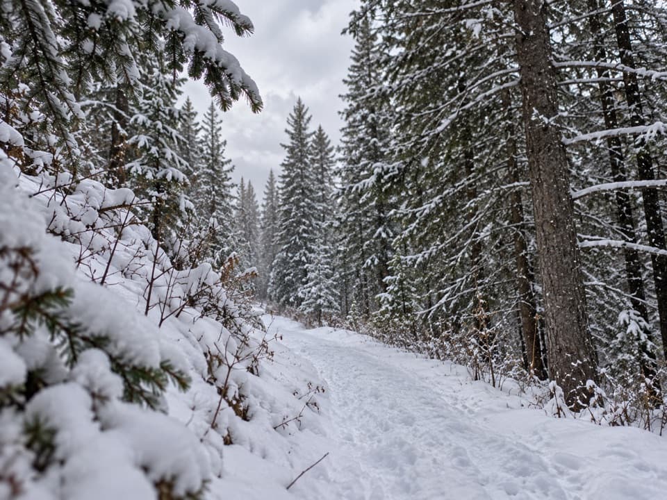 63Canyon Snowshoe TrailA low-climb link to Lower Lake and Penstock winter trails.
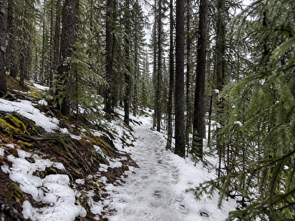 64Marsh Loop Snowshoe TrailA short, gentle winter loop in the marshland near Lower Lake.
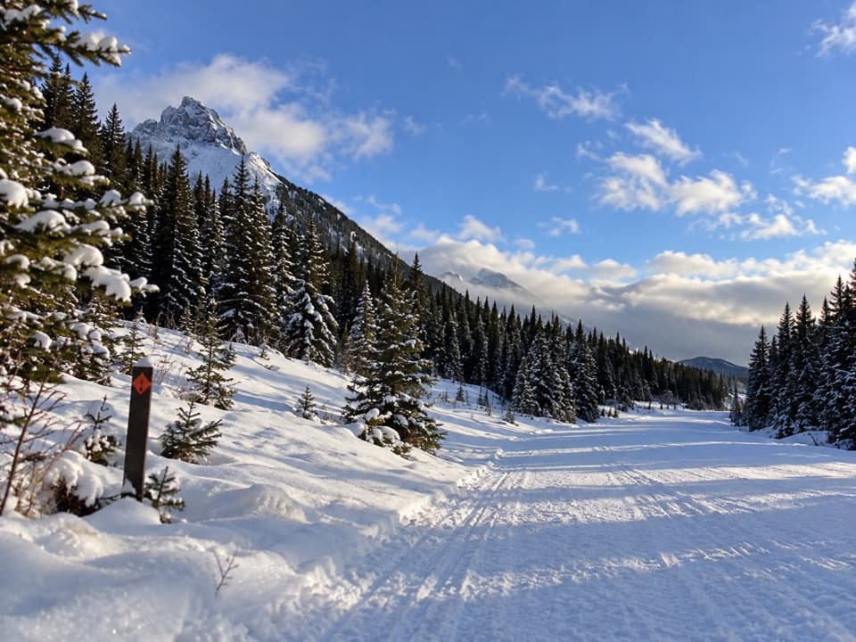 65Wintour Snowshoe TrailSnowshoe a 5.1 km winter road corridor with mountain views.
 66Invincible Lake TrailA steep ridge crossing to a lake hidden behind a grassy rise.

The highest, rockiest slopes around here are a summer buffet for grizzly bears.
Peter Lougheed Tour Guide
Peter Lougheed, narrated.
Parkwolf is a GPS audio tour guide for Peter Lougheed Provincial Park. As you drive, it chimes in with what’s ahead: hidden gems, upcoming stops, history, geology, and wildlife, right through your car’s speakers.
See the Peter Lougheed audio tourRecorded for this place
Highwood Pass and the Meadow Walk0:00 / 0:32
“Up ahead is Highwood Pass, on Canada's highest paved road. The mountain view starts at the parking area, so this is a stop I'd keep even if you're skipping the big hikes.”
Plays as you drive up to Highwood Pass Day Use in the Parkwolf Peter Lougheed Tour Guide.
More stories near here in the app
- Arethusa Cirque: Meadow and Sea Fossils
- Rock Glacier: A Short Walk and Pikas
- A Grouse Inside the Snow
- How Frost Breaks a Mountain
- 41 audio storiesacross Peter Lougheed’s roads, triggered by GPS as you drive
- Wildlife heatmapsfor Grizzly Bear, Canada Lynx, Black Bear, and 13 more
- Works offlinemaps, 66 trails, 41 places, and audio download before you lose signal
- CarPlay readysimple controls built for the drive
“Fantastic app with many points of information… It’s great to just turn on while you’re driving and it gives you an audio tour of the national Park. We love it!!!!”

