
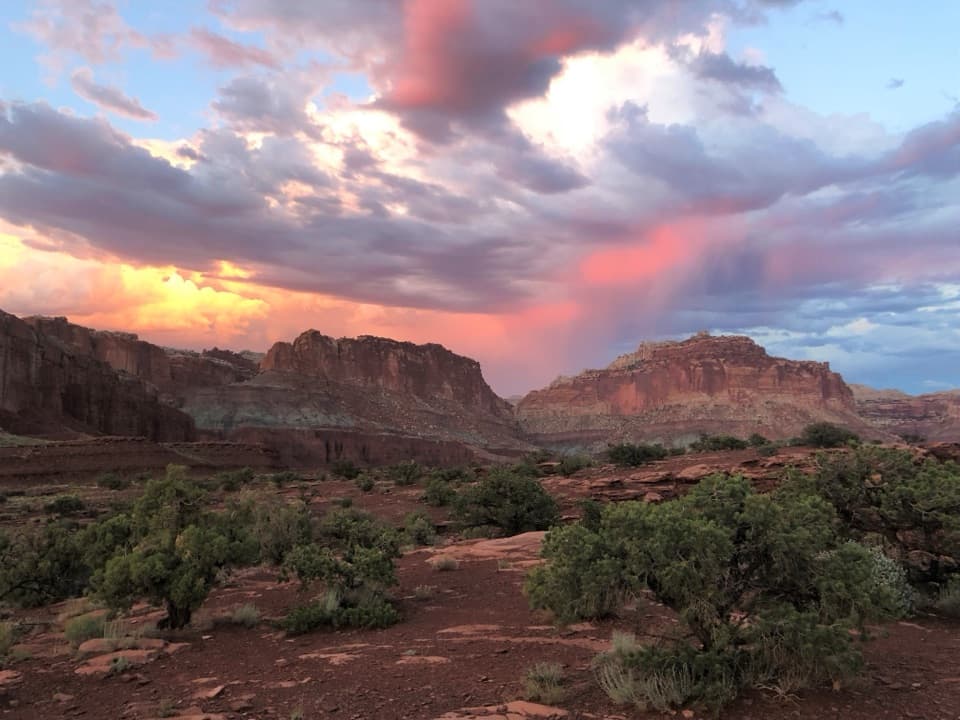
All Capitol Reef trails
48 trails
 1Hickman Bridge TrailA moderate climb to a 133-foot bridge and a loop beneath it.
 2Cassidy Arch TrailA steep climb to a walkable arch above Grand Wash.
 3Grand Wash TrailA gentle wash walk that tightens into shadowed sandstone narrows.
 4Capitol Gorge TrailFollow a sandy gorge to historic names and stone waterpockets.
 5Navajo Knobs TrailA strenuous rim hike to a tiny summit and a huge panorama.
 6Rim Overlook TrailFruita and the Waterpocket Fold spread below this steep rim climb.
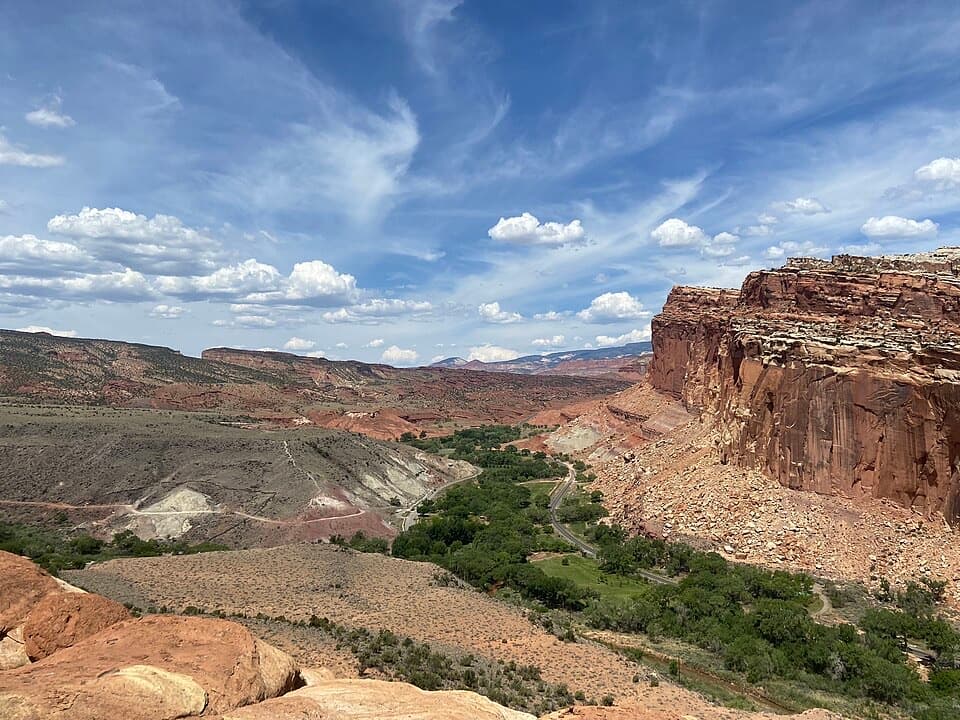 7Cohab Canyon TrailA steep Fruita climb opens into a sculpted sandstone canyon.
 8Sunset Point TrailA short rim walk for sunset over the Waterpocket Fold.
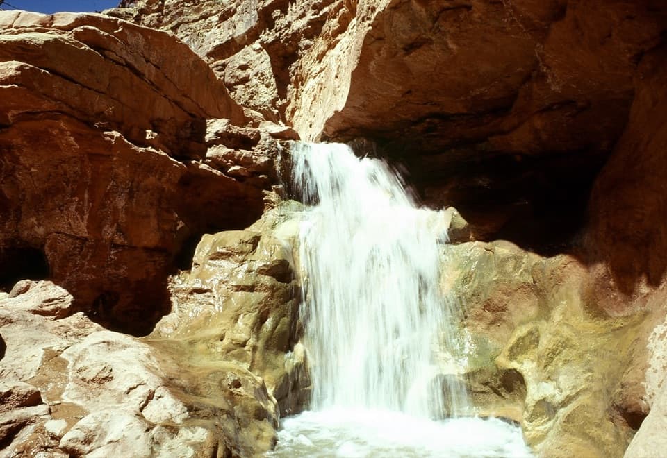 9Sulphur Creek RouteThree waterfalls and creek crossings make this a hands-on canyon hike.
 10Upper Muley Twist CanyonA 9-mile canyon approach to a steep, exposed rim loop.
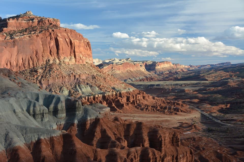 11Chimney Rock LoopA steep climb opens onto Chimney Rock and Waterpocket Fold views.
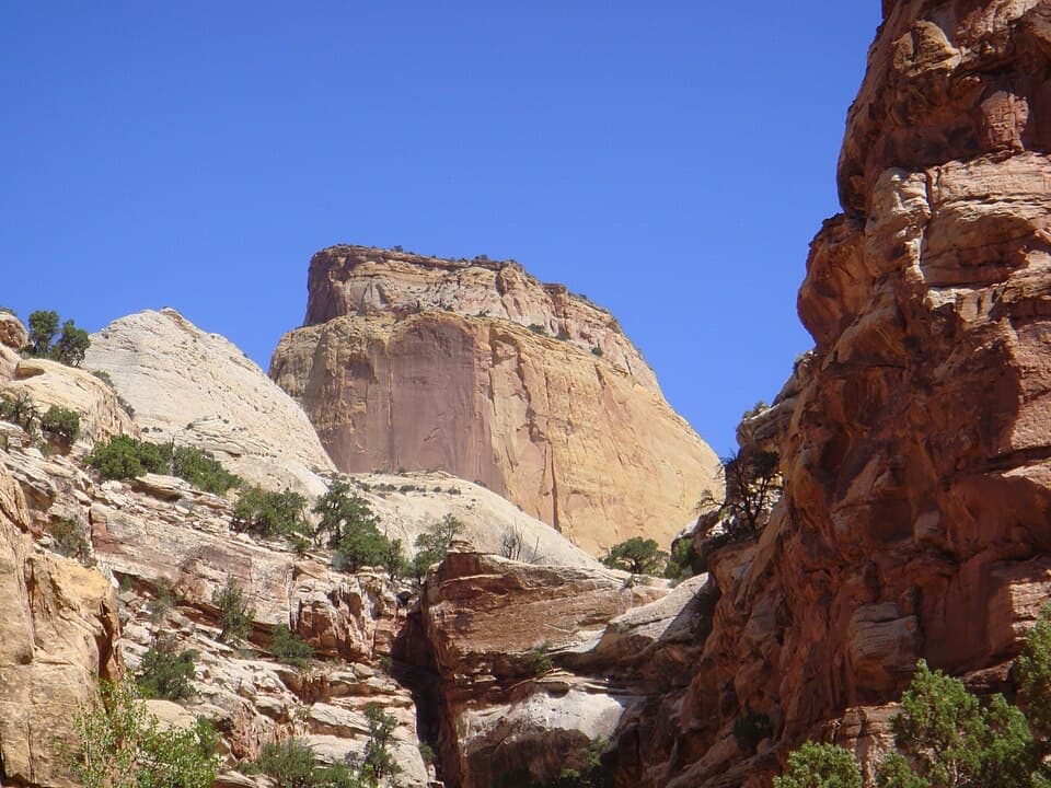 12Golden Throne TrailA strenuous climb to a knoll below Capitol Reef’s Golden Throne.
 13Fremont Petroglyph BoardwalksTwo wooden boardwalks reveal Fremont rock art.
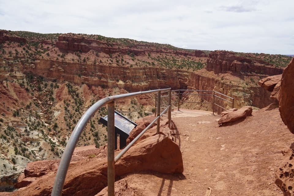 14Goosenecks TrailA short walk to Sulphur Creek’s tight canyon bend.
 15Lower Spring CanyonA long canyon walk with an exposed bypass and river ford.
 16Frying Pan TrailA tough mesa crossing with its best views behind you.
 17Halls Creek NarrowsA remote 22.4-mile backpack through a water-filled sandstone canyon.
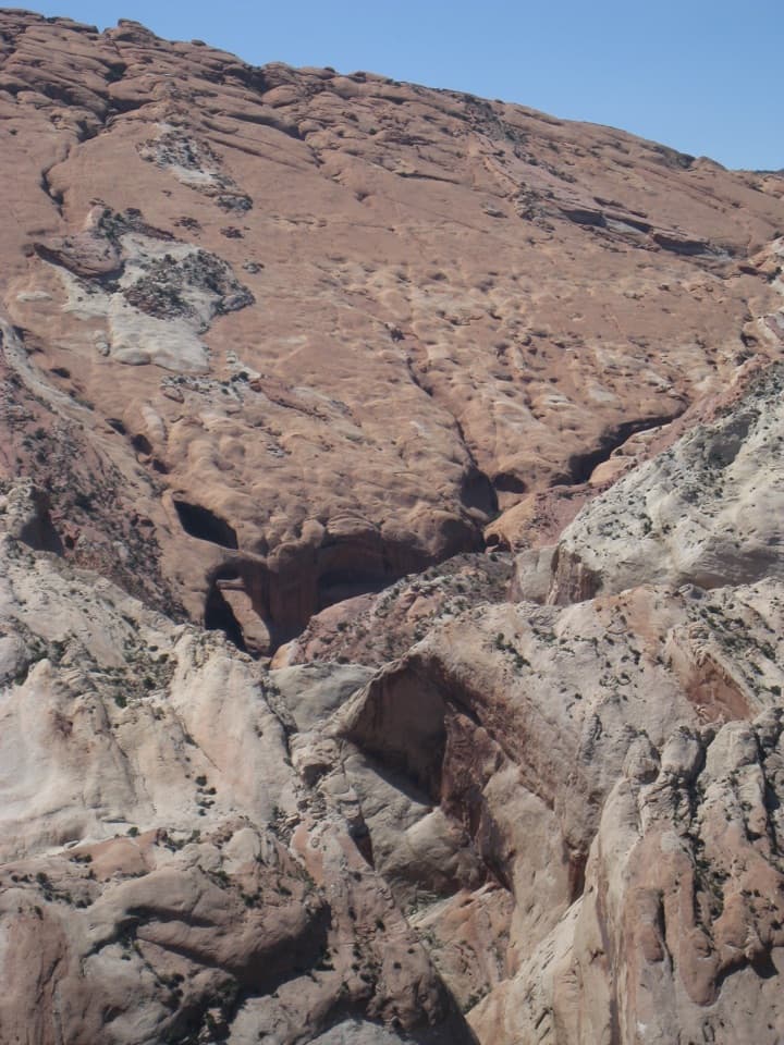 18Brimhall Natural Bridge TrailA 4.6-mile arch hike with a steep return and possible swim.
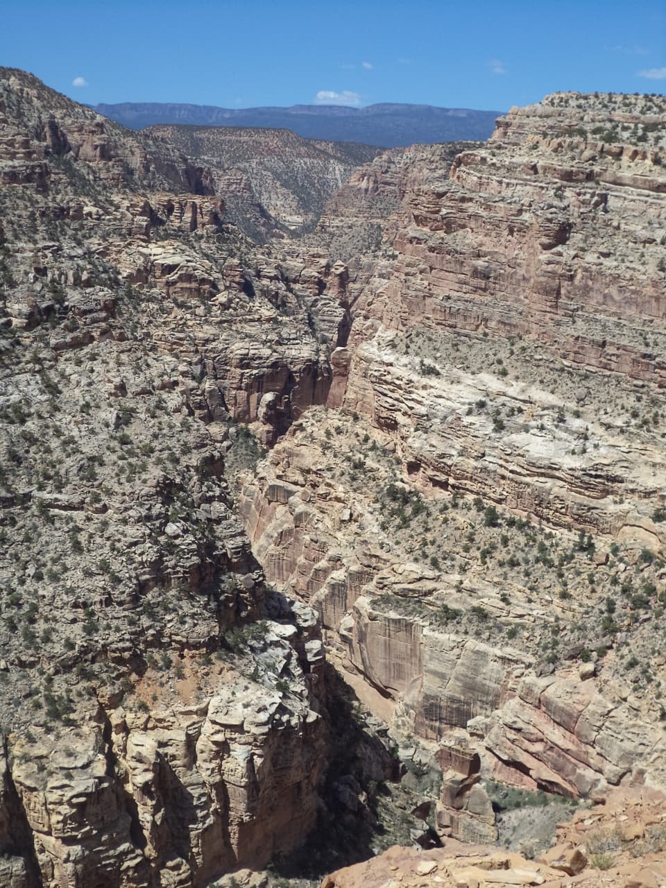 19Fremont Gorge Overlook TrailA mesa climb ends above the Fremont River, 800 feet below.
 20Strike Valley OverlookA short slickrock climb to 150 million years of geology.
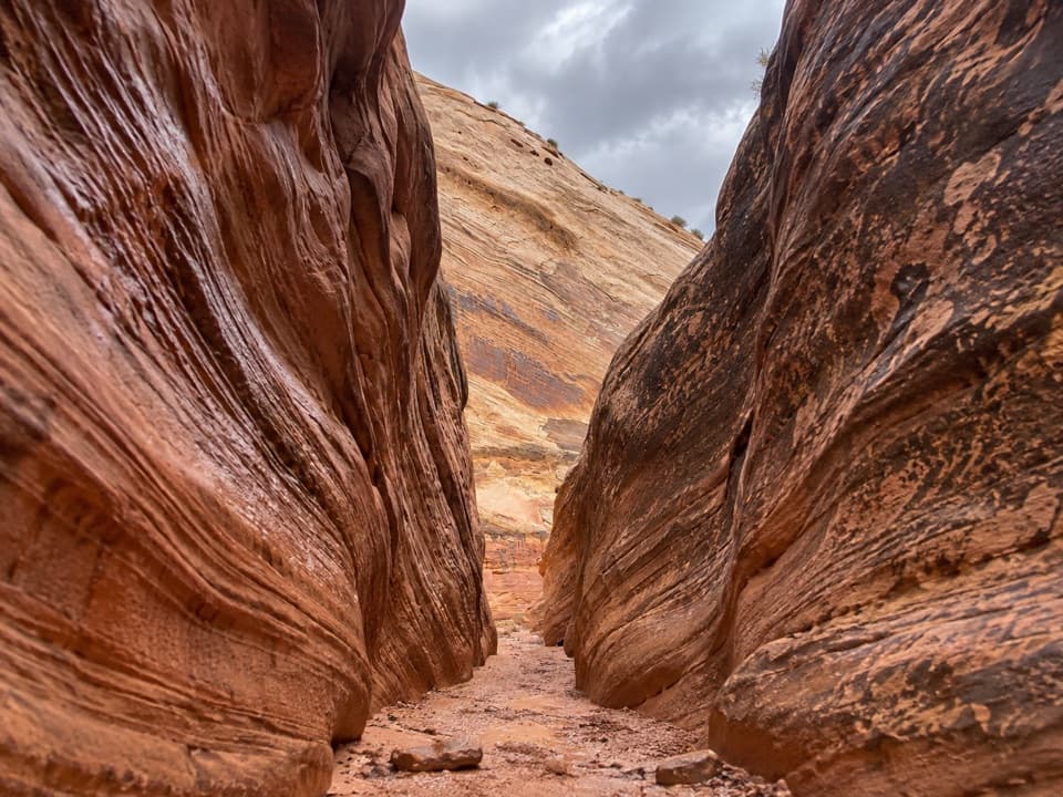 21Sheets GulchA long sandstone slot with chockstones and a cottonwood turnaround.
 22Headquarters Canyon RouteA sandy approach opens into a short, striped slot canyon.
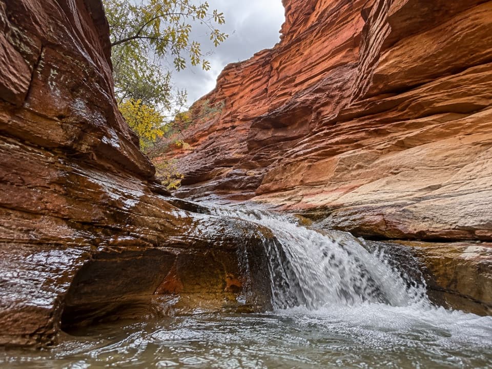 23Sulphur Creek Waterfall HikeFollow a desert creek upstream to a waterfall below red rock walls.
 24Cathedrals TrailA short climb opens a front-row view of the Cathedrals.
 25Lower Cathedral Valley Overlooks RouteA rough 1.7-mile climb to a high view of the Temples
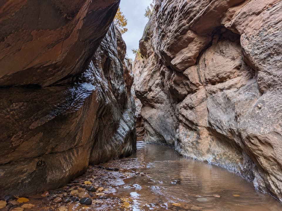 26Oak Creek CanyonA rugged 2.2-mile creek walk through sculpted sandstone narrows
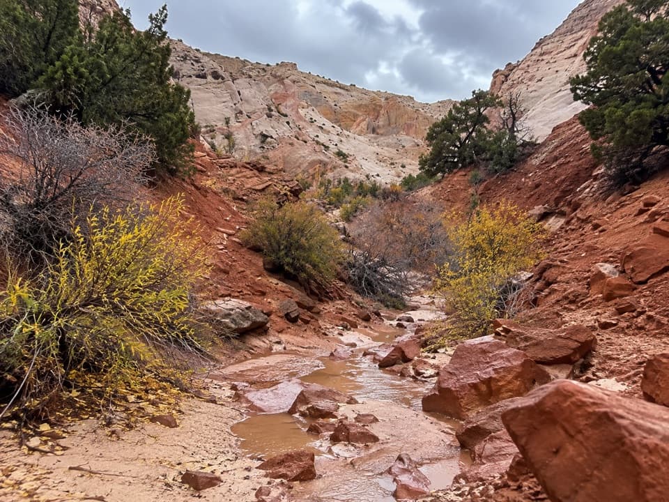 27Surprise Canyon RouteA short desert walk into a narrow canyon and spiraling pour-off.
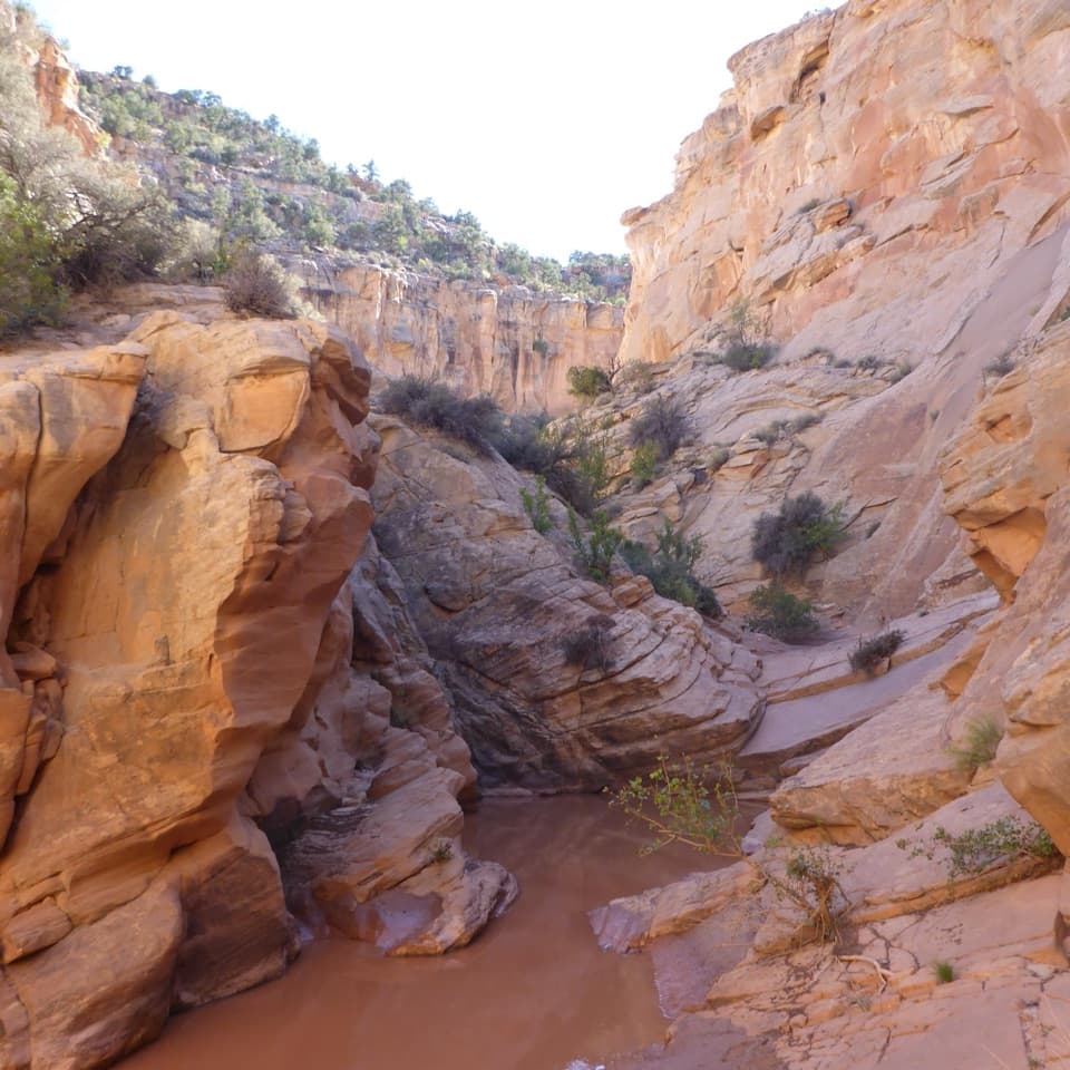 28Cottonwood WashA sandy wash gives way to scrambling and a 35-foot pour-off.
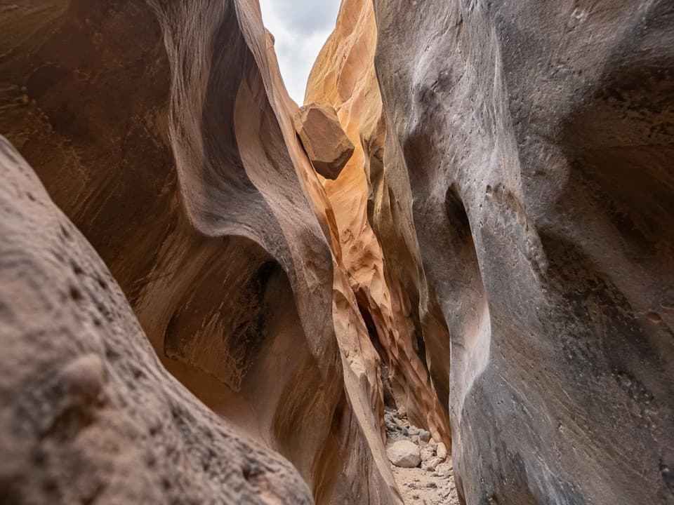 29Burro WashA long sandy approach leads to shoulder-width sandstone narrows.
 30Lower Pleasant CreekA sandstone canyon walk that keeps sending you across the creek.
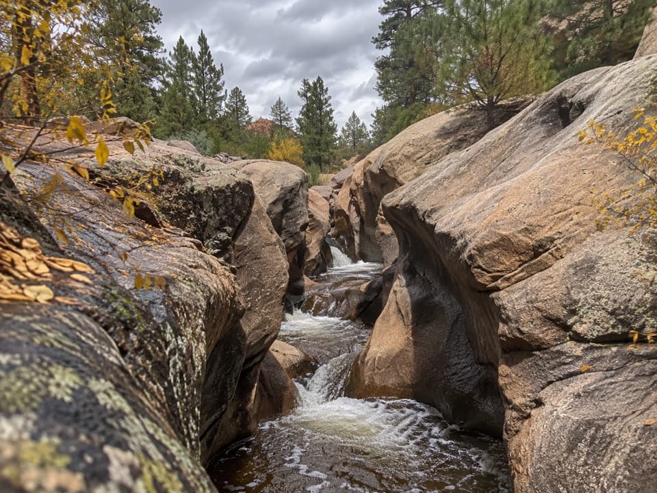 31Upper Pleasant Creek RouteWalk a narrowing creek canyon to cascades in pale sandstone.
 32Lower Muley Twist Canyon — Post LoopA remote 15.4-mile loop of soaring alcoves and a severe exposed climb.
 33Red Canyon Trail and RouteA sandy wash leads to a boulder-blocked Wingate amphitheater.
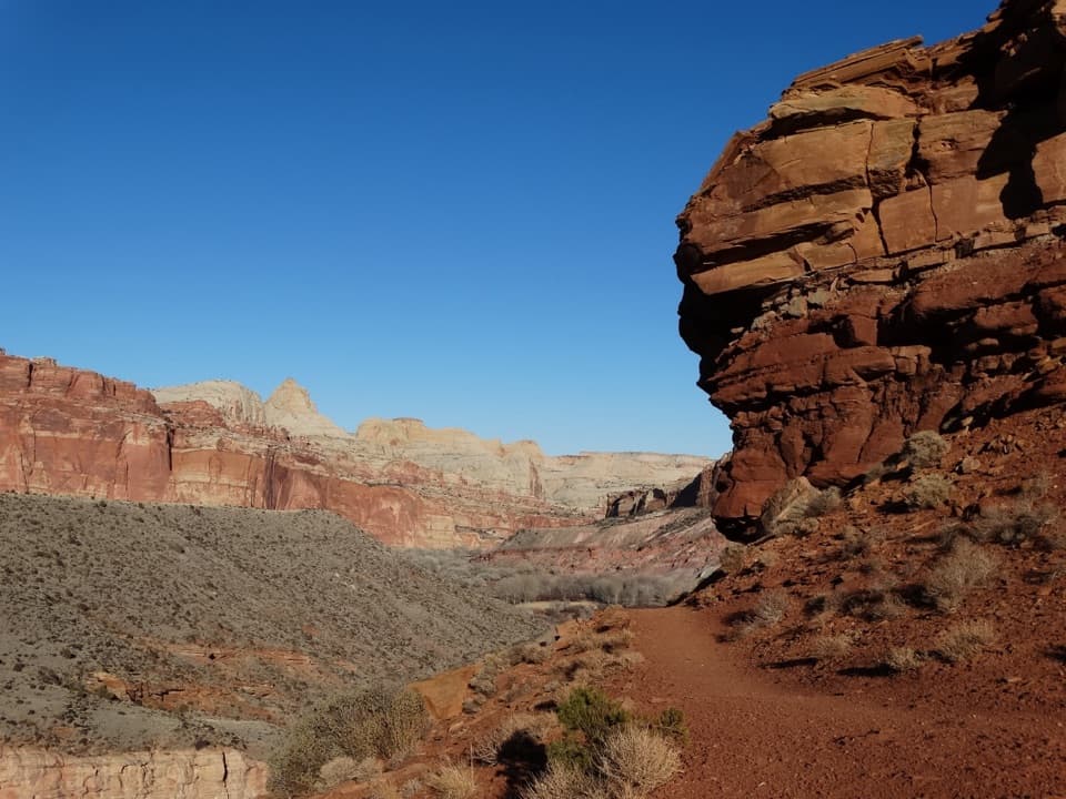 34Fremont River TrailRiver walk, a steep climb, and broad views over Fruita.
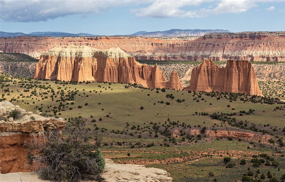 35Upper Cathedral Valley OverlookA short, rolling path ends at the Cathedrals panorama.
 36Jailhouse Rock and Temple Rock RouteFollow a fading desert track to a Temple Rock viewpoint.37Lower Muley Twist CanyonA remote canyon crossing with a steep exposed climb over the Fold.
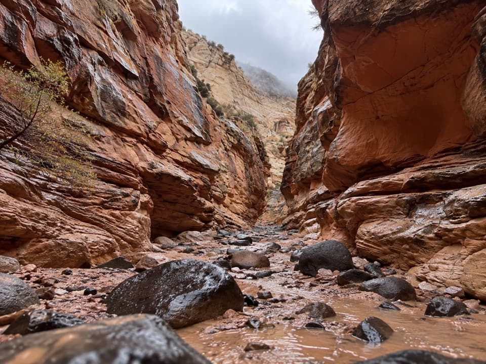 38Upper Spring CanyonRemote traverse through Wingate narrows and a boulder filled wash.
 39Old Wagon Trail LoopA steady climb earns a long view over the Waterpocket Fold.
 40Lower South Desert Overlook TrailA short rim walk for a broad look at Jailhouse Rock.
 41Cottonwood TanksAn old wagon track winds to pools below pale sandstone cliffs.
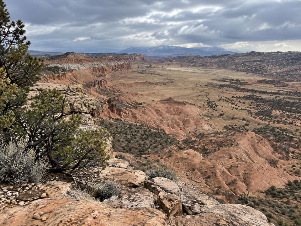 42Upper South Desert OverlookA brief climb opens onto a 360-degree desert view
 43Hamburger Rocks and Muley TanksLong, unmarked Halls Creek walk to red hoodoos and Muley Tanks.
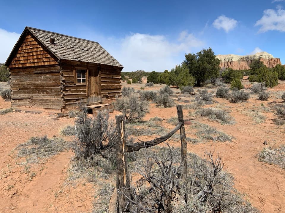 44Morrell Cabin TrailA short old-road walk to a remote ranching cabin.
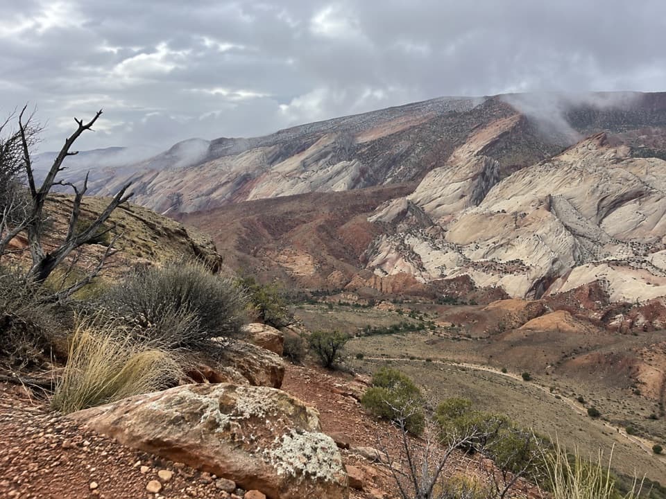 45Halls Creek Overlook TrailA steep, cairned descent into Halls Creek’s quiet canyon floor.
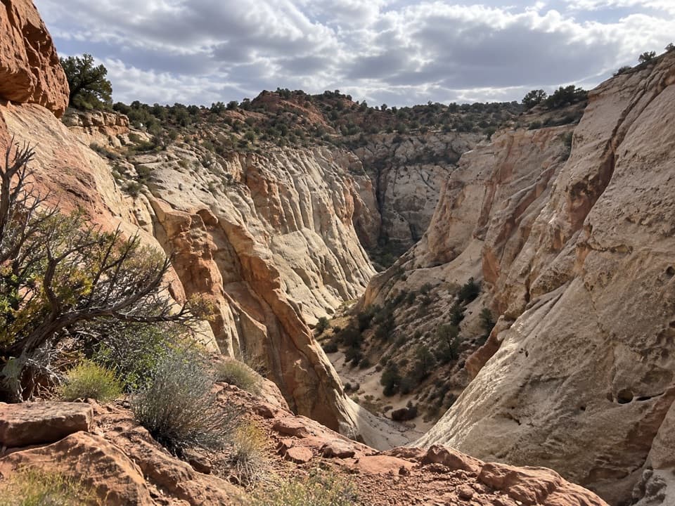 46Five Mile Wash TrailA rough wash walk that tightens into pale sandstone narrows.
 47Gypsum Sinkhole TrailA short walk to a sinkhole nearly 200 feet deep.
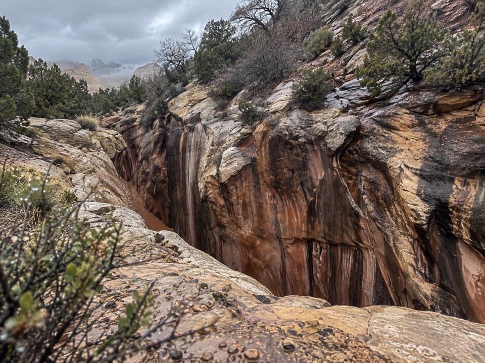 48American Discovery Trail — Capitol Reef SectionRemote canyon climb, narrows, and more than two dozen creek crossings.

The highest, rockiest slopes around here are a summer buffet for grizzly bears.
Capitol Reef Tour Guide
Capitol Reef, narrated.
Parkwolf is a GPS audio tour guide for Capitol Reef National Park. As you drive, it chimes in with what’s ahead: hidden gems, upcoming stops, history, geology, and wildlife, right through your car’s speakers.
See the Capitol Reef audio tourRecorded for this place
Hickman Bridge0:00 / 0:23
“You're approaching the Hickman Bridge trailhead, where a rocky hike leads to a 133-foot sandstone span.”
Plays as you drive up to Hickman Bridge in the Parkwolf Capitol Reef Tour Guide.
More stories near here in the app
- Fremont Petroglyphs
- Navajo Dome Viewpoint
- Fruita Schoolhouse
- Fruita Blacksmith Shop
- 116 audio storiesacross Capitol Reef’s roads, triggered by GPS as you drive
- Wildlife heatmapsfor Bighorn Sheep, Mule Deer, Marmot, and 13 more
- Works offlinemaps, 48 trails, 52 places, and audio download before you lose signal
- CarPlay readysimple controls built for the drive
“Fantastic app with many points of information… It’s great to just turn on while you’re driving and it gives you an audio tour of the national Park. We love it!!!!”

