
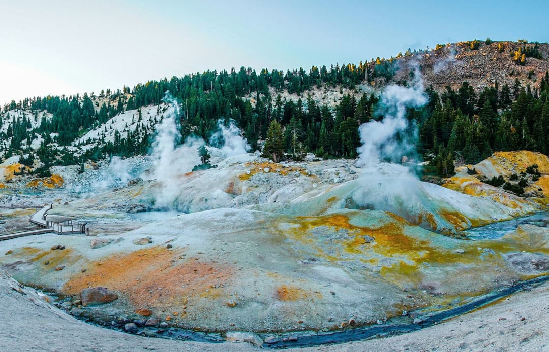
All Lassen Volcanic trails
59 trails
 1Lassen Peak TrailCinder slopes and ridge switchbacks reach a volcanic summit.
 2Cinder Cone TrailA steep cone climb, a rim loop, and the Painted Dunes
 3Bumpass Hell TrailA steady first mile leads to a steaming basin boardwalk.
 4Brokeoff Mountain TrailA steep summit climb with Lassen views and an ancient caldera.
 5Kings Creek Falls TrailA waterfall loop ends beside the creek on steep stone stairs.
 6Manzanita Lake LoopLassen Peak and Chaos Crags can double in still lake water.
 7Devils Kitchen TrailA meadow walk to a bubbling, steam-filled volcanic basin.
 8Mill Creek Falls TrailA 75-foot waterfall rewards the repeated climbs.
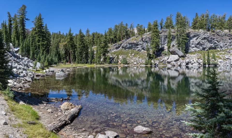 9Terrace, Shadow, and Cliff Lakes TrailThree alpine lakes, a steep return, and Lassen Peak views.
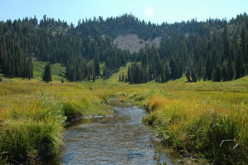 10Hat Lake to Paradise Meadows TrailA shaded creek climb to a meadow beneath Lassen’s rocky cliffs.
 11Crags Lake TrailRocky Chaos Jumbles give way to a high view of Crags Lake.
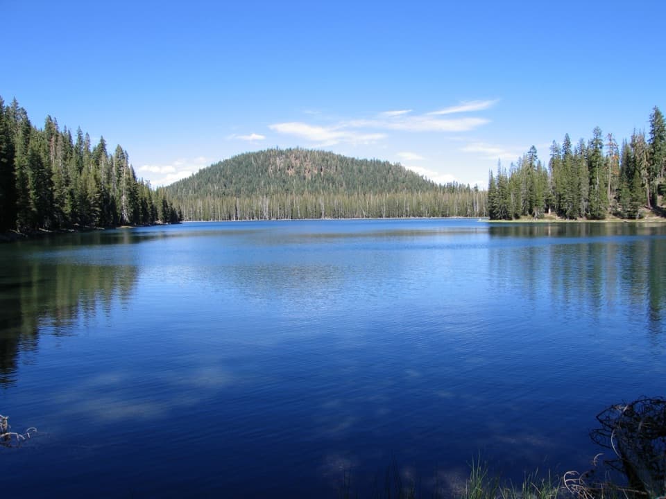 12Cluster Lakes LoopEight lakes, volcanic views, and a stretch that demands route finding.
 13Ridge Lakes TrailA steep climb to two small lakes in a volcanic cirque.
 14Boiling Springs Lake TrailAn easy three-mile walk to steaming water and lakeside mudpots.
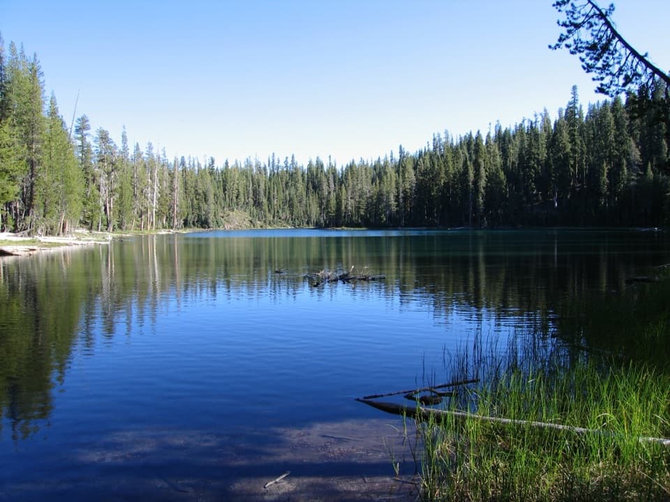 15Echo Lake TrailA meadow boardwalk, Lassen Peak views and a blue-green lake.
 16Reflection Lake LoopAn easy loop for Lassen Peak reflected in the lake.
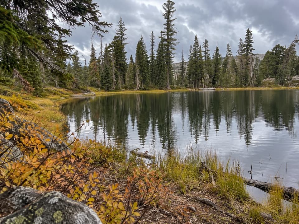 17Sifford Lakes TrailA creekside loop links a 50-foot falls to high-country lakes.
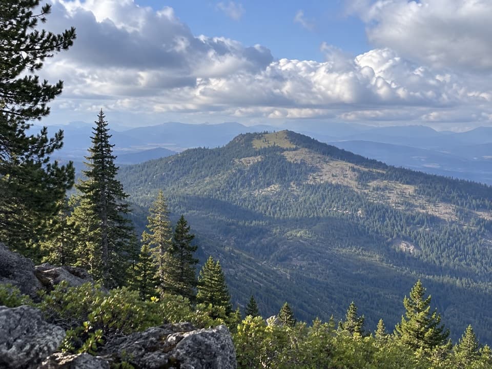 18Mount Harkness TrailA steep climb to a cinder cone atop an ancient shield volcano.
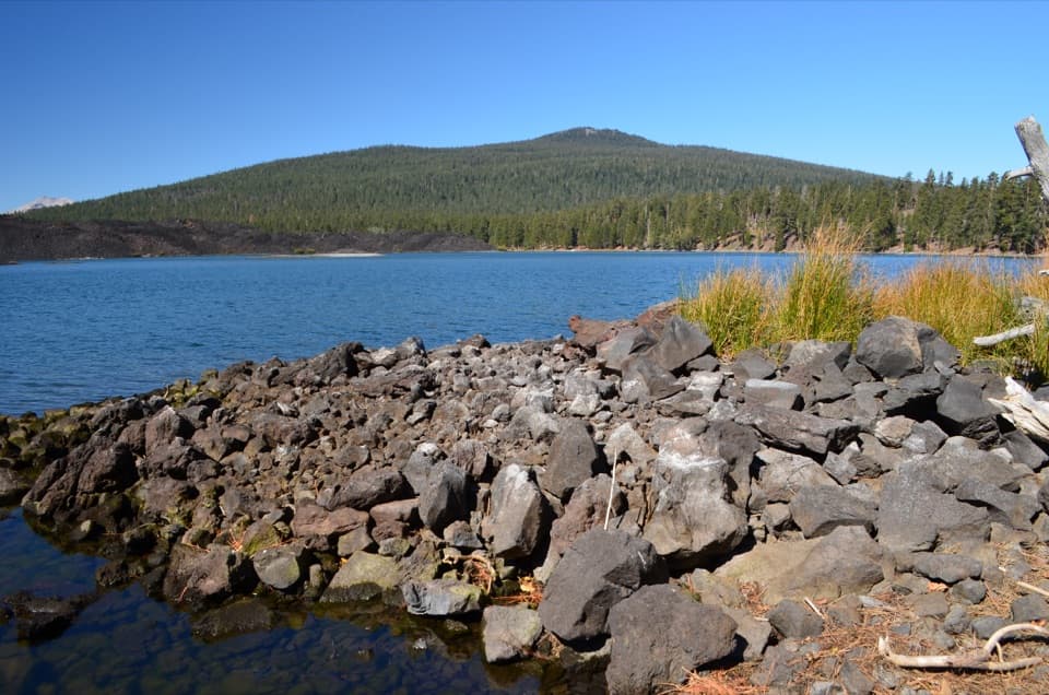 19Prospect Peak TrailA steady climb to a volcanic summit with Lassen Peak views.
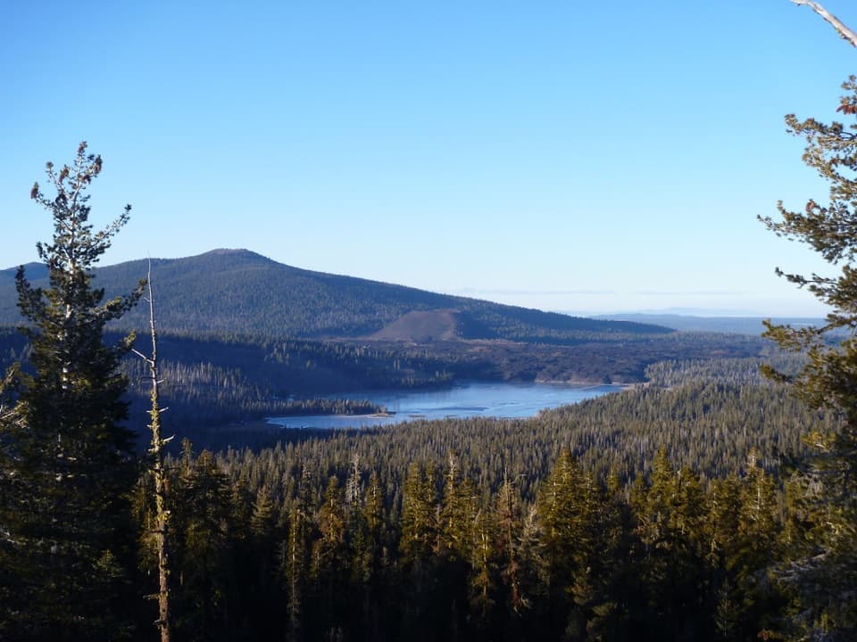 20Inspiration Point TrailA brief climb to a ridge above Juniper Lake
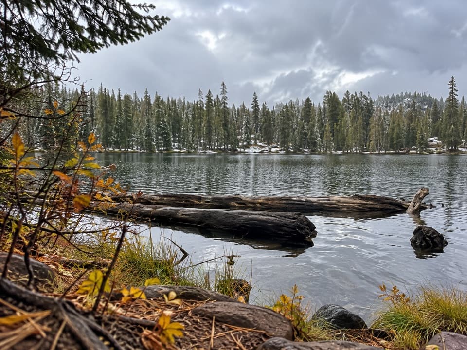 21Crystal Lake TrailA short, steep out-and-back to Crystal Lake below the cliffs
 22Bathtub Lake LoopA lakeside circuit has a short detour to its namesake lake.
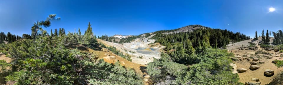 23Bumpass Hell via Cold Boiling LakeHike to Bumpass Hell from the east, via Cold Boiling Lake.
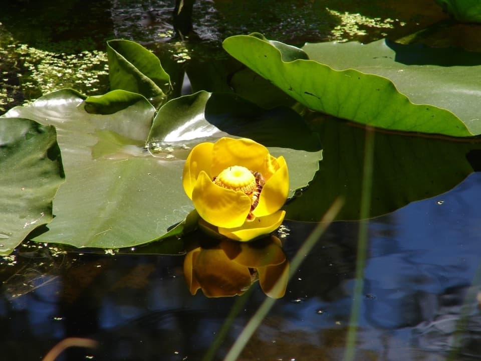 24Lily Pond Interpretive TrailAn easy, interpretive loop through pond, meadow and volcanic forest.
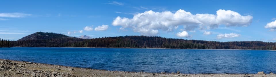 25Juniper Lake LoopA remote 6.4-mile circuit around a high-elevation lake.
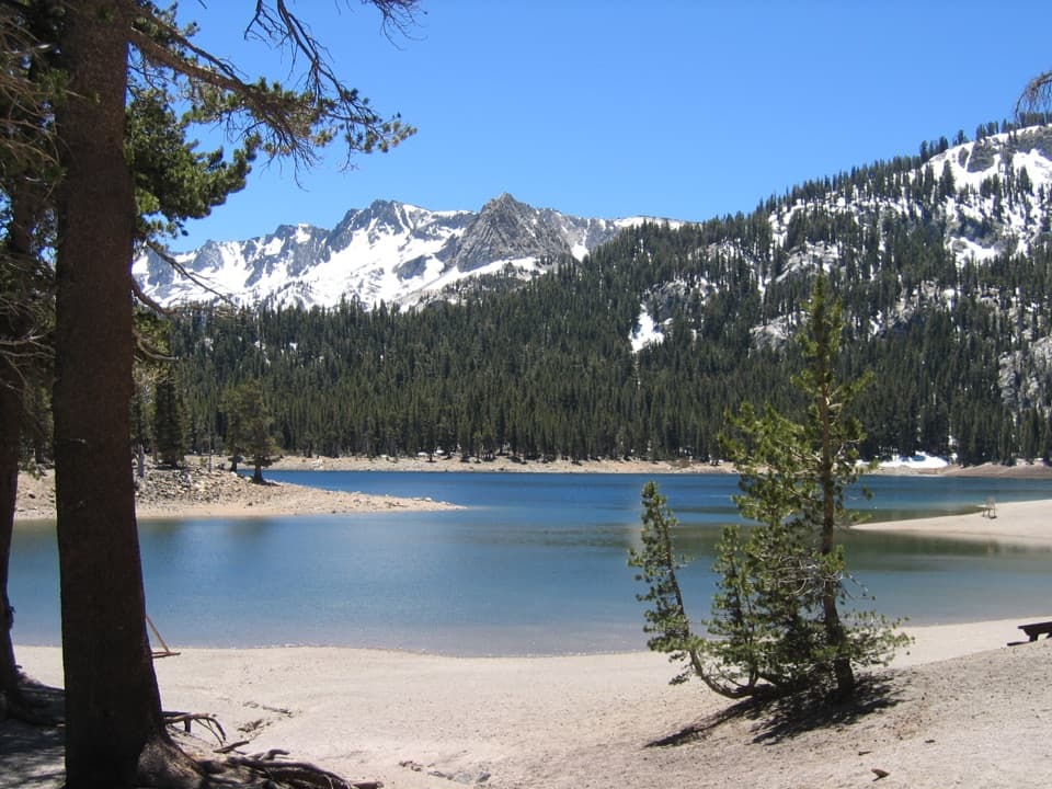 26Horseshoe Lake TrailA short forest hike to a lakeshore beneath Lassen's skyline27Upper and Lower Twin Lakes TrailA ridge climb links Echo Lake with two forested Twin Lakes
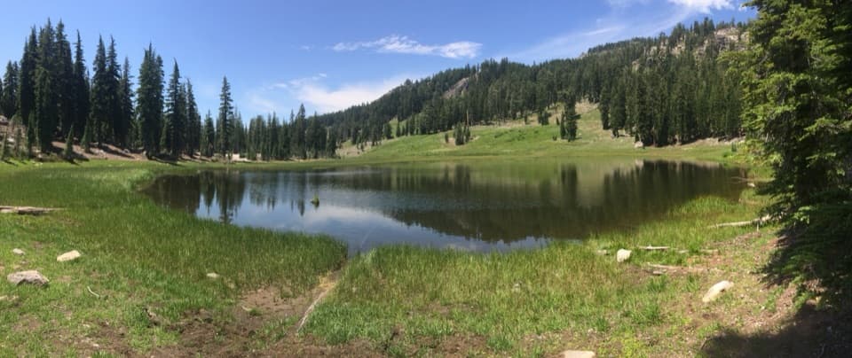 28Cold Boiling Lake TrailA short, mostly level walk to a lake that may still bubble.
 29Crumbaugh Lake TrailTwo lakes, muted bubbles, and a meadow below Mount Conard.
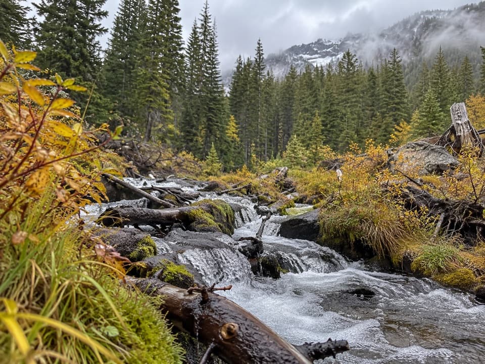 30Manzanita Creek TrailA forest creek climb to a marshy meadow beneath Loomis Peak.
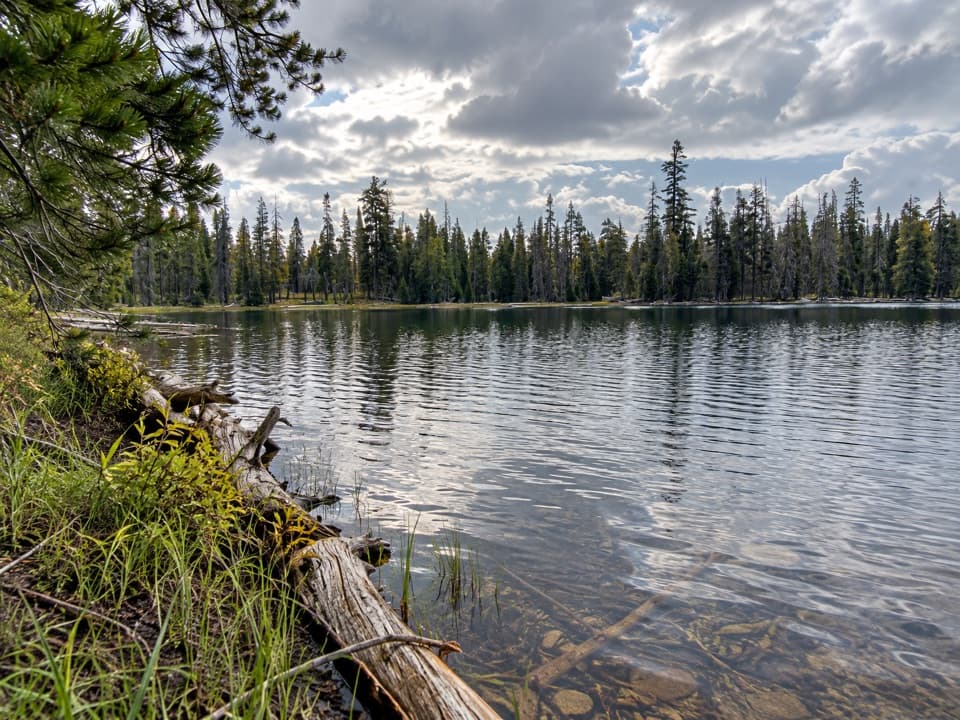 31Drake Lake TrailSteep switchbacks climb from a meadow to a quiet forest lake.
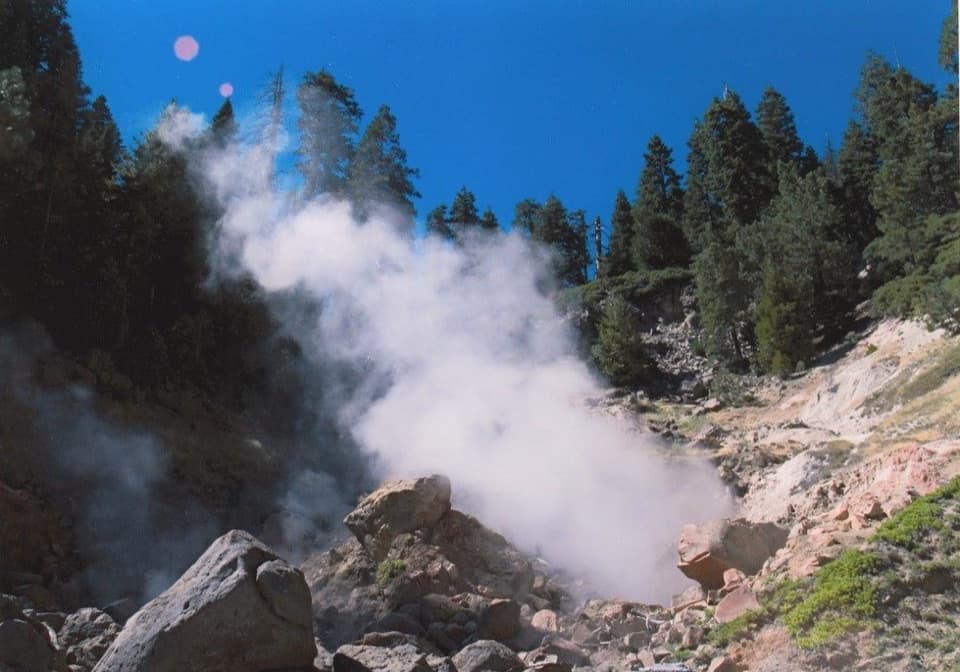 32Terminal Geyser TrailA forest climb ends at a steam plume in Willow Creek’s canyon.
 33Snag Lake LoopA long loop past cinder fields, lava beds, and two lakes.
 34Butte Lake to Widow Lake TrailA long walk through meadow and boulder field to a backcountry lake.
 35Pacific Crest Trail through Lassen VolcanicA true PCT crossing strings together remote lakes and forest.
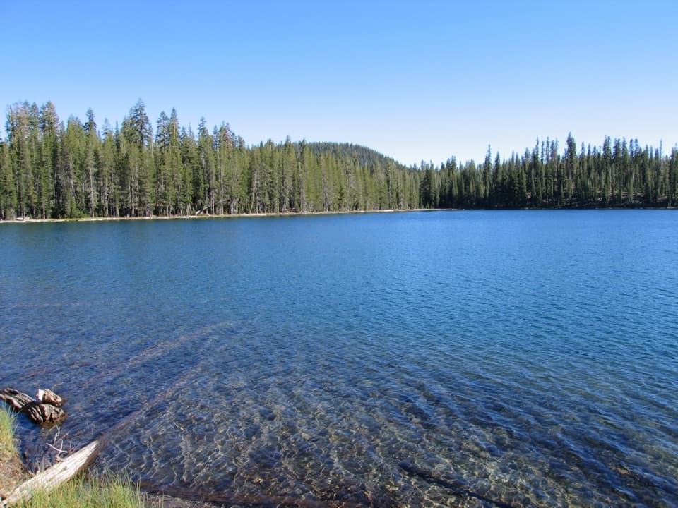 36Rainbow Lake LoopA remote high-country loop among three tucked-away lakes37Hat Creek Headwaters TrailA shuttle hike from creekside falls to meadow and lake country.
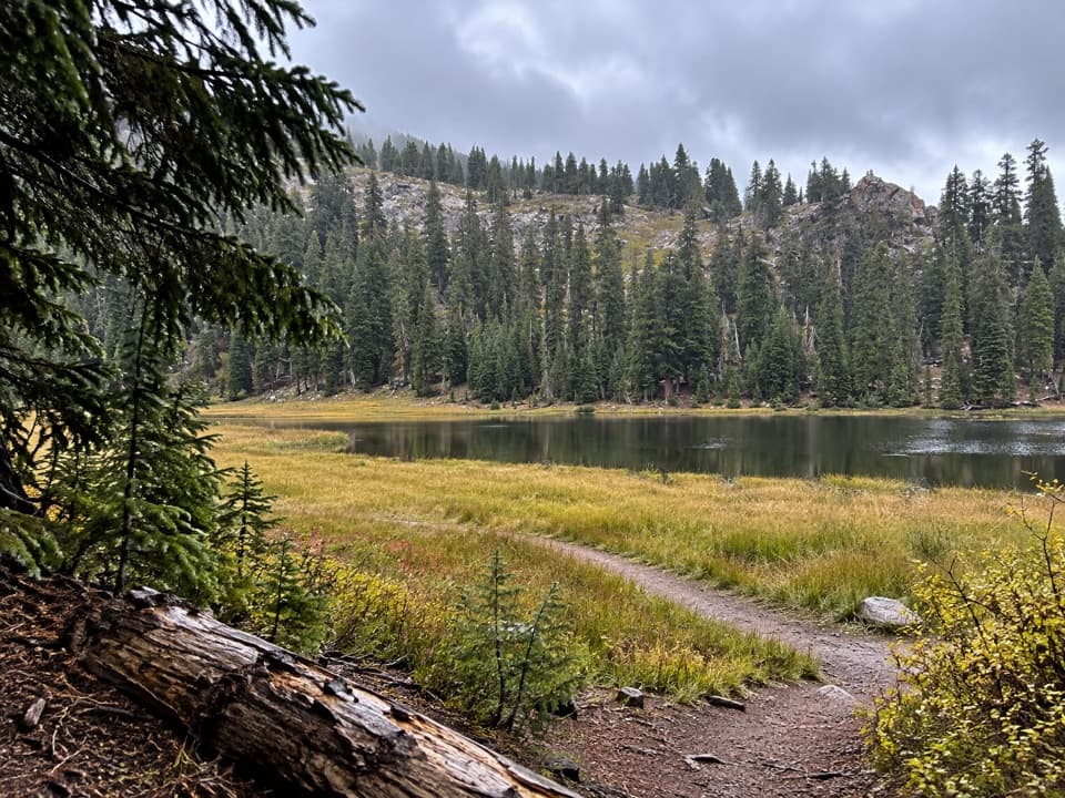 38Conard Meadows Shuttle TrailA shuttle links two lakes, Conard Meadows and a 75-foot waterfall.
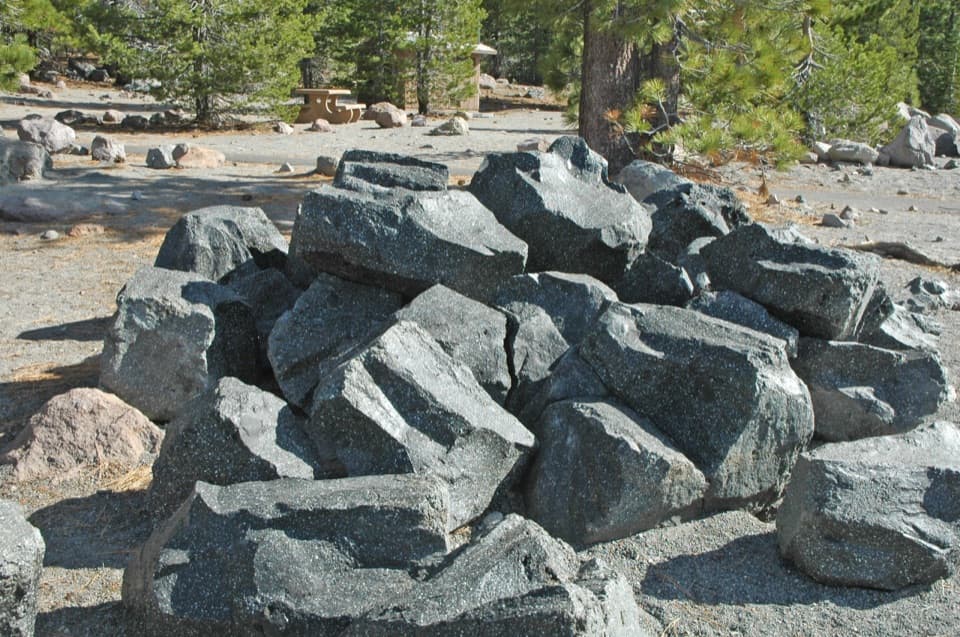 39Devastated Area Interpretive TrailA quick accessible loop among the rocks left by Lassen's 1915 eruption.
 40Summit Lake LoopA short lake loop with Lassen Peak across the water.
 41Horseshoe Lake Loop from Butte LakeA full-day lake loop past cinder fields, painted dunes, and burned forest.
 42Grassy Swale LoopA long high-country loop through Grassy Swale and the Twin Lakes.
 43Kings Creek Loop from Warner ValleyA hard loop over Flatiron Ridge, Kings Creek Falls and Bench Lake.
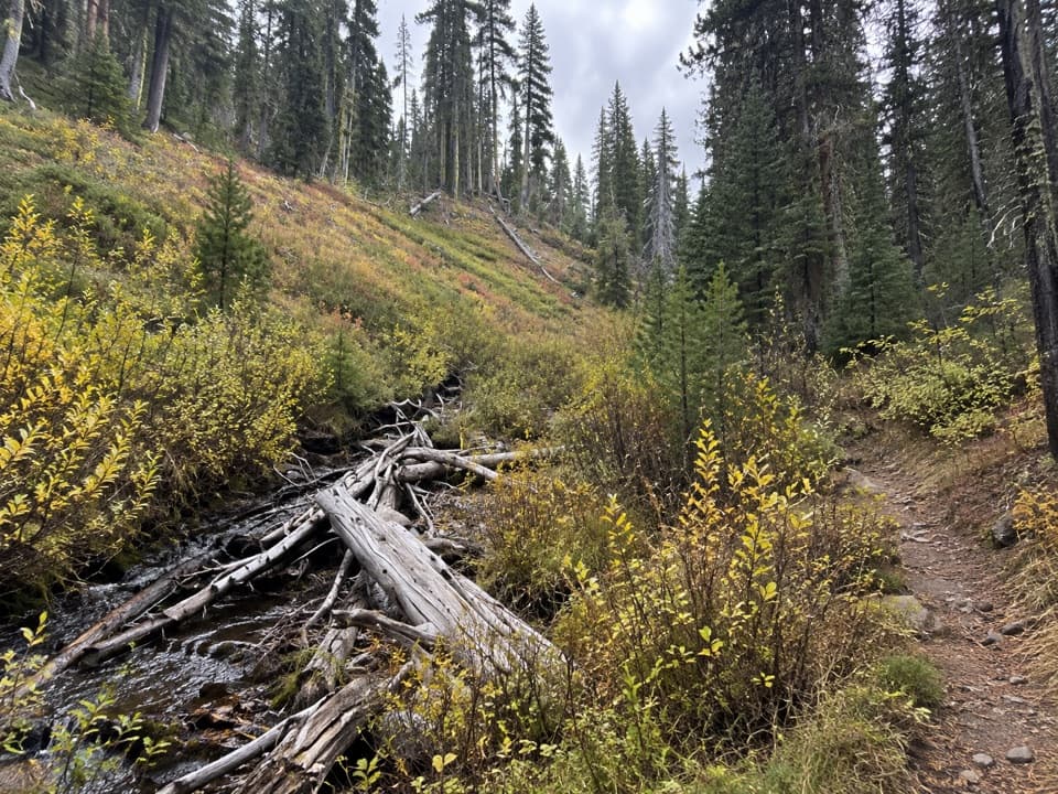 44Grassy Creek Long LoopA ridge-and-creek circuit through Lassen’s quiet Juniper Lake forest.
 45Shadow Lake Shuttle TrailThree lakes, then a mostly downhill walk to Summit Lake
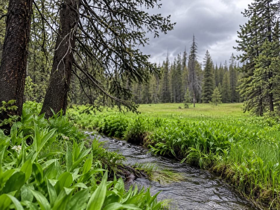 46Grassy Creek Short LoopA 5.8-mile meadow loop with one faint cutoff to find.
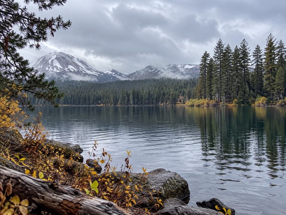 47Summit Lake, Corral Meadow and Bench Lake LoopA long, high-country loop links Corral Meadow, Kings Creek and Bench Lake.
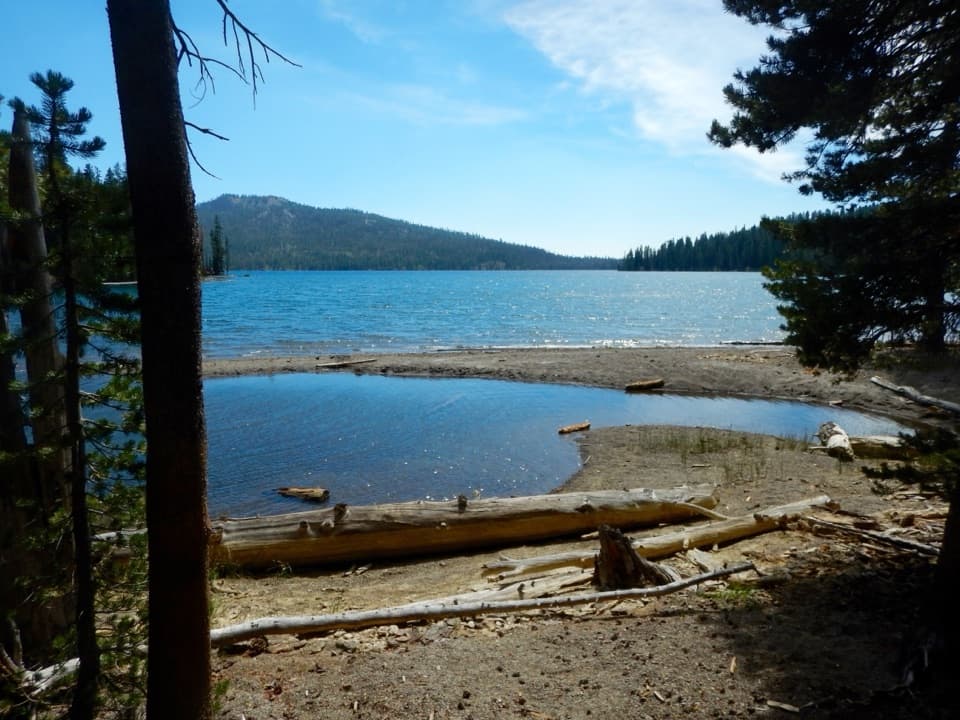 48Kings Gorge LoopA long loop links Juniper Lake, wet meadows and a deep gorge.49Juniper Lake, Cinder Cone and Red Cinders LoopRemote 22-mile loop linking lake country, crater views and red cinders.
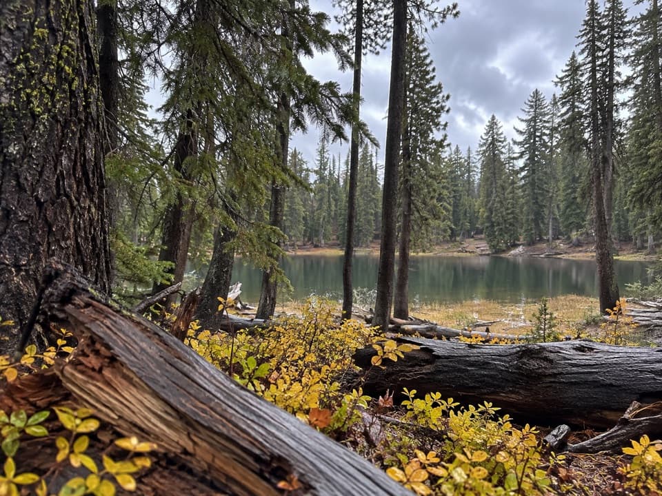 50Bench Lake TrailA small lake below cliffs after a bridge over Kings Creek.
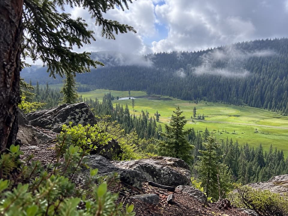 51Spencer Meadow National Recreation TrailA long forest loop opens onto Childs Meadow.52Twin Meadows Shuttle HikeA faint, long downhill shuttle through high meadows and volcanic country.
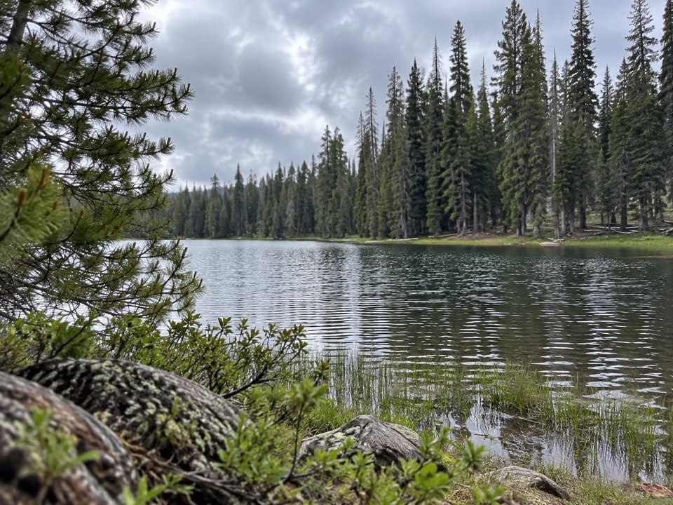 53Summit Lake South to Kings Creek Trail ConnectorA meadow connector descends from Summit Lake South to Kings Creek.
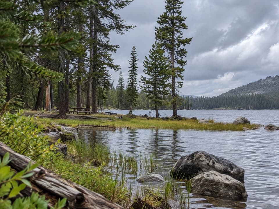 54Cameron Meadow TrailA short, low-gain walk to a seasonal wet meadow.
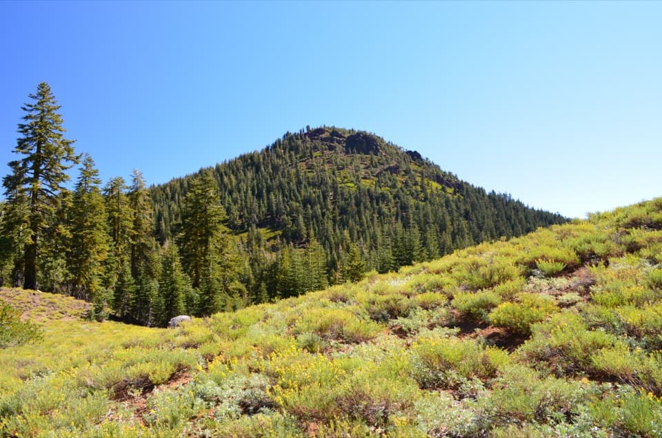 55Red Cinder Cone TrailA remote 8.8-mile traverse through the Red Cinder Cone corridor.
 56Little Willow Lake to Terminal Geyser TrailA lakeside fen leads to a steam vent in the woods.
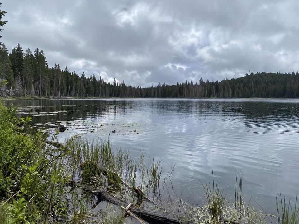 57Triangle Lake to Widow Lake TrailA remote backcountry crossing links Triangle and Widow lakes.
 58Nobles Emigrant Trail: Hat Lake to Butte LakeA historic forest traverse opens onto Cinder Cone’s volcanic landscape.
 59Dream Lake Basin TrailA former lake basin threaded by springs and meadow plants.

The highest, rockiest slopes around here are a summer buffet for grizzly bears.
Lassen Volcanic Tour Guide
Lassen Volcanic, narrated.
Parkwolf is a GPS audio tour guide for Lassen Volcanic National Park. As you drive, it chimes in with what’s ahead: hidden gems, upcoming stops, history, geology, and wildlife, right through your car’s speakers.
See the Lassen Volcanic audio tourRecorded for this place
Bumpass Hell and the Volcano Vista0:00 / 0:35
“You're approaching the Bumpass Hell trailhead, the starting point for Lassen's largest hydrothermal basin.”
Plays as you drive up to Bumpass Hell in the Parkwolf Lassen Volcanic Tour Guide.
More stories near here in the app
- Lake Helen: A Cold High-Country Stop
- Emerald Lake: Green Shallows Beside the Road
- The Red Plant That Borrows Sugar
- Lassen Peak: Roadside View or Summit
- 45 audio storiesacross Lassen Volcanic’s roads, triggered by GPS as you drive
- Wildlife heatmapsfor Black Bear, Bald Eagle, Mule Deer, and 13 more
- Works offlinemaps, 59 trails, 56 places, and audio download before you lose signal
- CarPlay readysimple controls built for the drive
“Fantastic app with many points of information… It’s great to just turn on while you’re driving and it gives you an audio tour of the national Park. We love it!!!!”

