
All Yosemite places
99 places
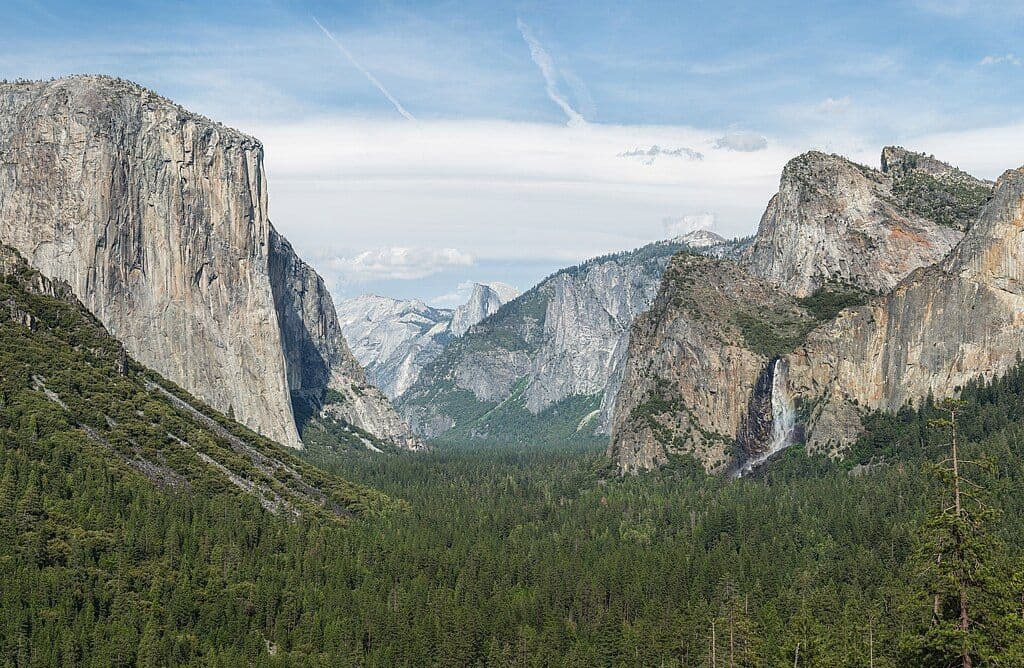
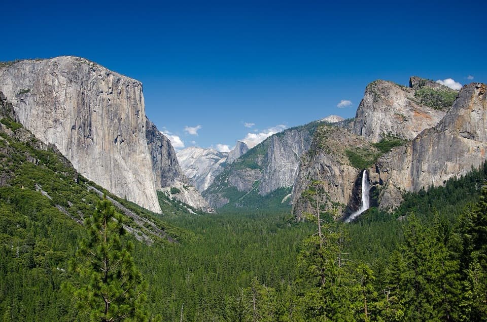 1Tunnel ViewThe valley opens in one huge panorama beyond the tunnel.
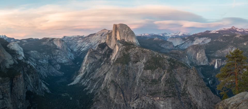 2Glacier PointA broad panorama of Yosemite Valley, Half Dome and waterfalls.
 3Yosemite FallsThe lower plunge is close; the full 2,425-foot view takes another angle.
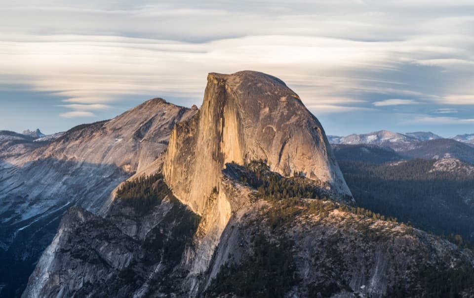 4Half DomeYosemite’s granite icon, with sweeping views from its summit.
 5Bridalveil FallA 620-foot fall up close, with a short paved approach.
 6El Capitan MeadowA 3,000-foot wall, dotted with tiny climbers.
 7Mariposa Grove of Giant SequoiasA flat loop sees the giants; Wawona Point takes a strenuous climb.
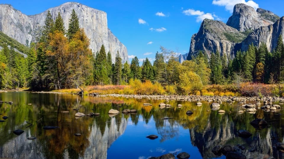 8Valley ViewGranite cliffs and Bridalveil Fall framed across the Merced River.
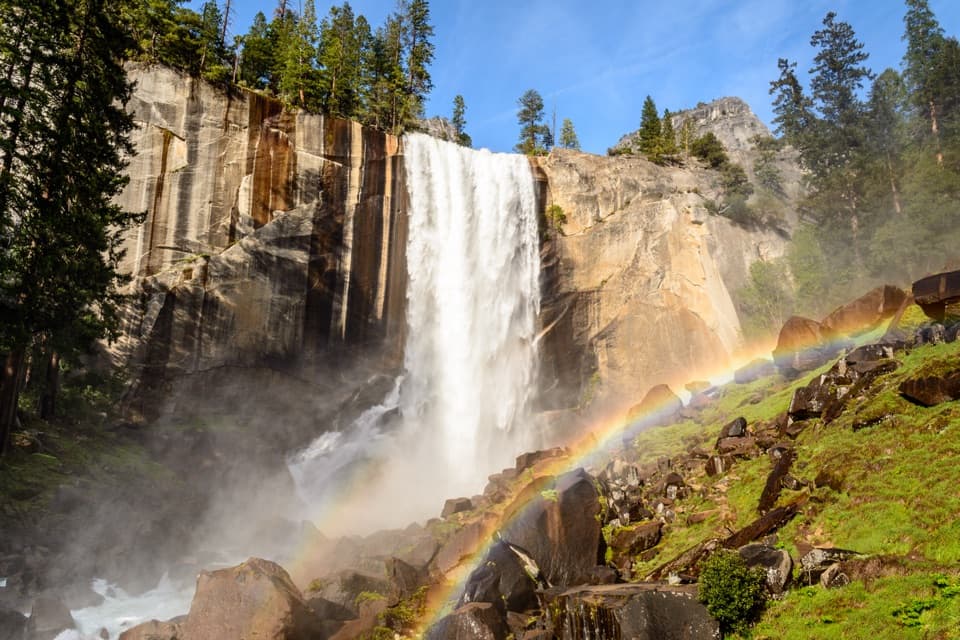 9Vernal FallSpring spray can frame the 317-foot waterfall in rainbows.
 Yosemite Valley Welcome CenterPick up maps, meet a ranger, or self-register for winter permits.
 10Olmsted PointHalf Dome from another angle, framed by glacially carried boulders.
 11Tenaya LakeClear water, granite peaks, and an easy lakeshore stop.
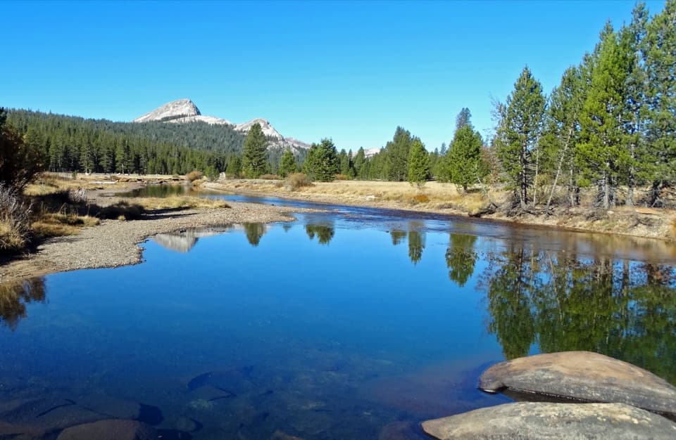 12Tuolumne MeadowsA high-country meadow with river bends and granite domes.
 13Nevada FallA 594-foot waterfall rewards a strenuous climb from Happy Isles.
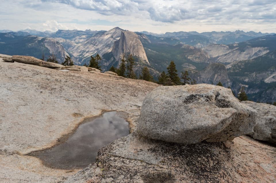 14Sentinel DomeA short granite scramble, then the whole horizon opens up.
 15The AhwahneeSee this landmark’s public rooms without booking a hotel room.
 16O'Shaughnessy Dam and Hetch Hetchy ReservoirWalk the dam for reservoir views and a trail toward two waterfalls.
 17Taft PointThe short walk ends at a rim facing El Capitan.
 18Grizzly GiantA fire-scarred giant sequoia at the heart of Mariposa Grove.
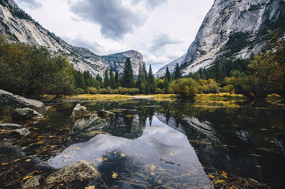 19Mirror LakeSpring water turns Half Dome into a mirror.
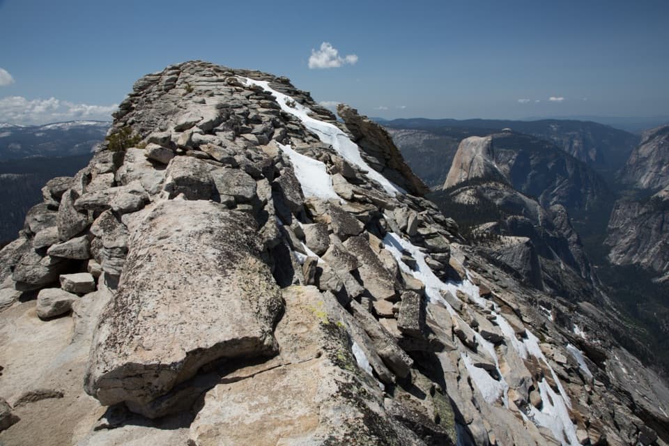 20Clouds RestThe long hike pays off in a narrow ridge above Half Dome.
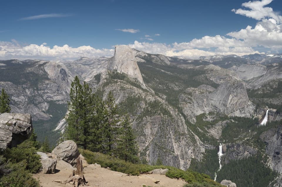 21Washburn PointHalf Dome and three waterfalls share this roadside panorama.
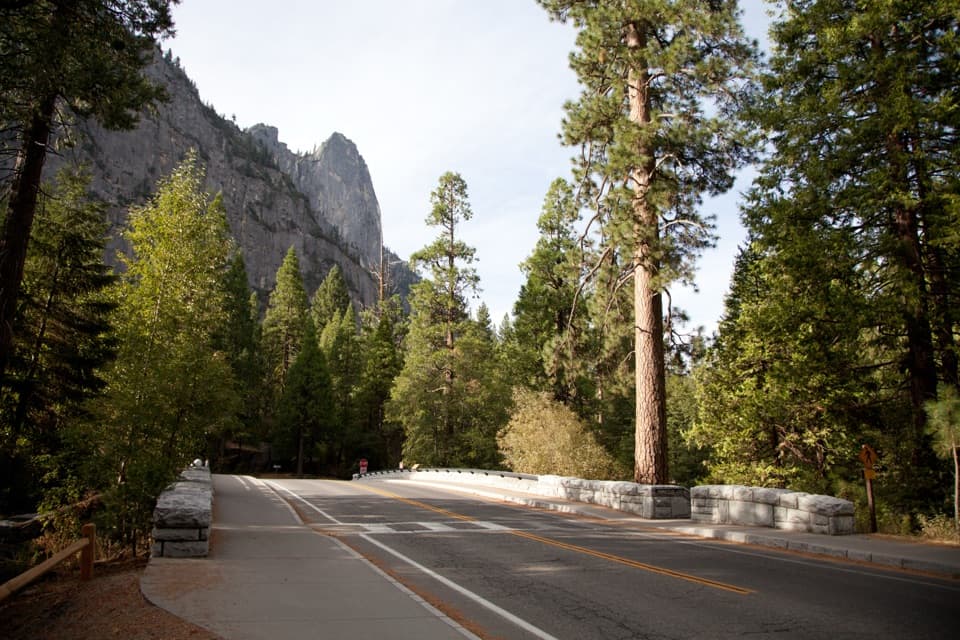 22Sentinel BridgeHalf Dome’s river reflection, right from the bridge.
 23Yosemite Exploration CenterA focused indoor stop for the valley’s history, geology, and wildlife.
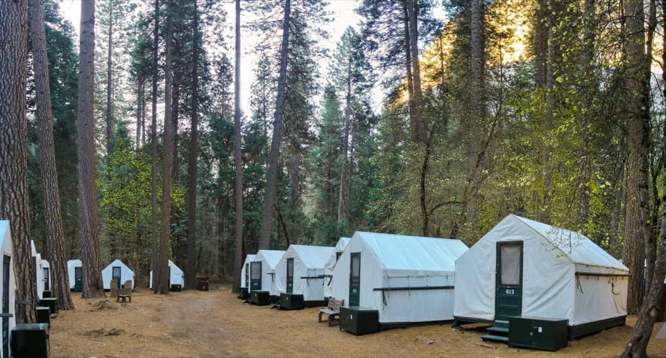 Curry VillageHistoric tent-cabin lodging with dining in Yosemite Valley.
 24Yosemite MuseumBaskets, Miwok-Paiute history, and a reconstructed village in one stop.
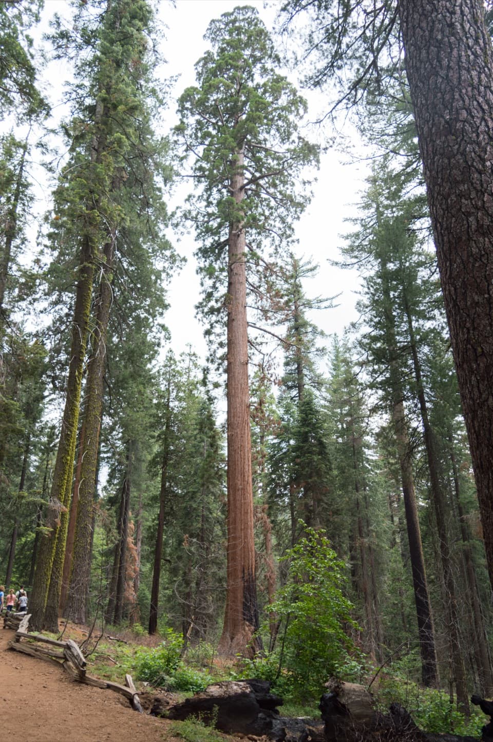 25Tuolumne GroveTwo dozen sequoias are worth the 500-foot climb back.
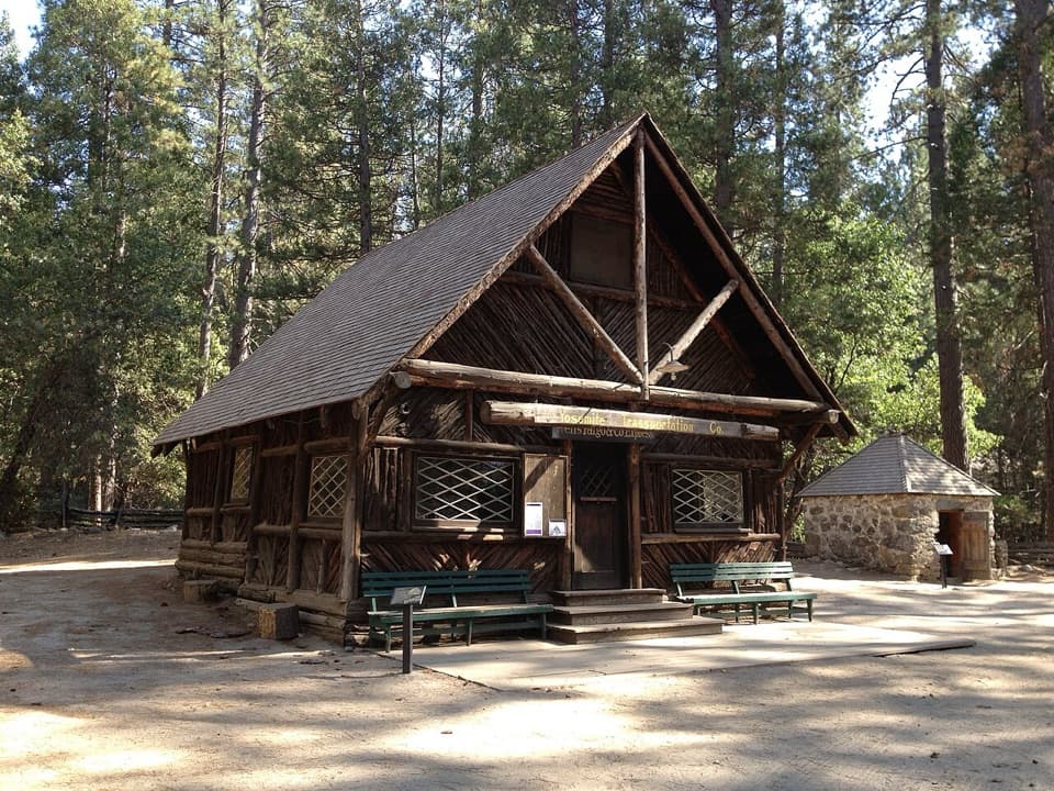 26Yosemite History CenterA covered bridge, old wagons and stories from the park’s working past.
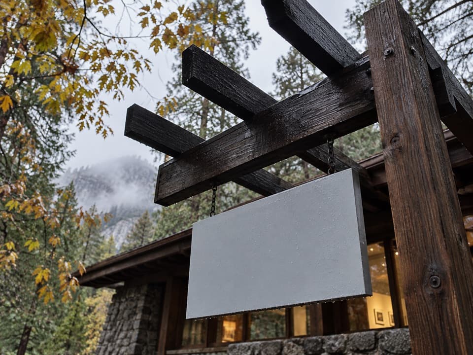 27The Ansel Adams GalleryOriginal Adams photographs and practical camera lessons.
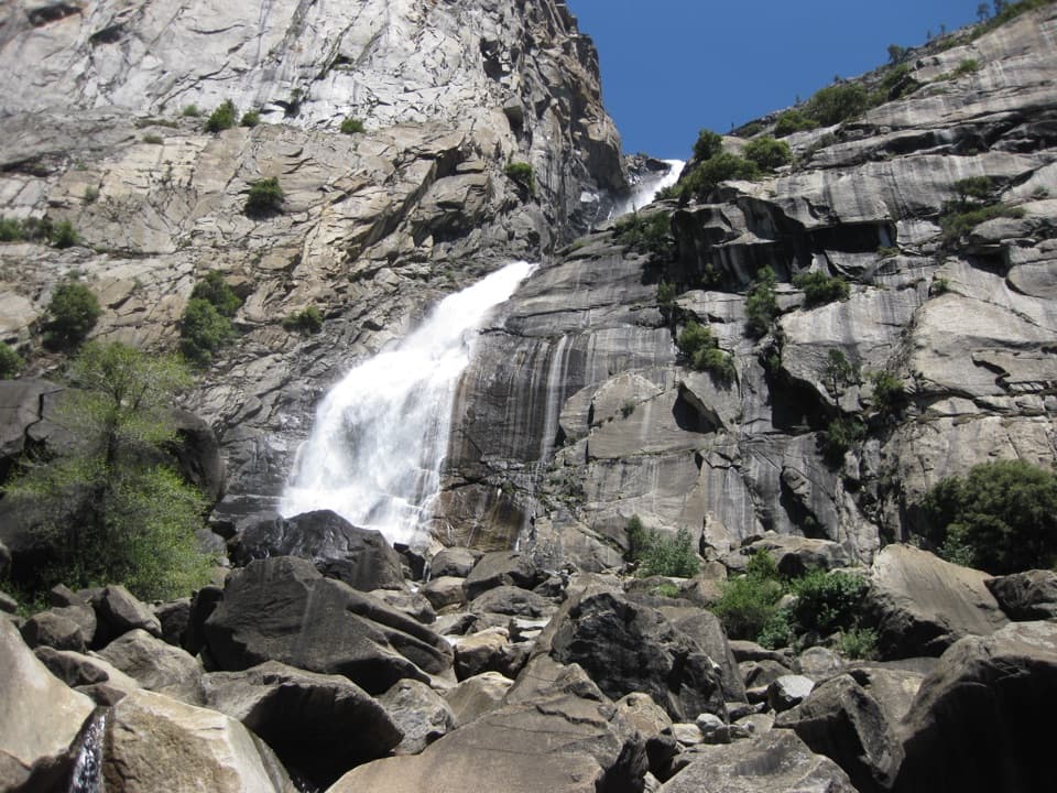 28Wapama FallsA granite tunnel and reservoir hike lead to a 1,400-foot waterfall.
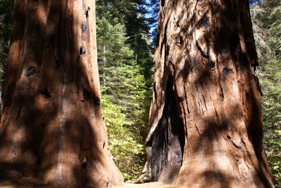 29Merced GroveThe quiet sequoia grove saves its climb for the way back.
 Yosemite Valley LodgeStay by the falls with meals, coffee and groceries close by.
 30Cook's MeadowA level meadow walk gives you the classic Half Dome view.
 Camp 4Shared tent sites steeped in the history of American climbing.
 31Badger Pass Ski AreaA historic Yosemite ski base for downhill, Nordic, and snowshoe days.
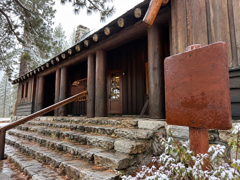 Tuolumne Meadows Visitor CenterA ranger desk, geology exhibits and a CCC story beside the meadow.
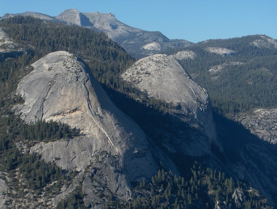 32North DomeA long summit walk pays off with Half Dome face-on.
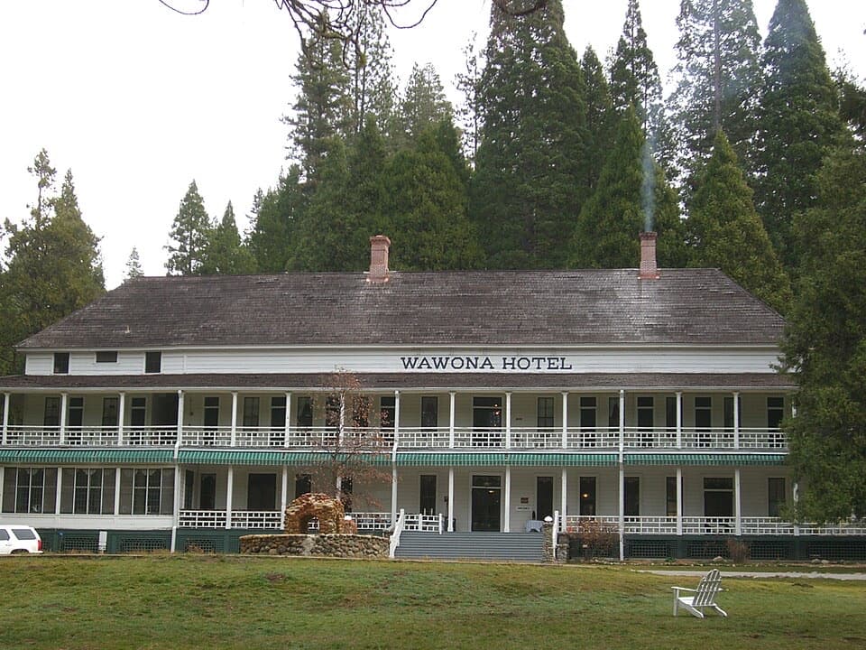 33Wawona HotelAn 1879 Victorian hotel with roots in an 1856 trail-side cabin.
 34Cathedral LakesTwo high lakes, bare granite shelves, and Cathedral Peak overhead.
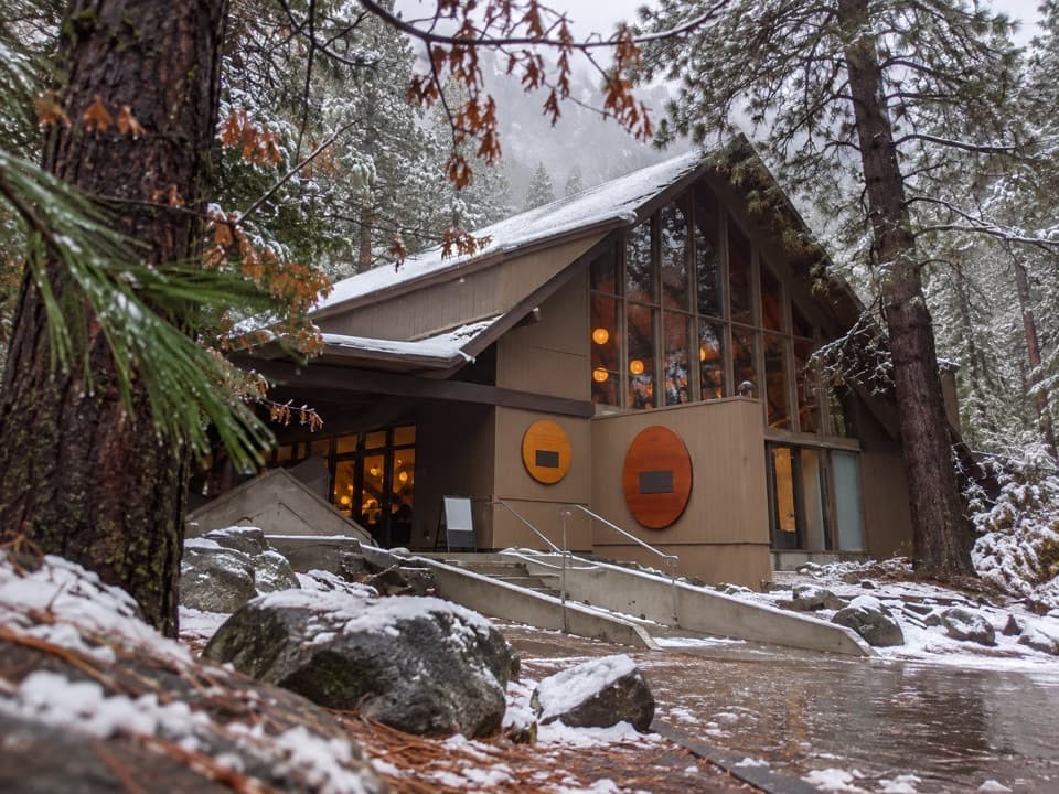 Degnan's KitchenFast-casual Yosemite Village food stop for sandwiches, pizza and coffee.
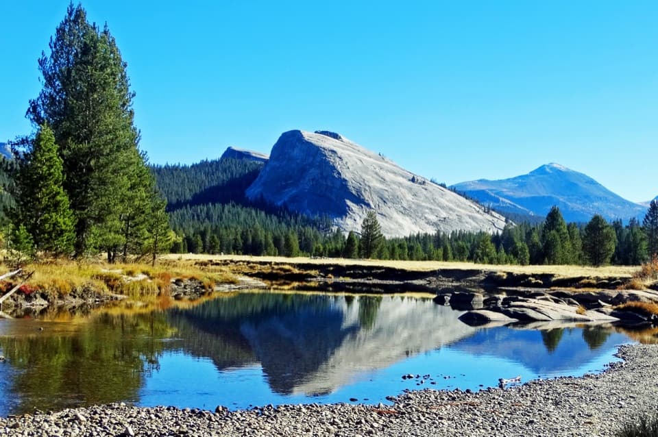 35Lembert DomeA steep granite climb earns a wide-open Tuolumne panorama.
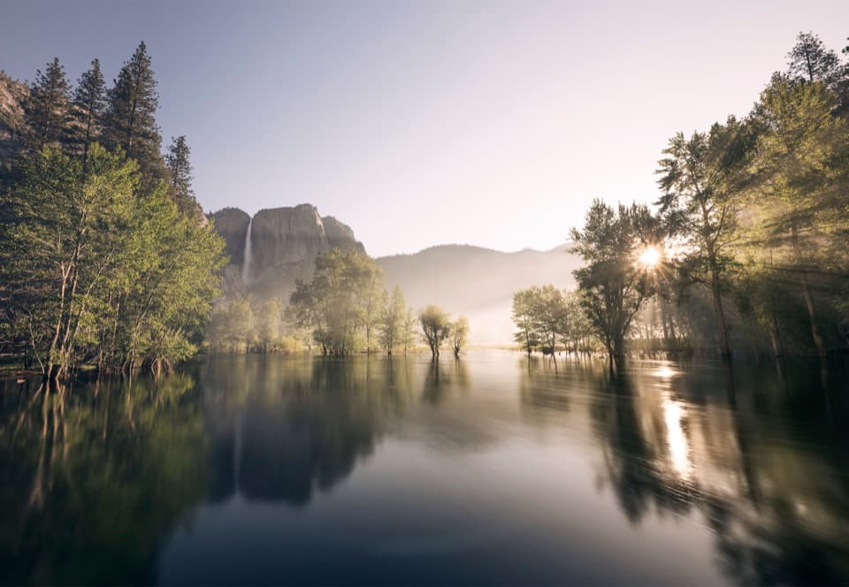 Swinging Bridge Picnic Area (Yosemite Valley)Picnic by the Merced with Yosemite Falls for company.
 36May LakeA lake beneath Mount Hoffmann, reached by a steady uphill walk.
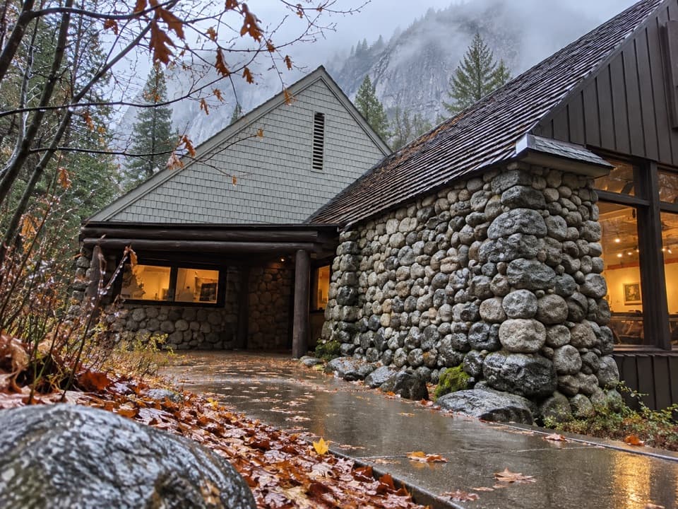 37Happy Isles Art and Nature CenterHands-on nature displays, with river-isle walks just outside.
 38Dewey PointEl Capitan anchors a far-reaching view from the granite rim.
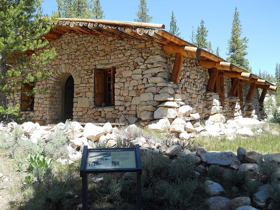 39Parsons Memorial Lodge and Soda SpringsA short walk joins a 1915 lodge with bubbling meadow springs.
 Big Oak Flat Information StationGet wilderness permits, maps and useful advice before heading deeper.
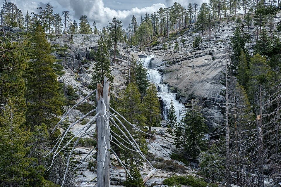 40Chilnualna FallsFive granite cascades reward the climb above Wawona.
 Wawona Visitor Center at Hill's StudioAn artist's Yosemite studio turned into a useful park stop.
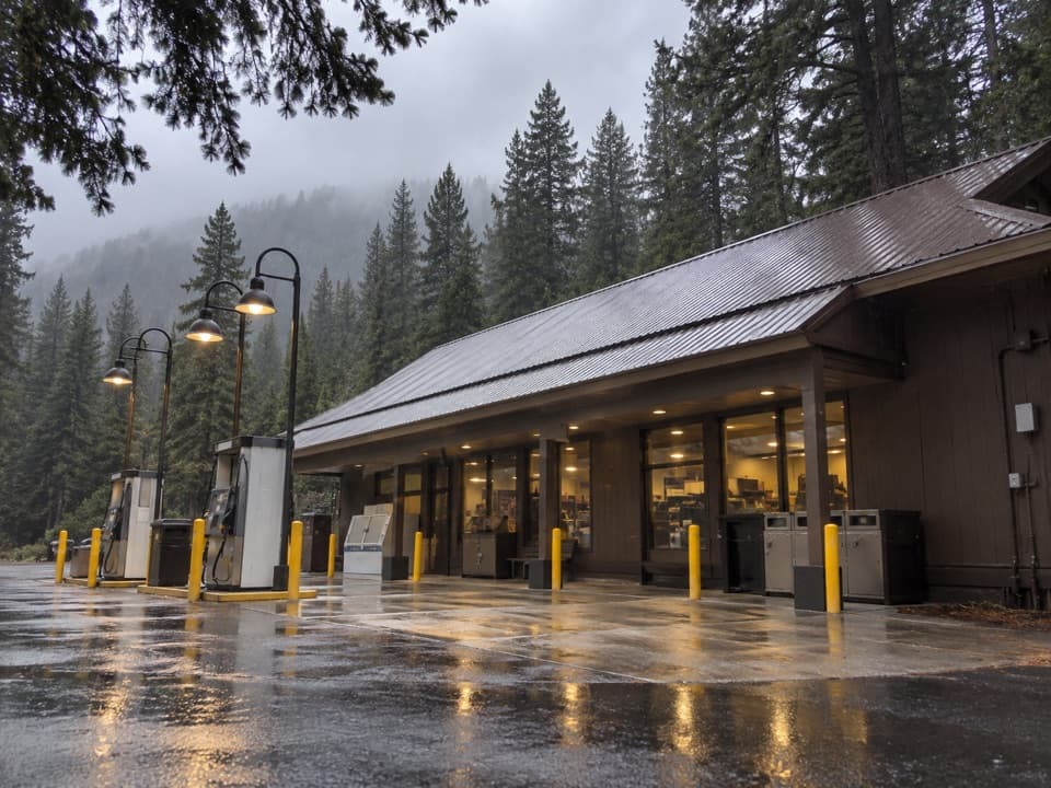 Crane Flat Gas StationFuel, groceries and a useful break at Yosemite's northern road junction.
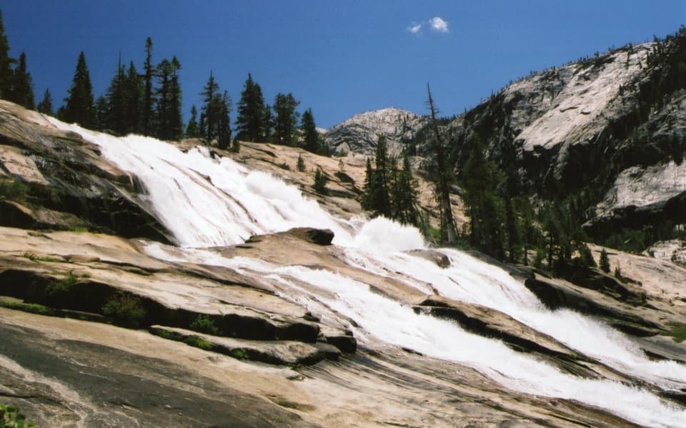 41Waterwheel FallsA full-day hike to a cascade that can throw water skyward.
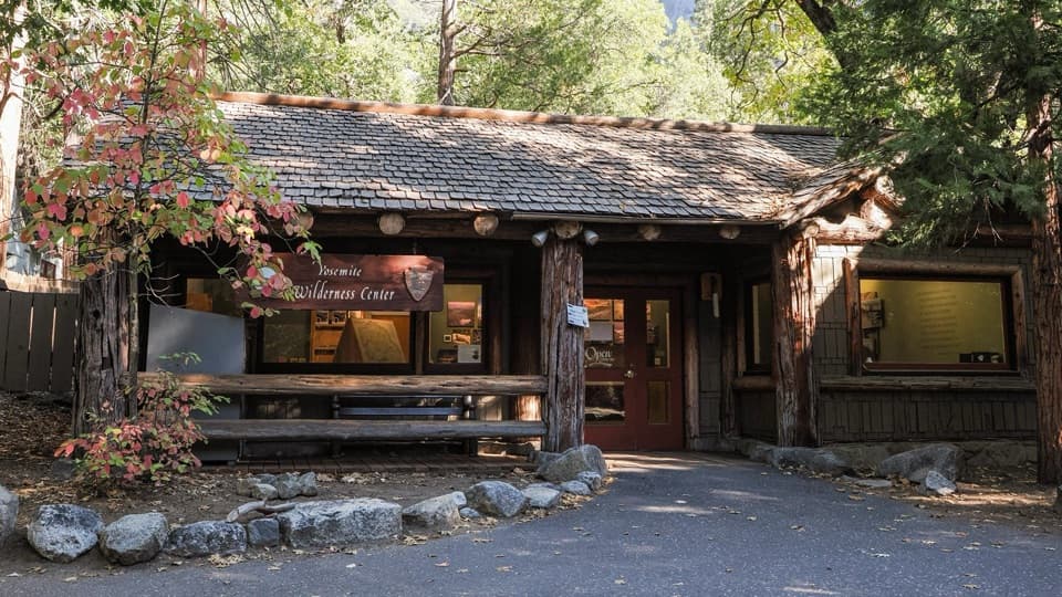 Yosemite Valley Wilderness CenterGet permits, bear canisters, and ranger advice before a backcountry trip.
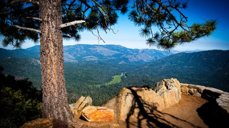 42Wawona PointA long climb through giant sequoias ends in a wide valley view.
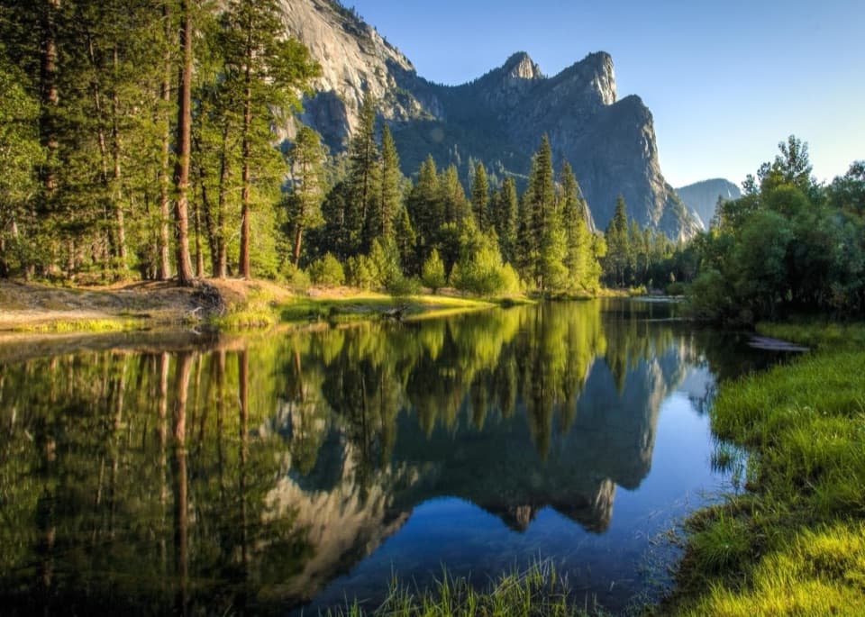 43Cathedral BeachA shaded picnic with El Capitan reflected in the Merced.
 44Yosemite Conservation Heritage CenterA historic granite lodge with a bigger conservation story.
 Upper Pines CampgroundFor Valley days, a handy camp with close sites and shuttle access.
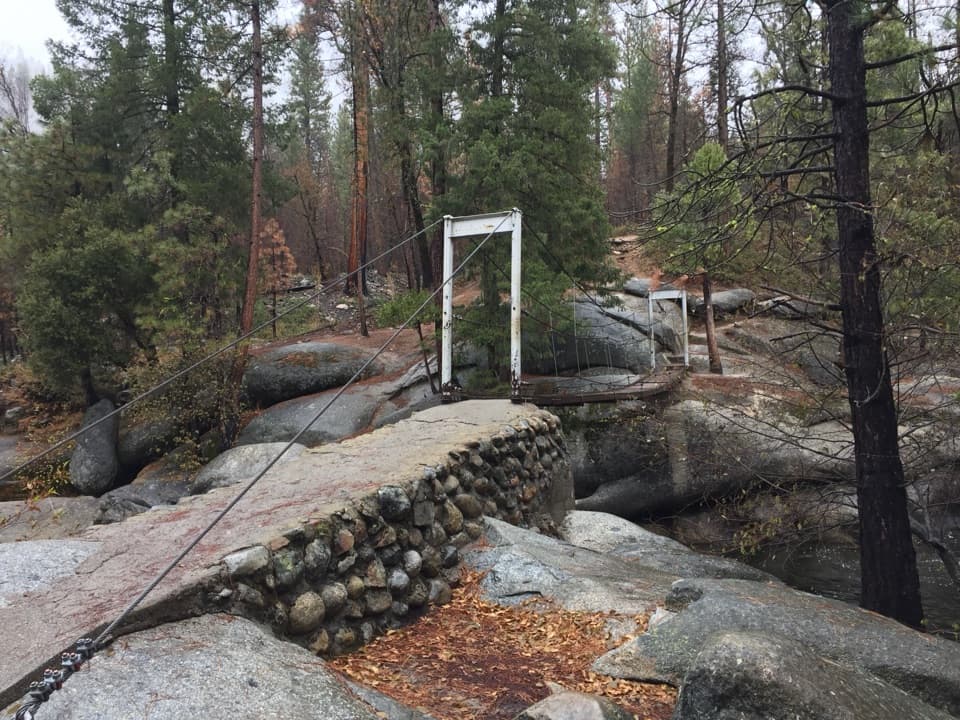 45Wawona Swinging BridgeA swaying bridge over granite boulders and a popular swimming hole
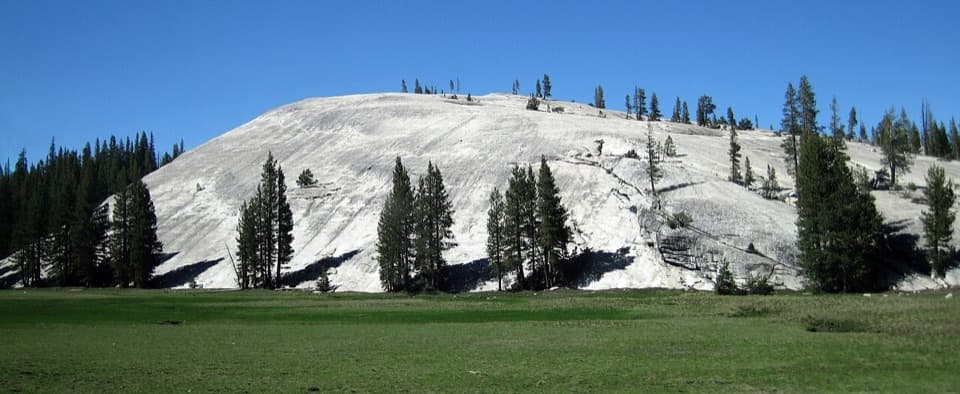 46Pothole DomeA short granite climb opens a wide view across Tuolumne Meadows.
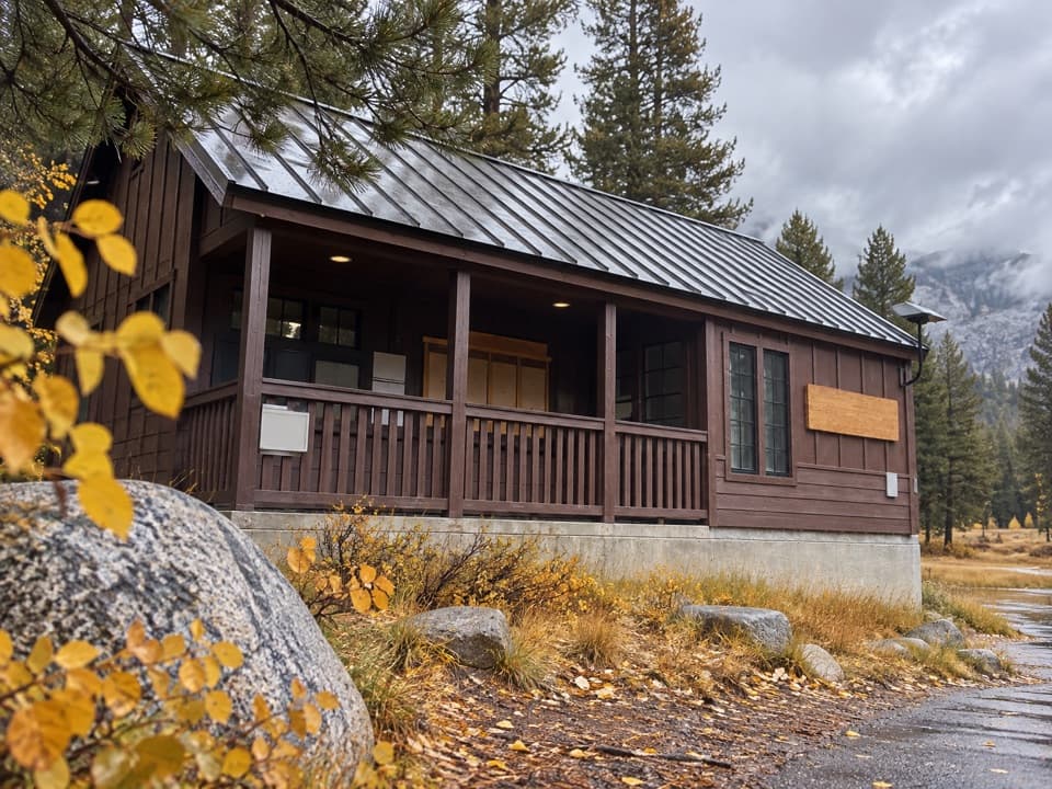 Tuolumne Meadows Wilderness CenterTalk over your route and get a backcountry permit.
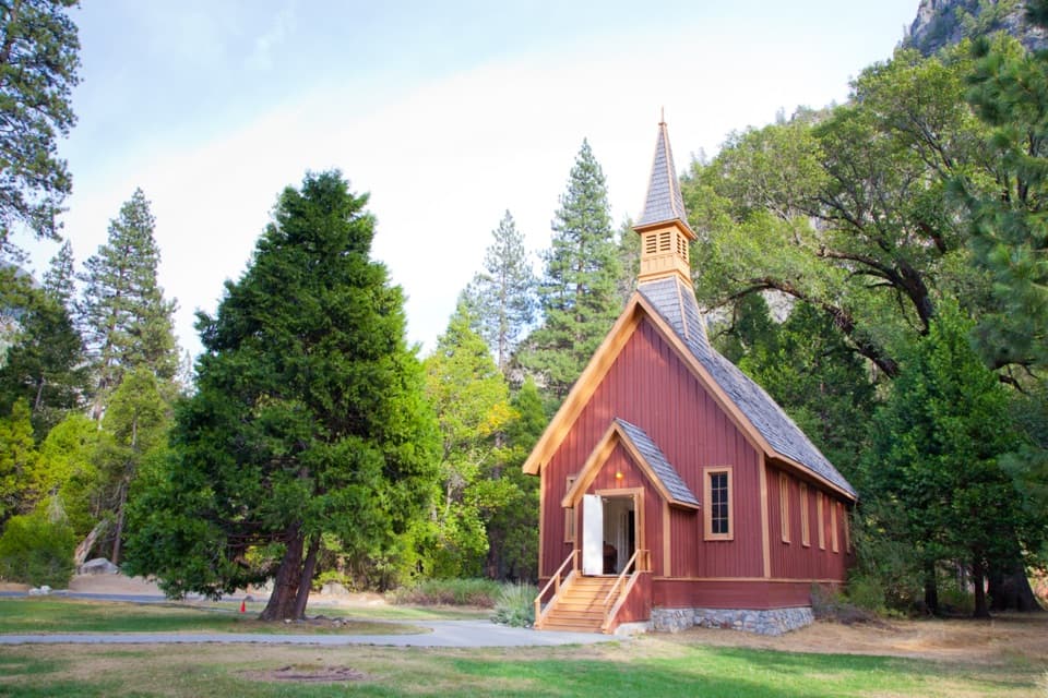 47Yosemite ChapelA quiet history stop with a meadow view of the falls.
 Tuolumne Meadows LodgeCanvas cabins beside the river, with trails on your doorstep.
 48Sentinel BeachPicnic under Sentinel Rock with Upper Yosemite Fall in view.
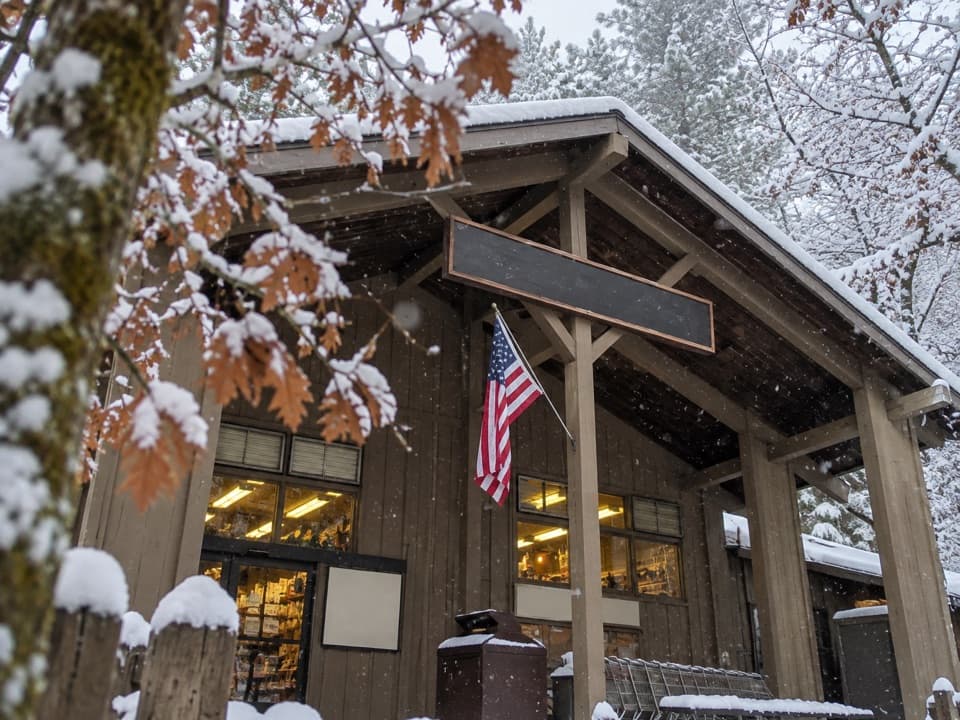 Village StoreGroceries, camp supplies and gifts under one roof.
 Housekeeping CampA fire-ring camp with real beds, near the Merced River.
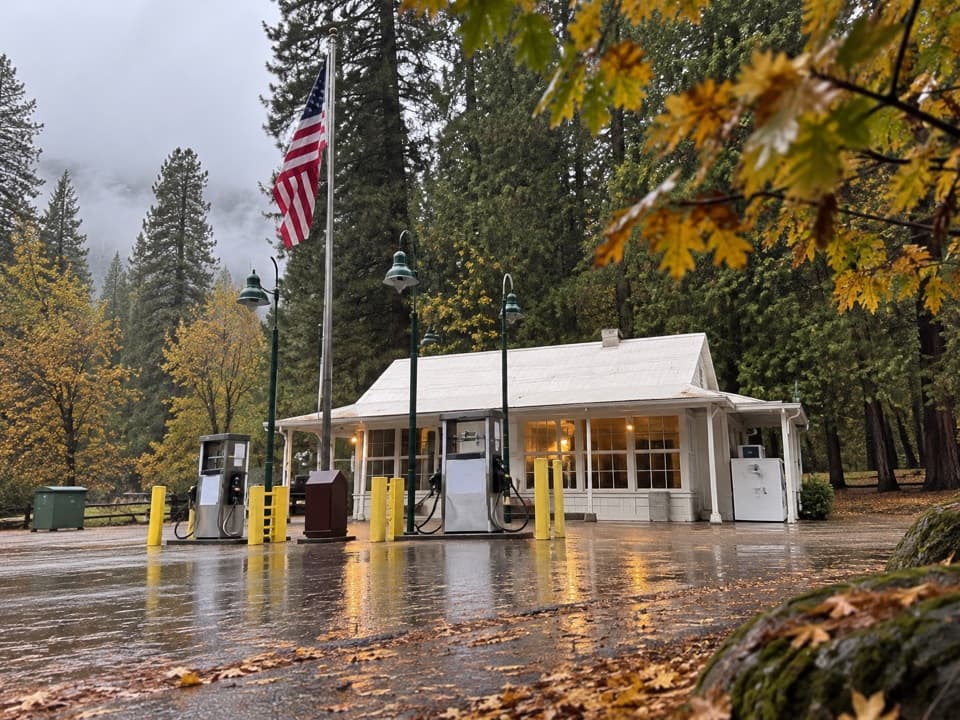 Wawona Store and Gas StationA handy stop for fuel and camp basics.
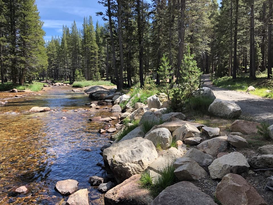 Tuolumne Meadows CampgroundA high-country base for Tuolumne's hikes, lakes, and river.
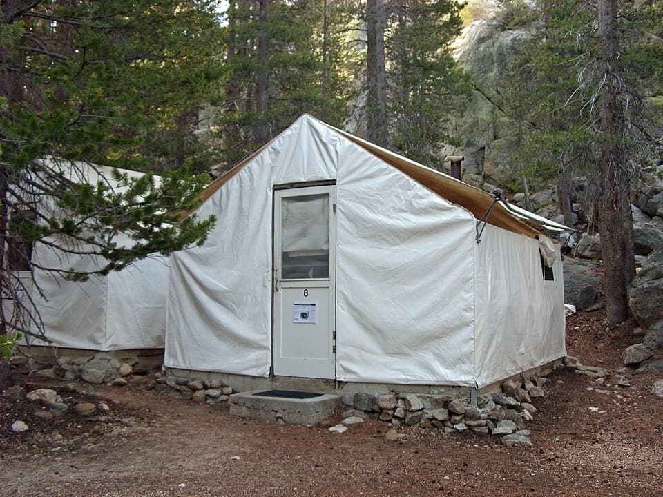 Glen Aulin High Sierra CampA waterfall-side cabin camp, reached only on foot.
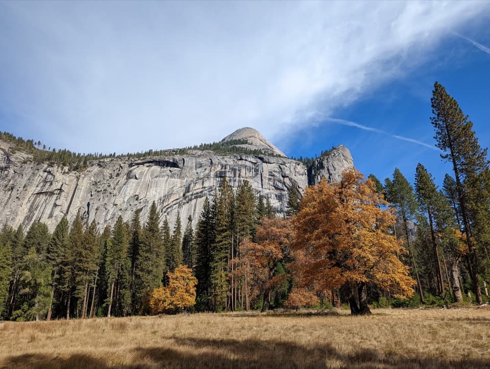 49Stoneman MeadowHalf Dome glows above an easy boardwalk through meadow grass.
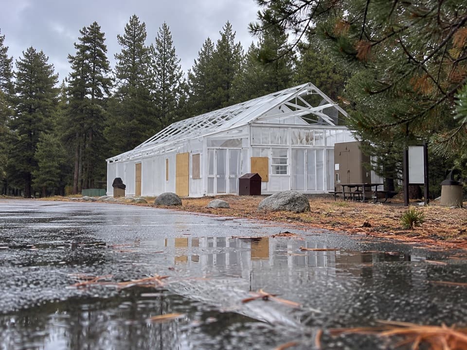 Tuolumne Meadows Store and GrillLunch and trail basics before the high-country miles.
 Little Yosemite Valley CampgroundA backcountry overnight closer to Half Dome, if your permit allows it.
 50Yosemite CemeteryA small cemetery holds the people behind the valley’s early story.
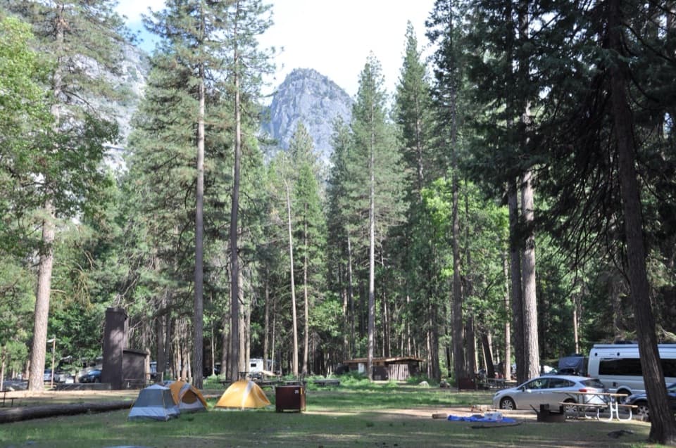 Lower Pines CampgroundA riverside Yosemite Valley base with free shuttle access.
 May Lake High Sierra CampA backcountry bed and meal beneath Mount Hoffmann.
 The Cascades Picnic AreaA shady lunch stop with a waterfall just across the road.
 North Pines CampgroundRiverfront camping with a chance of Half Dome through the trees.
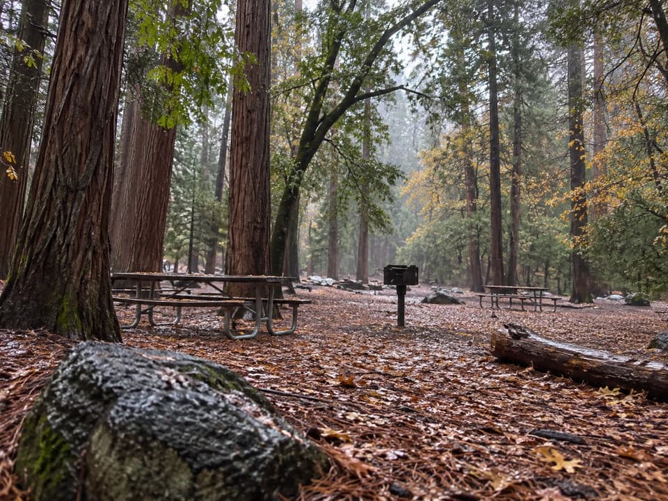 El Capitan Picnic AreaPicnic tables and February access to Horsetail Fall’s elusive glow.
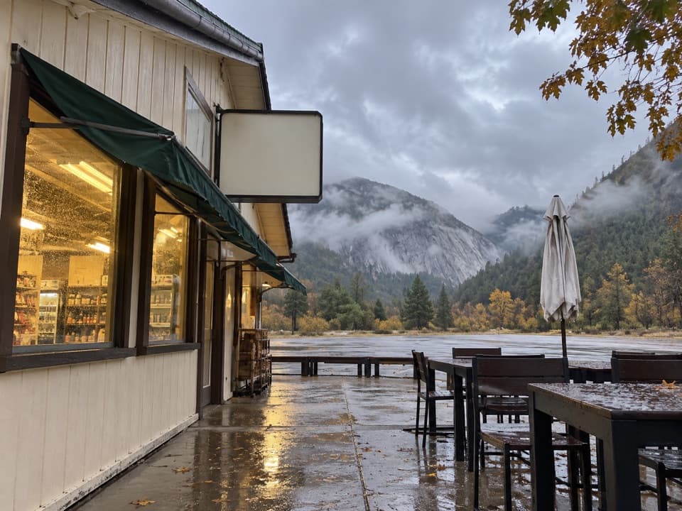 El Portal Gas Station and MarketFuel, groceries and EV charging on Yosemite's western approach.
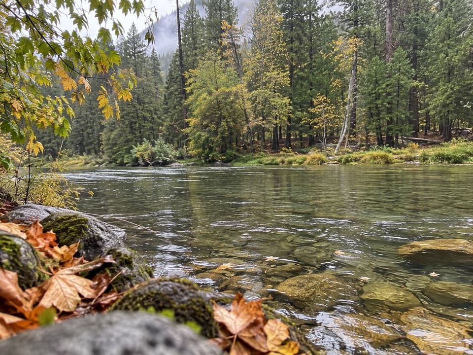 Wawona CampgroundA riverfront base near Mariposa Grove.
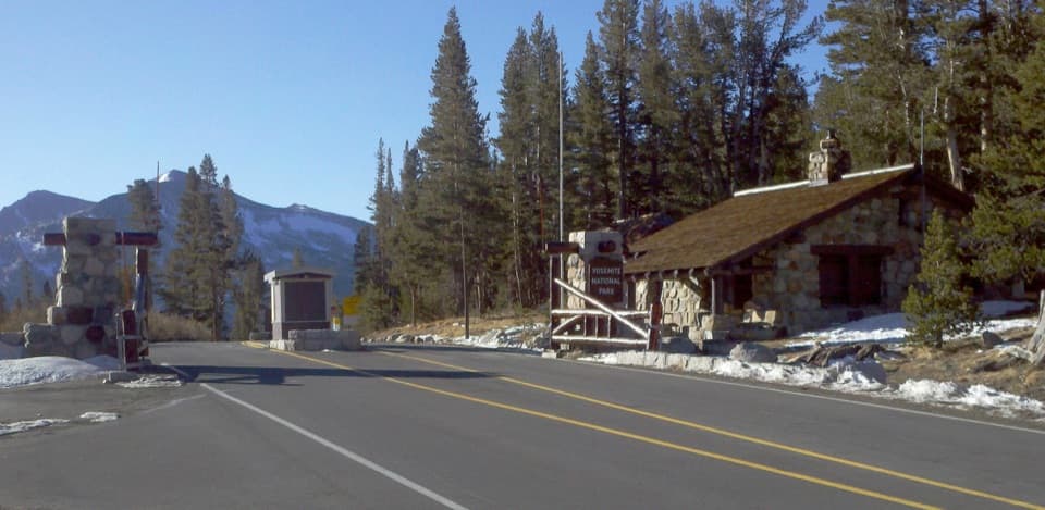 Tioga Pass EntranceThe eastern gateway sits 9,945 feet up on the Sierra crest.
 51Siesta LakeA quiet alpine lake with forest reflections.
 Sunrise High Sierra CampA meadow-side overnight with tent cabins and meals at 9,400 feet.
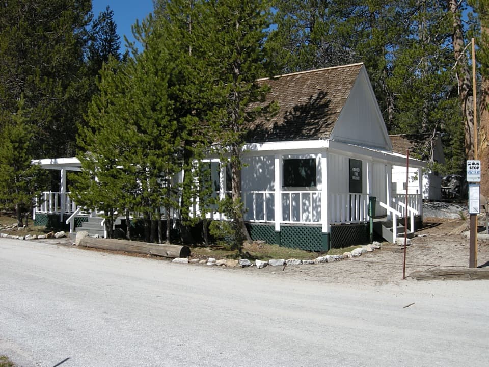 White Wolf LodgeA remote cabin base near two high-country lake hikes.
 52Crane Flat Fire LookoutA 1931 fire tower and broad views, with a working helibase nearby.
 Hodgdon Meadow CampgroundA west-side base, with Yosemite Valley about 45 minutes away.
 Church Bowl Picnic AreaPicnic tables with Half Dome and Glacier Point across the meadow.
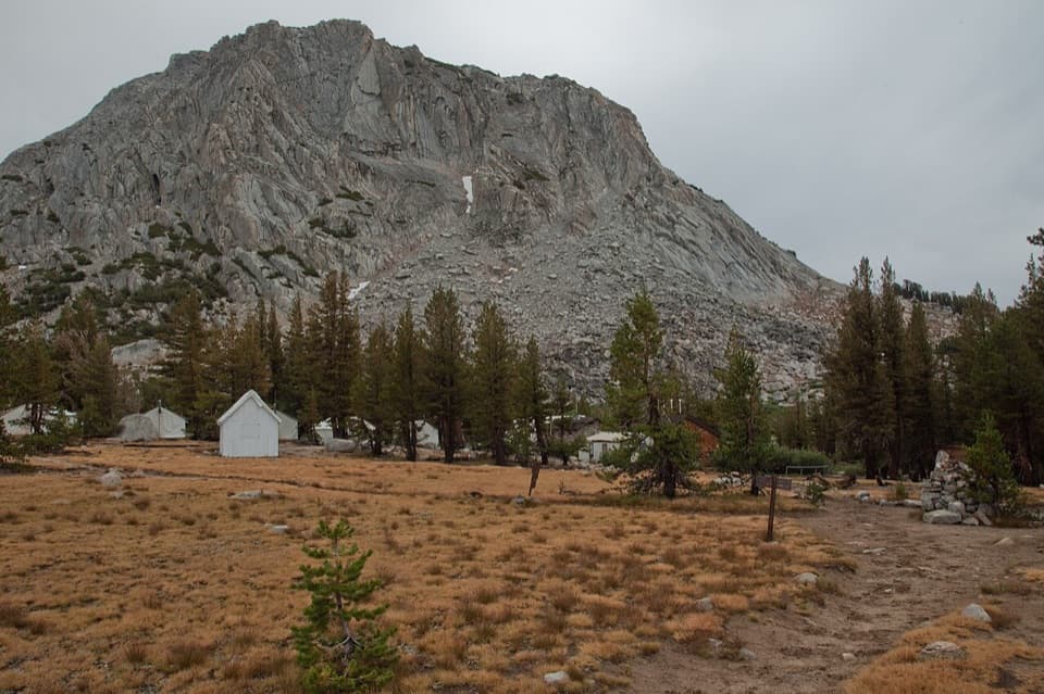 Vogelsang High Sierra CampA strenuous hike opens into alpine lakes and sunset alpenglow.
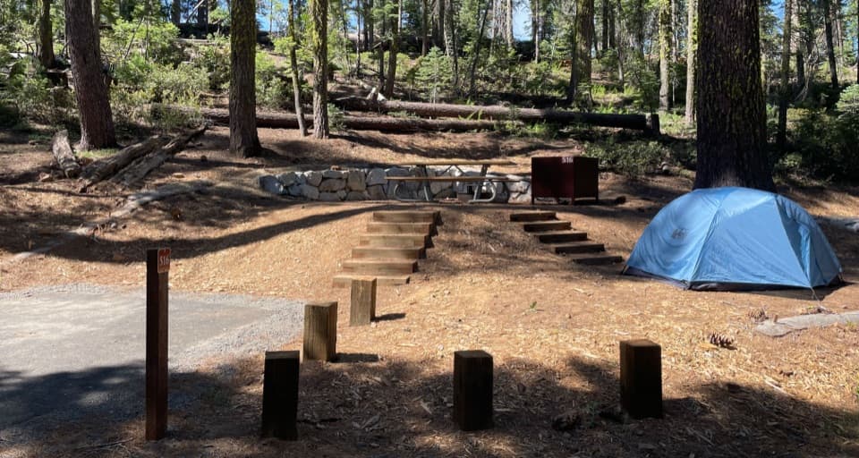 Crane Flat CampgroundForest camping near Yosemite Valley and two giant sequoia groves.
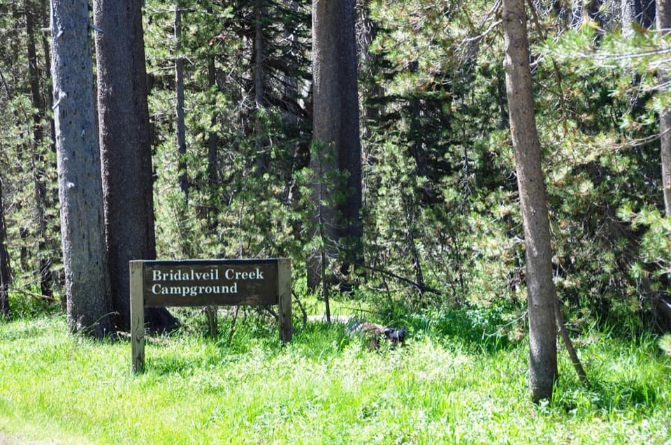 Bridalveil Creek CampgroundA 7,200-foot base for the Glacier Point Road trails.
 Merced Lake High Sierra CampRemote tent-cabin lodging beside Merced Lake, reached only on foot.
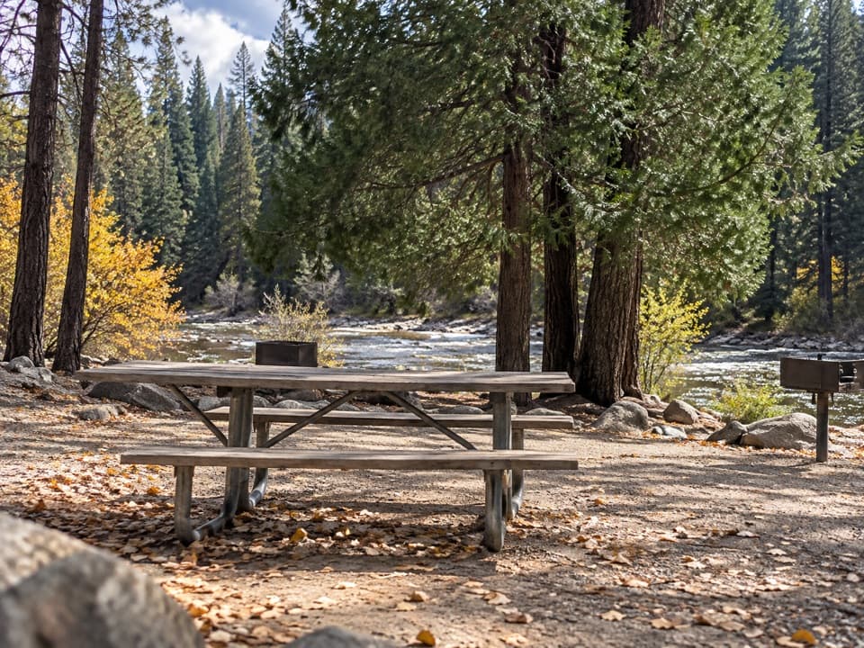 Wawona Picnic AreaA practical riverside meal stop on Wawona Road.
 White Wolf CampgroundA quiet forest base near the Lukens and Harden Lakes trailheads.
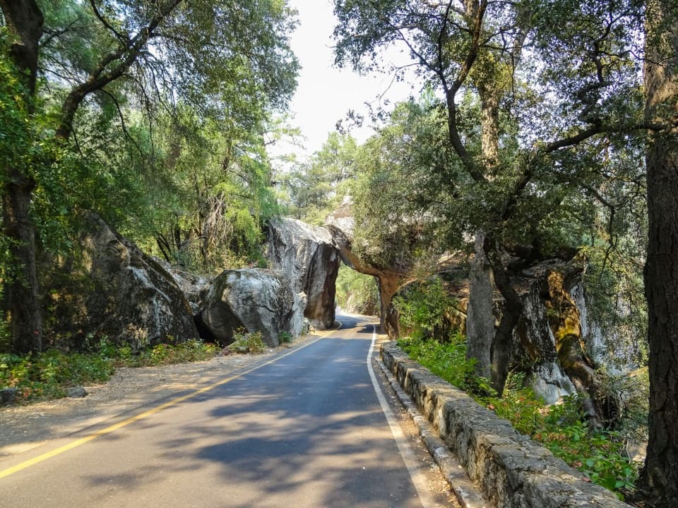 Arch Rock EntranceDrive beneath the boulder arch at the Highway 140 entrance.
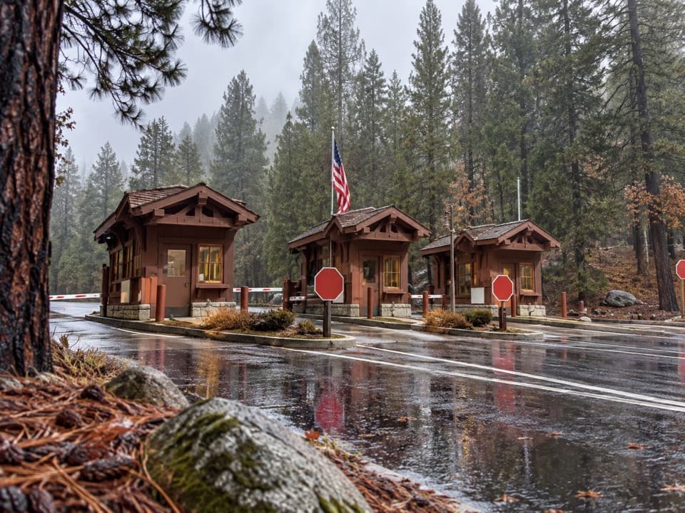 Big Oak Flat EntranceThe park’s colorful sign is just beyond the Highway 120 fee booths.
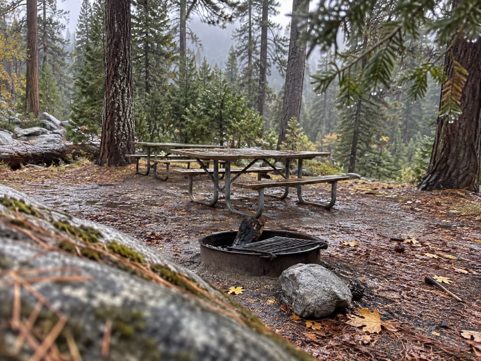 Yosemite Creek Picnic AreaA quiet, pine-shaded picnic beside Yosemite Creek.
 Porcupine Flat CampgroundAn 8,100-foot base for Tioga Road's high-country stops.
 Tamarack Flat CampgroundForest camping with a trail toward Yosemite's North Rim.
 Yosemite Creek CampgroundRemote high-country camping comes after five rough miles off Tioga Road.
 Wawona Horse CampA small stock camp beside the South Fork Merced River.
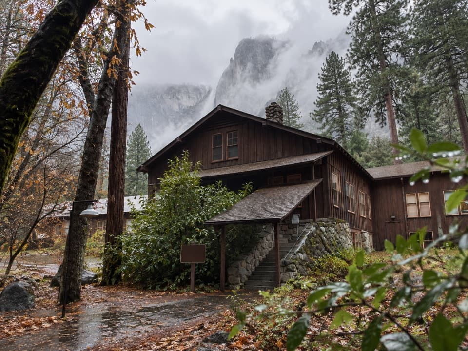 Yosemite Medical ClinicHelpful Valley care, with walk-in availability that can vary.

“You're approaching Tunnel View, where El Capitan, Bridalveil Fall and distant Half Dome share one view into the Valley.”
Yosemite Tour Guide
Yosemite, narrated.
Parkwolf is a GPS audio tour guide for Yosemite National Park. As you drive, it chimes in with what’s ahead: hidden gems, upcoming stops, history, geology, and wildlife, right through your car’s speakers.
See the Yosemite audio tourRecorded for this place
Tunnel View0:00 / 0:31
“You're approaching Tunnel View, where El Capitan, Bridalveil Fall and distant Half Dome share one view into the Valley.”
Plays as you drive up to Tunnel View in the Parkwolf Yosemite Tour Guide.
More stories near here in the app
- Weighing the Winter’s Water
- Valley View
- A Bat You Can Hear
- Bridalveil Fall
- 125 audio storiesacross Yosemite’s roads, triggered by GPS as you drive
- Wildlife heatmapsfor Black Bear, Peregrine Falcon, Mule Deer, and 13 more
- Works offlinemaps, 141 trails, 99 places, and audio download before you lose signal
- CarPlay readysimple controls built for the drive
“We just drove through Yosemite and it made our trip listening to this app as we drove through. Like having a tour guide in the car with you.”

