
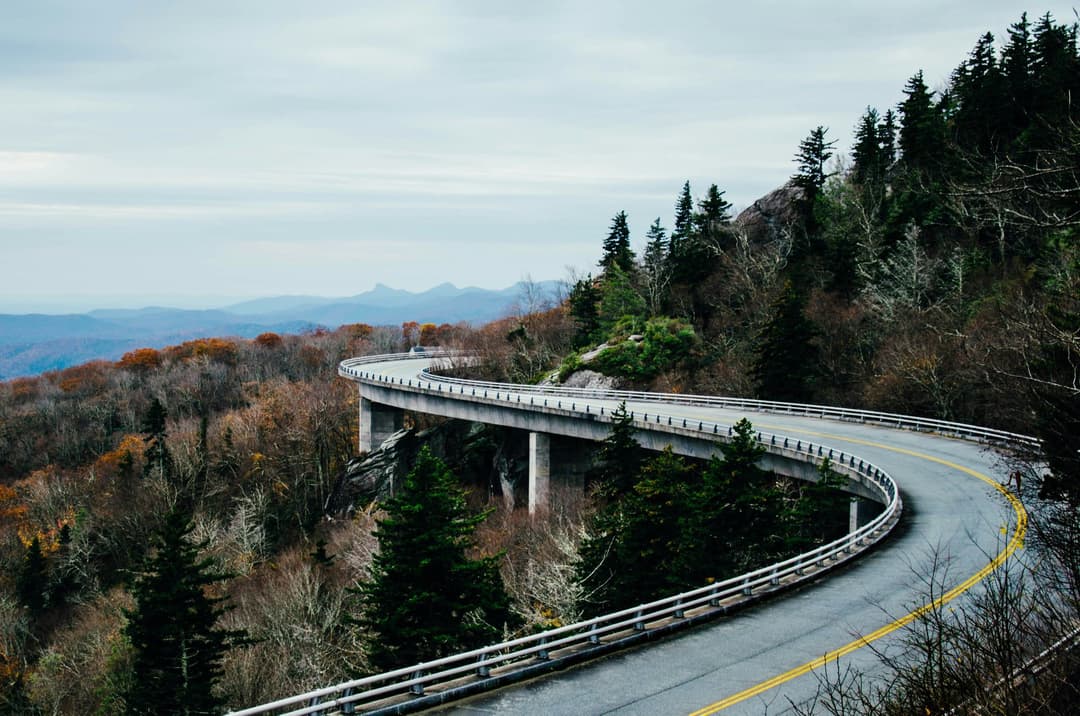
All Blue Ridge Parkway places
251 places
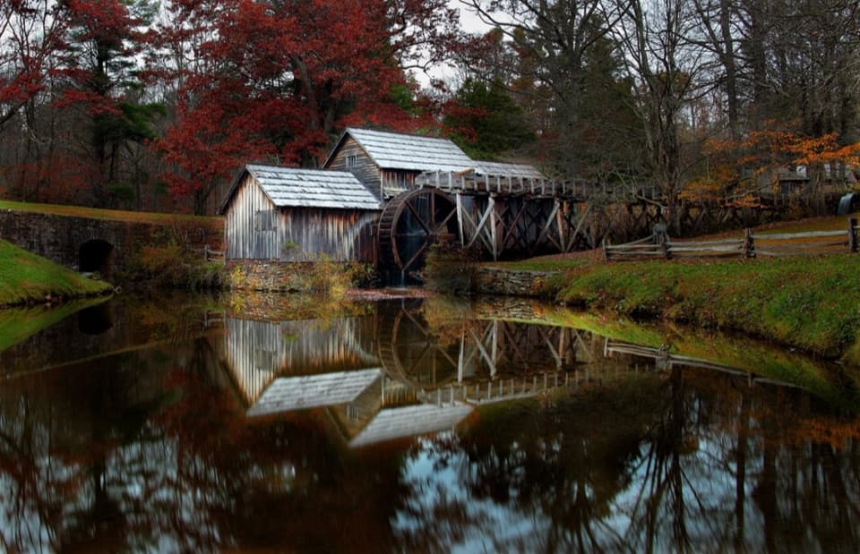 1Mabry MillSee the mill and blacksmith shop on an easy half-mile loop.
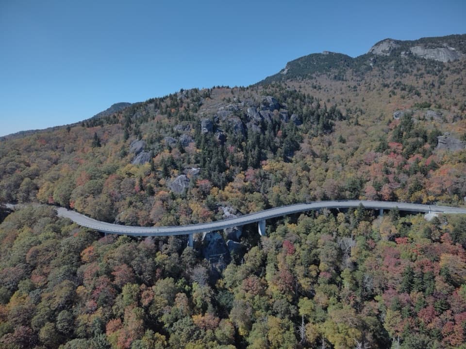 2Linn Cove ViaductA sweeping concrete curve hugs Grandfather Mountain’s steep slopes
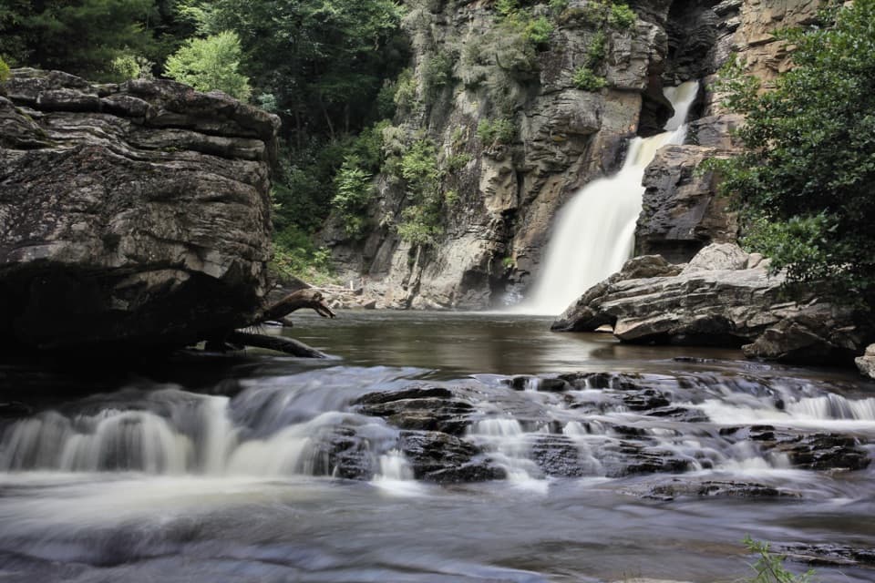 3Linville FallsTwo waterfall tiers and four gorge overlooks make this a real walk.
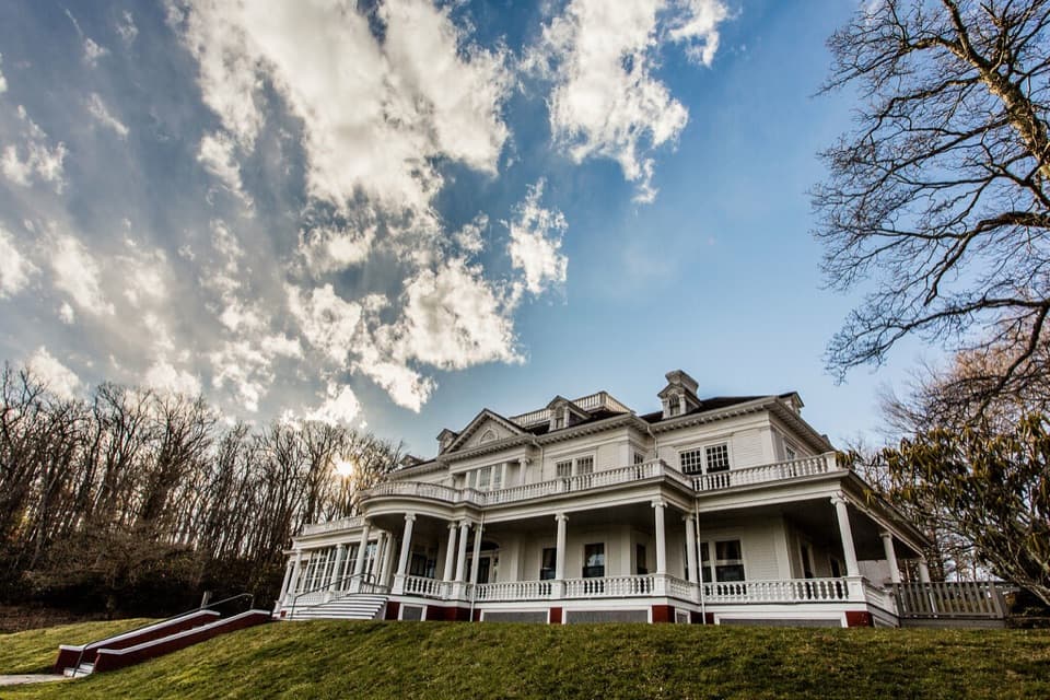 4Moses H. Cone Memorial Park and Flat Top ManorA 20-room manor anchors 25 miles of winding carriage roads
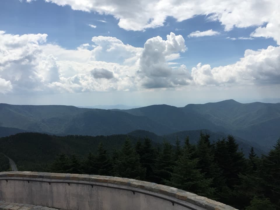 5Mount Mitchell SummitStand on the highest summit east of the Mississippi.
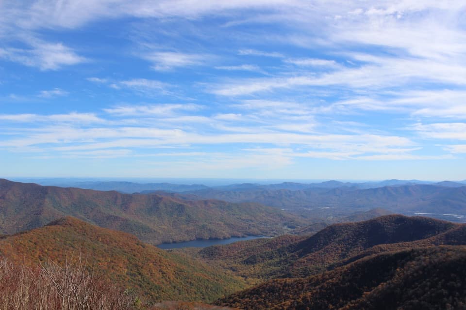 6Craggy PinnacleA short climb for a full-circle Blue Ridge panorama.
 7Richland Balsam OverlookA roadside high point with a spruce-fir loop for more.
 8Folk Art CenterRotating Appalachian craft galleries and seasonal demonstrations.
 Waterrock Knob Visitor Center and OverlooksThe views start in the parking lot; the summit trail is extra.
 9Cowee Mountain OverlookA 180-degree ridge panorama that catches the last light.
 10Blue Ridge Music CenterA free look at the roots behind Blue Ridge mountain music.
 11Looking Glass FallsA 60-foot cascade you can see without committing to a hike.
 Blue Ridge Parkway Visitor CenterA handy first stop for route maps, ranger advice and regional exhibits.
 Pisgah InnMountain-view dining and lodging above 5,000 feet.
 12Crabtree FallsA 60-foot cascade worth a steep hike in and climb back out.
 13Raven’s Roost OverlookA west-facing ledge with a long look into the Shenandoah Valley.
 14Grandfather Mountain Nature ParkA summit drive, a mile-high bridge and plenty of reasons to stop.
 Craggy Gardens Visitor CenterShort climb to a rhododendron bald and a CCC shelter.
 15Sharp TopA steep climb pays off in 360-degree mountain views.
 16Humpback RocksA steep mile to a bare summit above two valleys.
 17Devils Courthouse OverlookA steep half-mile earns a four-state view on clear days.
 Humpback Rocks Visitor Center and Mountain FarmA short path through relocated 1890s Appalachian farm buildings.
 18Graveyard Fields OverlookA roadside overlook with a short loop and steeper waterfall spurs.
 19Peaks of Otter Lodge and Abbott LakeAn easy lake loop, lodge meal, and Sharp Top views.
 20Black Balsam KnobA short climb opens onto a high grassy bald and wide views.
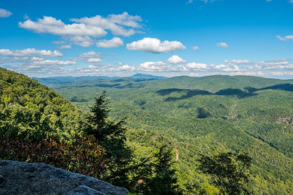 21Chestoa View OverlookA stone balcony frames North Cove and distant Grandfather Mountain.
 22Rough Ridge OverlookSteep climb puts the Linn Cove Viaduct below Grandfather Mountain.
 Peaks of Otter Visitor CenterStart with trail maps, local history, and a Peaks passport stamp.
 23Yonahlossee OverlookA close view of Linn Cove Viaduct curling around the mountainside.
 24Sliding RockA cold, 60-foot slide over rock and into a plunge pool.
 25Mount Pisgah SummitSteep 1.6-mile climb, wide summit views over the French Broad Valley.
 26Looking Glass Rock OverlookRain or ice can make this granite face shimmer like glass.
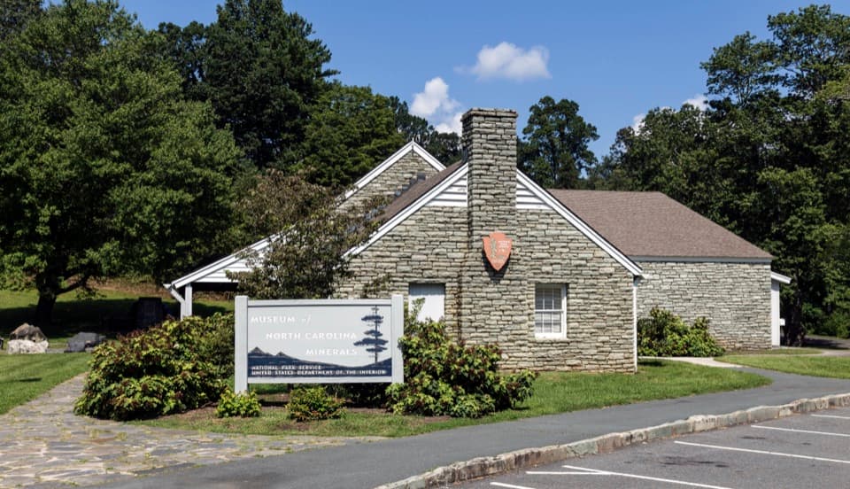 27Museum of North Carolina MineralsA quick stop for hands-on geology and a surprisingly deep mining story.
 28Thunder Hill OverlookA sweeping Piedmont view with a worthwhile walk across the Parkway.
 29The Cascades at E.B. Jeffress ParkA shady waterfall loop with two overlooks and a steep climb back.
 30Cradle of ForestryA forest-school campus makes conservation history part of the walk.
 31Thunderstruck Ridge OverlookAn easy pull-off for layered Blue Ridge views.
 32Cold Mountain OverlookA high roadside look at the peak that inspired Cold Mountain.
 33Second FallsA tiered waterfall at the end of a short, steep spur.
 34Frying Pan Fire TowerA 70-foot lookout caps a steady climb to broad mountain views.
 The Bluffs RestaurantClassic Southern comfort food in a restored roadside dining room.
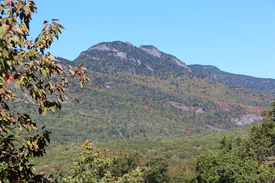 35Grandfather Mountain OverlookA clear first view of Grandfather Mountain from the Parkway.
 36Brinegar CabinA historic farmstead with a cabin, springhouse and orchard view.
 37Price LakeA lakeside loop for reflections and Grandfather Mountain views.
 38Glassmine Falls OverlookAfter rain, look for the falls across Horse Range Ridge.
 39Black Mountains OverlookA west-facing panorama of the Black Mountains and South Toe valley.
 40James River Visitor Center and Canal LockShort loop to a historic lock beside the James River water gap.
 41Explore ParkTrails, river access and family adventures just off the Parkway.
 42Thunder Ridge OverlookA short loop opens onto Arnold Valley beside the Appalachian Trail.
 43Wildcat Rocks OverlookA 1930s stone platform opens onto Basin Cove and the Blue Ridge.
 44Rock Castle Gorge OverlookA broad gorge panorama for a quick Parkway pull-off.
 45Yankee Horse Ridge Overlook and Wigwam FallsA small waterfall and a logging railroad on one short walk.
 46Apple Orchard Mountain OverlookA no-hike sunrise stop framed by wind-shaped oaks.
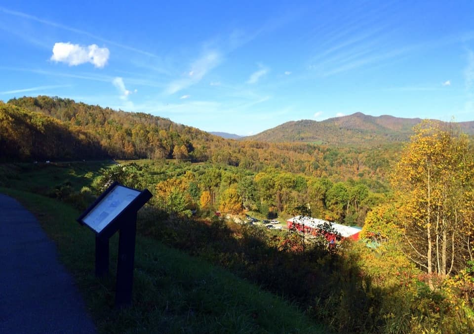 47The Loops OverlookLeaf-off rail views, sunrise, and a chance of Appalachian fogfall.
 48Pounding Mill OverlookA clear-day panorama with Looking Glass Rock to the south.
 49Roanoke Valley OverlookA brief valley stop, with a wider view from the bridge.
 Doughton Park Visitor CenterTrail maps, local exhibits, and a passport stamp in one stop.
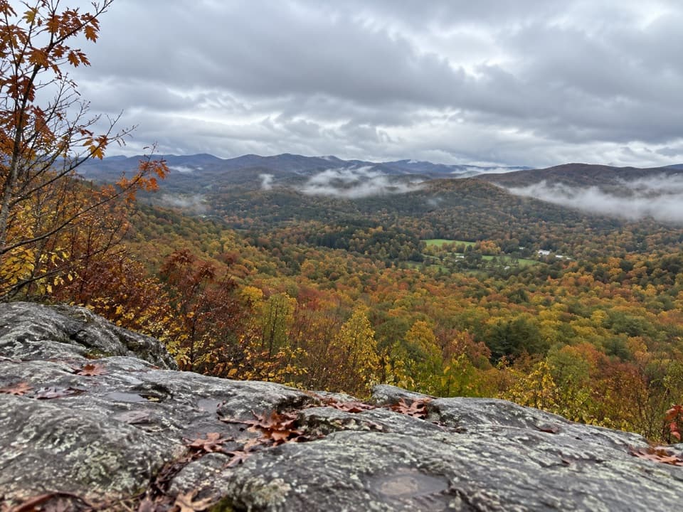 50Flat Rock OverlookA short rocky walk opens onto Linville Valley and mountain views.
 51Arnold Valley North OverlookA roadside stop with a boulder perch above Arnold Valley.
 52Grandview OverlookA no-hike pull-off for a wide look over the Yadkin Valley.
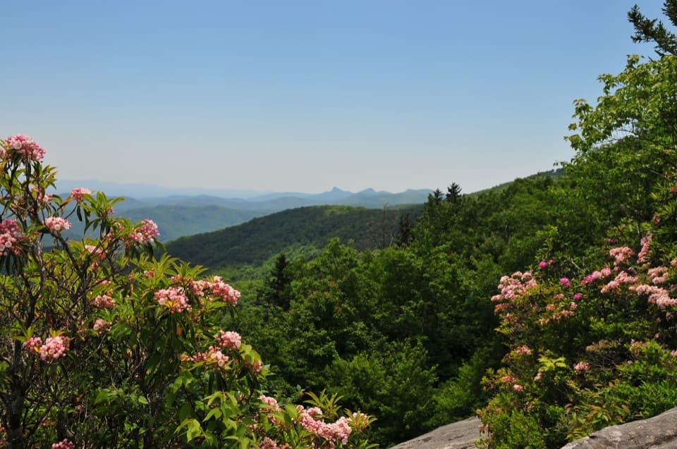 53Beacon Heights OverlookTwo quartzite viewpoints, reached by a short forest climb.
 54Johnson FarmThe farmstead predates the Parkway and rewards the wooded hike.
 Sunset Field OverlookA waterfall trail, A.T. spur, and 40-mile summit view.
 55Fox Hunters Paradise OverlookTwo pullouts make a long mountain view an easy Parkway break.
 56Buck Spring Gap Overlook and Buck Spring Lodge SiteMountain views and a quick walk through Vanderbilt’s old retreat grounds.
 57The Great Valley OverlookA quick pull-off with a long look across the Great Valley.
 58Raven Rocks OverlookA boulder perch for a northwest mountain view.
 59Pine Tree OverlookA pine splits a dawn view toward the Peaks of Otter.
 60The Lump OverlookA short climb adds a Yadkin Valley view above the pull-off.
 61Graybeard Mountain OverlookSeven peaks below Graybeard, sometimes capped by a gray cloud.
 62Three Ridges OverlookA quick ridgeline view with Appalachian Trail access.
 63Lost Cove Cliffs OverlookA picnic pullout for a glimpse of Lost Cove’s wooded cliffs
 64Mount Pisgah OverlookRolling Blue Ridge views from a roadside parking lot.
 Groundhog Mountain Picnic Area and Observation TowerClimb a 1942 log tower, then picnic among historic fence displays.
 65Roanoke River OverlookA low roadside overlook with a trail beneath the river bridge.
 66Jesse Brown Cabin and Cool Springs Baptist ChurchA short walk reaches a cabin, springhouse and church in a meadow.
 67Jumpin’ Off Rocks OverlookA wooded mile ends at a wide mountain panorama.
 68Green Knob OverlookA quick pull-off with wide ridges, Lake James, and Linville Gorge.
 69Plott Balsam OverlookA mountain pull-off with a Plott Hound story
 70Moore Cove FallsA 0.7-mile forest walk to a waterfall under a broad rock ledge.
 71Otter Lake OverlookA small lake and stepped stone dam just off the Parkway.
 72Air Bellows OverlookA quick pull-off for valley farms and layered Blue Ridge ridges.
 73Tanbark Ridge OverlookAn east-facing pullout for sunrise over Blue Ridge ridgelines.
 74Pine Spur OverlookA valley overlook with a recreation plan that never took shape.
 75Yadkin Valley OverlookA quick pull-off for a wide view across the Yadkin River Valley.
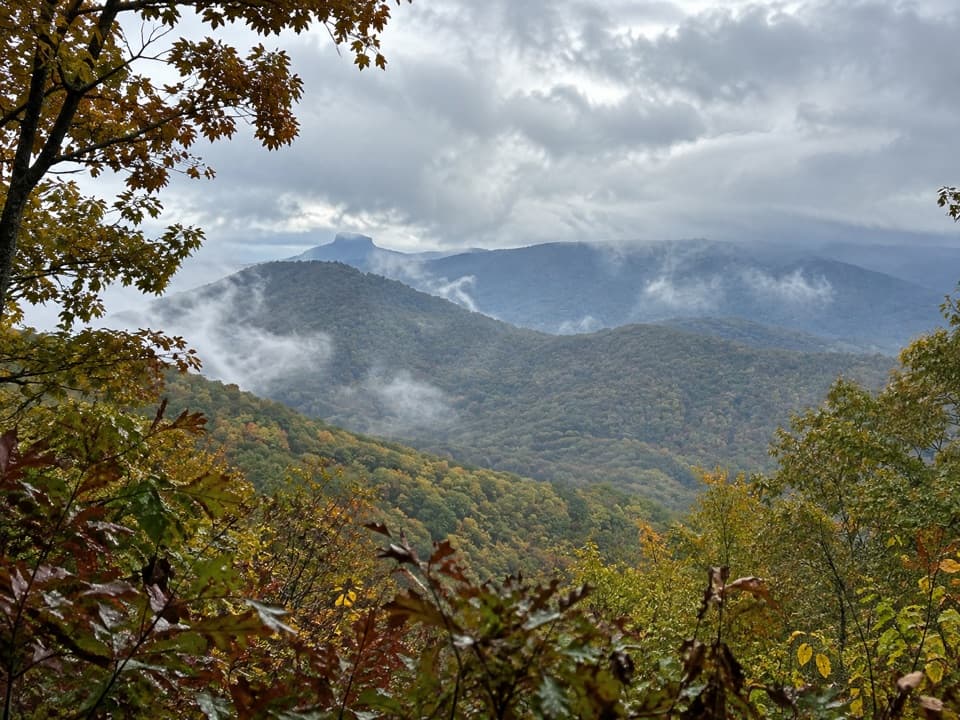 76Table Rock OverlookPick out Table Rock's tilted summit beyond a long, level ridge.
 77Alligator Back OverlookSpot the notched ridge, or hike uphill for a broader view.
 Northwest Trading PostA trading post with a Parkway concession history dating to 1958.
 78Devil’s Garden OverlookA natural V frames three named Blue Ridge peaks.
 79Mount Mitchell OverlookA signed Parkway view toward Mount Mitchell, miles before its summit.
 80Cherry Cove OverlookAn easy pullout for mountain layers and Looking Glass Rock.
 81Twenty Minute Cliff OverlookA quick valley view with a cliffside cue to sunset.
 82Wilson Creek Valley OverlookA quick pullout for South Mountain's layered ridges.
 83Mills River Valley OverlookTwo valley views and a rocky trail in one roadside stop.
 84Polly Wood’s OrdinaryA relocated 19th-century waystation tucked into the Peaks of Otter scene.
 85The Priest OverlookA quick roll call of nearby peaks, not a guaranteed panorama.
 86Harvey’s Knob OverlookGreat Valley views and fall raptor migration from the ridge.
 87Puckett CabinA quick roadside stop for Orlean Puckett’s remarkable midwife story.
 88Doubletop Mountain OverlookA quick milepost stop for forested valleys and layered ridges.
 89The Saddle OverlookTwo mountain views and fall hawks in a quick Parkway pull-off.
 90Caney Fork OverlookLayered ridgelines make this a good stop for sunset.
 Rocky Knob Visitor CenterTrail tips and a passport stamp before you explore Rocky Knob.
 Cumberland Knob Recreation AreaAn early Parkway picnic stop with an easy half-mile loop.
 91Rock Point OverlookA quick sunset stop with a broad view across Back Creek Valley.
 92East Fork OverlookMountain layers at the headwaters of the Pigeon River
 93Cranberry Ridge OverlookA northwest mountain view framed by late-summer cranberries.
 94Browning Knob OverlookA high-elevation view with a story about the Parkway’s route.
 95Cahas Knob OverlookA grassy pull-off with a long Appalachian mountain view.
 96Stone Mountain OverlookA roadside pause for the distant pale granite dome.
 97Wilson Creek OverlookA trail drops beneath the bridge to Wilson Creek.
 98Beartrap Gap OverlookA brief stop for a close-in, partly screened ridge view.
 99Thomas Divide OverlookA quick pull-off for a tree-framed look at layered ridges.
 100Shenandoah Valley OverlookA quick valley view, when the trees leave an opening.
 101Bullhead Mountain OverlookA brief stop for the bull-shaped ridge and layered mountain view.
 102Mt. Lyn Lowry OverlookThe easiest view of Woodfin Cascades is best after leaf fall.
 103Basin Cove OverlookA shady roadside pause above the community devastated by the 1916 flood.
 104Elk Mountain OverlookAn easy pullout for wide Yadkin Valley and Blue Ridge views.
 105Ridge Junction OverlookQuick roadside views across the Black Mountains and South Toe Valley.
 106Big Witch OverlookA quick Parkway pull-off with a mountain view and a Cherokee story.
 107Greenstone OverlookA quick valley view and a short Greenstone geology walk.
 108Devil’s Backbone OverlookA broad mountain panorama from a quick Parkway pull-off.
 109Courthouse Valley OverlookA long valley view, clearest from the northern lot.
 110Roy Taylor Forest OverlookA valley view and a small memorial to Congressman Roy Taylor.
 111The Slacks OverlookA brief valley view and a useful start for White Rock Falls.
 112Bluff Mountain View OverlookA quiet pull-off for Bluff Mountain and Basin Cove views.
 113Craggy Dome OverlookA roadside view of the rounded Craggy Dome.
 114Woodfin Cascades OverlookA short waterfall stop, best after rain.
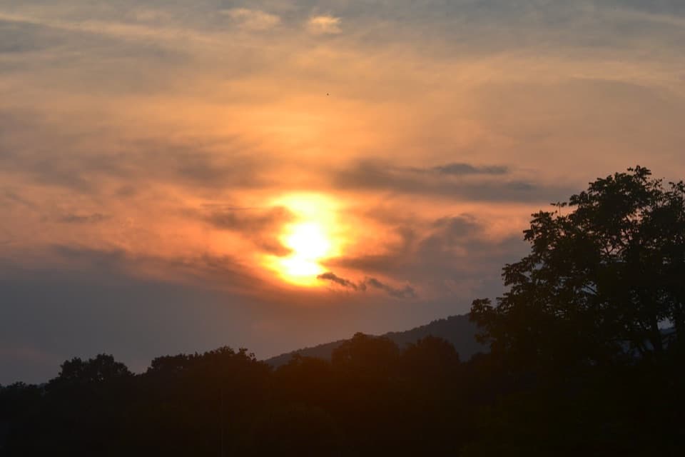 115Buena Vista OverlookA quick look toward Buena Vista from the Parkway.
 116Granite Quarry OverlookFind the quarry as a pale speck in this broad mountain panorama.
 117Lewis Fork OverlookA short stop for a partly screened ridge view after leaf fall.
 118French Broad OverlookA brief river view, best when the trees are bare.
 119Big Spy Mountain OverlookA brief grassy climb opens a quieter Blue Ridge view.
 120Mahogany Rock OverlookFall hawk migration gives this partly screened overlook a reason to stop.
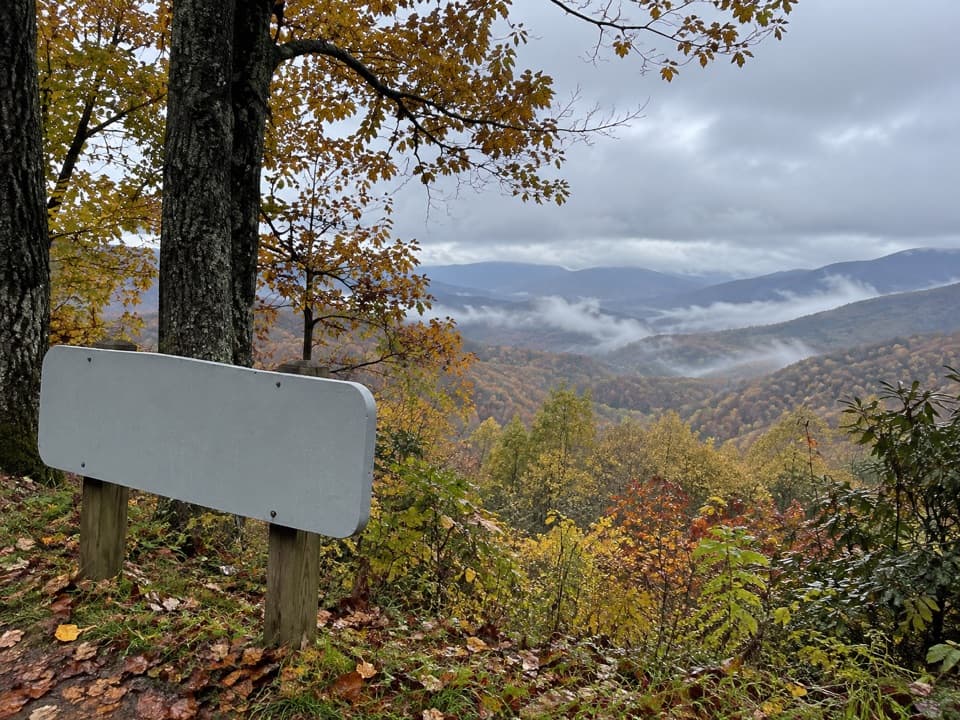 121North Toe River Valley OverlookA quick pull-off for layered views across the North Toe River valley.
 122Cradle of Forestry OverlookPull off for Looking Glass Rock and a broad eastern mountain view.
 123Woolyback OverlookA quick roadside pause for a broad, layered mountain view.
 Smart View Recreation AreaPicnic grills, a cabin loop, and a Piedmont view.
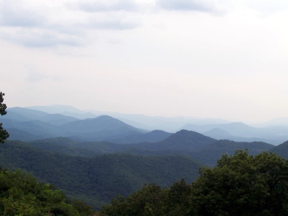 124Chimney Rock Mountain OverlookA quick pull-in for Virginia’s layered mountain ridges
 125View Pilot MountainA handy Parkway pause, but the mountain view is uncertain.
 126Betsey’s Rock Falls OverlookA distant waterfall shows best after rain or when trees are bare.
 127Lane Pinnacle OverlookA quick pull-off lines up three named mountain landmarks.
 128Rough Butt Bald OverlookA high-elevation pull-off for a long south-facing mountain view.
 129Jenkins Ridge OverlookA quick mountain-view pause, especially when autumn color is out.
 130Haw Creek Valley OverlookA quick valley view, with Asheville and eight named peaks in sight.
 131Bald Mountain OverlookA close view of Bald Mountain along the Parkway at milepost 22.1.
 132House Mountain OverlookA quick pull-off where two distant peaks merge into one.
 133Terrapin Mountain OverlookRead Terrapin Mountain's name on the sign, then see the ridge.
 134Pilot Ridge OverlookA quick northbound pullout; trees may screen the mountain view.
 135Bull Creek Valley OverlookA quick valley view with a sobering piece of Parkway history.
 136Pink Beds OverlookA pullout above the Pink Beds valley at milepost 410.3.
 137Bluff Mountain OverlookA tunnel-side stop with a fire-tower story on the ridge above.
 138Mount Jefferson OverlookA quick pull-off for Mount Jefferson across wooded ridges.
 139Green Mountain OverlookA brief stop, best when the leaves are down.
 140Hominy Valley OverlookA signed pull-off for layered valley views and fall color.
 141Haywood-Jackson OverlookA clear sunrise view and the start of Richland Balsam’s summit loop.
 142Fork Ridge OverlookA paved roadside stop for a long look over layered ridges.
 143Rockfish Valley OverlookA broad first look across Rockfish Valley
 144View Roanoke BasinA quick pull-off where trees often screen the basin.
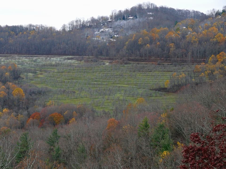 145North Cove OverlookValley views and a railroad climb reward a quick stop.
 146Mount Hardy ViewA quick pull-off for a memorial forest, not an open vista.
 147View Hornbuckle ValleyA high ridge pause above a valley 1,100 feet below.
 Price Park Picnic AreaA creekside meal with Boone Fork Trail right there.
 148Rakes Mill PondA quick pond stop with a surviving stone spillway.
 149Headforemost Mountain OverlookFlat Top was once Round Top; see how the view explains it.
 150Singecat Ridge OverlookMackey Mountain and Onion Knob frame this roadside view.
 151Steestachee Bald OverlookSee the Parkway wind through the mountain ridge from here.
 152Tanbark Ridge TunnelStone arch, deep shade, and a tunnel that cuts through the mountain.
 153Upper Goose Creek Valley OverlookA quick roadside pause for broad views across Goose Creek Valley.
 154Sheets Gap OverlookTwo tables make this a practical pause along the Parkway.
 155View Calloway PeakThe trail start may be more useful than its overgrown view.
 156Laurel Knob OverlookA roadside view with a landmark tree and a second name.
 157Lone Bald OverlookA quick ridge stop for valley views on both sides.
 158Fed Cove OverlookAt 4,550 feet, but trees have claimed most of the view.
 Peaks of Otter Picnic AreaA shady creekside picnic stop with room to spread out.
 Mount Pisgah CampgroundA cool, wooded high-country base beside Parkway trails.
 159Fork Mountain OverlookA signed stop for a direct look at Fork Mountain.
 160Onion Mountain OverlookA quick stop with a southeast view toward the Piedmont.
 161Piedmont OverlookA quick stop for Parkway farming history, not a guaranteed big view.
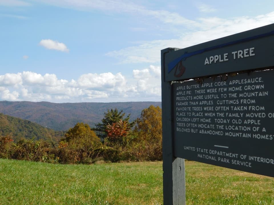 162Heffner Gap OverlookA mountain-view stop with an apple orchard and 1780 trail history.
 163Cove Field Ridge OverlookA narrow gap frames the ridge with a mountain beyond.
 Rocky Knob Picnic AreaA picnic stop with an easy loop and views toward Buffalo Mountain.
 Julian Price Park CampgroundA wooded base for Price Lake paddling and nearby Parkway hikes.
 164Afton OverlookA quick first valley view right where the Parkway begins.
 165Black Rock Hill OverlookLook for the dark diorite outcrop when the trees lose their leaves.
 166Three Knob OverlookA quick roadside pause for layered mountain and valley views.
 167Funnel Top OverlookA quick pull-off for a wide sweep of Blue Ridge ridges.
 168Bunches Bald OverlookA quick 4,925-foot pull-off for layered mountain views.
 Craggy Gardens Picnic AreaA cool high-country picnic among summer wildflowers.
 Peaks of Otter CampgroundCamp in a wooded streamside setting near Abbott Lake and mountain trails.
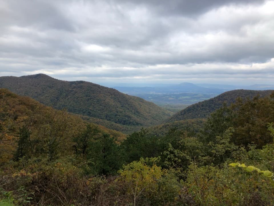 169Irish Creek Valley OverlookA quick pullout where the mountains open onto Irish Creek Valley.
 170Porters Mountain OverlookA quick pull-off for the open Goose Creek Valley view.
 171Tomkins Knob OverlookA short walk leads to a historic cabin and church.
 172Lickstone Ridge OverlookA west-facing Smokies panorama, best when the sky is clear.
 James River Picnic AreaA riverside lunch break with two short trails nearby.
 173Purgatory Mountain OverlookA roadside pause for Purgatory Mountain and James River valley views.
 174Fetterbush OverlookA quick pullout for layered ridges framed by trees.
 175Standing Rock OverlookA giant boulder anchors a quick stop with a leafy valley view.
 Mount Pisgah Picnic AreaOak-shaded tables, shared grills, and a rhododendron loop.
 176Boston Knob OverlookA shaded picnic stop with a short walk and modest mountain view.
 177Montvale OverlookA brief pull-off with layered ridges above Goose Creek Valley.
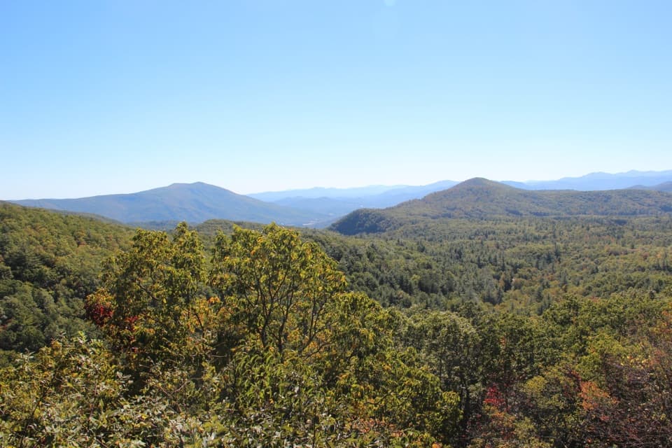 178Bear Den OverlookA quick pull-off for a sweeping, west-facing mountain view.
 179John Rock OverlookA quick forest walk and a broad Blue Ridge panorama.
 Doughton Park Picnic AreaA picnic loop with 1940s tables and a mountain-view finish.
 Doughton Park CampgroundA simple base for nearby hikes and a night outdoors.
 180Mills Gap OverlookA small overlook with a picnic table and Appalachian Trail crossing.
 181Taylor Mountain OverlookA quick pull-off for layered Blue Ridge views.
 Little Glade Mill PondA quiet pondside break, with a short loop and old mill story.
 182Big Ridge OverlookA quick pull-off for layered ridgelines and two trail connections.
 183View WaynesvilleA quick town view, if the trees leave a window.
 184Oconaluftee River OverlookPark north of the bridge for the Oconaluftee River view.
 185Boblett’s Gap OverlookA family cemetery at a tree-screened Parkway overlook.
 186Sims PondA quiet pond stop with a 2.3-mile loop if you want more.
 187Wolf Mountain OverlookA ridge view with a plant-rich seep across the road.
 188Raven Fork OverlookForested ridges reward a pause; Raven Fork can hide behind the leaves.
 Humpback Rocks Picnic AreaA wooded picnic stop with grills and two short trail links.
 189Rice Mountain OverlookA quick pull-off for the wooded ridge of Rice Mountain.
 190View Herrin Knob OverlookA quick ridge view, with pines breaking up the panorama.
 191Village of Saunook OverlookA quick pullout for a broad mountain and valley view.
 Linville Falls CampgroundA basic campground base for Linville Falls, without showers or hookups.
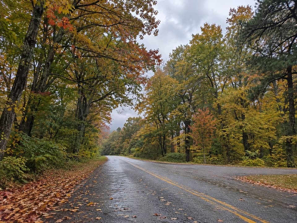 192White’s Gap OverlookA brief milepost pause, with one picnic table for snacks.
 193Poor Mountain OverlookA quick pullout with a clear landmark on the horizon.
 194Ballhoot Scar OverlookA logging scar gives this pull-off a story beyond the valley view.
 Rocky Knob CampgroundA quiet base for tackling the steep Rock Castle Gorge loop.
 195The Riffles OverlookA quick pause beside Otter Creek tumbling over rocks.
 196N & W Railroad OverlookA narrow valley window, with a railroad story.
 197Poages Mill OverlookA quiet Parkway pause above the valley of Back Creek.
 198Beaver Dam Gap OverlookA short Parkway pause for forested ridges, trail history and a picnic.
 Crabtree Falls CampgroundWooded tent and RV sites near the stair-heavy Crabtree Falls trail
 199Otter Creek OverlookA quick Parkway pause, though the creek stays mostly out of view.
 200Read Mountain OverlookA quick stop to trace Read Mountain’s long ridge profile.
 201Masons Knob OverlookA quiet Parkway pullout for a glimpse of Masons Knob.
 202Walker Knob OverlookAt milepost 359.8, this is a better trailhead than viewpoint.
 Otter Creek CampgroundA wooded night in the Parkway's warmer, creek-fed lowlands.
 203Iron Mine Hollow OverlookTwo pullouts frame a wide valley through a mountain V.
 204Lost Mountain OverlookA brief ridge view; two nearby pullouts face the same way.
 205Bad Fork Valley OverlookA quick Parkway pull-off for layered mountain views.
 206Log Hollow OverlookA narrow view reveals Looking Glass Rock's rounded granite face.
 Roanoke Mountain Picnic AreaBring a picnic for shady tables and seasonal bluegrass concerts.
 207Quarry OverlookA broad quarry view is a dramatic change from the usual ridgelines.
 208Slings Gap OverlookA quick gap-side pause, with a modest look toward the plateau.
 209Round Meadow OverlookA quick pull-off for a creekside loop under the Parkway.
 210Wash Creek Valley OverlookA quick pull-off for one long view into Wash Creek Valley.
 211Coyner Mountain OverlookA quick, wooded glimpse of Coyner Mountain from the Parkway.
 212Walnut Cove OverlookA brief stop for Mills River and French Broad valley views.
 213Stewart Knob OverlookA wooded Parkway pullout with trail access and partial Roanoke views.
 214Chestnut Cove OverlookAn east-facing valley view with a chestnut story behind it.
 215Licklog Ridge OverlookA narrow mountain view with a name from cattle salt licks.
 216Smart View OverlookA quick pull-off for Pigg River Valley framed by converging hills.
 217Deerlick Gap OverlookA quick pull-off for Woods Mountain and Catawba Valley views.
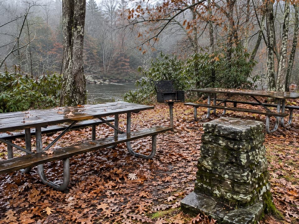 Linville Falls Picnic AreaA shaded lunch stop beside the Linville River.
 Crabtree Falls Picnic AreaA spread-out lunch stop with a few mountain views.

The highest, rockiest slopes around here are a summer buffet for grizzly bears.
Blue Ridge Parkway Tour Guide
Blue Ridge Parkway, narrated.
Parkwolf is a GPS audio tour guide for Blue Ridge Parkway. As you drive, it chimes in with what’s ahead: hidden gems, upcoming stops, history, geology, and wildlife, right through your car’s speakers.
See the Blue Ridge Parkway audio tourRecorded for this place
Mabry Mill and the Mountain Trades0:00 / 0:32
“You're coming up on Mabry Mill, where the waterwheel and pond are only the start of the visit. Give it about half an hour and follow the short paved paths among the mill, sawmill, and blacksmith shop.”
Plays as you drive up to Mabry Mill in the Parkwolf Blue Ridge Parkway Tour Guide.
More stories near here in the app
- Follow the Chickadee Calls
- How Millstones Cut Grain
- Round Meadow: The Creek Beneath the Parkway
- The Village in the Gorge
- 298 audio storiesacross Blue Ridge Parkway’s roads, triggered by GPS as you drive
- Wildlife heatmapsfor Black Bear, Elk, White-tailed Deer, and 13 more
- Works offlinemaps, 145 trails, 251 places, and audio download before you lose signal
- CarPlay readysimple controls built for the drive
“…We knew we wanted to drive the Blue Ridge Parkway. The narration was impeccably timed. The facts and info provided were meaningful. Without it, the trip would not have been near as awesome.”

