
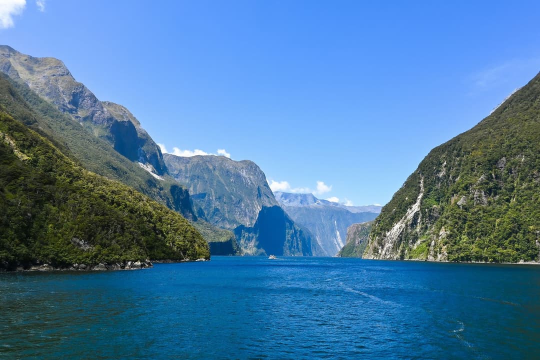
All Fiordland trails
77 trails
 1Milford TrackFour days from Lake Te Anau to Milford Sound over McKinnon Pass.
 2Routeburn TrackWaterfalls, alpine lakes and a dramatic pass on a three-day crossing.
 3Kepler TrackFour days from lakeside beech forest to an open alpine ridge.
 4Routeburn Track: Key Summit TrackForest climb to alpine tarns and views over Hollyford Valley.
 5Lake Marian TrackWaterfalls first, then a high lake in a glacial hanging valley.
 6Hump Ridge TrackA three day coastal loop climbs to open subalpine ridges.
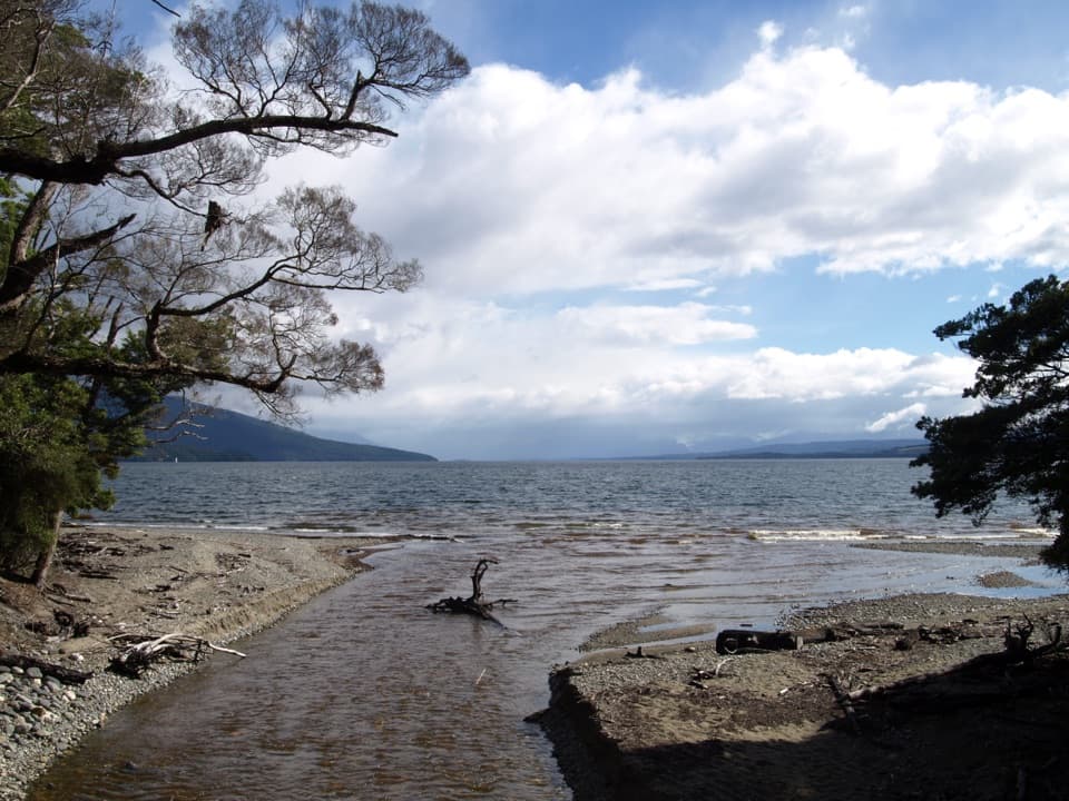 7Kepler Track: Carpark to Luxmore HutA lakeshore approach turns into a steep climb to alpine views.
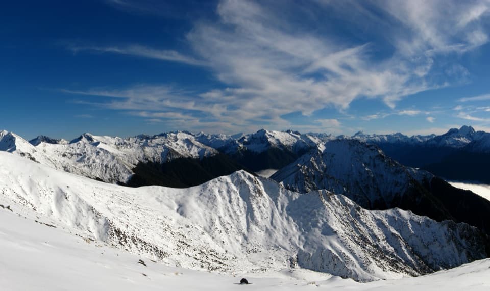 8Mount Luxmore Summit via Kepler TrackLakeside forest, limestone bluffs, and a high alpine summit.
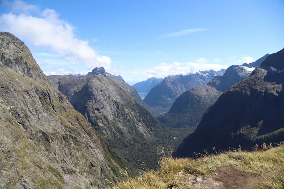 9Gertrude Saddle RouteCabled granite slabs lead to an open saddle view over Milford Sound.
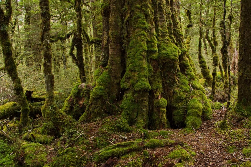 10Lake Gunn Nature WalkMossy beech forest, birds and a short beach detour
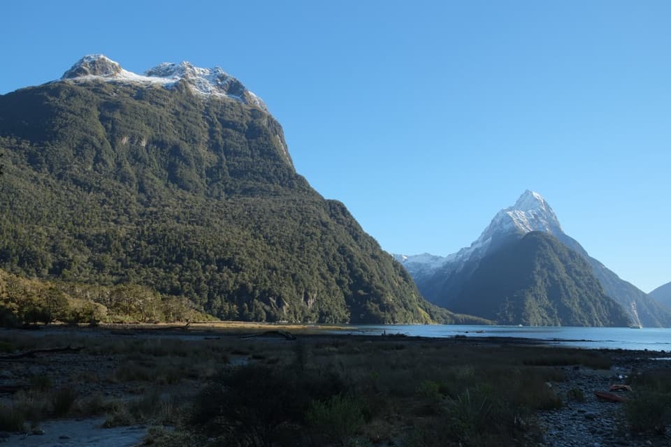 11Milford Foreshore WalkA short forest-and-foreshore loop beneath Mitre Peak
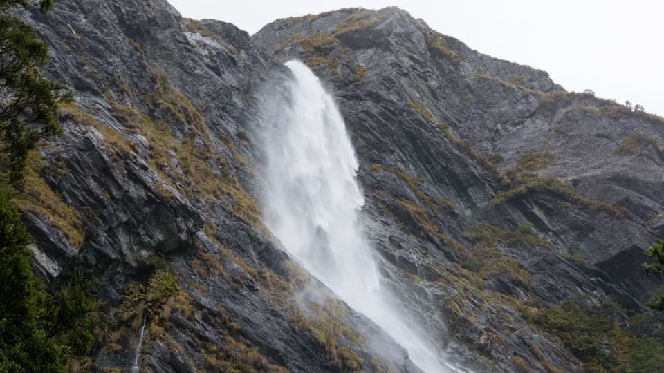 12Earland Falls TrackA 174 m waterfall rewards the long walk through beech forest.
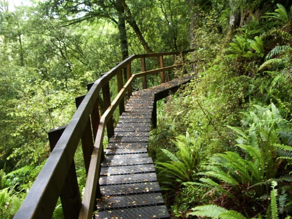 13Hollyford TrackA 35-mile tramp from deep valley forest to a remote coast.
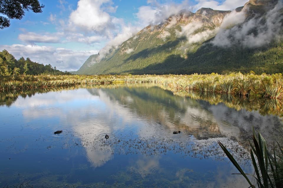 14Mirror Lakes WalkA quick boardwalk stop for Earl Mountains reflected in wetland lakes.
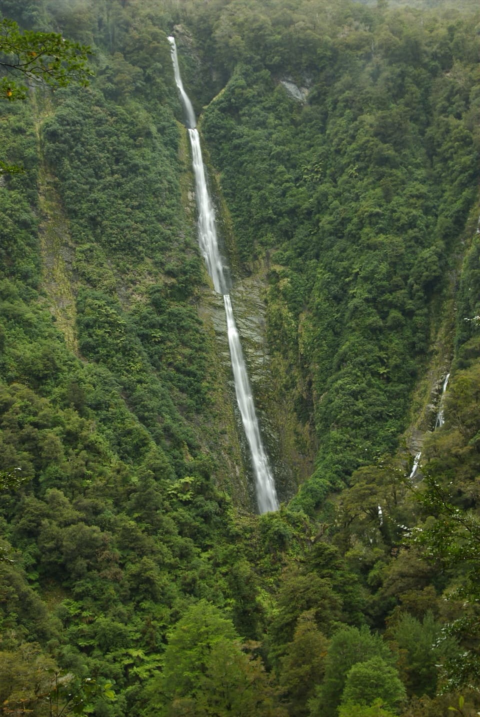 15Humboldt Falls TrackA short rainforest climb to a distant waterfall view.
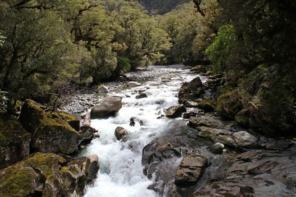 16The Chasm WalkA short forest walk to the Cleddau's water-carved gorge.
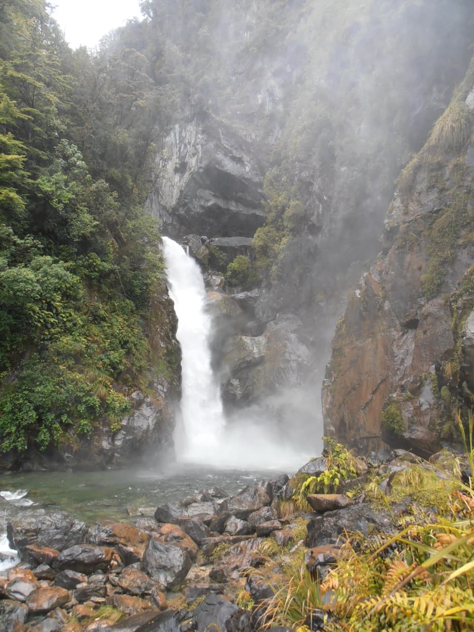 17Hollyford Track: Hidden Falls TrackA long valley walk to Hidden Falls, with a rough final spur.
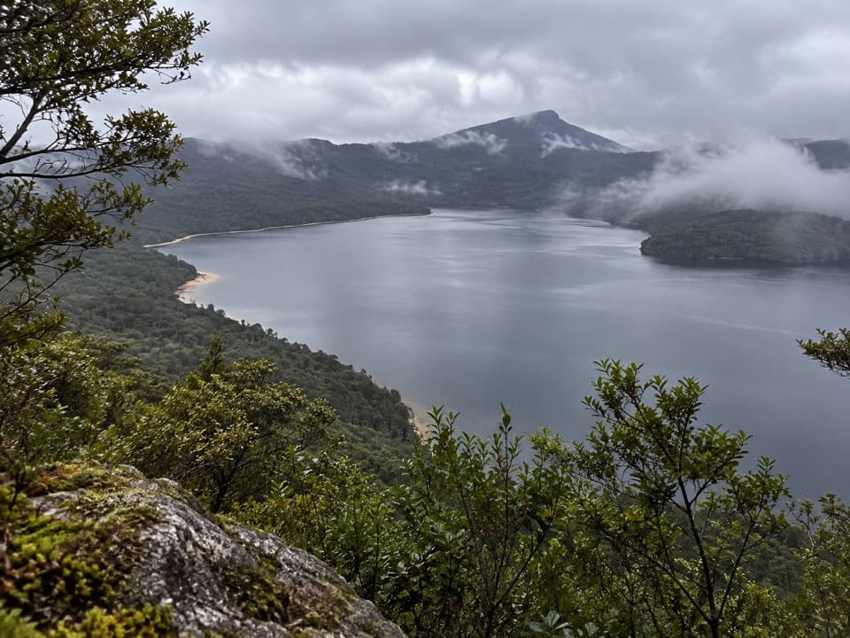 18Lake Hauroko Lookout TrackA steep ridge climb to sweeping views over Aotearoa's deepest lake.
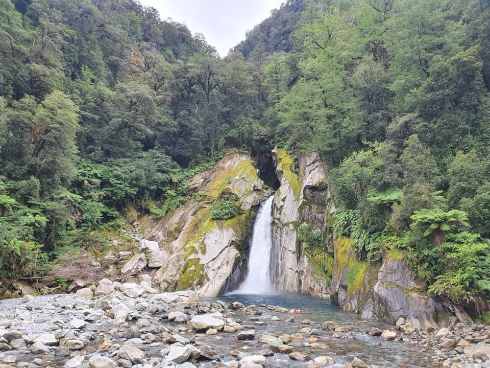 19Milford Track: Giant Gate Falls Day WalkA shaded forest walk to a 30-metre waterfall and swing bridge
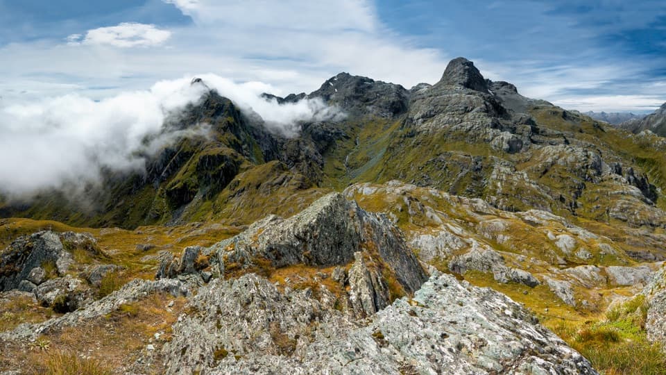 20Conical Hill TrackA steep summit detour looks down the Hollyford to the Tasman Sea.
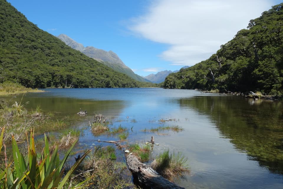 21Routeburn Track: Lake Howden TrackSilver beech forest leads to Lake Howden below the Key Summit turn-off.
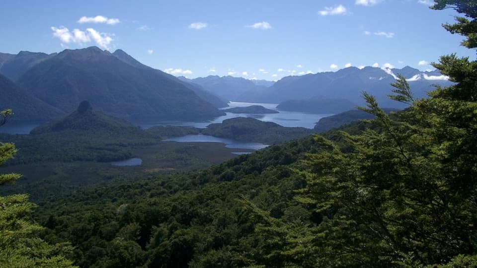 22Pearl Harbour Return via Circle TrackA steep lake-view circuit that starts with a boat crossing.
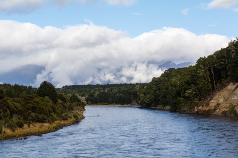 23Kepler Track: Rainbow Reach to Moturau HutA bog boardwalk breaks up the forest walk to Lake Manapouri.
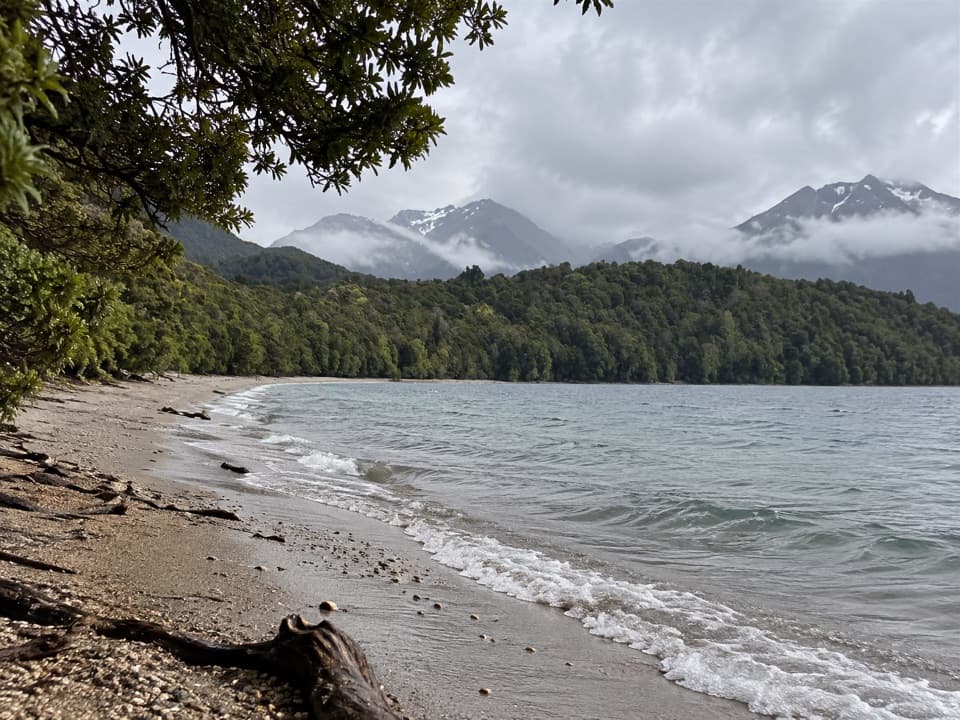 24Kepler Track: Carpark to Dock Bay and Brod BayFern groves, two swimming bays, and a sandy lakefront campsite.
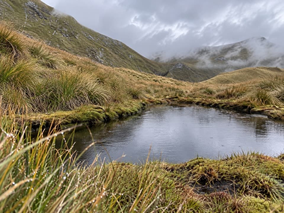 25Mount Burns Tarns TrackA short, steep climb to alpine tarns and wide Fiordland views.
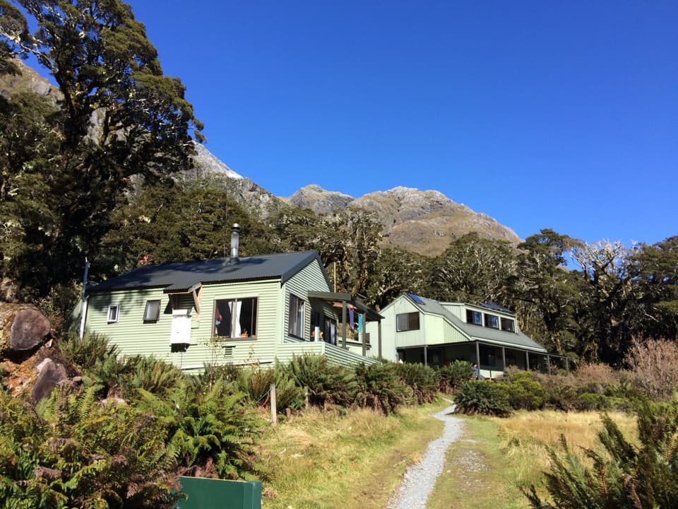 26Routeburn Track: The Divide to Lake Mackenzie HutA 24 km return to Lake Mackenzie, with Earland Falls midway.
 27Dusky TrackAlpine lakes, exposed tops and rough Fiordland miles between two boats.
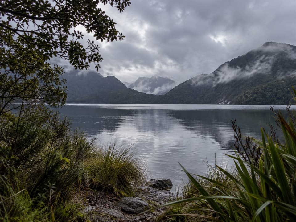 28Green Lake TrackTwo remote approaches meet at a hut beside Green Lake.
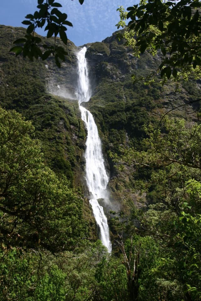 29Sutherland Falls TrackA short detour to a 580-metre waterfall in three leaps.
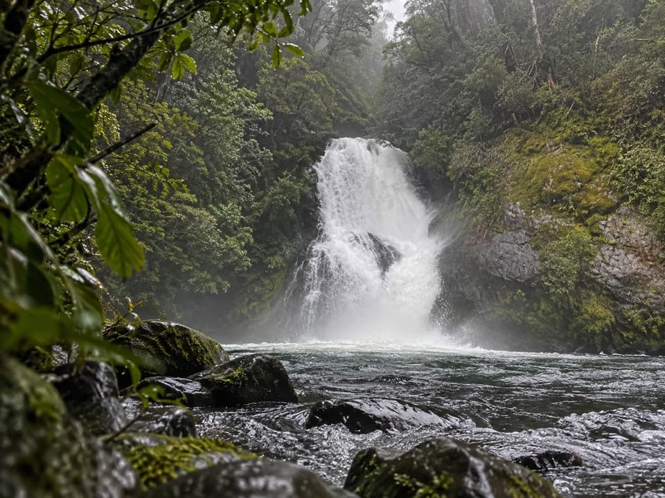 30Iris Burn Waterfall TrackA short hut-side waterfall walk with a swimming hole for the brave.
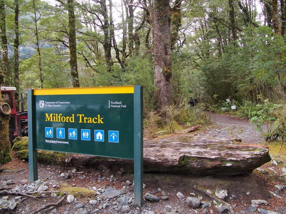 31Milford Track: Glade Wharf to Clinton HutA gentle riverside beech walk to Milford Track’s first hut.32Kepler Track: Rainbow Reach to Shallow Bay HutA side branch to a six-bunk hut on Lake Manapouri.33Kepler Track: Control Gates to Rainbow ReachFollow the Waiau through beech forest to a swingbridge finish.
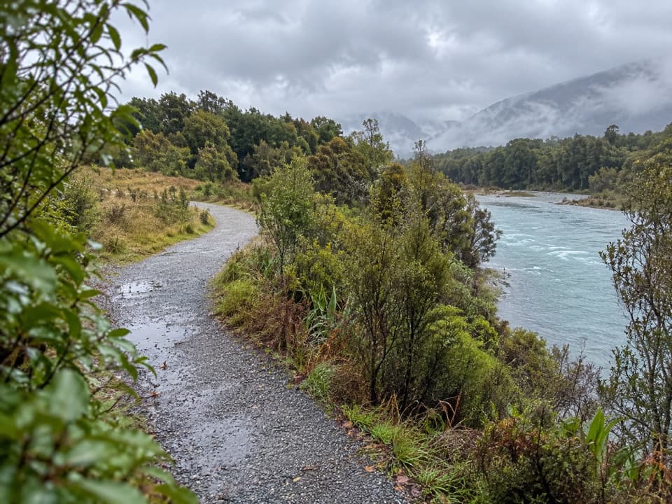 34Lake2Lake TrailFollow the Waiau from Te Anau’s lakefront to Manapouri.
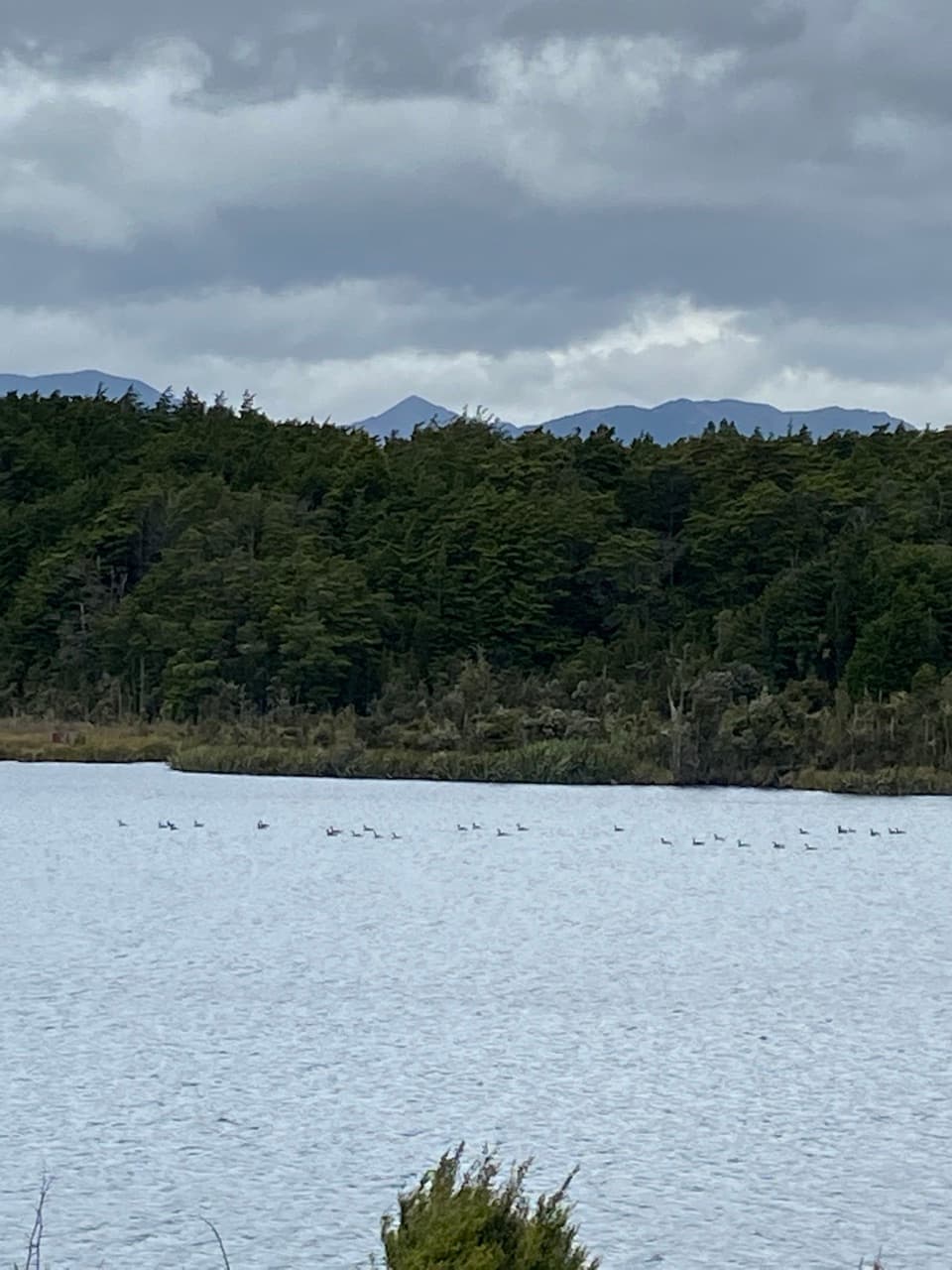 35Lake Mistletoe TrackA short forest walk reaches a lake alive with scaup and frogs
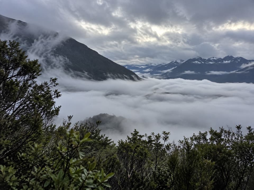 36Monument TrackA steep, exposed chain climb to a wide Lake Manapouri panorama.
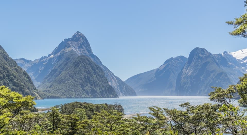 37Milford Sound Lookout TrackA 400 m return walk to a view over Milford Sound.
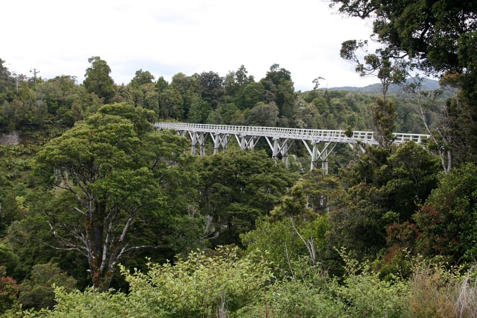 38South Coast TrackFour days of coast, forest, and timber viaducts
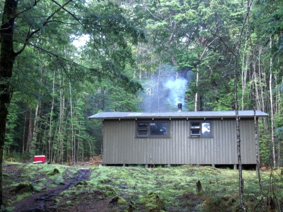 39Pearl Harbour to Hope Arm TrackBoat-access forest tramp to Hope Arm beach and hut
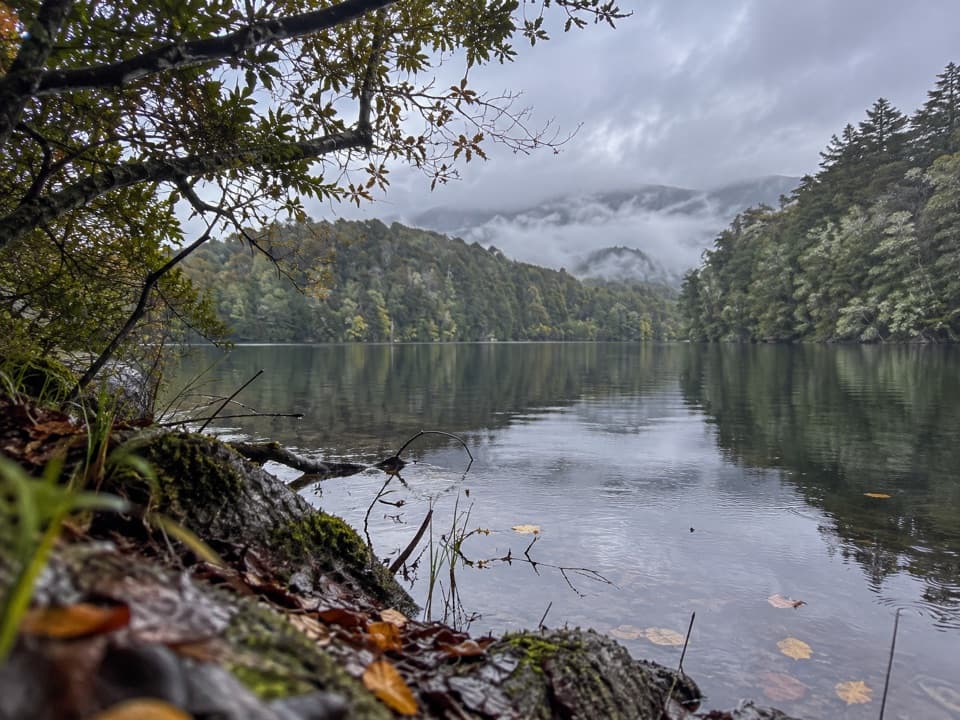 40Hidden Lakes TrackA boat-only forest walk to scattered kettle lakes in South Fiord.
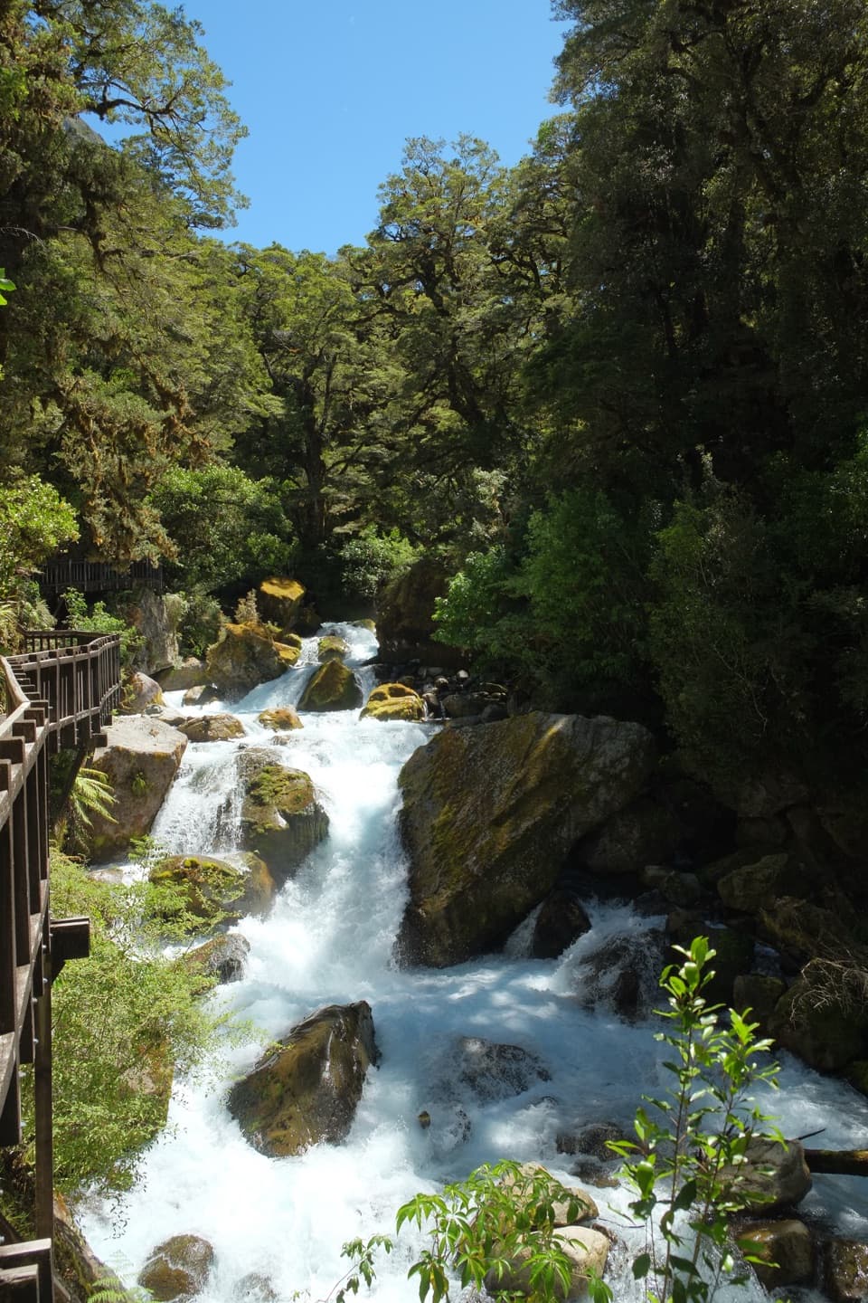 41Lake Marian Falls TrackA short bridge walk to a gantry beside Marian Falls
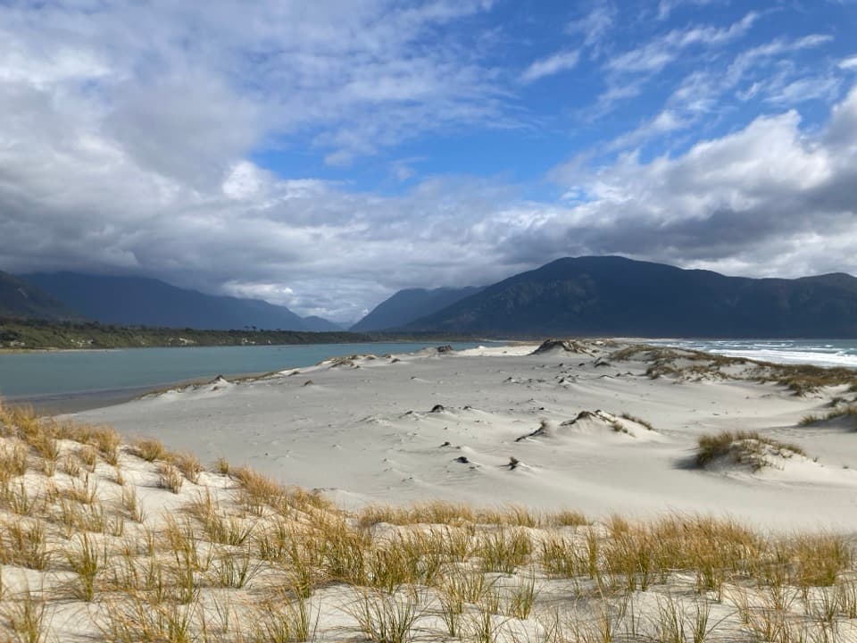 42Pyke–Big Bay RouteA demanding traverse from river valleys to Fiordland's wild coast.
 43George Sound Route13.7 miles of remote boat-assisted trail from Middle Fiord to George Sound.
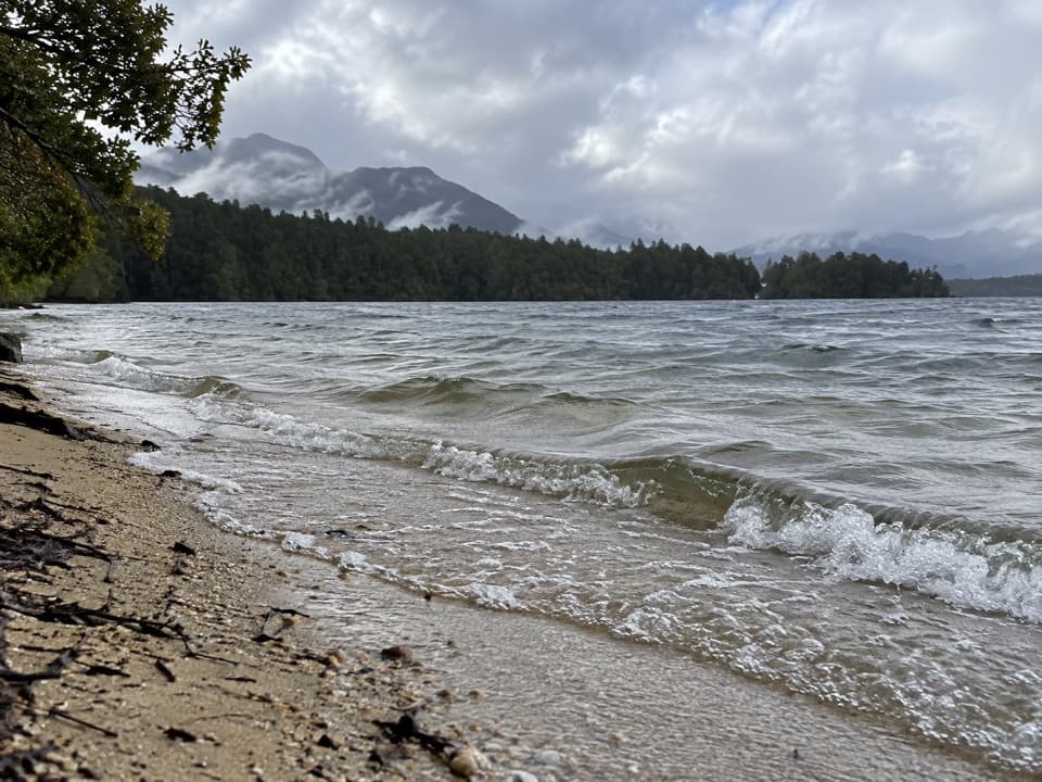 44Lake Rakatu TrackA long, muddy tramp to a forested backcountry lake.
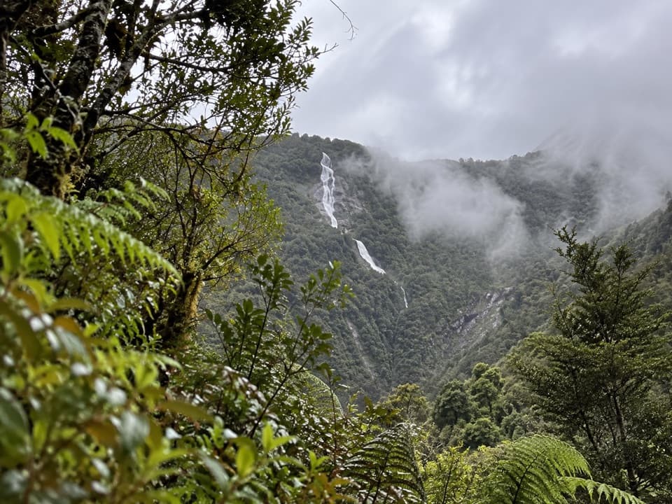 45Hanging Valley TrackClimb through rain-soaked forest to a high valley and its falls.
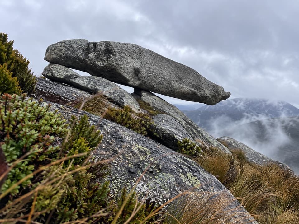 46Eldrig Peak RouteA steep climb through beech to snow-poled tops and rock formations.
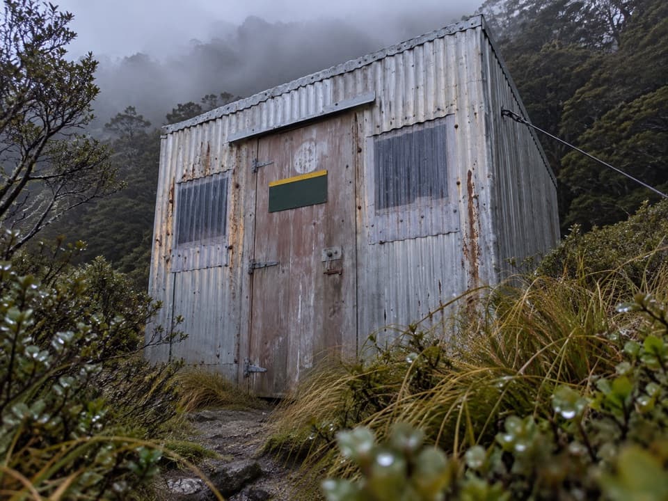 47North Borland TrackA serious valley tramp to a tiny hut beneath Mount Titiroa.
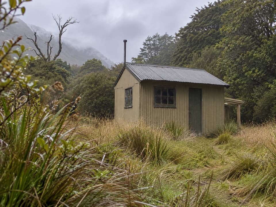 48Pearl Harbour to Back Valley Hut TrackCross the Waiau for a forest hut walk.
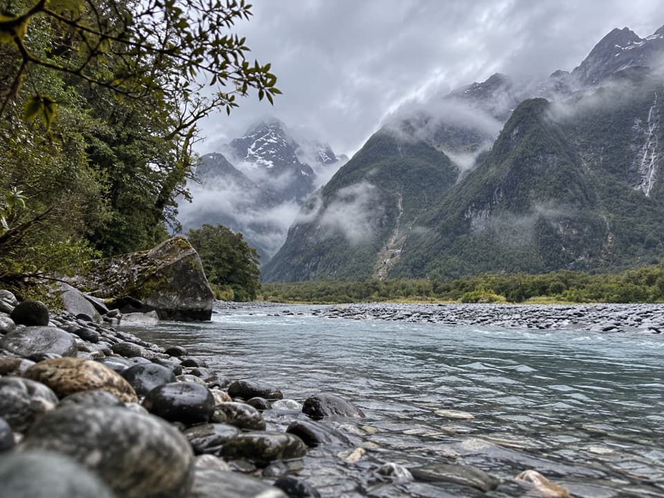 49Tūtoko Valley RouteA rough forest approach ends at a river below the peaks.
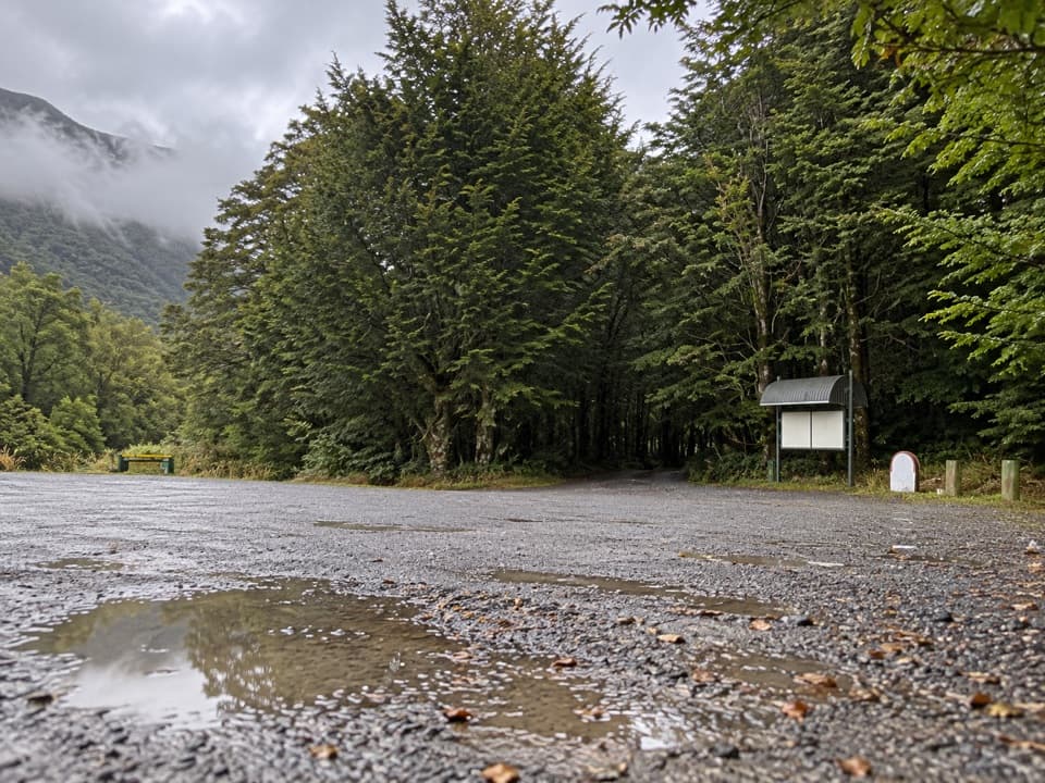 50Rodger Inlet TrackA demanding out-and-back to a small hut on Lake Monowai.
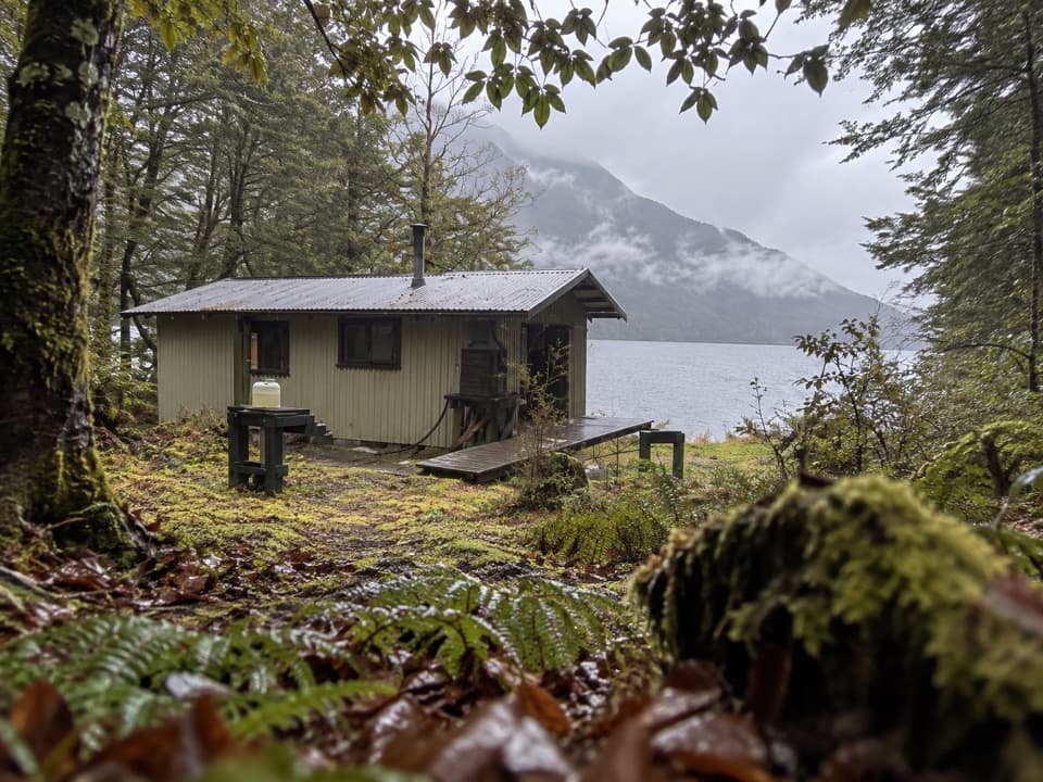 51Borland Road to Monowai Hut TrackCross tussock saddles and beech forest to a hut on Lake Monowai.
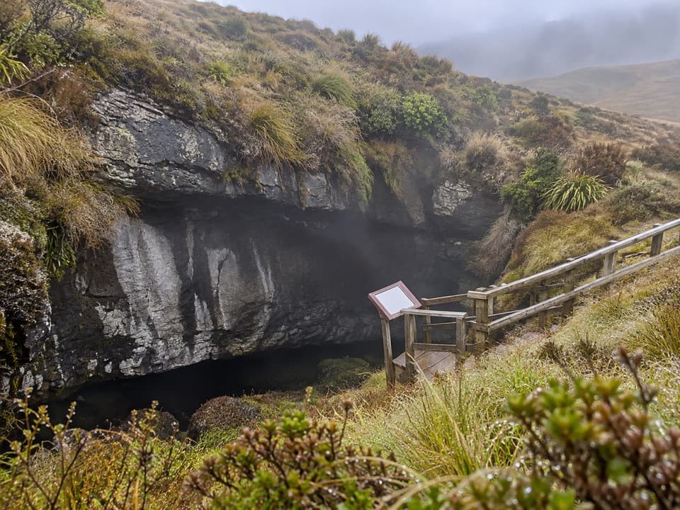 52Luxmore Cave TrackA short, signposted spur to a limestone cave entrance.
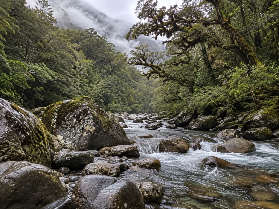 53Grave–Talbot TrackA rough river valley walk that opens into Esperance grassland.
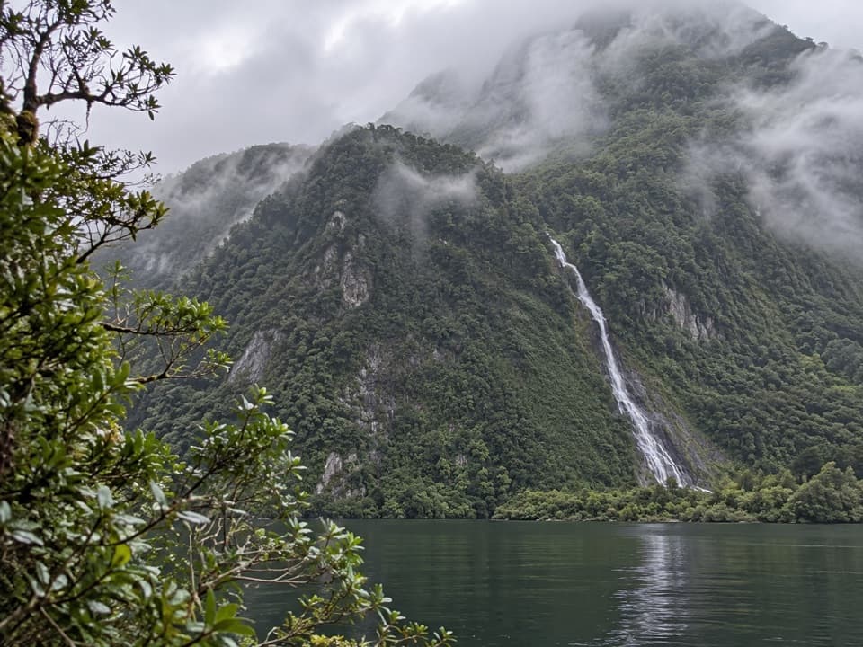 54Brasell Point Nature WalkA short forest loop to Helena Falls and Deep Cove views.
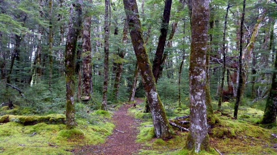 55Borland Nature WalkMossy forest, summer mistletoe, and a river crossing without a bridge.
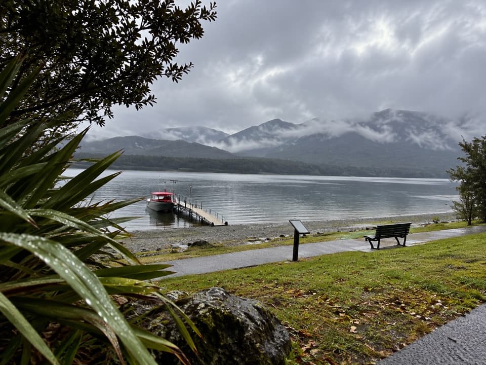 56Visitor Centre to Upukerora River TrackFlat Te Anau lakeshore walk to the Upukerora River mouth.
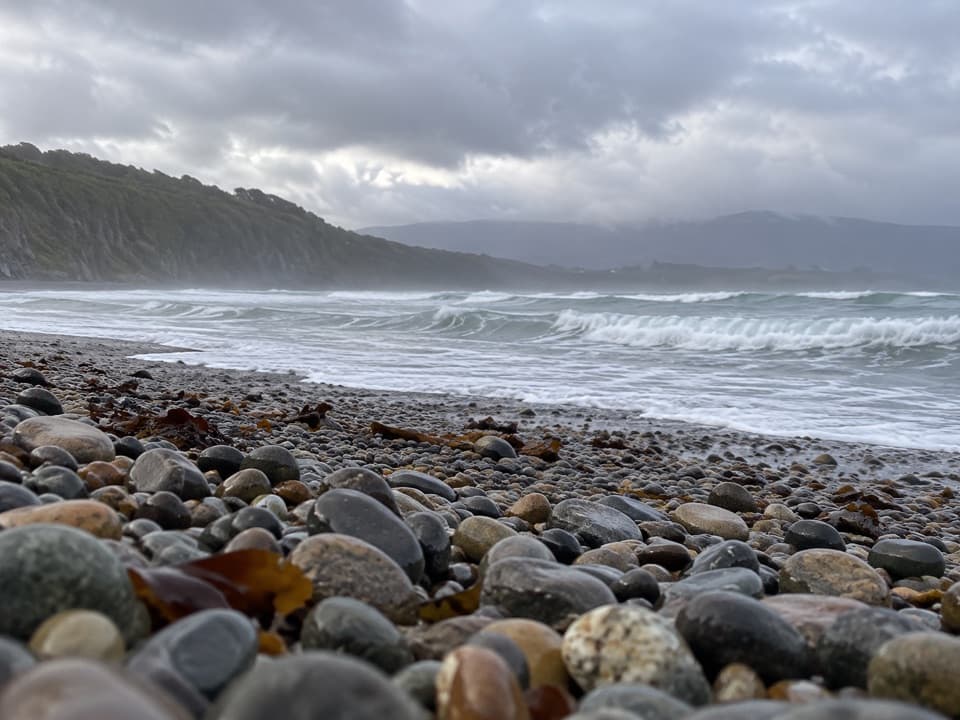 57Rarakau Car Park to BeachRainforest steps, a swing bridge, then a Te Waewae Bay beach.
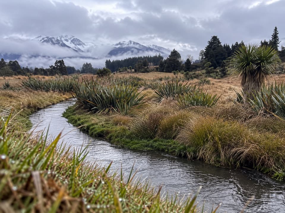 58Home Creek WalkA short loop beside a naturally meandering stream near Manapouri.
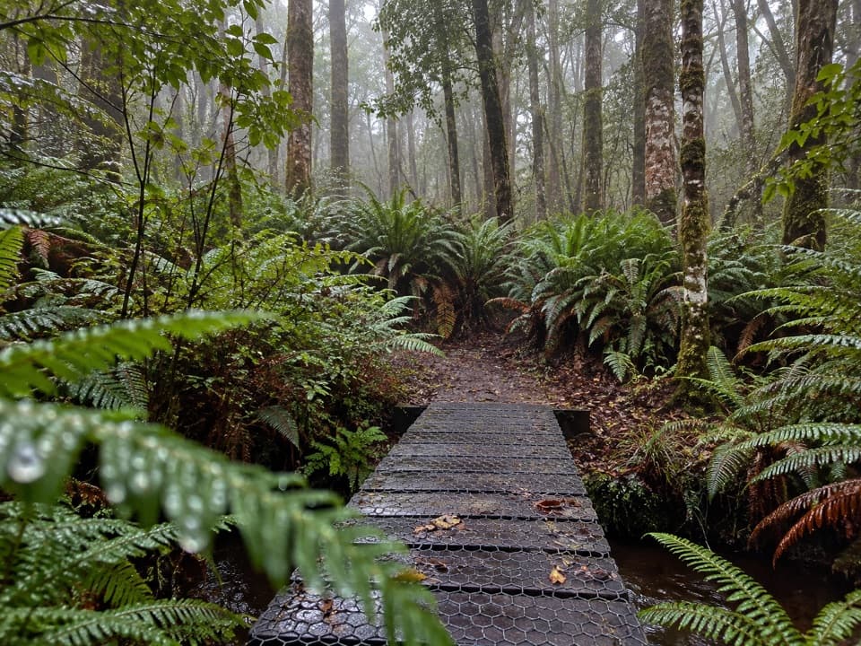 59Lake Hauroko TrackA short native forest loop beside Lake Hauroko
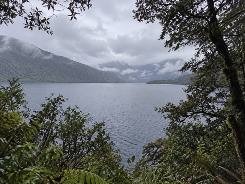 60Lake Monowai Peninsula Lookout TrackBeech forest opens to a quiet lake view at the peninsula lookout
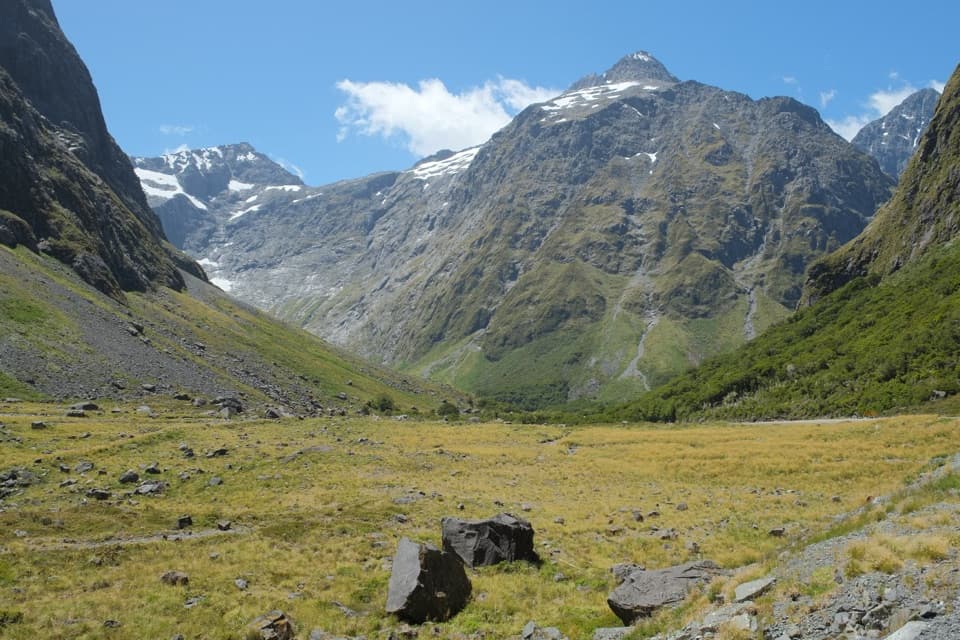 61East Homer Nature WalkAlpine flowers, rock wrens, and kea beside the Homer Tunnel.
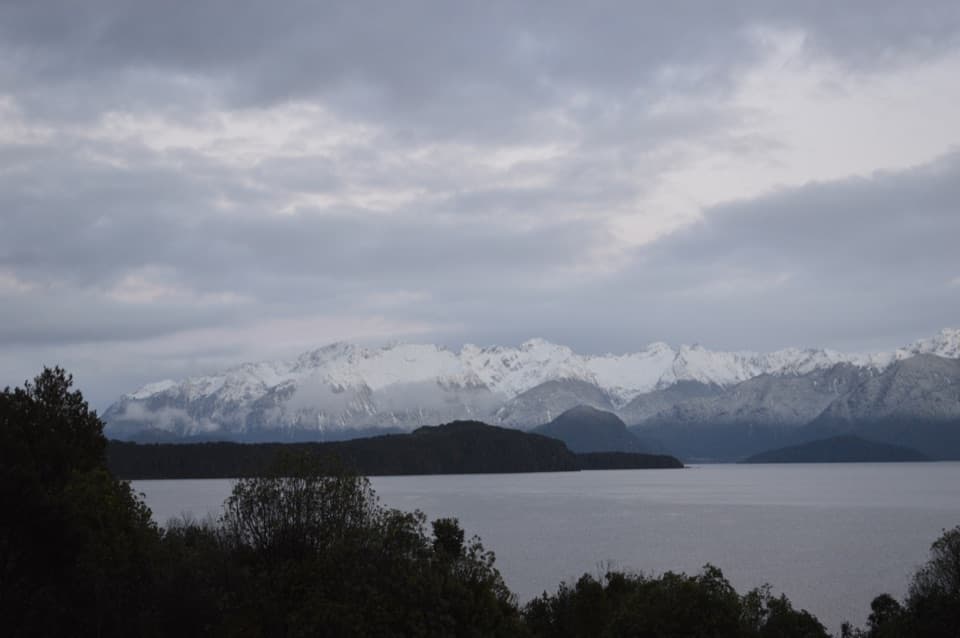 62Frasers Beach TrackA short lakeshore walk links Manapouri with Frasers Beach.
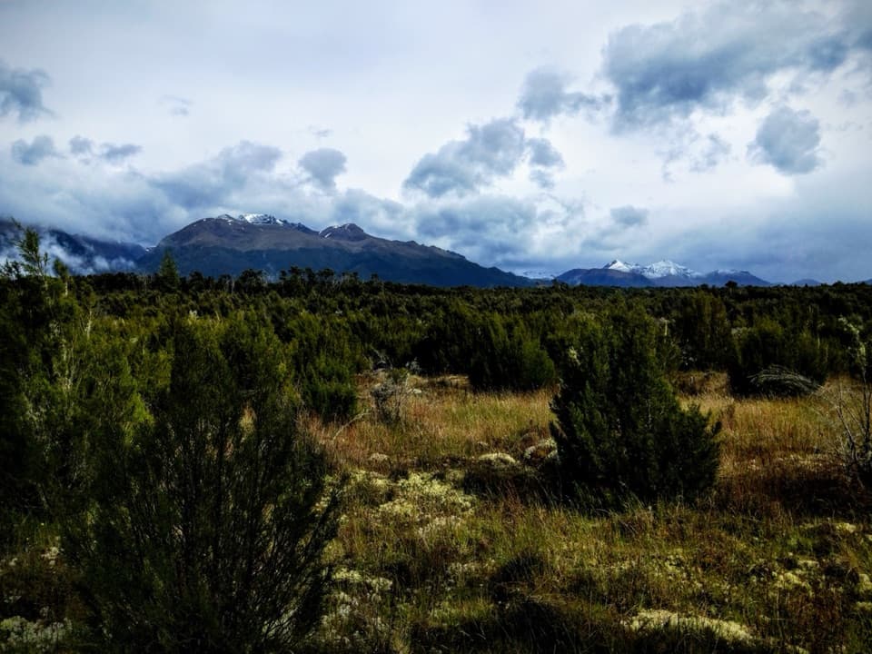 63Burnt Ridge TrackAn easy forest-and-scrub crossing between Borland Lodge and Lake Monowai.
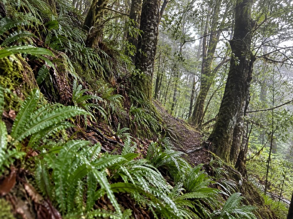 64South Borland TrackA 6 km one-way descent through limestone and beech forest.
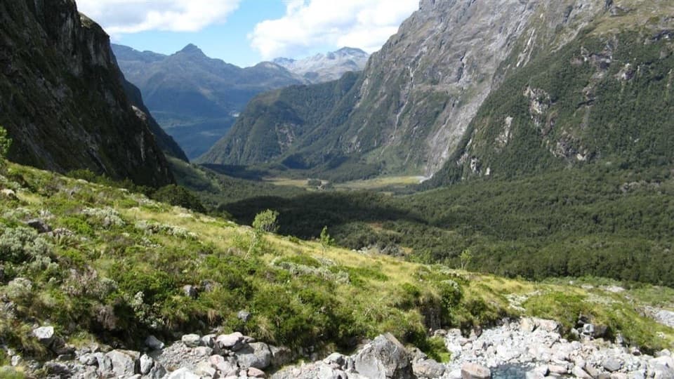 65Moraine Creek Route to Tent FlatA steep climb through bush to boggy Tent Flat.
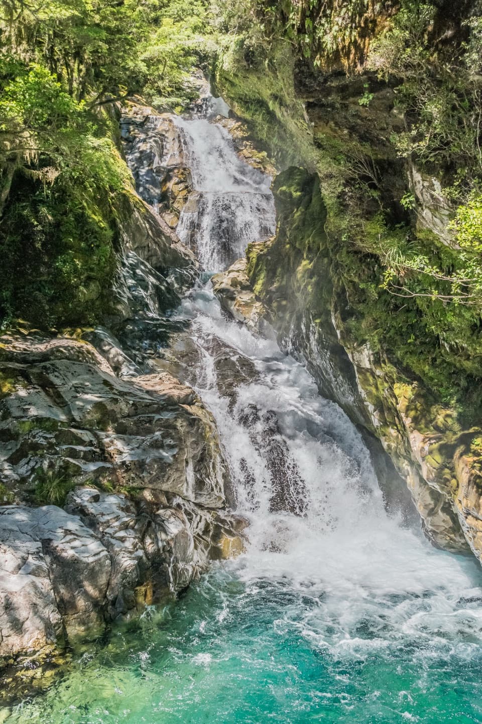 66Falls Creek Route to the Valley FlatsA steep climb to remote flats beneath Fiordland peaks.
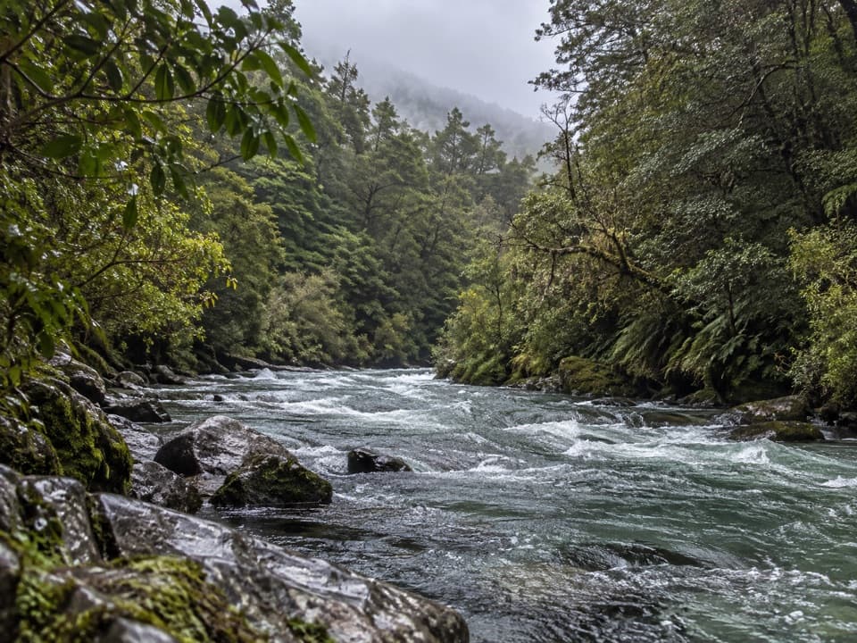 67Hut Creek TrackBeech forest gives way to open flats in Hut Creek’s upper valley
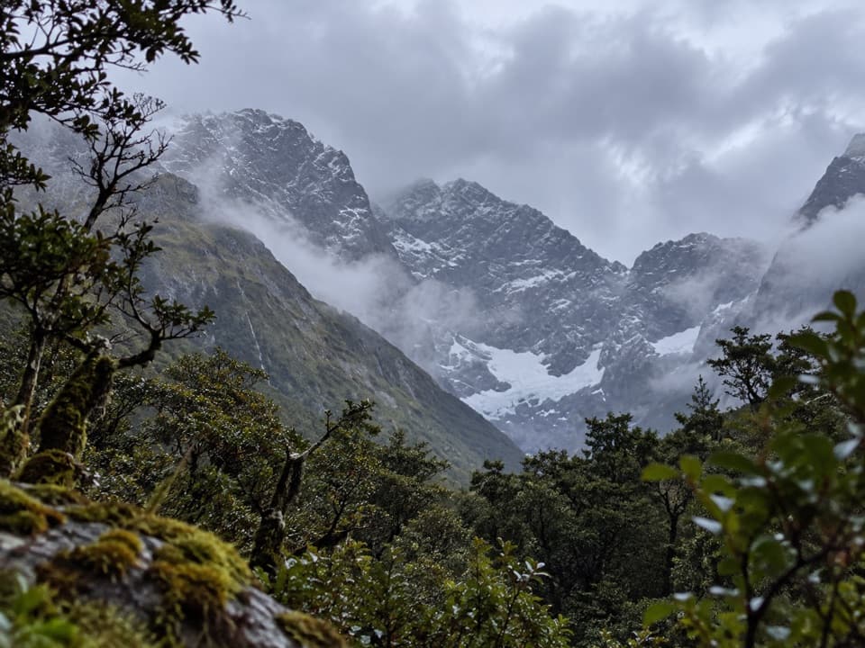 68Mistake Creek TrackA hard tramp into Mistake Creek's open valley flats.69Pass Creek TrackAn old cattle track climbs from Hollyford to Lake Howden.
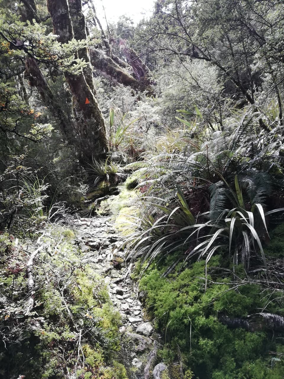 70Deadmans TrackA steep, rough climb from Hollyford Road to the Routeburn.
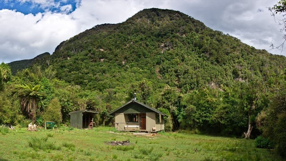 71Lake Hauroko to Teal Bay Hut TrackA remote 36 km out-and-back to a small hut on Lake Hauroko.
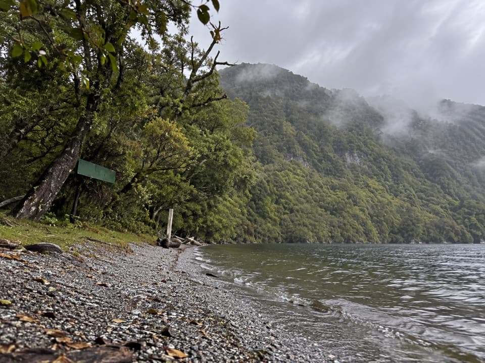 72Teal Bay to South Coast TrackA remote ridge crossing from lake shore to the South Coast Track
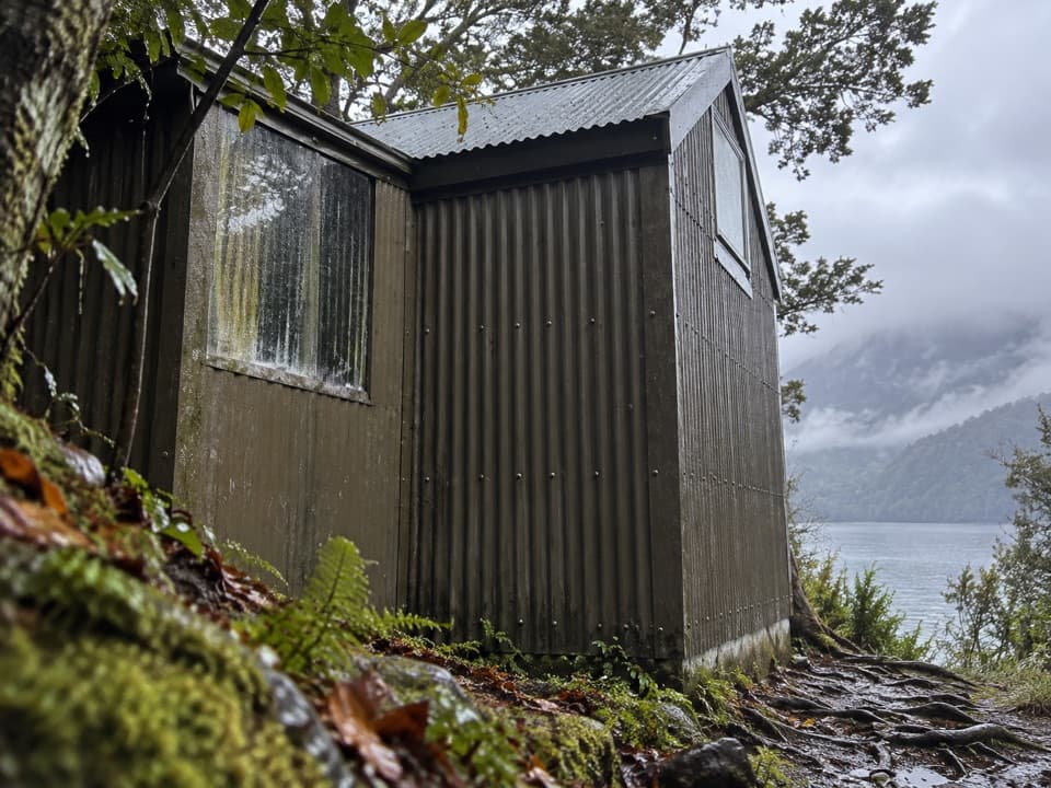 73Teal Bay to Lake Poteriteri Hut RouteRemote hut to hut route with two swingbridges and unbridged streams.
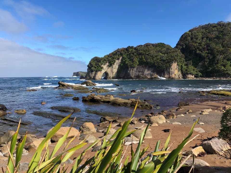 74Puysegur Point Lighthouse WalkA rough coastal road to a remote lighthouse, and back.
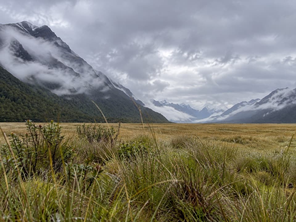 75Mackay Creek WalkA quick valley stroll to a small ledge above Mackay Creek.
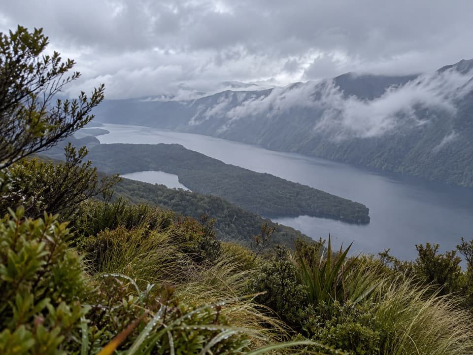 76Rodger Inlet Bushline RouteA hard climb from the hut to wide Lake Monowai views.
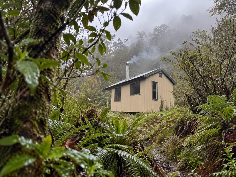 77Slaughterburn Hut Route from Waitutu HutA remote trapline follows the Waitutu River to a six-bunk hut.

The highest, rockiest slopes around here are a summer buffet for grizzly bears.
Fiordland Tour Guide
Fiordland, narrated.
Parkwolf is a GPS audio tour guide for Fiordland National Park. As you drive, it chimes in with what’s ahead: hidden gems, upcoming stops, history, geology, and wildlife, right through your car’s speakers.
See the Fiordland audio tourRecorded for this place
Milford Waterfront and Foreshore0:00 / 0:35
“You're approaching the Milford waterfront, where a short walk brings you to the shore beneath Mitre Peak. Even without a cruise, I'd stop for the foreshore loop through beech forest and along the water.”
Plays as you drive up to Milford Foreshore Walk in the Parkwolf Fiordland Tour Guide.
More stories near here in the app
- Deepwater Basin Boating Access
- Pio Pio and Milford Sound Lodge
- Tūtoko Suspension Bridge
- Penguins Under the Trees
- 112 audio storiesacross Fiordland’s roads, triggered by GPS as you drive
- Wildlife heatmapsfor Kea, Fiordland Penguin, Blue Duck, and 13 more
- Works offlinemaps, 77 trails, 102 places, and audio download before you lose signal
- CarPlay readysimple controls built for the drive
“Fantastic app with many points of information… It’s great to just turn on while you’re driving and it gives you an audio tour of the national Park. We love it!!!!”

