
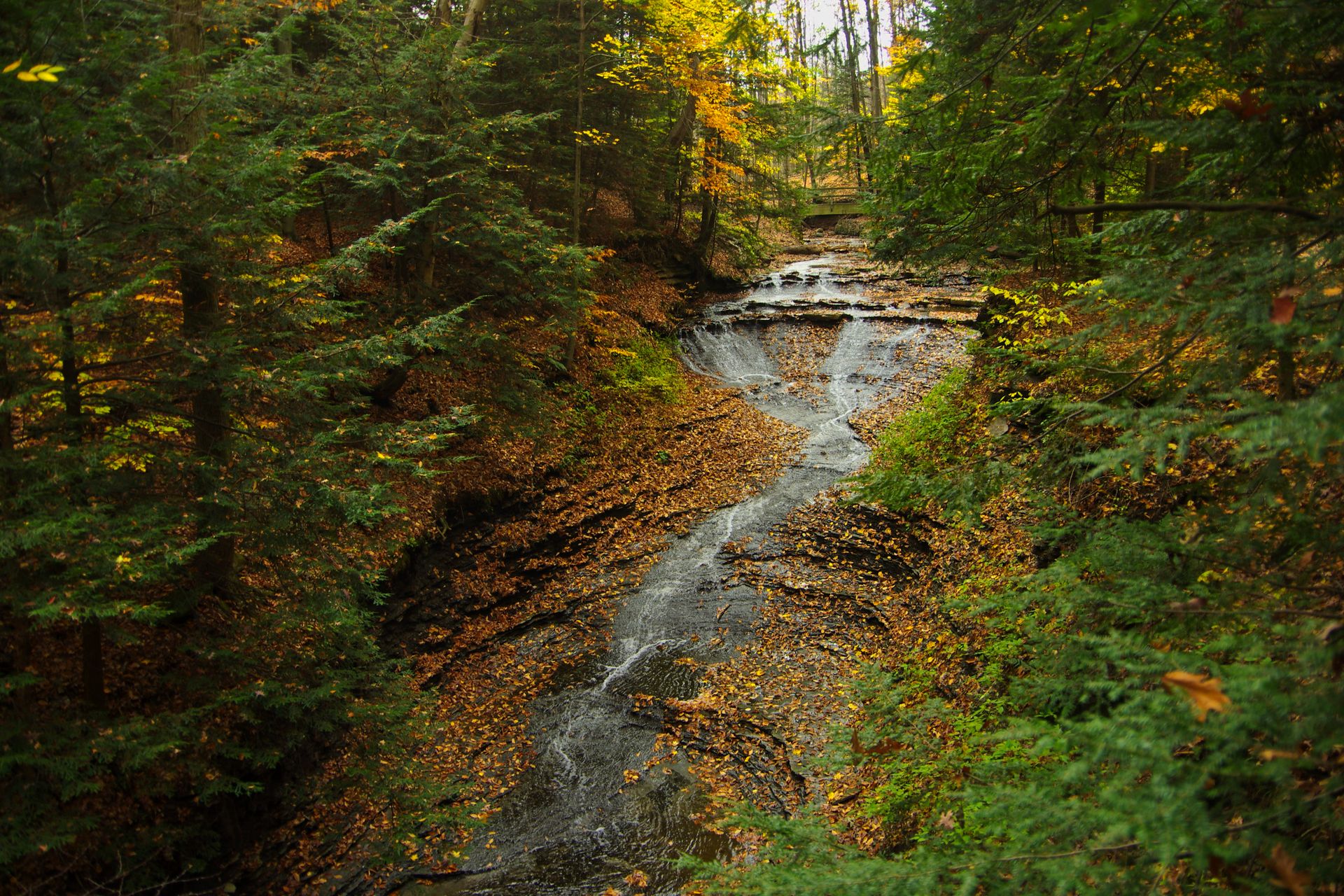
All Cuyahoga Valley trails
63 trails
 1Ledges TrailA rocky loop through sandstone walls and a remarkable staircase.
 2Brandywine Gorge LoopRocky gorge loop with a footbridge and Brandywine Falls views.
 3Blue Hen Falls TrailA steep Buckeye Trail climb ends at a 15-foot waterfall.
 4Beaver Marsh WalkA level Towpath stroll to Beaver Marsh's wildlife boardwalk.
 5Ohio & Erie Canal Towpath TrailA long, level canal walk through locks, marshes, and river bends.
 6Stanford TrailA wooden creek bridge and switchbacks lead to the falls.
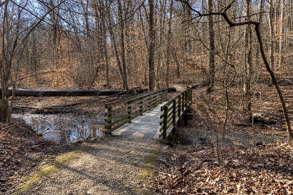 7Salt Run TrailA 3.3-mile woods loop with bridges, ravines and a long stair climb.
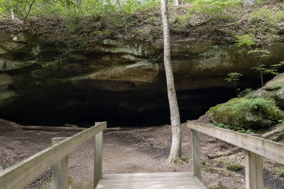 8Deer Lick LoopA rolling forest loop leads to a broad sandstone overhang.
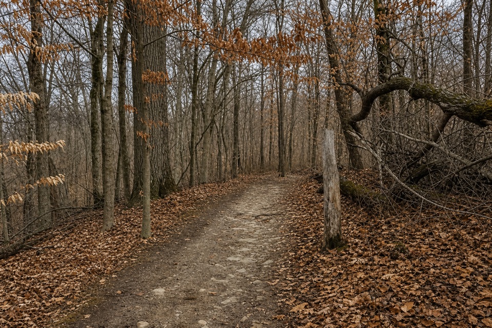 9Old Carriage TrailA rocky forest loop, with a canal-side start and an old earthwork.
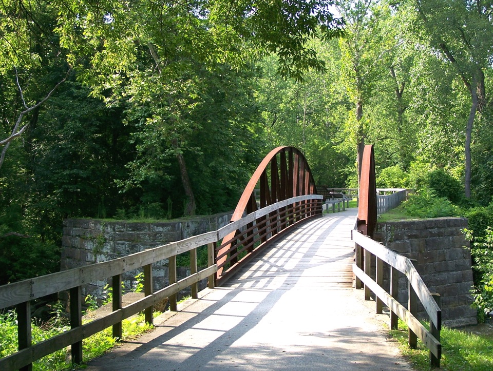 10Buckeye Trail LoopTake the hilly Buckeye leg out and flat Towpath back.
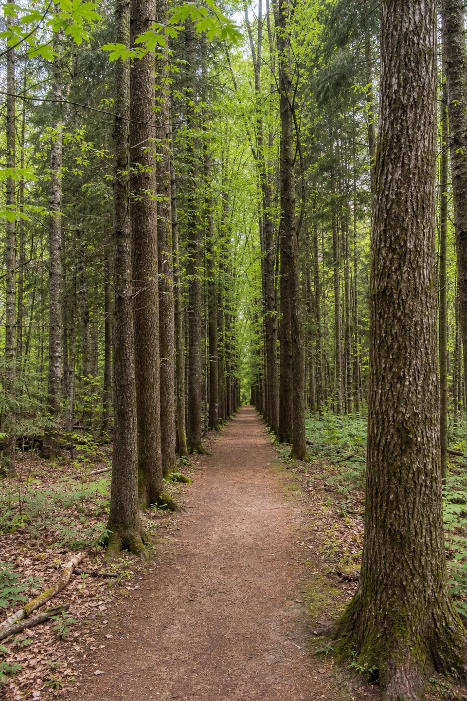 11Plateau TrailA long woodland loop past three ponds and a pine corridor
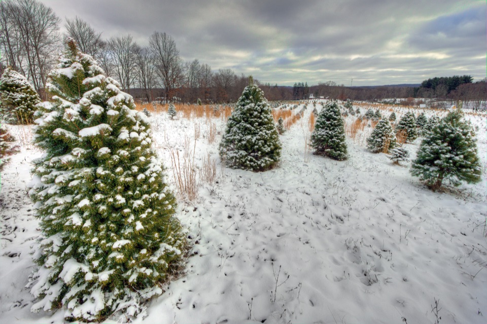 12Tree Farm TrailOld field rows and recovering woods make a quietly changing loop.
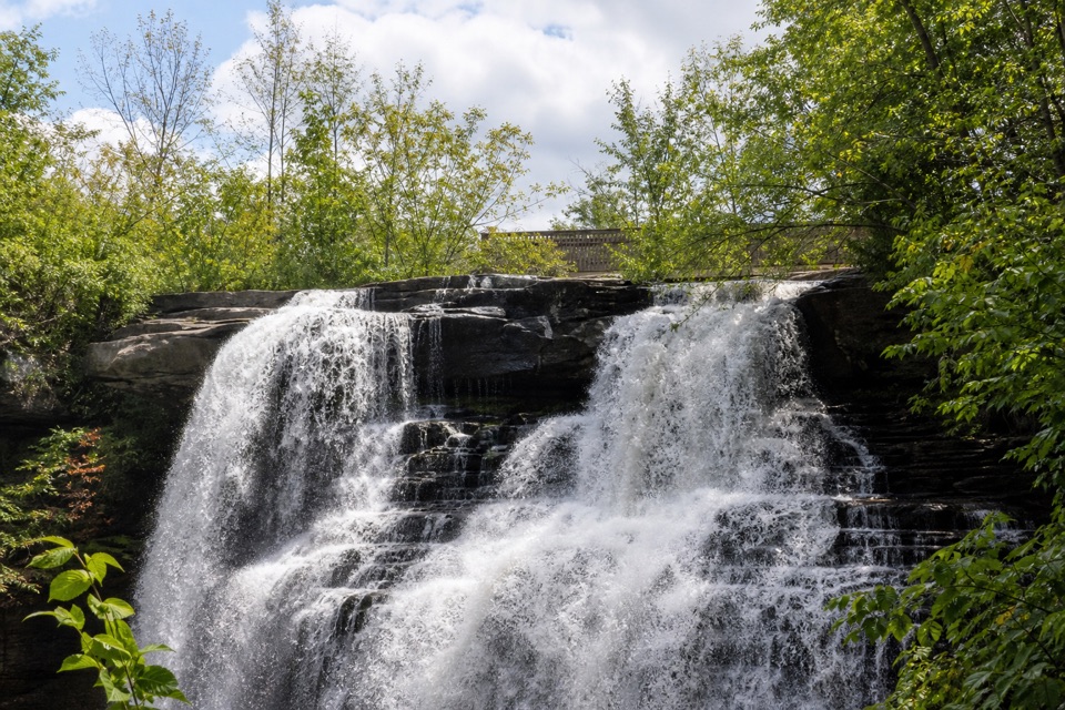 13Brandywine Falls Upper BoardwalkA quick, accessible boardwalk looks down on Brandywine Falls.
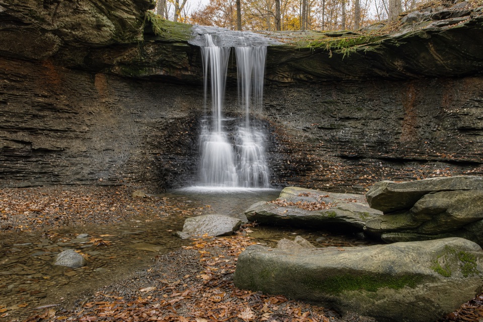 14Buttermilk Falls via Blue Hen FallsTwo waterfalls, steep ridges, and a rough creekside finish.
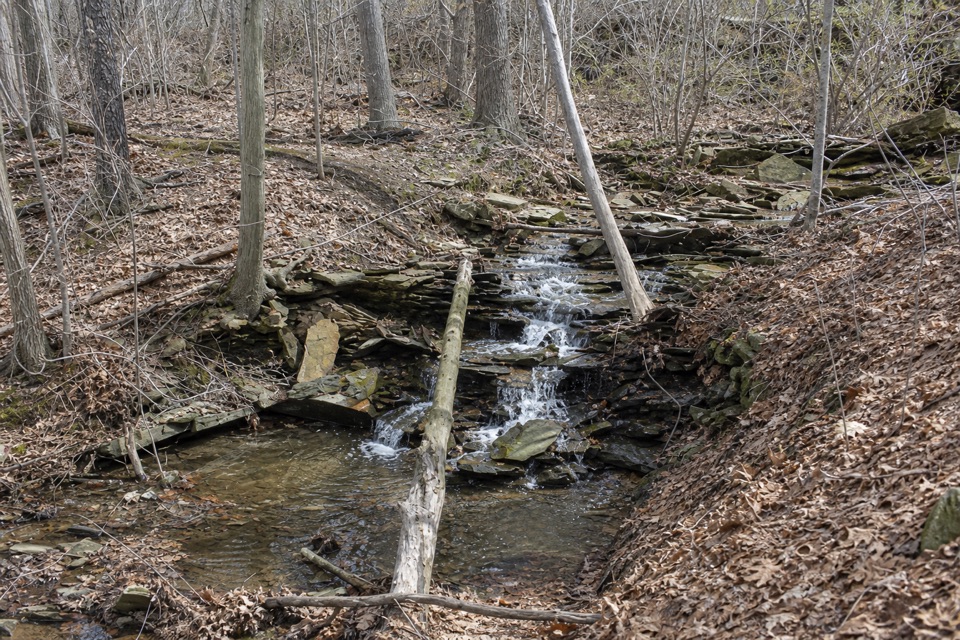 15Sagamore Creek LoopTwo seasonal falls reward a steep walk through the gorge.
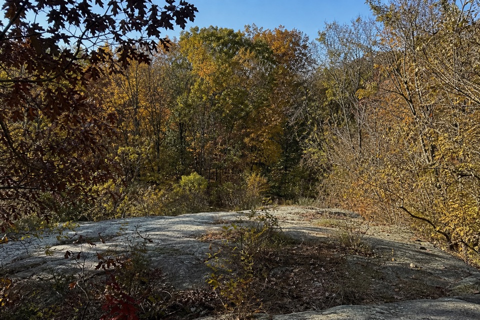 16Quarry TrailOld millstones and quarry steps reward this short wooded walk.
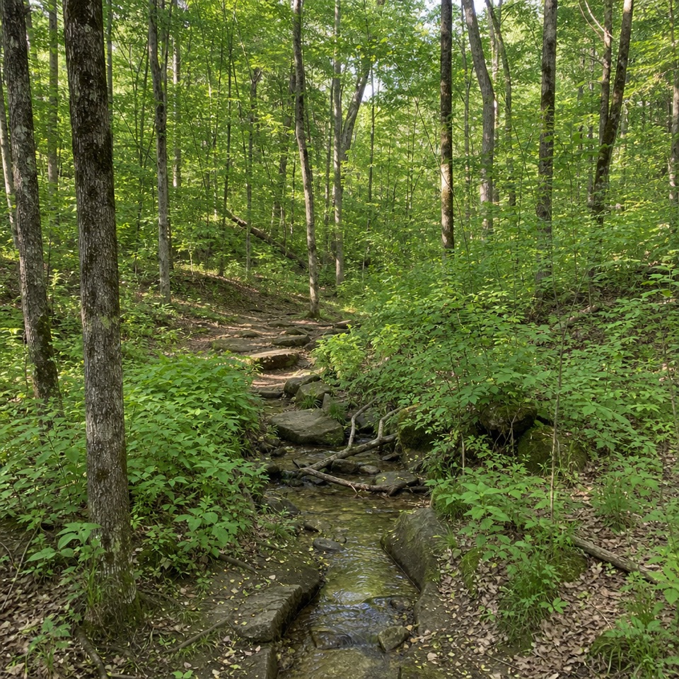 17Pine Grove TrailTwo shaded miles through planted pines, footbridges, and wooded ravines.
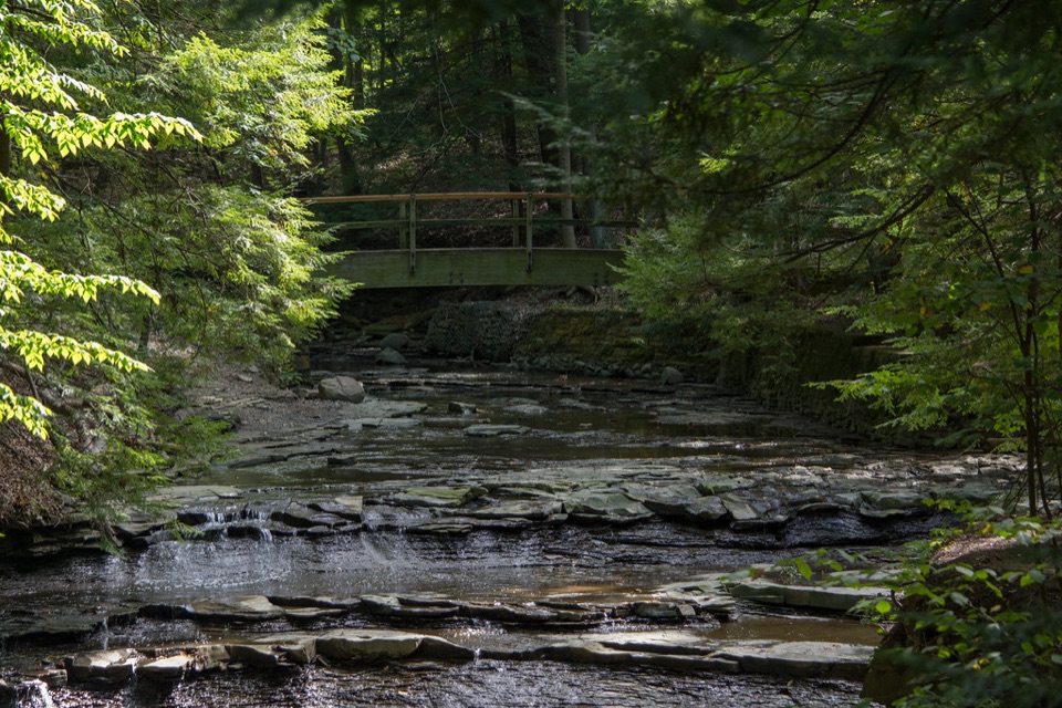 18Tinker's Creek Gorge TrailA wooded out-and-back that ends at falls and a gorge overlook.
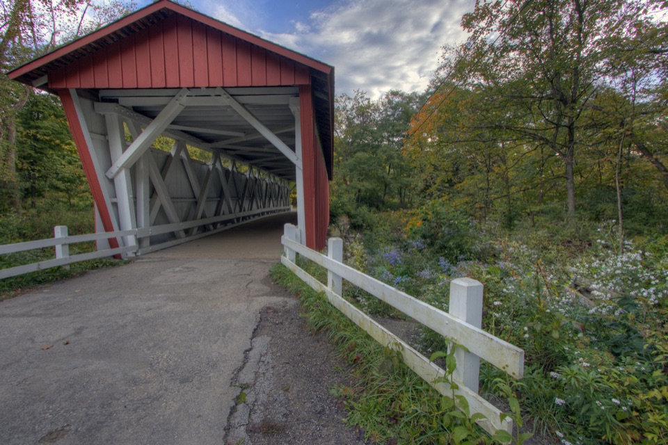 19Perkins TrailA covered bridge gives way to two rough creek crossings.
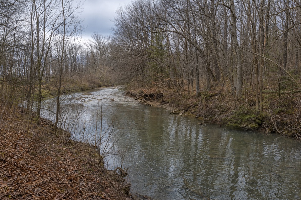 20Furnace Run TrailMore than 90 stairs lead into a quiet wooded loop
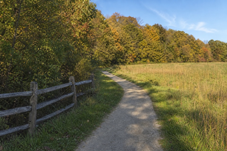 21Boston Run TrailA shaded stream loop over rocky ravines and ridges
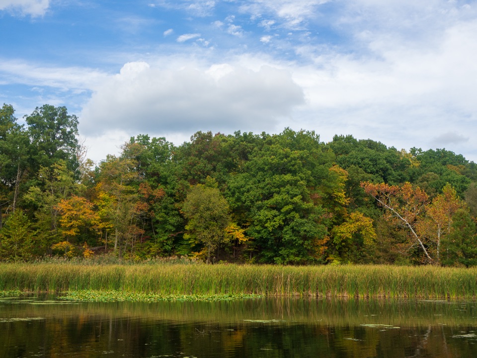 22Lake TrailA gentle loop threads a stone tunnel and marshy lake shore.
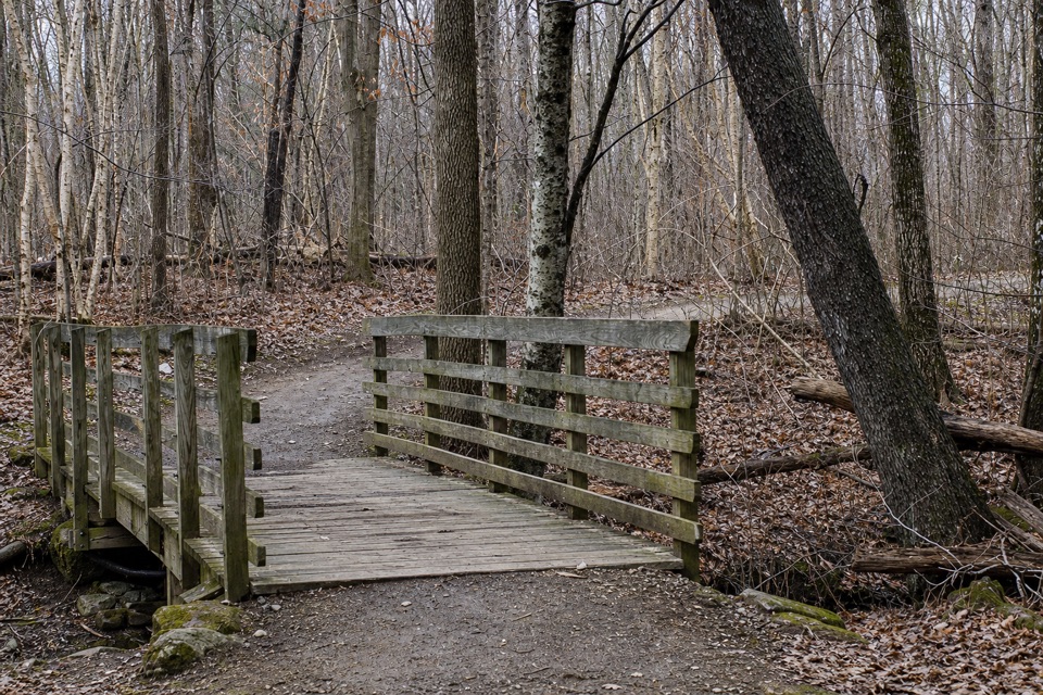 23Oak Hill TrailA gentle loop past Sylvan Pond and old farm traces.
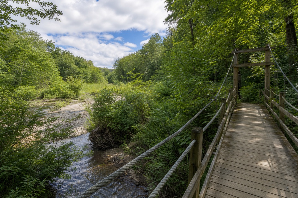 24Hemlock TrailA shady creek walk with two footbridges and spring pools.
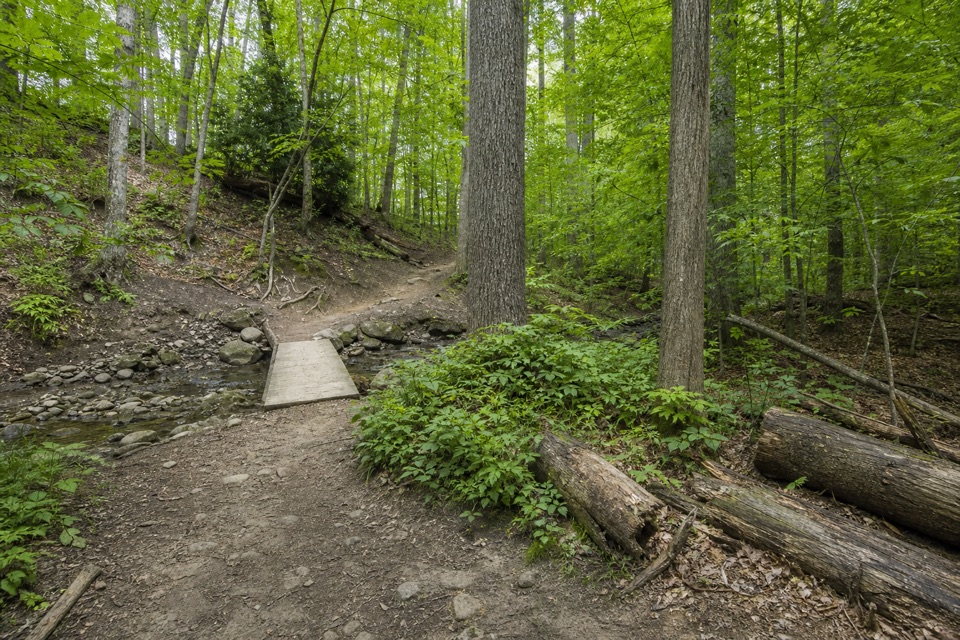 25Wildflower Loop TrailA short loop threading woods, spring flowers and Wallin Creek.
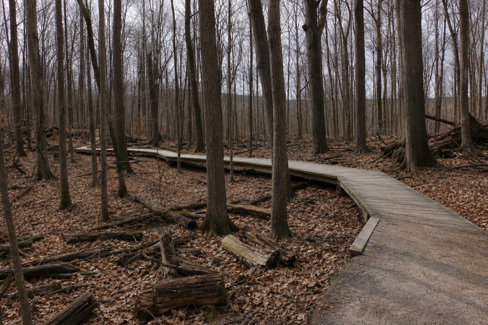 26White Oak Trail LoopA short loop drops from the ridge into forested ravines.
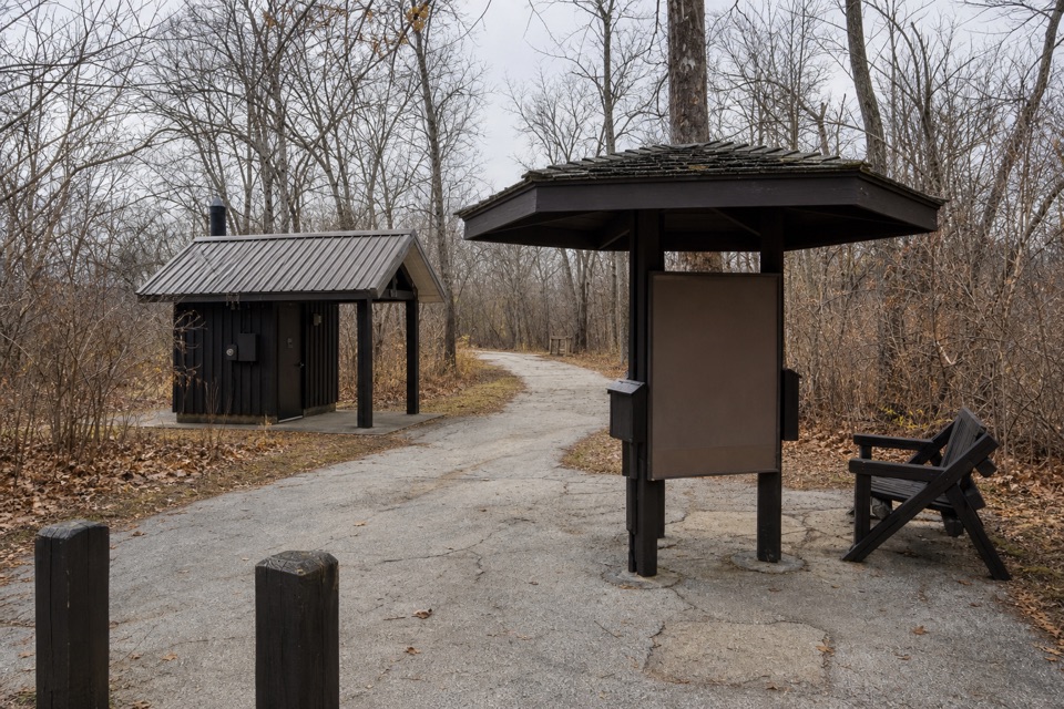 27Buckeye and Towpath Loop: Red Lock to BostonRugged ridges and ravines out, flat Towpath back.
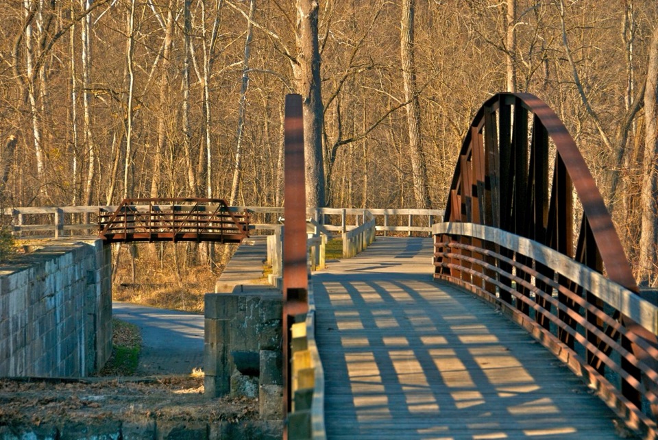 28Boston to Peninsula Buckeye and Towpath LoopClimb wooded ravines, then coast back beside the historic canal.
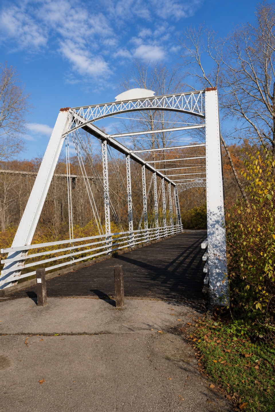 29Buckeye and Towpath Loop: Station Road Bridge to Red LockBuckeye hills and a canal-side Towpath make one varied loop.
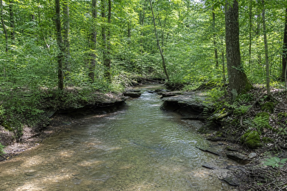 30Wetmore TrailA hilly woods loop with creeks and old farm paths
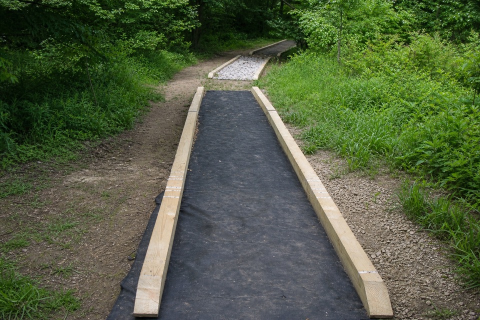 31Cross Country TrailA hilly dirt loop through a field returning to forest.
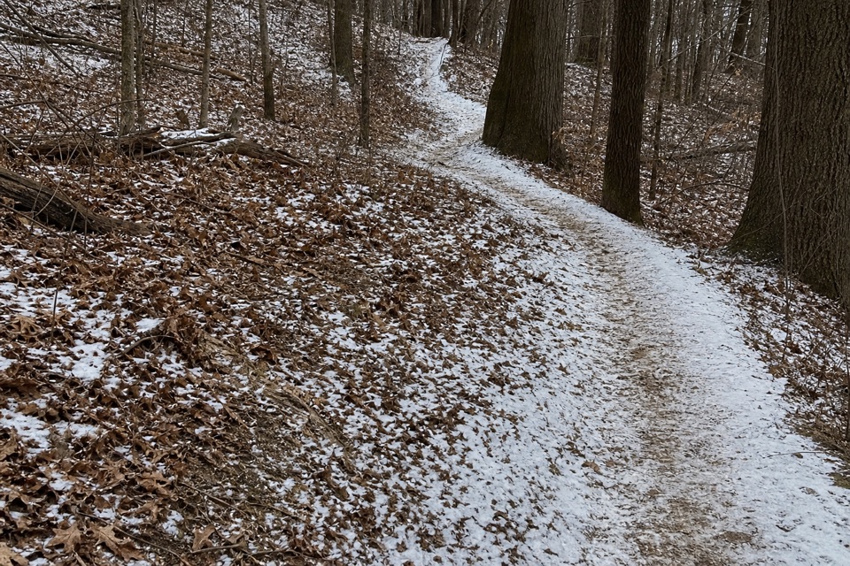 32Langes Run TrailA hilly woodland trail shared with horses, creeks and wildflowers
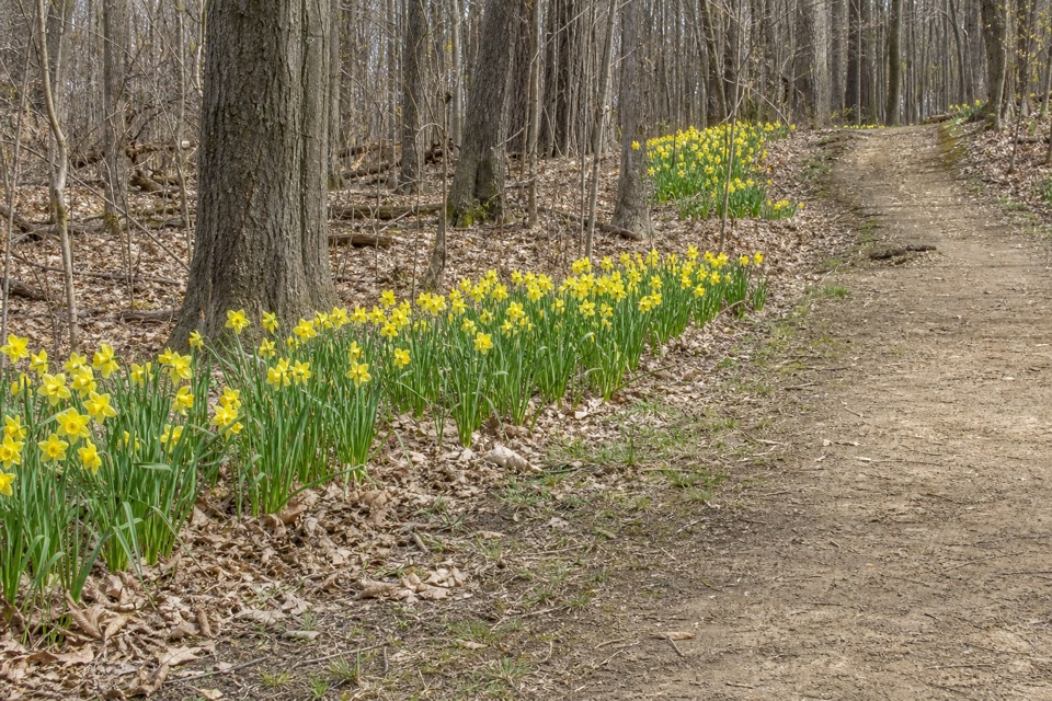 33Daffodil TrailA gentle spring loop among thousands of daffodils.
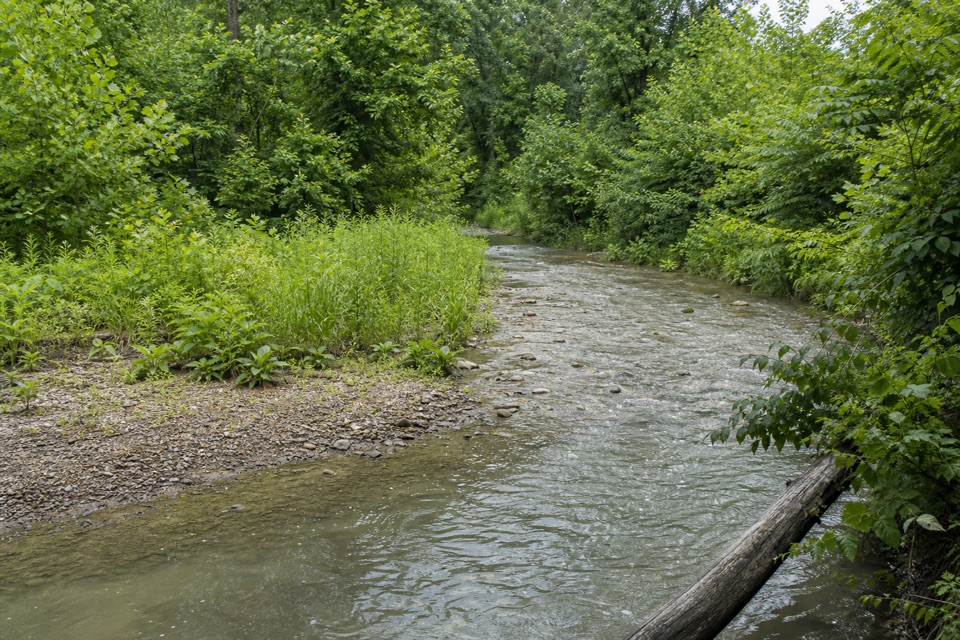 34Deer Run TrailRolling woods, Yellow Creek, and an old farm barn.
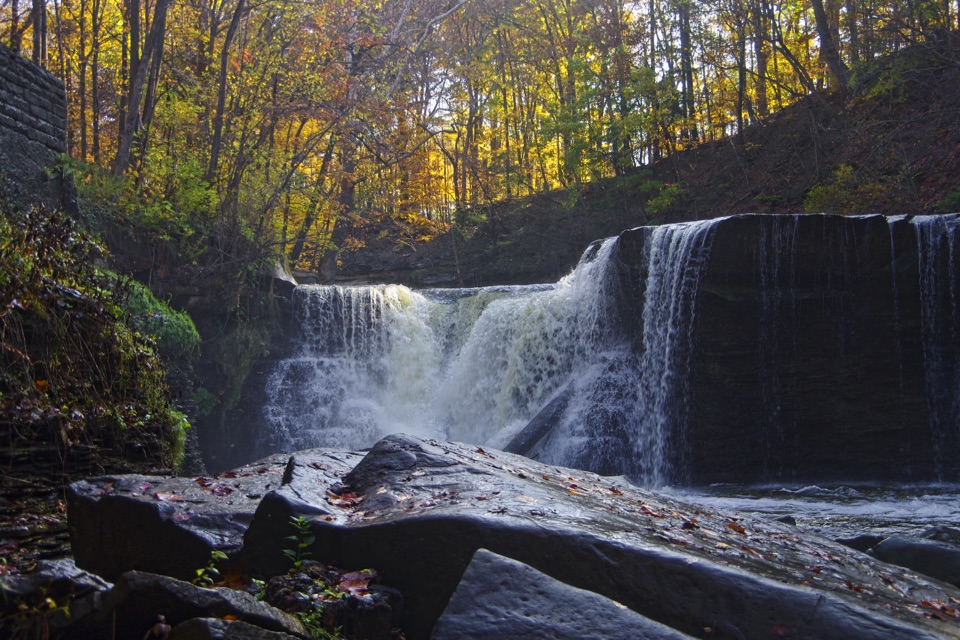 35Viaduct Park LoopA short gorge loop with Great Falls views and mill history.
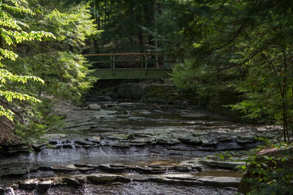 36Bridal Veil Falls WalkA short stairway walk to a low cascade in a wooded gorge.
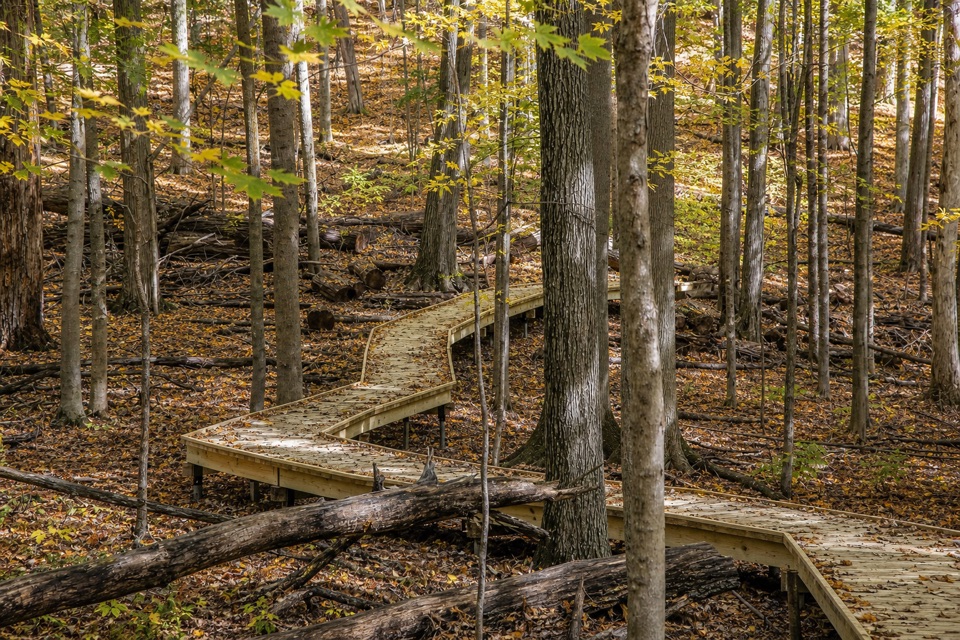 37My Mountain TrailSeven crossings and a boardwalk lead to a wooded valley overlook.
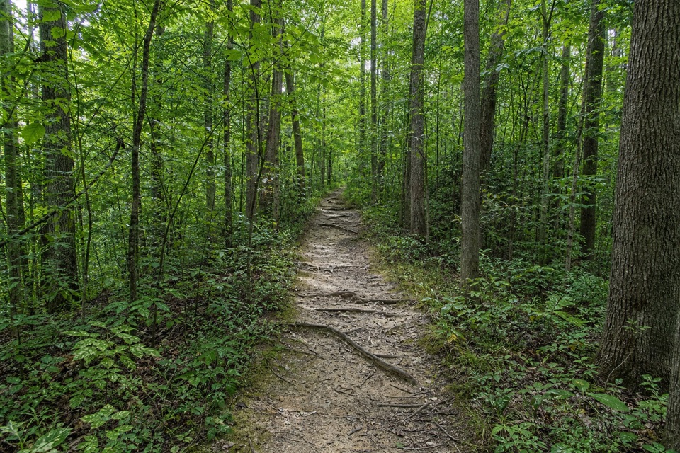 38Wildlife Woods TrailA short, rooty climb with a longer trail loop nearby.
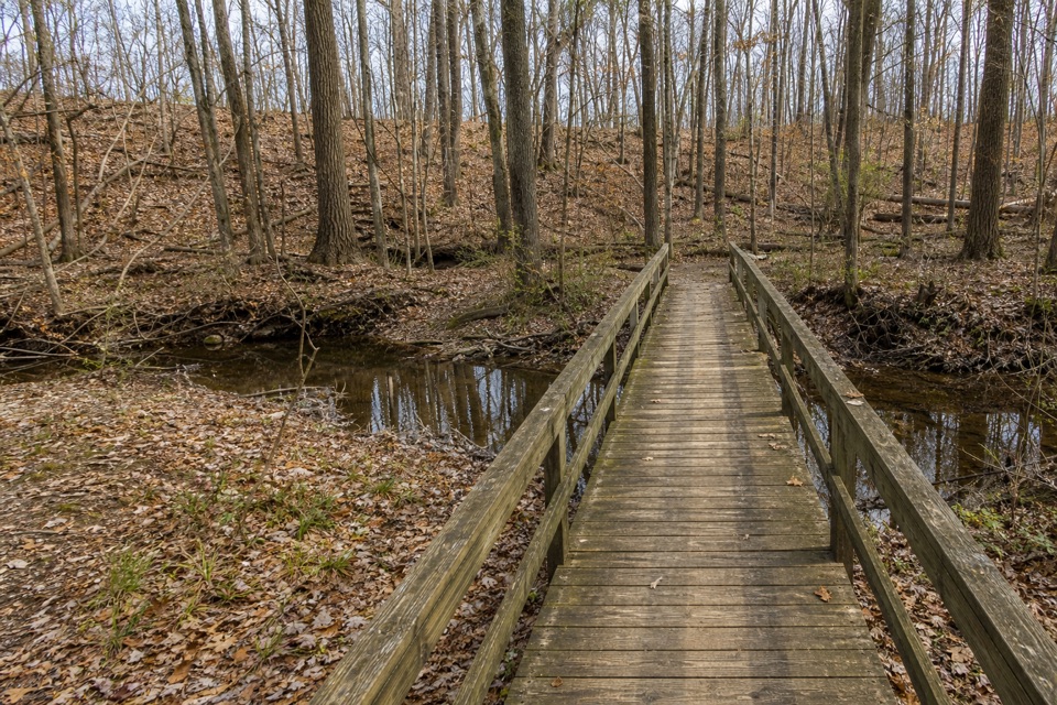 39Rock Creek TrailA short creek loop with a footbridge under hardwood trees.
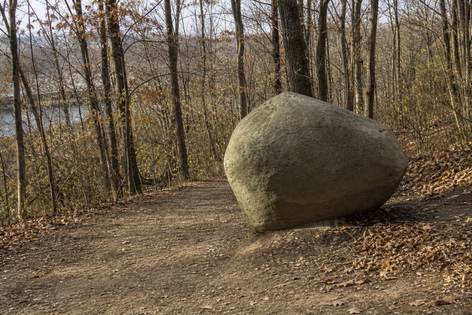 40Old Mill TrailA short wooded loop past a marker honoring the Brush family.
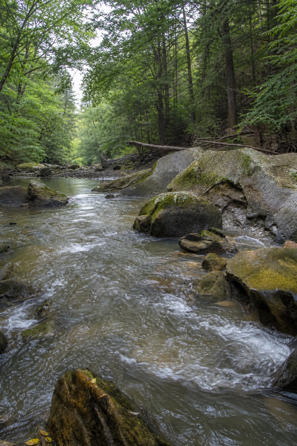 41Gorge LoopGo down the stone stairs for Chippewa Creek and sandstone boulders.
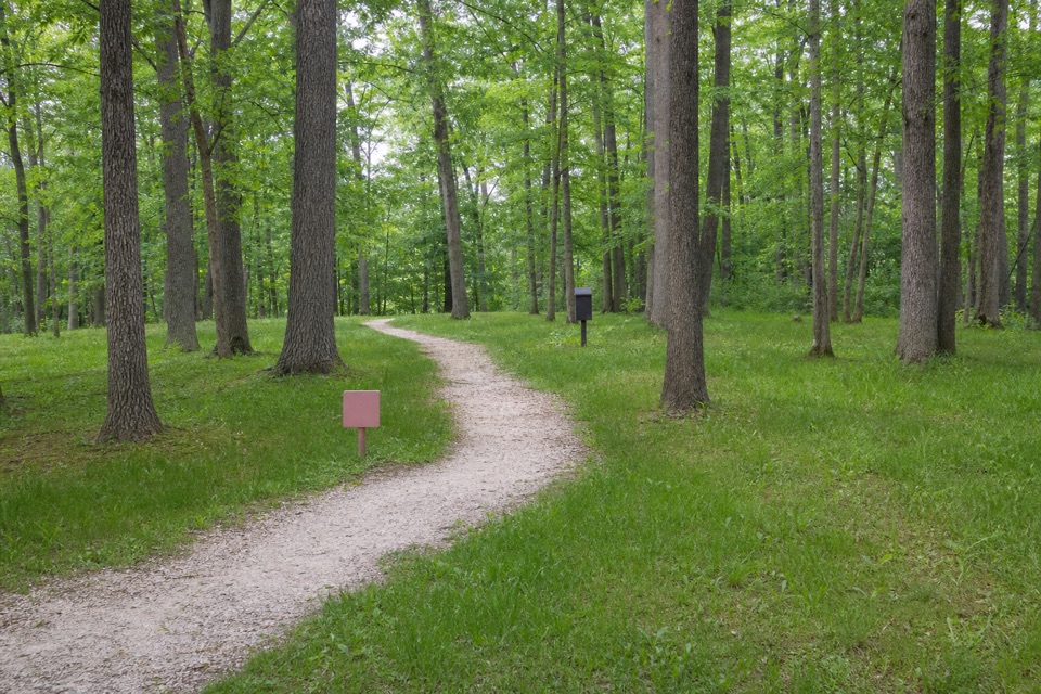 42Haskell Run TrailA short ravine loop with a connector to the Ledges
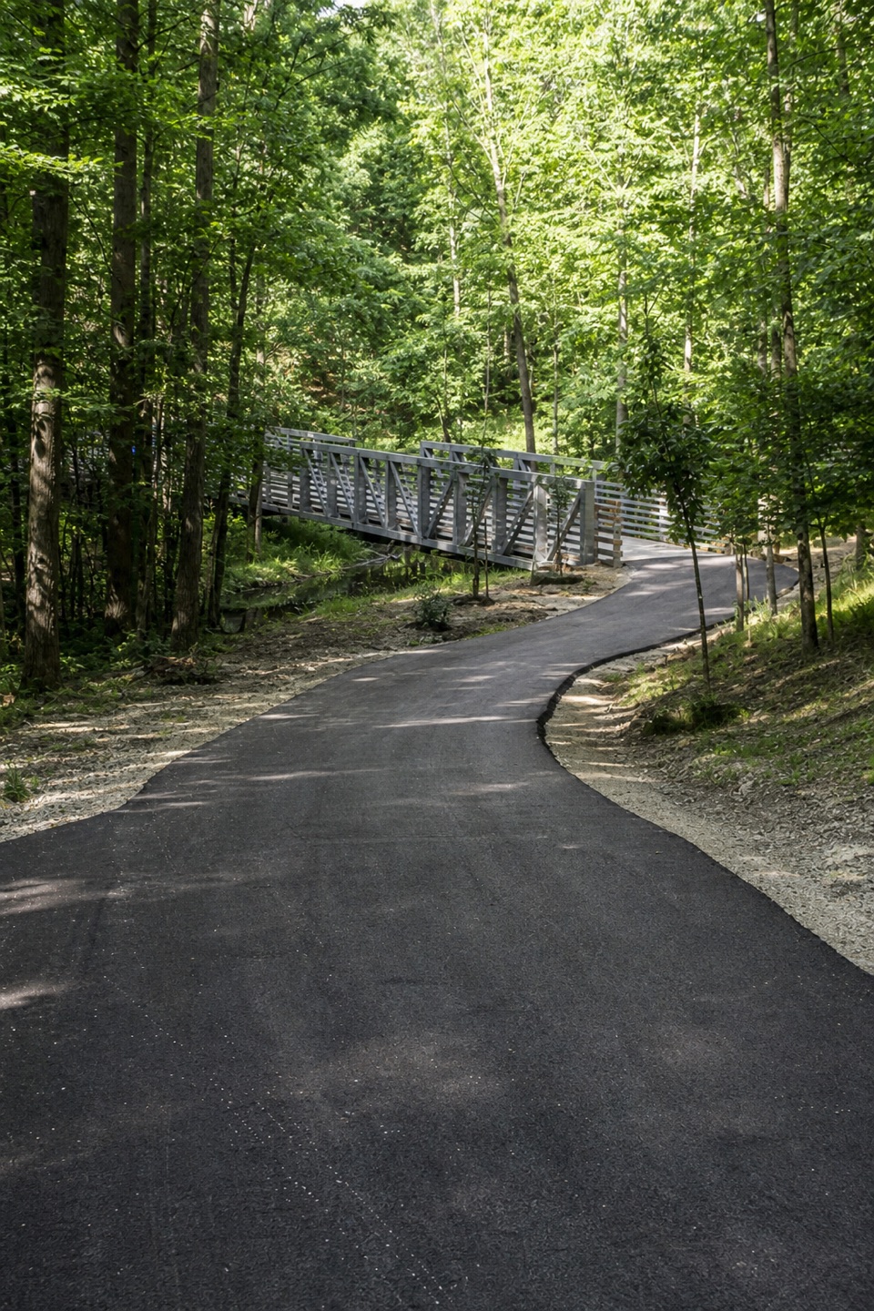 43Hemlock Creek TrailA paved creekside walk crosses the river to the Towpath.
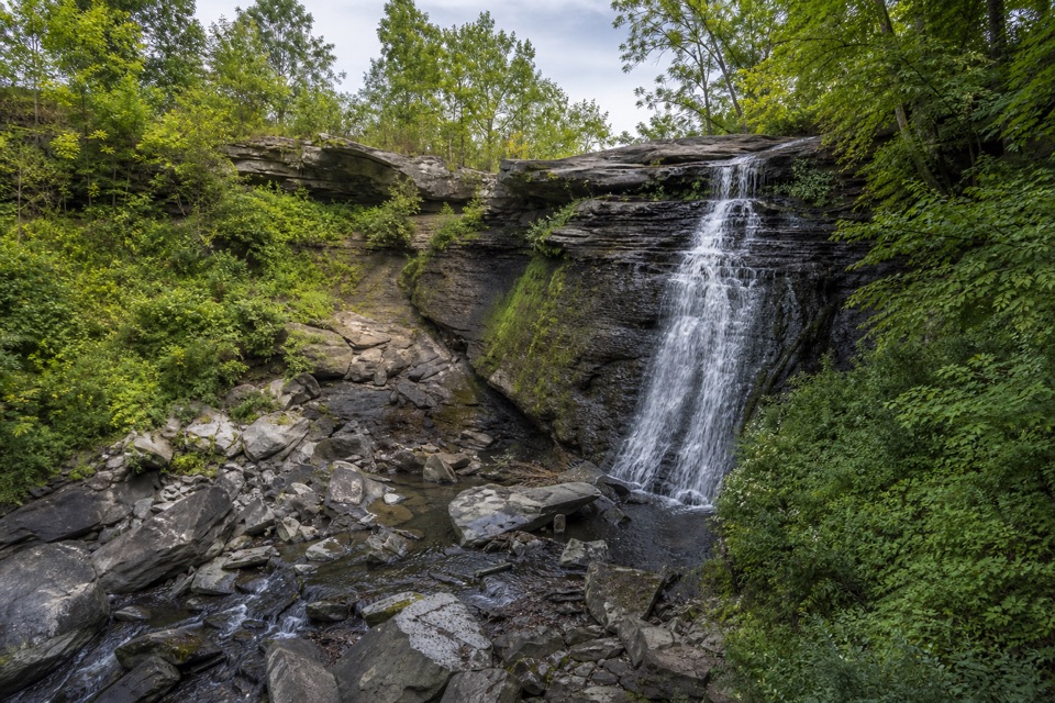 44Bike & Hike Trail: Brandywine Falls to Boston HeightsAn easy paved link with a waterfall at the northern access.
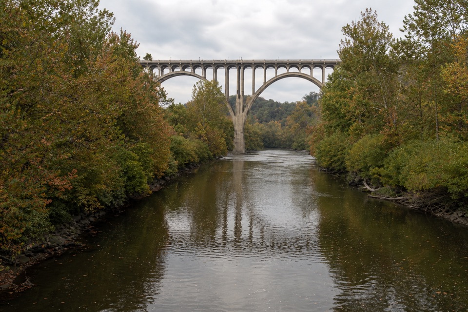 45Brecksville All Purpose Trail: Gorge to Station Road BridgeA paved creekside walk ends at a memorable river bridge.
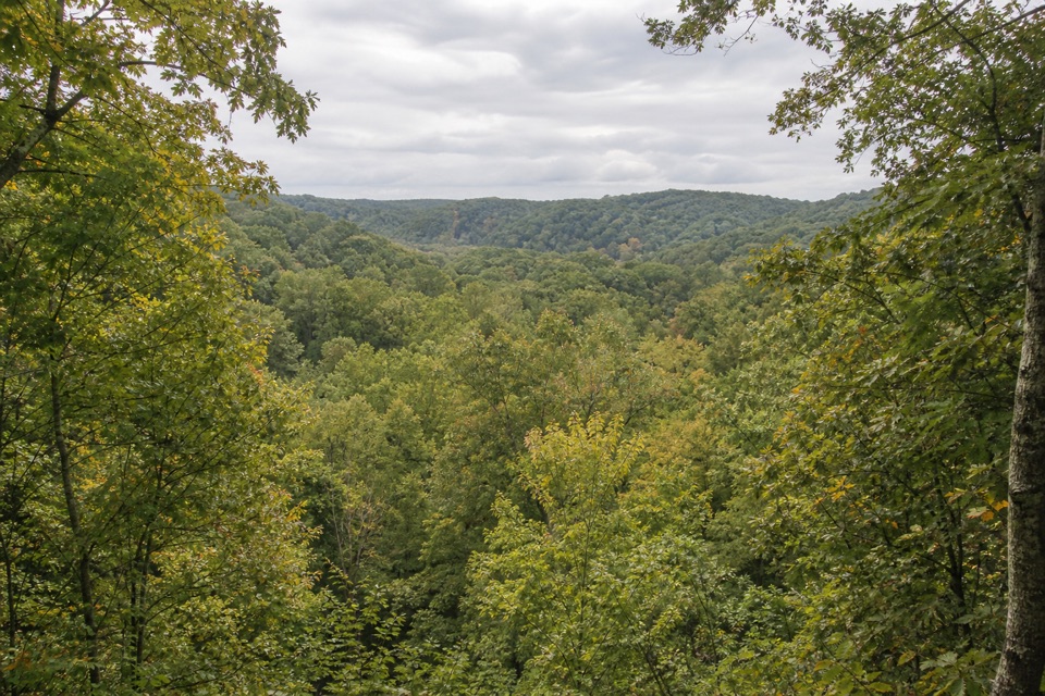 46Bedford Reservation All Purpose TrailA paved, wooded 7.6-mile crossing, east to west.
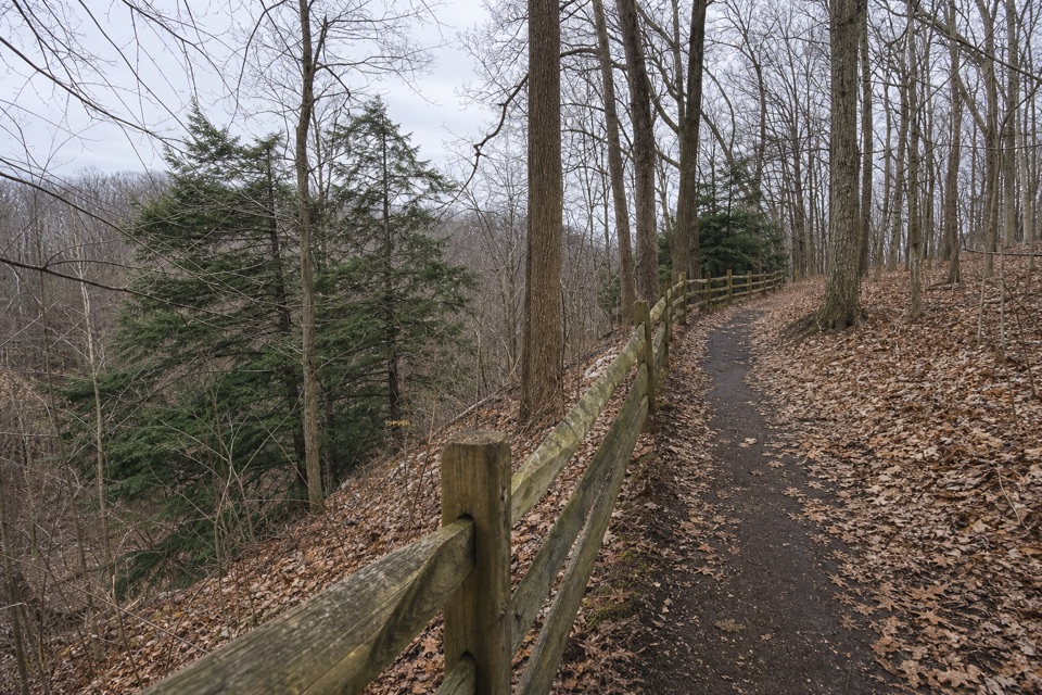 47Egbert Loop TrailA short wooded path above the gorge, best walked out and back.
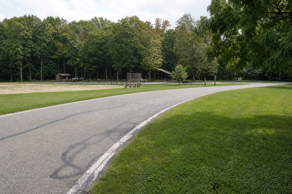 48North Bridle LoopA short loop through the shared bridle network.
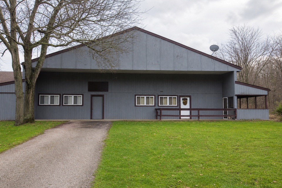 49South Bridle LoopA short bridle loop beside Brecksville Stables.
 50Forbes Woods Ridge TrailA quarter-mile paved loop circles a wooded ravine.
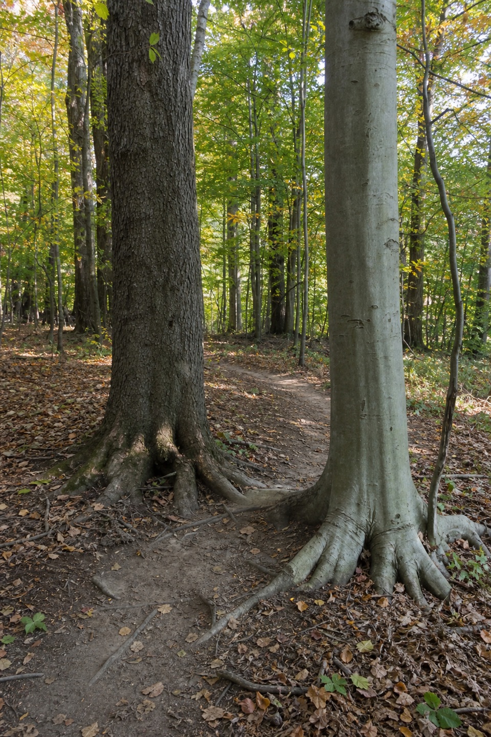 51Bedford Singletrack LoopA long forest circuit linked by one-way singletrack and paved paths.
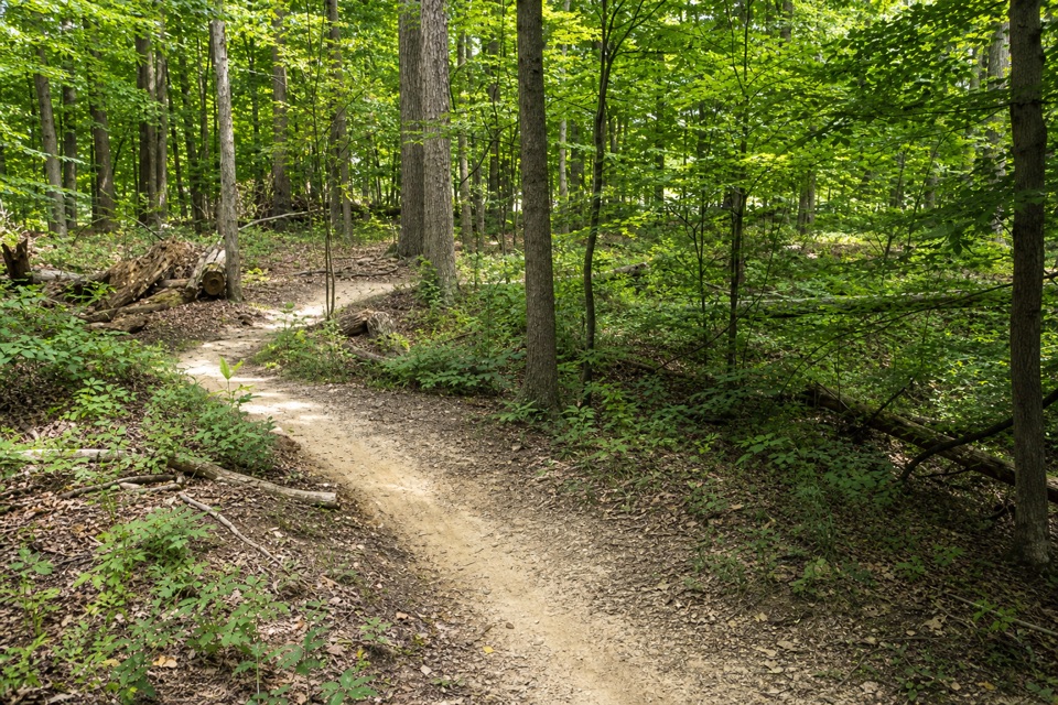 52East Rim TrailA hilly 2.3-mile loop shared with mountain bikers.
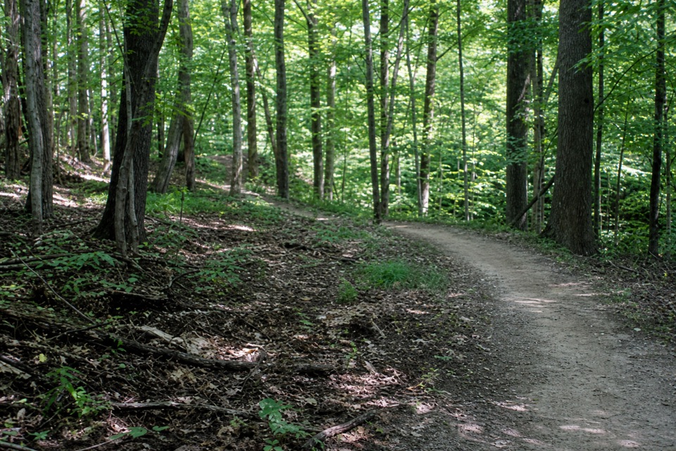 53Lamb Loop TrailRocky singletrack drops to a stream before climbing out.
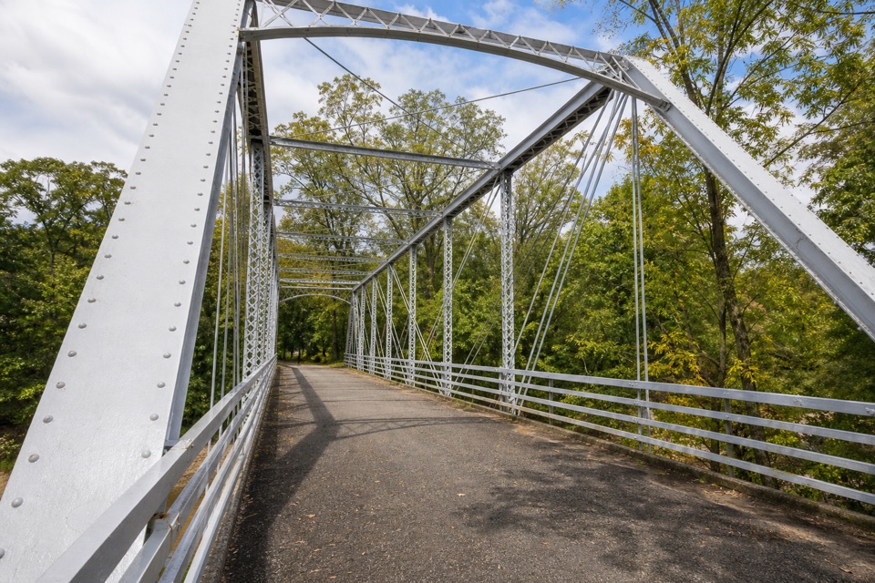 54Station Road Bridge to Mudcatcher WalkA short river loop over an iron bridge and through canal history.
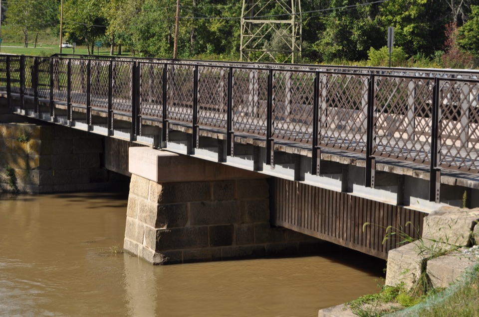 55Canal Exploration Center to Tinkers Creek Aqueduct WalkA short canal walk past Lock 38 to Tinkers Creek Aqueduct.
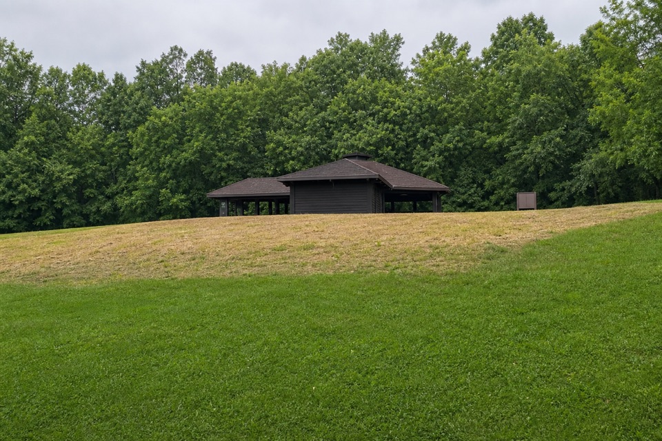 56Forest Point TrailA flat half-mile walk with a picnic shelter at the start.
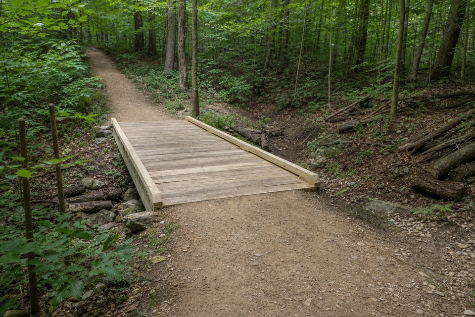 57Tabletop TrailA short dirt segment through the Wetmore trail network.
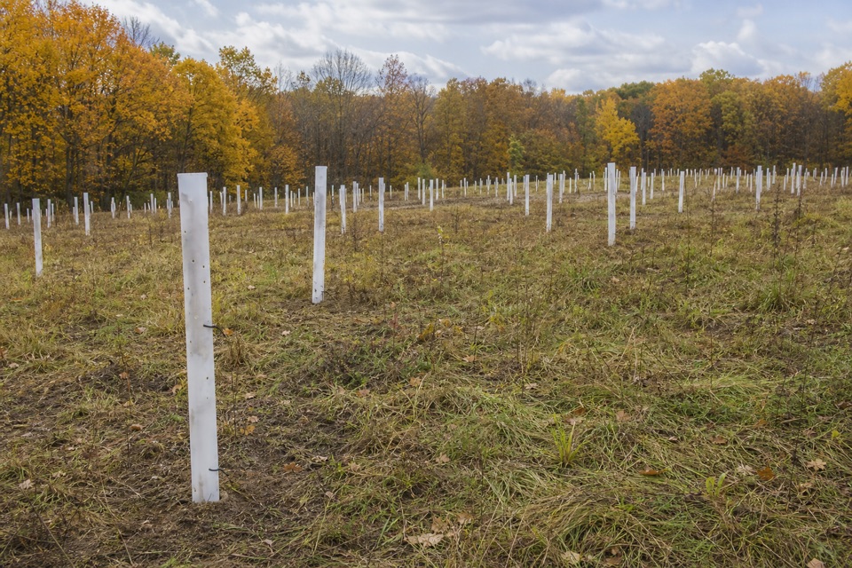 58Butlers TrailA short rolling dirt path into the Wetmore trail network.
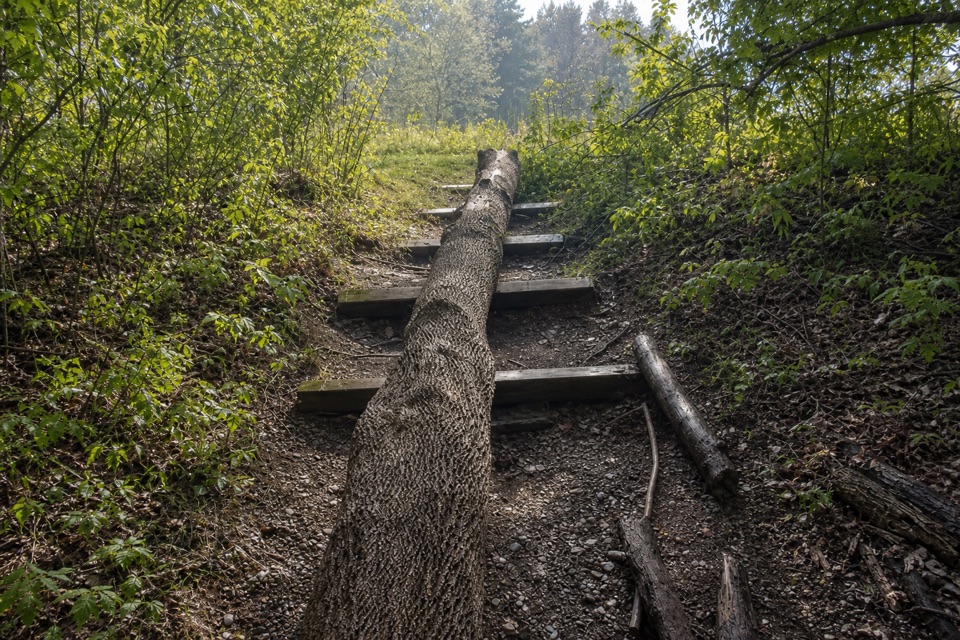 59Dickerson Run TrailA shaded, gradual connector from Langes Run to Wetmore.
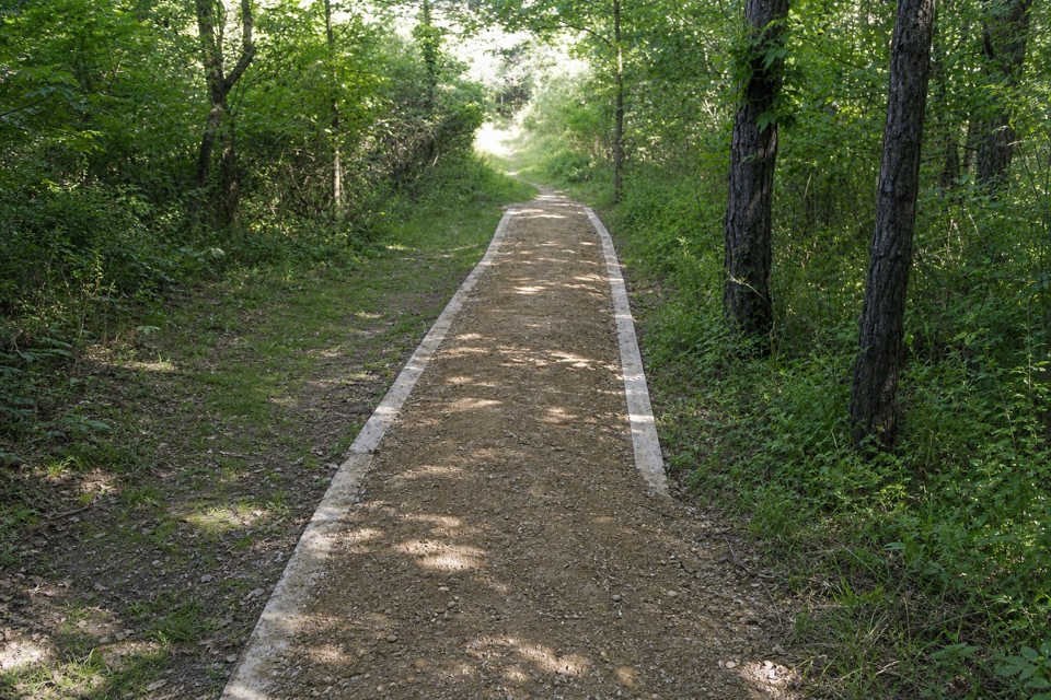 60Valley TrailA long shared-use route from Brecksville toward Everett.
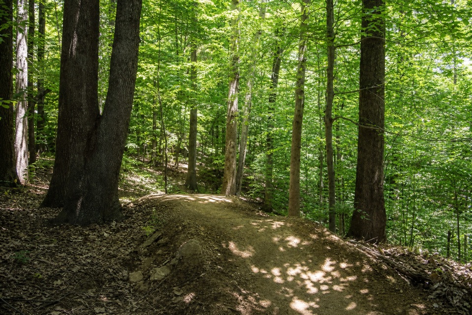 61Edson Run TrailA short, one-way singletrack from Bike & Hike to Lamb Loop.
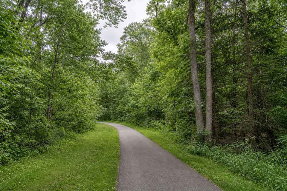 62Parkway Bridle TrailA long, mixed-surface bridle corridor shared by hikers and horses.
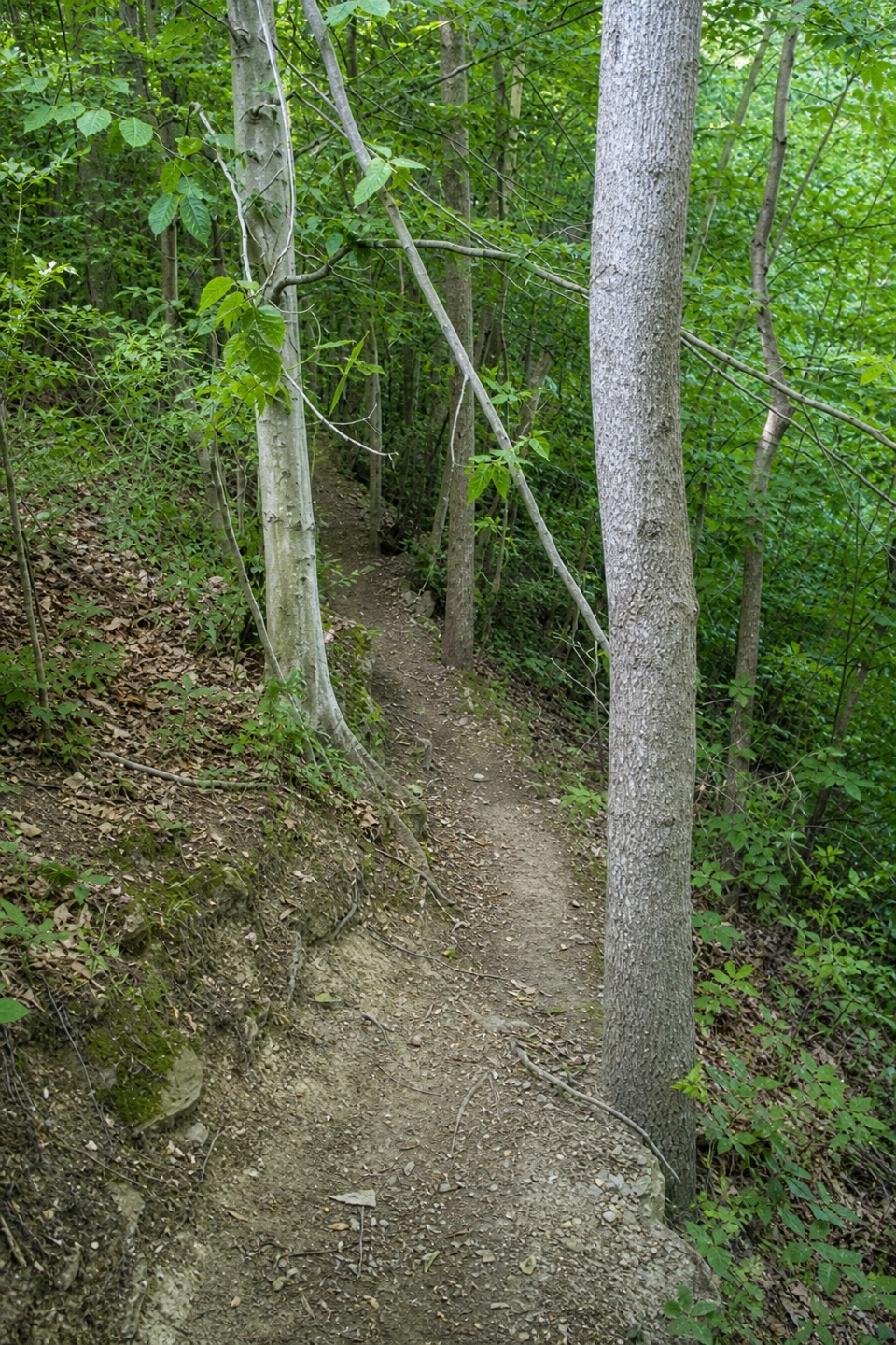 63Post Line TrailA boulder line adds a technical twist to East Rim's wooded loop.
The highest, rockiest slopes around here are a summer buffet for grizzly bears.
Cuyahoga Valley Tour Guide
Cuyahoga Valley, narrated.
Parkwolf is a GPS audio tour guide for Cuyahoga Valley National Park. As you drive, it chimes in with what’s ahead: hidden gems, upcoming stops, history, geology, and wildlife, right through your car’s speakers.
Recorded for this place
Brandywine Falls0:00 / 0:32
“You're coming up on Brandywine Falls, where a short boardwalk leads to a sixty-foot waterfall. Do this one even if you don't want a hike; about half an hour gives you time to enjoy the falls.”
Plays as you drive up to Brandywine Falls in the Parkwolf Cuyahoga Valley Tour Guide.
More stories near here in the app
- The Village Powered by the Falls
- A Flower That Makes Heat
- Stanford House and Stanford Trail
- A Grove That Could Be One Plant
- 97 audio storiesacross Cuyahoga Valley’s roads, triggered by GPS as you drive
- Wildlife heatmapsfor Bald Eagle, River Otter, Coyote, and 13 more
- Works offlinemaps, 63 trails, 88 places, and audio download before you lose signal
- CarPlay readysimple controls built for the drive
“Fantastic app with many points of information… It’s great to just turn on while you’re driving and it gives you an audio tour of the national Park. We love it!!!!”

