
All Fiordland trails
68 trails
 1Milford TrackFour days of rainforest, alpine pass, and waterfalls to Milford Sound
 2Routeburn TrackA 20.5-mile alpine point-to-point Great Walk from The Divide to Routeburn Shelter
 3Kepler TrackA 60 km Great Walk loop through beech forest, lakeshores, and exposed alpine ridges.
 4Luxmore Summit TrackClimb through beech forest to Mt Luxmore's high alpine views.5Kepler Track to Mount LuxmoreA demanding Kepler out-and-back from Control Gates to the 1,472 m Mount Luxmore summit6Sutherland Falls TrackA short, steep side trip to New Zealand's tallest waterfall
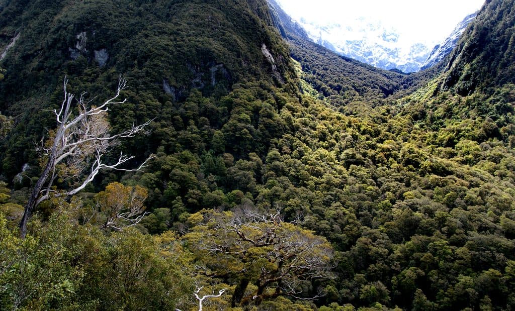 7Lake Marian TrackShort, rough climb to a mirror-still alpine lake in a hanging valley
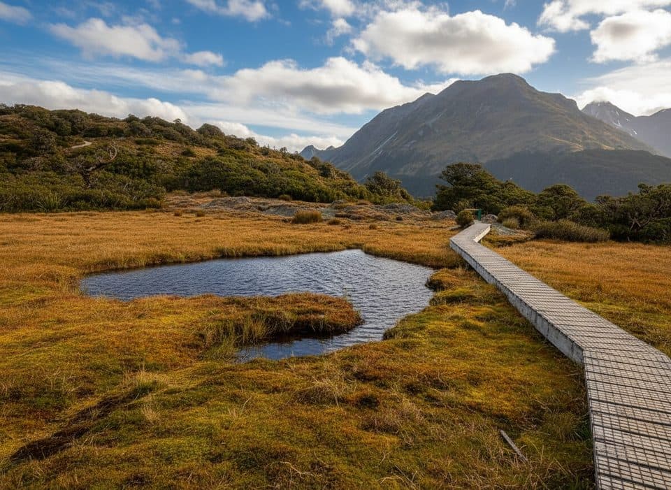 8Key Summit TrackA short alpine climb to tarns and Fiordland-wide views9Barrier Knob from Gertrude Saddle Car ParkA demanding alpine out-and-back from Gertrude Valley car park to 360° views on Barrier Knob10Gertrude Saddle RouteDemanding alpine route to a high saddle above the Gertrude Valley
 11Routeburn Track to Lake MackenzieBeech forest, Earland Falls, and a glassy alpine lake
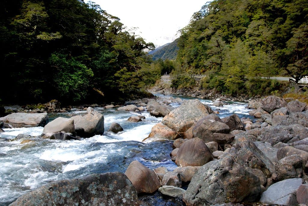 12Hollyford TrackA remote mountains-to-sea tramp from Lower Hollyford Road to Martins Bay.
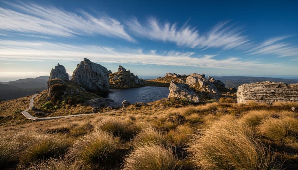 13Tuatapere Hump Ridge TrackCoast-to-alpine loop with big views, heritage viaducts, and comfy lodges.
 14Hump Ridge TrackCoast-to-alpine Great Walk with big views and comfy lodges
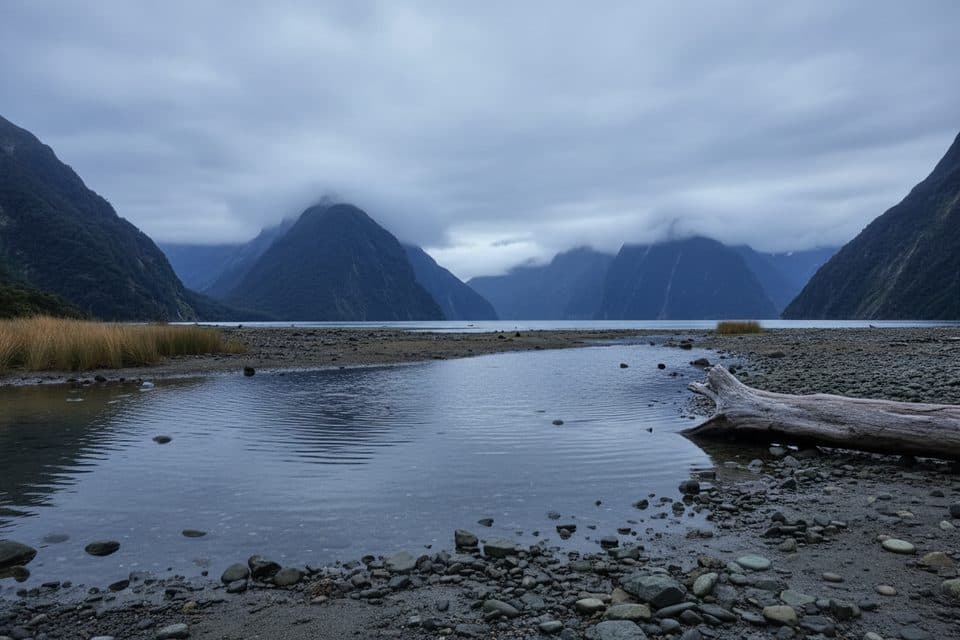 15Milford Foreshore WalkIconic Mitre Peak views on a quick, flat foreshore loop
 16Milford Track: Sandfly Point to Giant Gate FallsA gentle Milford Track day walk to a 30 m waterfall
 17Routeburn Track to Earland FallsA full-day walk to Fiordland's 174 m waterfall
 18Waitutu TrackRemote viaduct-and-forest tramp into Fiordland's wild south coast
 19Dusky TrackA remote hut trek through Fiordland's mud, mountains and wild water.20George Sound TrackExpert, multi-day wilderness route from Lake Hankinson to George Sound
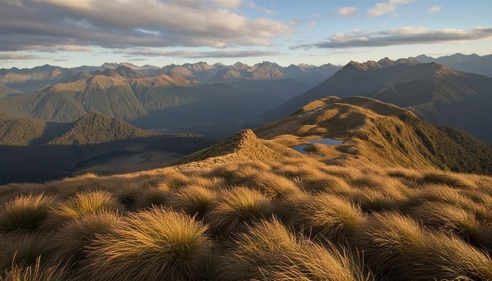 21Mount Burns Tarns TrackShort, punchy climb to alpine tarns above Borland Saddle
 22Monument TrackA steep, boat-in scramble to Lake Manapouri’s grandstand view
 23Circle TrackAdvanced 6.9 km loop to a Lake Manapouri lookout in Fiordland
 24Hollyford Track to Hidden FallsRainforest out-and-back to Hidden Falls and the remote Hidden Falls Hut
 25South Coast TrackRugged south coast, tramway viaducts, dolphins, and deep mud.
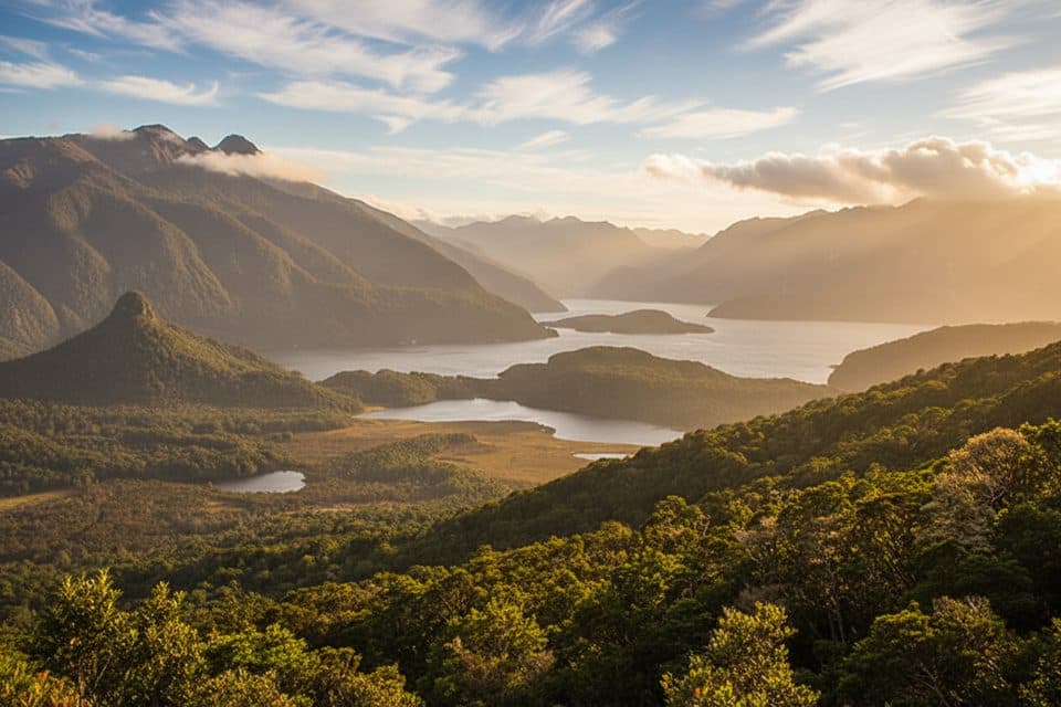 26Manapouri Circle TrackA demanding Fiordland loop to a 300 m lake viewpoint, reached by water taxi27Greenstone TrackQuiet point-to-point Fiordland tramp through beech forest, tussock, and river valleys
 28Cascade Creek Nature WalkShort beech-forest loop with easy Lake Gunn and mountain peeks29Lake Hauroko Lookout TrackA steep, rough rainforest climb to a rugged panorama above Lake Hauroko
 30Lake Howden TrackA short beech-forest walk from The Divide to Lake Howden.
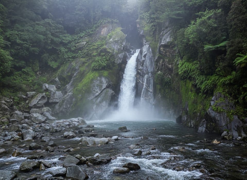 31Giant Gate Falls TrackEasy Milford Track day walk to the swing-bridge view of Giant Gate Falls
 32Hidden Falls TrackRainforest return walk to Hidden Falls and a riverside hut
 33Caples TrackPoint-to-point tramp through the Caples valley to The Divide Shelter34The Chasm WalkA quick wow: roaring chasm, sculpted rock, and lush rainforest
 35Lake Alabaster TrackA quiet forest traverse to Fiordland’s lakeside hut
 36Pop's View Lookout WalkRoadside panorama over the Hollyford Valley with kea and a memorial37Mirror Lakes WalkTen-minute, mirror-perfect stop for Earl Mountains reflections
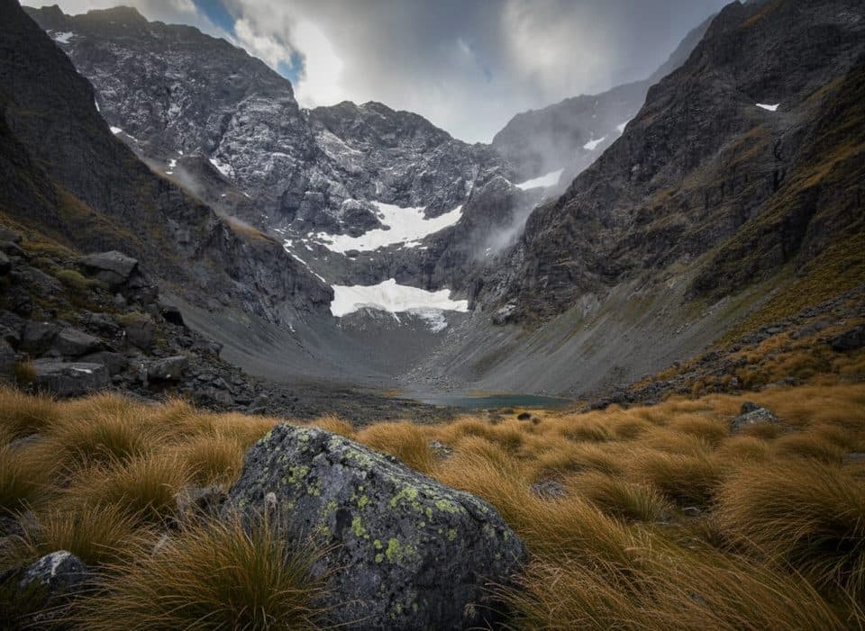 38Mistake Creek TrackWild beech valley to open flats with a walk wire and crossings.
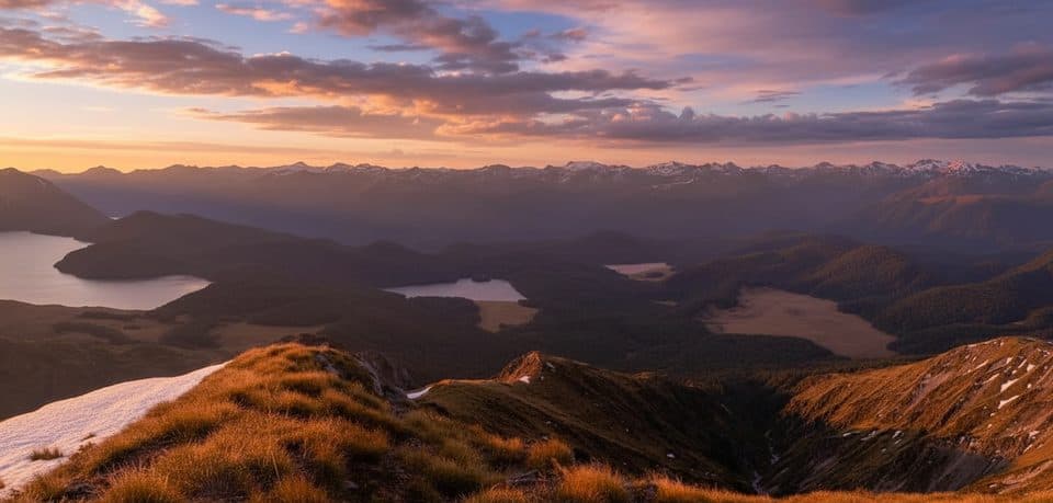 39Green Lake TrackRemote point-to-point tramp from Lake Monowai to Green Lake Hut
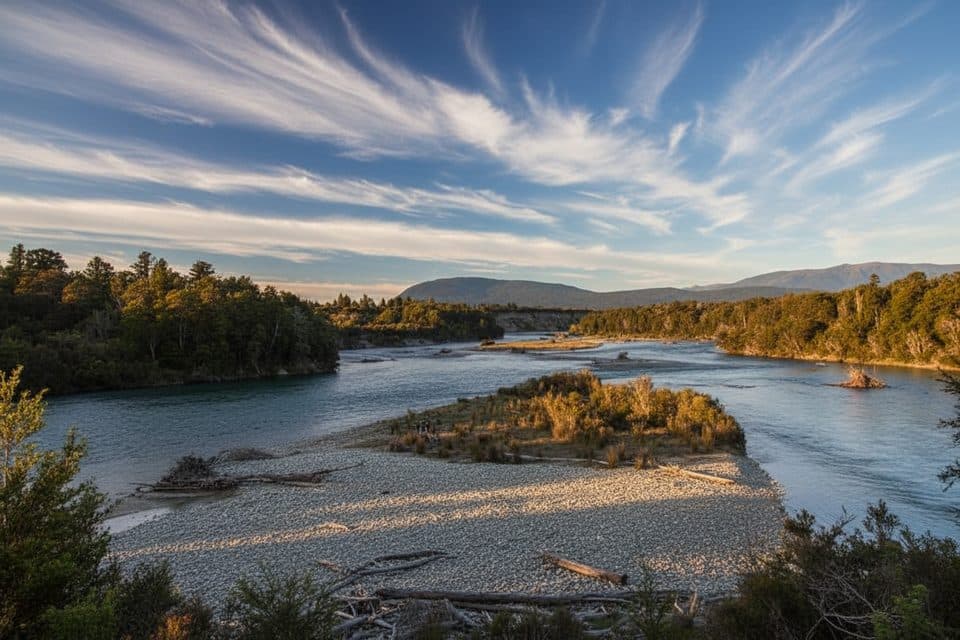 40Kepler Track: Rainbow Reach to Shallow BayA gentle Kepler Track sampler from Rainbow Reach to Shallow Bay.
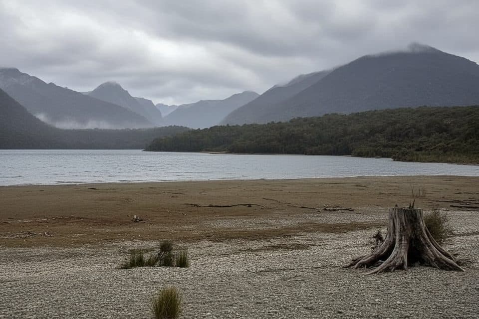 41Shallow Bay TrackBeech forest stroll to Lake Manapouri’s quiet, swimmable Shallow Bay.
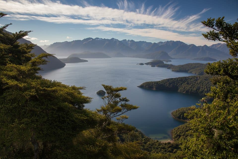 42Hope Arm TrackQuiet beech-forest walk to Hope Arm Hut and a lakeside beach on Lake Manapouri43Grebe Valley TrackRemote Borland Road-to-Lake Monowai traverse via Green Lake Hut
 44Lake Gunn Nature WalkEasy beech-forest loop from Cascade Creek to Lake Gunn
 45Dock Bay TrackShort lakeside walk to Dock Bay, forest, and a swim spot.
 46Big Bay–Martins Bay Coastal RouteRemote beaches, big rivers, and penguins on a wild coastal edge
 47Puysegur Point TrackRemote 3.7-mile out-and-back from Landing Shed to a decommissioned lighthouse
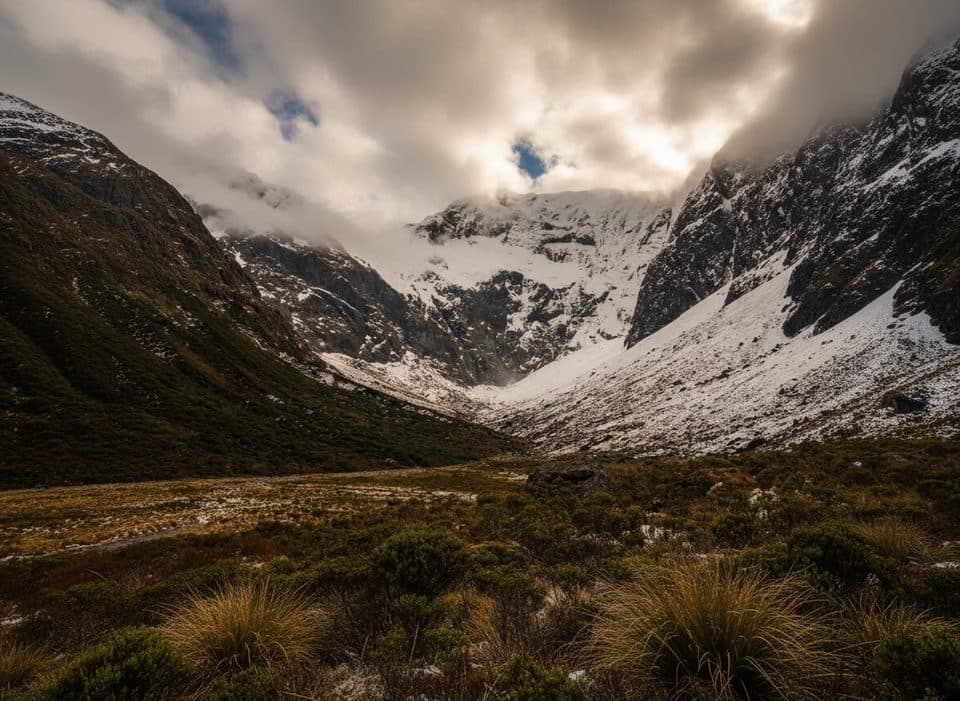 48Falls Creek RouteAn expert route from Christie Falls into raw Fiordland backcountry
 49Hauroko Burn TrackA remote, boat-accessed Dusky Track leg from Hauroko Burn to Lake Roe
 50Humboldt Falls TrackShort rainforest stroll to a big, distant waterfall viewpoint51Eglinton Nature WalkFlat, easy red-beech forest loop with Lake Gunn and mountain views.52East Homer Nature WalkA quick alpine out-and-back beside the Homer Tunnel, with native flora and kea sightings.
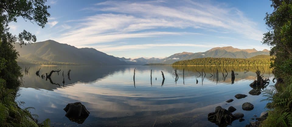 53Lake Monowai Lookout TrackShort beech-forest walk to a Lake Monowai viewpoint
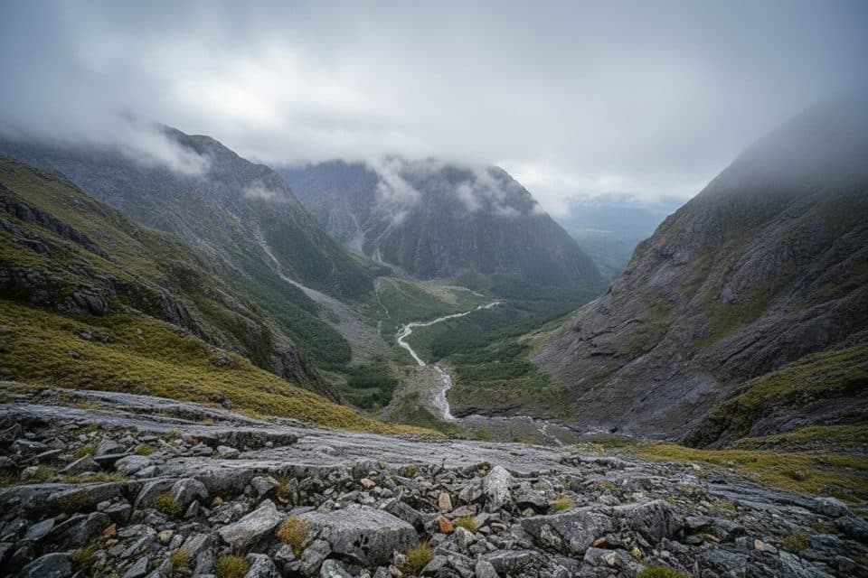 54Grave–Talbot TrackA hard, rough out-and-back from Gulliver River Bridge to the Esperance River grasslands.
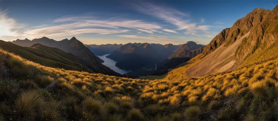 55Dore Pass RouteRugged back door to the Milford Track—no boat required.
 56Jamestown TrackHistoric Jamestown site on a remote Hollyford Track out-and-back57North Borland Hut TrackAdvanced out-and-back to North Borland Hut through the Borland Valley
 58Marian Falls TrackA quick rainforest stroll to photogenic cascades and a swing bridge
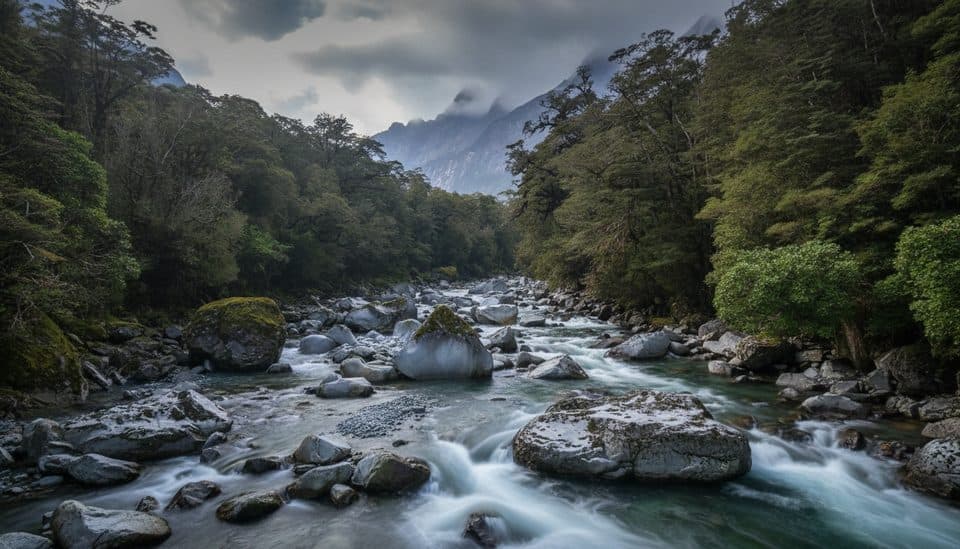 59Tūtoko Valley RouteA challenging, rough valley route from Tūtoko Bridge to open flats beneath Fiordland peaks60Demon TrailRemote, rugged Hollyford Track section from McKerrow Island Hut to Hokuri Hut
 61Pyke–Big Bay RouteExpert Fiordland wilderness traverse from Olivine Hut to Big Bay62Kepler Track: Control Gates to Brod BayEasy lakeshore walk through beech forest to Dock Bay and Brod Bay
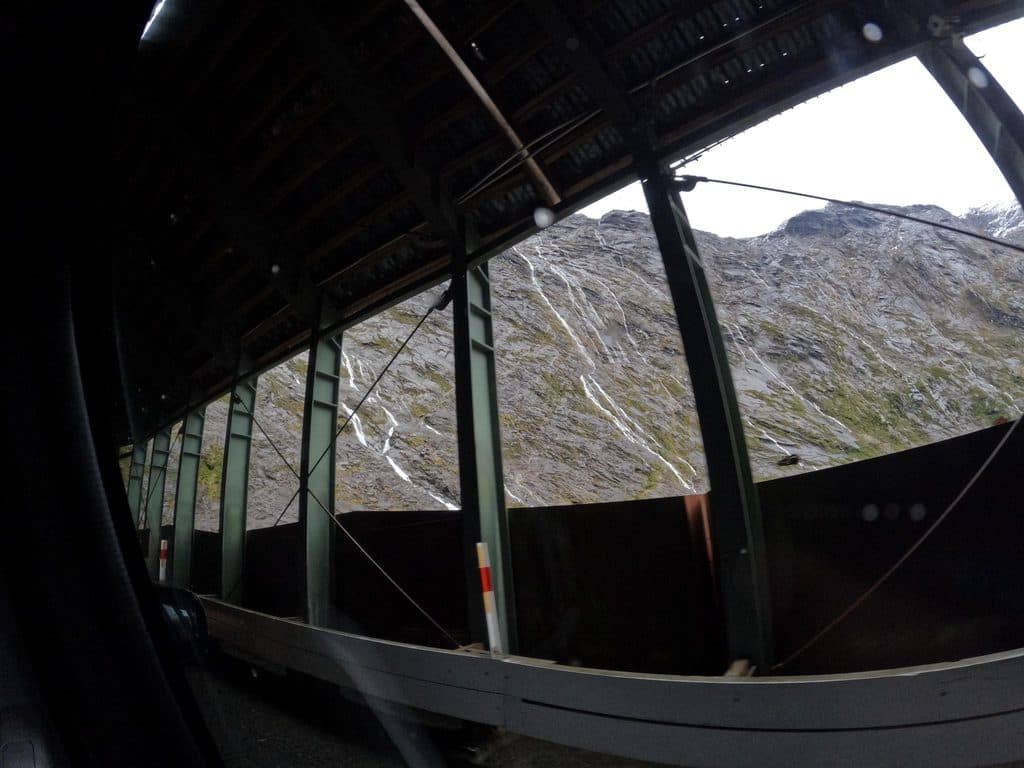 63Homer Tunnel Nature WalkA short self-guided alpine loop beside Homer Tunnel’s Hollyford-side portal
 64Lake Mistletoe TrackA quiet beech-forest loop to a small lake beside Milford Road
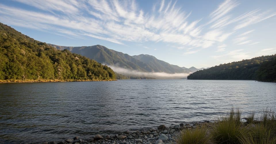 65Borland Nature WalkMossy beech forest loop with a swing bridge and zero crowds.
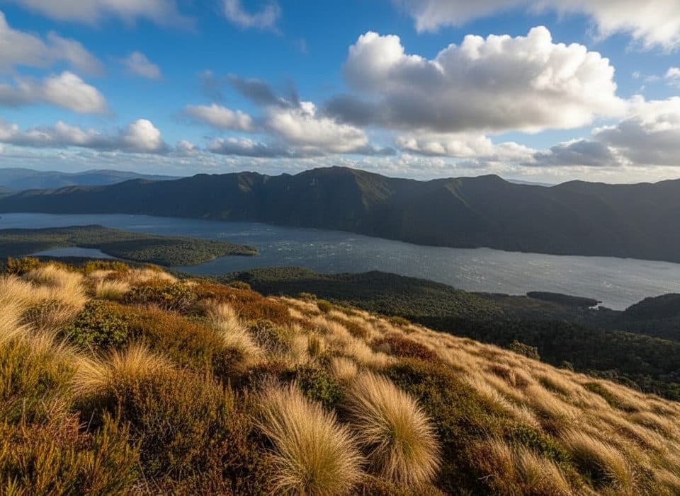 66Rodger Inlet TrackDemanding tramping from Lake Monowai to a remote six-bunk hut on Rodger Inlet67Lake Hankinson TrackShort water-access route to Fiordland’s historic Lake Hankinson Hut68Knobs Flat Nature WalkA short forest walk from Knobs Flat to a hidden 33-m waterfall in Fiordland.

The highest, rockiest slopes around here are a summer buffet for grizzly bears.
Fiordland Tour Guide
Fiordland, narrated.
Parkwolf is a GPS audio tour guide for Fiordland National Park. As you drive, it chimes in with what’s ahead: hidden gems, upcoming stops, history, geology, and wildlife, right through your car’s speakers.
See the Fiordland audio tourRecorded for this place
Mitre Peak, Rahotu ViewpointListen
“Ahead of you is the classic view of Mitre Peak, or Rahotu, as it's known in Māori. It is one of New Zealand's most photographed mountains, rising nearly 1,700 meters straight out of the fiord.”
Plays as you drive up to Mitre Peak Viewpoint in the Parkwolf Fiordland Tour Guide.
More stories near here in the app
- Milford Sound Hub: Foreshore Walk, Airport, and Fuel
- Milford Sound Visitor Terminal and Cruise Check-in
- Bowen Falls: Milford's Powerhouse Waterfall
- Milford Sound's Hidden Midnight Zone
- 126 audio storiesacross Fiordland’s roads, triggered by GPS as you drive
- Wildlife heatmapsfor Kea, Fiordland Penguin, Blue Duck, and 13 more
- Works offlinemaps, 68 trails, 124 places, and audio download before you lose signal
- CarPlay readysimple controls built for the drive
“Fantastic app with many points of information… It’s great to just turn on while you’re driving and it gives you an audio tour of the national Park. We love it!!!!”

