
All Rocky Mountain places
88 places
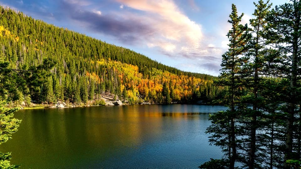 1Bear LakeA classic alpine lake, with Hallett Peak just beyond the shore.
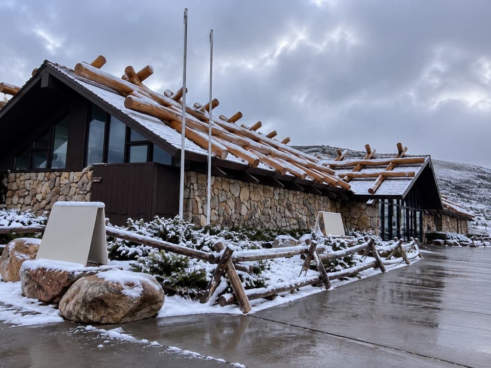 Alpine Visitor CenterThe National Park System's highest visitor center, above the treeline.
 2Emerald LakeThree lakes in, the trail ends beneath steep mountain walls.
 3Longs PeakThe park’s 14,259-foot summit is a serious, exposed climb.
 4Sprague LakeA gentle lake loop for Divide views and possible moose sightings.
 5Dream LakeA mile from Bear Lake, Hallett Peak fills the skyline.
 6Alberta FallsA short, uphill hike ends at a thunderous waterfall.
 7Alluvial FanSee the 1982 flood's boulder fan break into a rushing cascade.
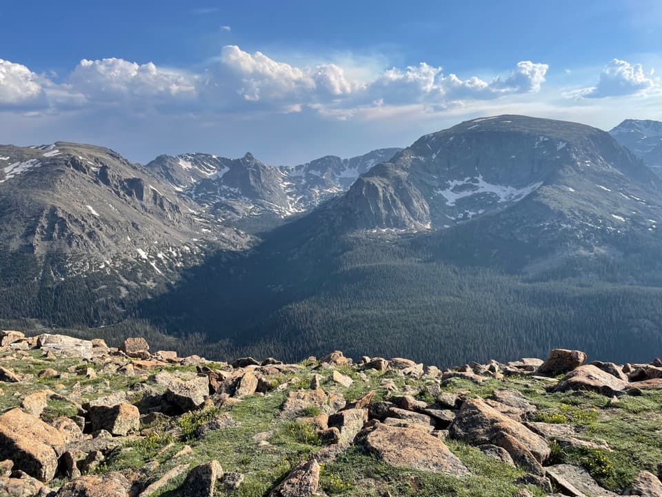 8Forest Canyon OverlookFive minutes of walking reveals a canyon carved by ice.
 9Many Parks Curve OverlookThe lowland parks and Longs Peak line up from this roadside curve.
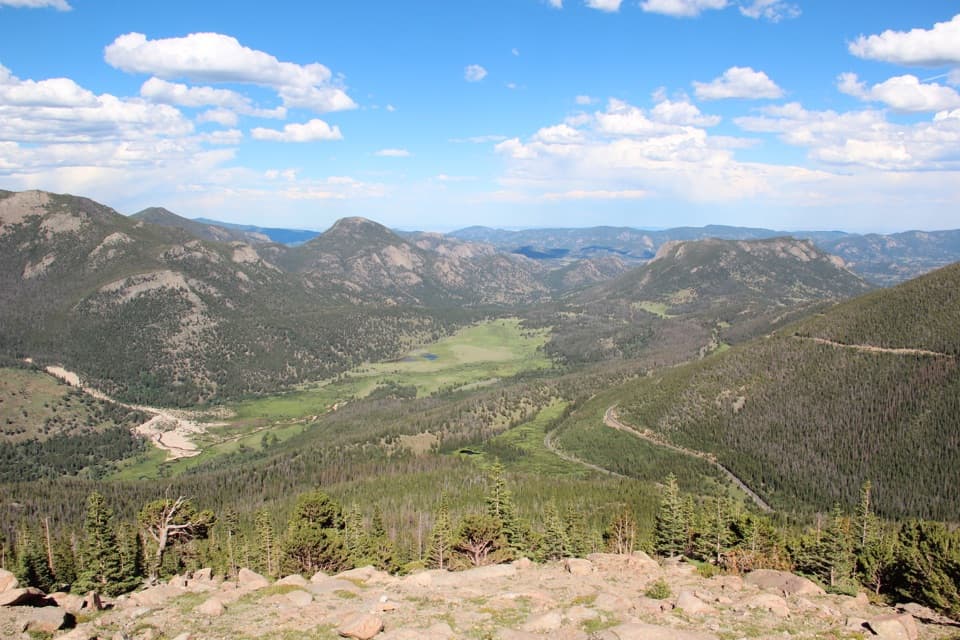 10Rainbow Curve OverlookA quick stop above Horseshoe Park's broad, glacial valley.
 Beaver Meadows Visitor CenterA National Historic Landmark that helps you plan the day.
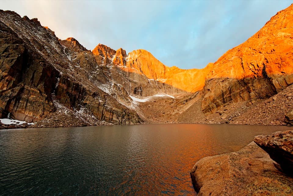 11Chasm LakeA high alpine lake under Longs Peak, reached by a hard hike.
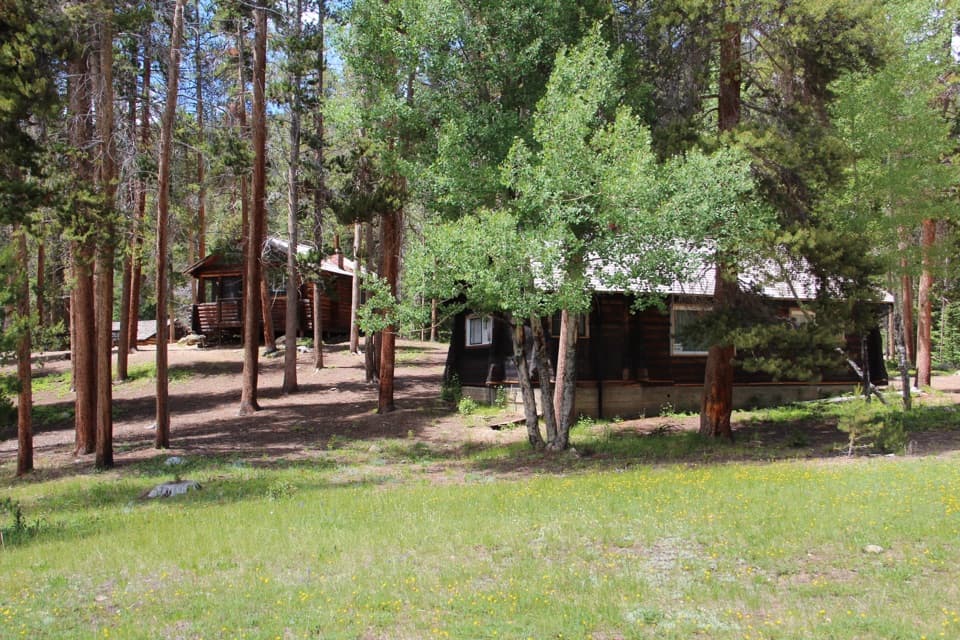 12Holzwarth Historic SiteA mile-long loop through a valley homestead and guest ranch.
 13Moraine ParkAn open glacial meadow with elk beneath Longs Peak and the Divide.
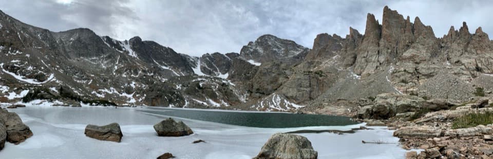 14Sky PondA long climb ends at a high lake ringed by spires.
 15Sheep LakesScan the valley for moose, sheep and elk from the roadside.
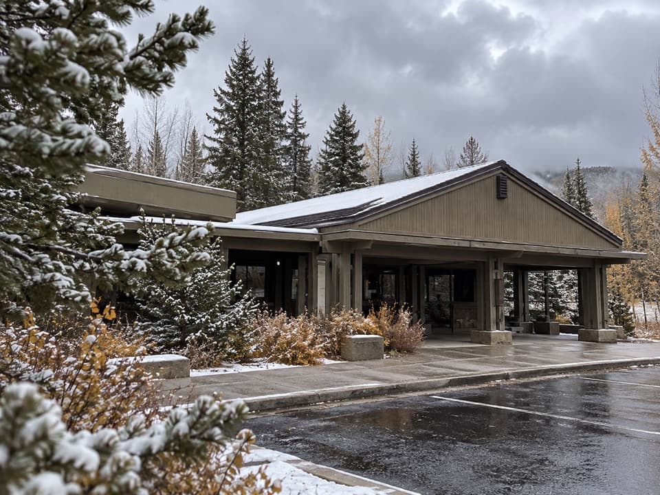 Kawuneeche Visitor CenterStart here for west-side maps, answers, and a park-scale preview.
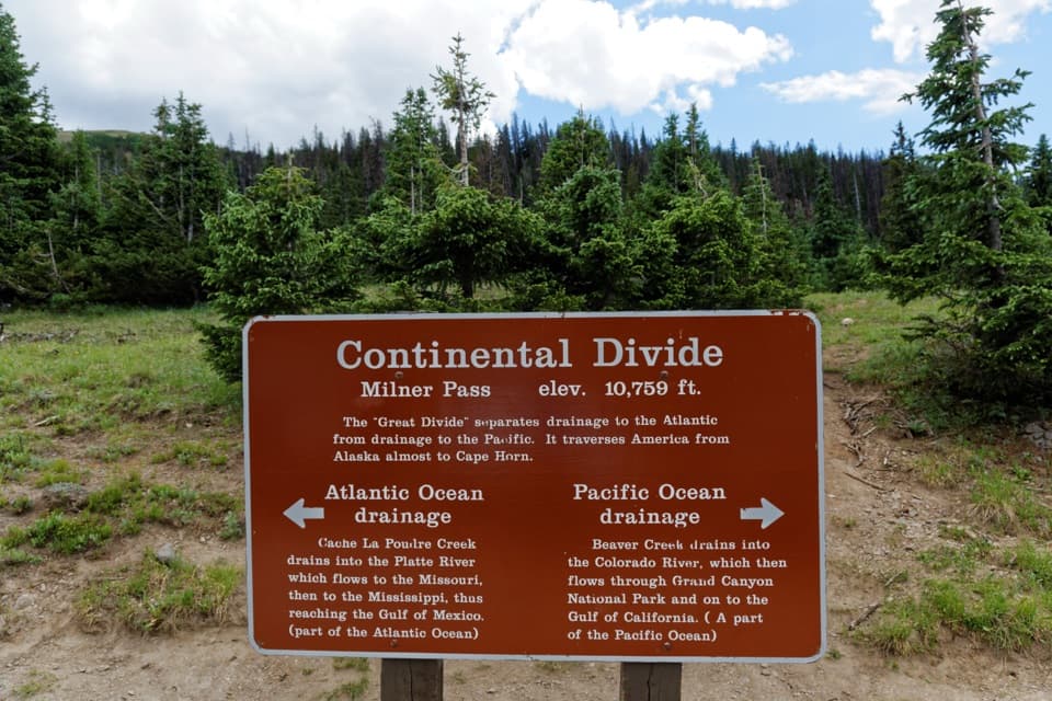 16Milner PassStand at the Continental Divide beside Poudre Lake.
 17Ouzel FallsCopeland and Calypso Cascades come before the 40-foot finale.
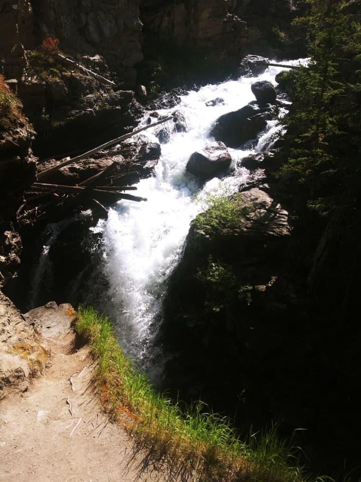 18Adams FallsA short approach, with a higher view above the gorge.
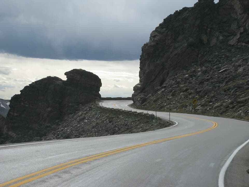 19Rock CutA road cut through the tundra, with pikas among the rocks.
 20Lake HaiyahaA mountain lake tinted green by a 2022 rockslide.
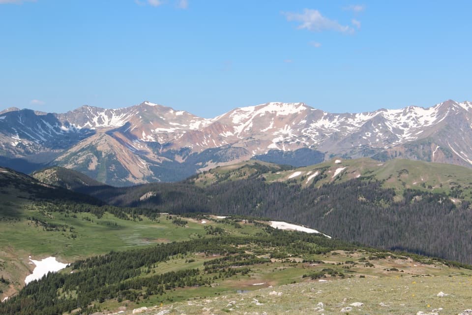 21Gore Range OverlookCatch the Never Summer skyline without adding a hike.
 22The LochAfter a real climb, alpine peaks mirror across the lake.
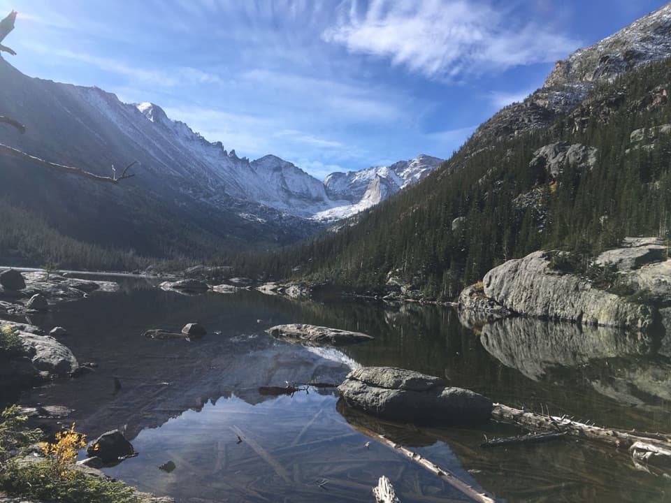 23Mills LakeA ten-acre glacier-carved lake beneath the peaks of Glacier Gorge.
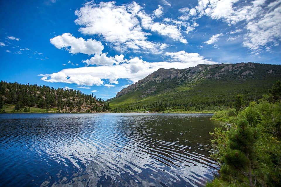 24Lily LakeA mostly level lake loop with Longs Peak across the water.
 25Farview Curve OverlookThe Grand Ditch cuts a pencil line across the Never Summer Range.
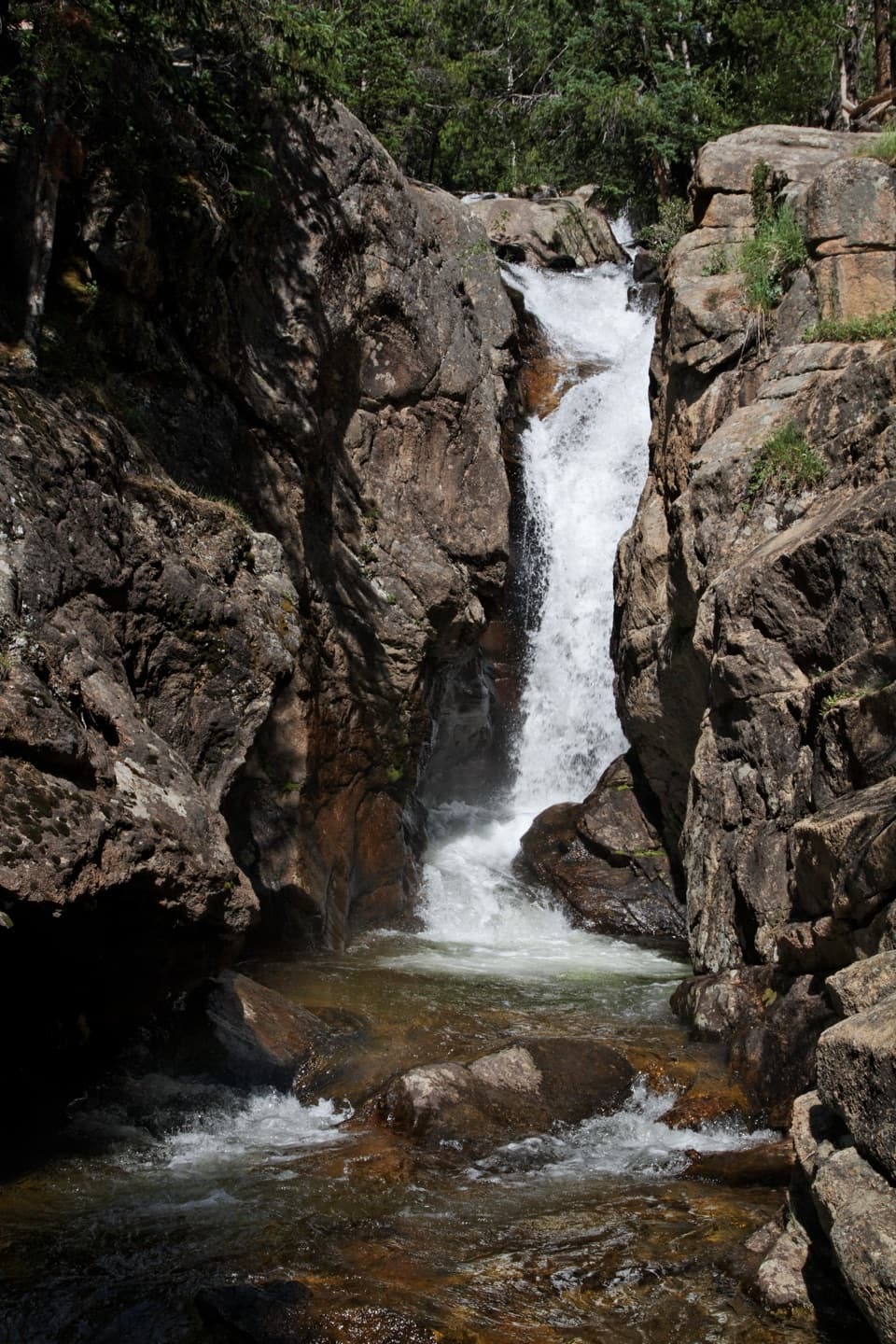 26Chasm FallsA short walk to a waterfall tucked into a granite cleft.
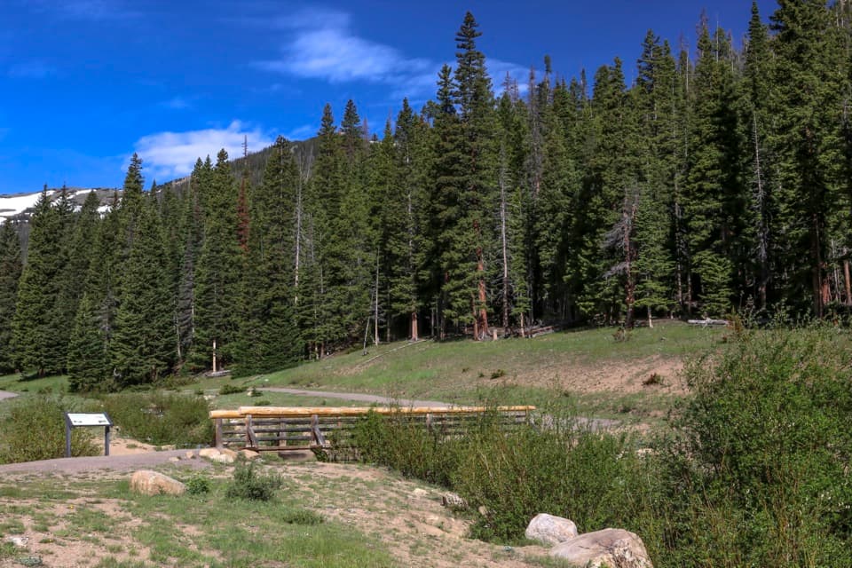 27Hidden ValleyEasy sled runs on a former ski hill, plus a creekside walk.
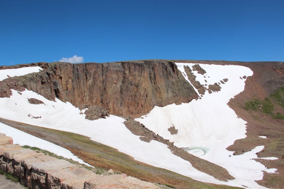 28Lava Cliffs OverlookA rare lava exposure beside Trail Ridge Road.
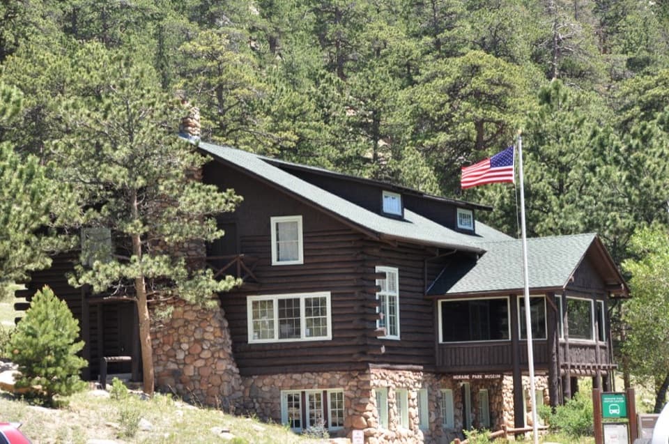 Moraine Park Discovery CenterA former lodge with hands-on exhibits above Moraine Park.
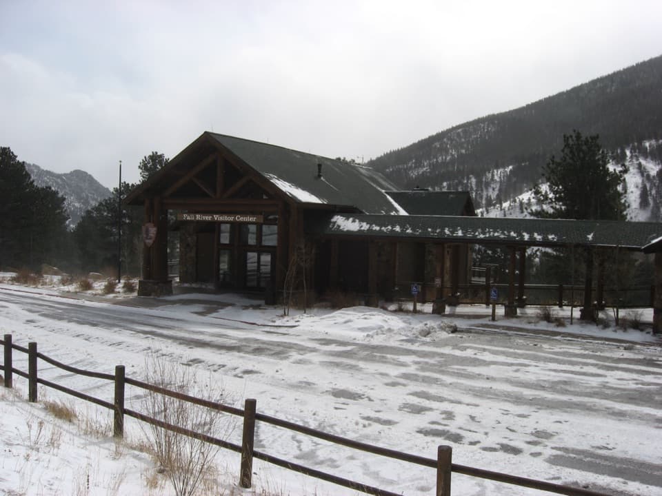 Fall River Visitor CenterGet hike and road advice before you enter the park.
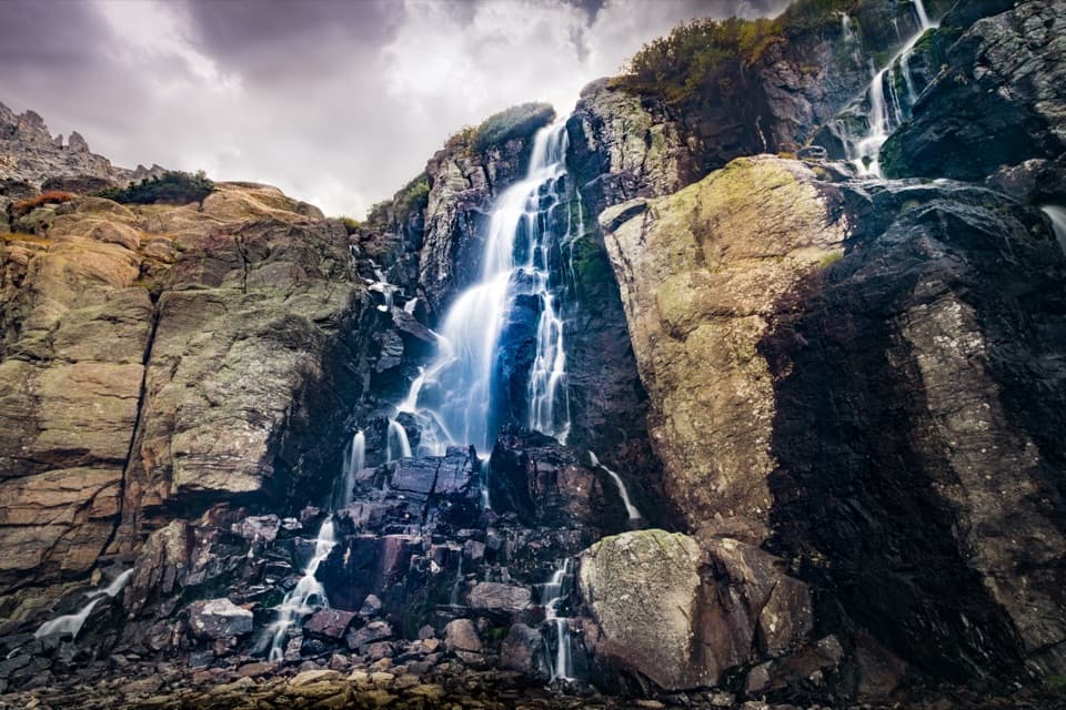 29Timberline FallsA 100-foot waterfall above The Loch, after a hard climb.
 30West Horseshoe Park PulloutA quick stop for meadow views beneath the Mummy Range.
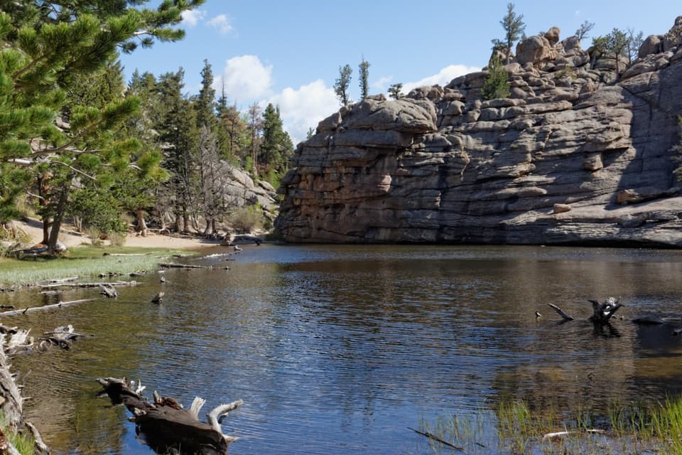 31Gem LakeA small granite-ringed lake worth the sustained uphill climb.
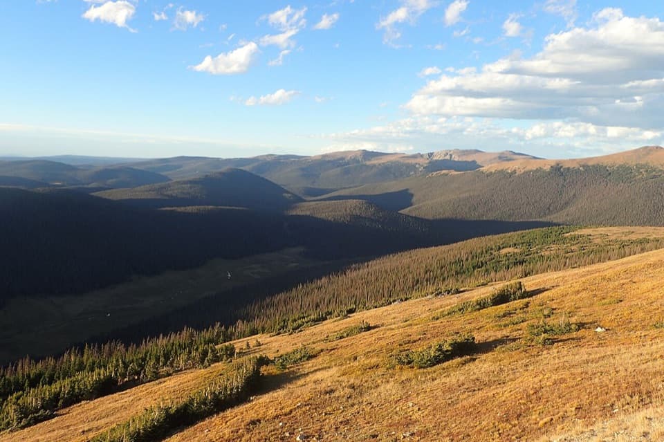 32Medicine Bow CurveFollow the Cache la Poudre valley toward Wyoming’s mountains.
 33Black LakeFive miles in for an alpine lake beneath a jagged granite wall.
 34Bierstadt LakeMountain reflections reward the steep walk in.
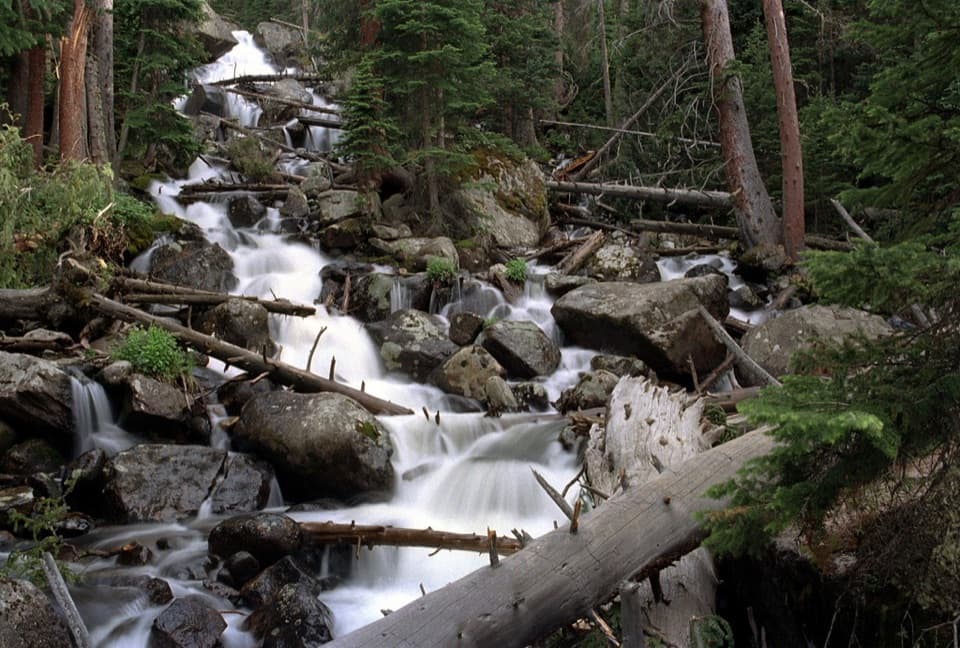 35Calypso CascadesSpring runoff turns this boulder-and-log waterfall into a roar.
 36Odessa LakeA high alpine lake worth the long hike.
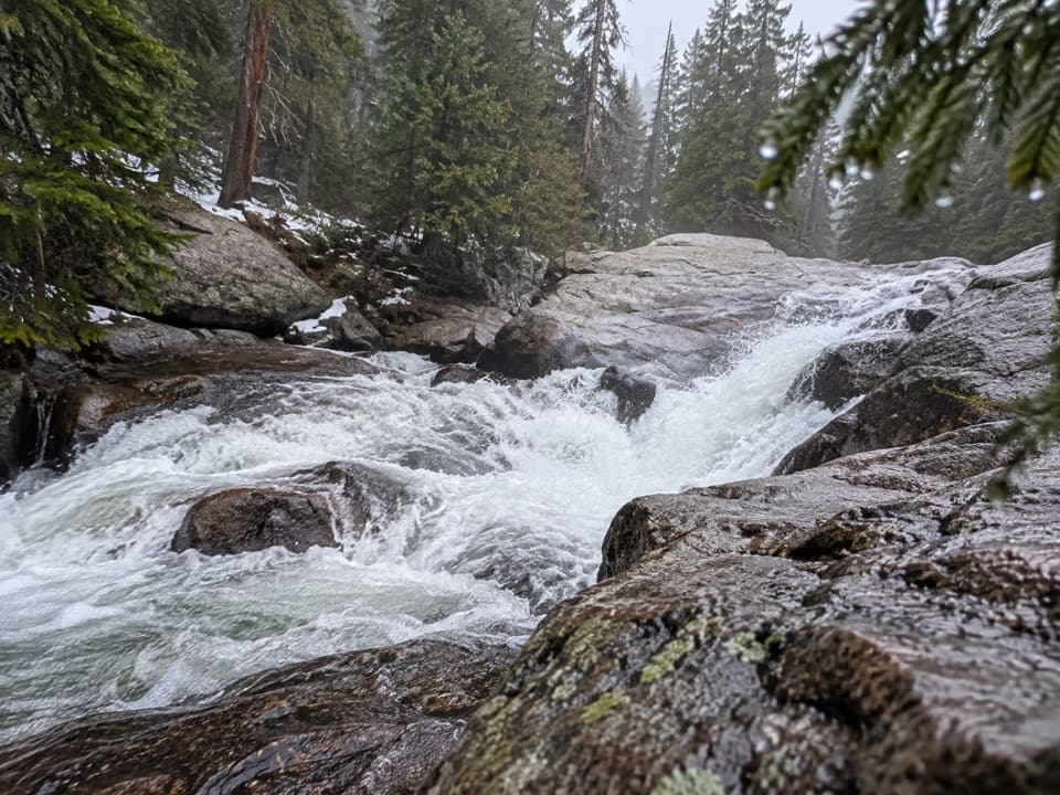 37Cascade FallsA seven-mile walk brings you to a close-up granite waterfall.
 38Nymph LakeA short uphill walk to summer lily pads and mountain views.
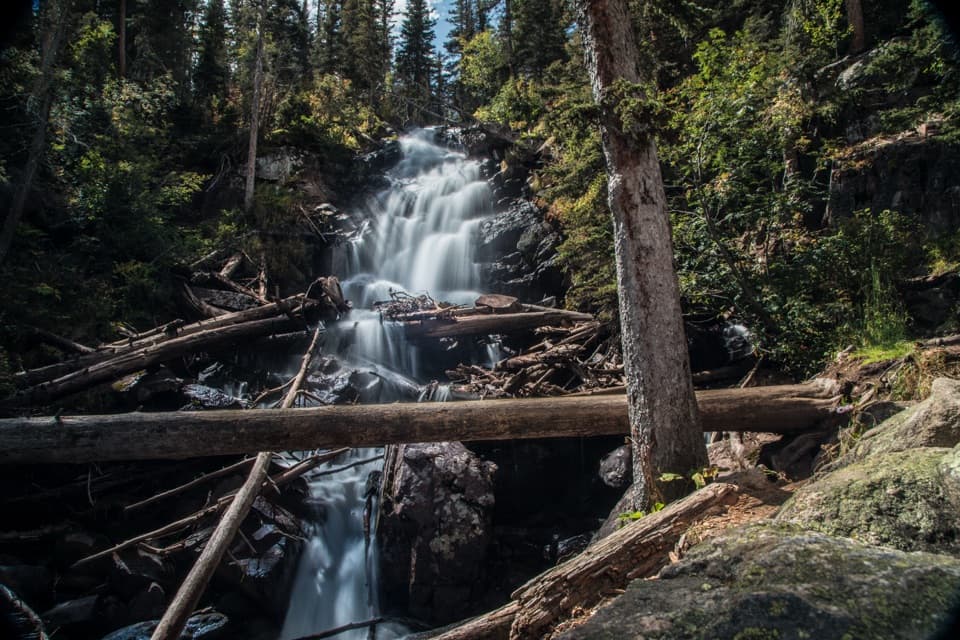 39Fern FallsA tiered waterfall marks a natural halfway goal on Fern Lake Trail.
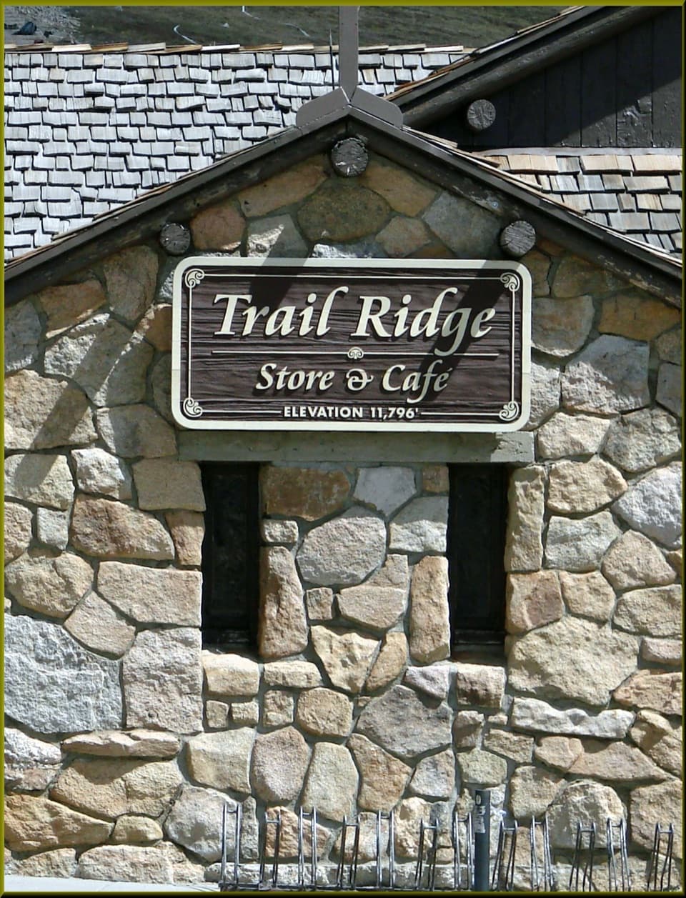 Trail Ridge Store & CaféA stone café and gift shop at Trail Ridge Road's high pass.
 40Copeland FallsTwo small cascades make a quick creekside detour in Wild Basin.
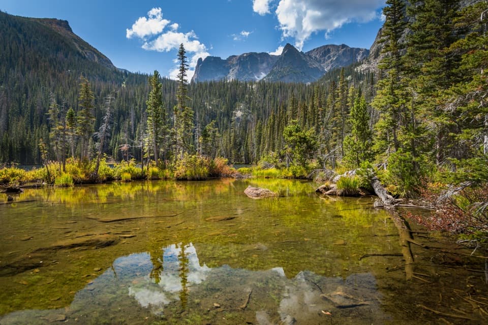 41Fern LakeA demanding hike ends at a high lake beneath three named peaks.
 42Sandbeach LakeSandy lakeshore, peak views, and a 1,970-foot climb.
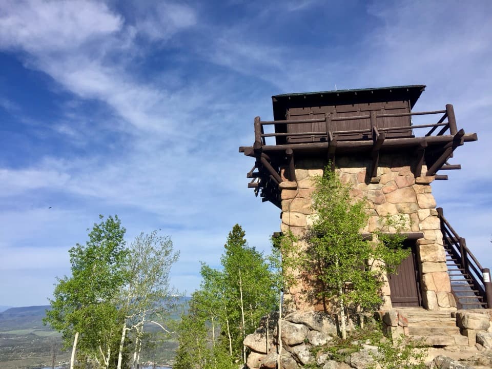 43Shadow Mountain Fire LookoutA 1930s fire lookout above three lakes, reached by a long hike.
 44Bluebird LakeA long Wild Basin climb to a high lake ringed by peaks.
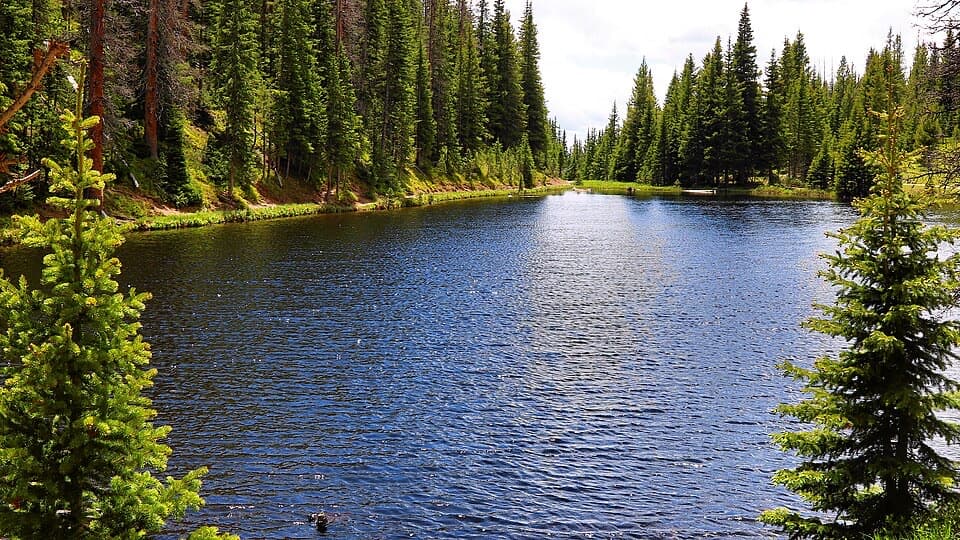 45Lake IreneA quick lakeside loop and picnic stop on Trail Ridge Road.
 46Lulu City Historic SiteA 7½-mile river walk to the park’s only platted ghost town.
 47Ouzel LakeA high lake beyond Wild Basin’s chain of waterfalls.
 48Deer MountainThe last steep steps open onto a wide Front Range panorama.
 49Thunder LakeA remote mountain lake framed by a wall of peaks.
 50Bridal Veil FallsA 20-foot waterfall beyond meadows, aspens and a steep rocky finish.
 Estes Park Visitor CenterA town-side start for local advice and the seasonal RMNP shuttle.
 51Cub LakeA lily-covered lake at the end of a varied Moraine Park hike.
 52Lake HeleneA tucked-away alpine lake beneath Notchtop’s sheer rocky wall.
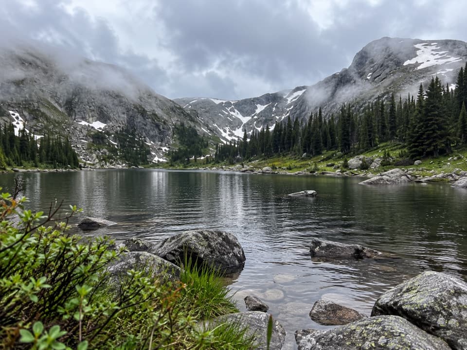 53Timber LakeA steep climb to a lake beneath two high peaks.
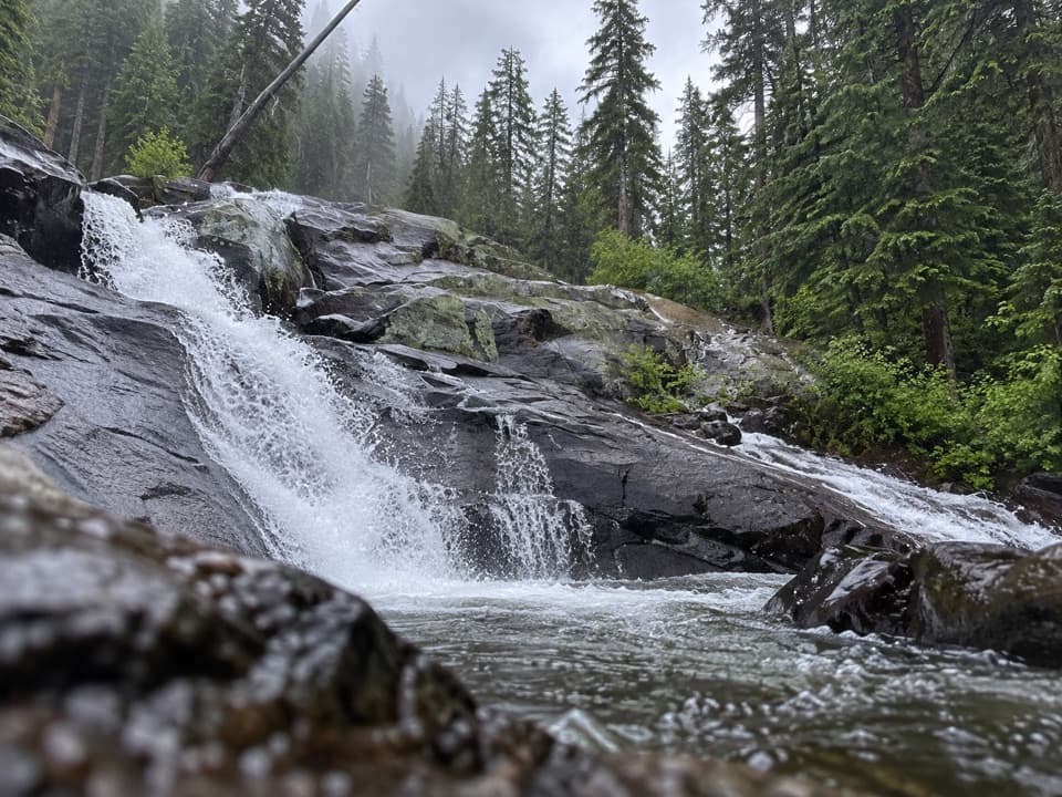 54Granite FallsA layered creek cascade, reached by a long west-side hike.
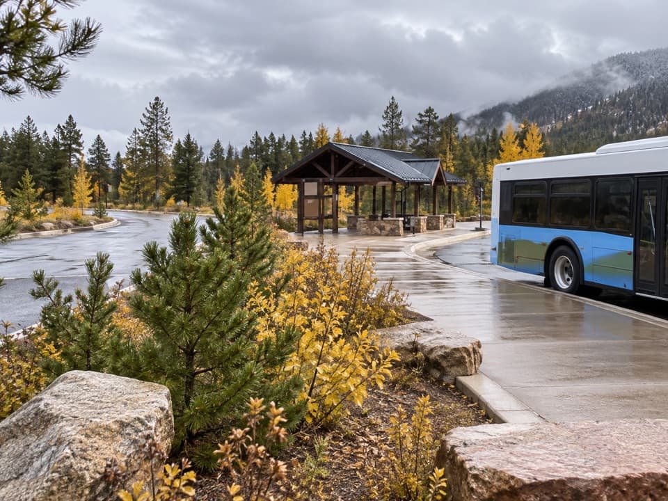 55Park & Ride Transit HubPark once for free shuttles to Bear Lake Road stops.
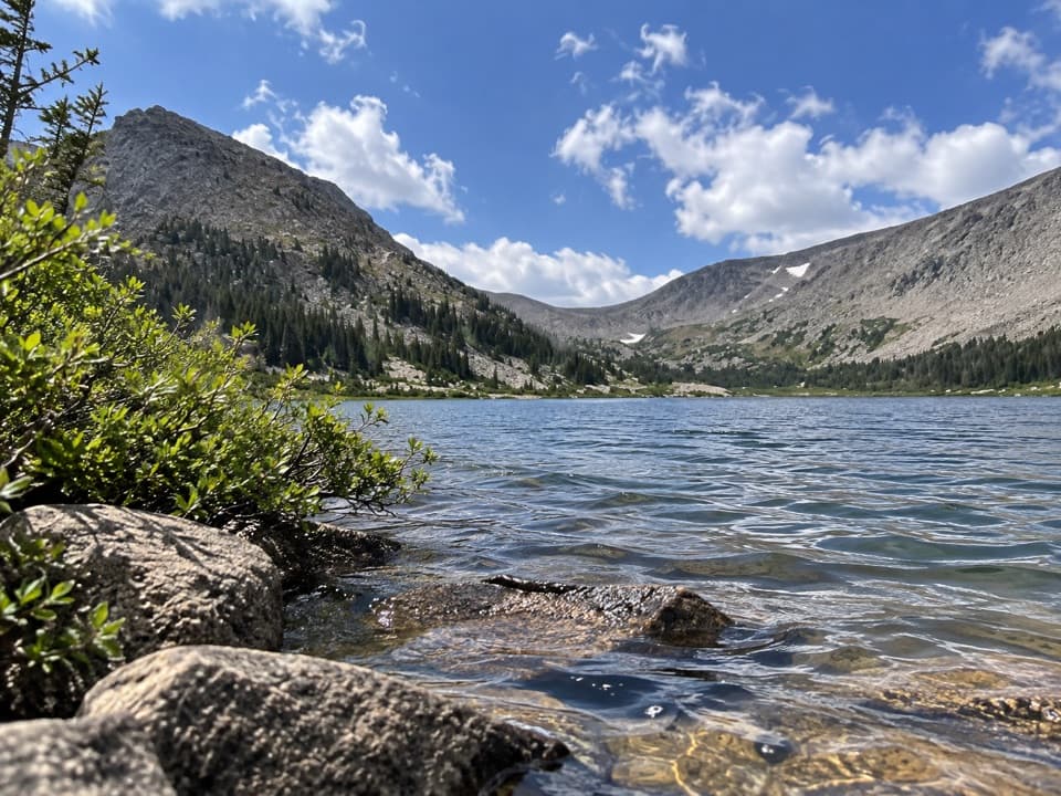 56Lawn LakeHigh alpine lake, long hike, and a sobering flood history.
 57Lake VernaSave a day for this narrow lake in the East Inlet valley.
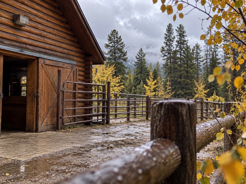 58Glacier Creek StablesThe park's lone stable pairs guided rides with mountain scenery.
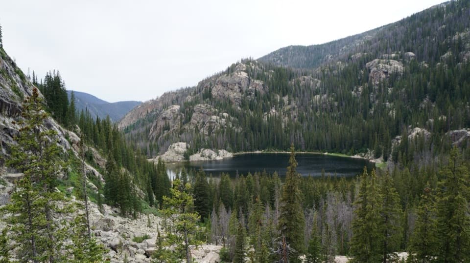 59Lone Pine LakeAn 11-mile round trip to a granite-framed backcountry lake.
 60Pear LakeA high lake two miles beyond Finch, reached on a long hike.
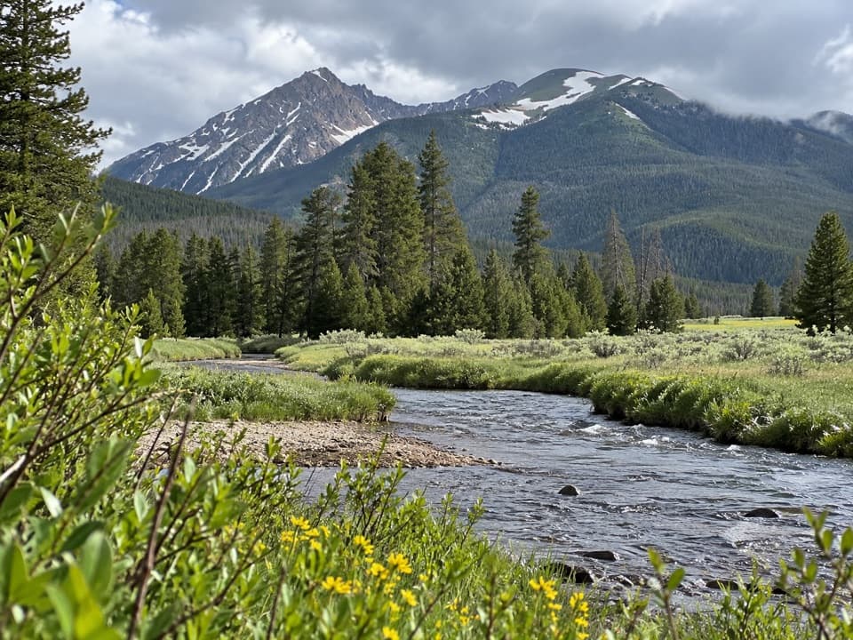 Coyote Valley Picnic AreaA riverside picnic with views of the Never Summer Mountains.
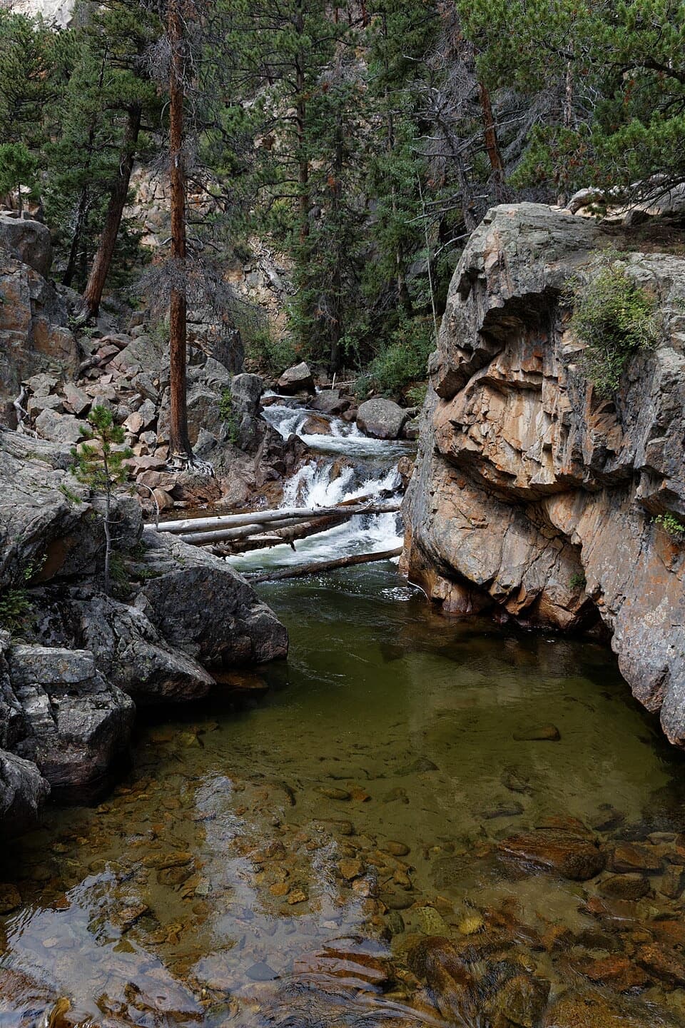 61The PoolA lively river pool makes a good shorter Fern Lake Trail turnaround.
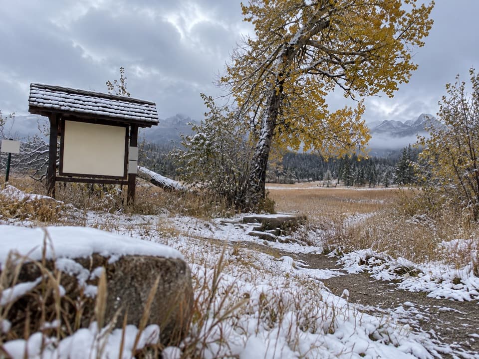 Upper Beaver Meadows Picnic AreaA quiet roadside picnic with the Continental Divide in view.
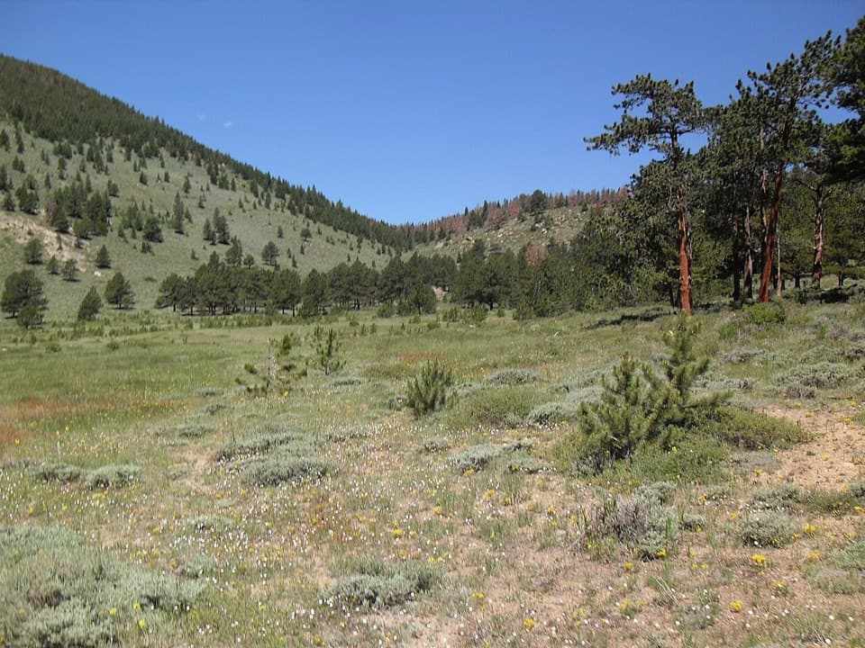 Hollowell ParkA meadow picnic with Longs Peak across the basin.
 62Finch LakeA shallow backcountry lake reached by a long Wild Basin hike.
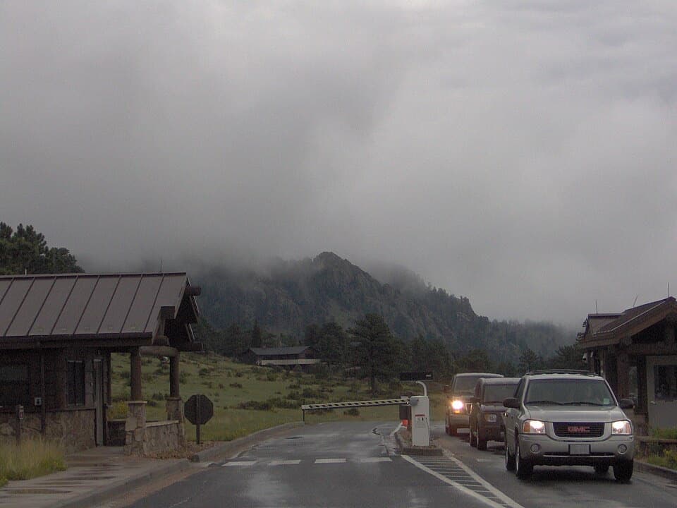 Beaver Meadows EntranceClosest entrance from Estes Park, with passes sold at the gate.
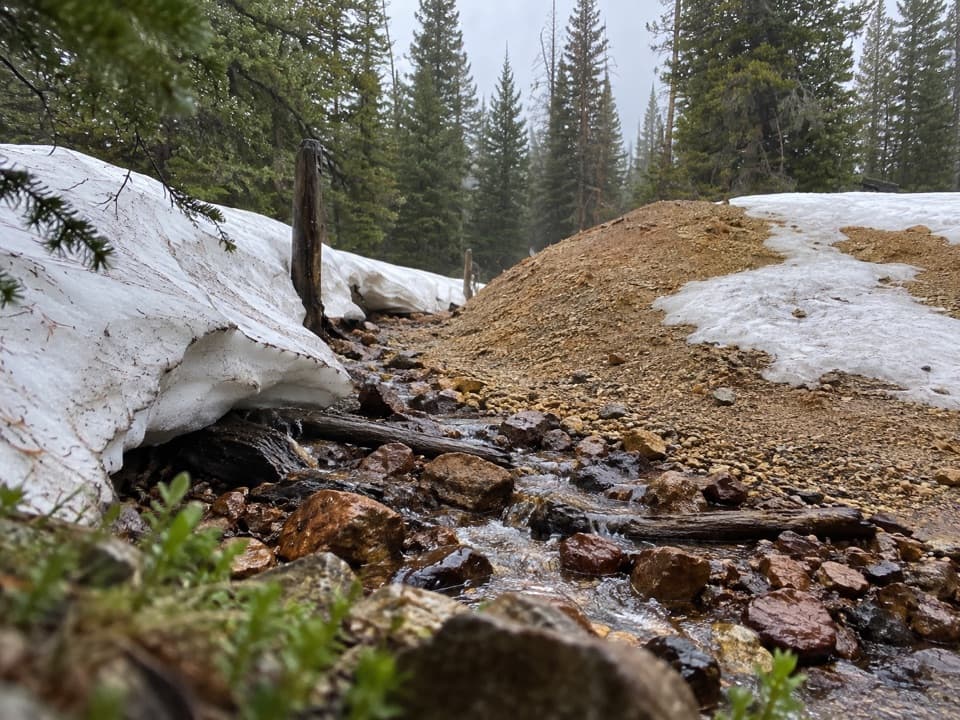 63Eugenia MineA creekside boiler, mine tailings and a family story
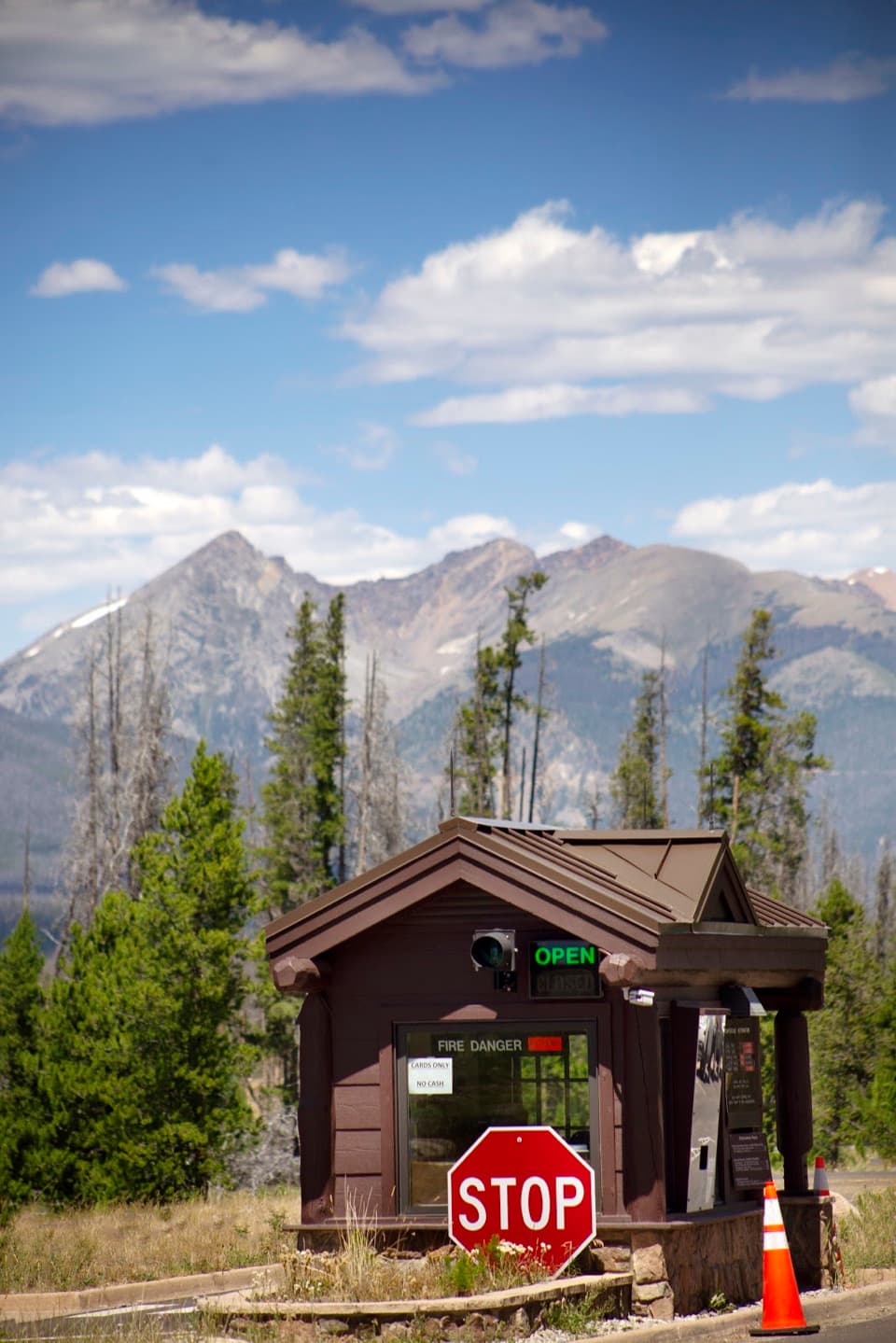 Grand Lake EntranceA practical west-side gateway close to Grand Lake.
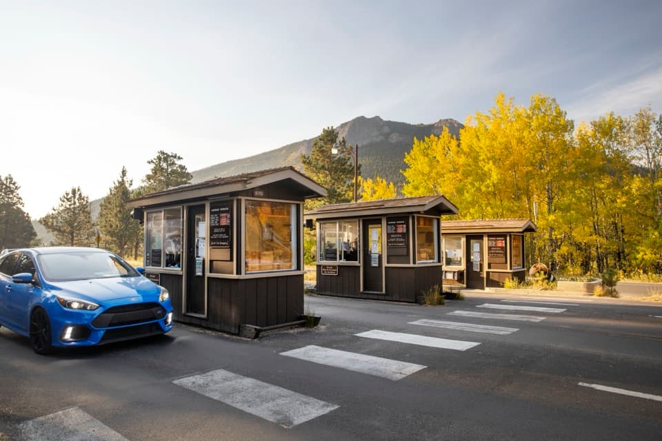 Fall River EntranceThe staffed eastern gateway to Rocky Mountain National Park.
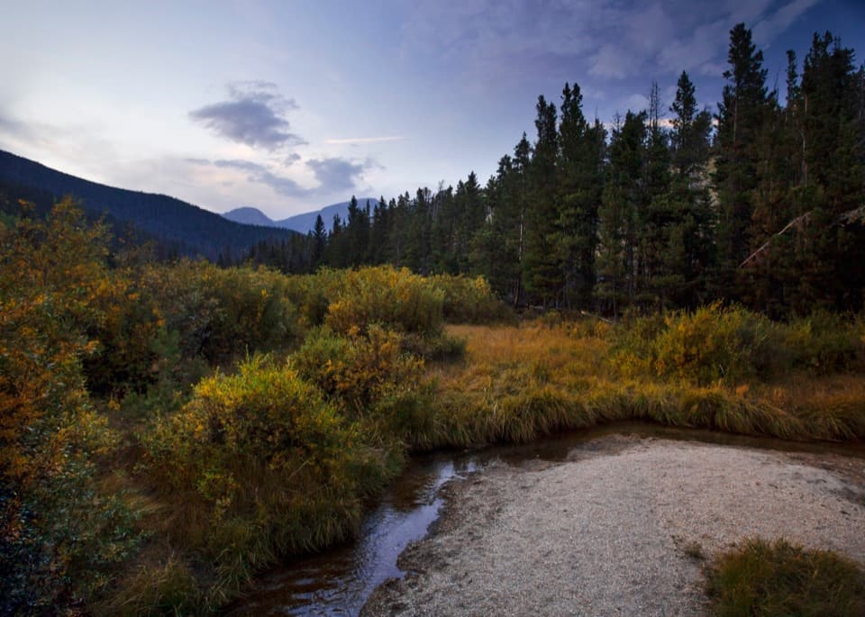 64Beaver PondsA short boardwalk into a wetland shaped by old beaver dams.
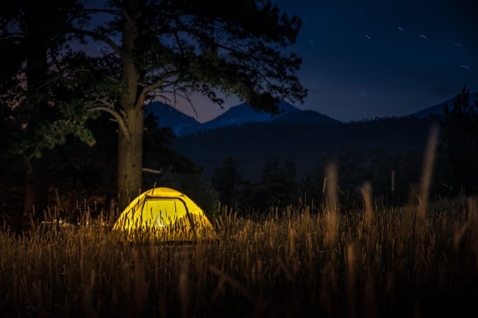 Moraine Park CampgroundElk bugles sometimes carry across camp on autumn nights.
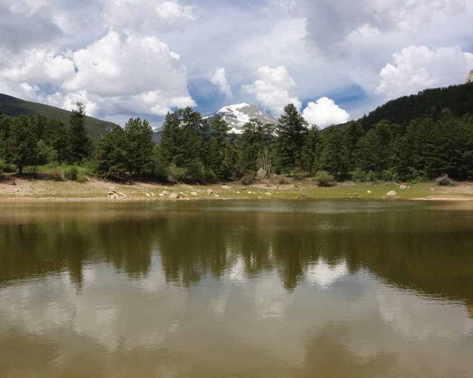 Copeland Lake Picnic AreaA lakeside picnic stop beside the Sandbeach Lake trailhead
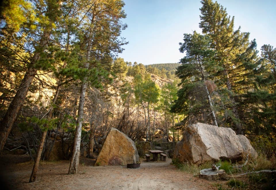 Endovalley Picnic AreaA shaded picnic loop by the river at Old Fall River Road.
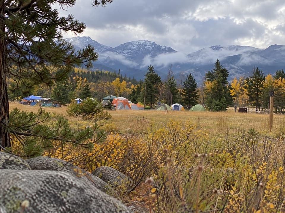 Glacier Basin CampgroundA handy base for Bear Lake corridor starts.
 Aspenglen CampgroundWooded camping near Fall River Entrance, including five walk-to sites.
 Timber Creek CampgroundWest-side camping at 8,900 feet, near Grand Lake.
 Harbison Meadows Picnic AreaSheltered picnic tables, a meadow view, and a ranching story.
 Tuxedo Park Picnic AreaA quiet creekside picnic, reached by steps from the road.
 Longs Peak CampgroundA simple tent camp for an early Longs Peak start.
 Beaver Creek Picnic AreaA quiet meadow picnic stop with autumn elk viewing.
 Beaver Ponds Picnic AreaA picnic beside two ponds, with a stairway down to the water.

The highest, rockiest slopes around here are a summer buffet for grizzly bears.
Rocky Mountain Tour Guide
Rocky Mountain, narrated.
Parkwolf is a GPS audio tour guide for Rocky Mountain National Park. As you drive, it chimes in with what’s ahead: hidden gems, upcoming stops, history, geology, and wildlife, right through your car’s speakers.
See the Rocky Mountain audio tourRecorded for this place
Bear Lake and a Shorter Mountain Walk0:00 / 0:33
“You're coming up on Bear Lake, where a short path from the parking area reaches the water beneath Hallett Peak. I'd stop even if you're not planning a hike.”
Plays as you drive up to Bear Lake in the Parkwolf Rocky Mountain Tour Guide.
More stories near here in the app
- Glacier Gorge and Alberta Falls
- Bierstadt Lake: The Climb and the Far Shore
- Storm Pass Trailhead: Boulder Brook Loop
- Sprague Lake: An Easy Shoreline Stop
- 79 audio storiesacross Rocky Mountain’s roads, triggered by GPS as you drive
- Wildlife heatmapsfor Elk, Moose, Mountain Goat, and 13 more
- Works offlinemaps, 136 trails, 88 places, and audio download before you lose signal
- CarPlay readysimple controls built for the drive
“…No cell service for majority of the day but had continuous access to the app - the maps, the tour guide as you drive is amazing. Highly recommend purchasing the subscription.”

