
All Canyonlands trails
63 trails
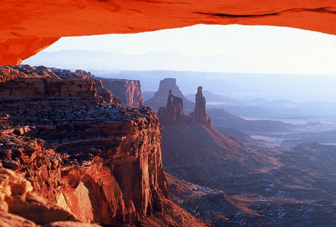
 1Mesa Arch TrailShort loop, cliff-edge arch, canyon views framed by the La Sal Mountains.
 2Chesler Park Loop and Joint TrailA spire-ringed meadow and narrow rock passages reward a full-day loop.
 3Druid Arch TrailA long canyon hike to a giant sandstone arch.
 4Grand View Point TrailA short rim walk opens up a much bigger canyon panorama.
 5Horseshoe Canyon Trail to the Great GalleryLife-sized rock art awaits after a sandy canyon walk and steep climb.
 6White Rim Overlook TrailAn easy slickrock walk to wide canyon and river views.
 7Chesler Park Viewpoint TrailA rocky climb to the pass above Chesler Park's grass and spires.
 8Upheaval Dome Overlooks TrailA short, steep climb to colorful folded rock and canyon views.
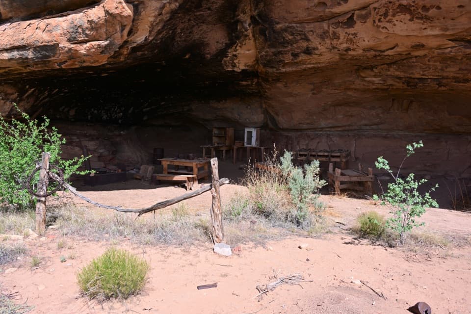 9Cave Spring TrailA short loop with a cowboy camp, spring alcove, and rock art.
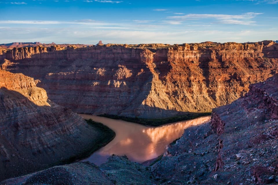 10Confluence Overlook TrailA strenuous day hike to the Green–Colorado rivers’ dramatic meeting point.
 11Murphy Point TrailOpen mesa grassland gives way to a huge Green River overlook.
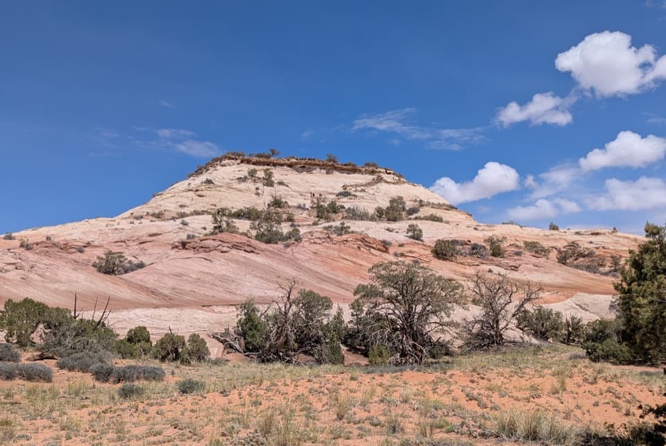 12Aztec Butte TrailTwo slickrock scrambles: one for canyon views, one for granaries.
 13Slickrock TrailFour canyon overlooks on an open slickrock loop marked with cairns.
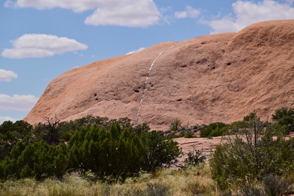 14Whale Rock TrailA short slickrock scramble to broad Island in the Sky views.
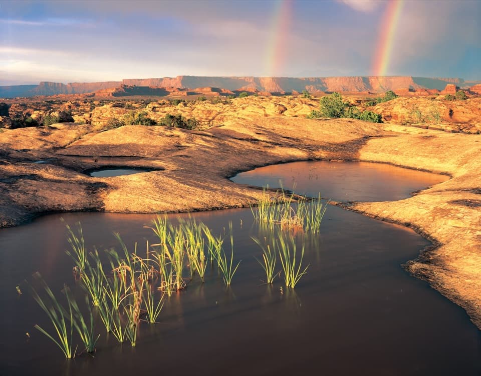 15Pothole Point TrailA short cairn-marked loop among rain-fed pothole gardens.
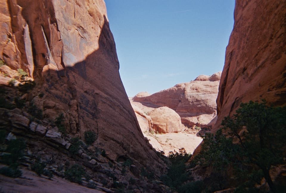 16Syncline Loop TrailA demanding loop of steep descents, sand and boulder scrambles.
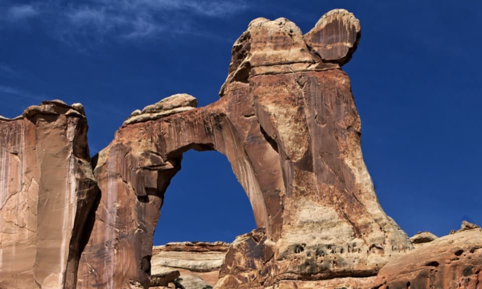 17Salt Creek Canyon TrailA high mesa drop opens onto a green canyon threaded with history.
 18Joint TrailA walk through a deep, shaded sandstone fracture.
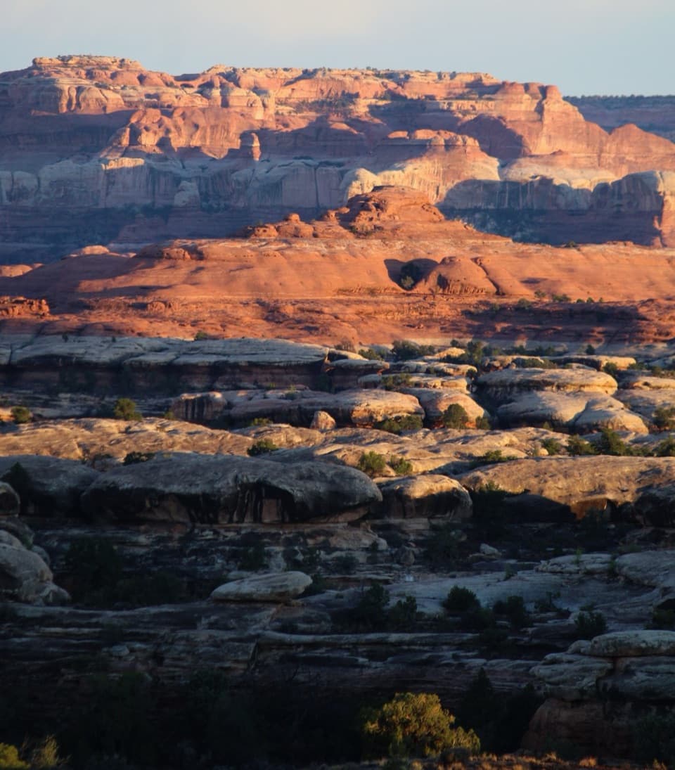 19Wooden Shoe Canyon to Lost Canyon Loop TrailTwo canyon floors, slickrock climbs, and one ladder in a rugged loop.
 20Peekaboo TrailTwo ladders and high slickrock make this a serious Needles day hike.
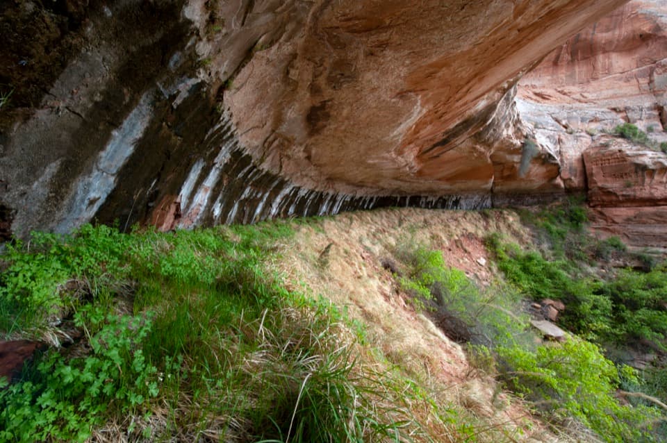 21Neck Spring TrailA 5.6-mile loop past old ranching traces and a sandstone spring.
 22Big Spring to Wooden Shoe Canyon Loop TrailTwo canyons, one high saddle, and a rougher route between them.
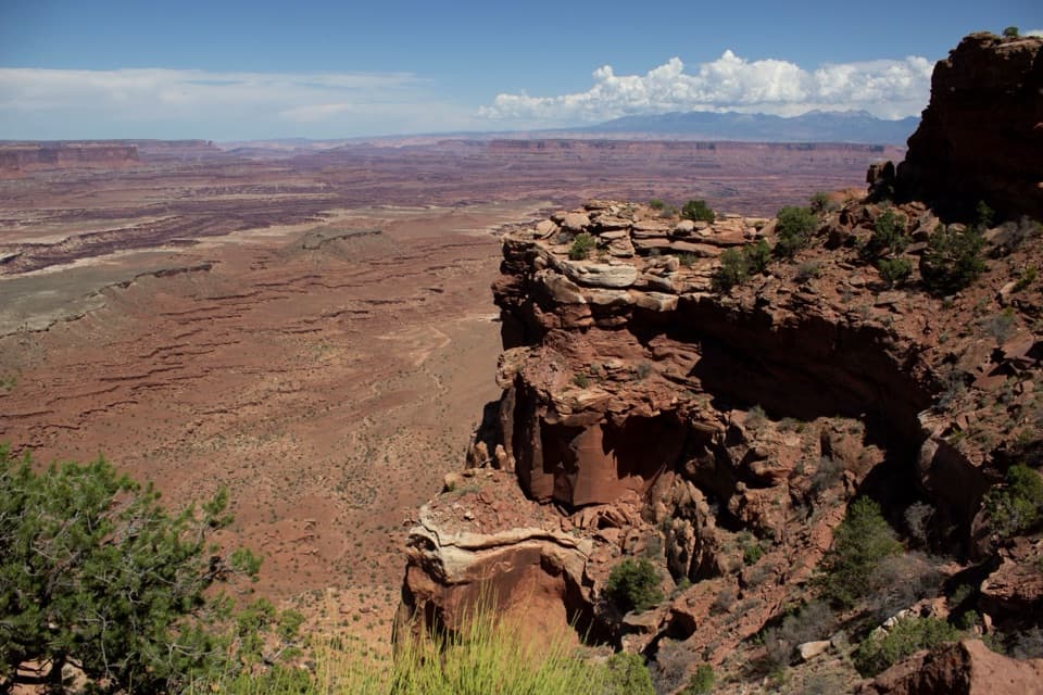 23Gooseberry Canyon TrailDrop to the White Rim, then climb 1,500 feet back up.
 24Lathrop Trail to Canyon RimFive miles across mesa grassland to a canyon rim view.
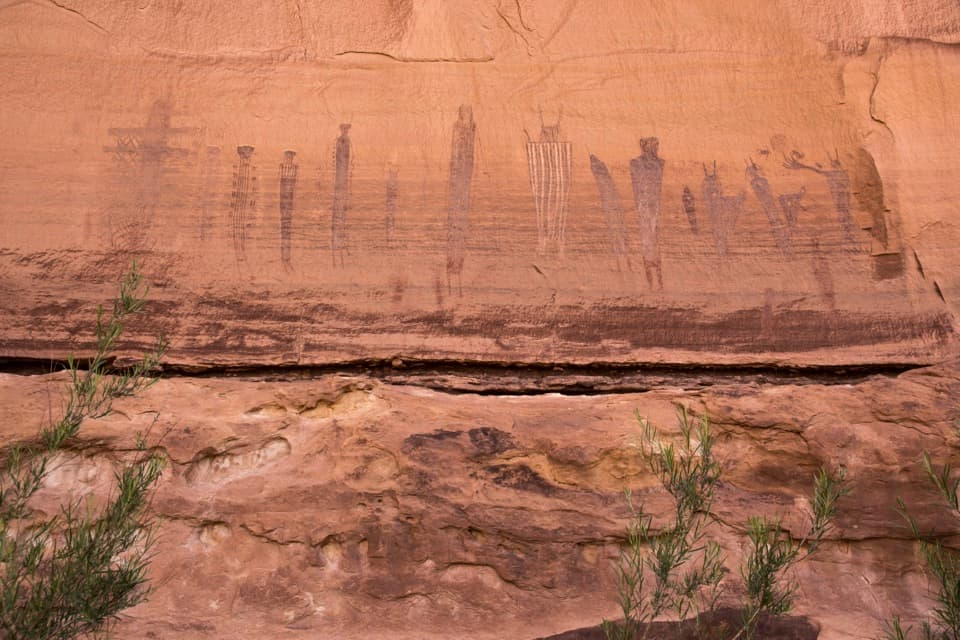 25Harvest Scene RouteA rugged loop reaches the Maze’s famous Harvest Scene pictographs.
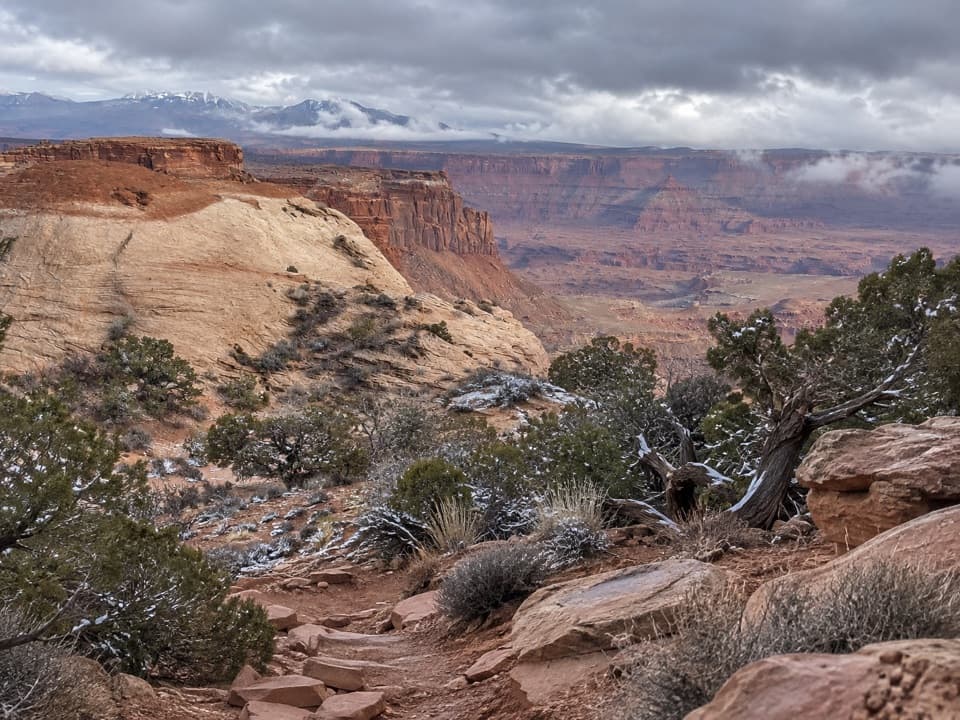 26Lathrop Trail to White Rim RoadOpen grassland gives way to slickrock and a steep canyon descent.
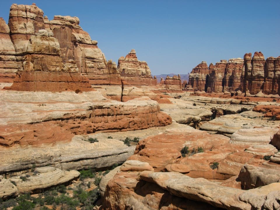 27Big Spring Canyon to Elephant Canyon Loop TrailTwo ladders cross a slickrock pass between Big Spring and Elephant.
 28Murphy Loop TrailLeave the rim, circle the hogback, and earn the climb back.
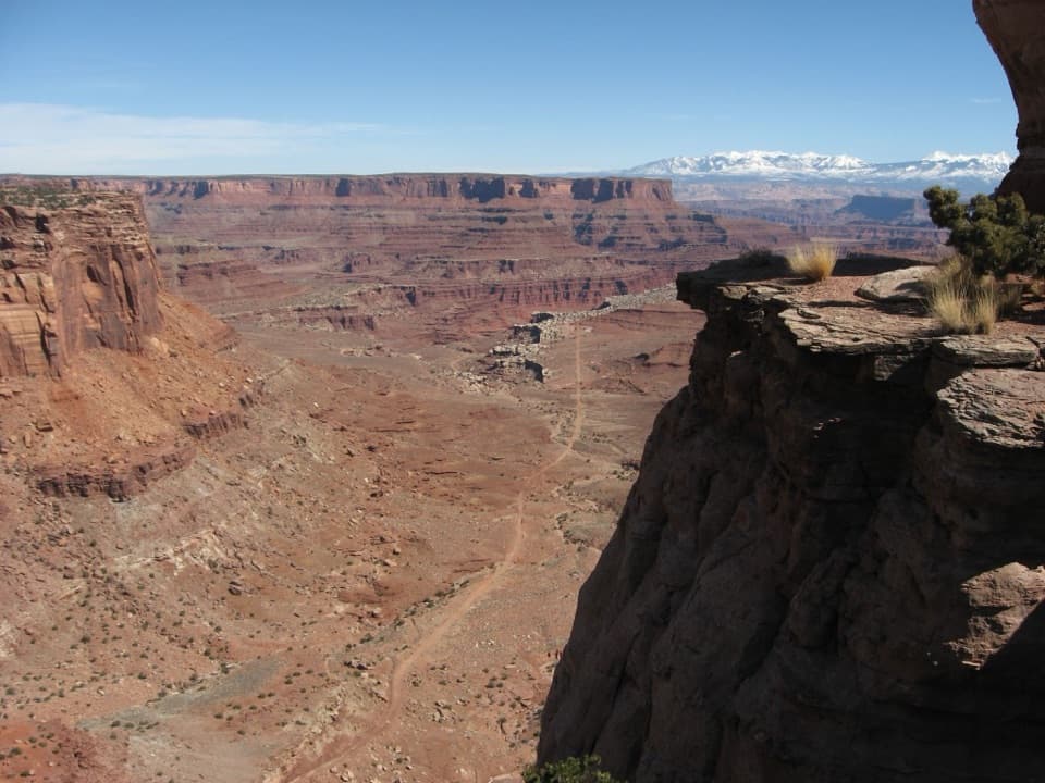 29Shafer Canyon Overlook TrailLook south for Shafer's switchbacks, then north for the La Sal peaks.
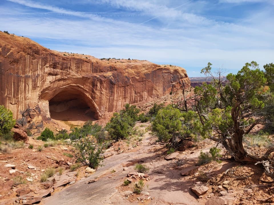 30Alcove Spring TrailFull-day canyon descent to Alcove Spring and Moses and Zeus towers.
 31Fort Bottom TrailA narrow mesa walk to an ancient tower above the Green River.
 32Colorado and Green River Overlook TrailBeehive Arch and two river views reward a long Maze approach.
 33Stone Storehouse TrailA short loop to an Indigenous storehouse beneath a sandstone alcove.
 34Maze Overlook TrailA cairned scramble from Maze Overlook into South Fork Horse Canyon.
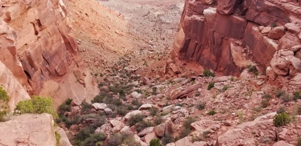 35Wilhite TrailStrenuous 11.4-mile out-and-back to White Rim Road through Holeman Basin.
 36Spanish Bottom TrailSteep river climb to the Doll House, with fossils in the rock.
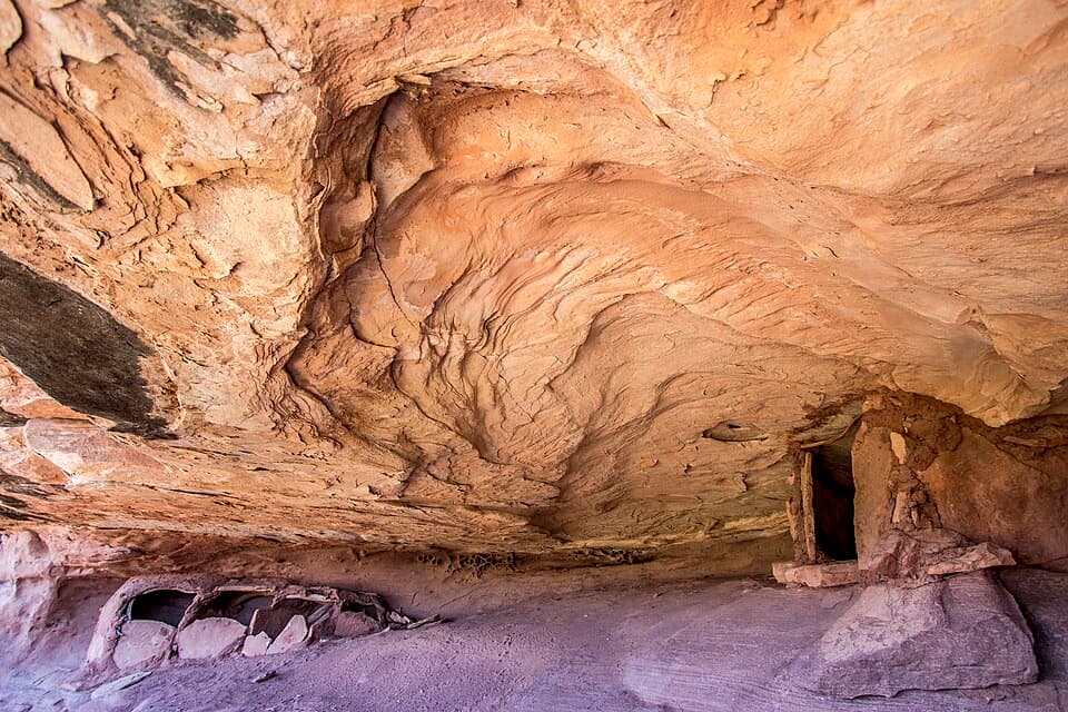 37Granary TrailA tight sandstone squeeze, an alcove granary and Colorado River views.
 38Chocolate Drops TrailCairned slickrock to four sandstone sentinels deep in The Maze.
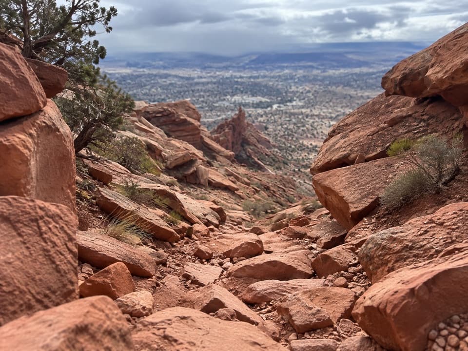 39Golden Stairs TrailA historic livestock trail down exposed sandstone into the Maze.
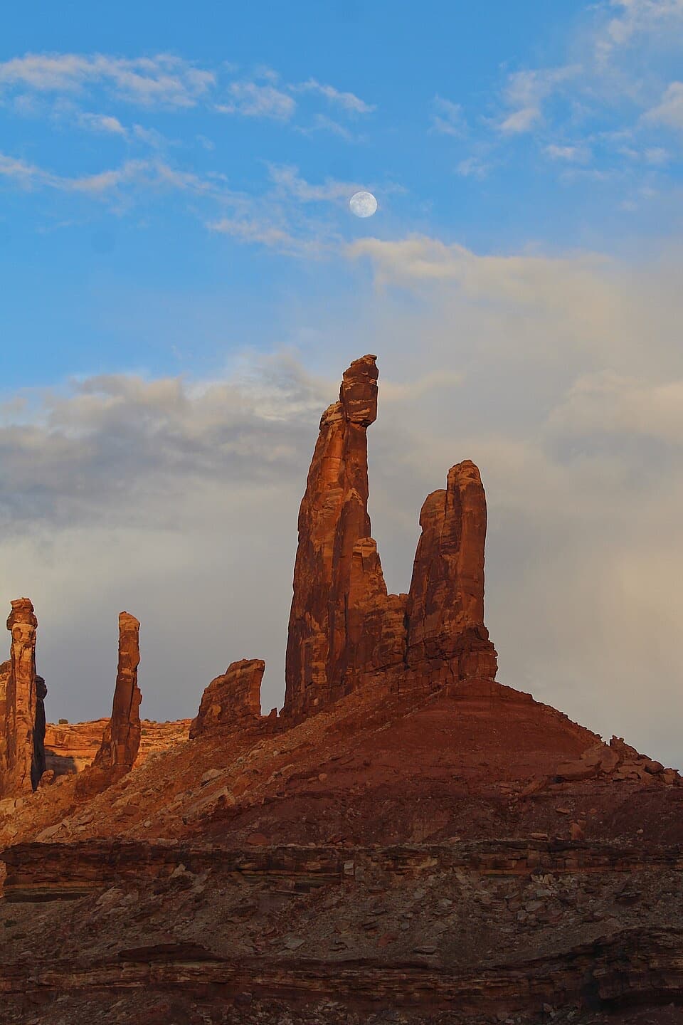 40Moses and Zeus TrailTwo sandstone towers reward a short, rough hike into Taylor Canyon.
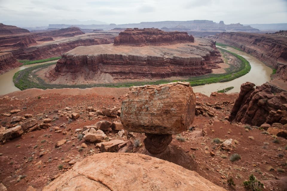 41Gooseneck Overlook TrailA short walk to a tight bend in the Colorado River.
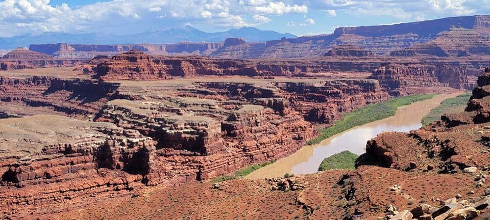 42Colorado River Overlook WalkA rough-road walk ends at an unguarded view over the Colorado River.
 43Angel Arch TrailMolar Rock and a giant arch reward a hard canyon walk.
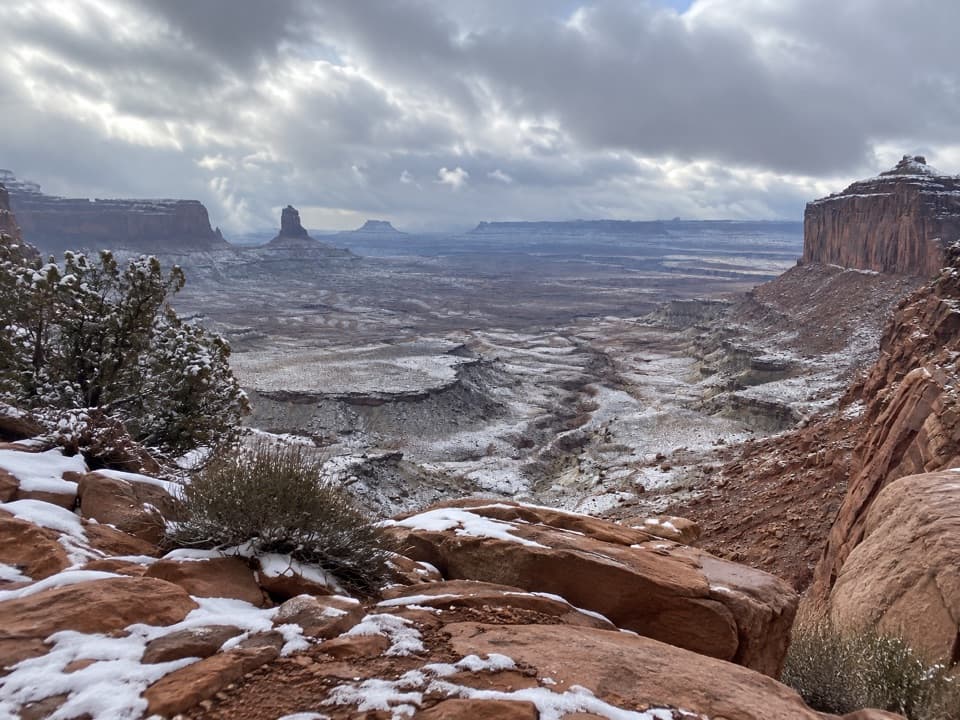 44False Kiva TrailA rough, cairned descent to wide views over Holeman Canyon.
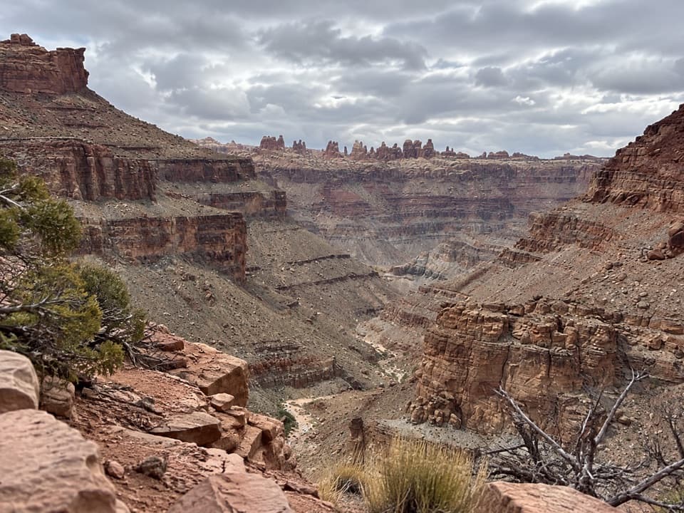 45Lower Red Lake Canyon TrailA strenuous backcountry descent to the Colorado and back
 46Shot Canyon RouteCairns lead from Chimney Rock into Shot Canyon's broad floor.
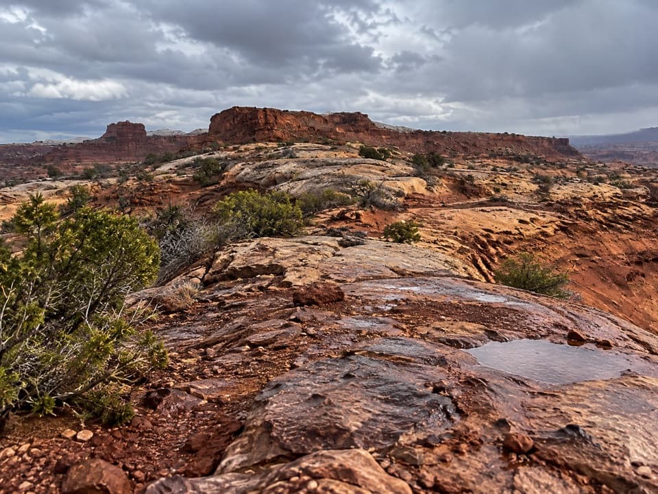 47Pete's Mesa RouteSlickrock miles with the Maze spread out below.
 48Upheaval Canyon TrailSeven miles round trip along a remote, sandy canyon wash.
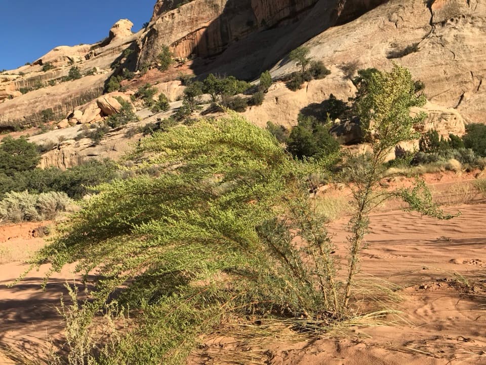 49Upper Davis Canyon TrailA sandy wash leads to arches, shaded alcoves, and rock art
 50Cyclone Canyon TrailA sandy 2.41-mile connector through a faulted canyon.
 51Upheaval Crater TrailA strenuous 9.2-mile out-and-back into Upheaval Dome's crater floor.
 52Horse Canyon Road Walk to Paul Bunyan’s PottyA sandy road walk to a sandstone arch in a canyon.
 53Fins Trail through Ernie’s CountryA remote cairned crossing through fins, sandy flats and narrow canyons.
 54North TrailA primitive descent through North Trail Canyon into Elaterite Basin.
 55Devils Kitchen to Elephant Canyon TrailA remote through-hike past red needles into Elephant Canyon.
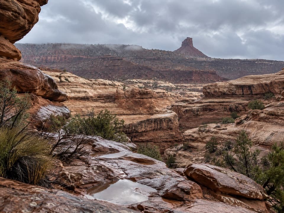 56South Fork Horse Canyon RouteA remote canyon branch for experienced Maze backpackers.
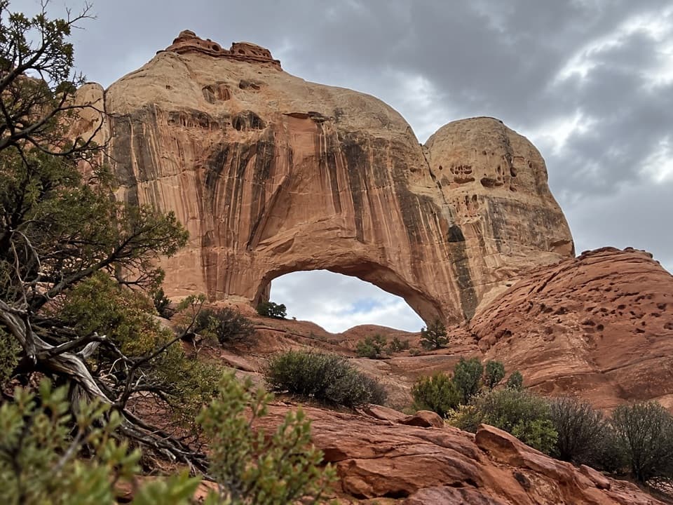 57Fortress Arch TrailA short, rocky climb to a tucked-away sandstone arch.
 58Chimney Rock RouteA steep old stock route drops into Pictograph Fork.
 59Horse Canyon Trail (The Maze)Cairns lead down to a sandy canyon in the remote Maze.
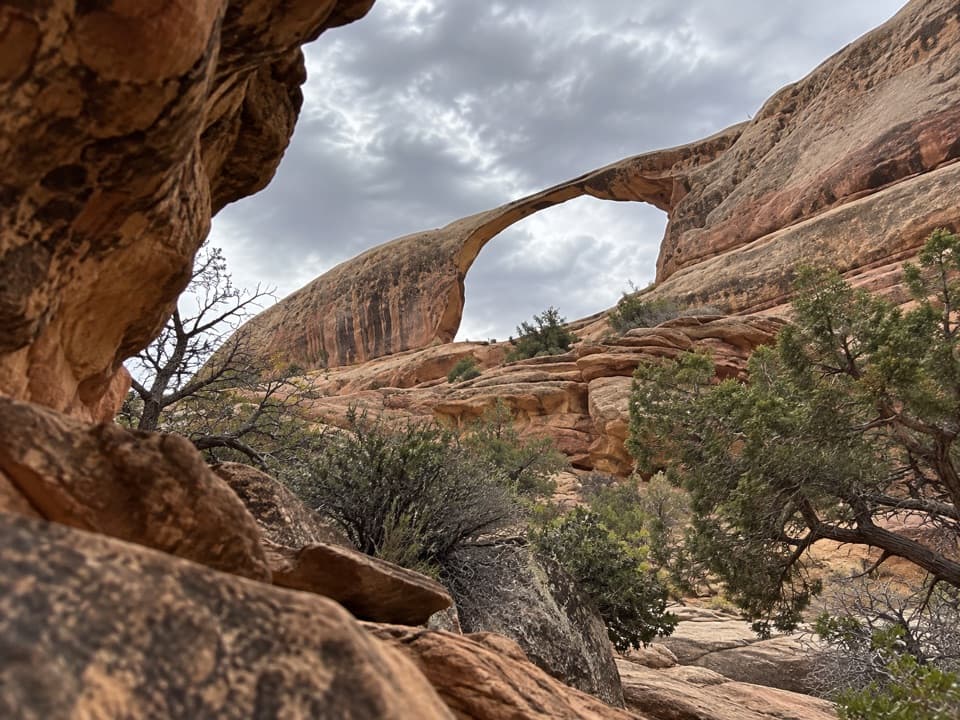 60Castle Arch TrailA short arch walk beyond a permit-required 4WD road.
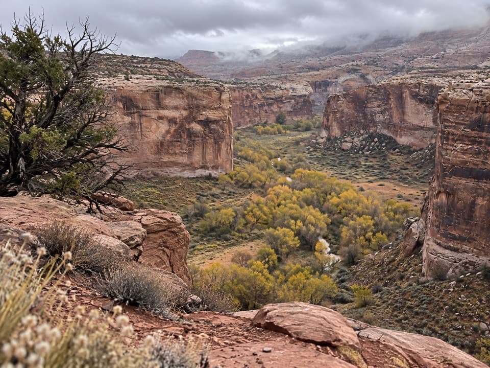 61Deadman’s TrailA steep east-rim descent to Horseshoe Canyon’s floor.
 62American Discovery Trail (Canyonlands Passage)A remote, one-way 19.8-mile road walk through The Needles.
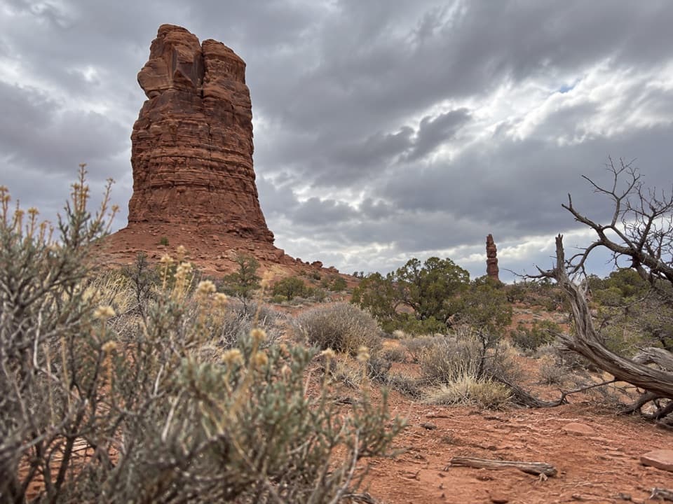 63The Plug RouteA hard one-way 3.9-mile connector from The Plug to Pictograph Fork.

The highest, rockiest slopes around here are a summer buffet for grizzly bears.
Canyonlands Tour Guide
Canyonlands, narrated.
Parkwolf is a GPS audio tour guide for Canyonlands National Park. As you drive, it chimes in with what’s ahead: hidden gems, upcoming stops, history, geology, and wildlife, right through your car’s speakers.
See the Canyonlands audio tourRecorded for this place
Mesa Arch0:00 / 0:30
“You're coming up on Mesa Arch, where a low sandstone opening frames the canyon and the distant La Sal Mountains. Keep this stop even if you missed sunrise.”
Plays as you drive up to Mesa Arch in the Parkwolf Canyonlands Tour Guide.
More stories near here in the app
- The Sheep That Rebuilt Other Herds
- Candlestick Tower Overlook
- Aztec Butte Granaries
- Willow Flat Campground
- 43 audio storiesacross Canyonlands’s roads, triggered by GPS as you drive
- Wildlife heatmapsfor Bighorn Sheep, Mule Deer, Coyote, and 13 more
- Works offlinemaps, 63 trails, 65 places, and audio download before you lose signal
- CarPlay readysimple controls built for the drive
“Fantastic app with many points of information… It’s great to just turn on while you’re driving and it gives you an audio tour of the national Park. We love it!!!!”

