
All Great Otway places
79 places
 1Cape Otway LightstationA 1848 lighthouse with coastal views and a layered maritime story.
 2Erskine FallsA fern-lined cascade rewards the steep stair descent to the rockpool.
 3Hopetoun FallsA tree-fern waterfall with about 200 stairs to the lower view.
 4Triplet FallsThree cascades and 200-year-old Mountain Ash on a rainforest loop.
 5Aire Valley RedwoodsWalk beneath towering trunks in a quiet, riverside redwood grove.
 6Lake ElizabethDrowned trees and platypus at dawn, if you wait quietly.
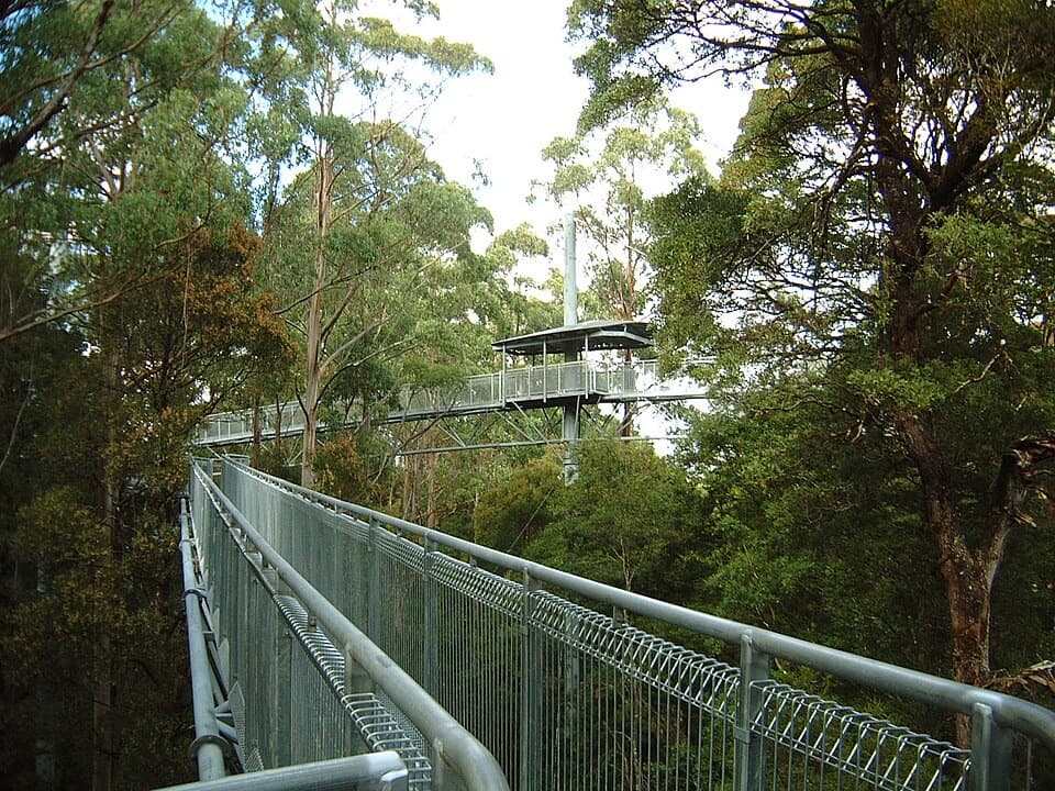 7Otway Fly Treetop AdventuresA canopy walk that climbs to a tower and a cantilever.
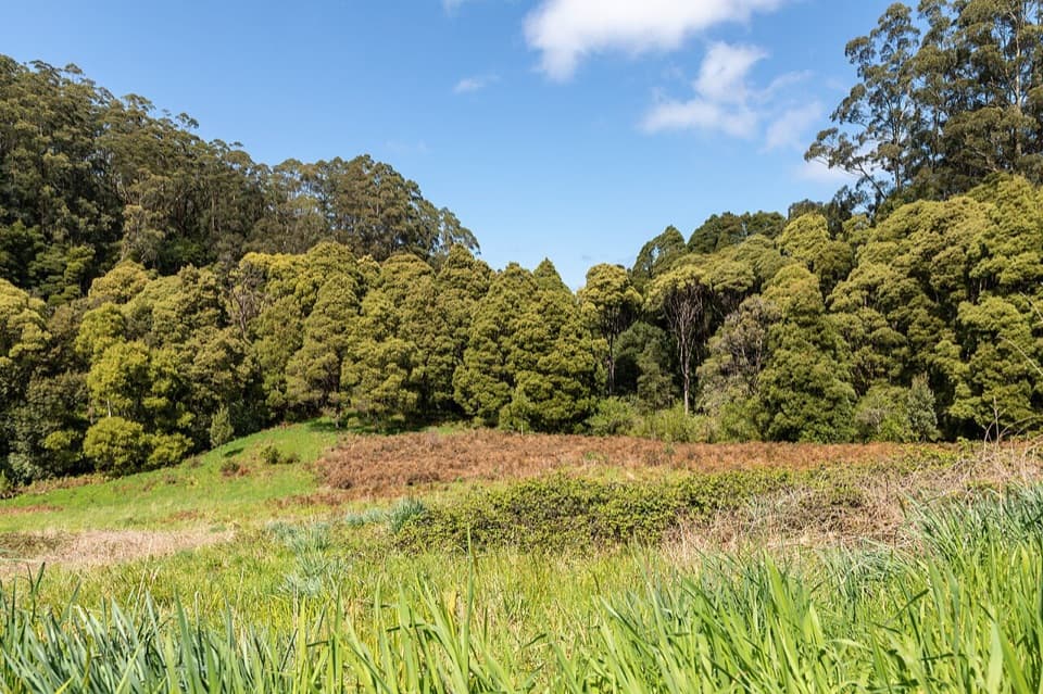 Melba Gully Day Visitor AreaA short rainforest loop doubles as a glow-worm walk after dark.
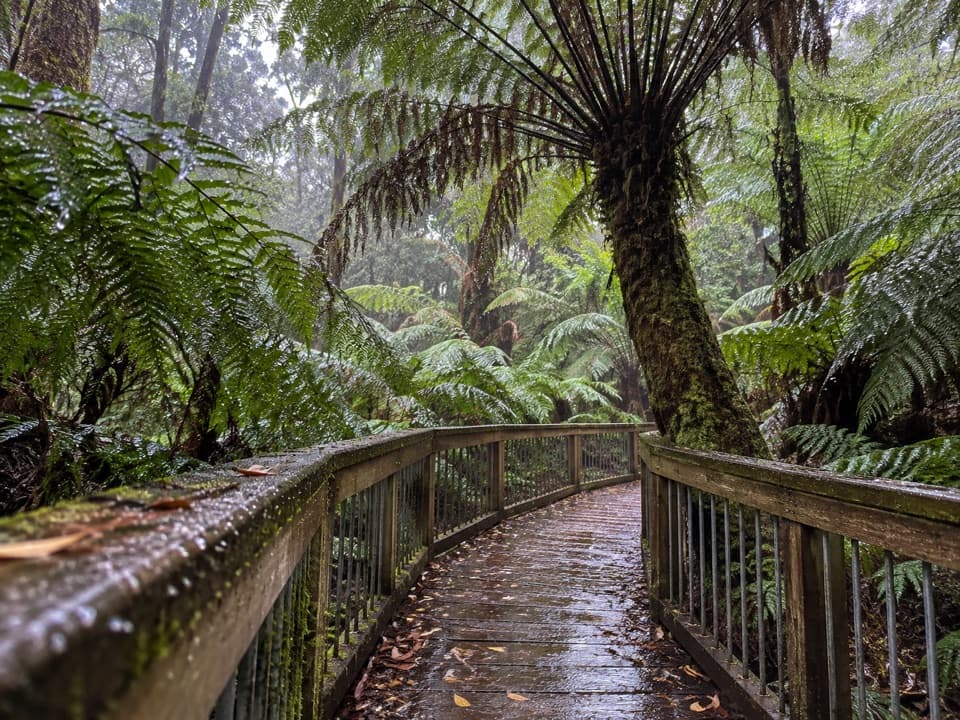 8Maits Rest Rainforest WalkA half-hour boardwalk through tree ferns and old rainforest.
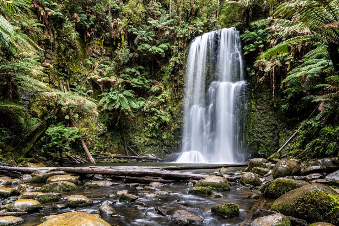
 9Beauchamp FallsA fern-framed 20-metre fall worth the uphill walk back.
 10Stevensons FallsAn easy, redwood-lined walk ends at the falls’ base.
 11Teddy's LookoutA short walk opens up the coast, river mouth and ocean.
 12Wildlife WondersA guided Otways wildlife walk through coastal bushland.
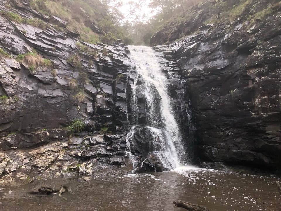 13Sheoak FallsA short, stepped walk to a waterfall that varies with the rain.
 14Castle Cove LookoutPause above the cove, then take the stairs for the beach.
 15Lower Kalimna FallsA waterfall pours from a rock ledge you can stand behind.
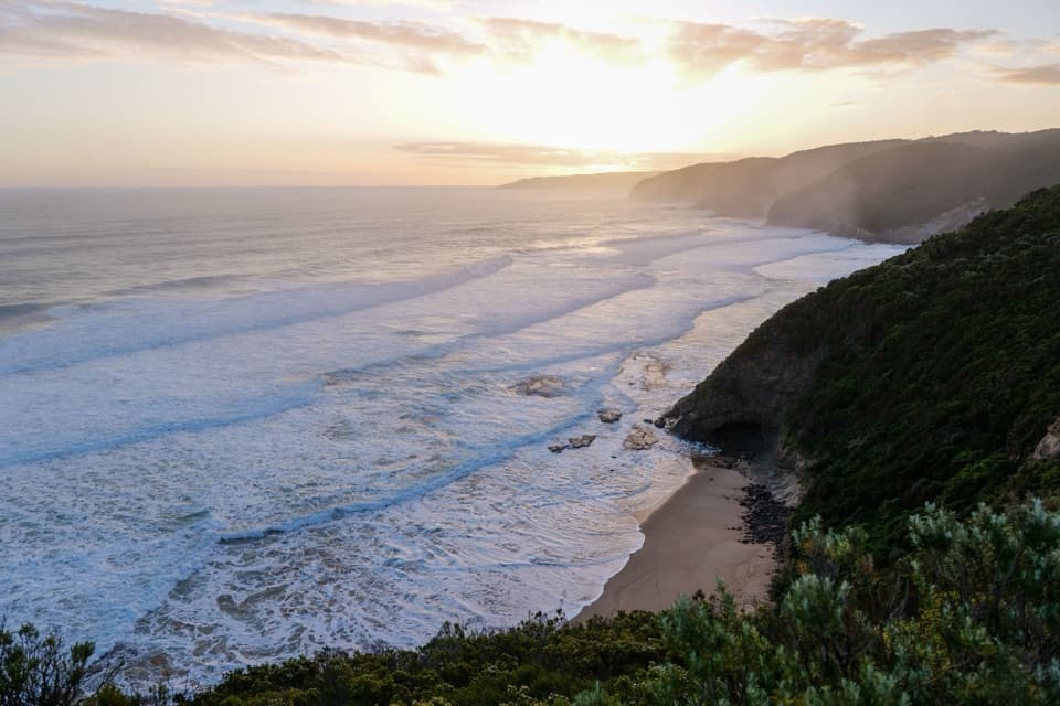 16Johanna BeachA west-facing surf coast for long views, with rips to respect.
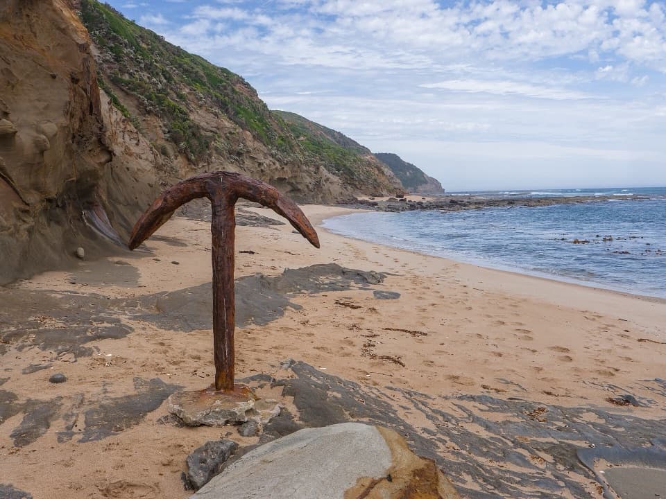 17Wreck BeachTwo wreck anchors reward the steep stairs at low tide.
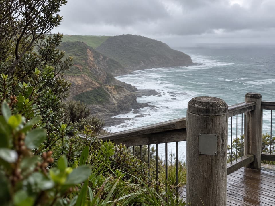 18The Gables LookoutA sheoak-lined detour to reefs and big Southern Ocean views.
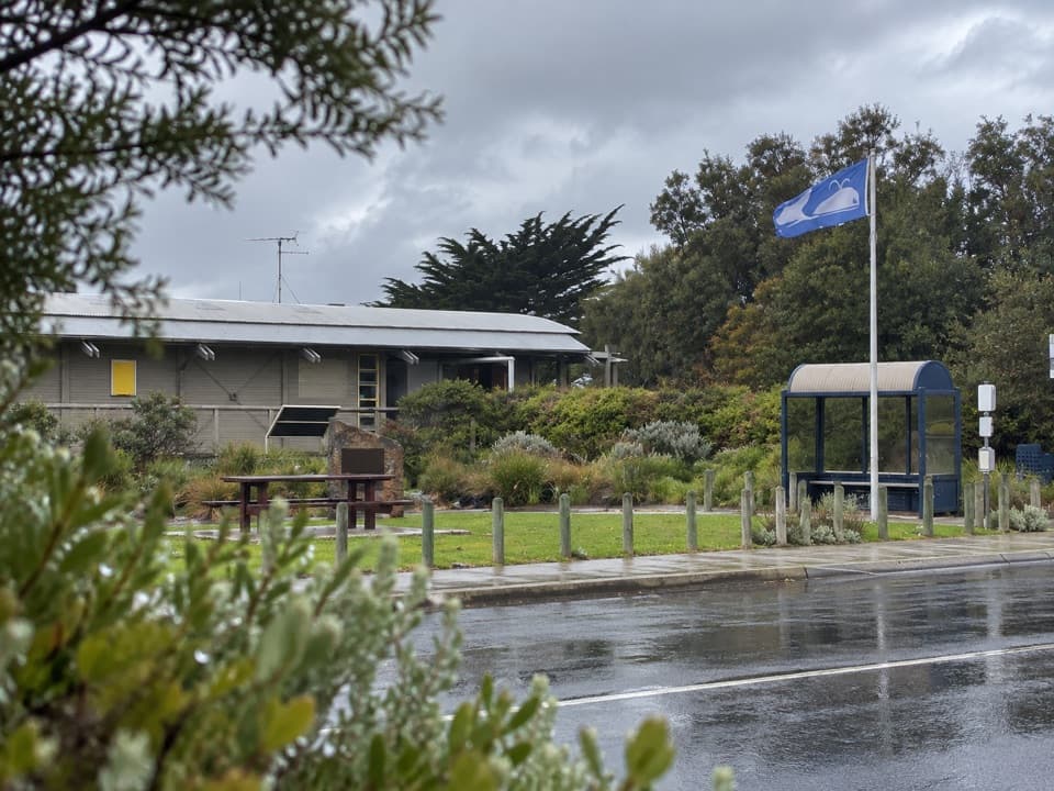 Great Ocean Road Visitor Information Centre, Apollo BaySort the Otways, tours and Great Ocean Walk before setting off.
 19Little Aire FallsA ferny rainforest walk ends above a waterfall and valley.
 20Sabine FallsA rainforest walk to three tall falls across a green valley.
 Lorne Visitor Information CentreFree waterfall guides make this a smart first Lorne stop.
 21Phantom FallsA fern-lined climb ends at a 15-metre cascade.
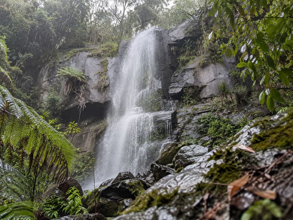 22Upper Kalimna FallsA long forest walk leads to cascades above Lower Kalimna Falls.
 23Blanket BayA sheltered cove where low tide reveals patterned rock shelves.
 24Milanesia BeachA long, tide-timed beach crossing on the Great Ocean Walk.
 25Carisbrook FallsA short climb to a long cascade across a steep gorge.
 26The CanyonEight-metre rock walls hide in a ferny waterfall walk.
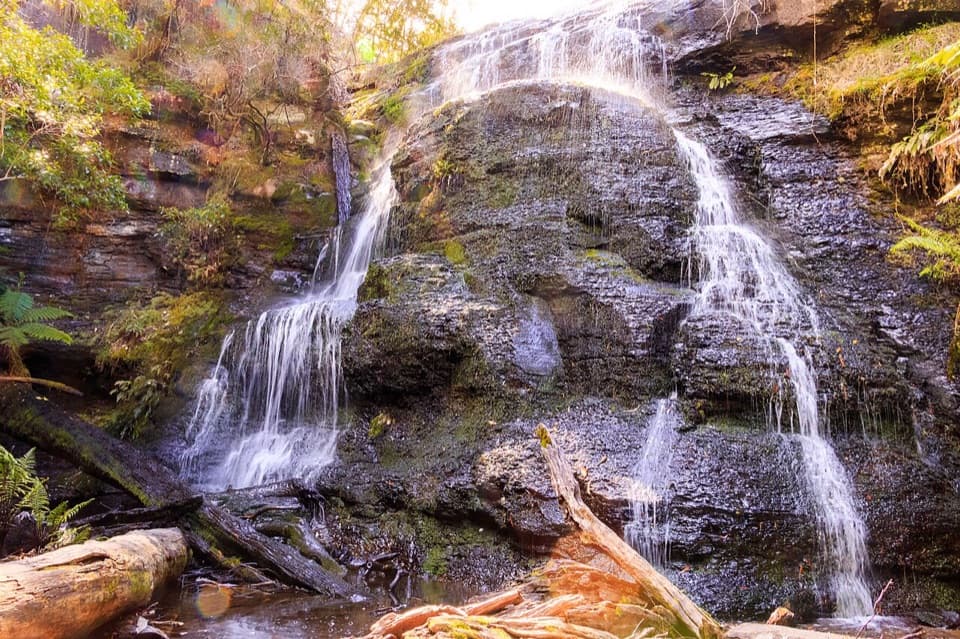 27Henderson FallsA fern-gully cascade that gains force after rain.
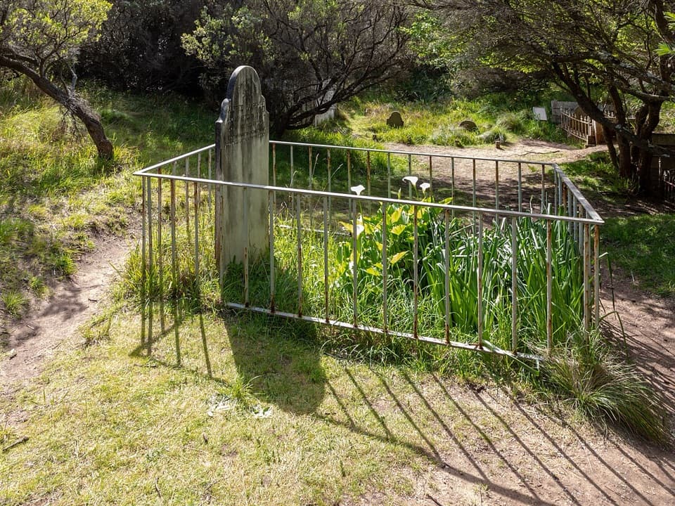 28Cape Otway CemeteryA cemetery walk puts the lightstation's isolation in view.
 29Rainbow FallsA spring-fed cascade threads an algae-streaked cliff above Station Beach.
 30Point Addis Visitor AreaA clifftop boardwalk opens up Point Addis’s limestone coast.
 Aire River Day Visitor AreaA riverside picnic stop framed by low Otway hills and wetlands.
 31Shelly BeachFern-lined walk to tide pools and a small, rugged cove.
 32Currawong FallsA long fern-gully circuit with a rain-fed waterfall.
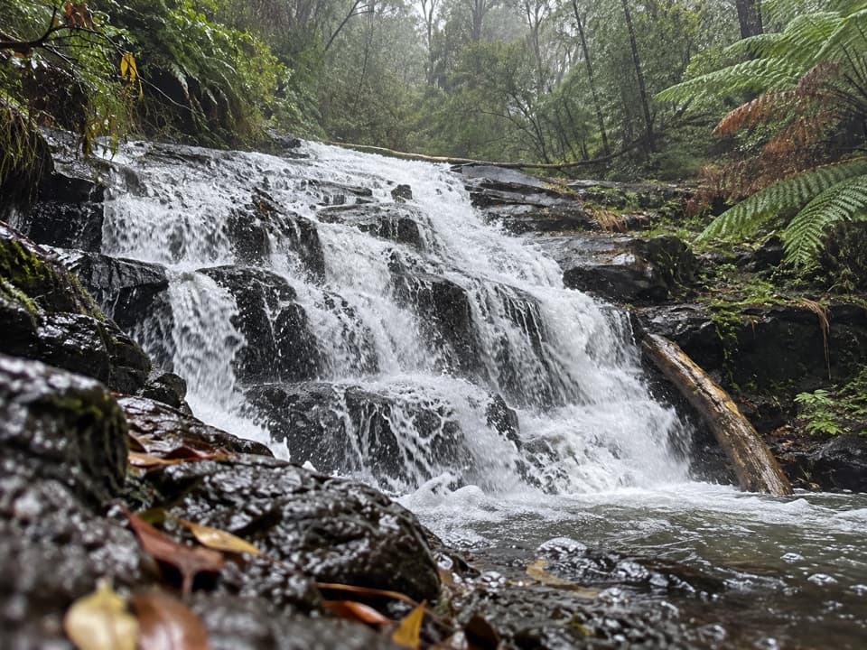 33Cora Lynn CascadesA ferny forest walk to cascades spread across dark shale.
 34Won Wondah FallsA quick, wooded waterfall pause on the way to a stronger one.
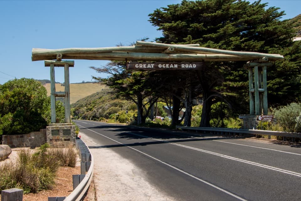 35Memorial Arch at Eastern ViewA quick roadside photo with a memorial behind the famous arch.
 36Swallow CaveA honeycombed shelter above Sheoak Creek's upper cascades.
 37Ocean View Lookout, Moggs CreekA wide coast view with a lighthouse, beach and road below.
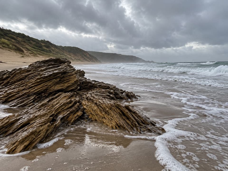 38Station BeachA wild coastal walk to a spring-fed cliff, not a swim.
 Sheoak Picnic AreaA shady picnic base for Lorne's inland waterfall walks.
 Bimbi ParkCamp beneath manna gums for a chance at koalas overhead.
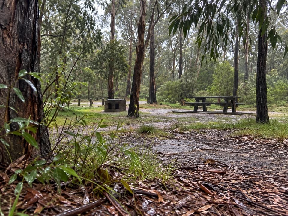 Distillery Creek Picnic AreaA picnic base for ironbark walks and the longer falls circuit.
 Grey River Picnic AreaA quiet rainforest picnic stop with a glow-worm walk after dark.
 Moggs Creek Picnic AreaA quiet bush picnic with a worthwhile coastal lookout walk.
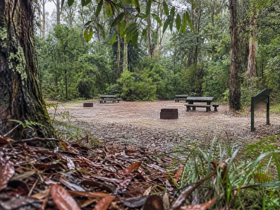 Blanket Leaf Picnic AreaA shaded picnic stop between Lorne and Erskine Falls.
 39Urquhart BluffLong beach, bluffside surf and rockpools revealed at low tide.
 40Sunnymead BeachA quiet cove of reefs and rock pools, reached by steep steps.
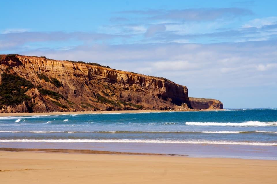 41Addiscot BeachA long curve of sand beneath red cliffs and low-tide rockpools.
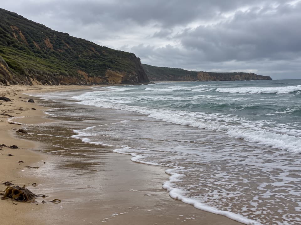 42Southside BeachCliff-backed surf and a marked clothing-optional stretch
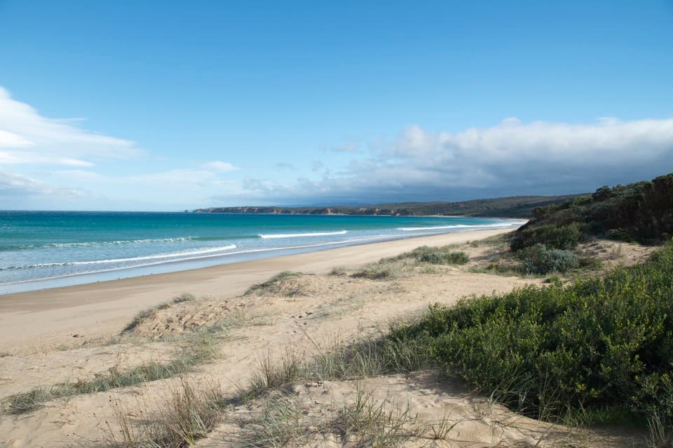 43Guvvos BeachA long, open stretch of sand with a lookout above the surf.
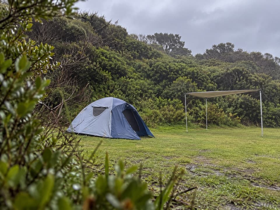 Johanna Beach CampgroundTwenty-five unpowered sites behind dunes near Johanna Beach.
 44Jebbs PoolA leafy gorge walk ends at cascades and a river pool
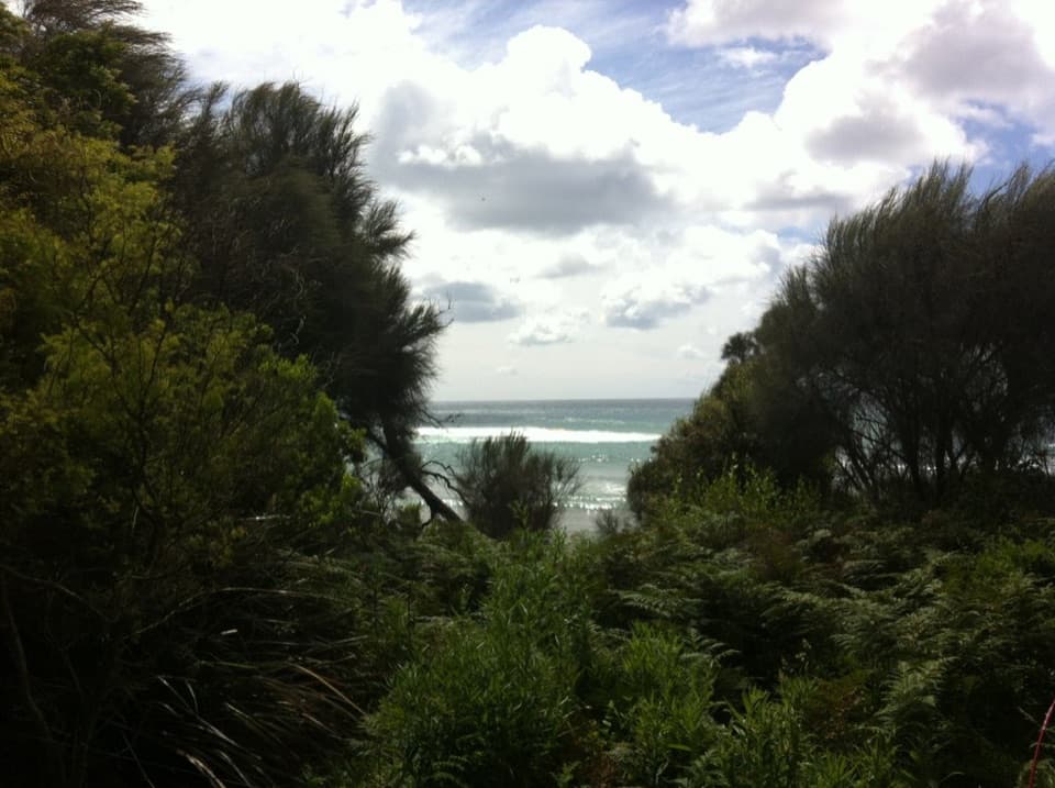 Blanket Bay CampgroundA small unpowered camp tucked behind Cape Otway’s sheltered beach.
 Aire River West CampgroundA roomy riverside base for caravans, groups and walkers.
 Aire River East CampgroundAn unpowered estuary camp for paddling, koalas and quiet bush nights.
 Parker Hill CampgroundCamp beneath stringybarks above Parker Inlet
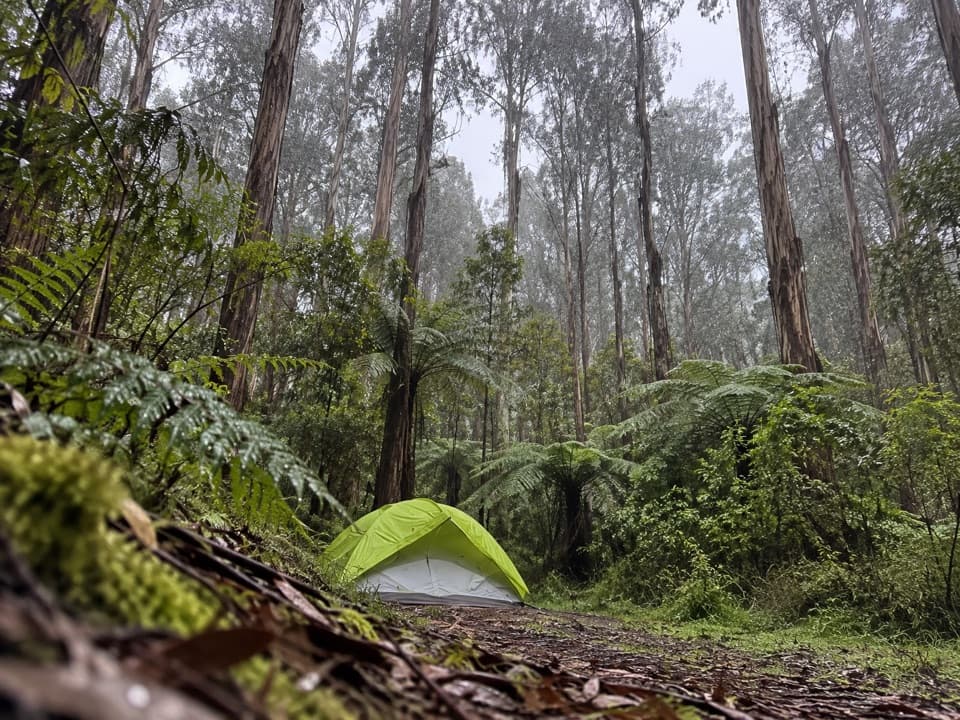 Lake Elizabeth CampgroundForest camping beside the river, with Lake Elizabeth a short walk away.
 Jamieson Creek CampgroundA 24-site coastal camp, with ocean views and a short beach walk.
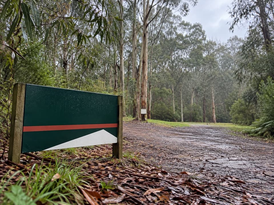 Allenvale CampgroundA leafy tent camp with a 230-metre walk for your gear.
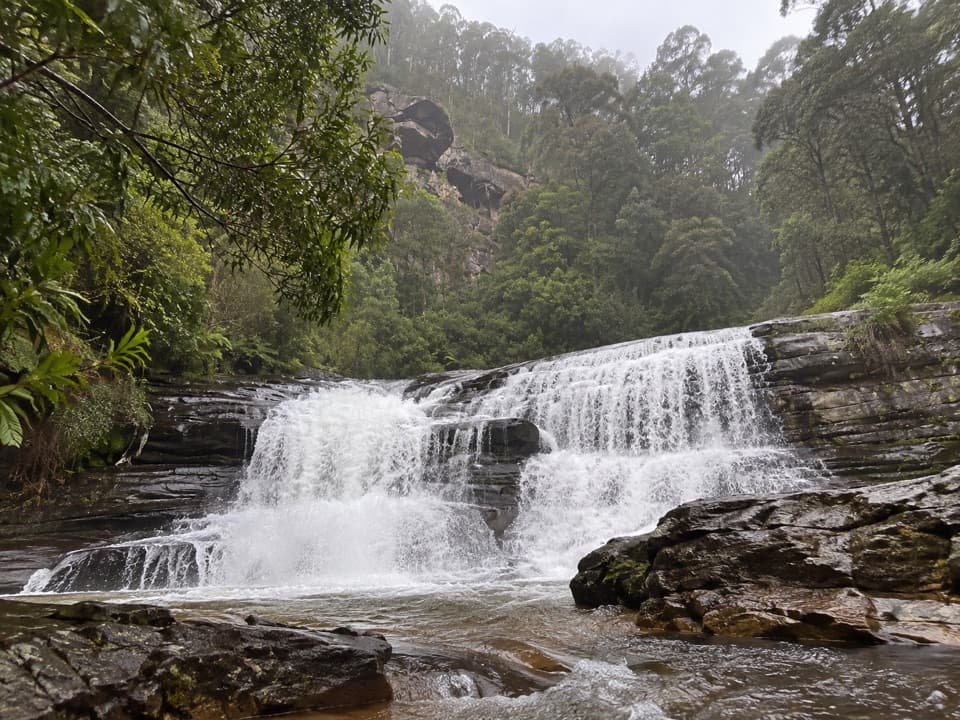 45Splitter FallsA broad ledge waterfall on a challenging walk above Lorne.
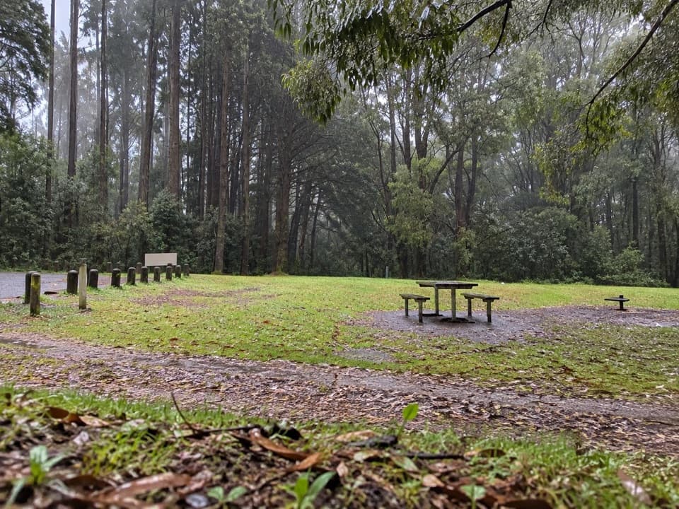 Beauchamp Falls CampgroundFree rainforest camping, with the waterfall walk starting from camp.
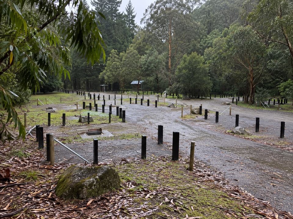 Stevensons Falls CampgroundFree tent camping among redwoods by the Gellibrand River.
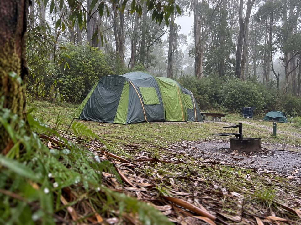 Big Hill CampgroundAn unpowered forest camp with parrots and close-spaced pitches
 Hammond Road CampgroundA quiet bush campground with drive-up and tent-only sites.
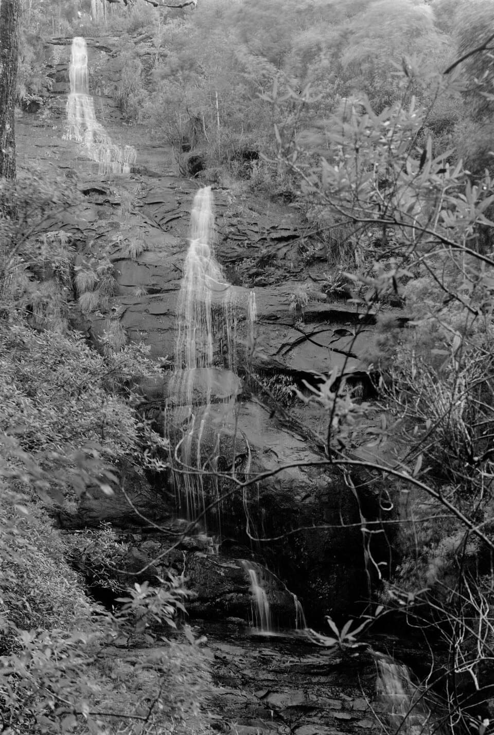 46Straw FallsA rain-fed waterfall detour with a tricky river crossing
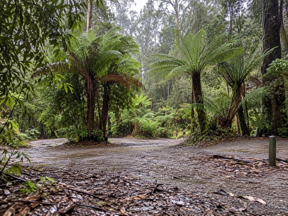 Aire Crossing CampgroundFive first-come sites beside the river in ferny rainforest.
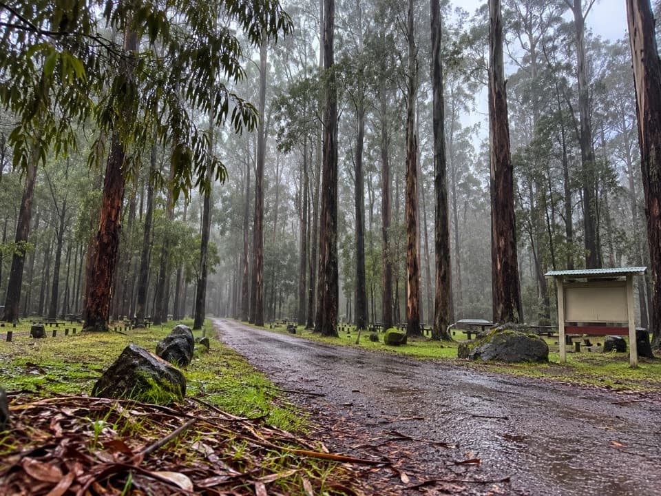 Dandos CampgroundA shaded, unpowered camp on the Gellibrand River.
 Elliot Ridge Hike-in CampgroundA quiet forest night stop for Great Ocean Walk hikers
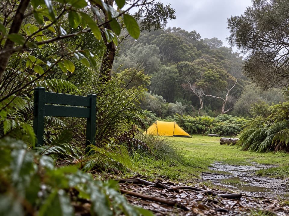 Blanket Bay Hike-in CampgroundA booked overnight camp for Great Ocean Walk hikers.
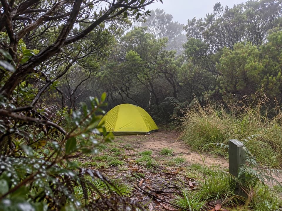 Cape Otway Hike-in CampgroundA booked, sheltered night among coastal scrub.
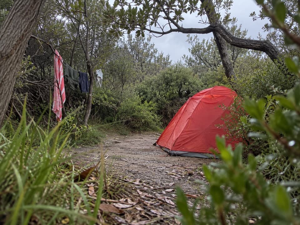 Aire River Hike-in CampgroundA booked bushland camp for walkers taking the coastal route.
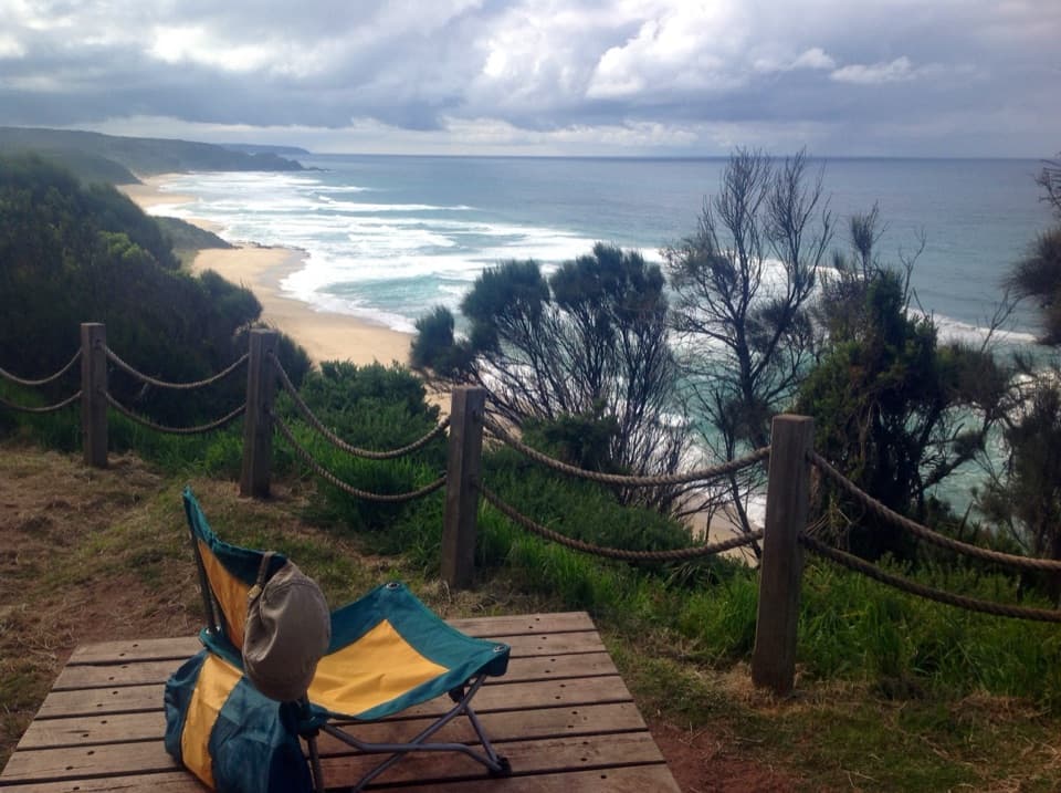 Johanna Beach Hike-in CampgroundA booked ridge camp with a broad Johanna Beach outlook.
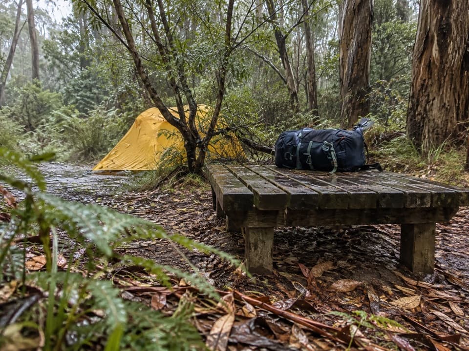 Ryans Den Hike-in CampgroundA quiet ridge camp with ocean views between long coastal stages.
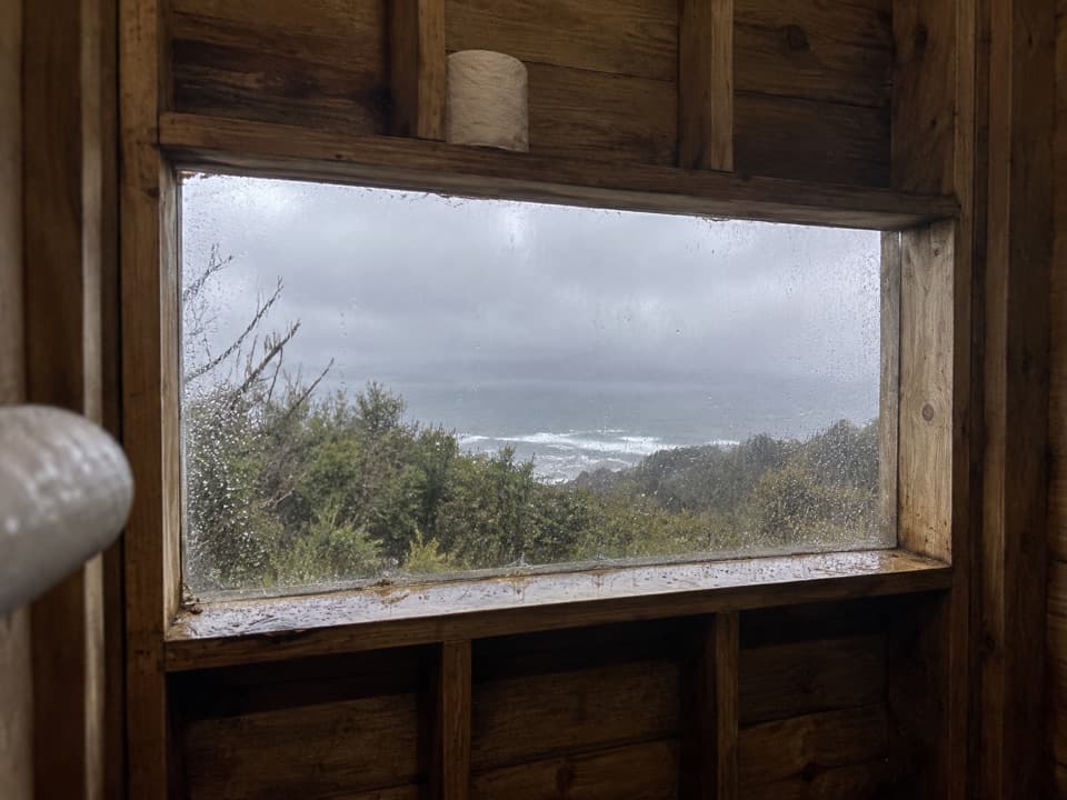 Devils Kitchen Hike-in CampgroundA booked walk-in camp with a coast view from its toilet window.
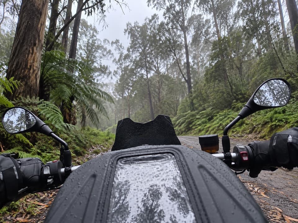 Herberts (Wymbooliel) CampgroundA simple 20-site campground for an overnight stay.
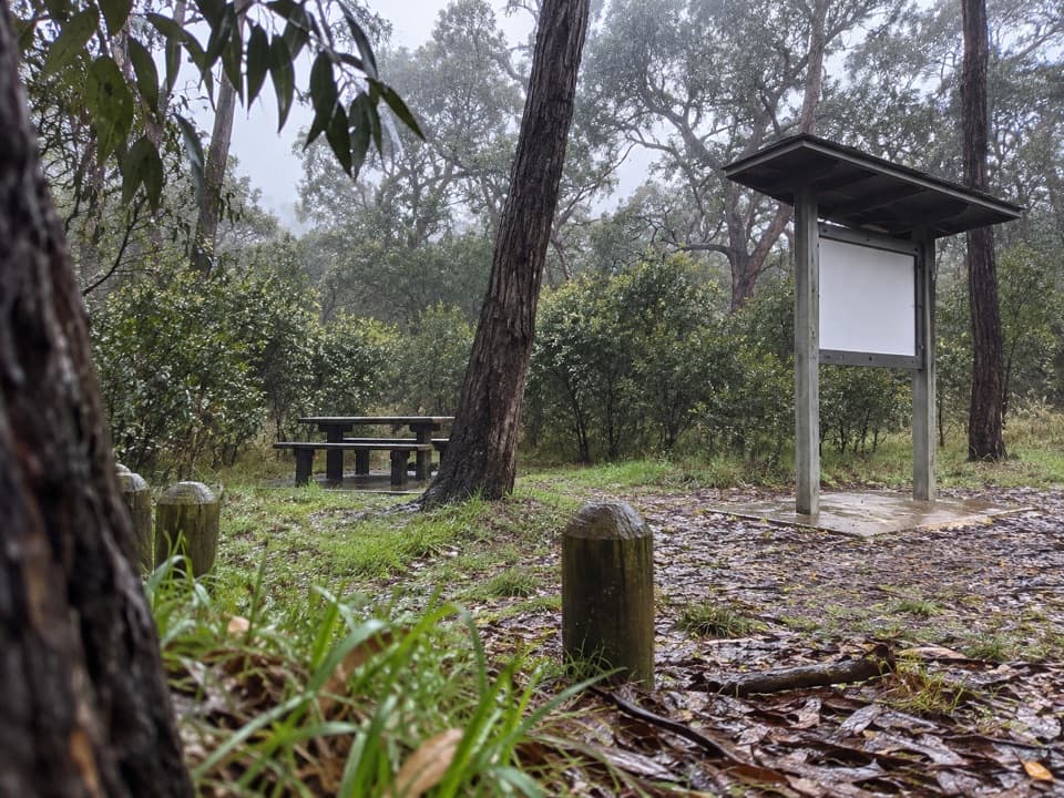 Ironbark Basin Picnic AreaA picnic break with a short loop into ironbark woodland.

The highest, rockiest slopes around here are a summer buffet for grizzly bears.
Great Otway Tour Guide
Great Otway, narrated.
Parkwolf is a GPS audio tour guide for Great Otway National Park. As you drive, it chimes in with what’s ahead: hidden gems, upcoming stops, history, geology, and wildlife, right through your car’s speakers.
See the Great Otway audio tourRecorded for this place
Cape Otway Lightstation0:00 / 0:36
“You’re approaching Cape Otway Lightstation, where the white lighthouse stands above the meeting of Bass Strait and the Southern Ocean. If maritime history interests you, give the ticketed precinct an hour or two.”
Plays as you drive up to Cape Otway Lightstation in the Parkwolf Great Otway Tour Guide.
More stories near here in the app
- A Daisy That Grows into a Tree
- The Gull That Drops Its Dinner
- Bimbi Park: Camping Among Manna Gums
- Parker Hill and Crayfish Bay: The Coastal Loop
- 252 audio storiesacross Great Otway’s roads, triggered by GPS as you drive
- Wildlife heatmapsfor Koala, Grey Kangaroo, Echidna, and 13 more
- Works offlinemaps, 83 trails, 79 places, and audio download before you lose signal
- CarPlay readysimple controls built for the drive
“Fantastic app with many points of information… It’s great to just turn on while you’re driving and it gives you an audio tour of the national Park. We love it!!!!”

