
All Death Valley trails
57 trails
 1Badwater Salt FlatWalk out to Badwater’s salt polygons below sea level.
 2Mosaic CanyonPolished marble narrows lead to a dryfall amphitheater.
 3Golden Canyon to Red CathedralA rocky canyon climb ends beneath Red Cathedral’s fluted red cliffs.
 4Telescope Peak TrailClimb above both valleys to Death Valley’s 11,049-foot summit.5Golden Canyon Complete CircuitRed Cathedral, Zabriskie Point, and Gower Gulch on one long loop
 6Gower Gulch LoopGolden walls, an exposed climb, and a winding wash through Gower Gulch.
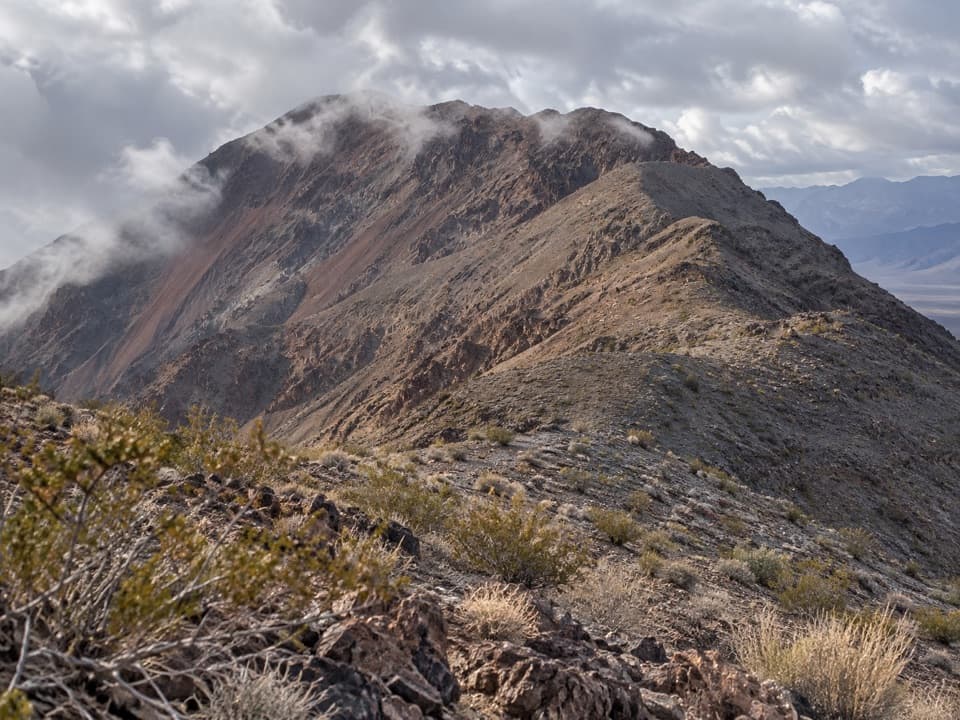 7Dantes Ridge to Mount PerryA long, exposed ridge walk to the peak above Badwater Basin.
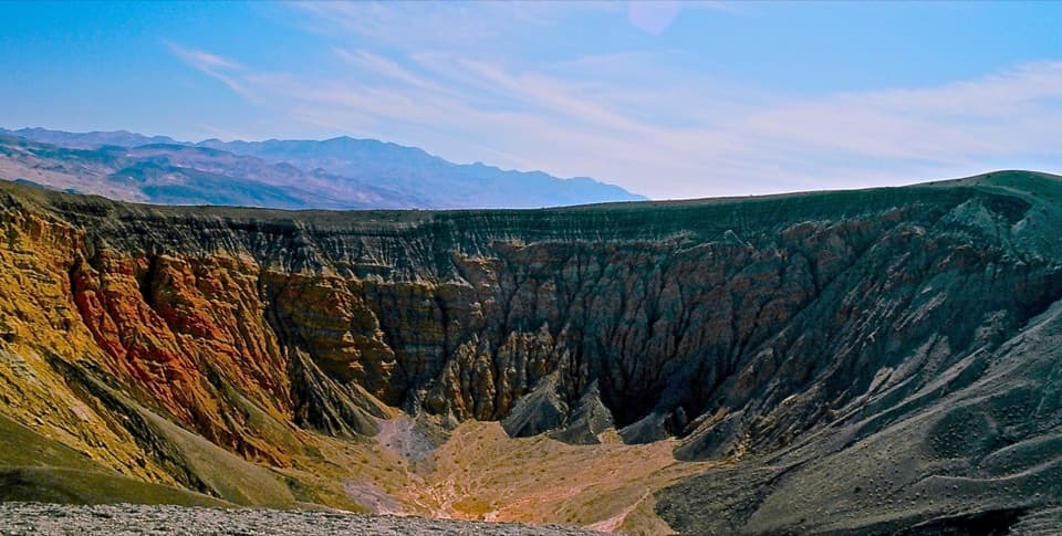 8Ubehebe Crater LoopCircle a 600-foot-deep crater on an exposed volcanic rim.
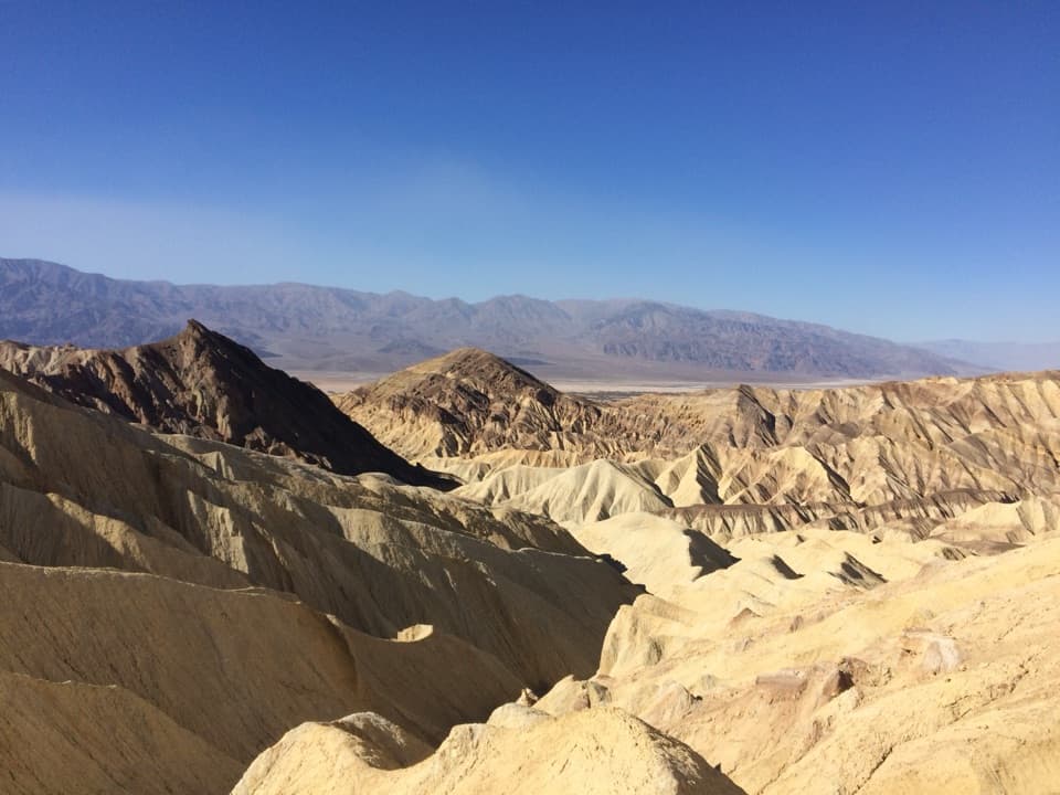 9Badlands LoopA 2.7-mile loop through colorful badlands below Zabriskie Point.
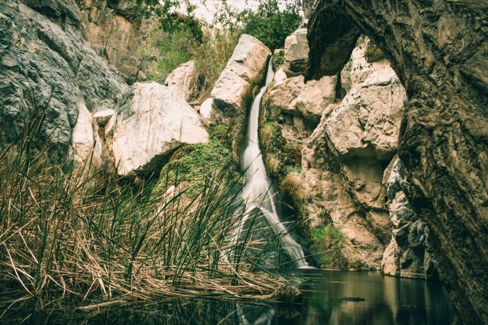 10Darwin Falls TrailSeven miles out and back to a rare waterfall oasis.
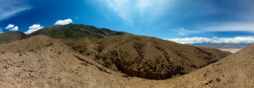 11Sidewinder CanyonThree tight slots, rough scrambling, and no trail to follow.
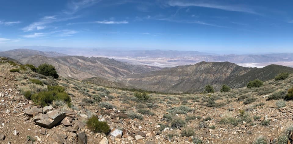 12Wildrose Peak TrailFrom 1877 charcoal kilns to high summit views over two valleys.
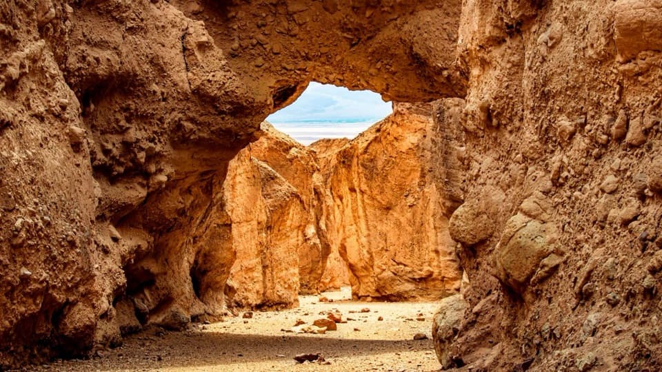 13Natural Bridge TrailWalk under a natural bridge, then follow the canyon to its dryfall.
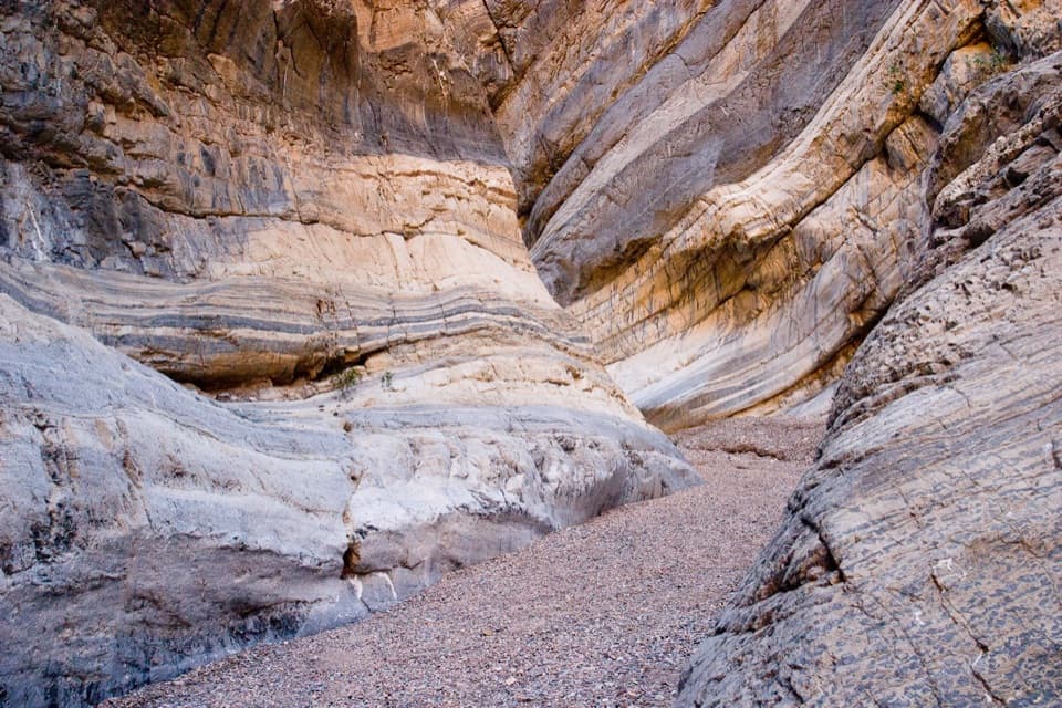 14Fall CanyonA desert fan gives way to tight, banded canyon narrows.
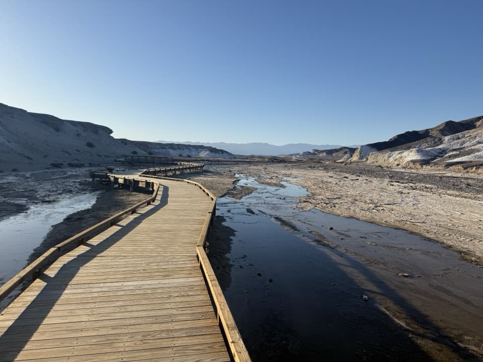 15Salt Creek Interpretive TrailA short boardwalk puts endemic pupfish in view.
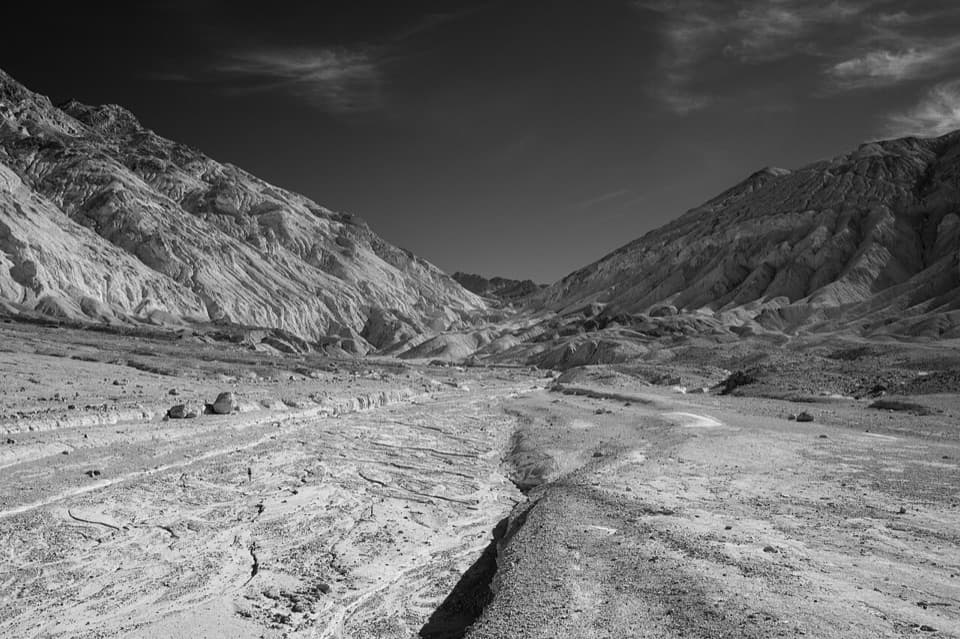 16Desolation CanyonCanyon narrows lead to a high view over Artist Drive.
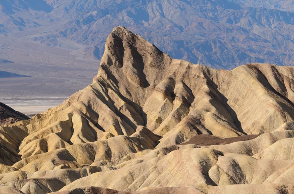 17Golden Canyon to Zabriskie Point TrailA signed badlands traverse beneath Manly Beacon to Zabriskie Point.
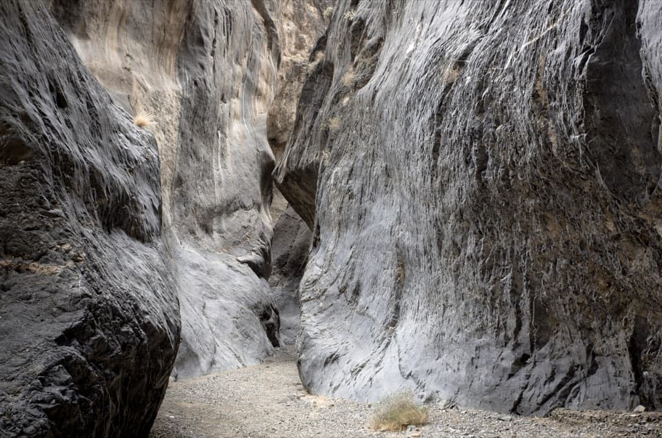 18Cottonwood Marble LoopA hard, 26-mile wilderness loop through three remote desert canyons.
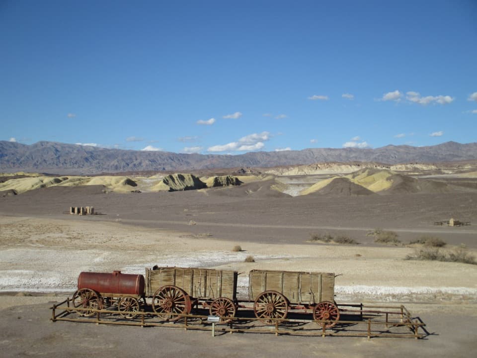 19Harmony Borax Works Interpretive TrailWalk among borax ruins and the original twenty-mule wagons.
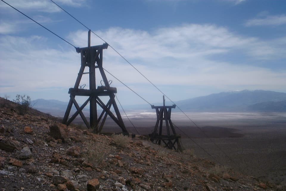 20Keane Wonder Mine TrailA steep 1,500-foot climb to Death Valley's old gold-mine tramway.21Lower Marble CanyonAn 8.4-mile wash hike to polished narrows and dragon eggs.
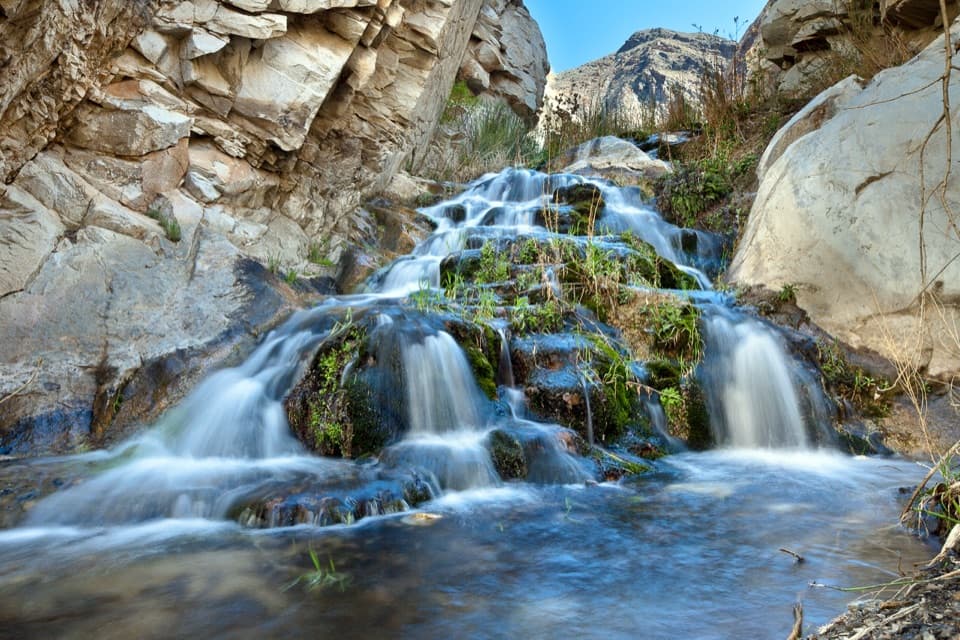 22Surprise Canyon to Panamint CityA wet canyon climb ends at a remote mining ghost town.
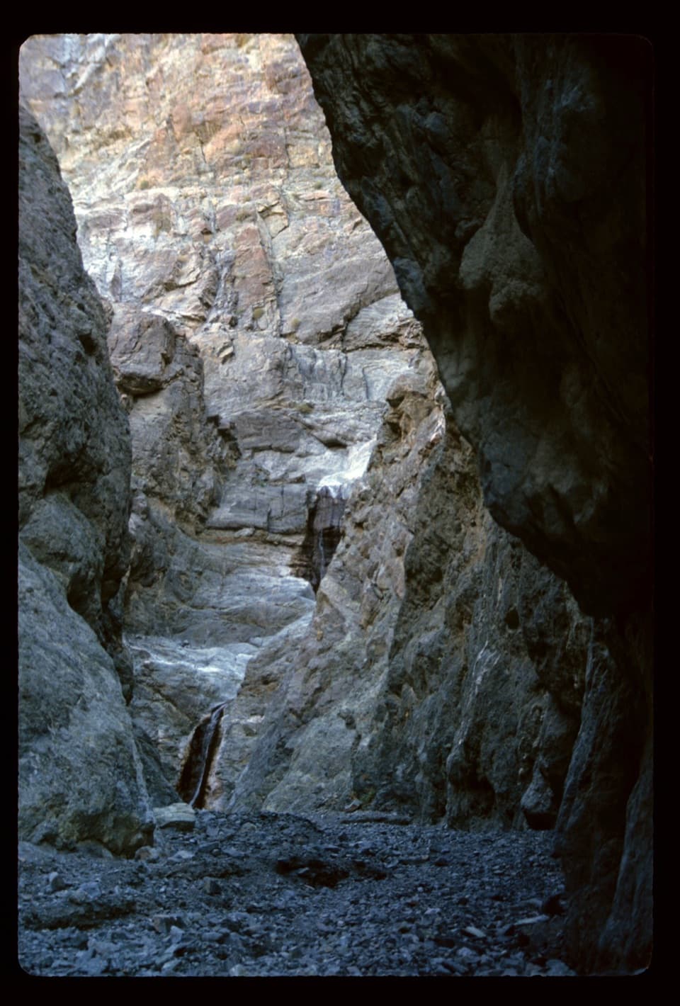 23Willow CanyonAn unmarked cross-country walk to a seasonal waterfall
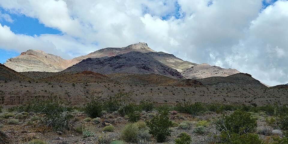 24Corkscrew PeakA rough, unmarked summit climb with a sweeping Death Valley view.
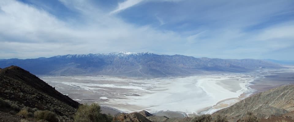 25Dante Peak TrailA rocky ridge walk to a quiet summit above Badwater.
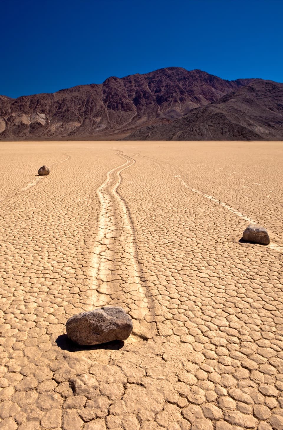 26Racetrack PlayaCross an open lakebed to the tracks left by sailing stones.
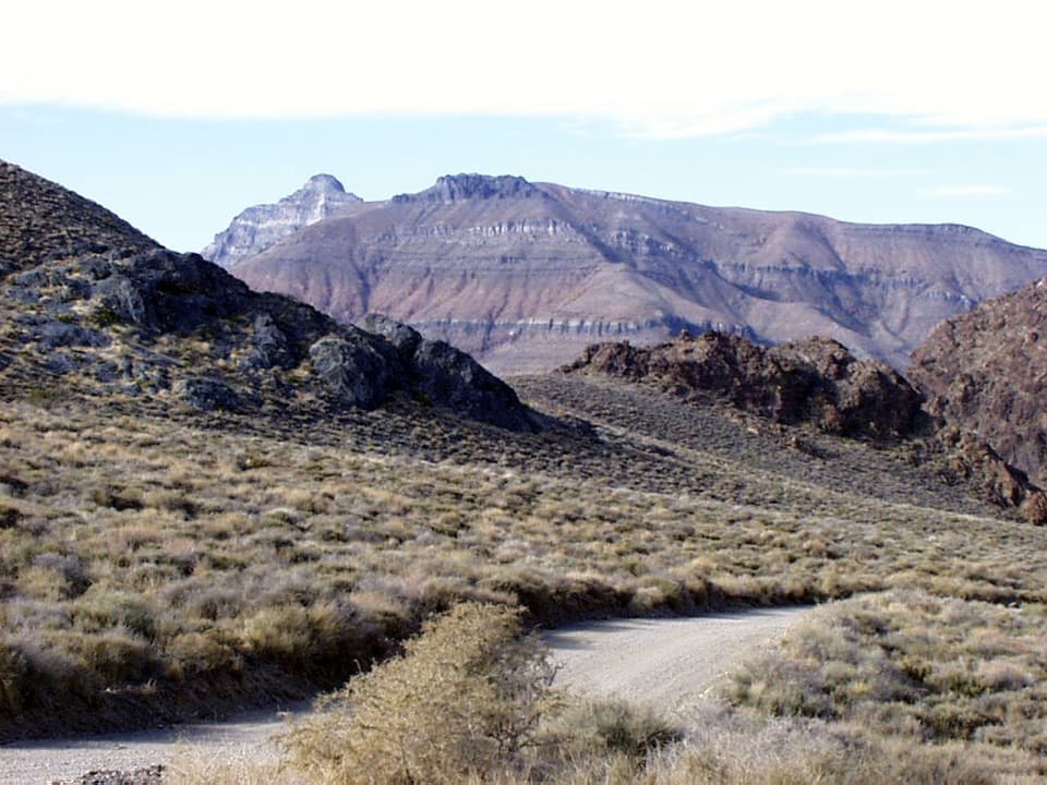 27Thimble Peak HikeA short summit route with a steep, loose scramble at the top.
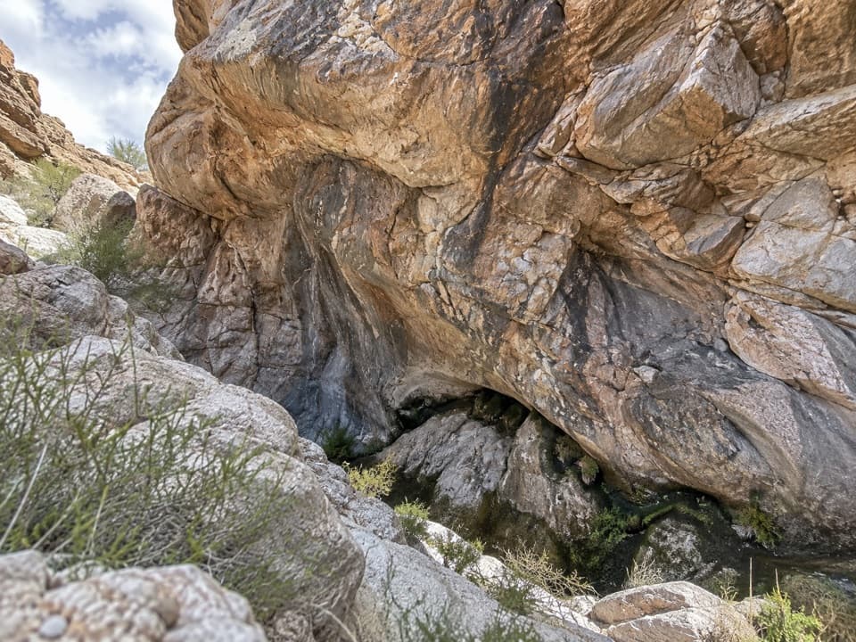 28Upper Monarch Canyon TrailA rugged descent to an old mill and a hidden desert spring.
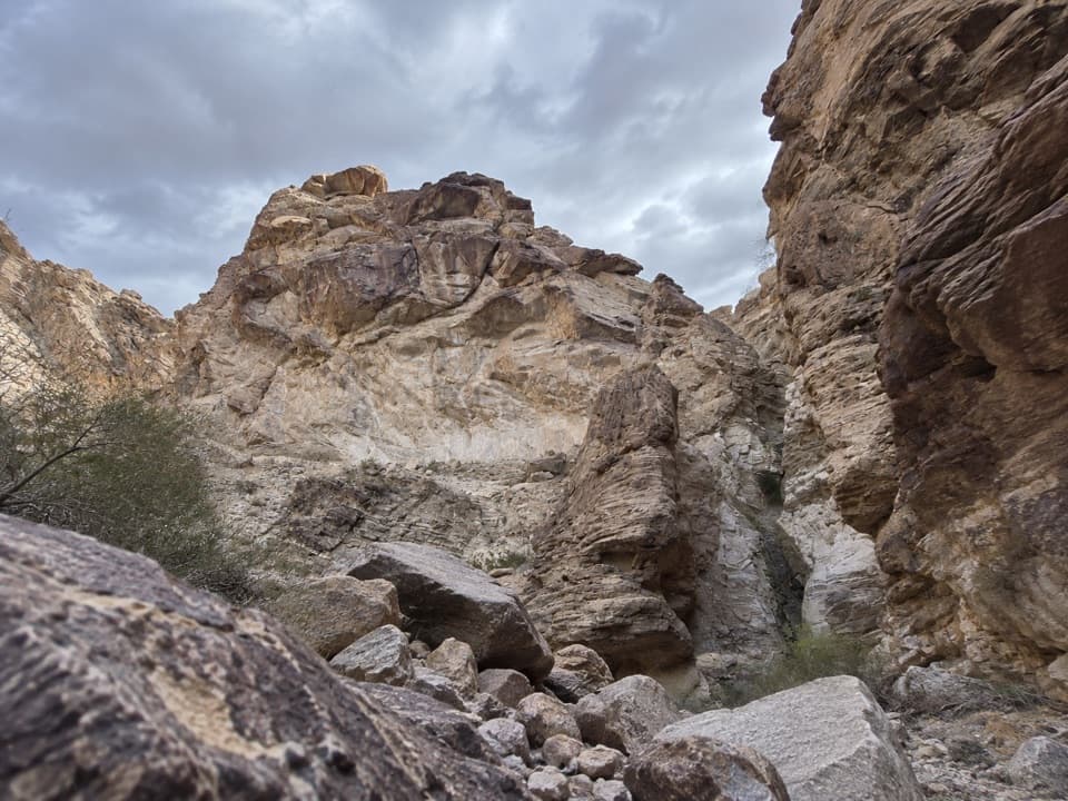 29Lower Monarch Canyon TrailA long desert wash reaches a canyon waterfall in folded rock.
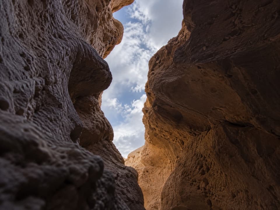 30Funeral Slot CanyonA colorful wash narrows into a sculpted slot canyon.
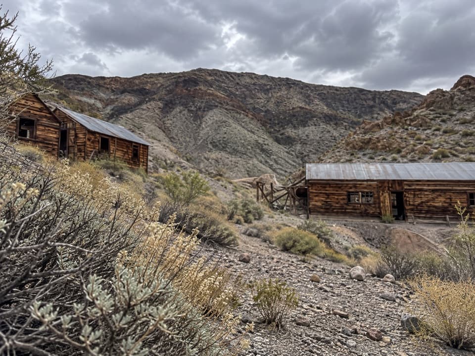 31Ashford Canyon to Ashford Mine CampA remote gold camp rewards a rough canyon wash and uphill climb.
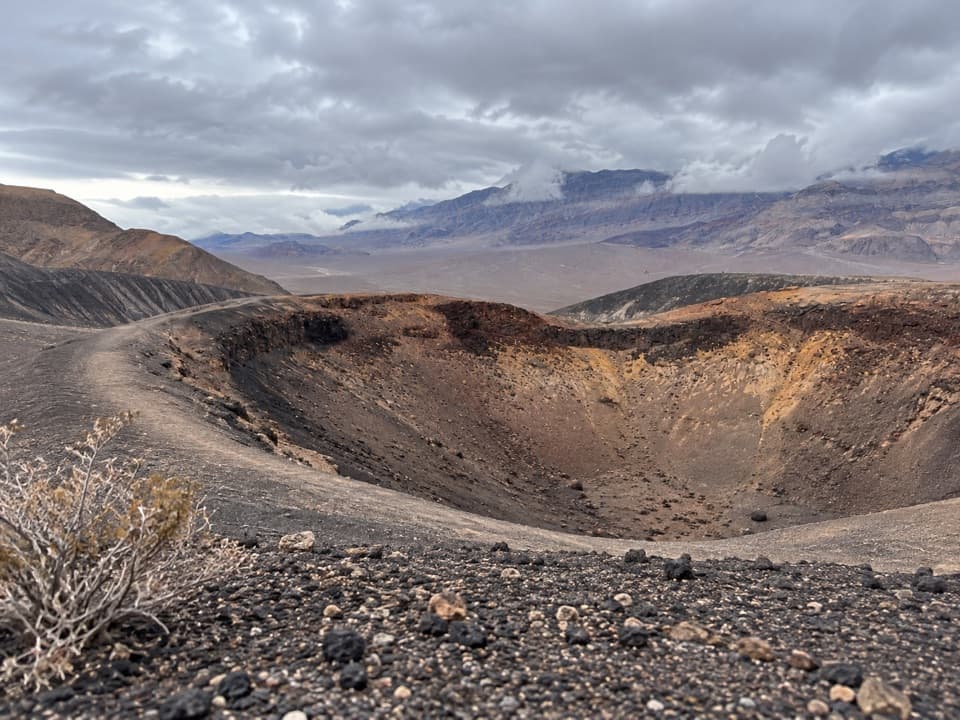 32Little Hebe Crater TrailA short rim walk to a small crater overlooking Ubehebe.
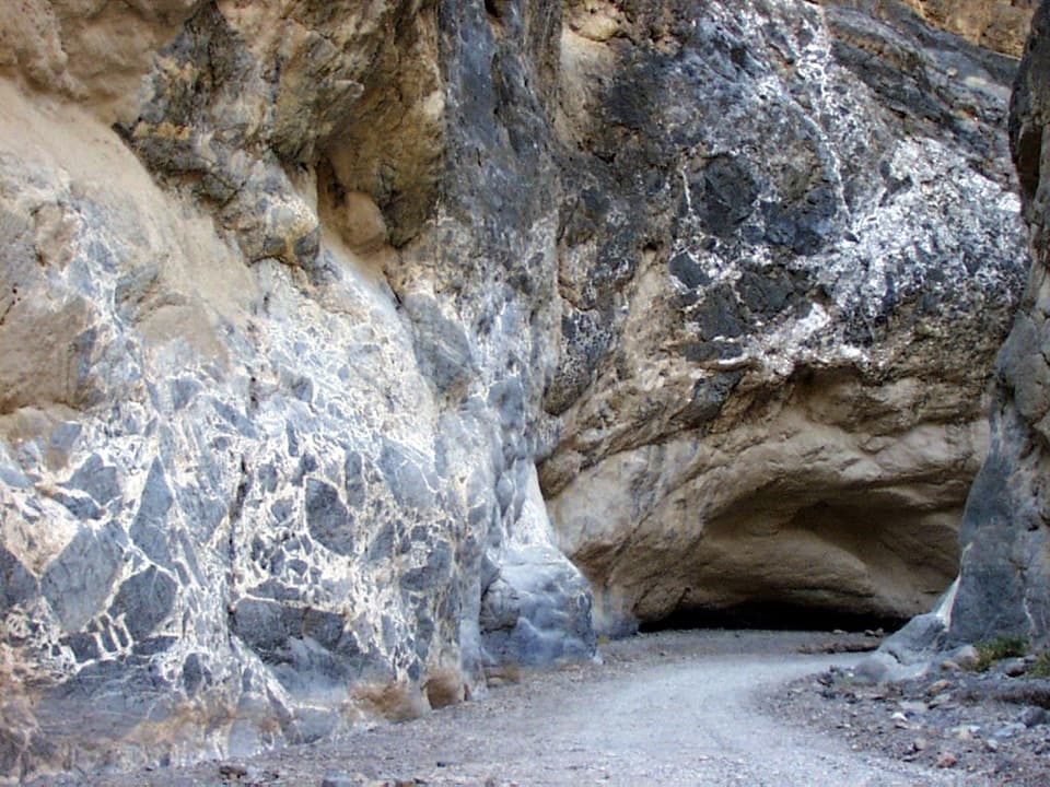 33Titus Canyon NarrowsWalk the gravel canyon road as the walls close in around you.
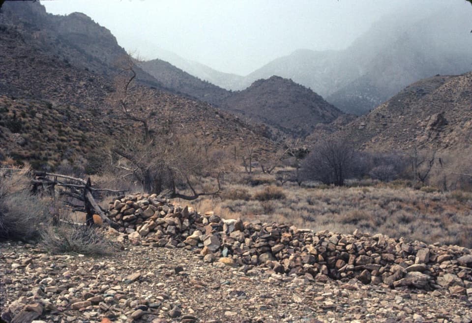 34Hungry Bill’s Ranch TrailFollow the creek to old orchards and stone walls.
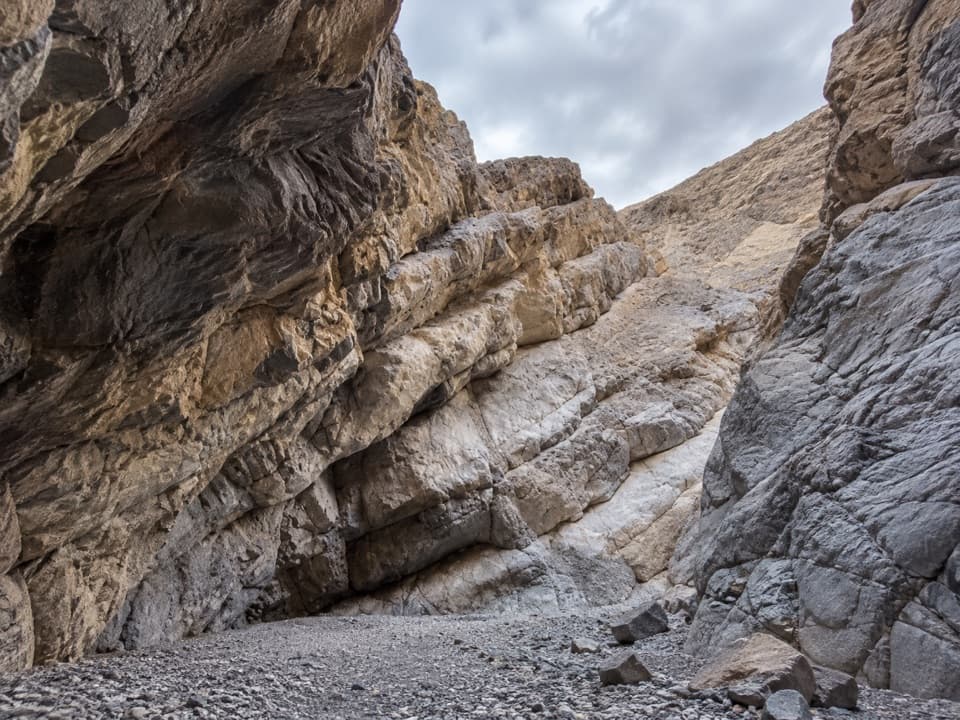 35Palmer Canyon to the 80-Foot DryfallA remote canyon day with two narrows and an 80-foot dryfall.
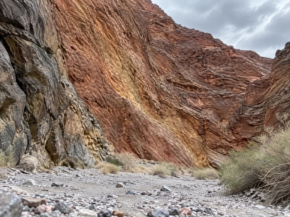 36Redwall CanyonA long, rough fan walk ends in folded red canyon walls.
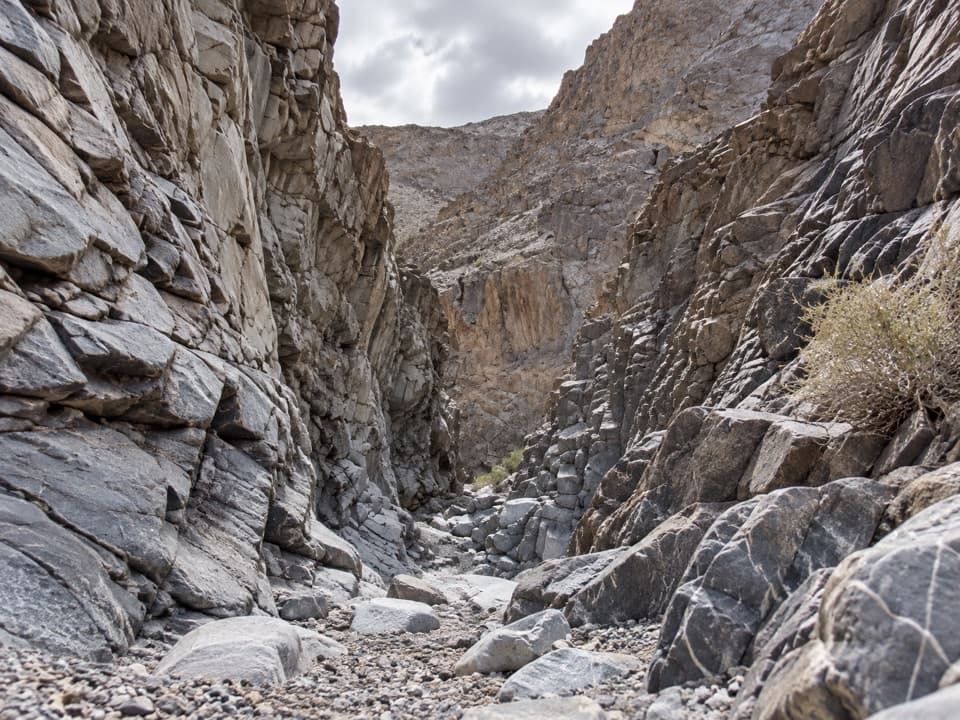 37Corridor Canyon RouteFossils, a serious downclimb, and a long, straight limestone hall.
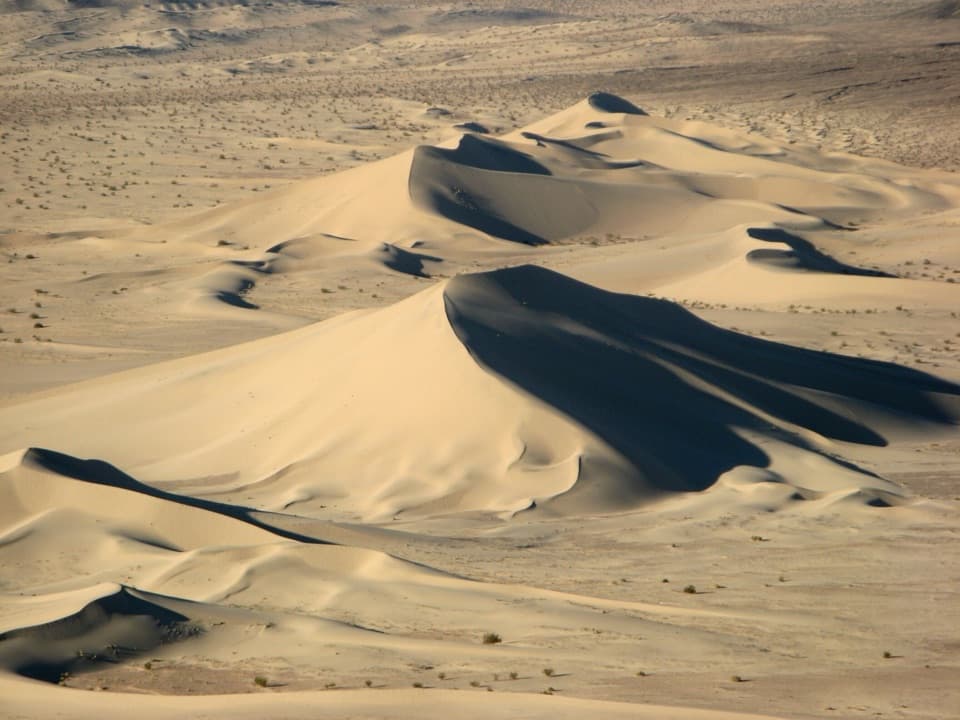 38Ibex Sand Dunes WalkCross open desert to a high, wind-shaped dune crest.
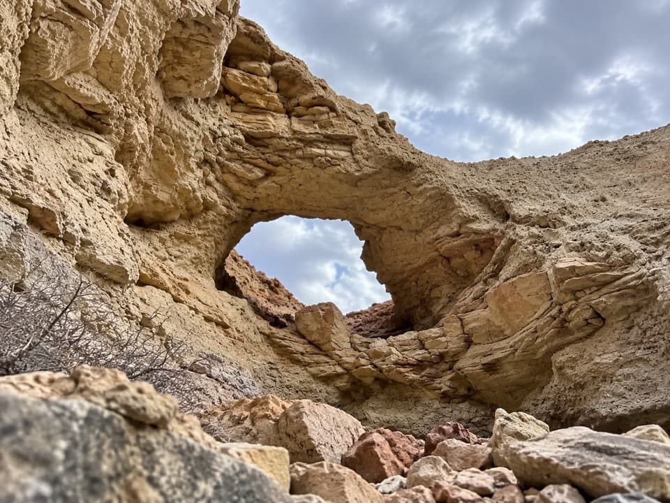 39Little Arches CanyonTwo arches and red narrows reward a hard, unmarked desert hike.
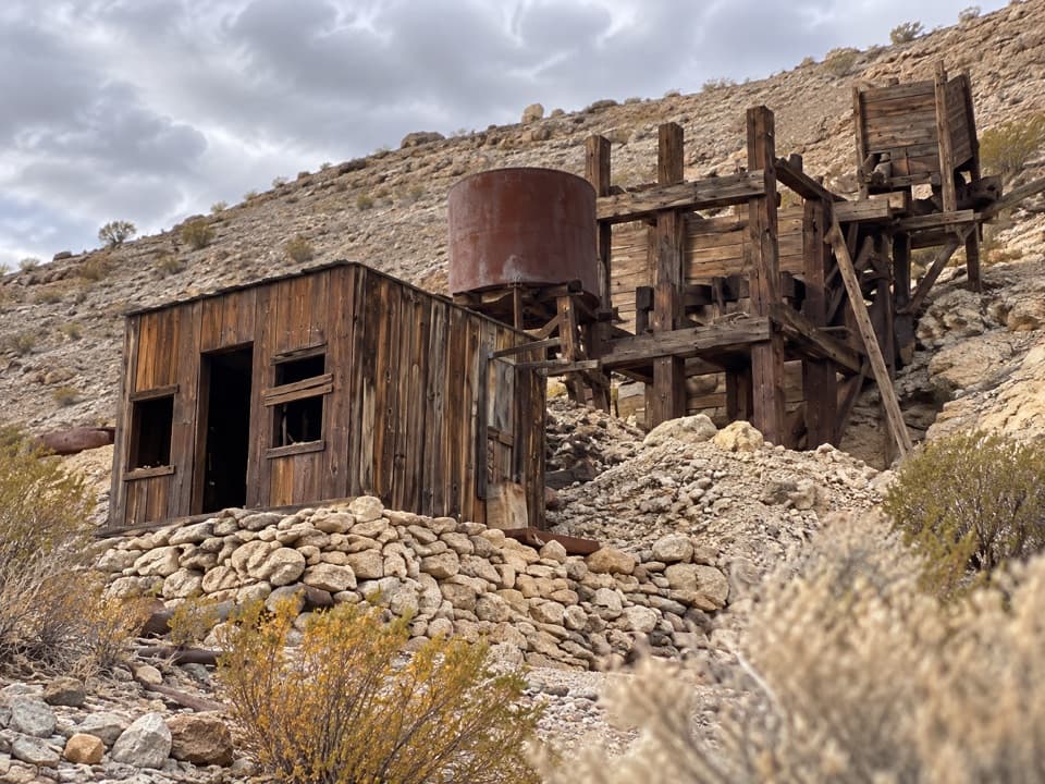 40Keane Spring and John Cyty’s Cabin and Mill TrailA faint desert walk to a spring, cabin, and old stamp mill
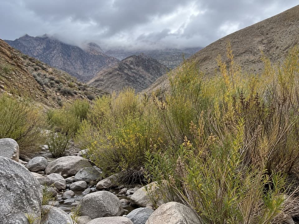 41Hanaupah Spring TrailA short wash walk to a patch of spring-fed greenery.
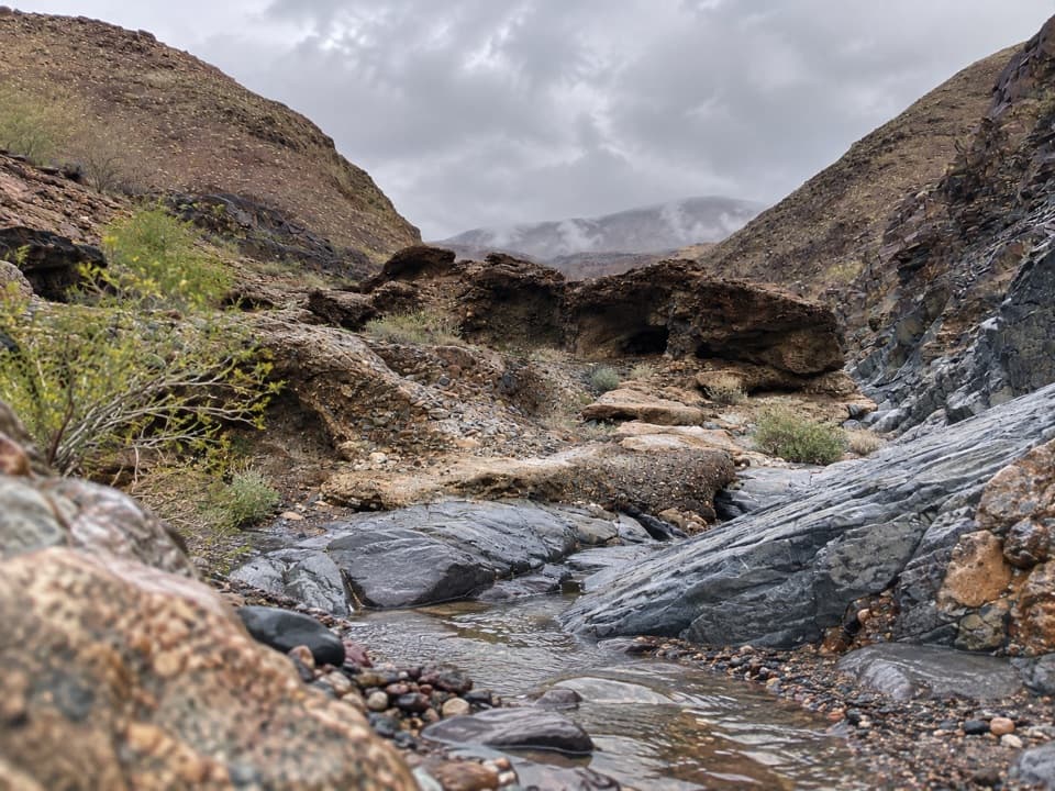 42Indian PassCross a desert wash to a remote pass beyond a dry fall.
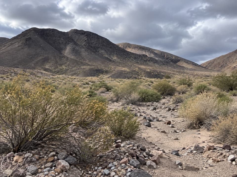 43Through Canyon–Granite Canyon LoopA remote wash route into a hidden basin in the Owlsheads.
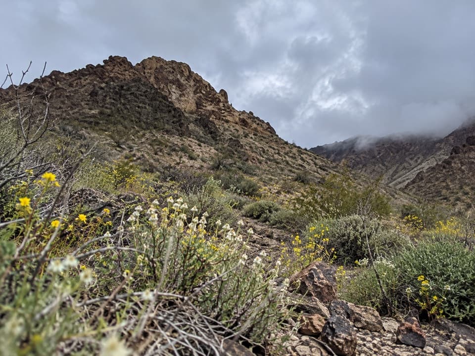 44Titanothere Canyon to Lostman SpringA remote, trail-less wash walk to Lostman Spring.
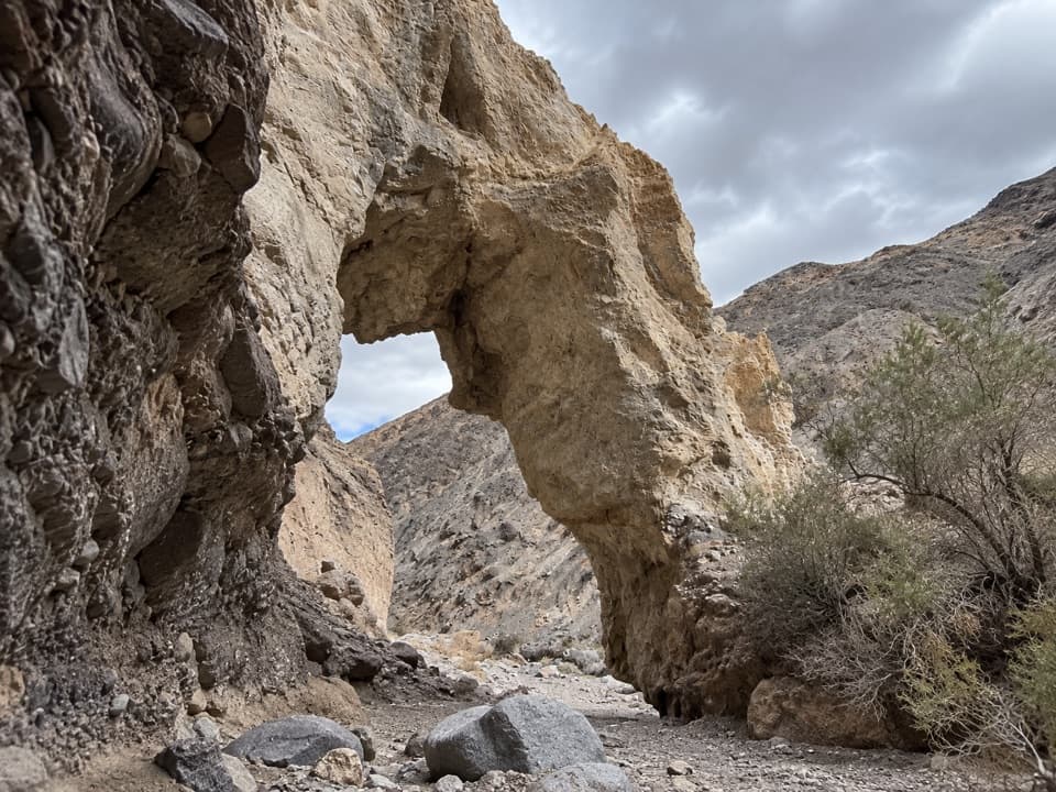 45Little Bridge CanyonA pale natural bridge in a rugged, unmarked Death Valley canyon.
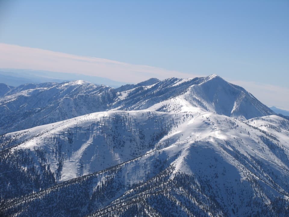 46Rogers Peak via Arcane MeadowsA rocky ridge ends at summit towers and views in every direction.
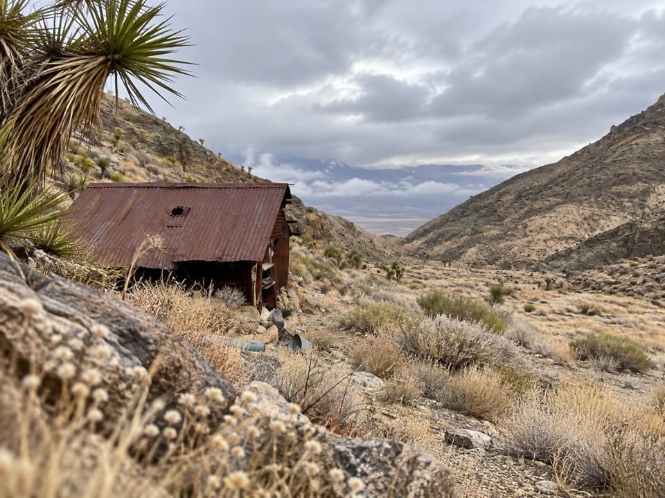 47Lemoigne Canyon to Lemoigne CabinA remote wash hike to a tiny cabin built around 1890.
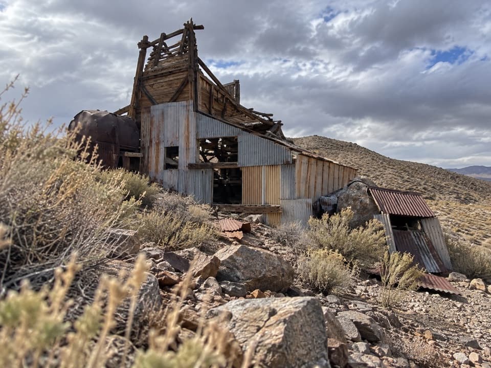 48Greene-Denner-Drake Mill and Overlook TrailOld road to a desert mill; ridge views close the loop.
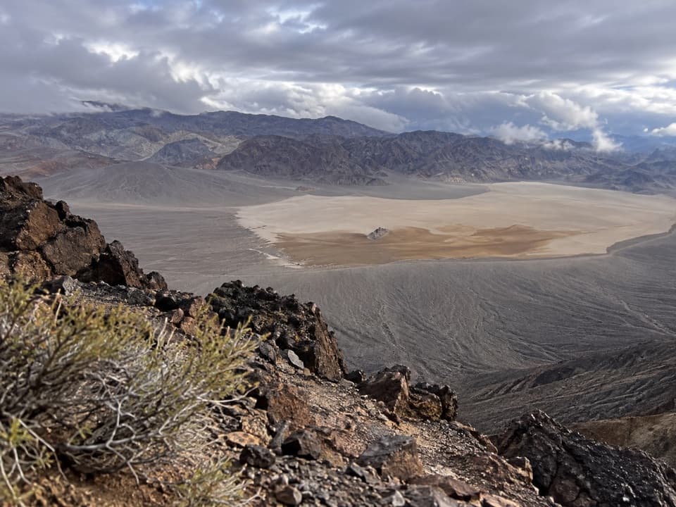 49Little Ubehebe Peak TrailA steep, exposed scramble above Racetrack Playa and Saline Valley.
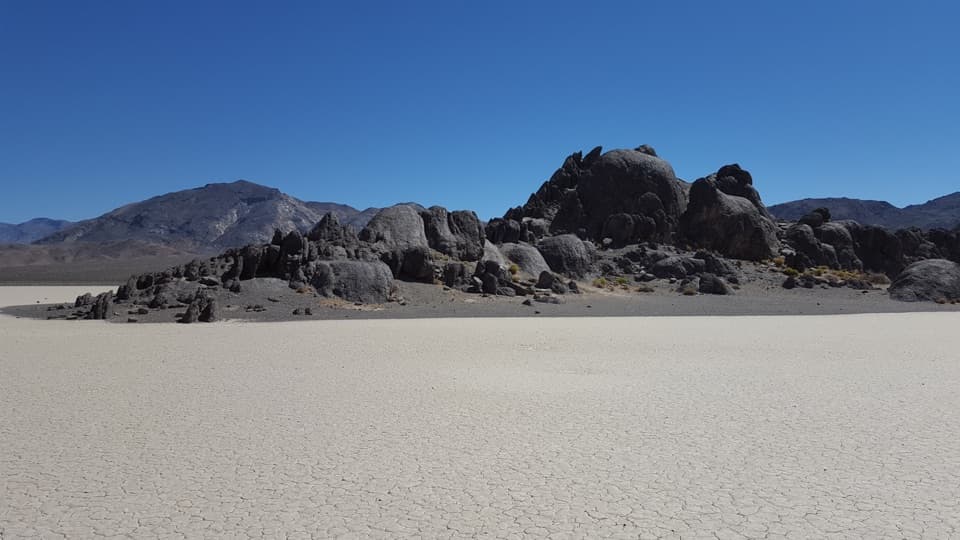 50The Grandstand TrailA short, flat walk to a dark rock island on the playa.
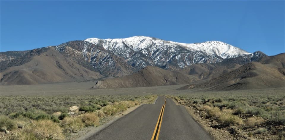 51Bennett PeakA high, unmarked summit above Arcane Meadows
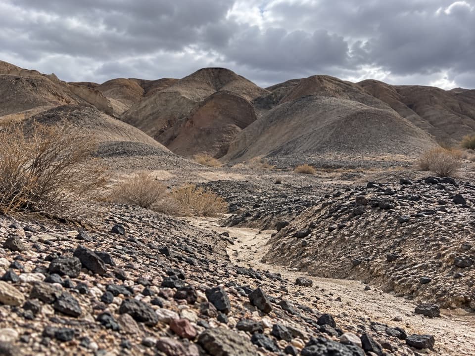 52Kit Fox Hills TrailA rough cross-country route through dark gravel washes.
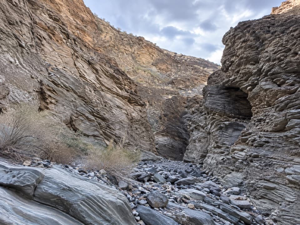 53Lower Stretched Pebble CanyonA rough desert approach to canyon walls of flattened rock.
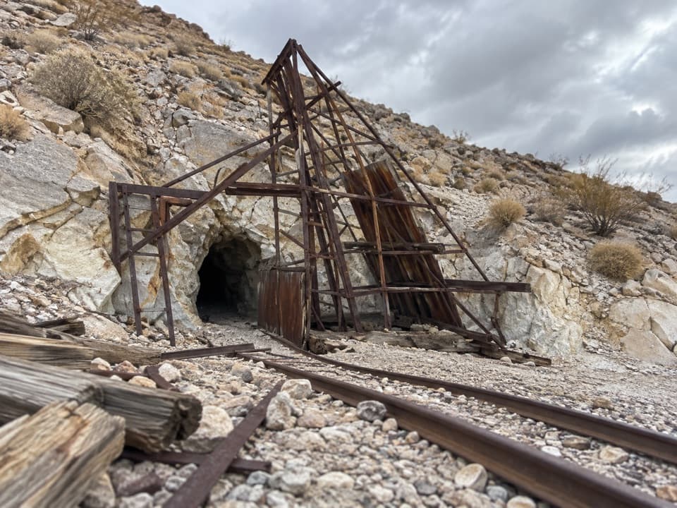 54Lippincott Mine TrailRusted mine gear and a wide valley view on a short hike.
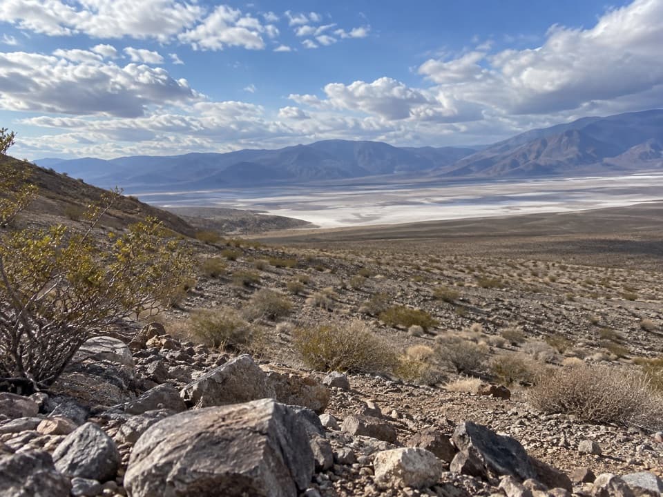 55Big Silver Mine TrailA short desert road walk toward a remote silver-mine site.
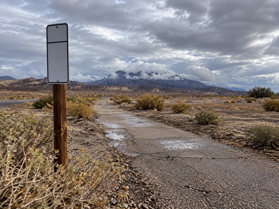 56Furnace Creek Bike PathA flat paved walk from Furnace Creek to the old borax works.
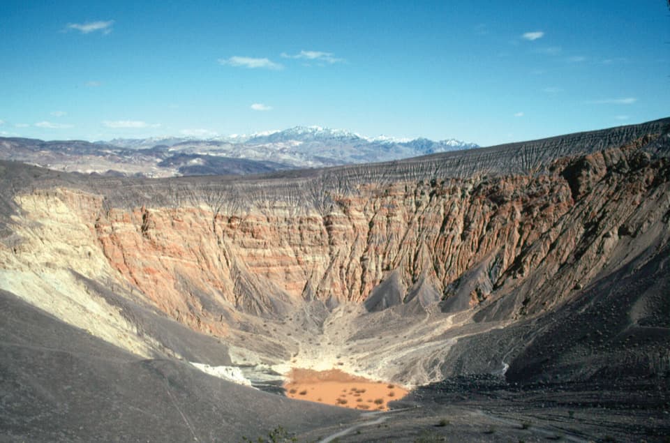 57Ubehebe Crater Floor TrailA short, steep cinder descent to Ubehebe’s crater floor.

The highest, rockiest slopes around here are a summer buffet for grizzly bears.
Death Valley Tour Guide
Death Valley, narrated.
Parkwolf is a GPS audio tour guide for Death Valley National Park. As you drive, it chimes in with what’s ahead: hidden gems, upcoming stops, history, geology, and wildlife, right through your car’s speakers.
See the Death Valley audio tourRecorded for this place
Badwater Basin: Below Sea Level0:00 / 0:34
“You're coming up on Badwater Basin, North America's lowest point at two hundred eighty-two feet below sea level. I'd stop even if you only have time for the boardwalk beside the salty pool.”
Plays as you drive up to Badwater Basin in the Parkwolf Death Valley Tour Guide.
More stories near here in the app
- The Kangaroo Rat's Midair Kick
- The River With Gaps
- The Baby Gauge Ore Trains
- Dantes View: Above the Basin
- 228 audio storiesacross Death Valley’s roads, triggered by GPS as you drive
- Wildlife heatmapsfor Bighorn Sheep, Desert Tortoise, Coyote, and 13 more
- Works offlinemaps, 57 trails, 81 places, and audio download before you lose signal
- CarPlay readysimple controls built for the drive
“Fantastic app with many points of information… It’s great to just turn on while you’re driving and it gives you an audio tour of the national Park. We love it!!!!”

