
All Joshua Tree trails
60 trails
 1Hidden Valley Nature TrailA one-mile loop into a rock-walled cattle-rustler hideout.
 2Barker Dam Nature TrailA short boulder loop to a ranching-era dam
 3Ryan Mountain TrailA steady ridge climb to a 360-degree desert panorama
 4Fortynine Palms Oasis TrailA desert ridge hike ending at a hidden fan palm oasis.
 5Lost Palms Oasis TrailA long desert hike ends at palms tucked below a rocky bluff.
 6Arch Rock TrailA short sandy walk ends at a sculpted granite arch.
 7Lost Horse Mine TrailA rocky desert walk to a wooden mine and stamp mill.
 8Boy Scout TrailAn eight-mile desert crossing from Joshua trees to Indian Cove.
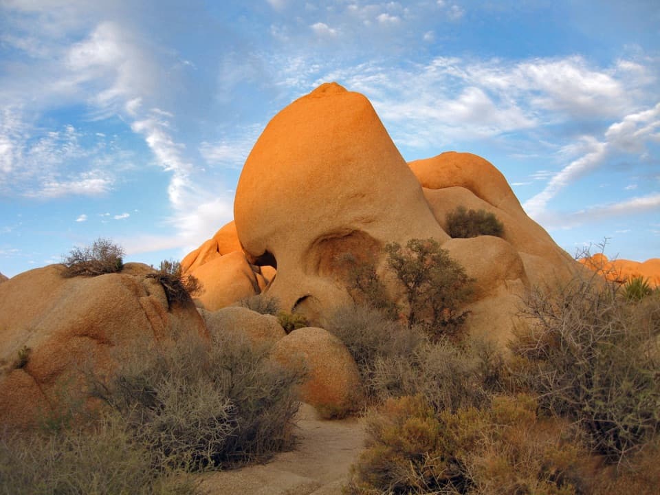 9Skull Rock Nature TrailA short loop to a skull-shaped granite formation
 10Cholla Cactus Garden Nature TrailA quarter-mile loop through thousands of teddy-bear cholla.
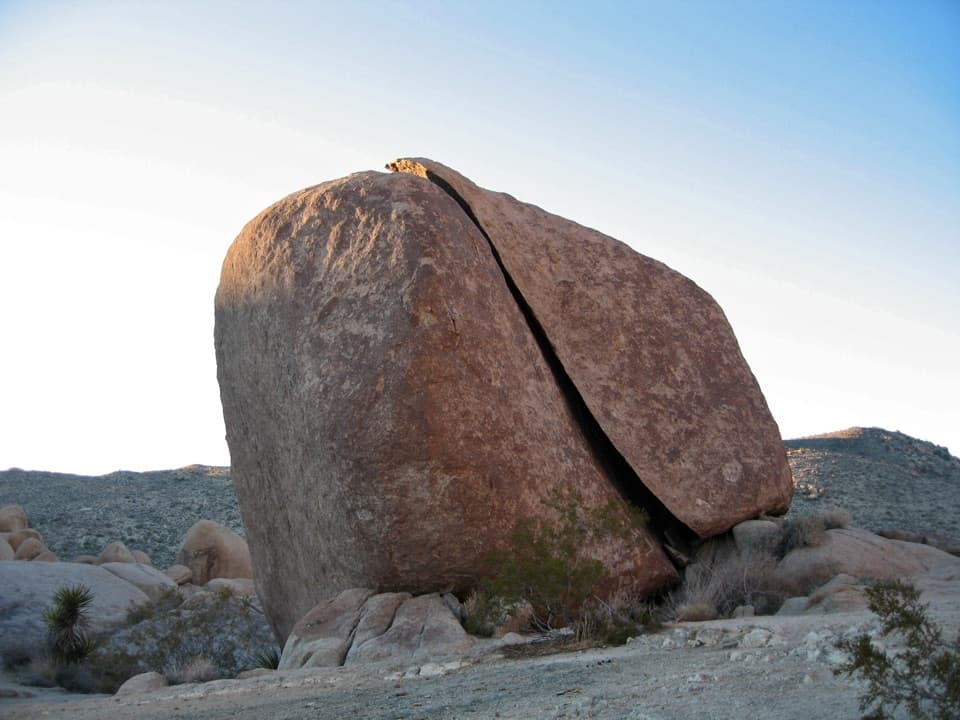 11Split Rock Loop TrailA short boulder loop with a Face Rock detour worth the turn.
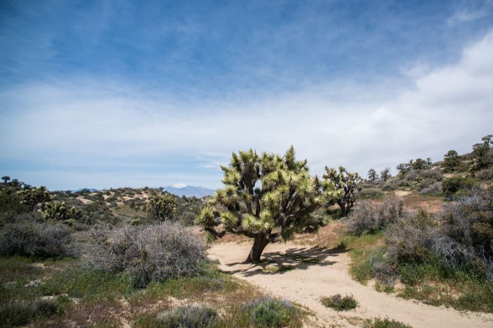 12Panorama Loop TrailClimb from a sandy wash to an open ridge and far horizons.
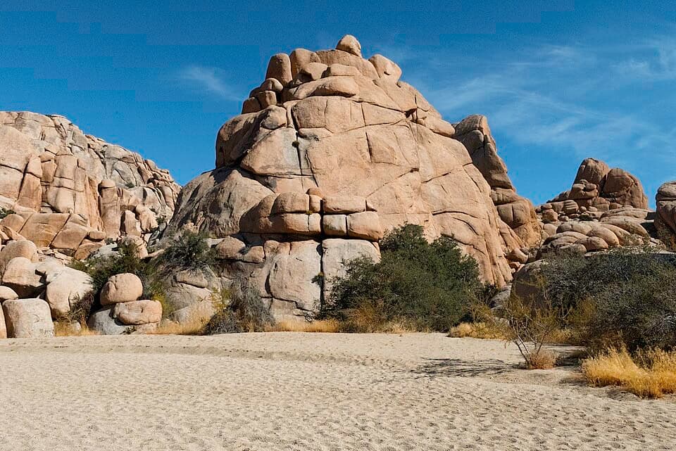 13Willow Hole TrailFollow sandy washes to a seasonal willow grove.
 14Lost Horse LoopAn exposed loop past a historic mine with broad desert views.
 15Warren Peak TrailLong desert miles lead to a steep summit and wide western views.
 16Cottonwood Spring and Mastodon Peak LoopA 2.4-mile loop through bouldery canyons and old mine ruins.
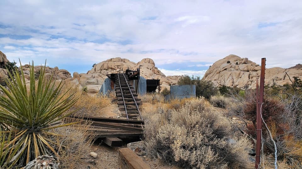 17Wall Street Mill TrailShort, sandy path to a historic gold mill and rusted cars.
 18California Riding and Hiking TrailA 36.6-mile traverse from Black Rock Canyon to North Entrance.
 19Hi-View Nature TrailShort loop, wide views, and more climb than the mileage suggests.
 20Pine City TrailA desert walk to pinyons tucked among granite boulders.
 21Covington Crest TrailA Joshua-tree path ends above canyons and the Coachella Valley.
 22Eureka Peak TrailA long sandy climb to a 360-degree summit view.
 23Maze Loop TrailA five-mile boulder maze through sandy washes and Joshua trees.
 24Inspiration Peak TrailA rocky summit adds the view Keys View can't give.
 25Minerva Hoyt TrailJoshua trees and granite on a three-mile Hidden Valley out-and-back.
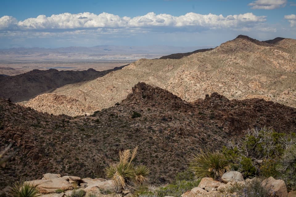 26North View TrailWide Morongo Basin views reward a long, rocky out-and-back.
 27Cap Rock Nature TrailA quick loop among boulders, Joshua trees, and trail signs.
 28Discovery TrailA short loop through washes, rock slots, and a desert overlook.
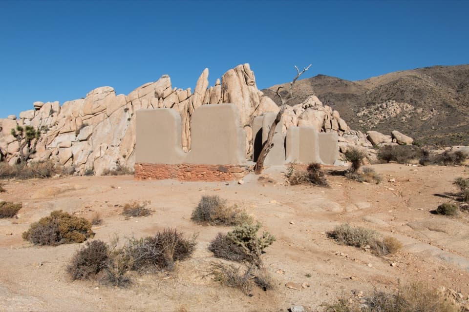 29Ryan Ranch TrailAn easy mile to the old adobe ranch and fallen windmill.
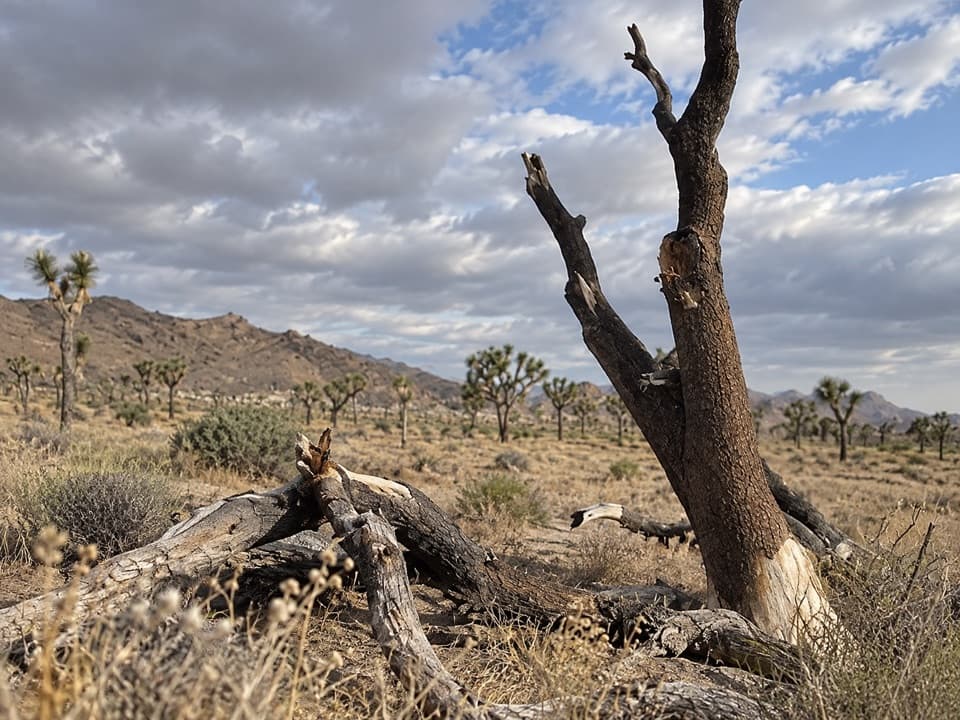 30Stubbe Springs Loop TrailA long, sandy desert loop to a green spring valley.
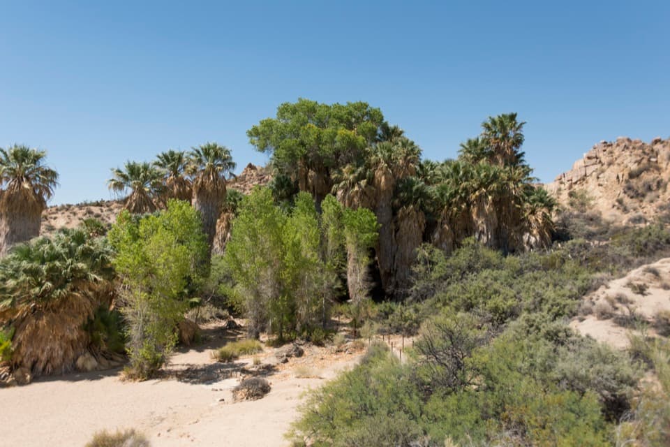 31Cottonwood Spring Nature TrailFan palms and a Cahuilla mortar, a few minutes from the lot.
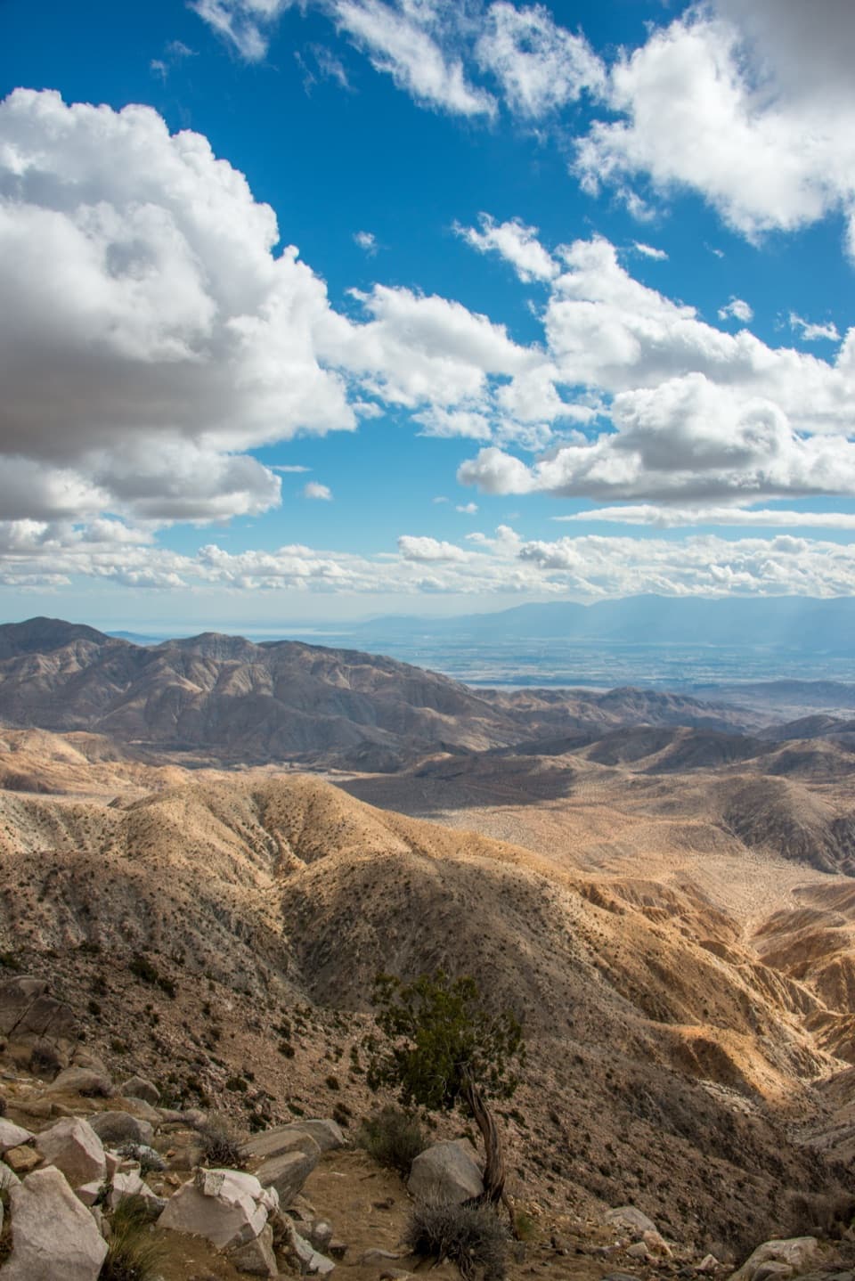 32Keys View Nature TrailA short paved loop for the Coachella Valley panorama.
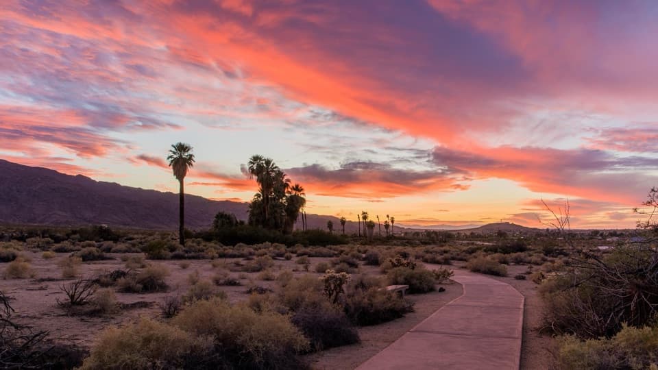 33Oasis of Mara TrailA half-mile paved loop beneath fan palms, with history on the signs.
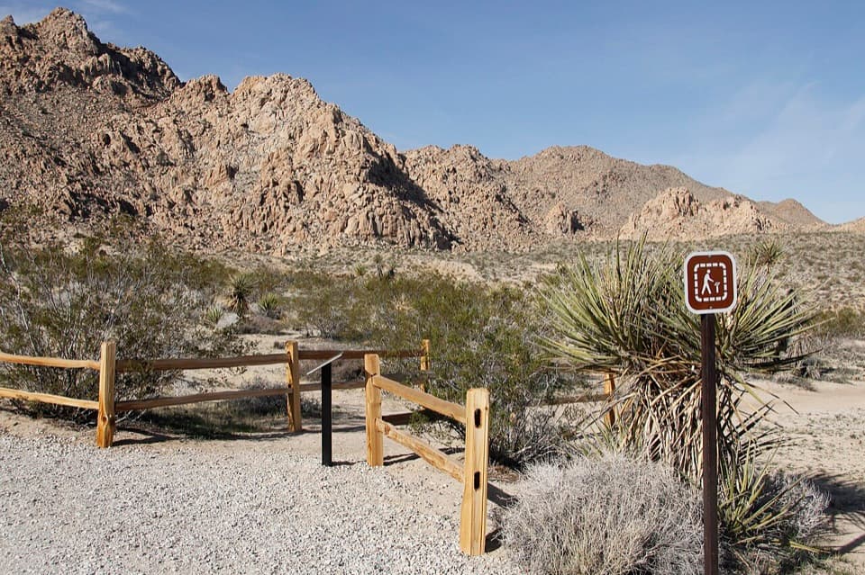 34Indian Cove Nature TrailA gentle loop for desert plants, granite, and spring wildflowers.
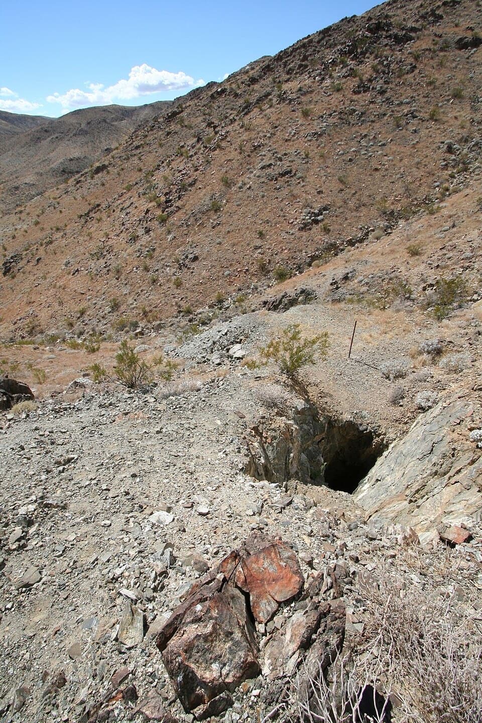 35Desert Queen Mine TrailOld mine gear rewards a short desert walk; stay outside the gates.
 36Lucky Boy LoopDesert views, old mine remains, and a final road stretch.
 37Bajada Nature TrailA short, flat loop through Colorado Desert plant life.
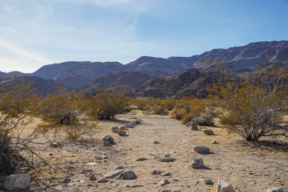 38Contact Mine TrailA quiet desert walk ends among century-old mine workings.
 39Burnt Hill TrailA varied Black Rock loop through a wash, canyon and open valley.
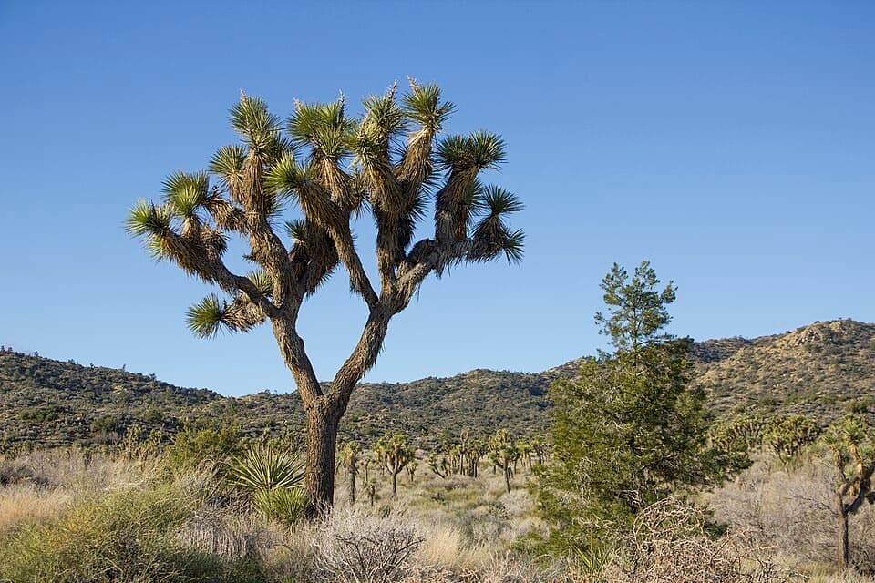 40Short Loop TrailA four-mile loop through washes, ravines and pinyon hills.
 41Big Trees TrailA long out-and-back among some of the park's larger Joshua trees.
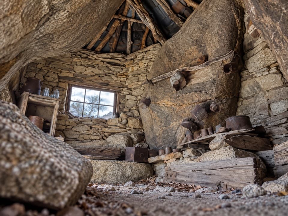 42Eagle Cliff Mine TrailA hidden cabin in boulders, reached by a faint desert route
 43Samuelson Rocks via Creosote and Bigfoot TrailsFollow desert paths to a lonely mound of carved messages.
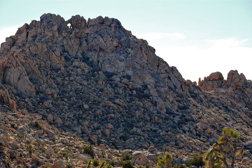 44Window Loop TrailA long Maze approach leads to Window Rock’s tiny opening.
 45Burro/Rocky View LoopA 4.5-mile loop through rocky hills, washes and wide desert views.
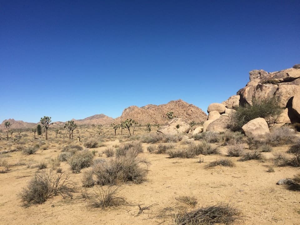 46Quail Springs Historic TrailFollow a sandy historic corridor west from Quail Springs.
 47Bigfoot TrailA remote one-way traverse through open valleys and rocky canyons.
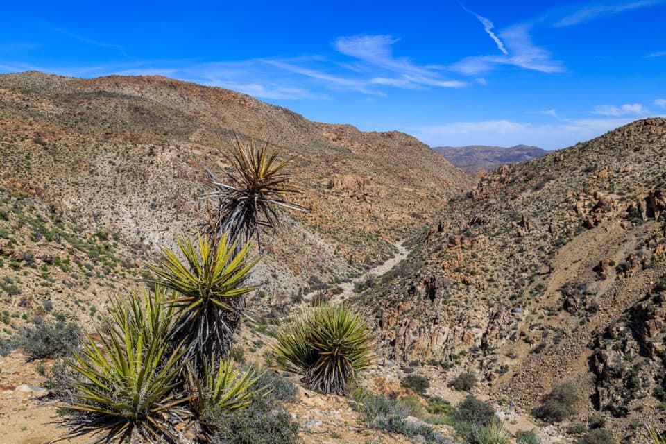 48Lucky Boy Vista TrailAn easy desert walk to mine remains and a wide valley overlook.
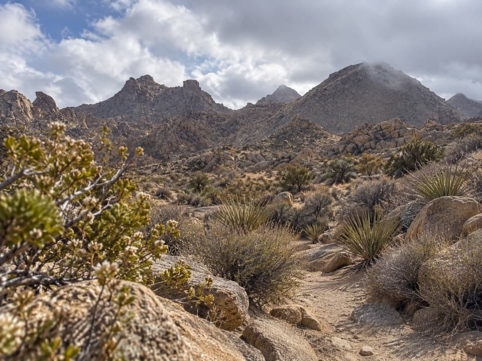 49North Canyon TrailA one-way connector through the Maze’s washes and rocky ridges.
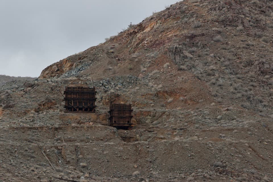 50Silver Bell Mine TrailAn informal climb to two weathered ore bins above Pinto Basin.
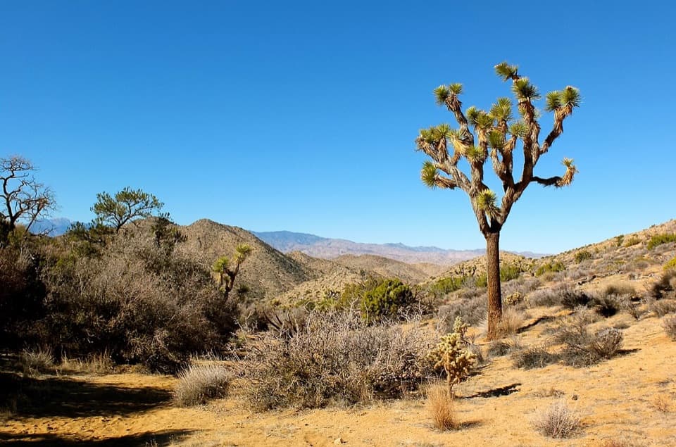 51Black Rock Canyon TrailA sandy wash climbs toward a spring and the Panorama junction.
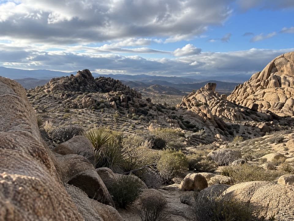 52Big Pine TrailA rocky wash walk, reached only after a long backcountry approach.
 53Panorama TrailA three-mile backcountry climb links Quail Wash and Bigfoot Trail.
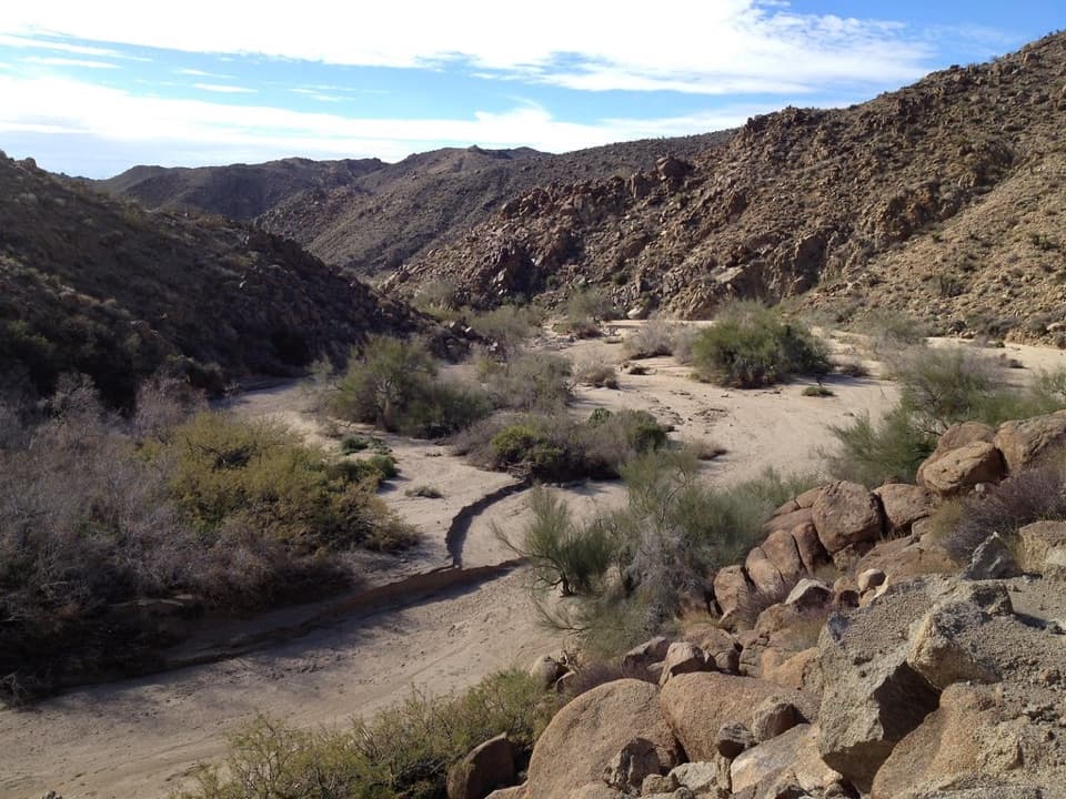 54Moorten’s Mill TrailFollow Cottonwood Wash to a five-stamp mill site.
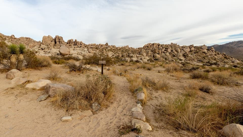 55Paac Kü̱vü̱hü̱’k TrailA long, exposed traverse through open desert and scattered boulders.
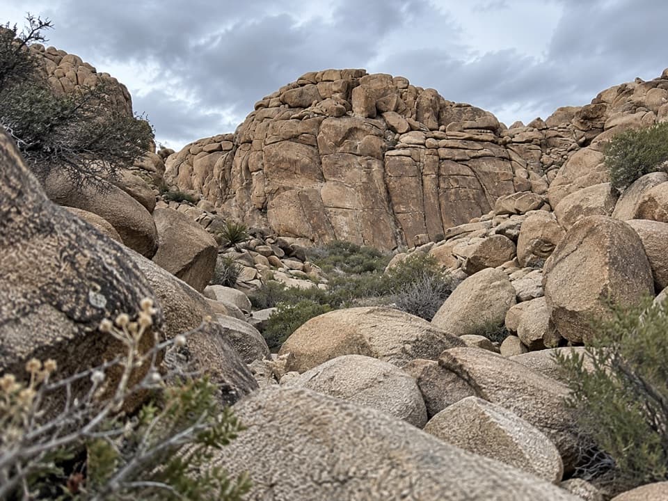 56Corral Wall Loop TrailA short, unmarked rock loop for hikers comfortable scrambling.
 57Conejo Well TrailA remote desert roadbed to Conejo Well, with hard navigation.
 58Mary TrailA backcountry link between Quail Wash and Samuelson West.
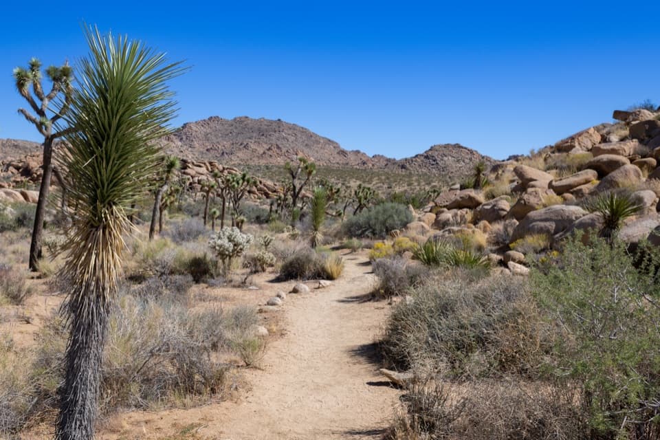 59Creosote TrailA short, lightly signed walk among creosote and Joshua trees.
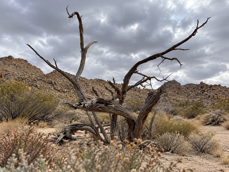 60Samuelson West TrailA 1.1-mile backcountry link with a Mary Trail junction midway

The highest, rockiest slopes around here are a summer buffet for grizzly bears.
Joshua Tree Tour Guide
Joshua Tree, narrated.
Parkwolf is a GPS audio tour guide for Joshua Tree National Park. As you drive, it chimes in with what’s ahead: hidden gems, upcoming stops, history, geology, and wildlife, right through your car’s speakers.
See the Joshua Tree audio tourRecorded for this place
Keys View Over the Coachella Valley0:00 / 0:31
“Up ahead is Keys View, a drive-up overlook where the ridge drops nearly a mile into the Coachella Valley. I'd keep this stop for the sheer scale of the view.”
Plays as you drive up to Keys View in the Parkwolf Joshua Tree Tour Guide.
More stories near here in the app
- The Underground Dam Behind an Oasis
- A Packrat's Time Capsule
- Lost Horse Mine and Its Stamp Mill
- Crystals in the Granite
- 89 audio storiesacross Joshua Tree’s roads, triggered by GPS as you drive
- Wildlife heatmapsfor Bighorn Sheep, Golden Eagle, Desert Tortoise, and 13 more
- Works offlinemaps, 60 trails, 64 places, and audio download before you lose signal
- CarPlay readysimple controls built for the drive
“Fantastic app with many points of information… It’s great to just turn on while you’re driving and it gives you an audio tour of the national Park. We love it!!!!”

