

All Blue Ridge Parkway trails
145 trails
 1Sharp Top TrailSteep, rocky climb to 360-degree views from Sharp Top summit.
 2Craggy Pinnacle TrailA short rhododendron climb to a wide Blue Ridge panorama.
 3Black Balsam Knob TrailA short climb to a breezy, open mountain bald.
 4Humpback Rocks TrailA steep climb to open summit rock above two valleys.
 5Rough Ridge TrailA short climb to a boardwalk above the Linn Cove Viaduct.
 6Erwins View TrailFour overlooks trace the river from upper cascades to gorge.
 7Graveyard Fields Loop TrailA short high valley loop with two optional waterfall spurs.
 8Crabtree Falls Loop TrailA steep loop drops to a 60-foot waterfall in a ferny hollow.
 9Devil's Courthouse TrailA short, steep climb to a high rocky overlook.
 10Mount Pisgah TrailRocky final steps earn a broad view over the French Broad Valley.
 11Black Balsam Knob and Tennent Mountain LoopA double summit loop with open balds and a steep spur climb.
 12Waterrock Knob TrailA steep one-mile round trip to the Parkway’s highest peak.
 13Shining Rock Mountain via Art Loeb TrailA long ridge hike ends among Shining Rock's white quartz boulders.
 14Boone Fork TrailCreek crossings, rocky scrambles, and a waterfall detour in one loop.
 15Sam Knob TrailA quick summit hike with meadow paths and wide Blue Ridge views
 16Rock Castle Gorge TrailA hard loop through rocky ridges, creek cascades, and old home sites.
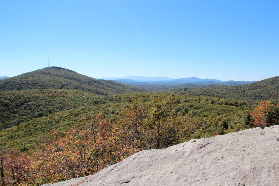 17Beacon Heights TrailTwo quartzite overlooks and Grandfather's ridge for a short, steep climb.
 18Mount Mitchell Summit TrailA short paved climb to the highest summit east of the Mississippi.
 19Apple Orchard Falls TrailA steep blue-blazed descent reaches a 200-foot waterfall.
 20Deep Gap Trail to Mount CraigA short ridge walk to a summit view back toward Mount Mitchell.
 21Flat Top TrailA steep ridge crossing to Flat Top, with far-reaching Blue Ridge views.
 22Daniel Boone Scout Trail to Calloway PeakA steep laddered climb to a 360-degree summit
 23Frying Pan Mountain TrailA steady climb to a historic fire tower with broad ridge views.
 24Humpback Rocks Loop TrailRocky climb, broad Humpback Gap views, and an Appalachian Trail return.
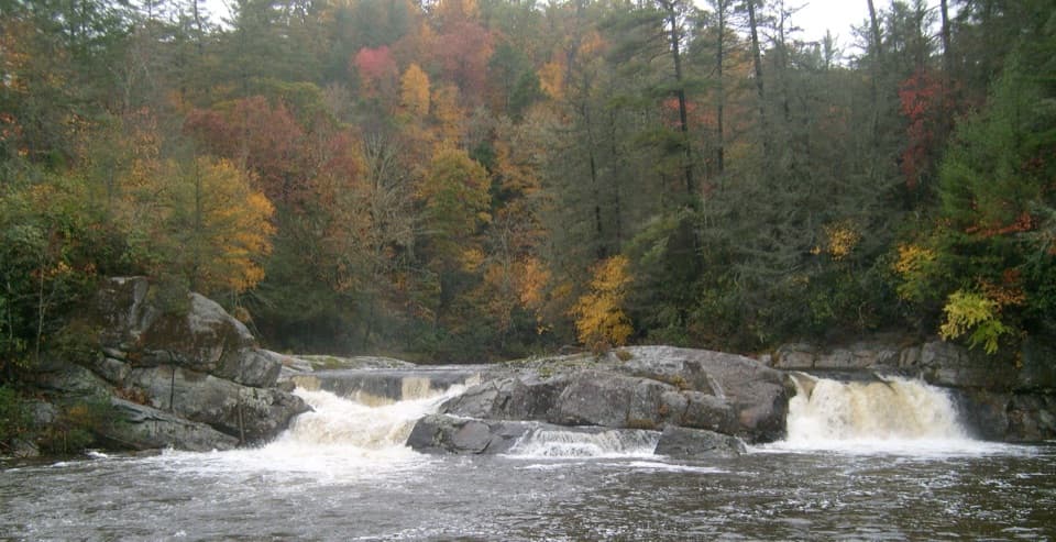 25Upper Linville Falls TrailSee the upper cascades before they vanish into the gorge.
 26Craggy Gardens TrailA rhododendron bald opens onto Montreat and the Black Mountains.
 27Price Lake TrailAn easy shoreline loop around a 47-acre mountain lake.
 28Richland Balsam TrailA wooded high summit, numbered nature stops, and a Parkway view.
 29Three Ridges LoopRugged ridges, open overlooks, and a creek gorge on the return.
 30Flat Top Mountain Carriage TrailA historic carriage climb to a 360-degree mountain tower.
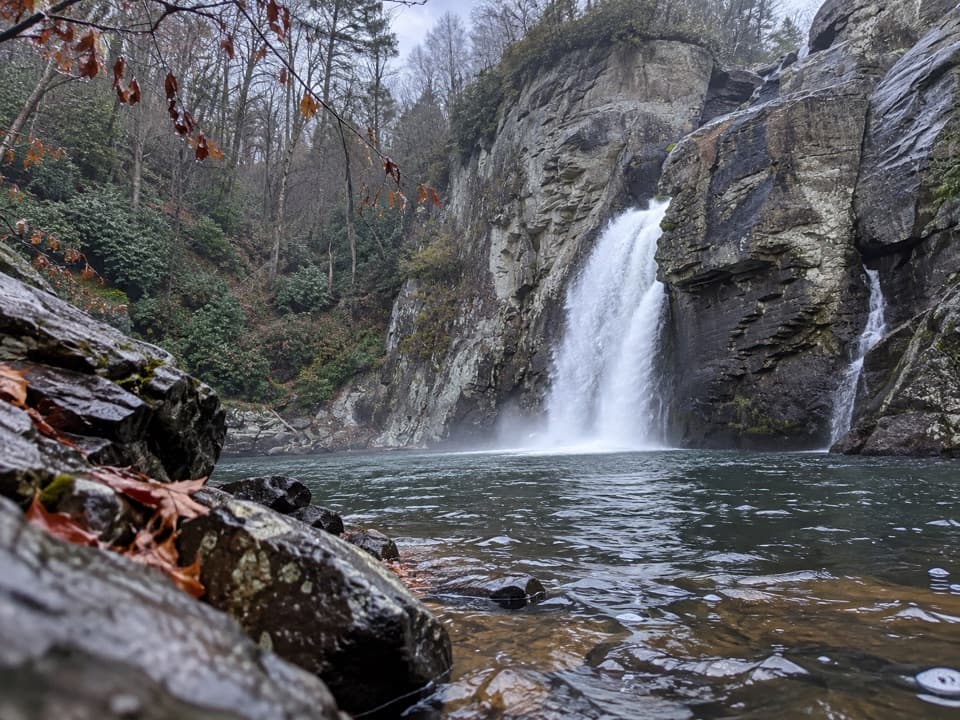 31Linville Gorge TrailA steep rock descent reaches the forceful lower falls.
 32Graveyard Fields Upper Falls TrailFollow the stream through open fields to a two-part waterfall.
 33Fallingwater Cascades TrailA creekside loop to layered falls, with a steep climb back.
 34Tanawha TrailA 13.5-mile traverse from boardwalk views to Price Park fields.
 35Second Falls TrailA short waterfall walk with a steep stair climb back.
 36Mount Mitchell TrailEarn the East's highest summit one switchback at a time
 37Basin Creek TrailA long creek hike to a cabin that survived the 1916 flood.
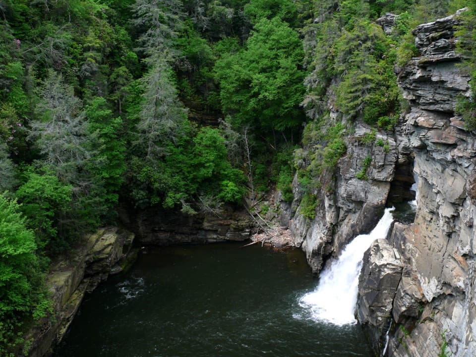 38Plunge Basin Overlook TrailA steep half-mile walk to the lower falls and Chimneys.
 39Art Loeb TrailA rugged 30-mile traverse over open balds and high ridgelines
 40Bass Lake Loop TrailA short, level lap beside Bass Lake.
 41Big Butt TrailA rocky ridge walk to Little Butt's view of Mount Mitchell.
 42Black Mountain Crest TrailTen peaks, fixed ropes, and a long descent to Bowlens Creek.
 43Cascades TrailA short wooded loop leads to two views over Falls Creek.
 44Skinny Dip Falls TrailA shaded walk to falls reshaped by the 2021 flood
 45White Rock Falls TrailA short streamside walk to small falls
 46Douglas Falls TrailA long forest descent to a 70-foot waterfall and hemlock groves.
 47Bluff Mountain Trail7.5 miles of ridge walking and broad Blue Ridge views
 48Rattlesnake Lodge TrailA wooded, steep climb to the ruins of a mountain retreat.
 49Devil's Courthouse to Black Balsam KnobA steep summit climb opens onto a quiet ridge of balsam forest.
 50Pilot Rock TrailA demanding climb to Pilot Rock’s broad mountain view.
 51Humpback Mountain TrailContinue beyond Humpback Rocks for summit views across northbound ridges.
 52Linn Cove Viaduct TrailA paved start, a rocky spur, and close viaduct views.
 53Balsam Nature Loop TrailA short loop into mossy spruce-fir woods near the summit.
 54Gully Creek TrailSeven crossings, cascades, and a steep climb on a rocky creek loop.
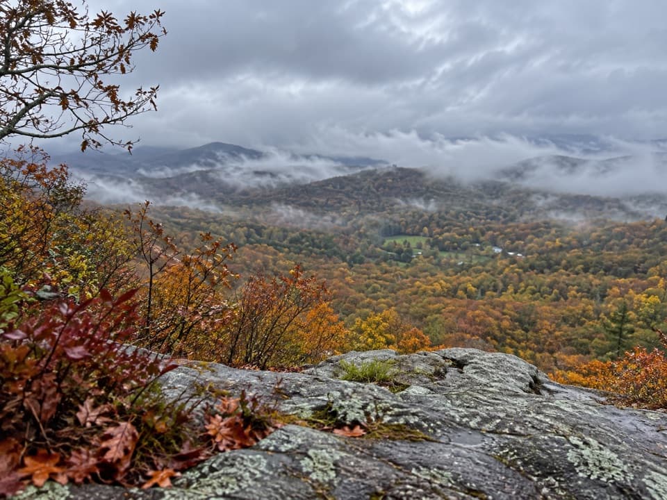 55Flat Rock TrailA short rocky loop to an open ledge above the Linville Valley.
 56Lane Pinnacle via Mountains-to-Sea TrailClimb to Lane Pinnacle along the Mountains-to-Sea Trail.
 57Johnson Farm Loop TrailA short loop from Peaks of Otter to a preserved mountain farm.
 58Green Knob Lookout TrailClimb to a 1931 fire tower and look toward the Black Mountains
 59Harkening Hill Loop TrailA wooded climb to a rocky summit and broad Blue Ridge views.
 60Green Knob TrailCreekside woods climb to open pasture and Green Knob.
 61Blue Ridge Pinnacle TrailA short, steep loop to a rocky Blue Ridge overlook.
 62Abbott Lake TrailWalk a level lake loop with Sharp Top across the water.
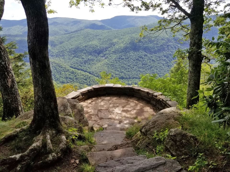 63Chestoa View TrailA short forest loop, with a 32-step spur to the stone balcony.
 64Flat Laurel Creek TrailA high-country creek walk on a former railroad grade.
 65Hanging Rock Trail via the Appalachian TrailA rocky AT walk ends on an open ledge above the Tye.
 66Trout Lake Loop TrailA quiet gravel loop circles a wooded lake on historic carriage roads.
 67Snowball Mountain TrailHard ridge miles lead to Hawkbill Rock and the old tower site.
 68Mine Bank Creek Trail to Saint Mary's FallsA 9.4-mile wilderness route to a waterfall and old mining traces.
 69Nuwati TrailFollow an old logging road to a ledge above Boone Fork Bowl.
 70Blackstock Knob via Mountains-to-Sea TrailA steep ridge climb with a view before the wooded summit.
 71Rich Mountain Carriage TrailA long carriage-road climb reaches an open summit pasture.
 72Lunch Rocks TrailA 4.8-mile MST out-and-back to a Haw Creek valley overlook.
 73Flat Rock Ridge TrailRidge views, steep descent, and a creek-side finish.
 74Buck Spring TrailA gentle forest walk to Vanderbilt’s former lodge site and valley views.
 75Blackrock Mountain TrailA rough ridge hike to an open summit with long mountain views.
 76Otter Creek TrailFollow Otter Creek from a campground to the James River valley.
 77Cragway TrailA steep, rocky mile with a wide view over Boone Fork Bowl.
 78Mount Hardy TrailA quiet summit climb with bogs, logging traces, and waterfall views.
 79Cedar Ridge TrailA steep forested descent ends on Grassy Gap Fire Road.
 80Shut-In TrailA full-day ridge descent with carriage-road history and valley views.
 81Old Mitchell TrailA rocky 4-mile out-and-back to the East’s highest summit.
 82Fodder Stack TrailA short forest walk for spring flowers and a clear valley view.
 83Mau-Har TrailCascades and creek crossings on a steep, rocky backcountry link.
 84Chestnut Ridge TrailA shaded loop with road crosscuts for shorter hikes.
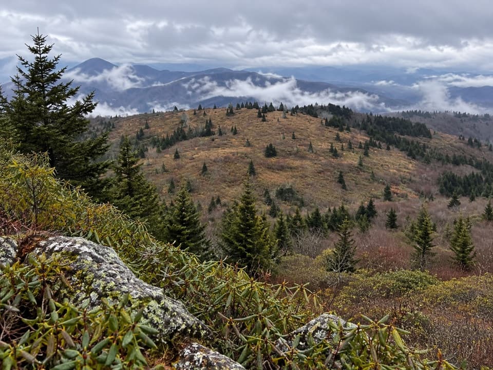 85Little Tablerock Mountain TrailA forest climb to a North Toe Valley overlook.
 86Jack Albright Loop TrailTake the optional Glass Hollow spur for a Rockfish Valley view.
 87Smart View Loop TrailA woodland loop connects Piedmont views with a historic cabin.
 88Ivestor Gap TrailA rough trail into the Shining Rock Wilderness.
 89Yellow Face TrailFaint ridge route to Yellow Face's heath bald, with views en route.
 90Cornelius Creek TrailA steep creek descent with cascades along the way.
 91Saddle Mountain TrailA moderate ridge loop with a spur to the Horn's dramatic crest.
 92Blue Ridge Parkway Visitor Center Loop TrailA short wooded loop with a Parkway underpass and a traffic crossing.
 93Otter Lake Loop TrailShort climbs, creek crossings, and old cabin stones beside a lake.
 94Bluff Ridge Primitive TrailA steep, rough descent into Basin Cove, and a punishing climb back.
 95Haywood Gap TrailA difficult, unblazed creek walk through Middle Prong Wilderness.
 96Whetstone Ridge TrailAn 11.3-mile ridge walk with a tricky final switchback descent.
 97Jumpingoff Rocks TrailA short forest walk to a wide Blue Ridge view.
 98Laurel Mountain TrailA long forest descent through mossy gaps to Yellow Gap Road.
 99James River TrailA quick James River crossing to a restored canal lock.
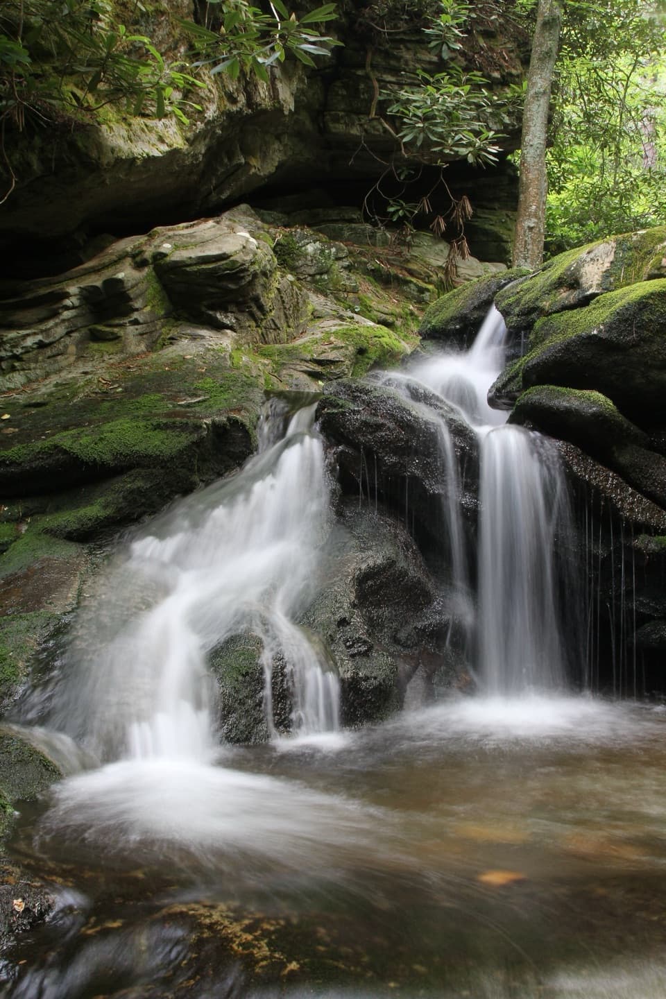 100Duggers Creek TrailA quarter-mile loop to a shaded cascade and its creekside bridge.
 101Mountain Farm TrailA gentle path through an 1890s Appalachian farmstead.
 102Bald Knob Ridge TrailA forested ridge walk with spruce, fir, and Black Mountains views.
 103Mabry Mill TrailA short paved loop through Mabry Mill's mountain past.
 104Woods Mountain TrailA long ridge hike to a wooded summit with wide mountain views.
 105Yankee Horse TrailA quick loop pairs a logging railroad relic with a small waterfall.
 106Trail of TreesA shaded tree loop with a James River water-gap view.
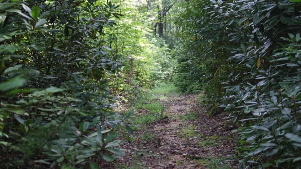 107Rose Creek TrailA short creekside walk with a Revolutionary War story.
 108Buckeye Gap TrailA remote 7.8-mile loop linking Buckeye Gap and Haywood Gap.
 109Spec Mine TrailA steep wooded track above the old iron mine workings.
 110Maze Carriage TrailA winding gravel carriage road through Moses Cone’s woods.
 111Torry Ridge TrailA 7-mile one-way ridge walk to Mount Torry Furnace
 112Forester's TrailFourteen forest stops make this short loop feel like a lesson.
 113White Rock Gap TrailA steep descent leads through forest to Upper Sherando Lake.
 114Grassy Gap Fire RoadA long, broad one-way descent through Doughton Park.
 115Commissary TrailFour miles out and back on the gentle old railroad grade.
 116Slacks Overlook TrailA wooded ridge walk from the overlook to White Rock Gap.
 117The Lump TrailA short grassy climb to a hilltop view over the Yadkin Valley.
 118Elk Run Loop TrailA short forest loop passes a cemetery near the far end.
 119Little Sam TrailA 1.37-mile link from the Mountains-to-Sea Trail to Flat Laurel Creek.
 120Hunting Creek TrailA steep climb to the Appalachian Trail, then back down.
 121Tompkins Knob TrailA quick forest walk to a preserved mountain cabin
 122Bridges Camp Gap TrailA short forest descent to a junction on the East Fork trails.
 123Roanoke Valley Horse TrailA moderate, wooded out-and-back shared with horseback riders.
 124Duncan Carriage TrailA historic carriage road that descends to Bass Lake.
 125Thunder Ridge TrailA tiny loop to a broad Arnold Valley overlook.
 126Watkins Carriage TrailA long carriage road through the historic Cone estate.
 127Deer Park Carriage, Horse & Hiking TrailA gravel carriage road descends toward Bass Lake through woodland.
 128Camp Alice TrailA steep, rocky half-mile between Old Mitchell and Commissary.
 129Bald Mountain TrailA moderate 4.4-mile out-and-back from Parkway milepost 22.
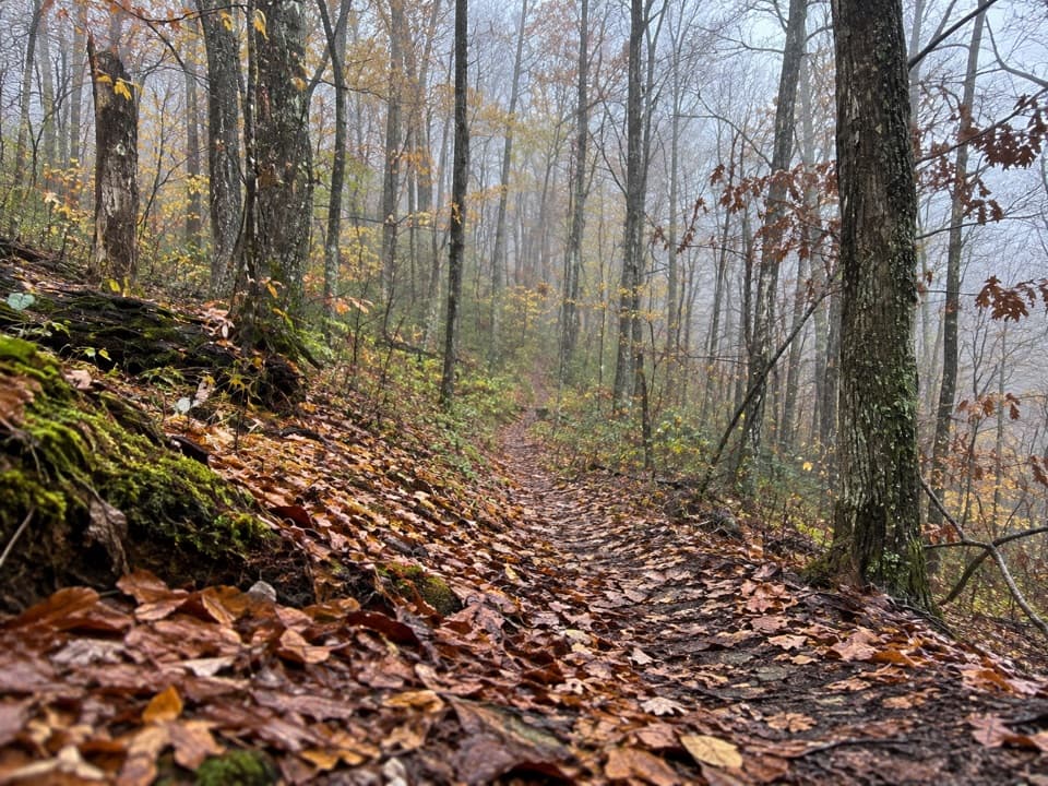 130Orchard TrailA wooded walk along a Revolutionary War route.
 131Catoctin Loop TrailA short gravel walk to a stone-walled valley overlook.
 132East Fork TrailA quick link from the overlook to a much bigger trail network.
 133Roanoke Mountain Summit TrailA short summit loop with a quick look across the Roanoke Valley
 134Figure 8 TrailA short, signed nature loop beside Moses Cone Manor.
 135Greenstone TrailQuick geology loop across greenstone to a Shenandoah Valley ledge.
 136Palmer's Pond TrailA short connector takes you past Palmer’s Pond between park paths.
 137Indian Gap TrailA short wooded loop circles huge boulders and a narrow rock opening.
 138Buck Mountain TrailA short forest climb for a peek toward the Roanoke Valley.
 139Big Spy Mountain TrailA grassy hilltop loop for open valley views and cloud watching.
 140Grassy Knob TrailA steep wooded climb to a signed summit.
 141Fox Hunters Paradise TrailA level, paved stroll to a stone deck above the ridges.
 142Little Glade Millpond TrailA quick, flat loop around an old millpond and creek.
 143Cold Prong Pond Loop TrailRhododendron shade meets an open meadow at the pond’s uncertain site.
 144Black Bottom Carriage TrailAn easy gravel carriage road through Moses Cone’s mountain estate.
 145John Rock Trail at John Rock ViewA quick, easy walk from the Parkway to a small viewpoint

The highest, rockiest slopes around here are a summer buffet for grizzly bears.
Blue Ridge Parkway Tour Guide
Blue Ridge Parkway, narrated.
Parkwolf is a GPS audio tour guide for Blue Ridge Parkway. As you drive, it chimes in with what’s ahead: hidden gems, upcoming stops, history, geology, and wildlife, right through your car’s speakers.
See the Blue Ridge Parkway audio tourRecorded for this place
Mabry Mill and the Mountain Trades0:00 / 0:32
“You're coming up on Mabry Mill, where the waterwheel and pond are only the start of the visit. Give it about half an hour and follow the short paved paths among the mill, sawmill, and blacksmith shop.”
Plays as you drive up to Mabry Mill in the Parkwolf Blue Ridge Parkway Tour Guide.
More stories near here in the app
- Follow the Chickadee Calls
- How Millstones Cut Grain
- Round Meadow: The Creek Beneath the Parkway
- The Village in the Gorge
- 298 audio storiesacross Blue Ridge Parkway’s roads, triggered by GPS as you drive
- Wildlife heatmapsfor Black Bear, Elk, White-tailed Deer, and 13 more
- Works offlinemaps, 145 trails, 251 places, and audio download before you lose signal
- CarPlay readysimple controls built for the drive
“…We knew we wanted to drive the Blue Ridge Parkway. The narration was impeccably timed. The facts and info provided were meaningful. Without it, the trip would not have been near as awesome.”

