Parking
Use the free Forestry and Land Scotland car park on the west side of the A84, at the south end of Strathyre. The loop crosses the main road before entering the forest.
Loch Lomond & The Trossachs National Park, SC
A short loop climbs past waterfalls into native pinewood
Overview
Map & elevation
Plan your hike

The highest, rockiest slopes around here are a summer buffet for grizzly bears.
Loch Lomond & The Trossachs Tour Guide
Parkwolf is a GPS audio tour guide for Loch Lomond & The Trossachs National Park. As you drive, it chimes in with what’s ahead: hidden gems, upcoming stops, history, geology, and wildlife, right through your car’s speakers.
Recorded for this trailhead
Strathyre and Tighanes Burn“You're approaching Strathyre, where the Tighanes Burn Trail starts from the village car park.”
Plays as you drive up to this trailhead in the Parkwolf Loch Lomond & The Trossachs Tour Guide.
More stories near here in the app
“Fantastic app with many points of information… It’s great to just turn on while you’re driving and it gives you an audio tour of the national Park. We love it!!!!”


Trail guide
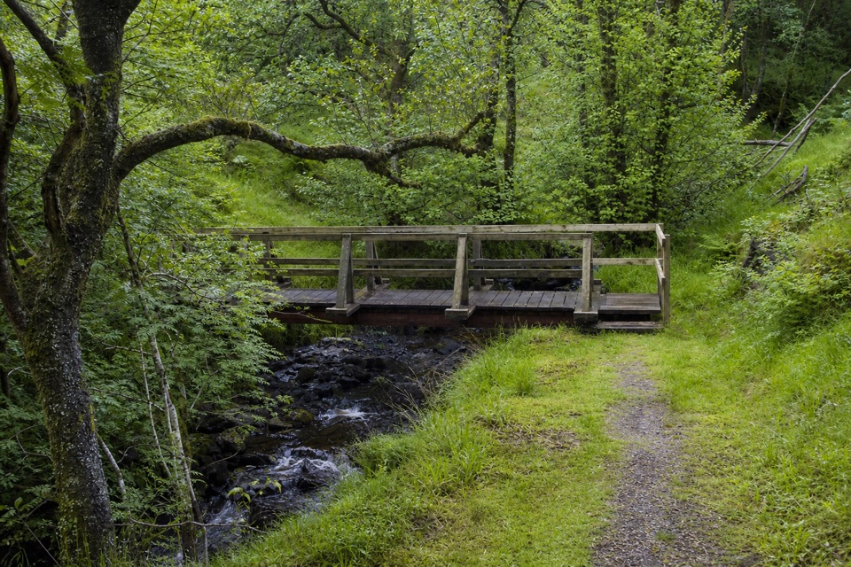
The Tighanes Burn Trail is a 1¾-mile (3 km) loop from Strathyre village car park into Scots pine forest. It follows the burn past waterfalls, climbs to views across to Ben Vane and the Braes of Balquhidder, then returns through the woods. Allow about 1½ hours. It is a short walk with a steep middle: the steep section runs for about 400 m, and the narrow earth-and-grass path can be muddy.
From the car park, the circuit crosses village paths and the A84 before entering the forest. The route stays close to Tighanes Burn, with a bridge and waterfalls along the climb. Higher up, yellow waymarks guide the loop’s return. A side path on the descent leads into Coille MacCaskill, a native pinewood grove dedicated to local forester and naturalist Don MacCaskill; that is an extension outside the measured loop. Red squirrels and deer live in the woods, and jays and buzzards are worth listening for.
The Forestry and Land Scotland car park is free, on the west side of the A84 at the south end of Strathyre. The loop crosses the road, so take care there. The village has a café and shop close by, but neither is on the forest path. Beside the car park, a reconstructed section of an Iron Age broch makes a quick extra stop before or after the walk.
Wildlife
 14 sightingsGolden EagleMost seen around 6 PMSighting map
 37 sightingsRed DeerMost seen around 7 PMSighting map
 100 sightingsMute SwanMost seen around 11 AMSighting map
 48 sightingsOspreyMost seen around 6 PMSighting map
 24 sightingsEurasian BeaverMost seen around 8 PMSighting map
 37 sightingsEurasian Pine MartenMost seen around 7 PMSighting map
Sighting maps show where each species has been reported across Loch Lomond & The Trossachs. Wildlife moves, so no sighting is guaranteed.
Keep exploring
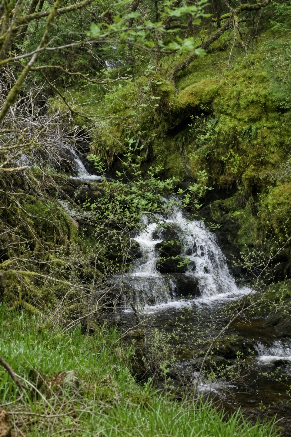 ModerateTighanes Burn Trail2.8 km · 1.5 hr · At the trailheadSteep woodland loop to waterfalls and views across Balquhidder.
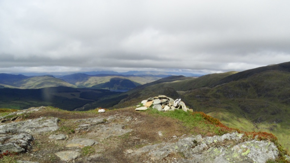 ChallengingBeinn Each6.8 km · 4 hr · 3.8 km awayA steep Corbett climb to a tiny cairn and wide Forth views
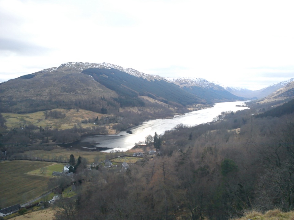 ModerateCreag an Tuirc2.5 km · 1.3 hr · 4.8 km awayA steep climb to the MacLaren clan’s old rallying crag.
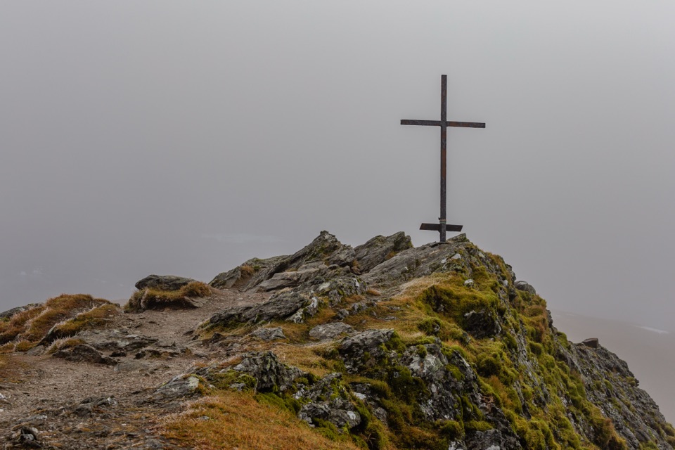 ChallengingBen Ledi Summit Walk7.6 km · 4.5 hr · 8.2 km awaySteep climb to a memorial cross and broad Trossachs views
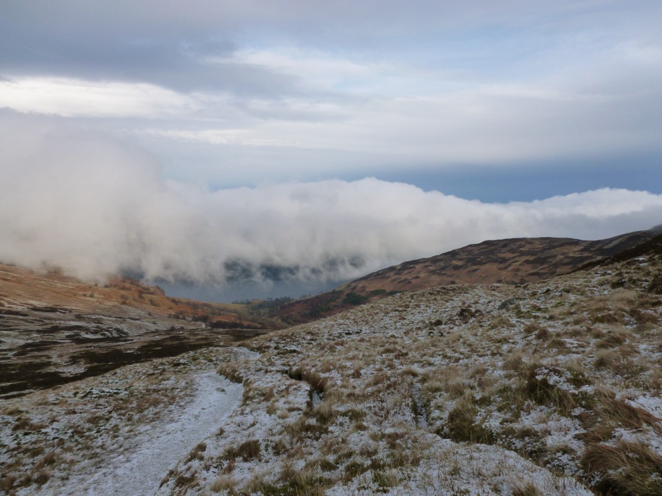 ChallengingBen Vorlich from Loch Earn9.7 km · 5.7 hr · 9.5 km awayA Munro climb with a steep scree ridge above Loch Earn
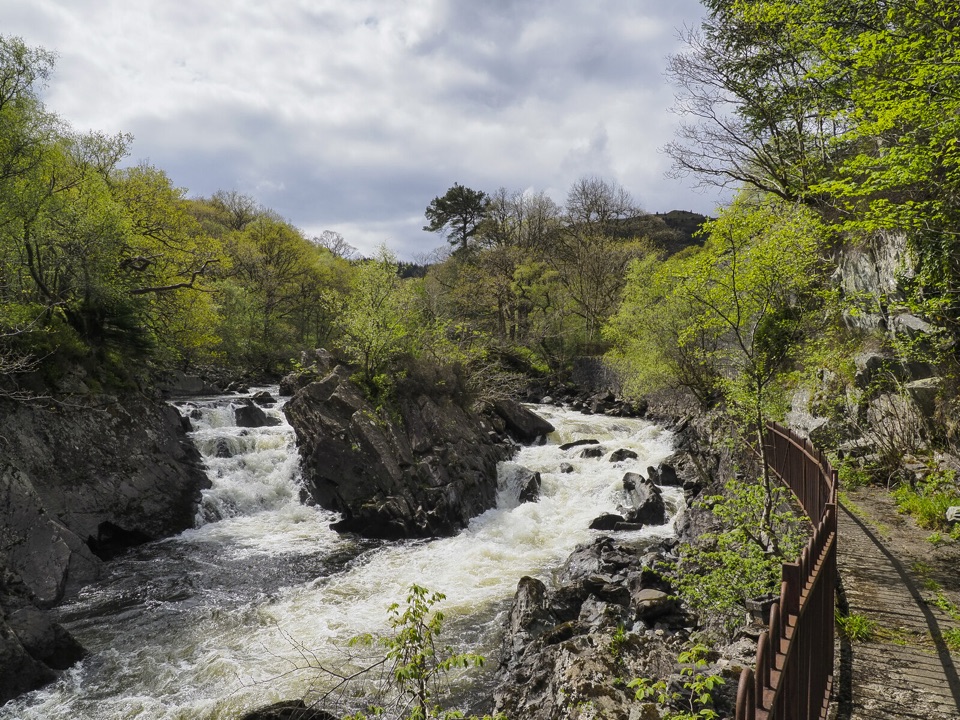 ModerateBochastle and the Falls of Leny7.6 km · 2 hr · 9.9 km awayA forest loop with glen views and a detour to the Falls.
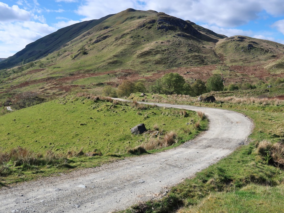 ChallengingThe Meall Circuit27 km · 7 hr · 10.4 km awayA remote full-day circuit over Glen Meann’s high ground.
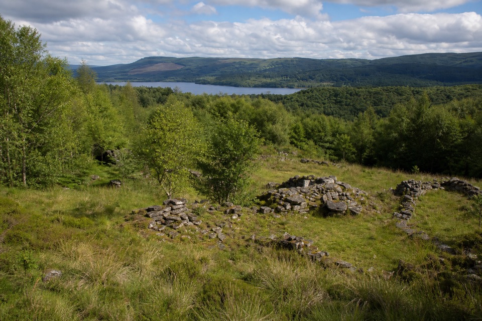 ModerateDrippan Trail0.9 km · 30 min · 10.4 km awayA short, steep loop reaches farm ruins above Loch Venachar.
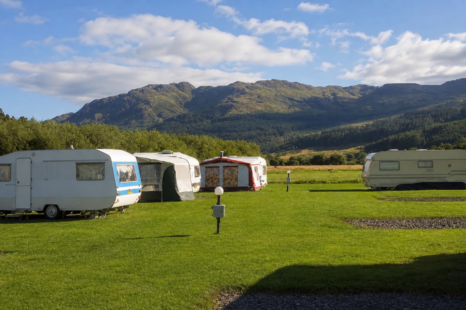 Campground · 0.5 km awayImmervoulin Caravan & Camping ParkA riverside campsite with mountain views and a walk to Loch Lubnaig.
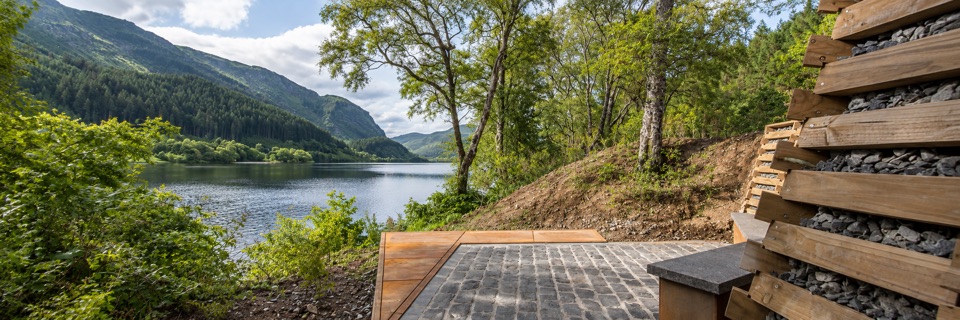 Sight · 4.4 km awayFaerie Hollow — Loch LubnaigVerse in metal tucked in a faerie hollow facing Ben Ledi
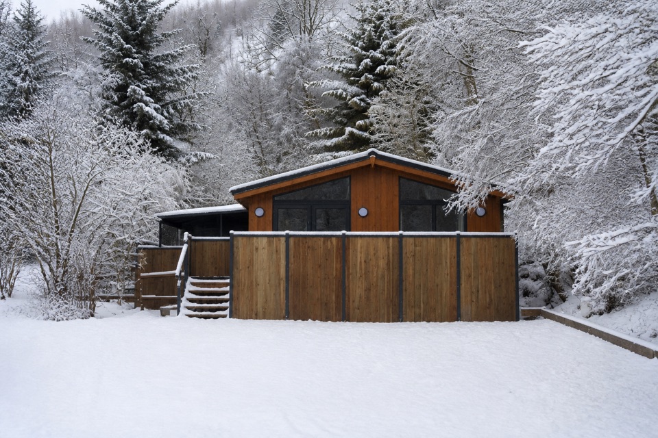 Lodging · 4.5 km awayBalquhidder Braes Holiday ParkHillside lodges with hot tubs beside the Rob Roy Way.
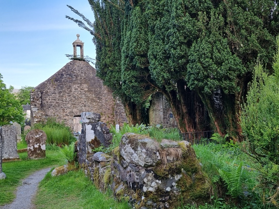 Sight · 4.8 km awayRob Roy’s Grave and Balquhidder Old KirkRob Roy’s grave beside a roofless old kirk in Balquhidder Glen
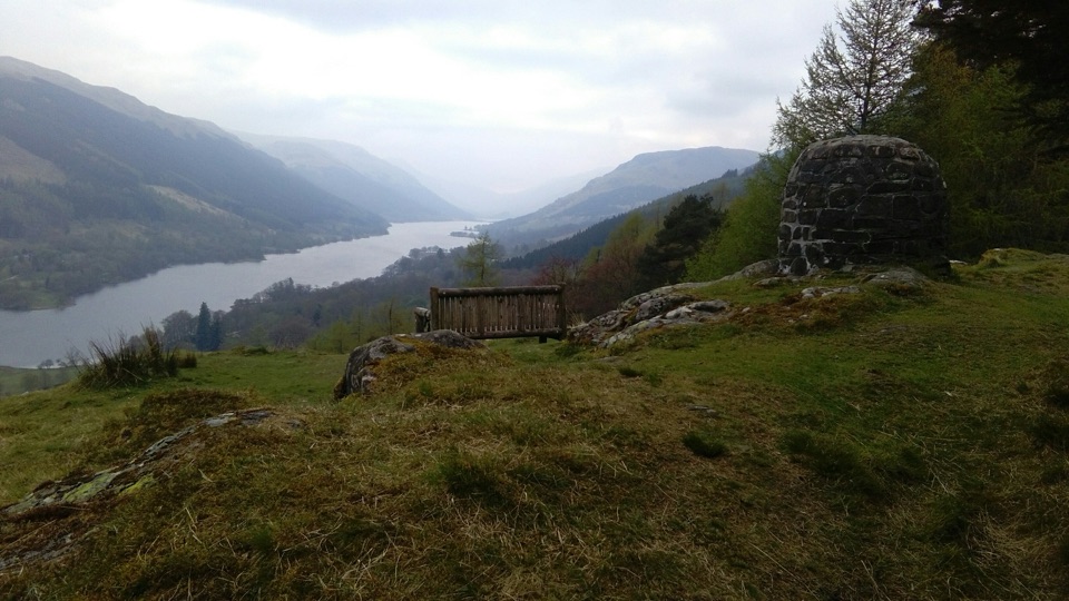 Sight · 4.9 km awayCreag an Tuirc ViewpointA short climb to Loch Voil views and Clan MacLaren history
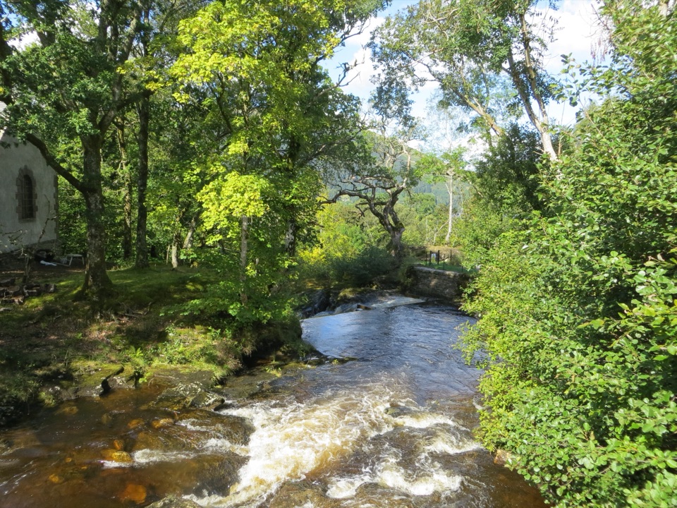 Sight · 6.9 km awayFalls of EdinampleA wooded Loch Earn waterfall with a folklore-rich Gaelic name.Sight · 8.6 km awayFalls of Leny ViewpointFoaming rapids split around a huge rock in a wooded gorge
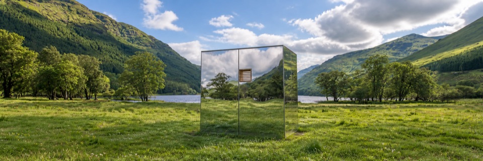 Sight · 8.7 km awayLookOut — Loch VoilMirrored cabin between two lochs, framing views while nearly vanishing
Parkwolf’s Loch Lomond & The Trossachs ranking

The audio tour guide for the drive, plus offline maps, trails, and wildlife heatmaps for when the signal drops.





