
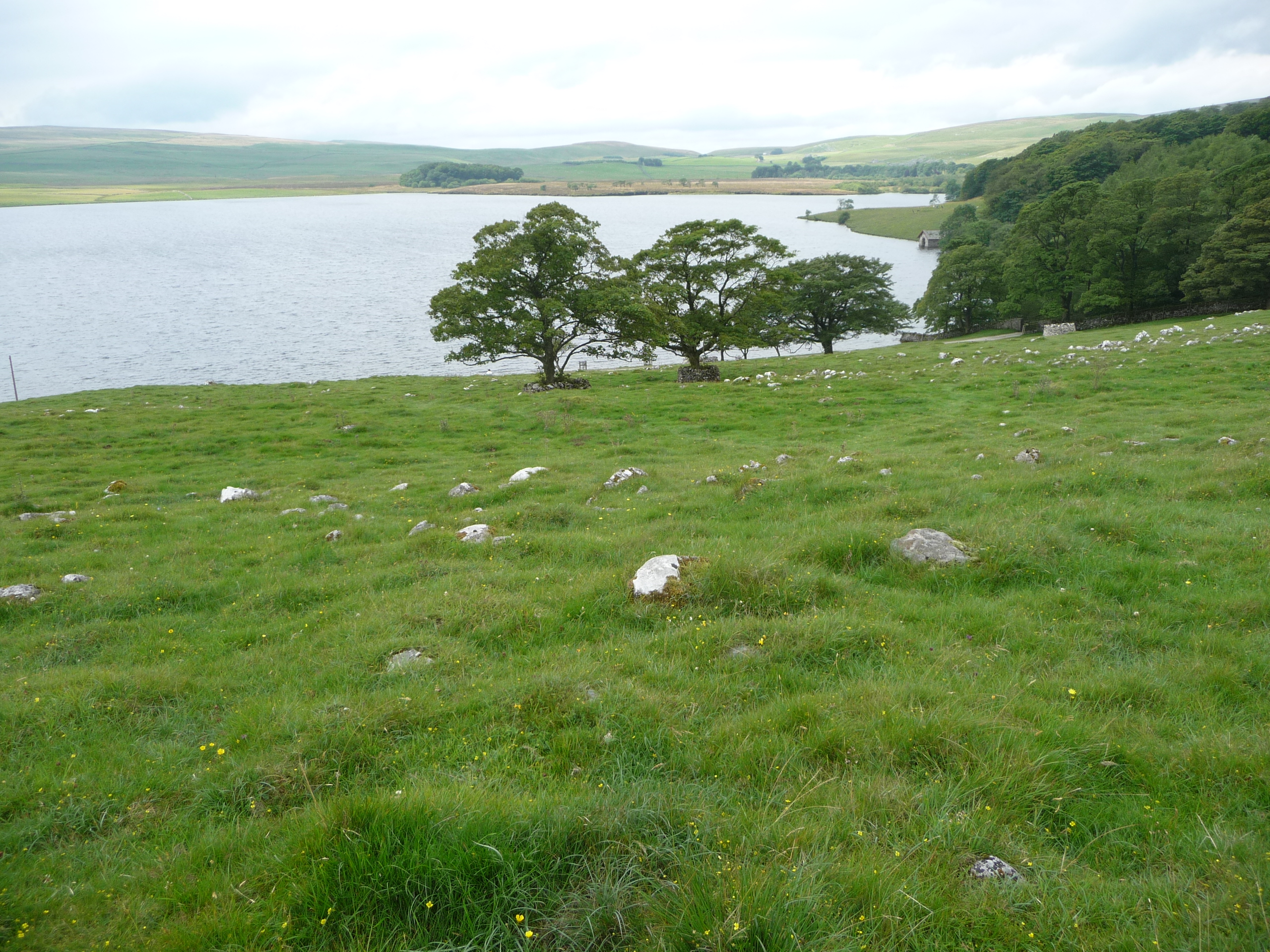
All Yorkshire Dales trails
99 trails
 1Yorkshire Three Peaks CircularThree fell summits, 24 miles and 5,000 feet in one long day
 2Malham Landscape TrailWaterfall, limestone gorge and a towering cove on one 4.5-mile loop
 3Ingleton Waterfalls TrailTicketed 4.3-mile loop past Thornton Force through two wooded gorges
 4Pen-y-ghent CircularSteep wall-side climb to a flat-topped summit, then a walled lane home
 5Ingleborough from ClaphamGorge, cave mouth and limestone pavement on a big 723m summit day
 6Whernside CircularSteep ridge loop from Ribblehead Viaduct to a 736 m fell summit
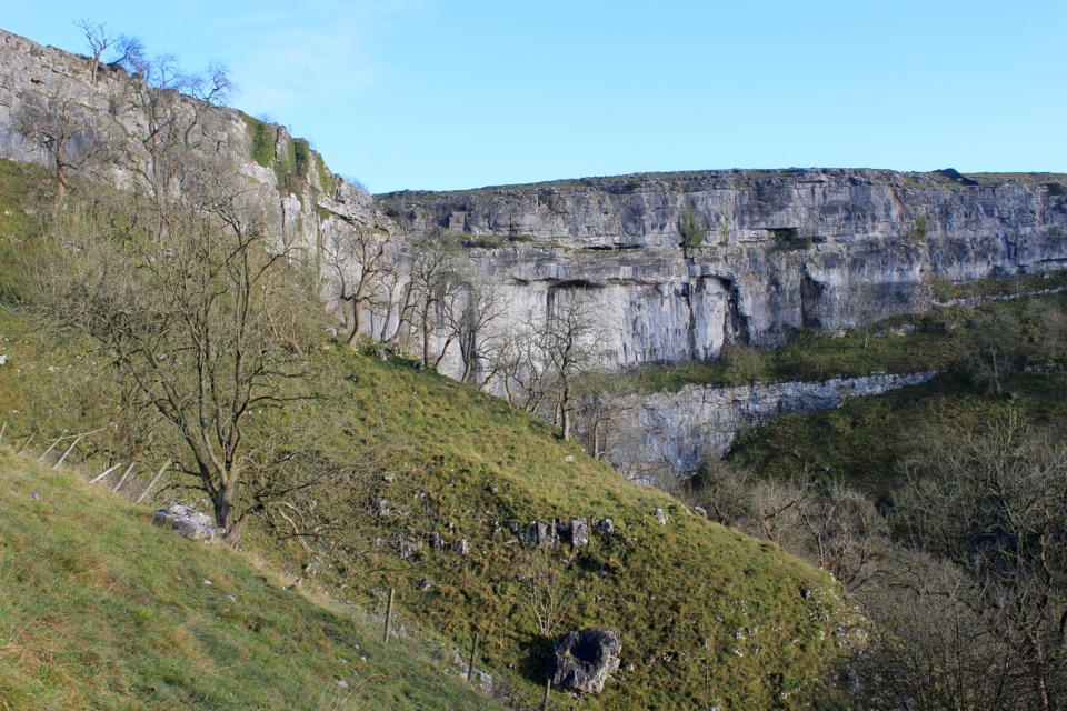 7Pennine WayEdale to Kirk Yetholm: 268 miles of bog, flagstone and high moor
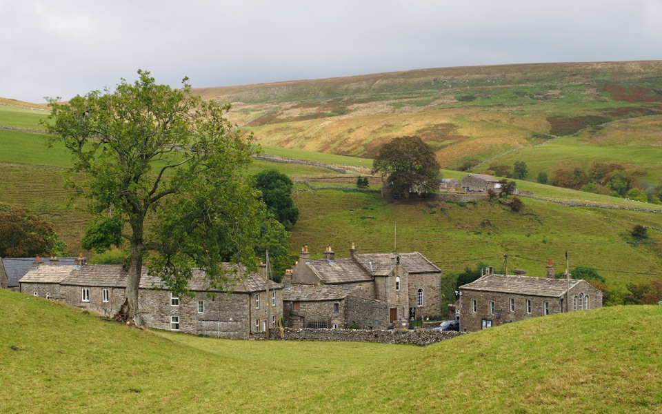 8Coast to Coast Path190 one-way miles from Irish Sea surf to heather moor and cliff
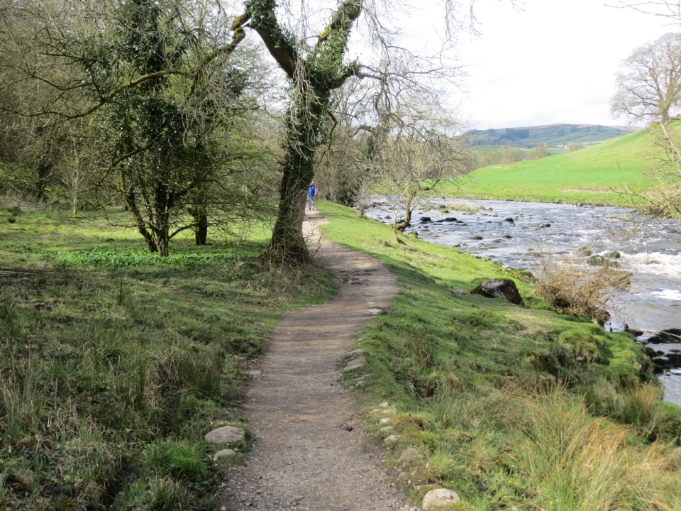 9Dales WayEighty miles of riverside dales, high watershed and a Windermere finish
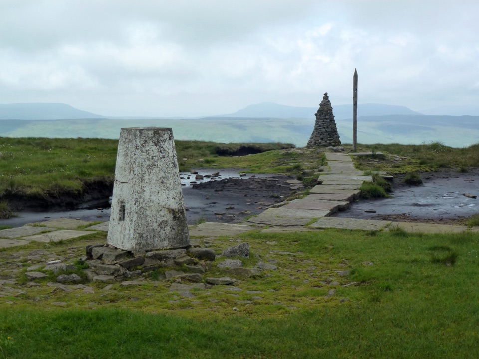 10Buckden Pike and the Polish MemorialClimb a Roman road to a 702 m summit and airmen's memorial
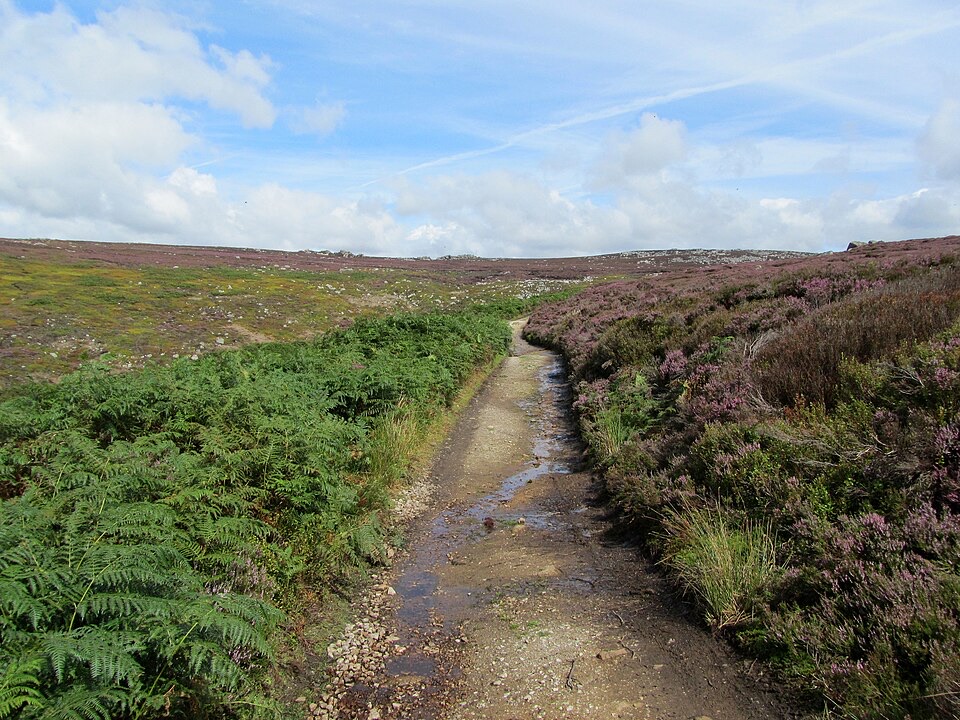 11Simon’s Seat and the Valley of DesolationWaterfall glen, open moor and a 485 m gritstone summit above Wharfedale
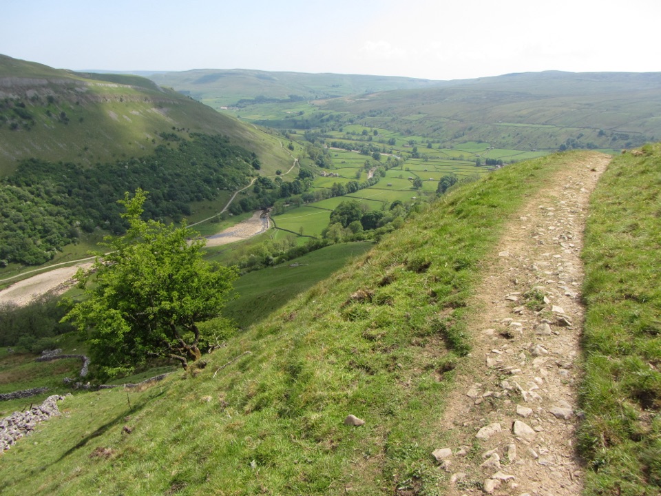 12Muker, Keld and the Corpse WayMeadows, waterfall detour and a hard climb on the old Corpse Road
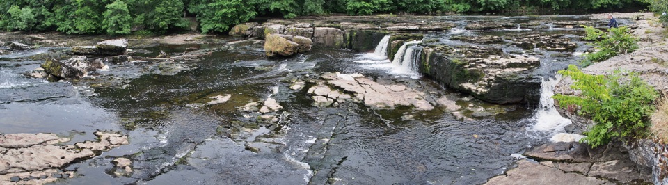 13Aysgarth Woods and WaterfallsWoodland paths and open fields loop back past three thundering Ure falls
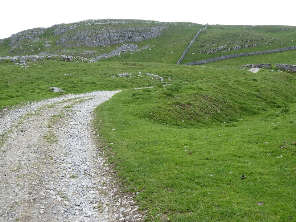 14Settle and Attermire ScarSteep climb from town to limestone crags, caves and wide views
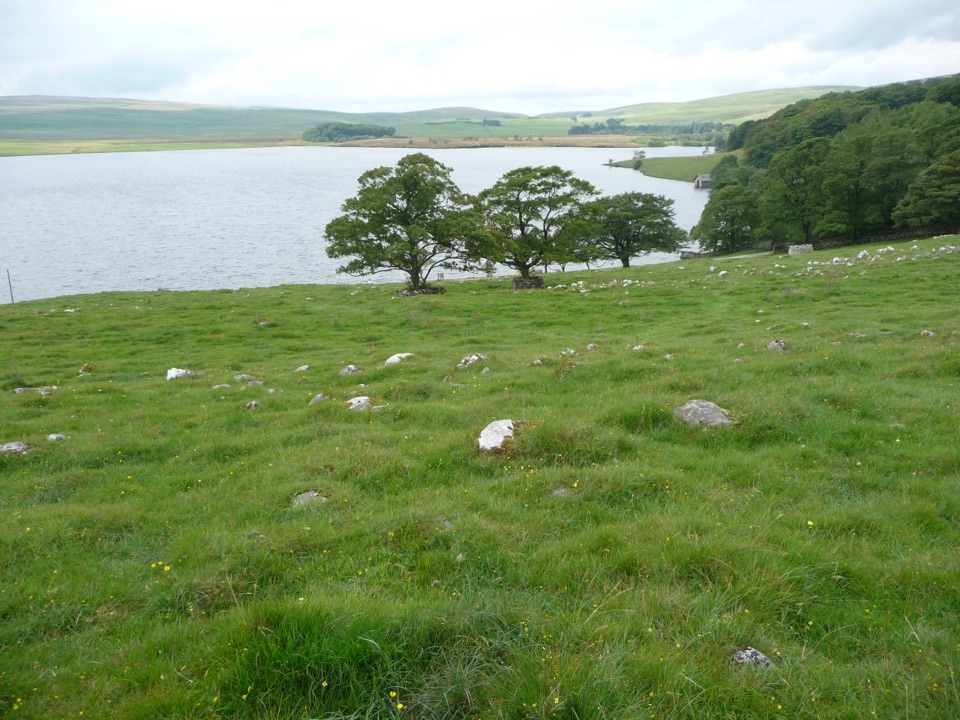 15Malham Tarn Upland Farm Circular WalkChallenging 4.5-mile tarn loop on rough grass to a smelt-mill chimney
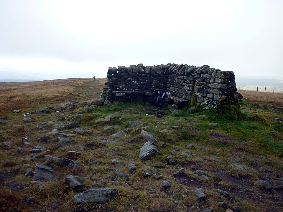 16Great Shunner FellSteady Pennine Way climb from Hardraw to an exposed summit shelter
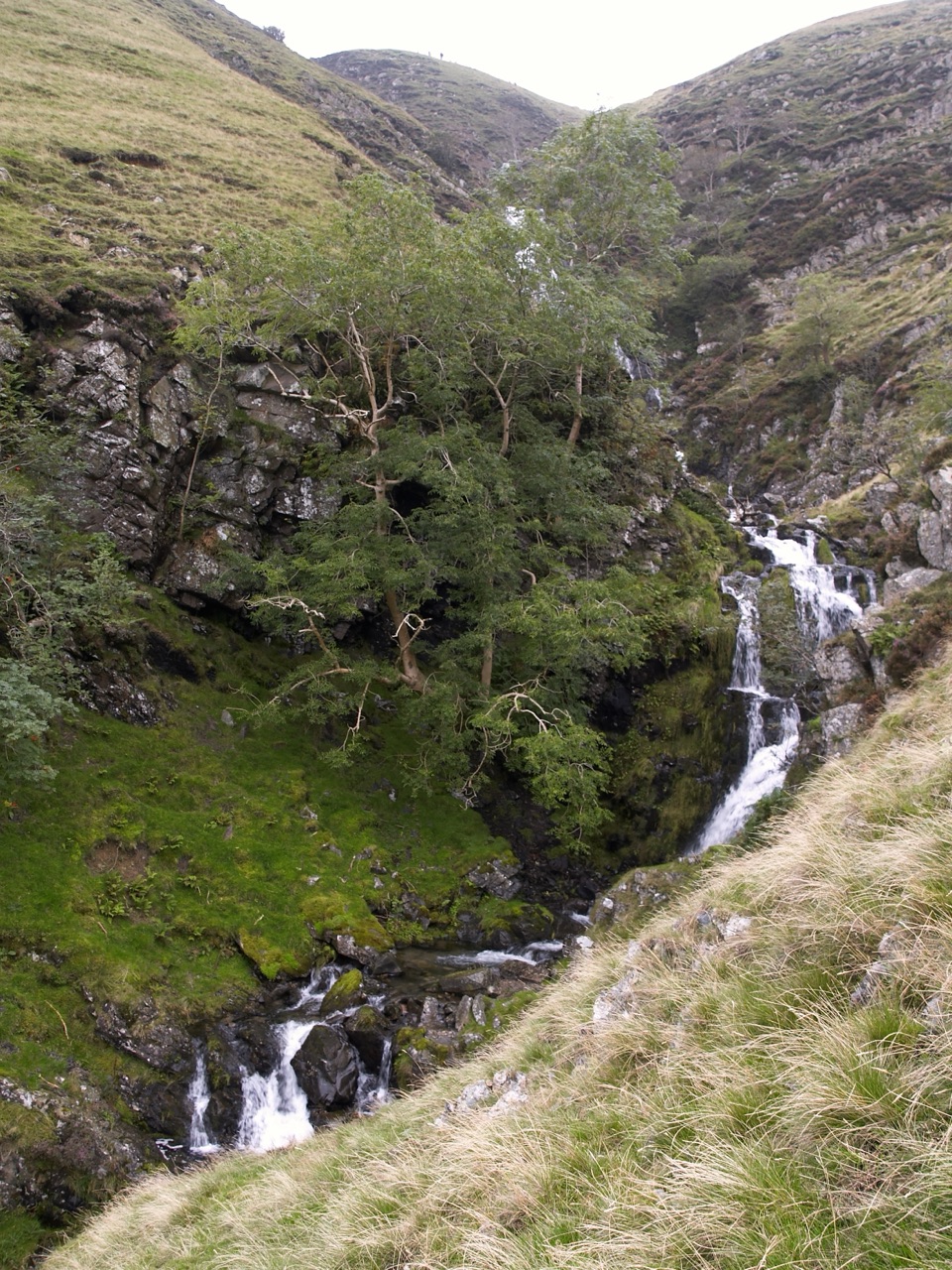 17Cautley Spout and The Calf CircularClimb beside a spectacular waterfall to the Howgill Fells' highest summit
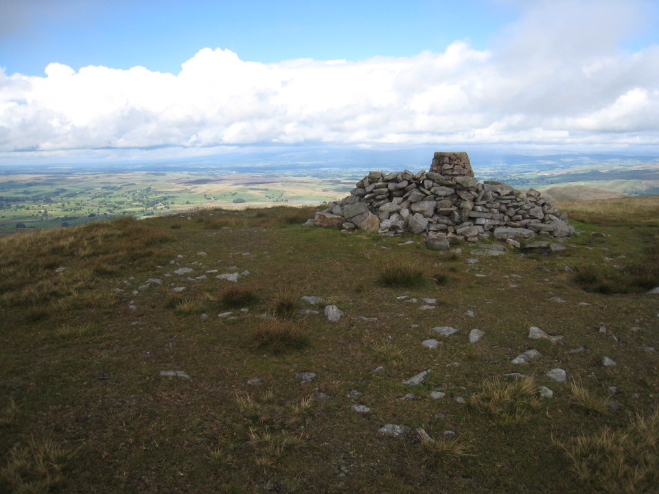 18Wild Boar FellAiry 708 m plateau above Mallerstang, hidden tarn, waterfall finish
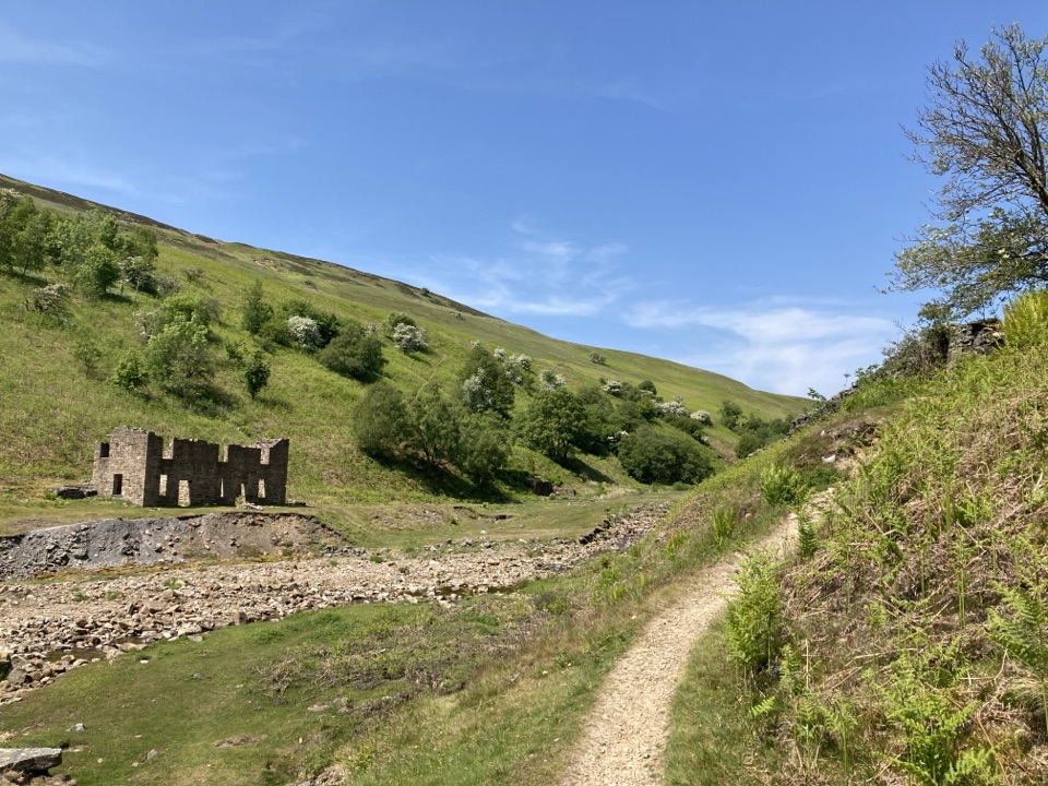 19Gunnerside Gill CircularLead-mining ruins deep in a steep gill, with an airy return track
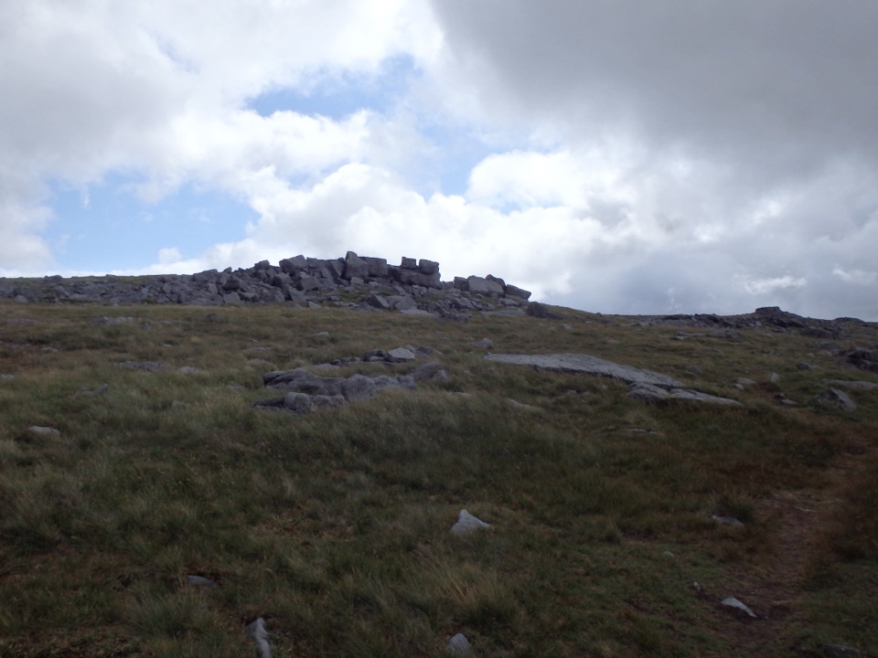 20Great Whernside from KettlewellCave mouth, hilltop hostel, then 704 m of rocky Wharfedale fell
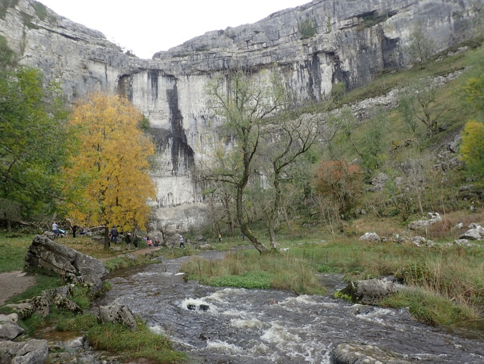 21Malham Cove Accessible WalkAccessible path to the foot of a 70-metre limestone amphitheatre
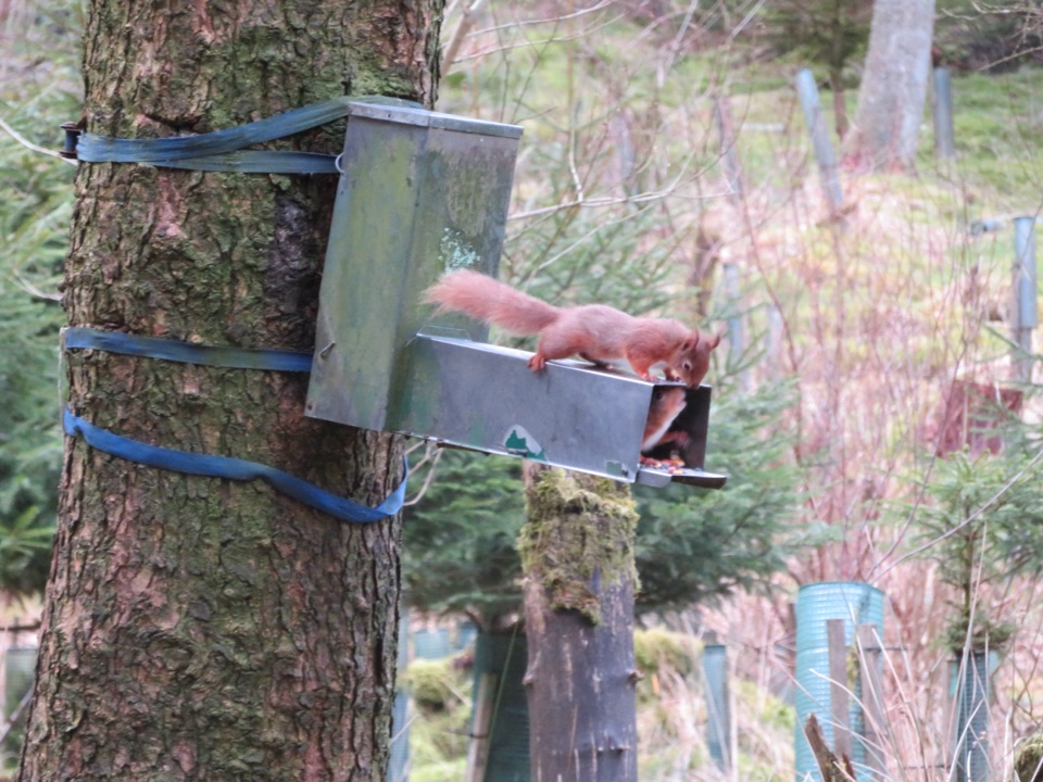 22Snaizeholme Red Squirrel TrailSteep, muddy and worth it for a chance of red squirrels
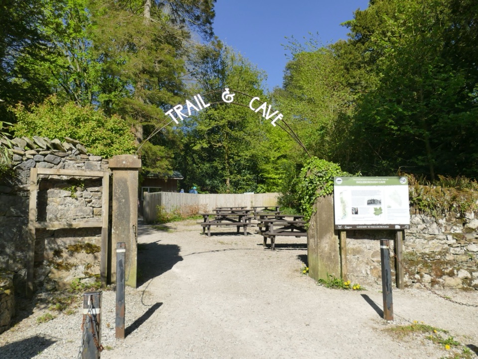 23Ingleborough Estate Nature TrailGentle 1.3-mile beck-side woodland walk to a dramatic cave mouth
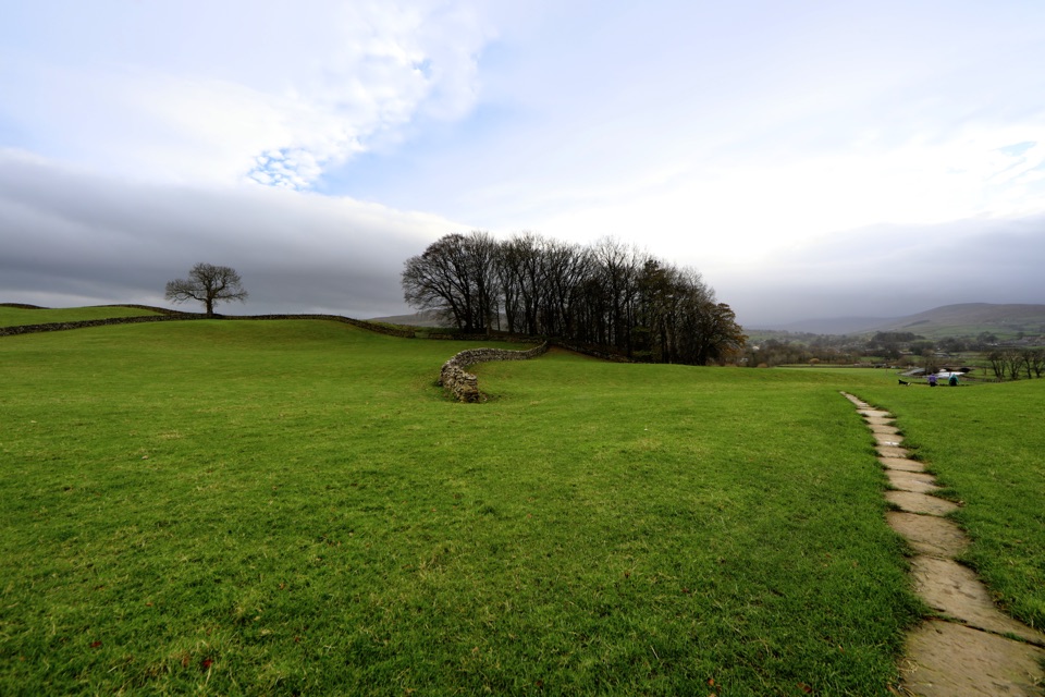 24Hawes to Sedbusk CircularHay meadows, field barns and a packhorse bridge on a short loop
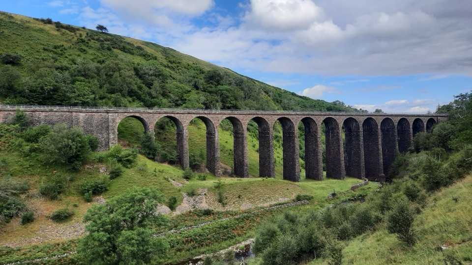 25Smardale Gill WalkA 14-arch viaduct, beckside pasture and open fell in one figure-of-eight
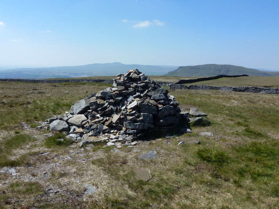 26Fountains Fell TrailQuiet 668m moorland circuit with cairns, old coal pits and wide views
 27Penhill Preceptory and Crags LoopClimb past Templar ruins to airy Penhill crags and Wensleydale views
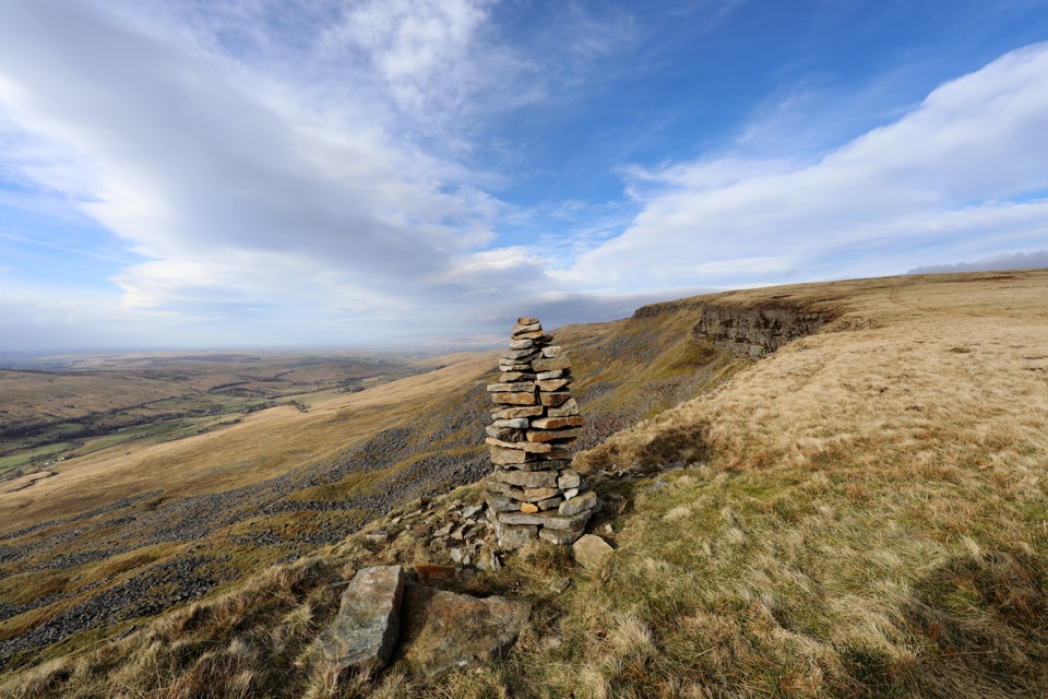 28Mallerstang Edge and High Seat CircularOpen-moor climb to a broad escarpment, then a steep pathless gill descent
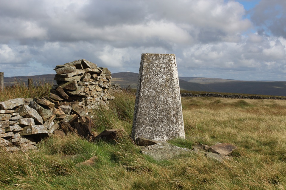 29Aye Gill Pike from DentQuiet ridge climb above Dentdale to a trig point with big views
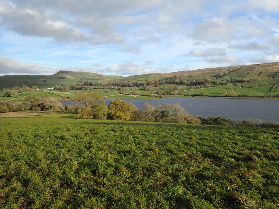 30Semerwater and Raydale CircularLakeside nature reserve first, then a steep climb to high views
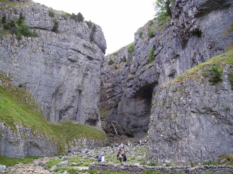 31Gordale Scar Accessible WalkWheelchair-friendly path to a towering limestone gorge and its waterfalls
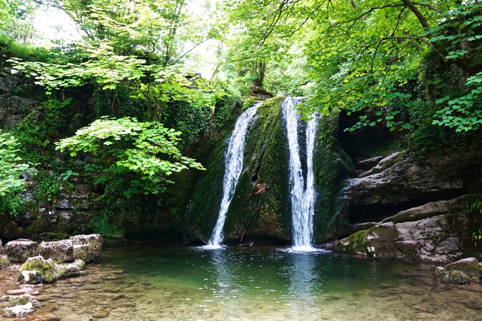 32Malham Village to Janet’s FossBeckside path to a small woodland waterfall steeped in fairy folklore
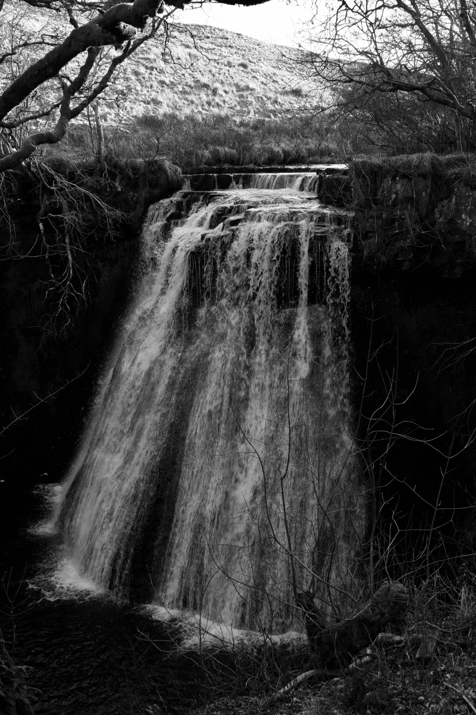 33Hawes and Aysgill ForceCobbled lanes and steep steps to a gorge waterfall above Gayle
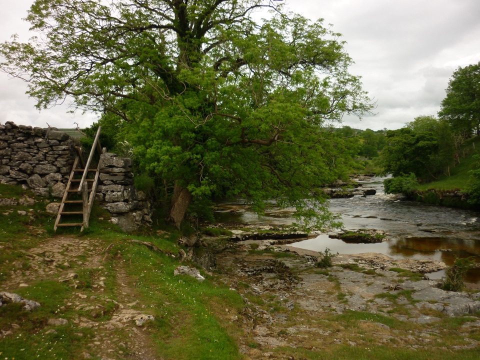 34Grass Wood CircularRiver gorge, waterfall and limestone woodland in one Wharfedale loop
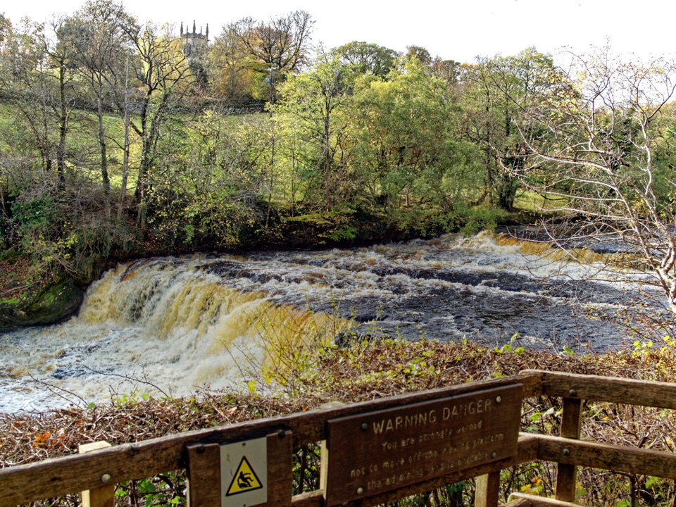 35Aysgarth Falls Accessible WalkFirm woodland path to a Middle Falls viewing platform, then back
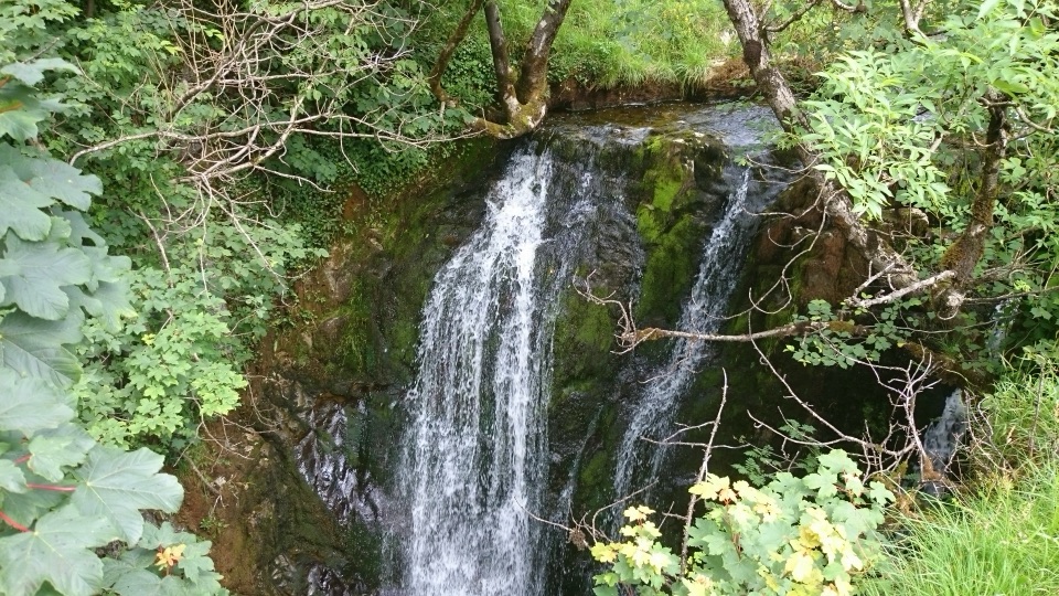 36Stainforth and Catrigg ForceLimestone stairway climb to a quiet wooded waterfall above Ribblesdale
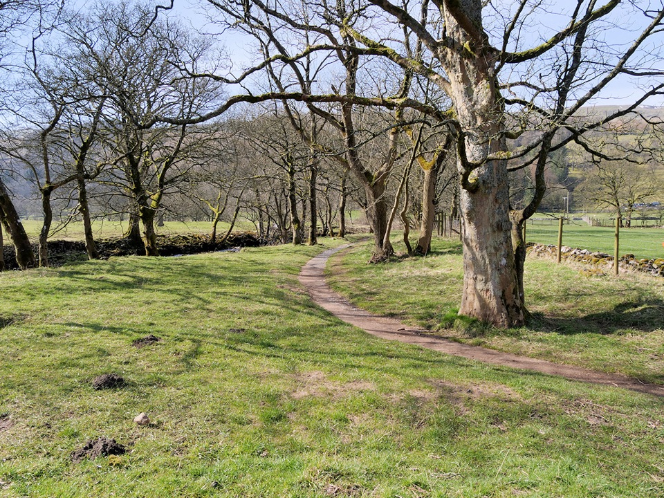 37Buckden to Cray to Hubberholme CircuitSteep fell climb, high Wharfedale views, then a riverside walk back
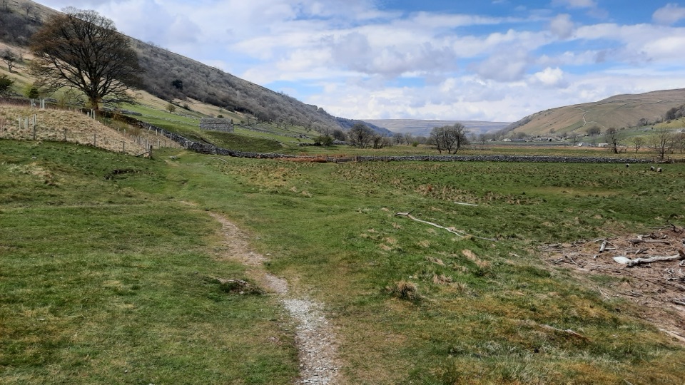 38Kettlewell to Starbotton CircularClimb high above Upper Wharfedale, then stroll back along the River Wharfe
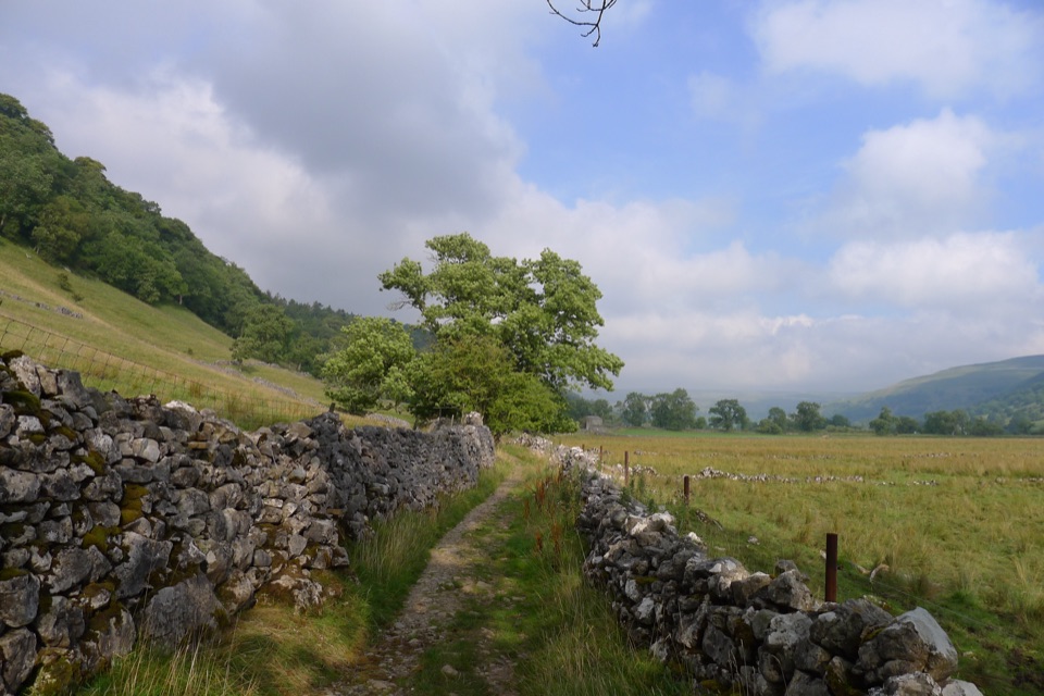 39Buckden to Starbotton Hillside and River WalkSteep fellside climb to Starbotton, easy Wharfe riverside path home
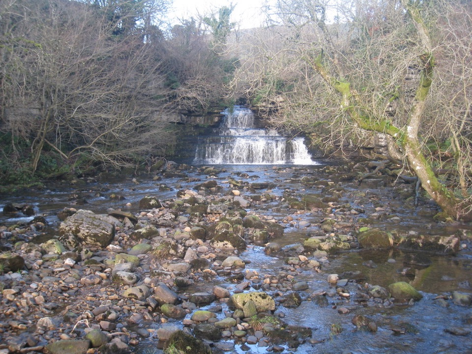 40Cotter Force Accessible WalkHalf a mile of graded gravel to six gentle waterfall cascades
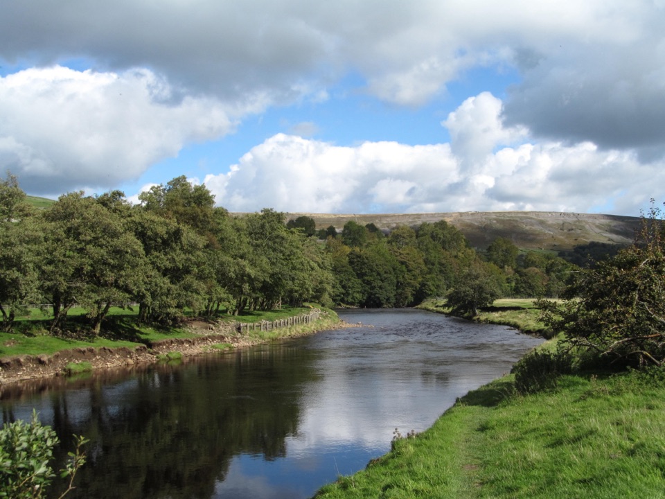 41Reeth and Healaugh CircularVillage lanes and field paths to Healaugh, with a riverside return
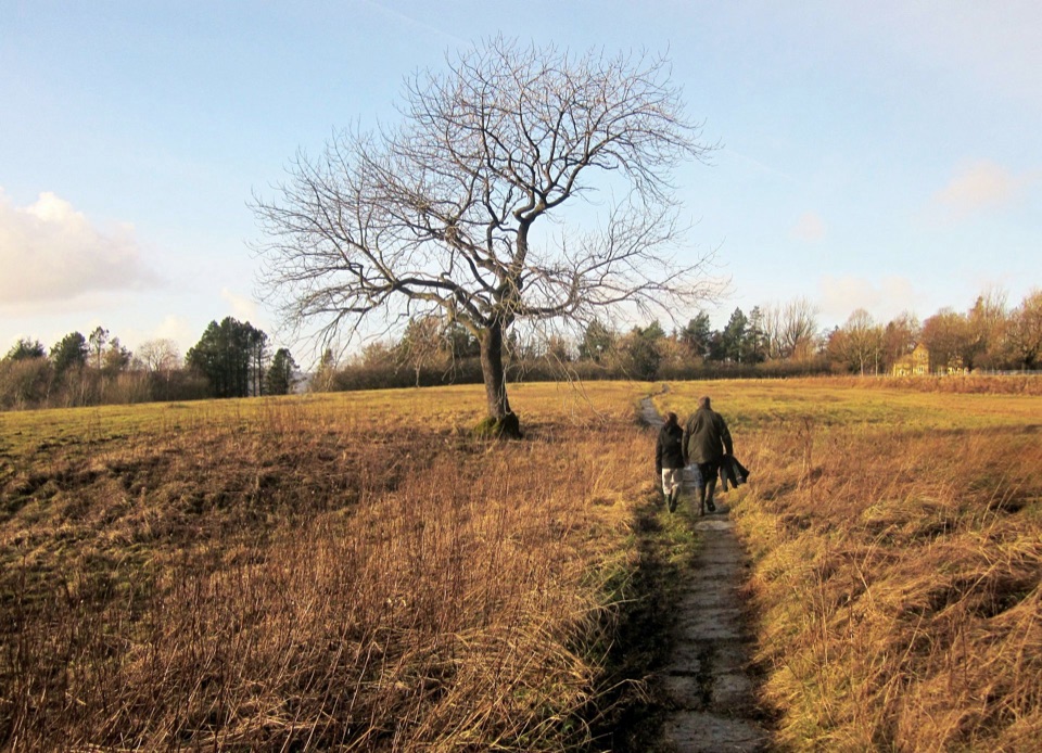 42Grassington MeadowsFlower-rich hay meadows, stone stiles and the falls at Linton
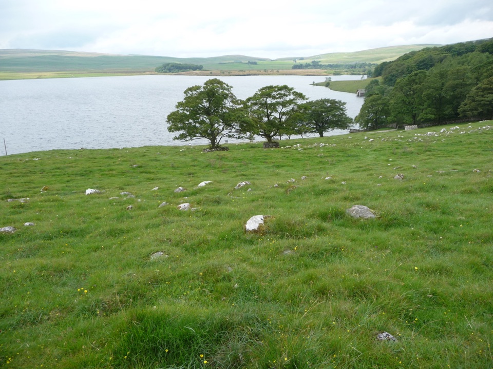 43Malham Moor CircularA quiet 3.5-mile moor loop above the tarn, map skills required
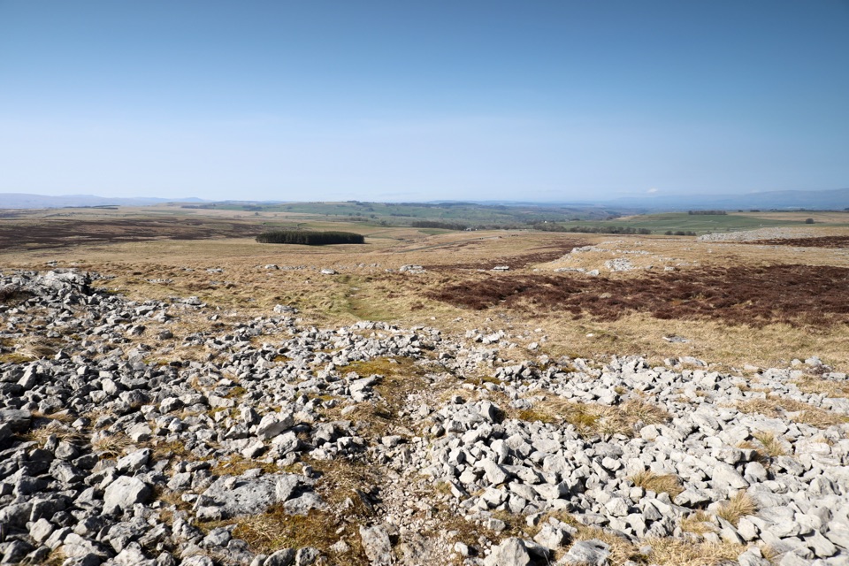 44Orton Scar WalkLimestone pavement, a hilltop beacon and a stone circle in one loop
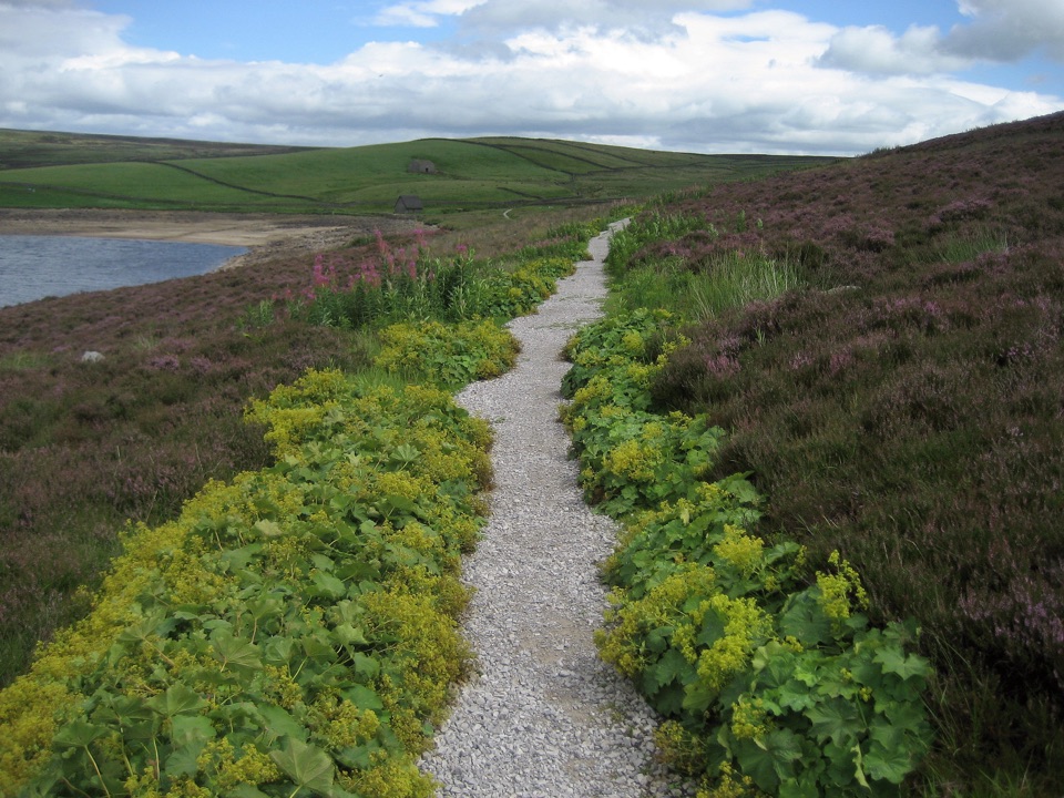 45Grimwith Reservoir Accessible WalkWide shoreline track to open water, wildfowl and fell views, no stiles
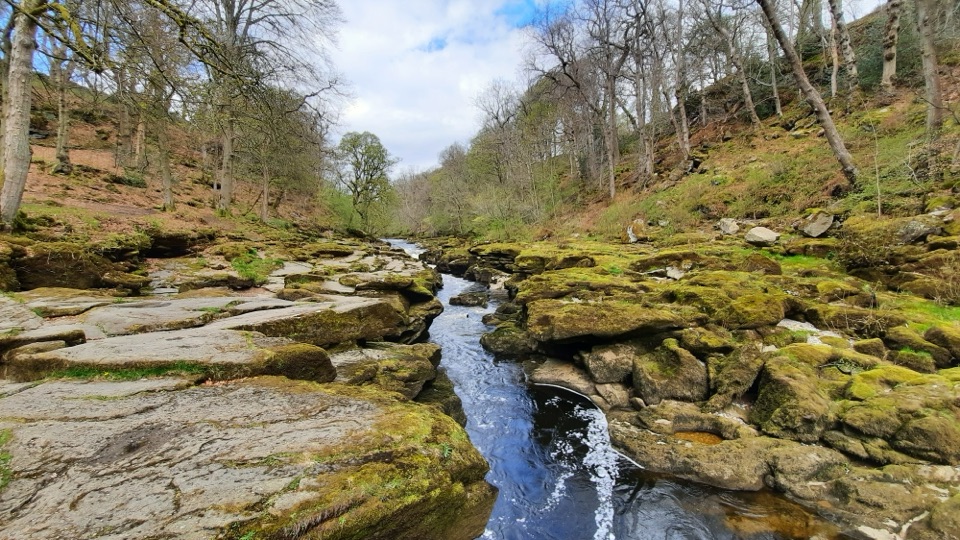 46Bolton Abbey Accessible WalkCompact stone path through ancient oak woodland to the dangerous Strid
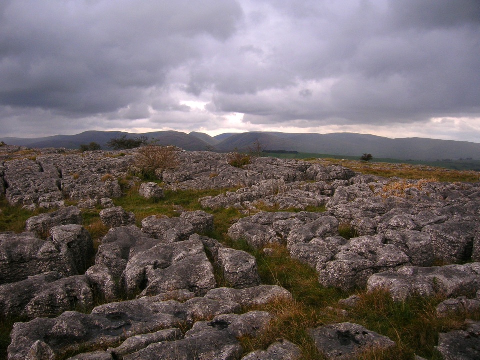 47Great Asby Scar WalkLimestone pavement, a Romano-British fort, and wide 412 m summit views
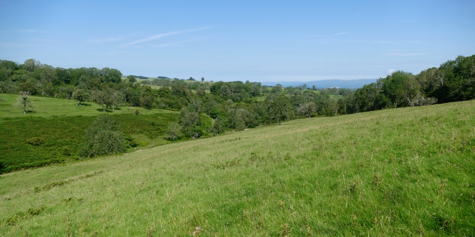 48Lyvennet Valley WalkLimestone valley loop past cairns, wells and an ancient settlement
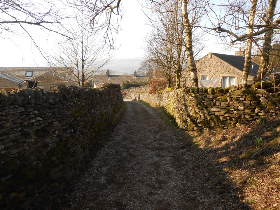 49Grassington to Hebden CircularPackhorse lanes, hay meadows and a steady climb to Edge Lane views
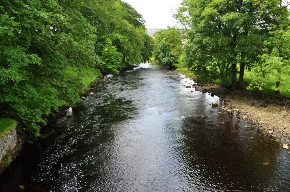 50Horton-in-Ribblesdale to Settle WalkRibble-side valley walk from Horton station down to Settle station
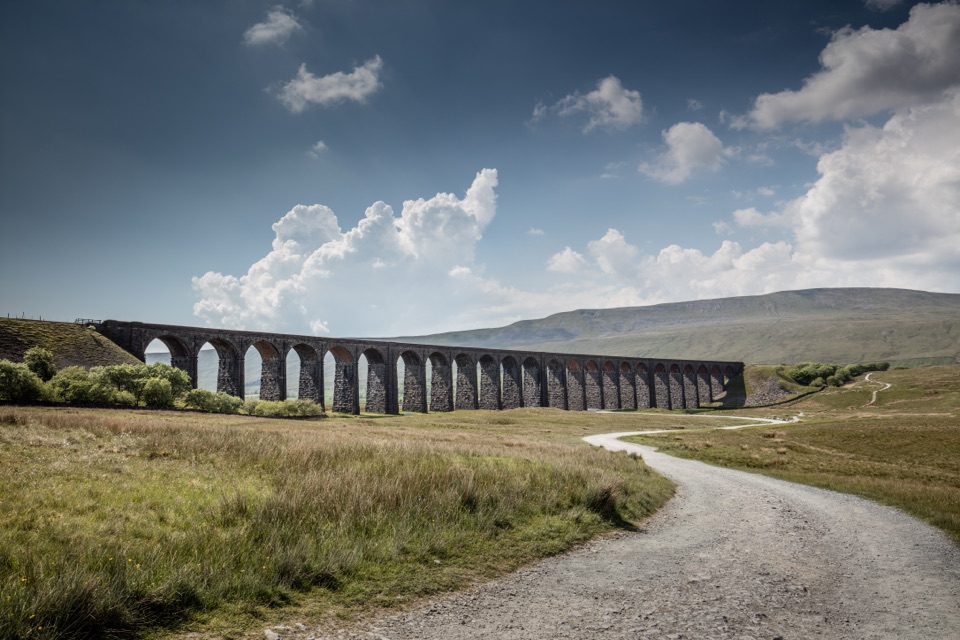 51Dent to Ribblehead WalkNine moorland miles between two railway stations, ending under the viaduct
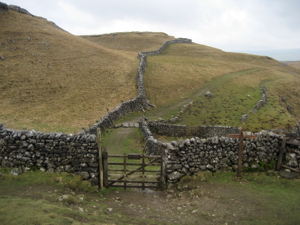 52Kettlewell to Grassington WalkBus up, walk back: limestone shelves and wide Wharfedale views
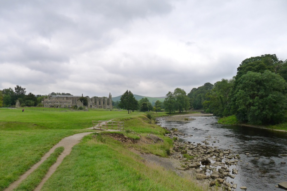 53Bolton Abbey to Grassington WalkTen miles down the Wharfe, past bridges and villages to Grassington
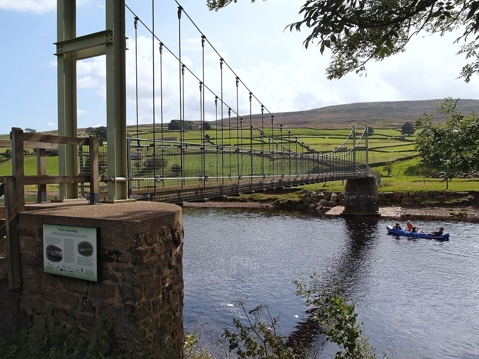 54Low Level Swaledale WalkRiverside meadows and stone walls from Gunnerside to Reeth Swing Bridge
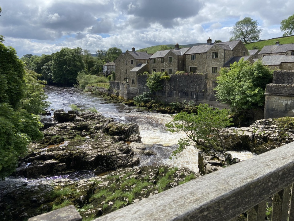 55Grassington Accessible WalkWalled lane and riverside loop to the falls, with short steep pitches
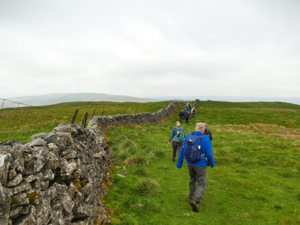 56Horse Head Moor and Deepdale WalkSteep 1,000ft climb to a moorland trig point, then a riverside return
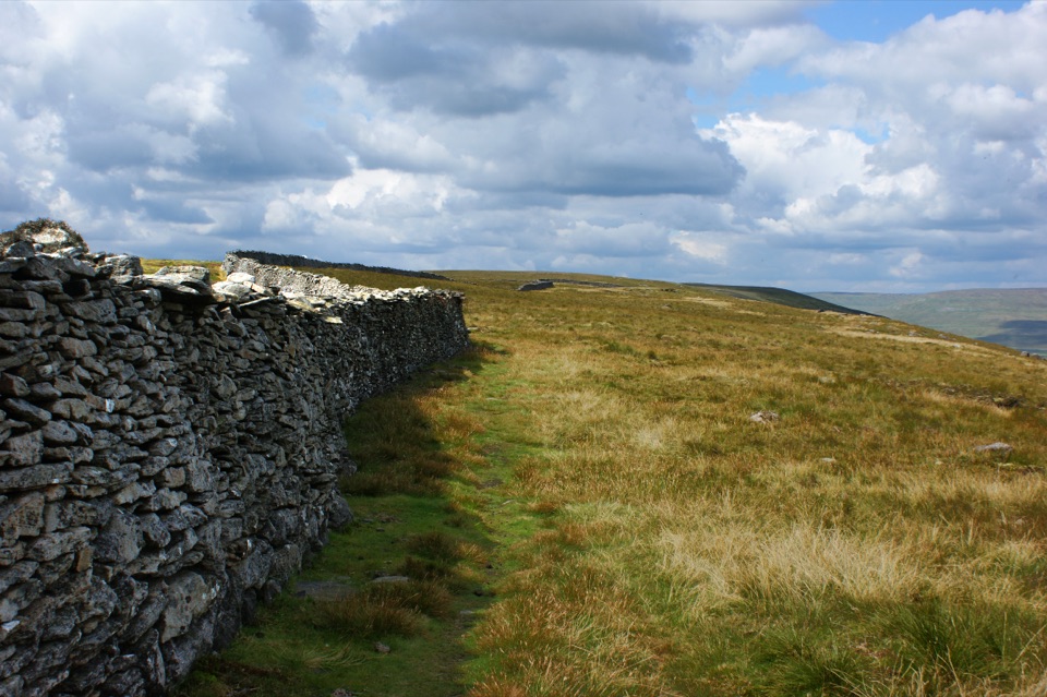 57Old Cote Moor from KettlewellSteep ridge walk between two dales, with a gentle river return
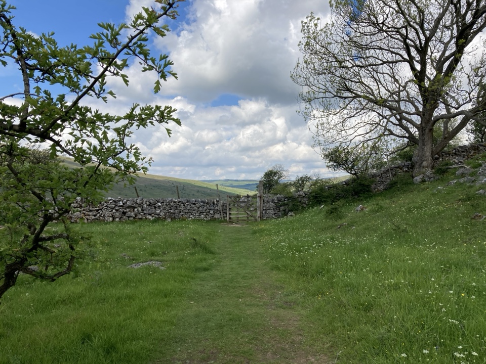 58Yockenthwaite to Cray WalkLimestone pavement, hay meadows and riverside paths above Upper Wharfedale
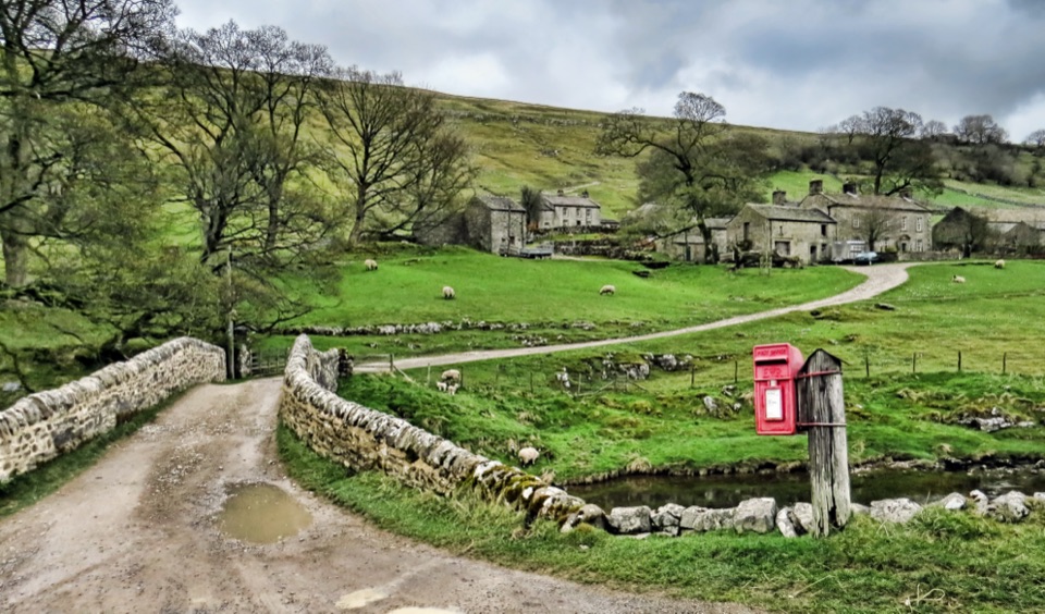 59Discover Langstrothdale Valley TrailRiverside loop past a Bronze-Age stone circle, limekiln and cave waterfall
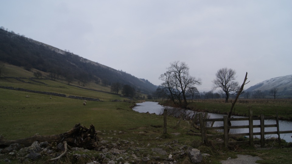 60Buckden to Kettlewell WalkRiverside Dales Way stroll past hay meadows into Kettlewell
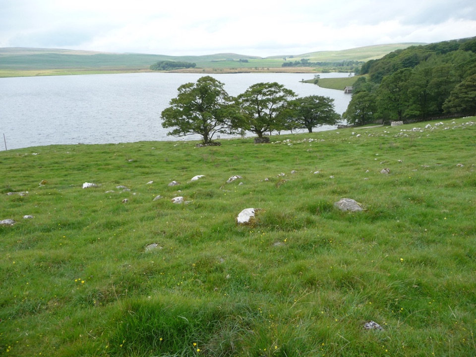 61Malham Tarn Accessible TrailA Tramper-tested loop around a glacial lake, water views the whole way
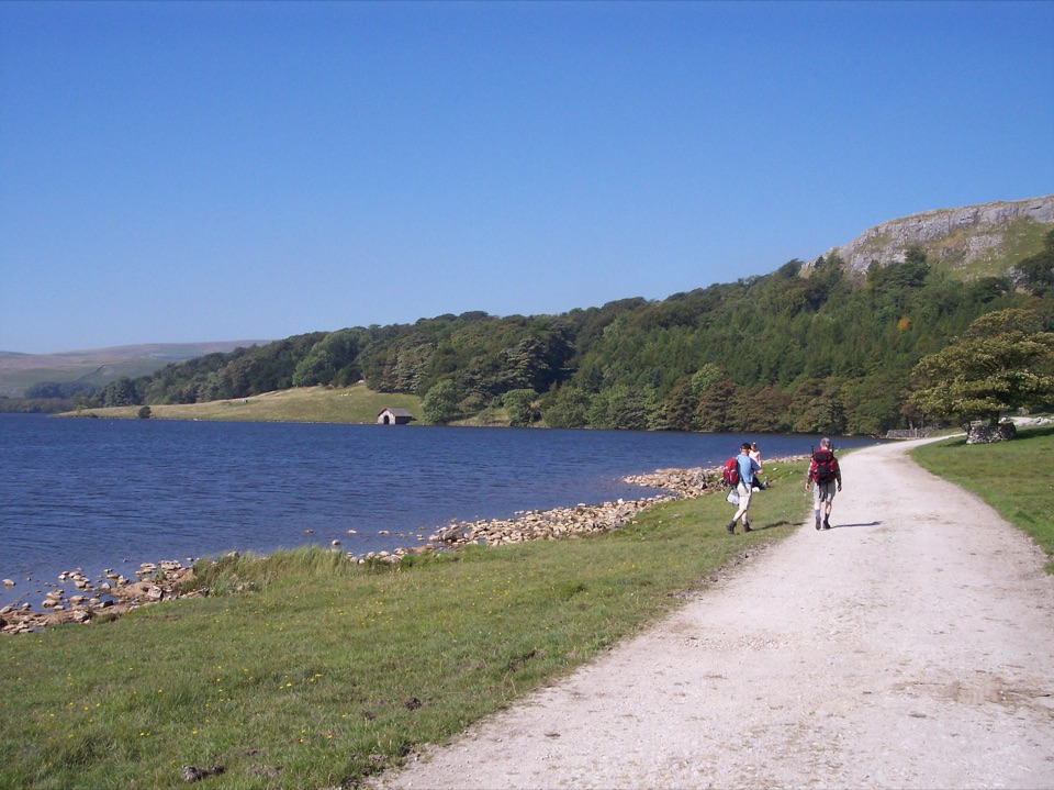 62Malham Tarn Archaeology WalkRoman camp, Monks' Road and a limestone tarn on one upland loop
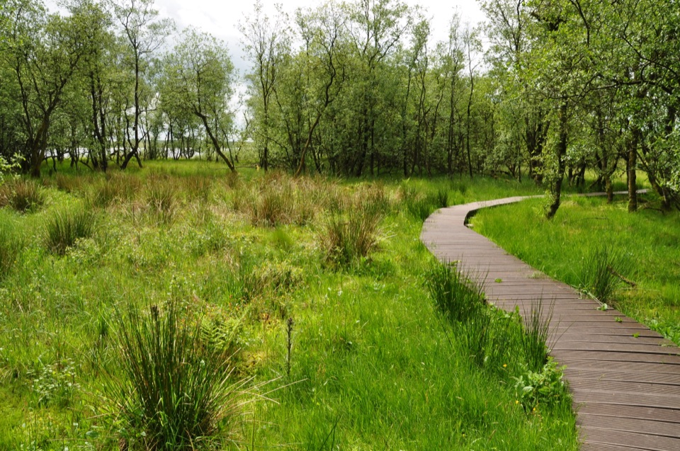 63Malham Tarn National Nature Reserve WalkBoardwalk through mossy wet woodland, then open limestone pasture
 64Watersinks to Malham Tarn Easy StrollGentle grassy amble beside a high upland tarn, out and back
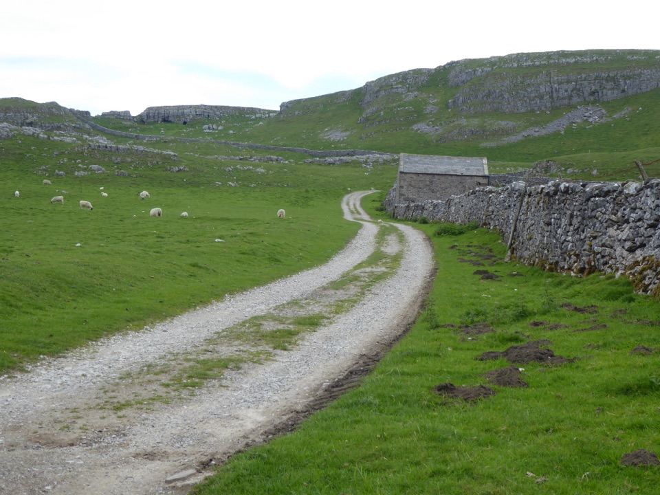 65Settle LoopTen steep limestone miles above Settle, with Three Peaks views
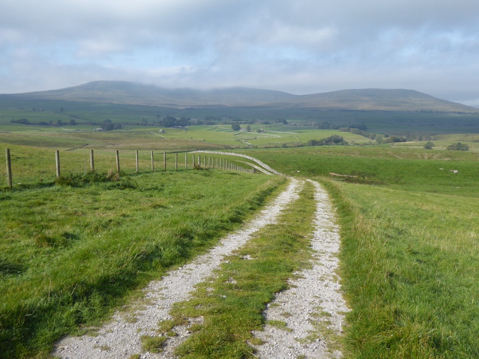 66Pennine Bridleway174 miles of stony bridleway from Derbyshire rails to Cumbrian fells
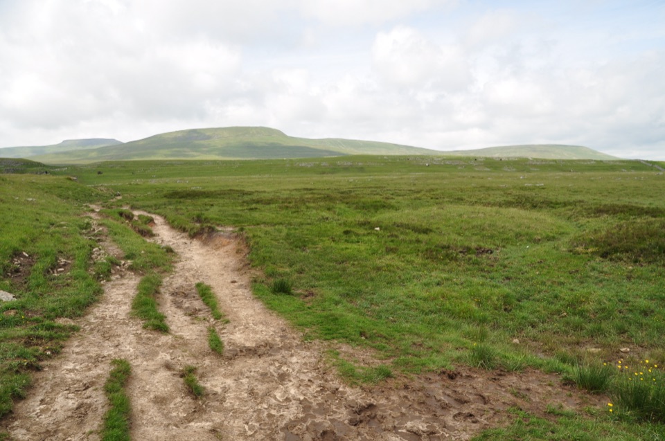 67Dales High WayNinety miles of high moorland, limestone and fells, Saltaire to Appleby
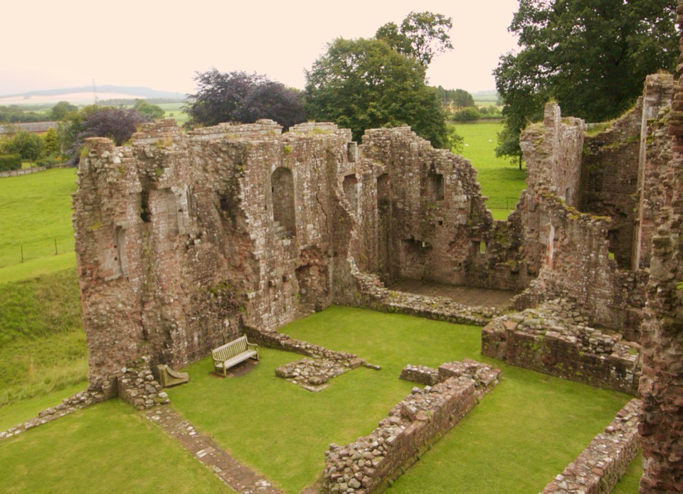 68Lady Anne’s WaySix days of castles, moorland and Eden Valley miles, Skipton to Penrith
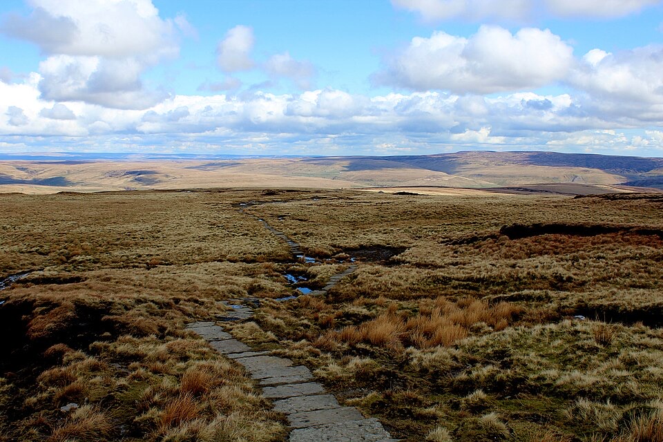 69Herriot WayFour moorland days linking waterfalls, high fells and lead-mining ruins
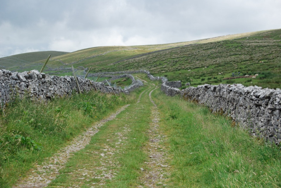 70Ribble WayFollow the Ribble from tidal marsh to moorland source over 70 miles
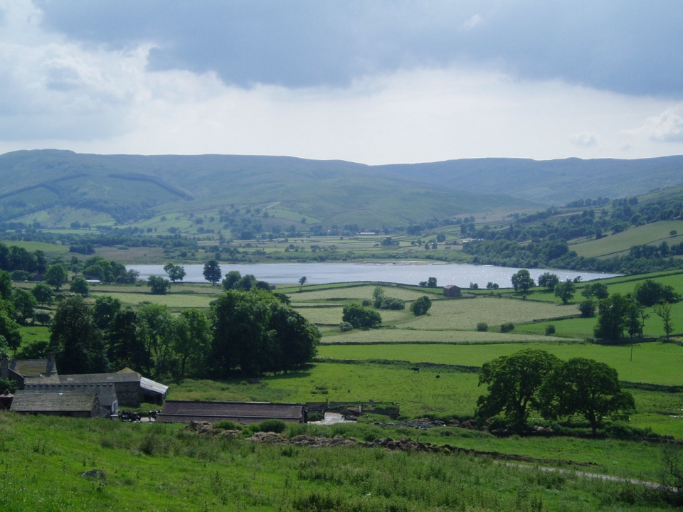 71Dales Inn WaySix days of dale-hopping moorland miles between 26 traditional Dales inns
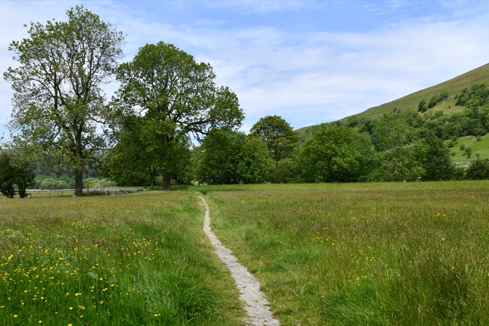 72Wainwright's Pennine Journey18-day loop from Settle to Hadrian's Wall and back through the dales
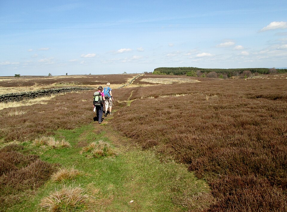 736 Dales TrailOtley to Middleham across six dales, reservoirs and heather moorland
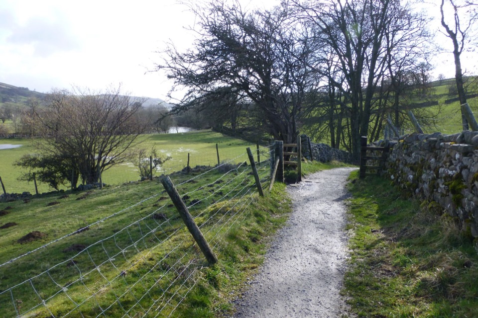 74Swale TrailStone tracks and quiet lanes from Reeth up Swaledale to Keld
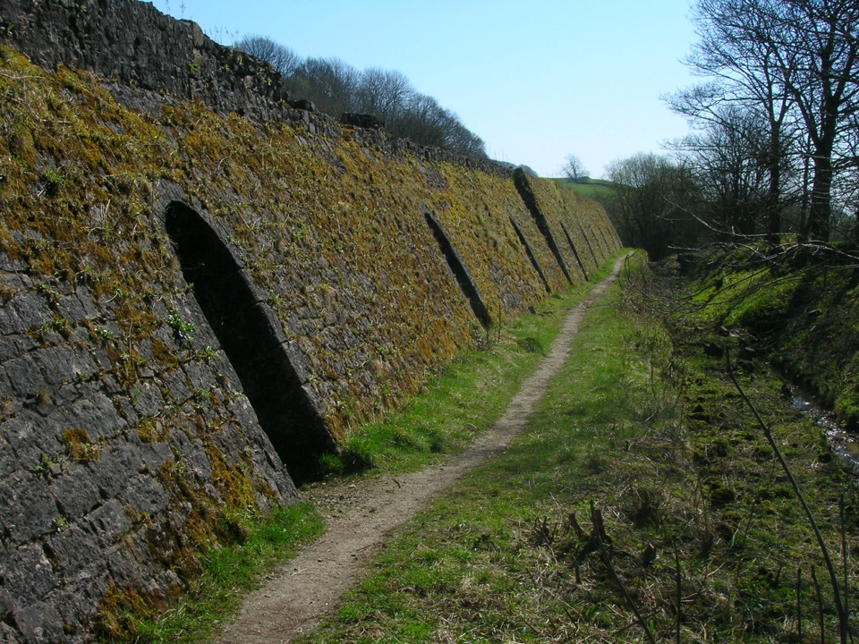 75Craven Lime Works Trail – Northern LoopShort loop past an 1873 Hoffmann kiln, quarry cuts and woodland
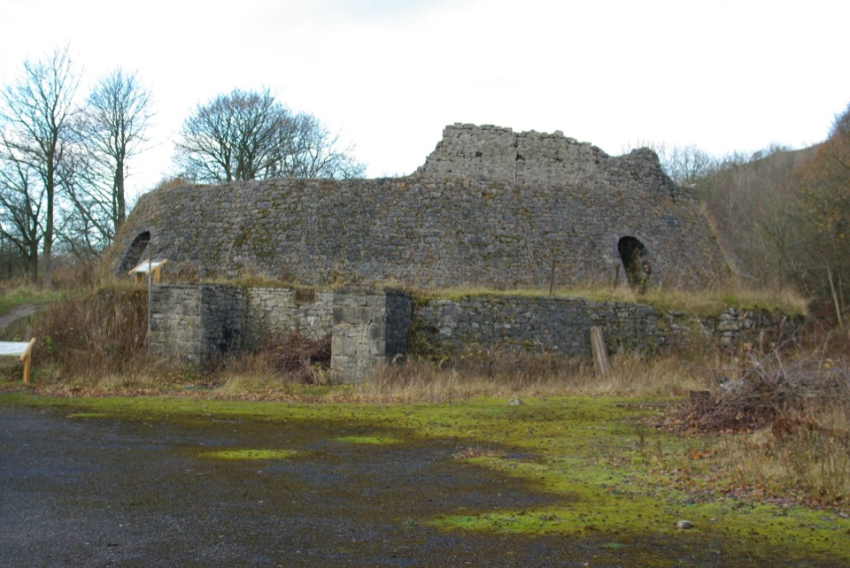 76Craven Lime Works Trail (Southern Loop)Steps and stone kilns: a quarter-mile loop through quarry ruins
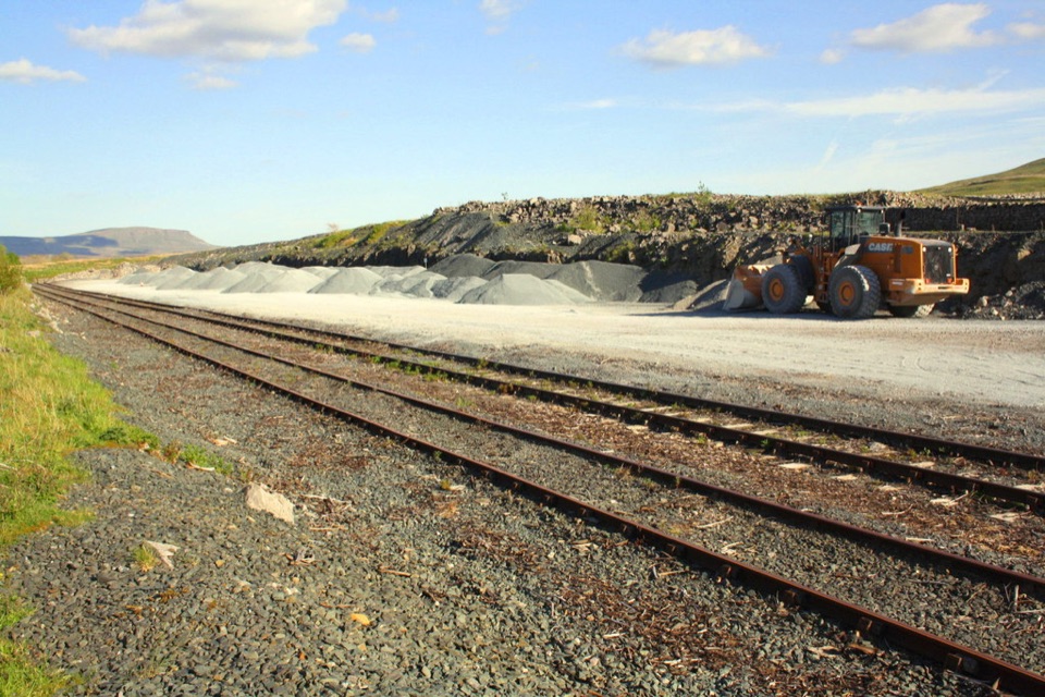 77Ribblehead Quarry WalkQuarry ponds, limestone pasture and a Viking farmstead in 1.68 miles78Hawes Mosaic WalkHunt 20 wall-set mosaics on a long Upper Wensleydale village loop
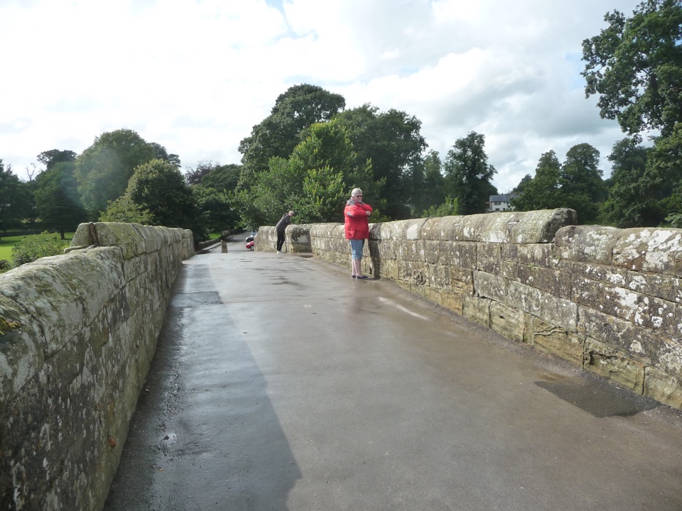 79Devil’s Bridge WanderThree arches, riverside paths, 86 steep steps to Ruskin's View
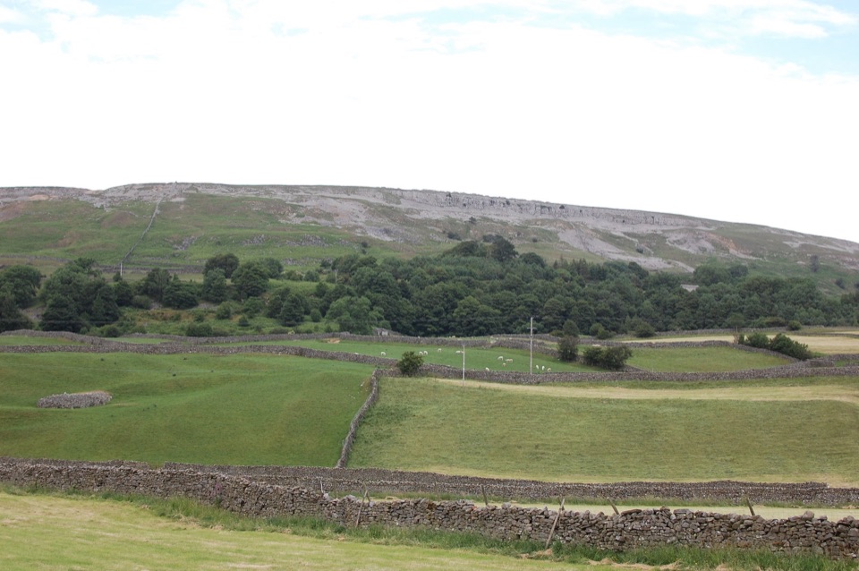 80Reeth Low CommonField paths, a steep rocky lane and big views over the dale
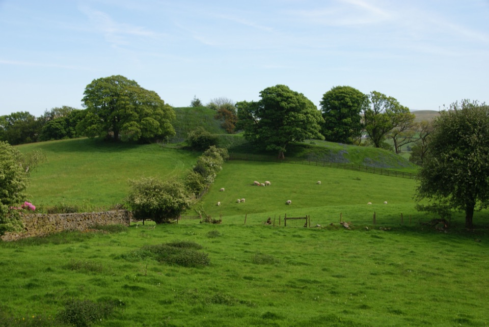 81Sedbergh to Stone HallA compact field-and-lane loop from Sedbergh with castle mound views
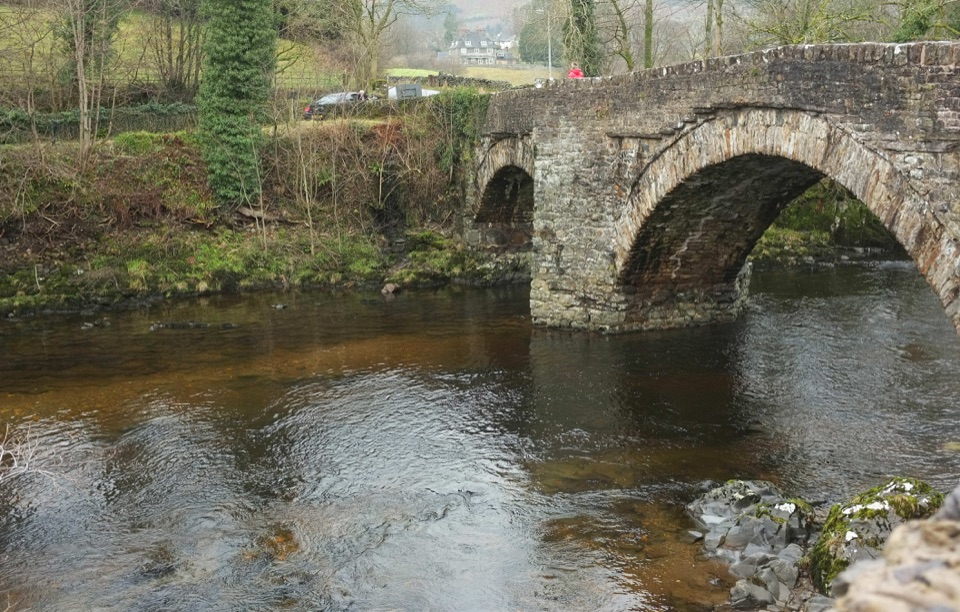 82Sedbergh and MillthropRiverside loop to Millthrop Bridge, then field paths and Akay Wood
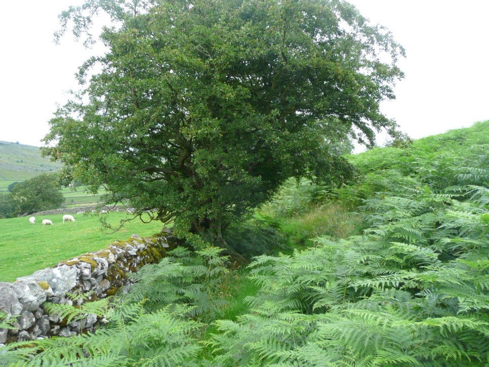 83Oxenber Wood TrailBluebell woods and old quarry ground on a half-mile point-to-point
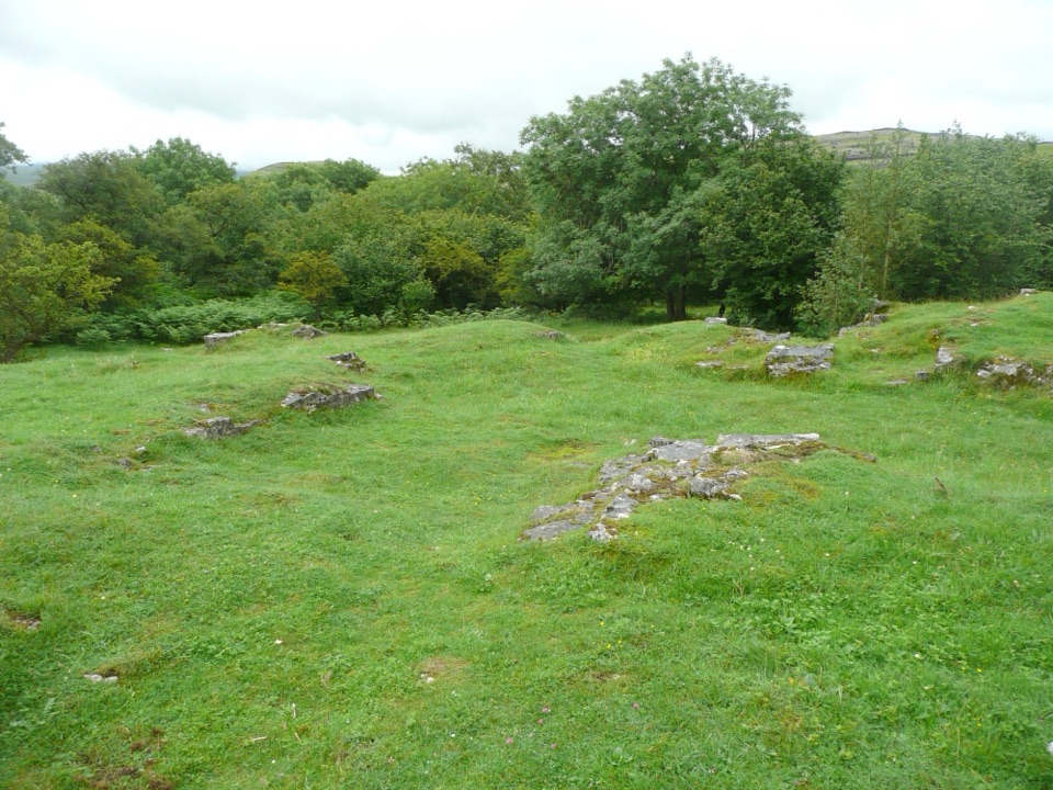 84Wharfe Wood TrailShort limestone woodland walk with spring bluebells and open Dales views
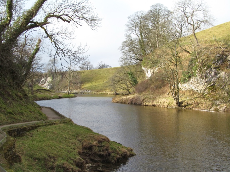 85Burnsall Accessible WalkSmooth, level riverside walk to Loup Scar, with two kissing gates
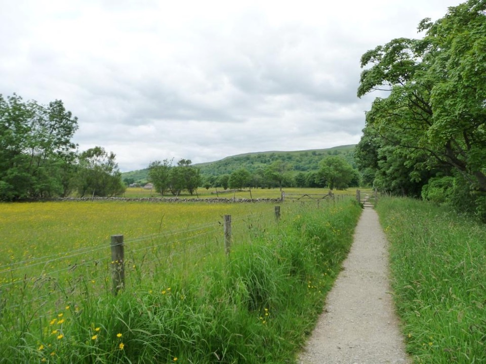 86Buckden Accessible WalkLevel riverside walking by the Wharfe, under Upper Wharfedale hills
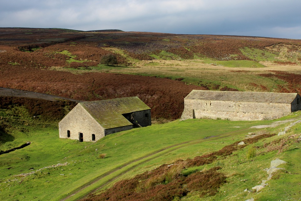 87Grinton Smelt Mill Accessible WalkShort aggregate track beside Cogden Gill to a roofed lead smelt mill
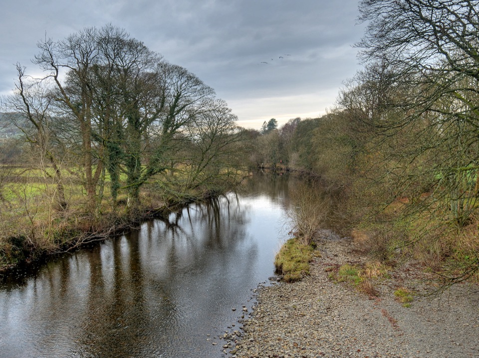 88River Rawthey Accessible WalkTown pavements to a wooded riverbank, herons, dippers and picnic benches
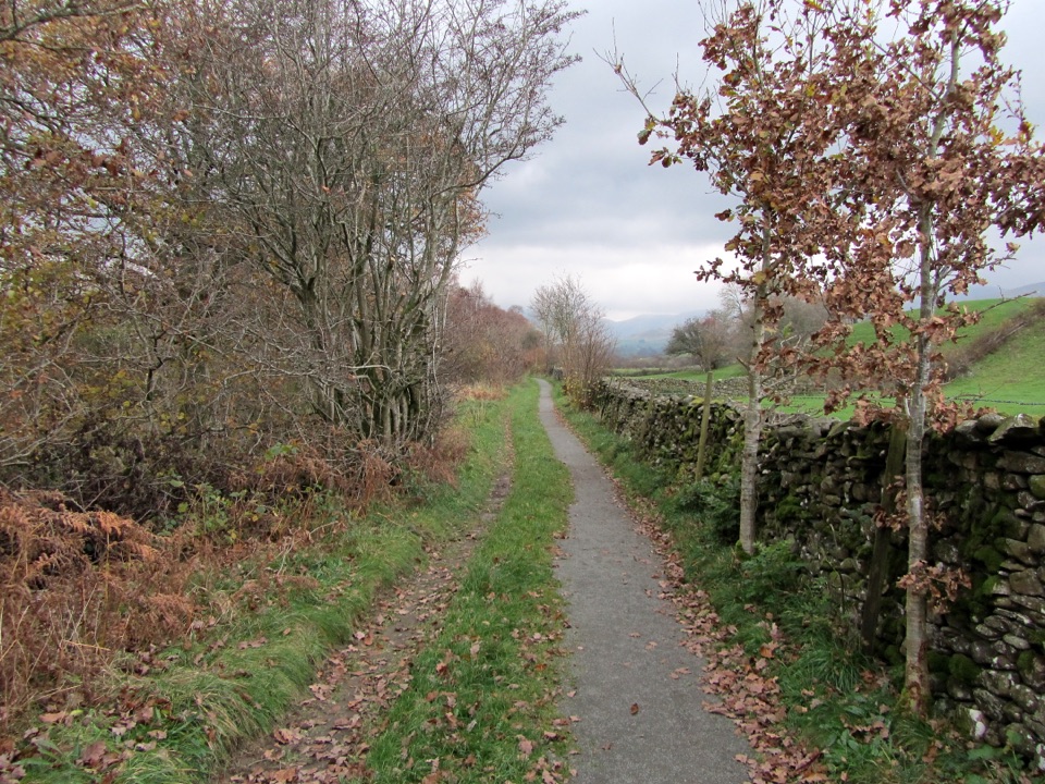 89Killington New Bridge Accessible WalkSmooth, level path beside the River Lune to a riverside viewing platform
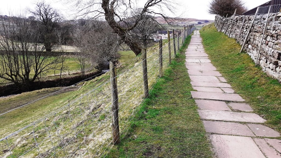 90Hawes Accessible WalkCobbled climb, then stone flags along Gayle Beck toward pasture views
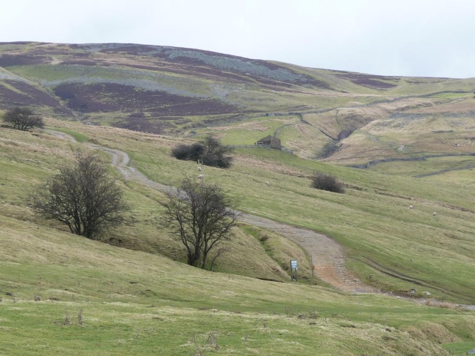 91Ivelet Moor Accessible WalkEleven kilometres of surfaced moorland track with broad Swaledale views
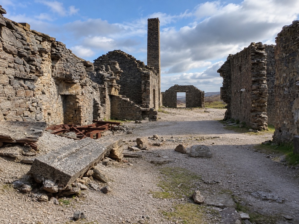 92Old Gang Smelt Mill RouteWide beckside track to a ruined lead smelt mill, 6 km return
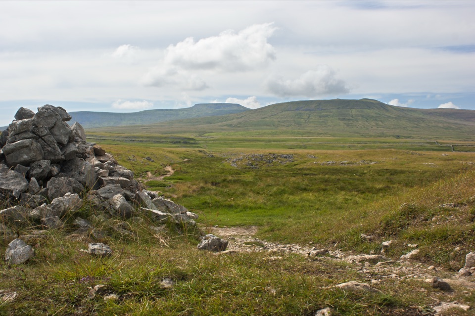 93Sulber Nick Accessible WalkStile-free limestone track to Sulber Gate with views over Crummack Dale
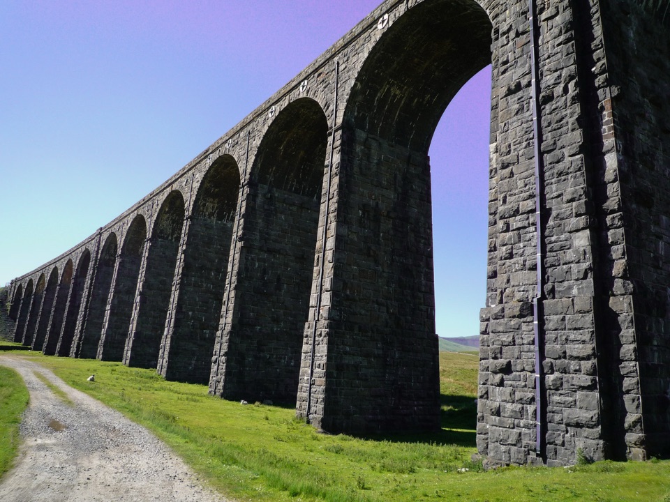 94Ribblehead Audio TrailShort audio loop through navvy camps and lime kilns beneath the viaduct
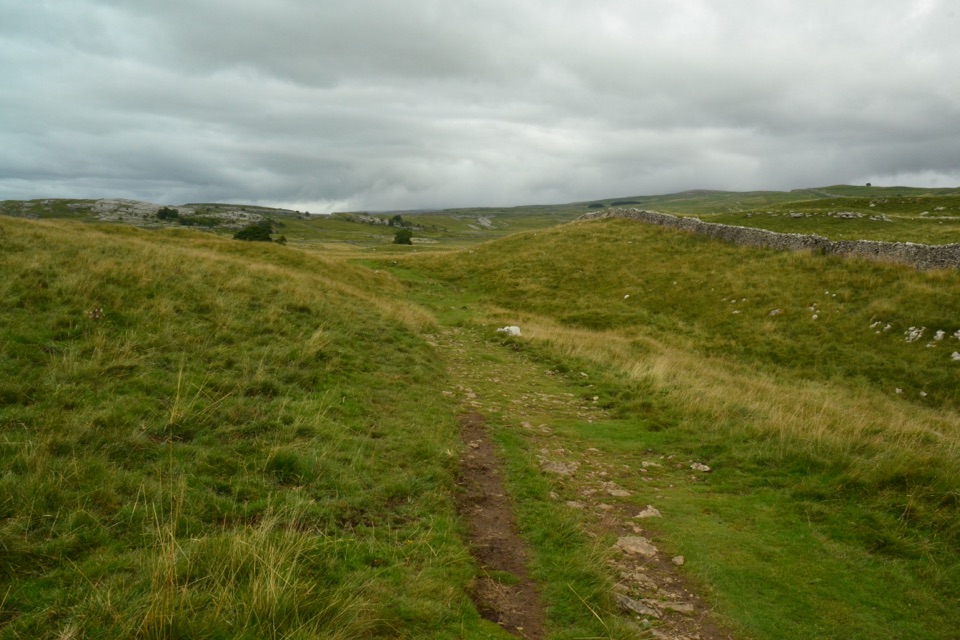 95Grassington Audio TrailFifteen audio stops link limestone grassland and lead-mining history
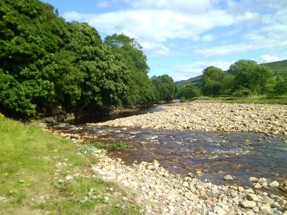 96Swaledale Audio TrailAudio loop past Muker's hay meadows, stone walls and Swale bridges
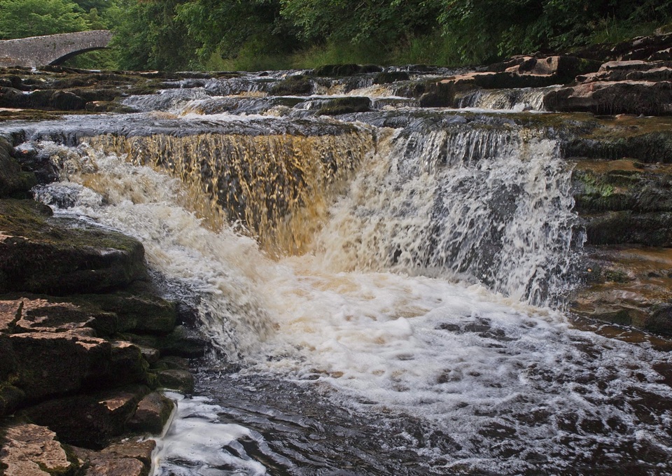 97Stainforth Audio TrailLimestone falls, riverside path and a stone village on an easy loop
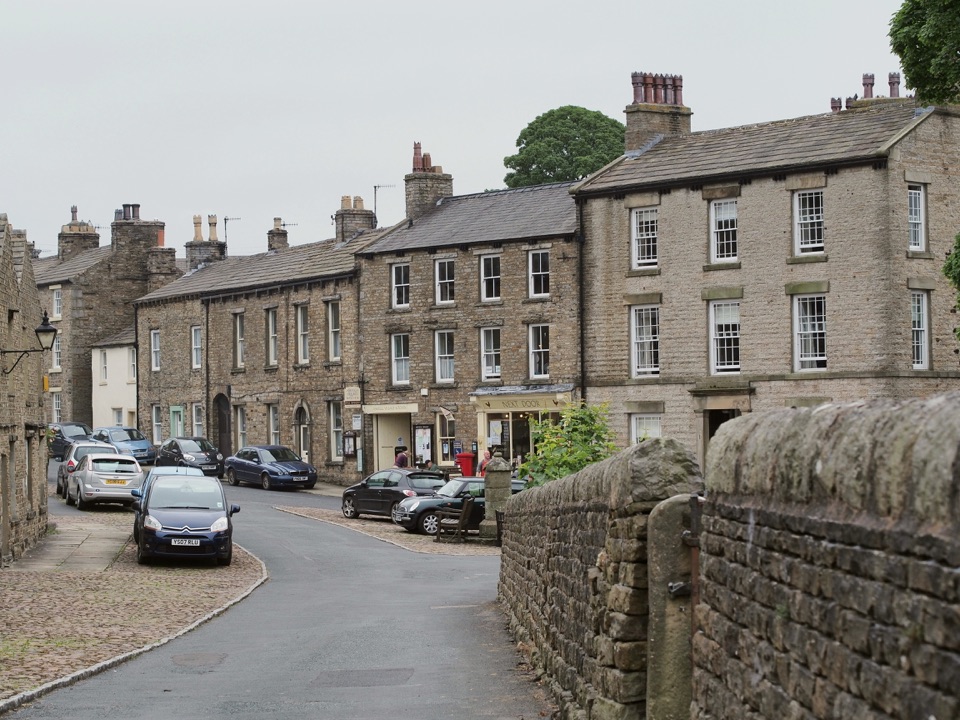 98Bainbridge Audio TrailMills, village greens and old railway on a 4.5-mile audio loop
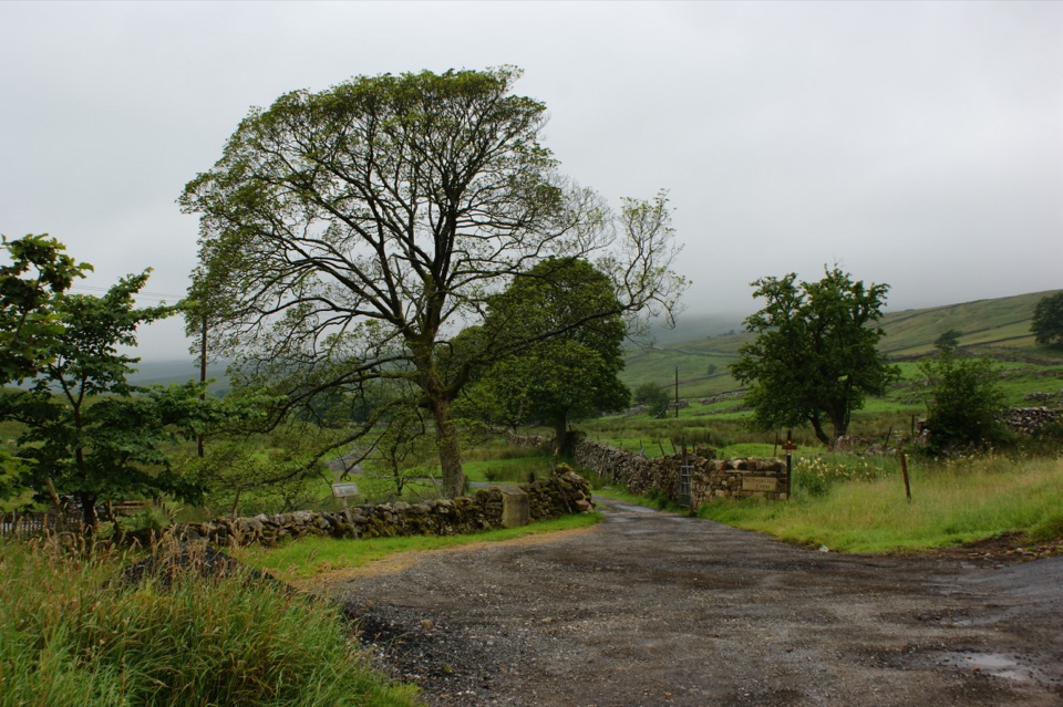 99Nethergill Farm Audio TrailTwelve-stop loop past beck, bog and woods on a working hill farm
The highest, rockiest slopes around here are a summer buffet for grizzly bears.
Yorkshire Dales Tour Guide
Yorkshire Dales, narrated.
Parkwolf is a GPS audio tour guide for Yorkshire Dales National Park. As you drive, it chimes in with what’s ahead: hidden gems, upcoming stops, history, geology, and wildlife, right through your car’s speakers.
Recorded for this place
Malham Cove0:00 / 0:31
“You're approaching Malham Cove, but the huge curved limestone cliff is a walk from Malham village, not a roadside viewpoint.”
Plays as you drive up to Malham Cove in the Parkwolf Yorkshire Dales Tour Guide.
More stories near here in the app
- Malham Village and National Park Centre
- Janet's Foss and Gordale Scar
- Malham Tarn from Watersinks
- The Scream Above the Roofs
- 298 audio storiesacross Yorkshire Dales’s roads, triggered by GPS as you drive
- Wildlife heatmapsfor Eurasian Otter, Atlantic Salmon, Short-eared Owl, and 13 more
- Works offlinemaps, 99 trails, 63 places, and audio download before you lose signal
- CarPlay readysimple controls built for the drive
“Fantastic app with many points of information… It’s great to just turn on while you’re driving and it gives you an audio tour of the national Park. We love it!!!!”

