
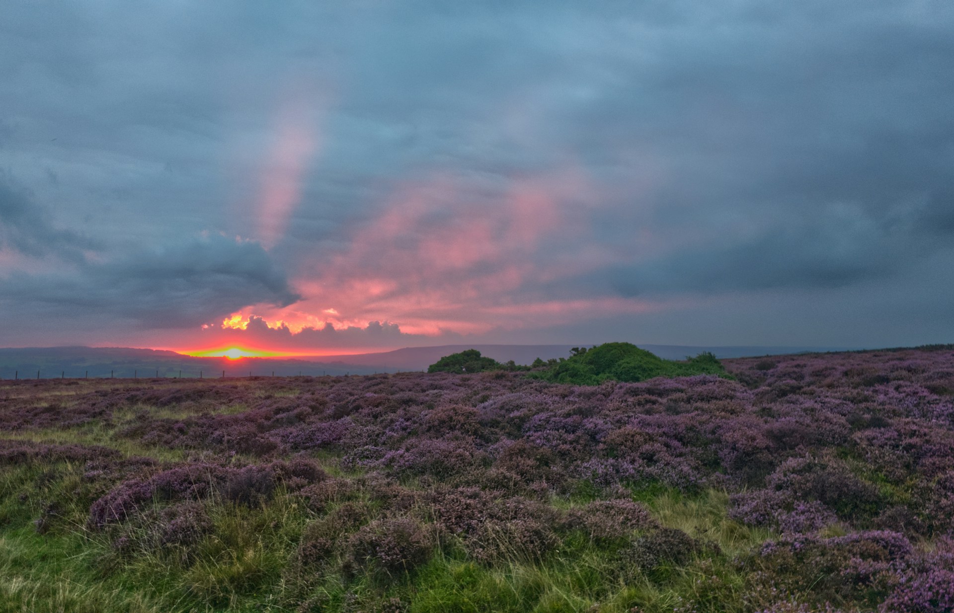
All North York Moors trails
126 trails
 1Cleveland Way National TrailNine days from abbey ruins over heather moors to North Sea cliffs
 2Coast to Coast Path National Trail190 one-way miles from Irish Sea surf to heather moor and cliff
 3Roseberry Topping and Cook’s MonumentTwo summits, one 7.2-mile loop: stone steps, open moor, 360-degree views
 4Levisham Moor & Hole of HorcumA 400-foot amphitheatre, Bronze Age moor, and a slippery rocky griff
 5Ravenscar to Robin Hood's BayMoorland tracks, cliff paths and a seaside village in an 11-mile loop
 6Lyke Wake WalkA brutal 40-mile moorland crossing from Osmotherley to Ravenscar
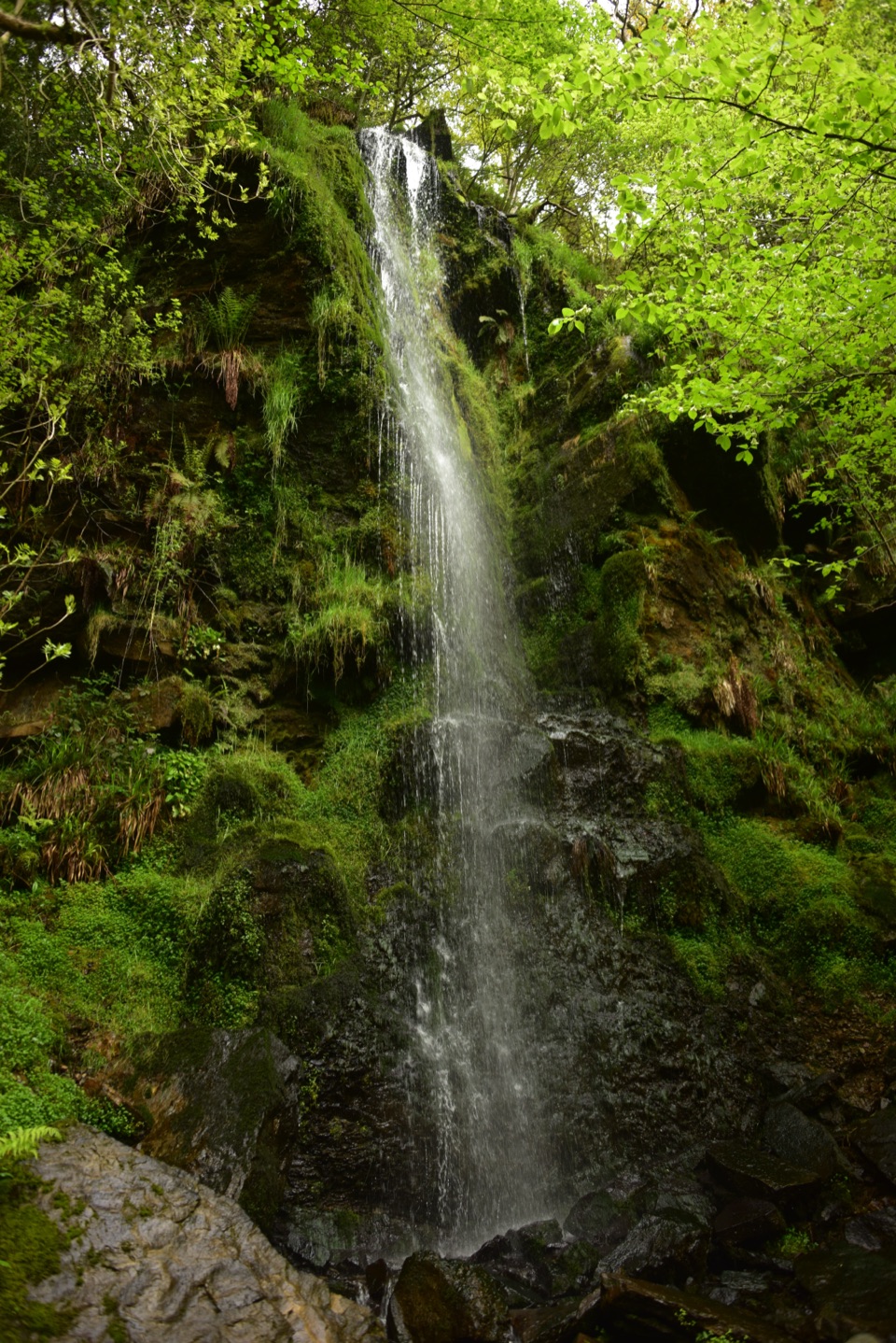 7Mallyan Spout and Beck HoleA 70-foot ravine waterfall, then a wooded beck and old railway incline
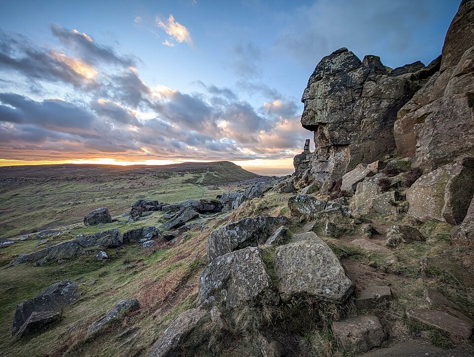 8Wainstones WalkClimb Cold Moor to the Wainstones on a demanding ridge-and-moor loop
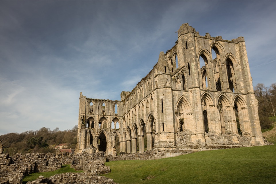 9Helmsley and Rievaulx AbbeyAbbey ruins, a terrace panorama and bluebell woods on a 7-mile circuit
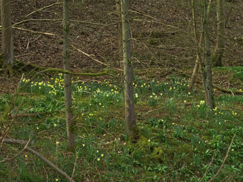 10Farndale Daffodil WalkWild daffodils line the River Dove on an easy 3.5-mile dale loop
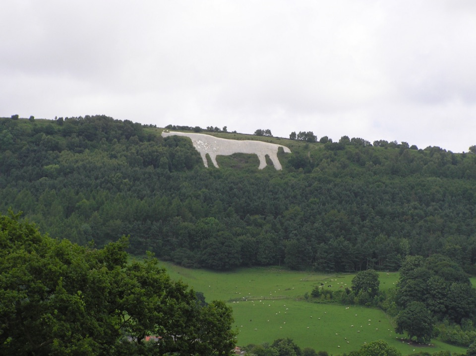 11White Horse WalkEscarpment views, gliders and 151 steps down to the Kilburn White Horse
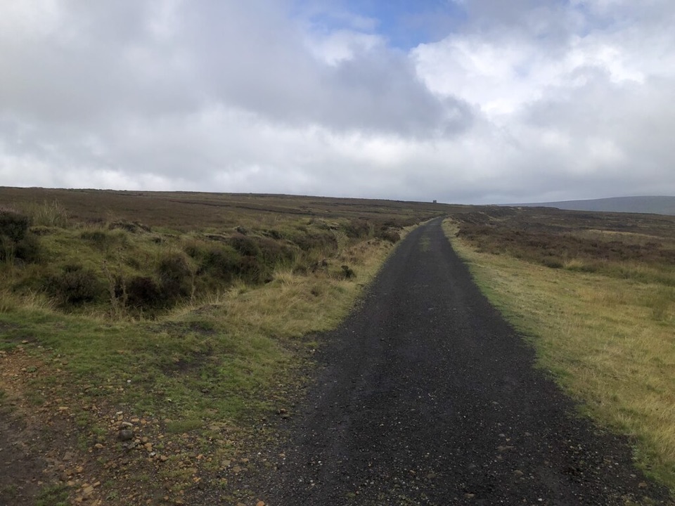 12Rosedale WalkPriory ruins, dale farms and an old ironstone railway: 12 km loop
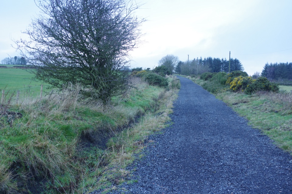 13The Cinder TrackOld railway cinder, sea views and moor edge, Scarborough to Whitby
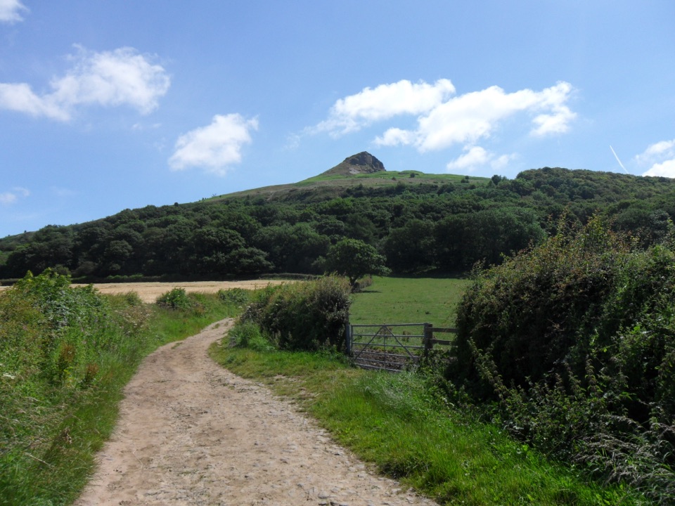 14Roseberry Topping Woodland Wildlife WalkBluebell woods beneath a landmark hill, on a muddy 3.3-mile loop
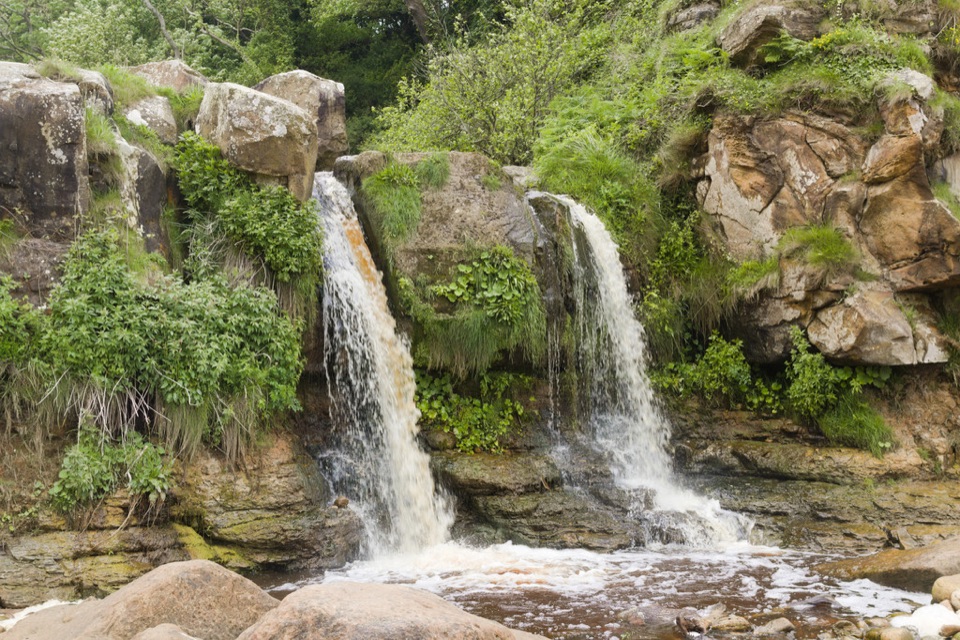 15Cloughton and Hayburn WykeClifftop coast path to a waterfall cove, level old railway back
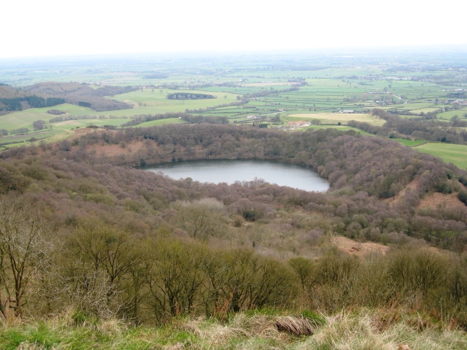 16Sutton Bank, Kilburn White Horse and Gormire LakeCliff-edge views, England's biggest white horse, then a quiet lake
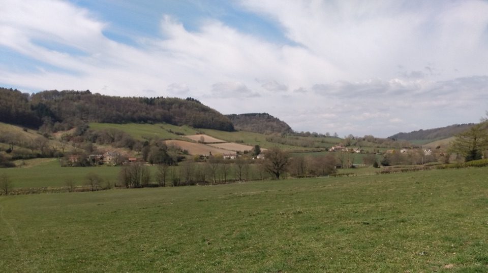 17Tabular Hills WalkCoast to Helmsley in four days across flat-topped hills and wooded valleys
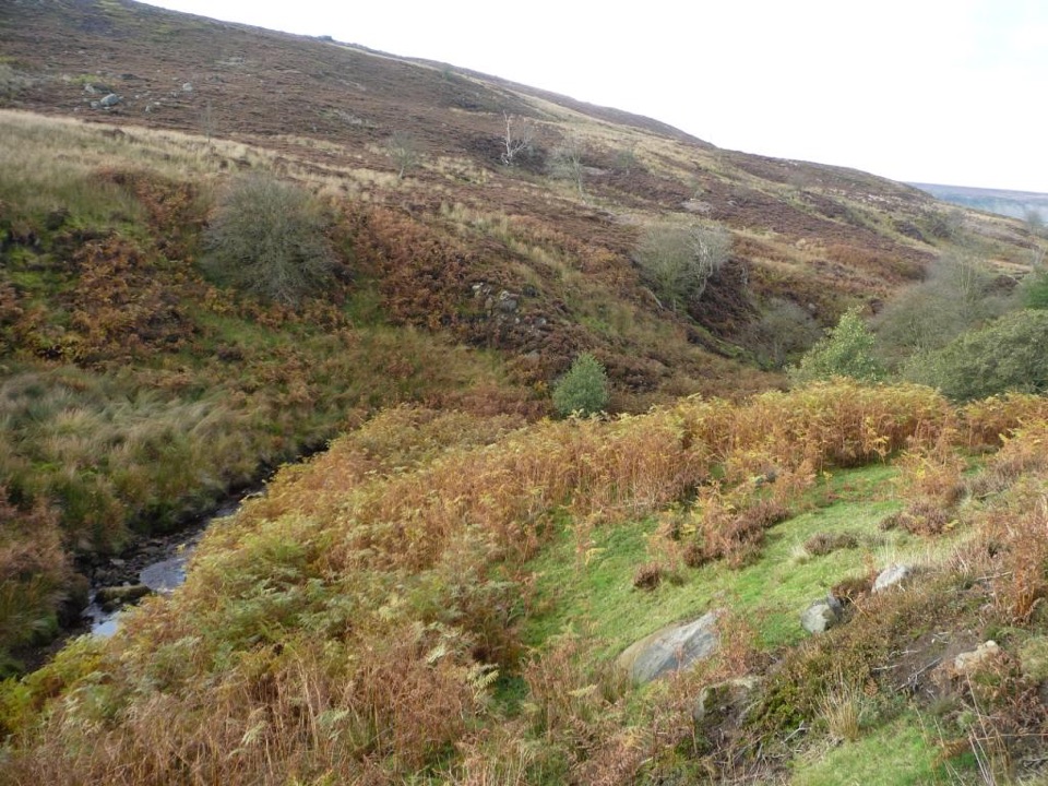 18Esk Valley WalkFollow the Esk from high heather moors down to Whitby harbour
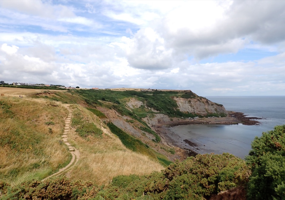 19Staithes and Port MulgraveHarbour lanes, cliff edges, ironstone ruins, then quiet fields home
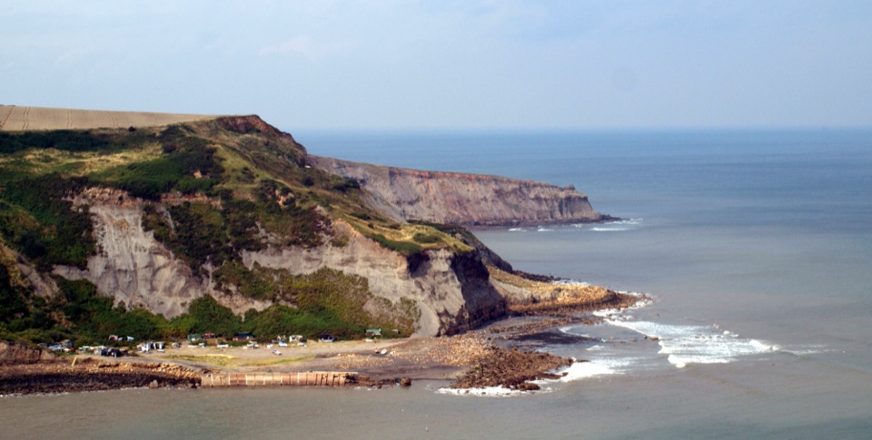 20Runswick Bay to StaithesClifftop walk between two fishing villages, past a lost ironstone harbour21Goathland, Mallyan Spout and the Roman RoadWaterfall ravine, open heather moor and an ancient moorland causeway
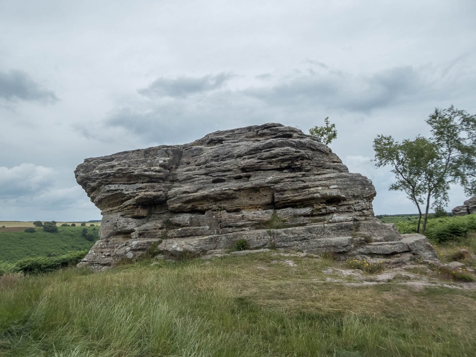 22Bridestones and Dovedale WalkMoorland tracks, Jurassic sandstone, a wooded valley and a quiet lake
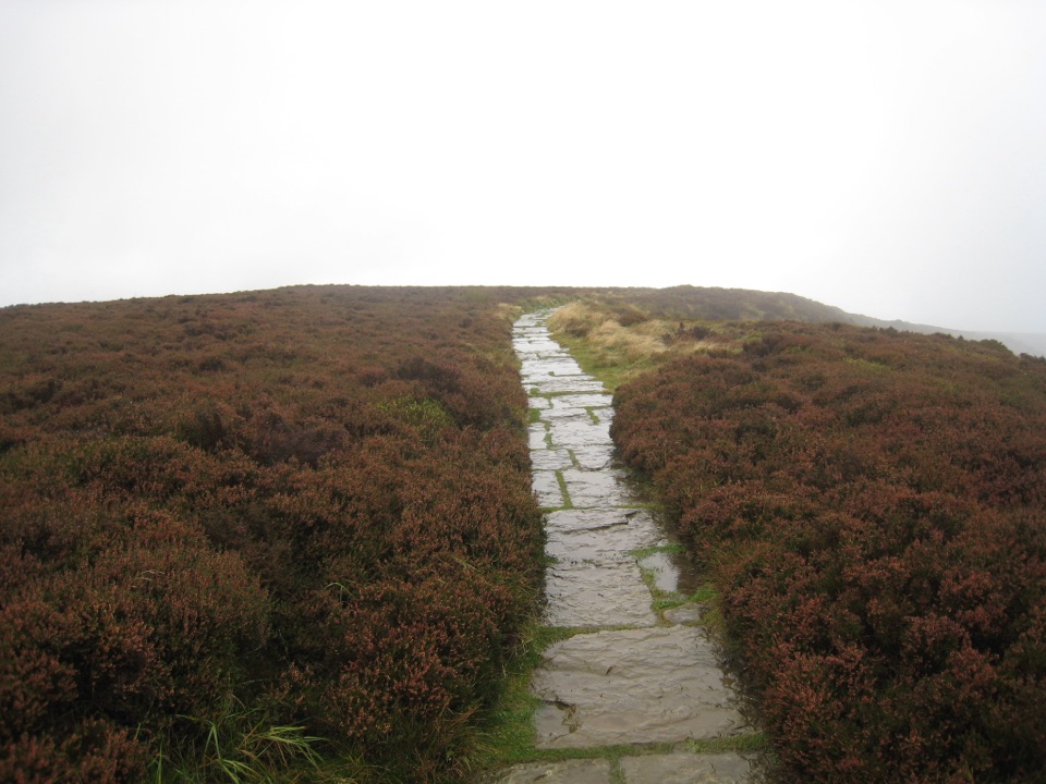 23Lord Stones WalkSteep pitched climb to a stone seat above the wide Cleveland plain
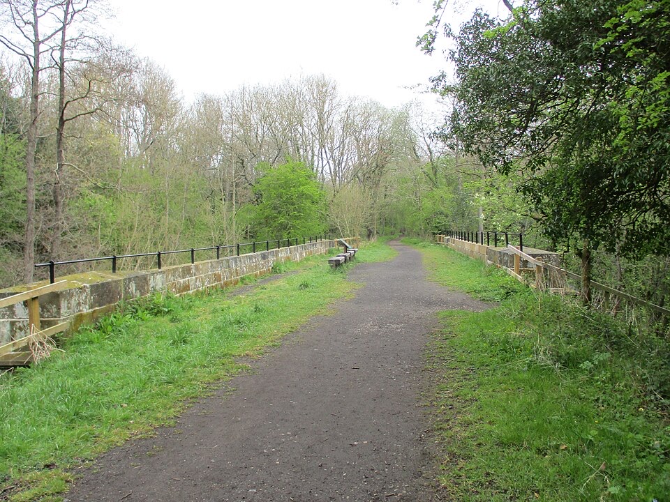 24Goathland to Grosmont Rail TrailGentle downhill walk along an 1836 railway line to Grosmont
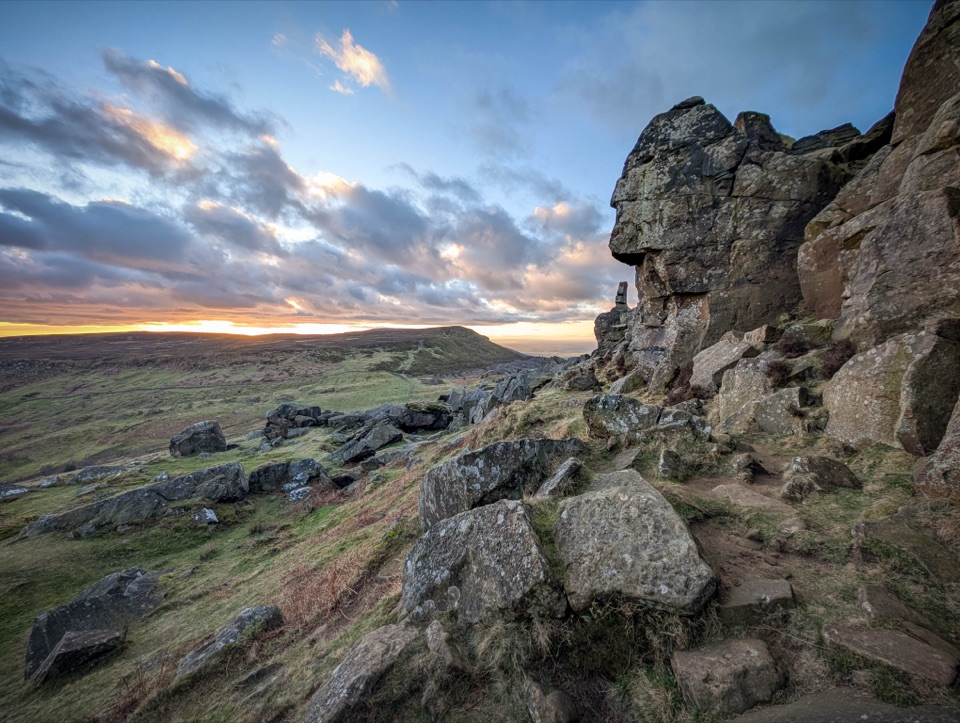 25Coast to Coast: Ingleby Cross to Clay Bank TopBig moorland climbs to the Wainstones on the Cleveland escarpment
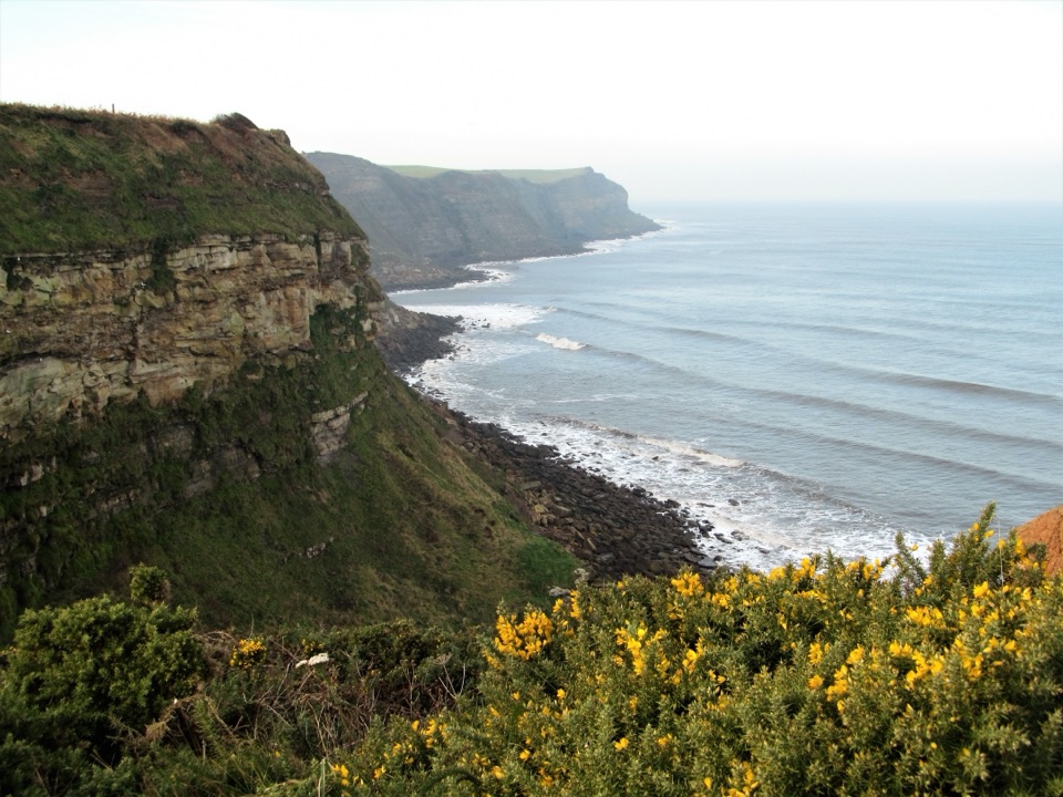 26Robin Hood's Bay and Maw WykeClifftop seabird views to a sheltered inlet, easy railway return
 27Saint Aelred’s Pilgrim TrailNine-stage, 41-mile circuit linking Ryedale churches with Rievaulx Abbey
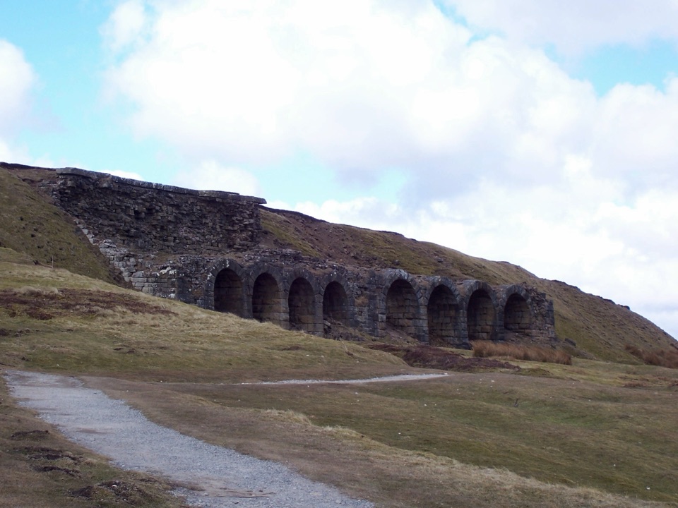 28The Inn Way to the North York MoorsSix days of moorland ridges, hidden dales and village inns.
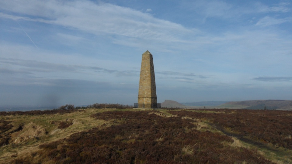 29Captain Cook's Monument WalkShort uphill climb to an 1827 obelisk with wide Tees Valley views30Miles without Stiles (For many) - Sutton Bank and Kilburn White HorseStep-free escarpment walk to the White Horse, big Vale of York views
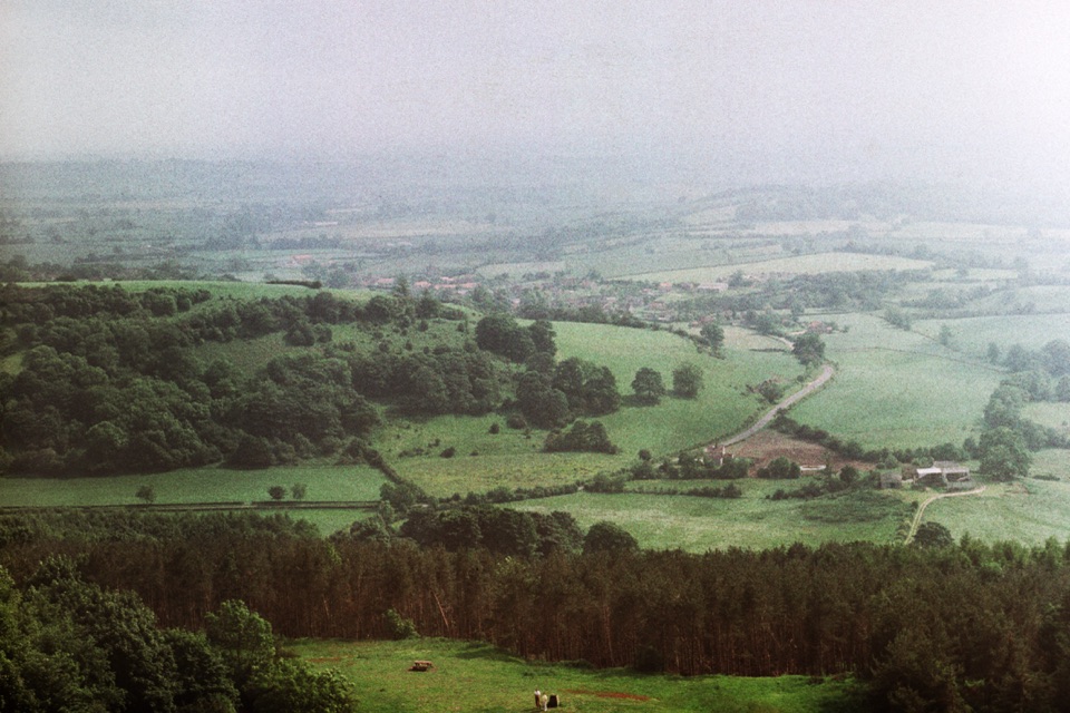 31Miles without Stiles (For some) - Sutton Bank Access CircuitEscarpment views, the White Horse and a gliding club on firm tracks
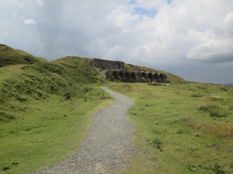 32Miles without Stiles (For many) - Rosedale Mineral RailwayLevel cinder railway past ironstone kilns to a bench above Rosedale
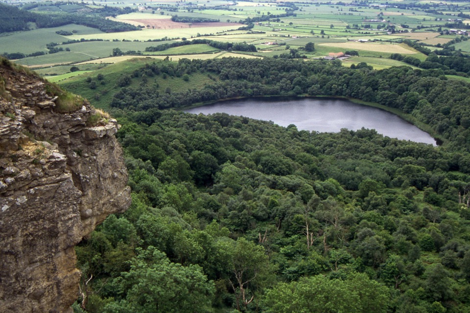 33Gormire Lake from Sutton BankCliff-edge views, a steep woodland drop to a quiet hidden lake
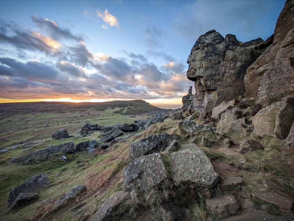 34Cold Moor and Urra Moor WalkA 14.3 km moorland loop from Chop Gate over the Wainstones ridge
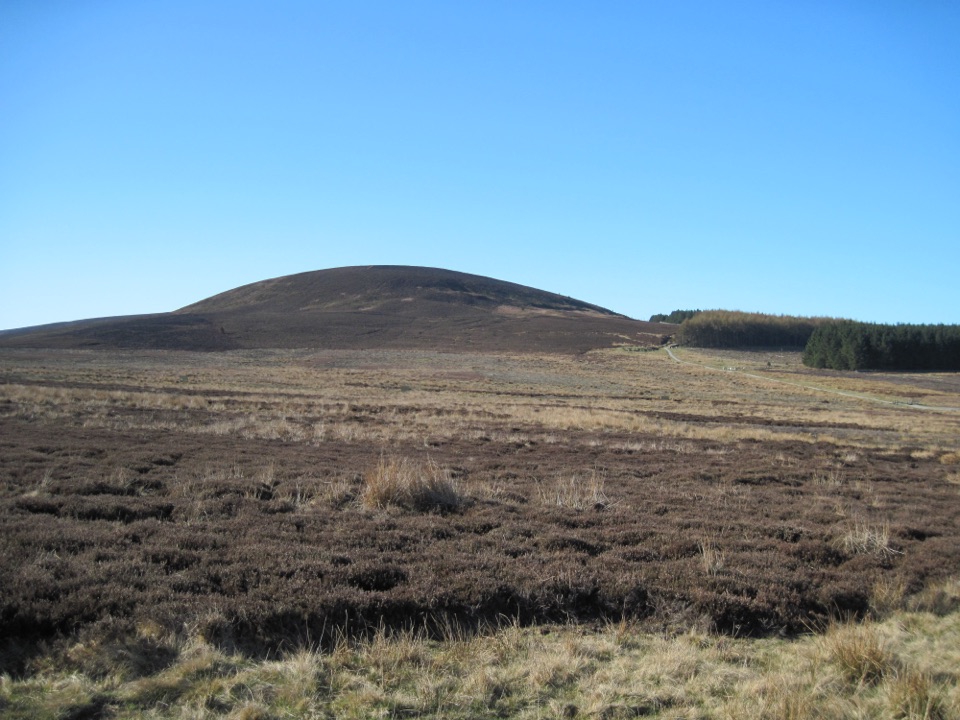 35Black Hambleton WalkQuiet moorland loop to the Hambleton Hills' highest point, wide vale views
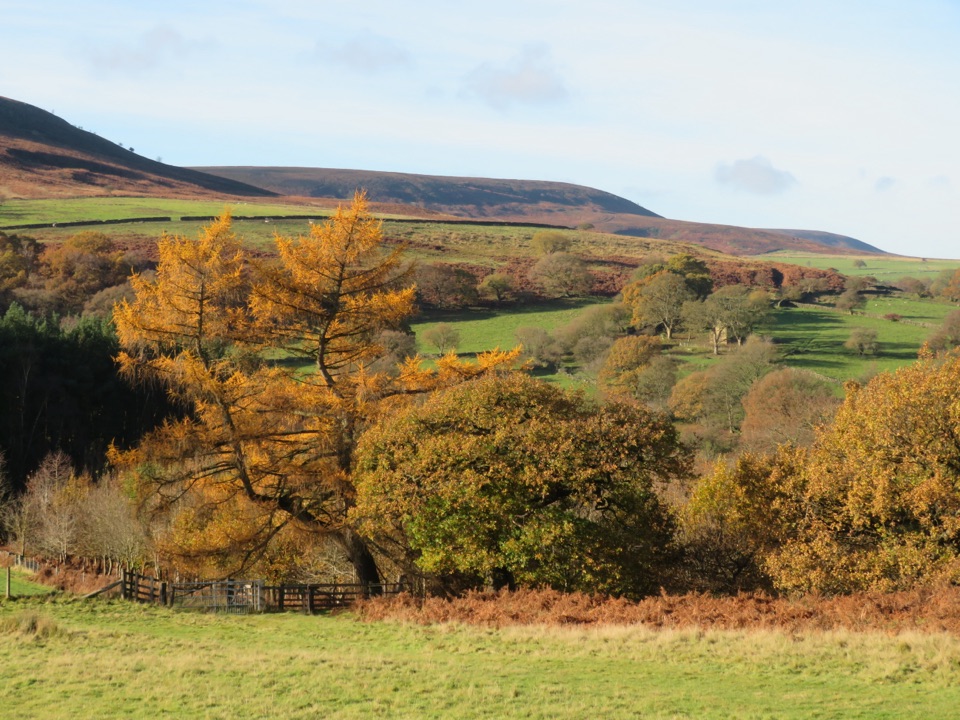 36Hawnby CircularA hilly mix of woodland, river crossings and open moorland.
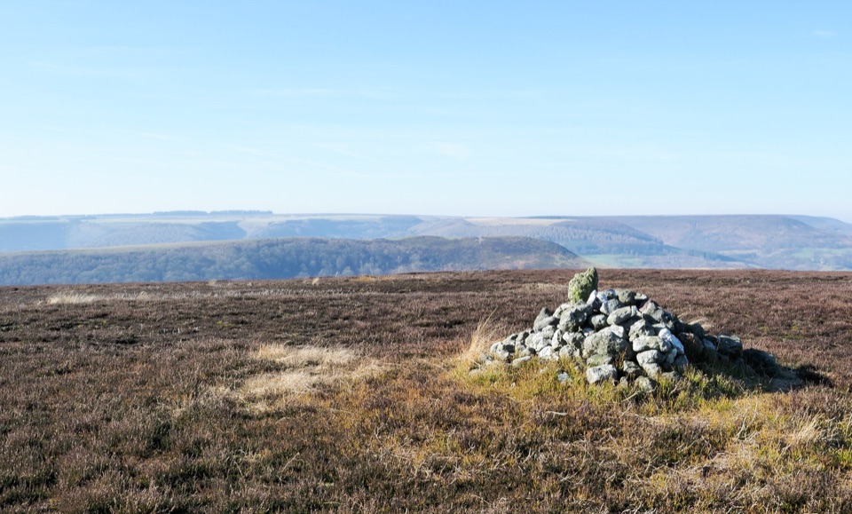 37Hawnby Hill and Easterside Hill WalkTwo shapely hills, big Rye Dale views, two short steep climbs
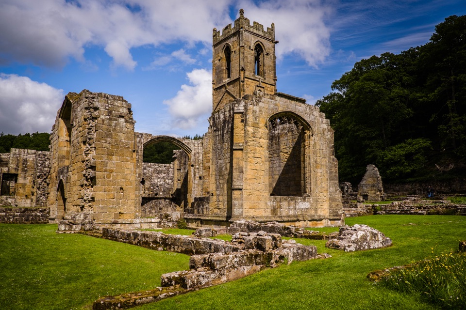 38Osmotherley and Mount GraceRuined priory, hillside chapel and a steep wooded climb back
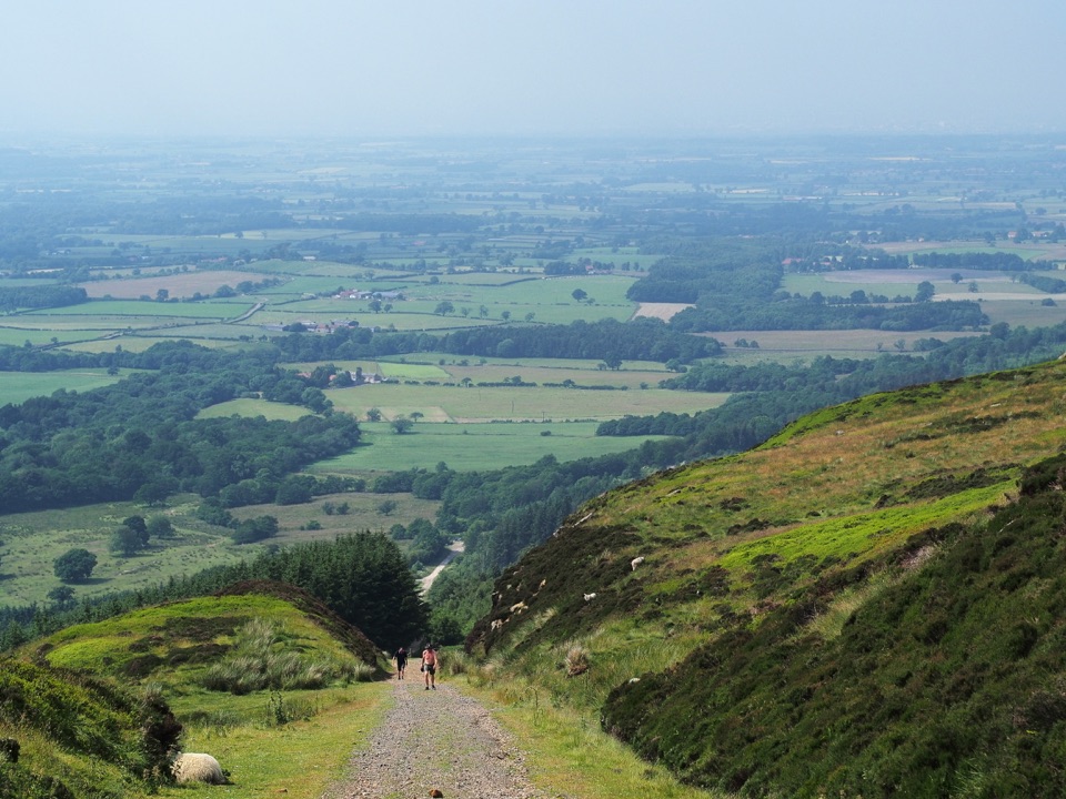 39Ingleby Incline WalkClimb a 1-in-5 ironstone incline to wide Cleveland plain views
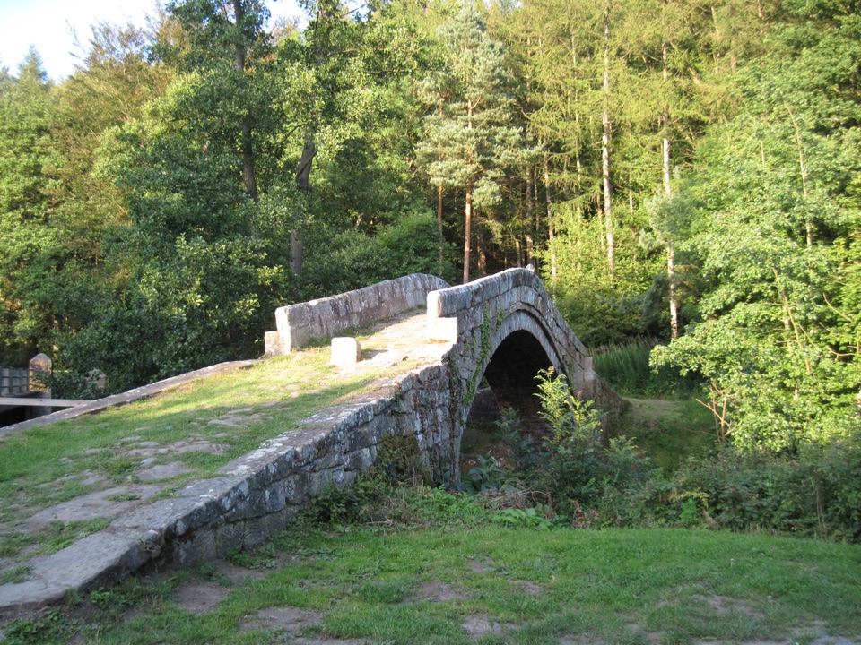 40Glaisdale and Egton BridgeAncient stone trods, a 1619 bridge, and high Esk Valley views
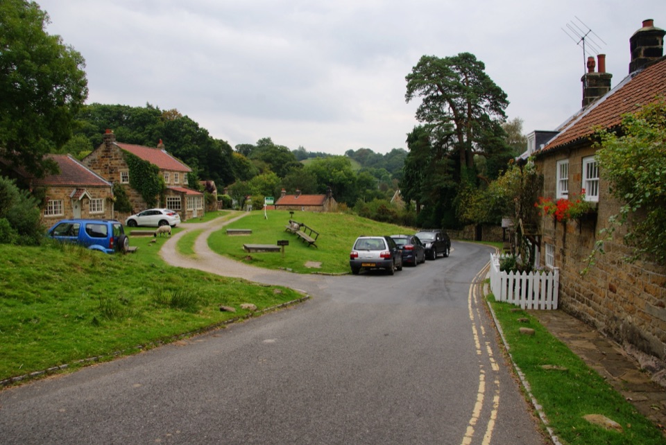 41Grosmont to Beck HoleBluebell woods, riverside valley, then an old railway line home
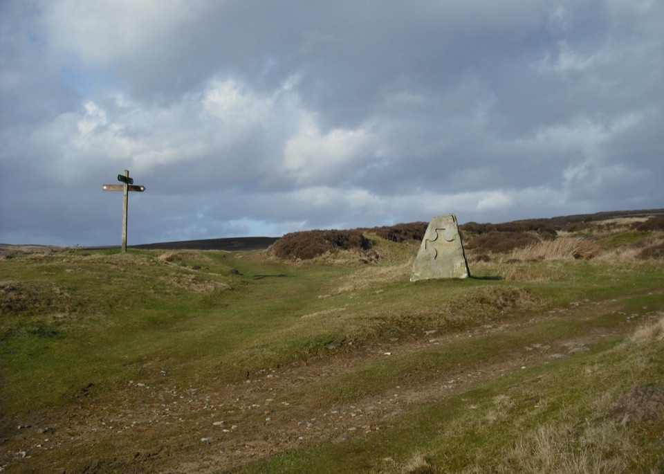 42Hutton-le-Hole and Lastingham Circular WalkField paths and moor edge link two villages under Spaunton's escarpment
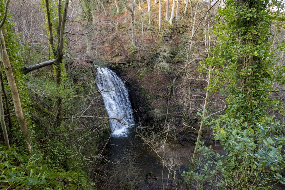 43May Beck and Falling FossShady woodland loop to a waterfall, tea garden and beckside path
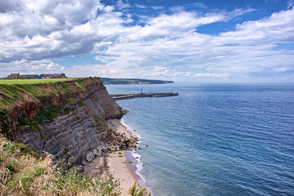 44Whitby WanderClimb the 199 Steps, walk clifftops, loop home on the Cinder Track
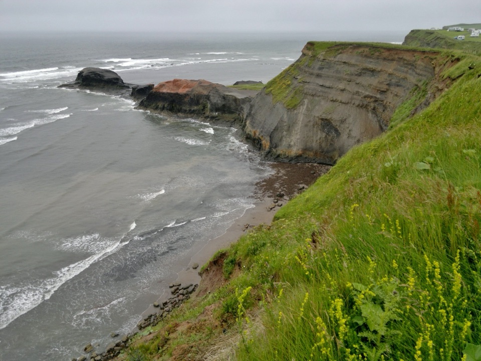 45Whitby to Robin Hood's BaySeven clifftop miles from the 199 Steps to Robin Hood's Bay
 46Goathland & Grosmont CircularWooded old railway down to Grosmont, then open moorland climb home
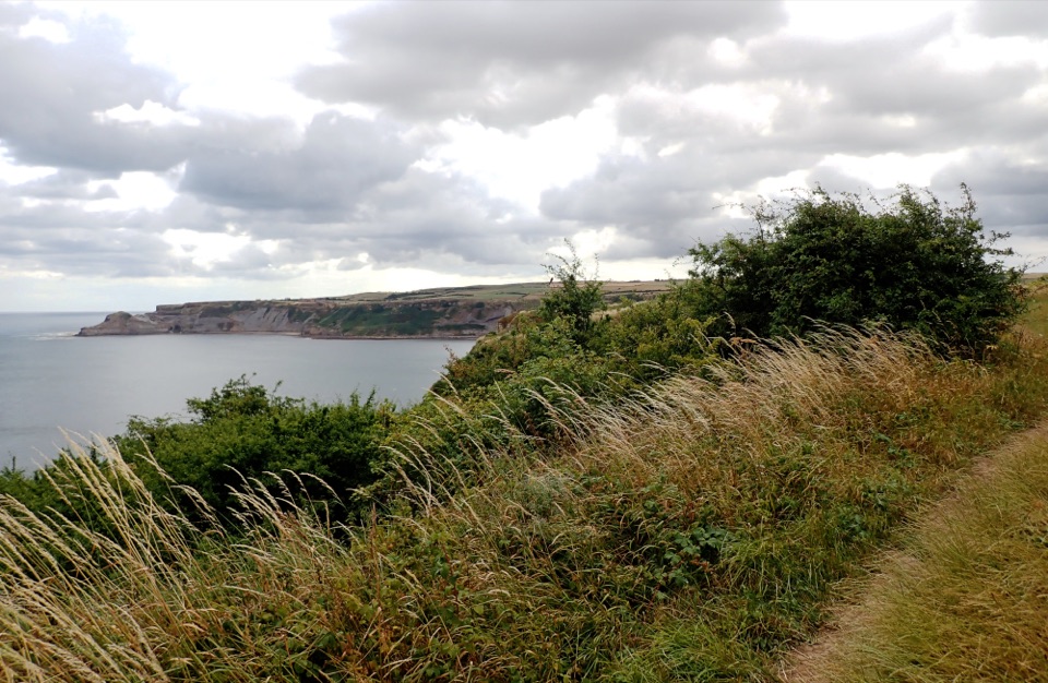 47Runswick Bay and Kettleness CircularBeach sands, steep cliff steps and a quiet old railway return
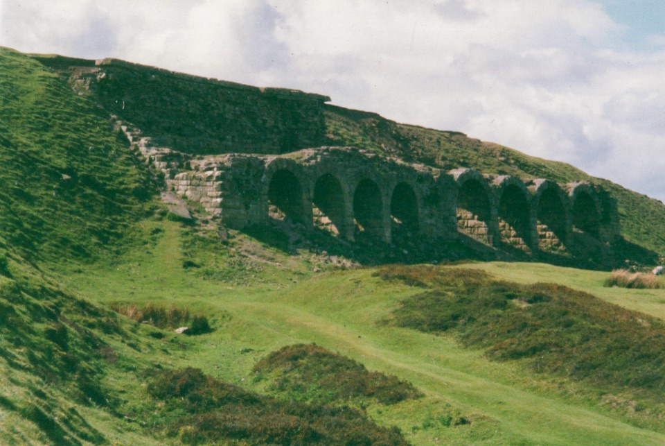 48Miles without Stiles (For some) - Rosedale Railway and KilnsNine level miles of old railway to Rosedale's 16-arch ironstone kilns
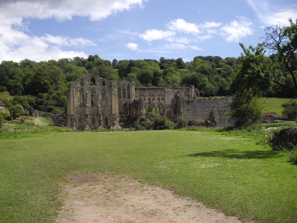 49Rievaulx LoopAncient canal line, Bow Bridge and abbey views in one easy hour
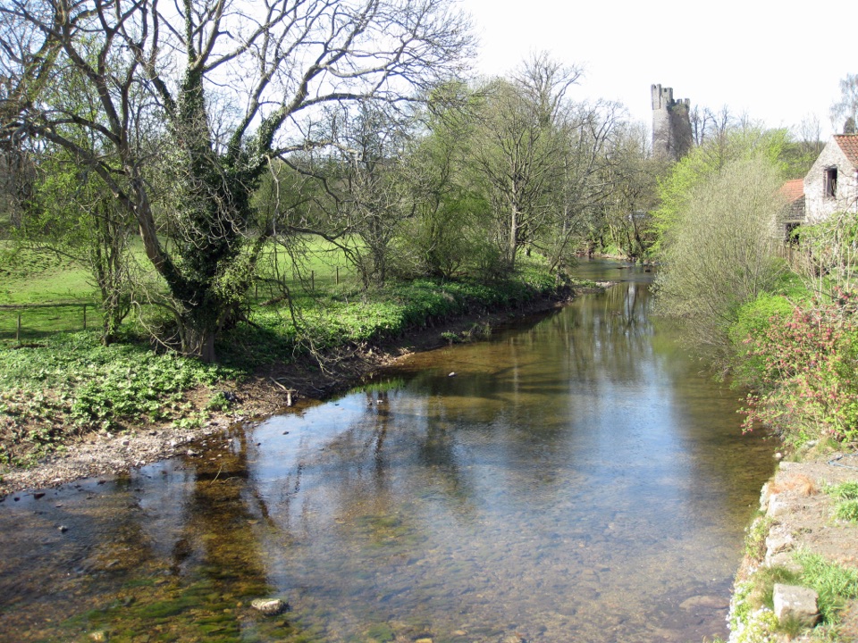 50Helmsley Circular RouteEasy river loop along both banks of the Rye, through beech woodland
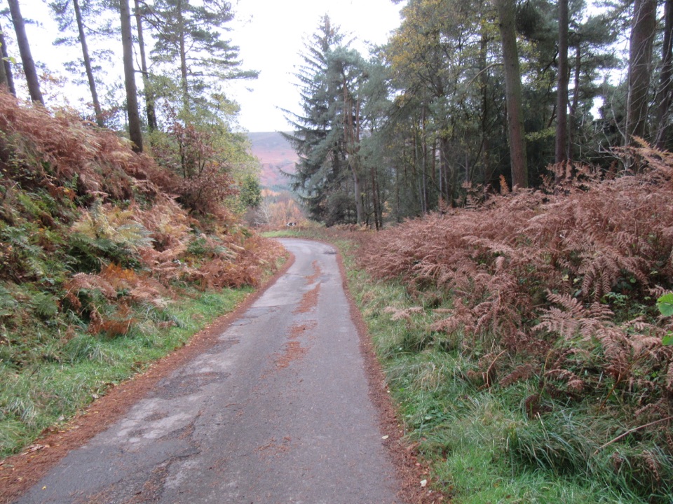 51NewtondaleSix miles of forest tracks and dale views above a steam railway
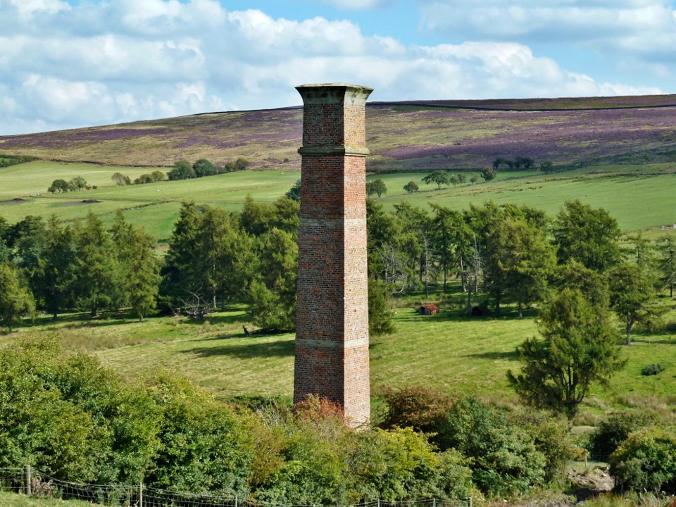 52Warren Moor Mine from KildaleQuiet lanes and a steep grass descent to a lost ironstone mine
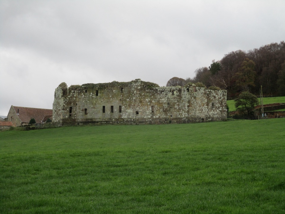 53Danby Castle WalkA short loop to a castle spur, returning over humpbacked Duck Bridge
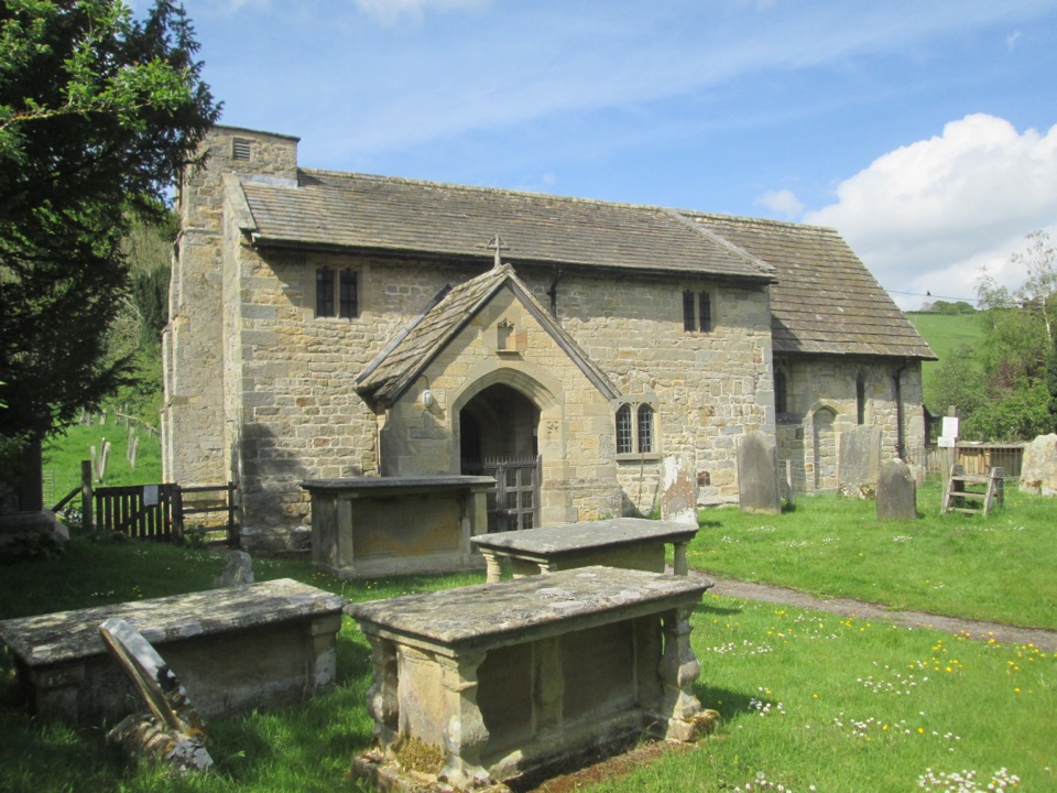 54Thornton-le-Dale and Ellerburn CircularAn easy hour beside the beck to Ellerburn's ancient church
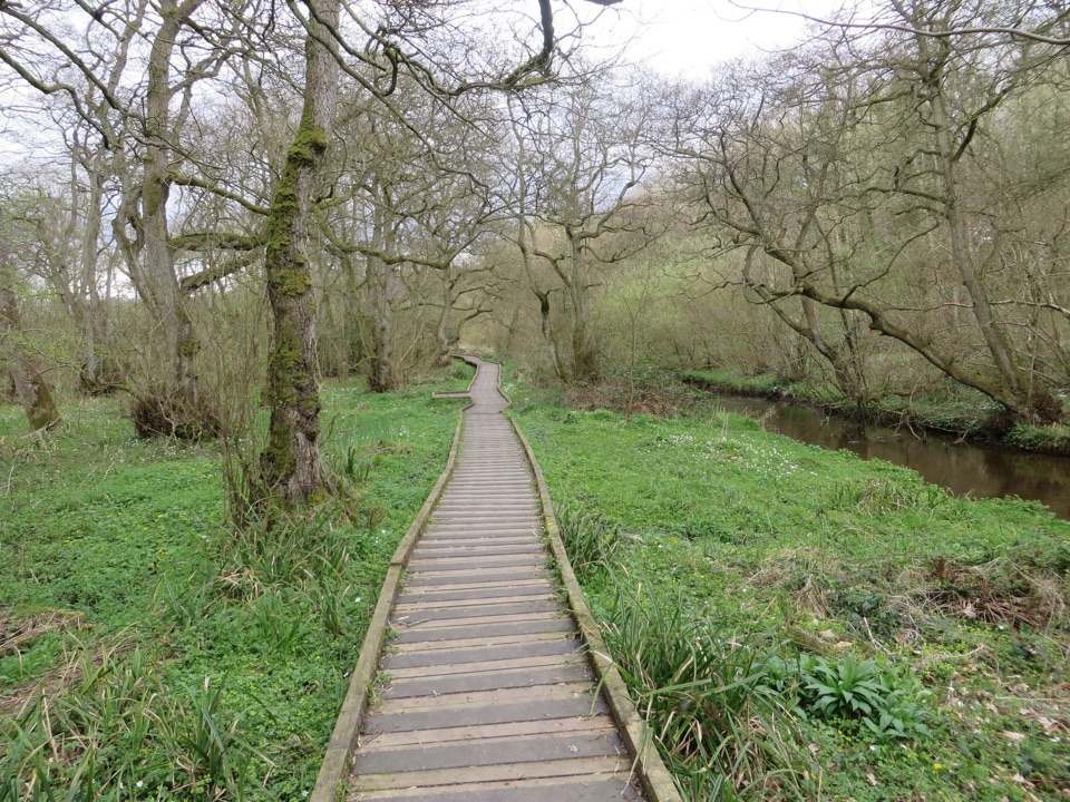 55Forge Valley Woods WalkLevel riverside boardwalk through ancient woodland in a meltwater gorge
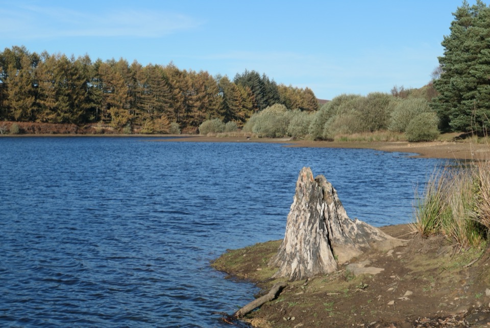 56Cod Beck Reservoir CircularWide, level shoreline loop with an embankment crossing and woodland bridge
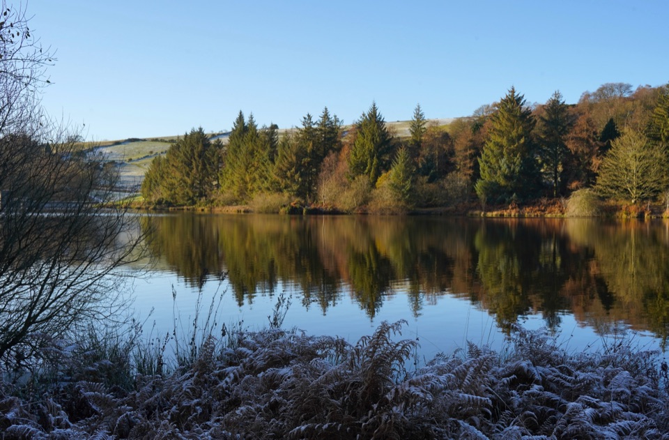 57Osmotherley and Cod BeckMoorland climb, radio mast views, reservoir woods, then Cleveland Way home
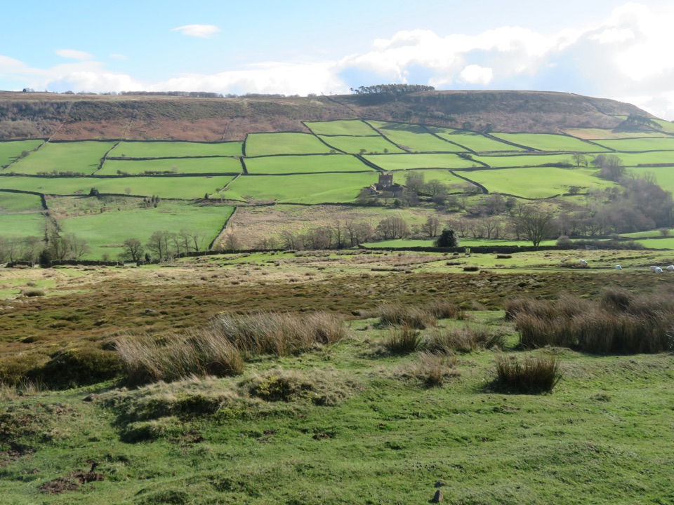 58Danby, Ainthorpe and Little Fryup Dale WalkRidge views, a standing stone and a castle above Little Fryup Dale
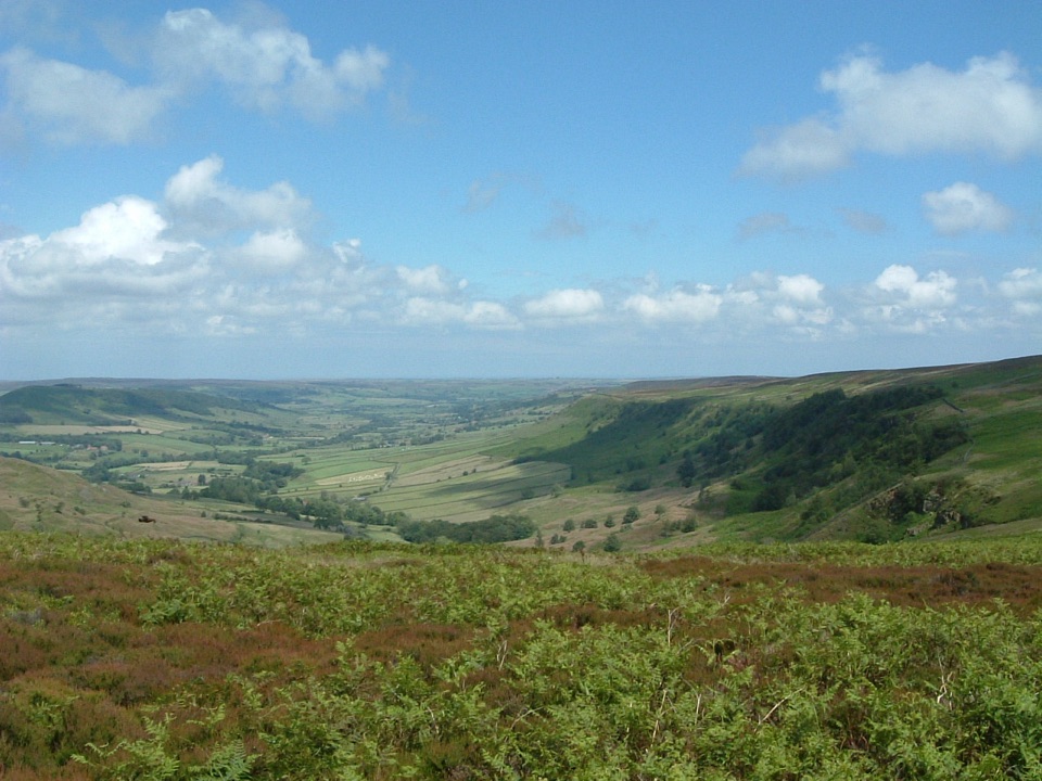 59Great Fryup Dale and Glaisdale MoorSteep bracken descent into a quiet dale, then flagged open moorland60Rosedale Abbey and Blakey Ridge Circular WalkRiverside fields climb to an old ironstone railway high above Rosedale
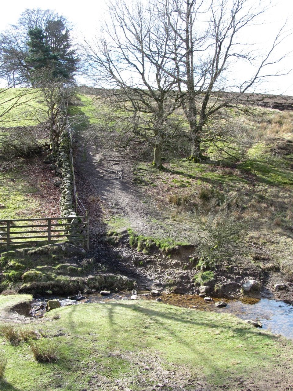 61Lastingham and Rosedale CircularMoorland loop from Hutton-le-Hole with an ancient crypt and wide views
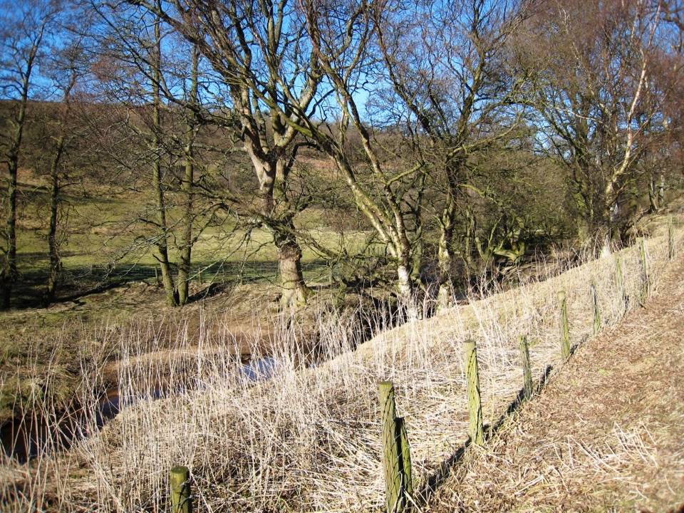 62Baysdale CircularRemote moorland circuit above Baysdale Beck, past a private abbey site
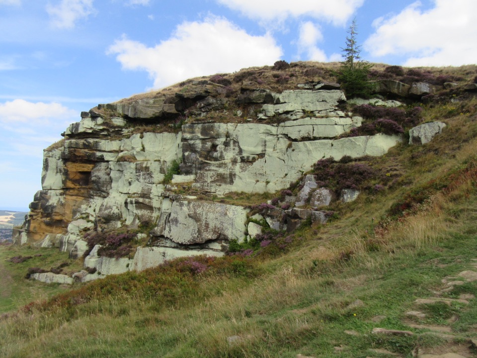 63Highcliff Nab and Guisborough Moor CircularForest tracks and heather climb to a sandstone crag above Guisborough
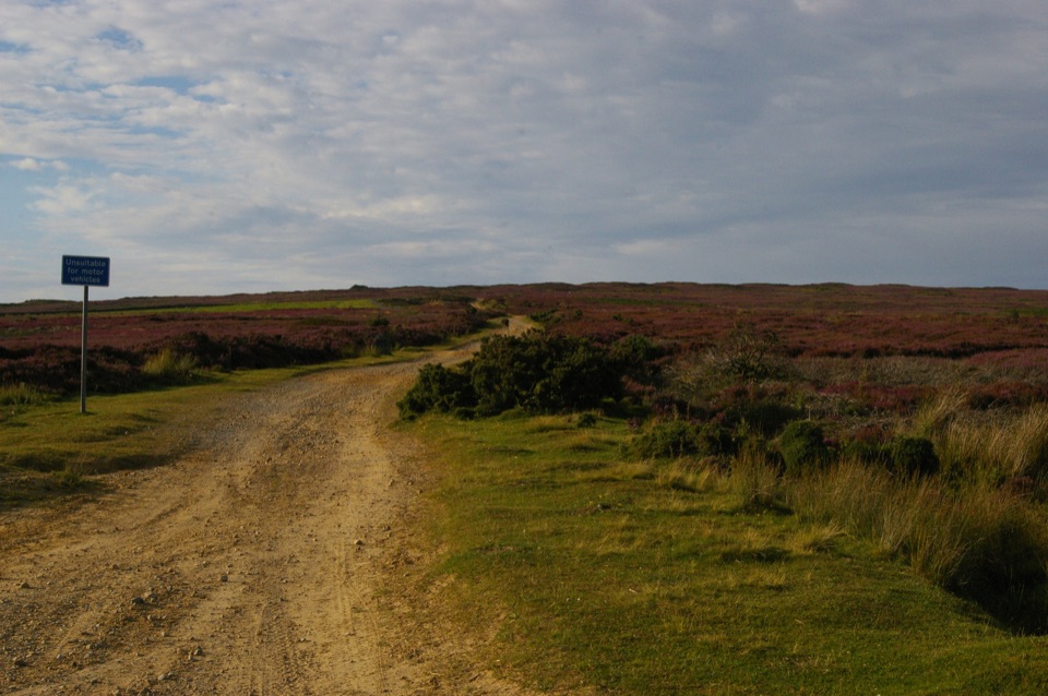 64Rudland Rigg, Cockayne, Bilsdale East Moor and BransdaleOld drove road ridge, hidden dale hamlet and a long moor return
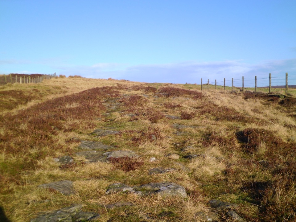 65Wheeldale Moor CircularForest tracks then four miles of open, boggy moor past boundary stones
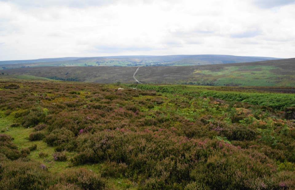 66Kildale Moor WalkRough, boggy moorland loop with big views and almost no waymarkers
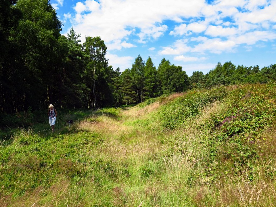 67Cawthorn Roman Camps CircularA mile of Roman earthworks, easy paths and a wide moorland viewpoint
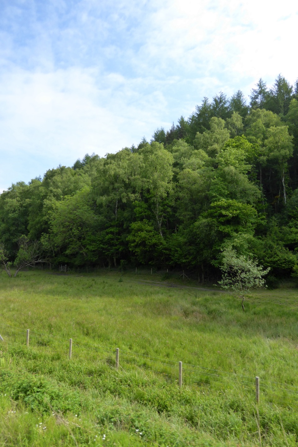 68Saltergate to Pickering WalkMoorland edges, sandstone pillars and a long walk down into Pickering
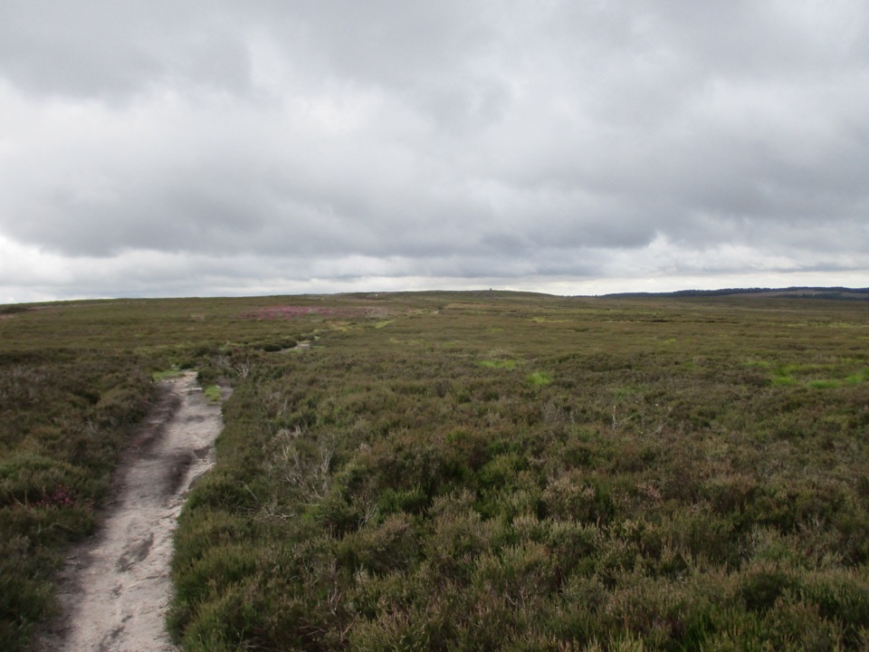 69Newtondale Halt to Goathland Station WalkRide the rails in, walk out over heather moorland to Goathland
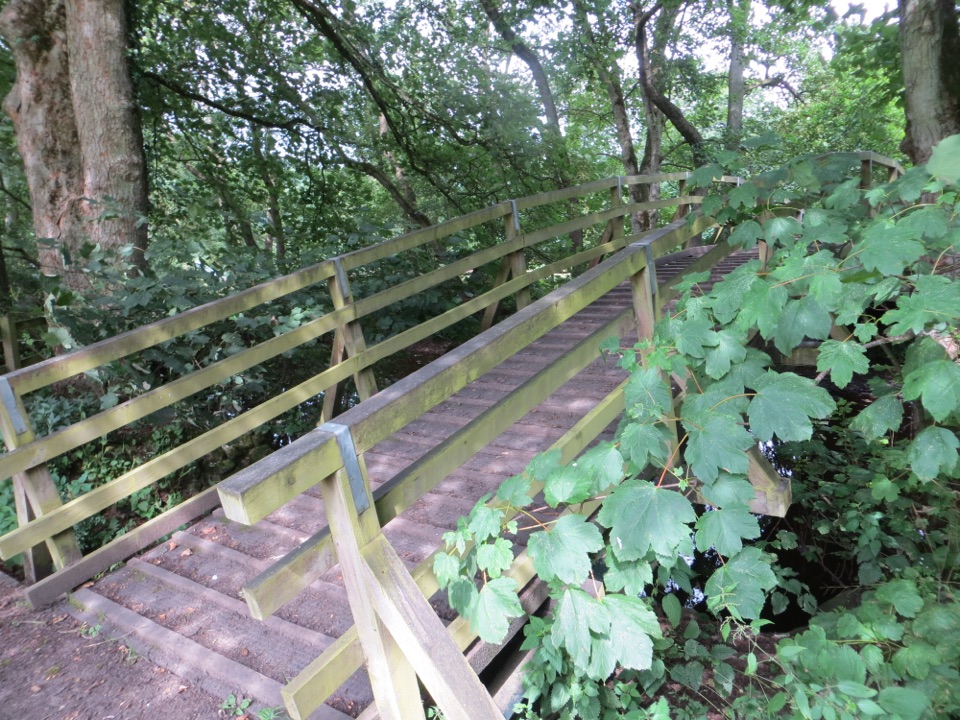 70Cropton Round WalkField paths, winding river and woodland circuit from Cropton village
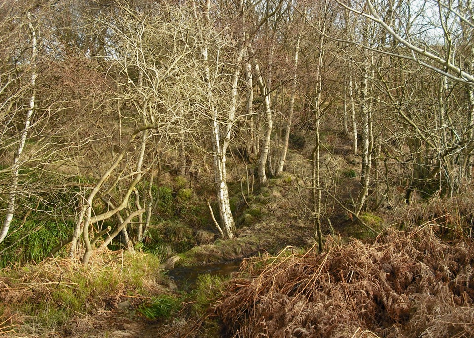 71Howdale Moor and Brow MoorHeather moorland loop above Ravenscar, coast views and burial mounds
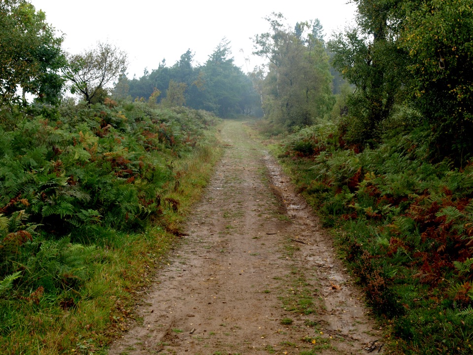 72Miles without Stiles (For some) - Broxa ForestGentle forest tracks to an escarpment edge above Harwood Dale
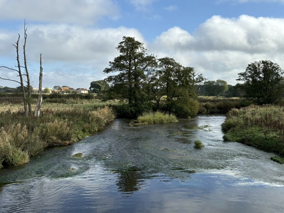 73Harome to Nunnington CircularRiverside loop between two villages, with dippers, kingfishers and otter
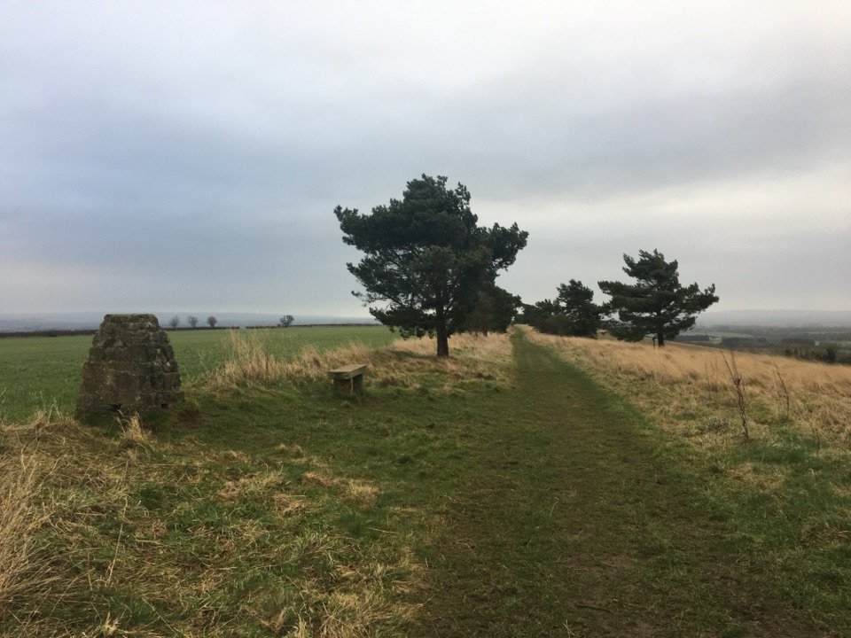 74Nunnington Circular RoutePasture, riverbank and a bank-top ridge with wide Rye valley views
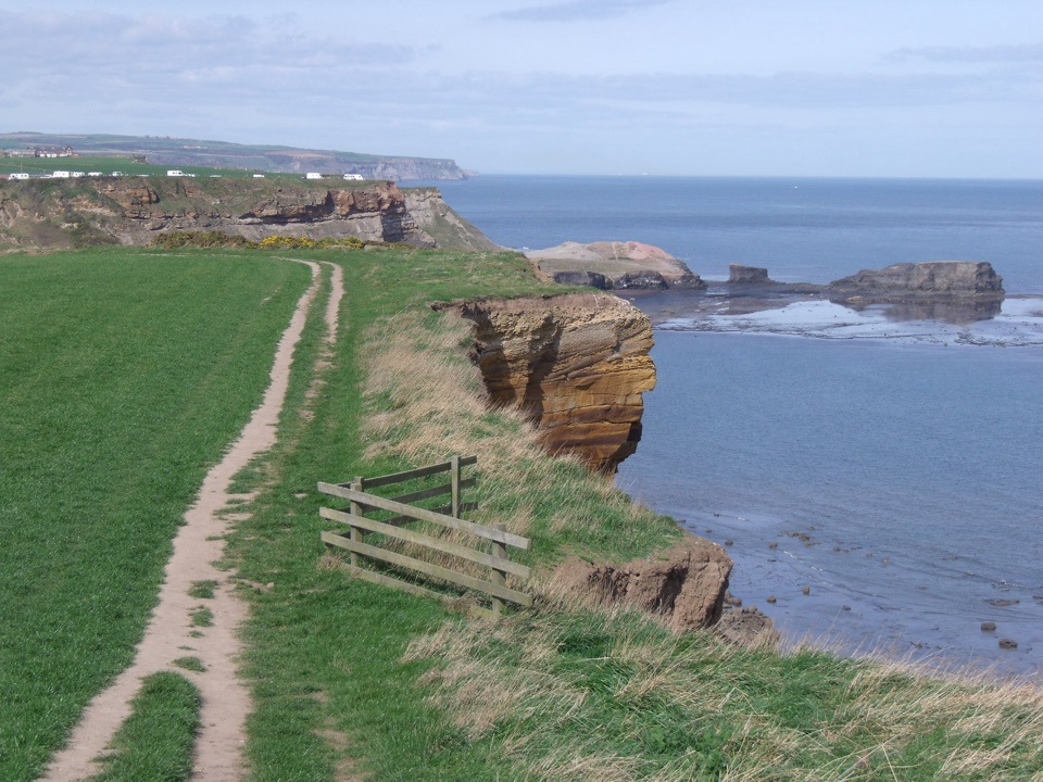 75Whitby and Hawsker CircularCliff-top Cleveland Way out, easy Cinder Track home, past Whitby Abbey
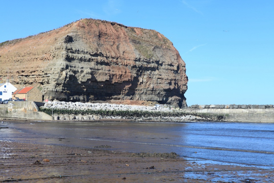 76Staithes, Cowbar, Roxby Wood and Borrowby DaleClifftops, harbour cottages, a wooded beck and a lost harbour
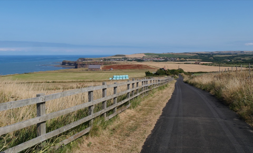 77Boulby to Whitby via the Cleveland WayClifftop walk from Boulby to Whitby via Staithes and Runswick Bay
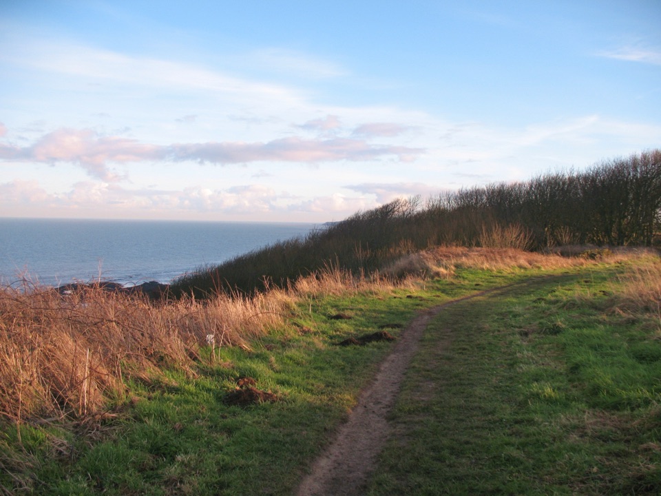 78King Charles III England Coast Path: North East and East CoastCliffs, harbour towns and 328 miles of coast, Humber to the Border
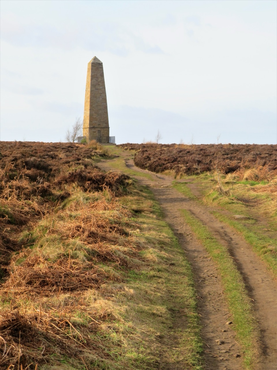 79Samaritan WayA strenuous moorland loop to Captain Cook's Monument
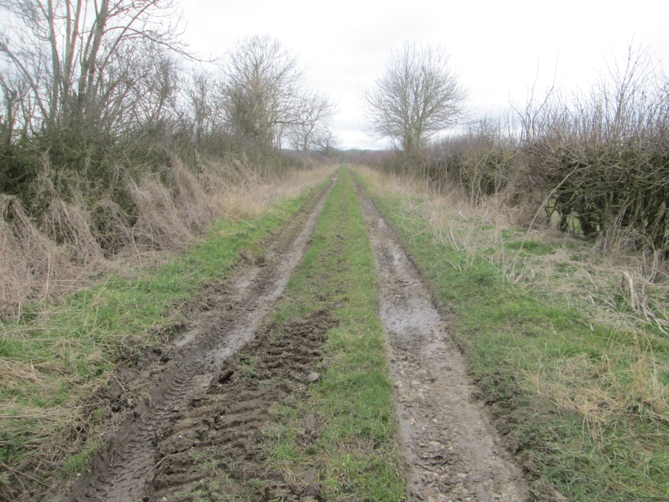 80White Rose WayCity statue to sea: 104 miles across Yorkshire to Scarborough sands
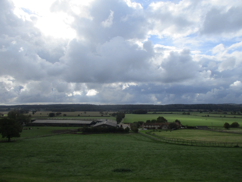 81Ebor WayHelmsley to Ilkley on foot: farmland, York's walls, then gritstone moor
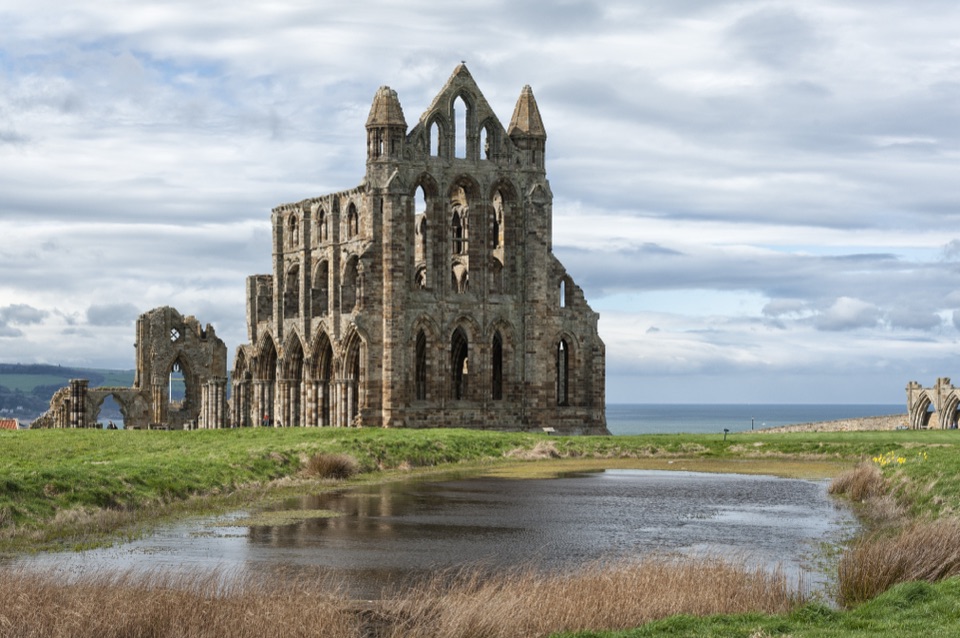 82St Hilda's WayFrom a holy well to Whitby Abbey across moor and Esk Valley
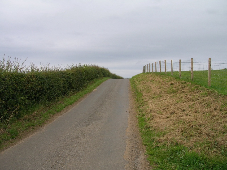 83Mulgrave WayNine miles one way from Sandsend's coast to Glaisdale's Esk Valley
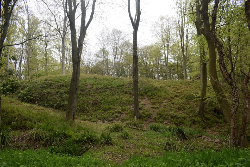 84Foss Mill CrossingField paths and beck bridges to Foss Mill's ruins and Foss Castle
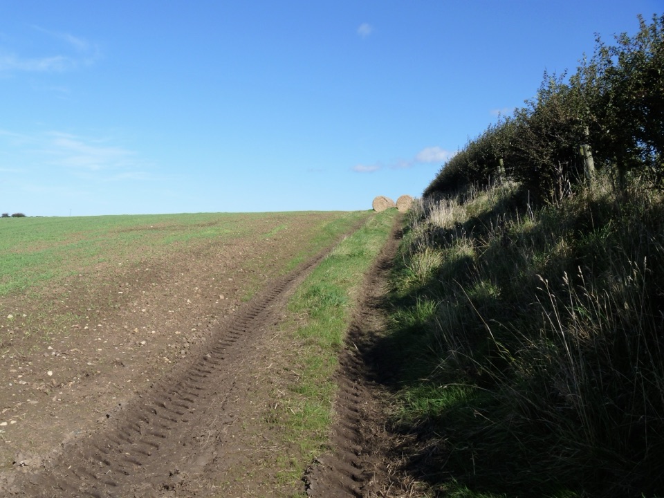 85Guard House WayField edges, old railway and filtered sea views, Runswick Bay to Lythe
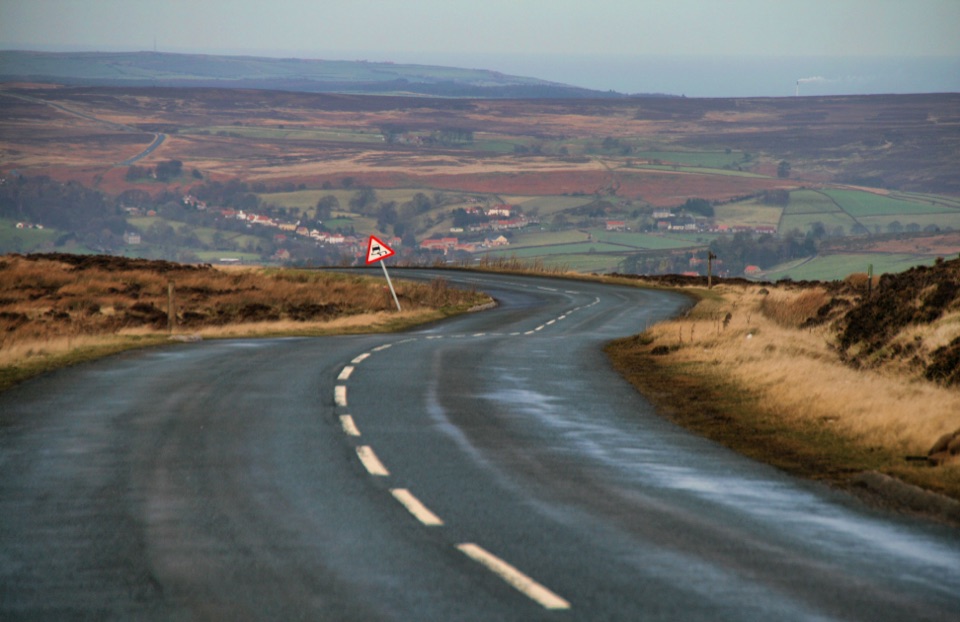 86Danby Dale, Blakey and Westerdale (Esk Valley Walk 1)Big moorland loop from Castleton over Blakey Ridge past Fat Betty
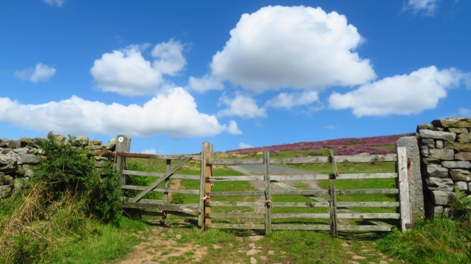 87Castleton to Lealholm (Esk Valley Walk 2)Wooded valley paths climb to Danby Beacon, then moor down to Lealholm
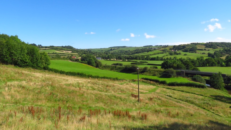 88Lealholm to Grosmont (Esk Valley Walk 3)Riverside miles between four Esk Valley villages, station to station
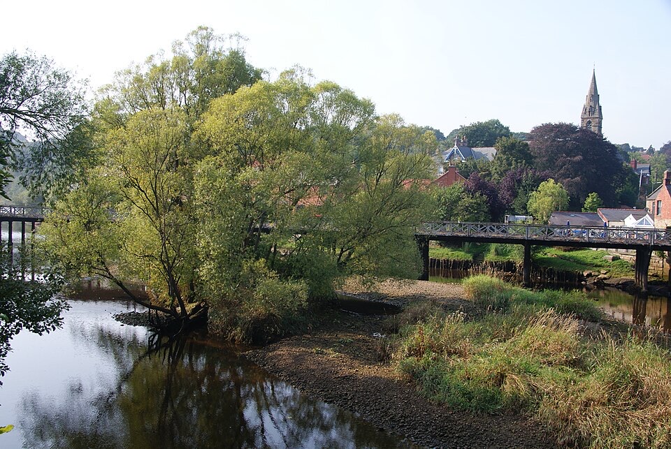 89Grosmont to Whitby (Esk Valley Walk 4)Valley bridleways and villages from steam railway to Whitby pier
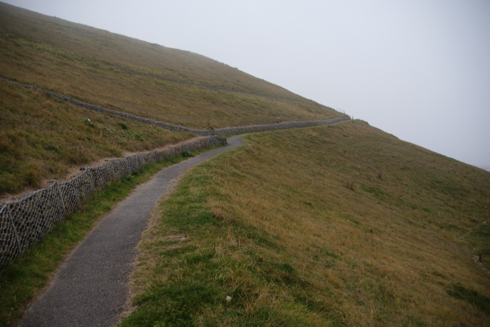 90Miles without Stiles (For all) - WhitbyLevel clifftop path above Whitby Abbey, out and back with sea views
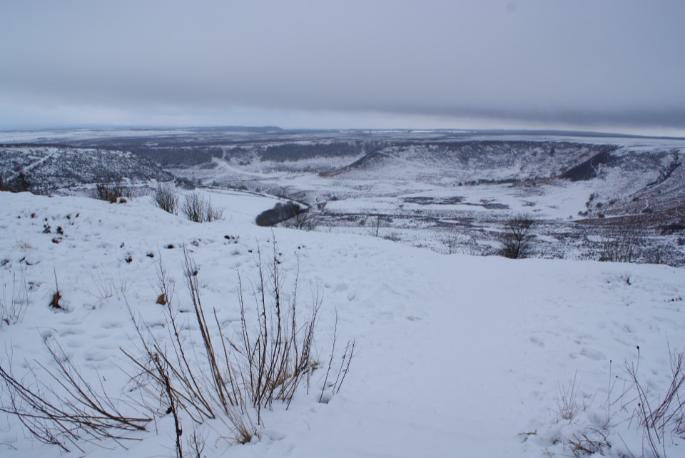 91Hole of Horcum car park to the viewing platformShort smooth path to a platform above a 400-foot moorland amphitheatre
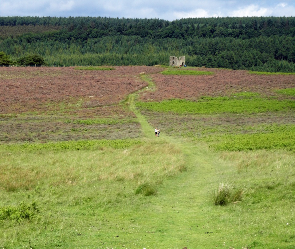 92Hole of Horcum Car Park to Skelton TowerMoorland amphitheatre walk to a ruined tower above Newtondale
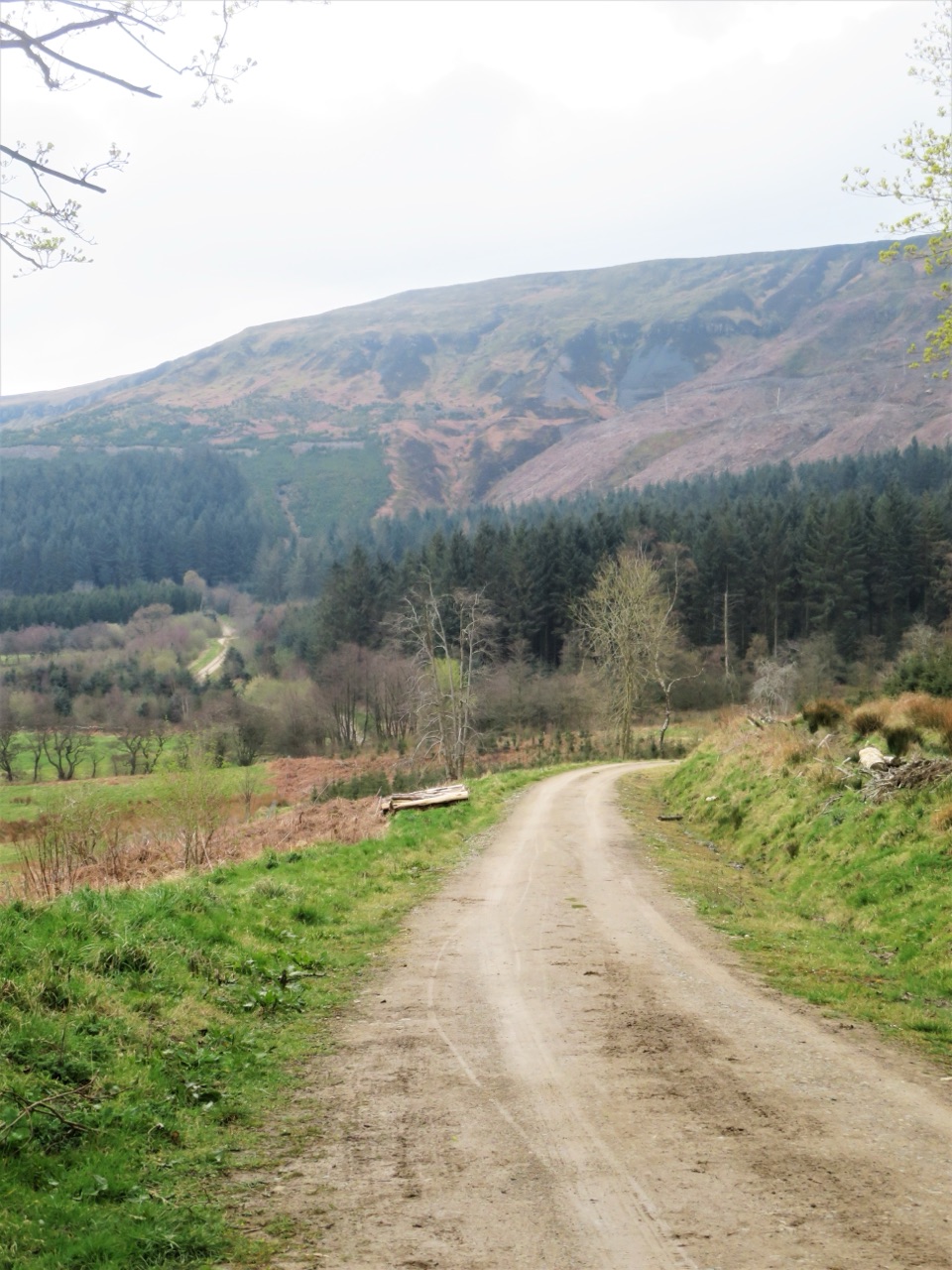 93Miles without Stiles (For some) - Clay Bank and Greenhow PlantationSteep forestry tracks, shady plantation and big views to Roseberry Topping
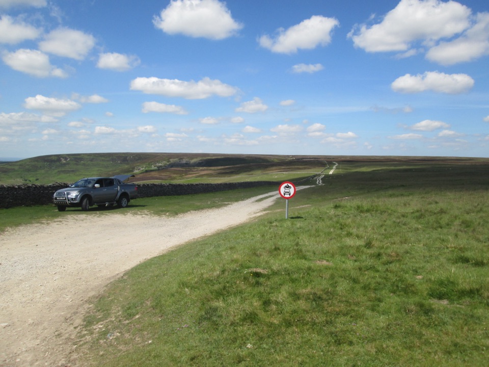 94Miles without Stiles (For many) - Hambleton Drove RoadAncient drovers' road to a wide Thorodale viewpoint, gentle and short
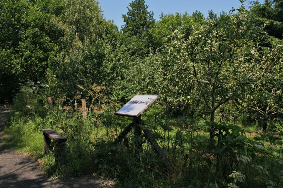 95Miles without Stiles (For all) - Esk Valley to Beck HoleLevel old railway beside the Murk Esk, three bridges to Beck Hole
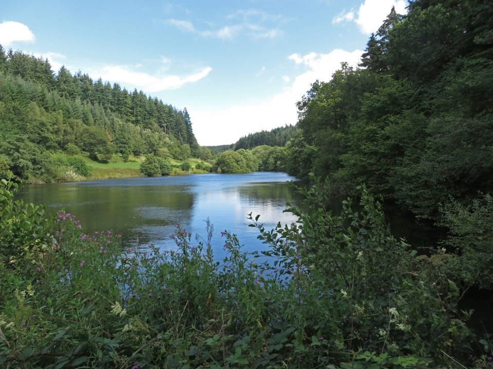 96Lakeside Trail at Dalby ForestBoardwalks, dam views and Dragonfly artwork on a half-mile lake loop
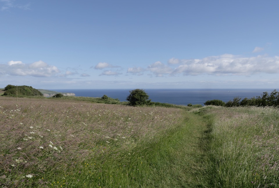 97Miles without Stiles (For some) - RavenscarShort cliff-top loops from Station Square, level or steeper options
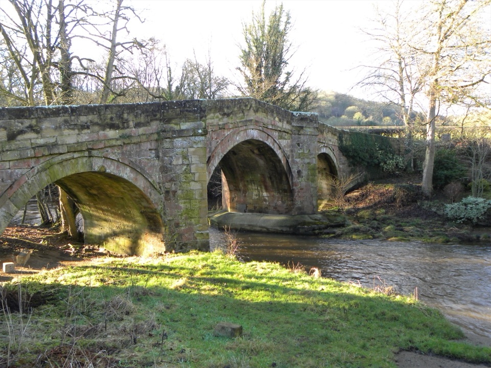 98River Folk Audio TrailShort river valley loop with downloadable audio stories by Rievaulx Abbey
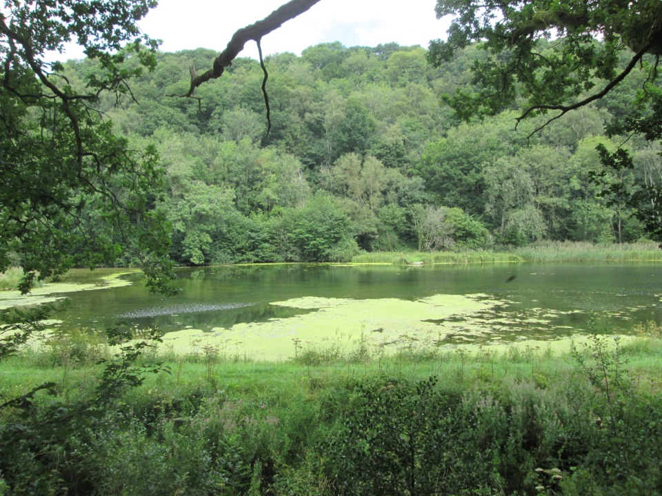 99Miles without Stiles (For many) - NettledaleA gentle woodland track to ponds and a Cleveland Way stream crossing
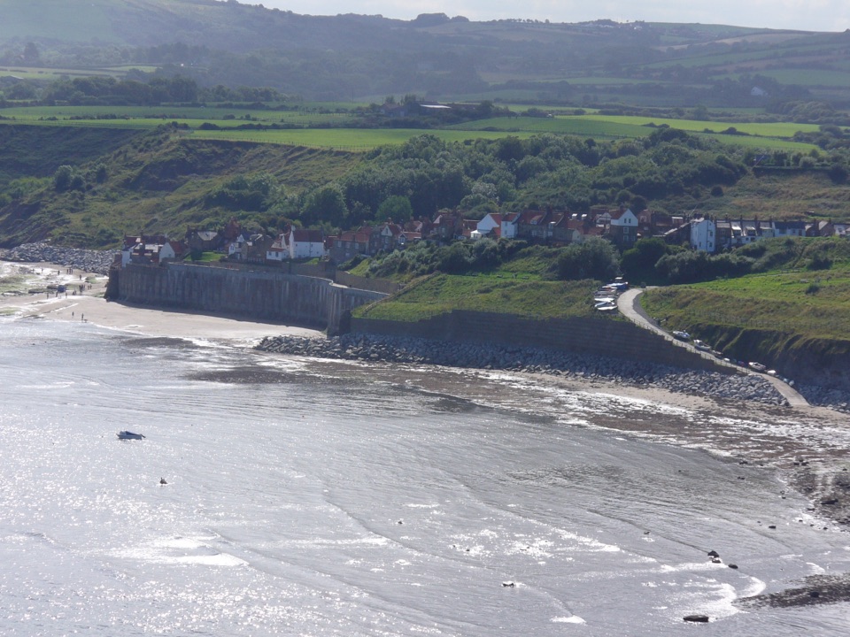 100Robin Hood's Bay Miles without Stiles WalkSurfaced clifftop stroll to a sweeping view across the bay to Ravenscar
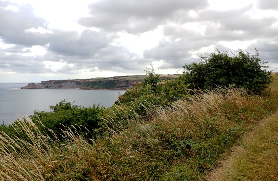 101Miles without Stiles (for some) Runswick BayLevel clifftop roll to wide views over Runswick Bay and Kettleness
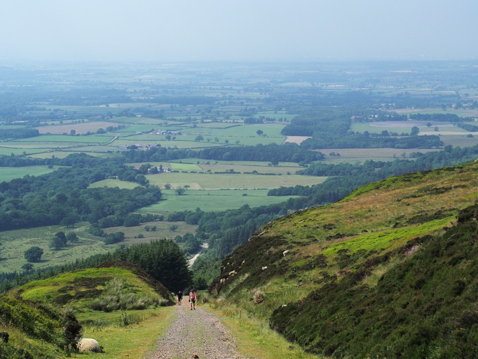 102Miles without Stiles (For some) - Ingleby InclineA mile of 1:5 Victorian railway incline, climbed on foot from Battersby103Miles without Stiles (For some) - Rievaulx LoopAbbey views, bridges and bluebell woods on a short, hilly 2.5-mile loop104Miles without Stiles (For some) - Farndale Daffodil WalkSurfaced riverside walk to Church Houses through wild daffodil meadows
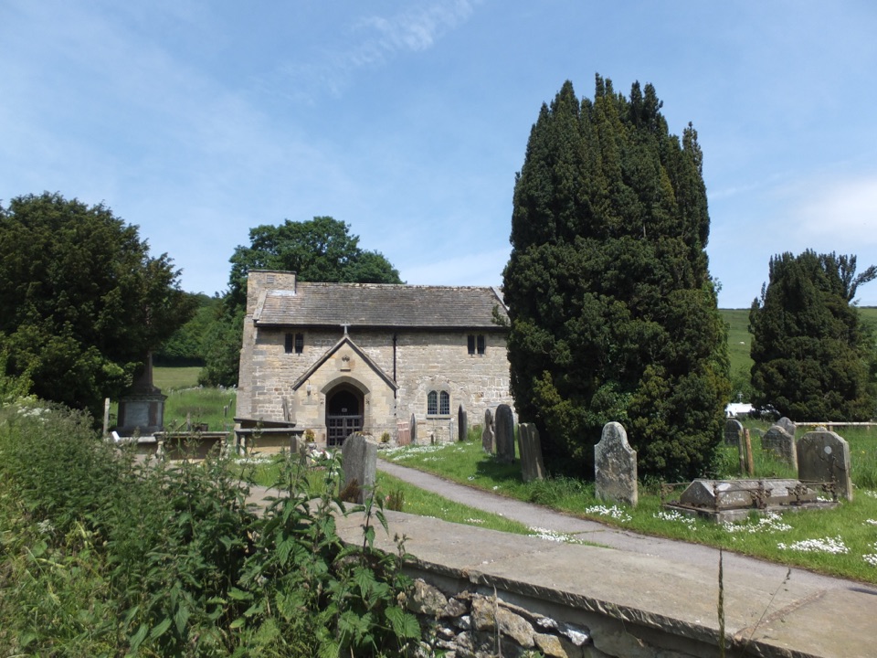 105Miles without Stiles (For some) - Thornton le DaleBeckside path to a tiny ancient church at Ellerburn, then quiet lanes
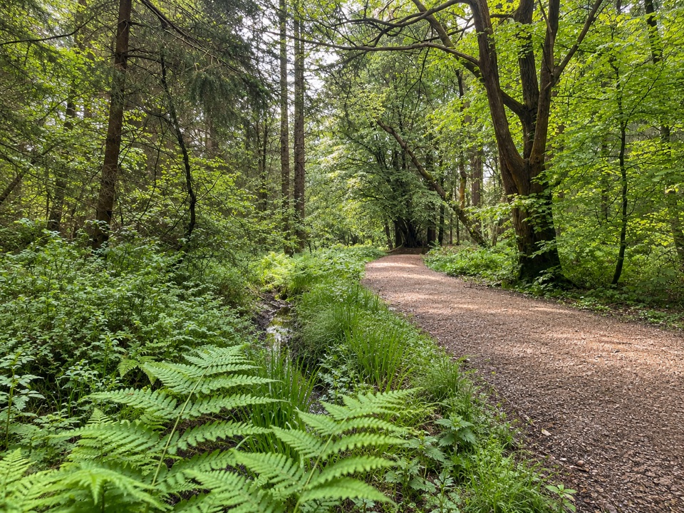 106Adderstone Rigg TrailSigned forest loop to the Adder Stone, with extensive forest views107Bridestones Trail at Dalby ForestShort, steep circuit to weathered sandstone giants above a moorland valley
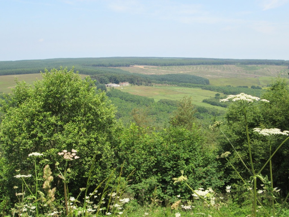 108Crosscliff View TrailHalf a mile of level forest road to a wide moorland viewpoint
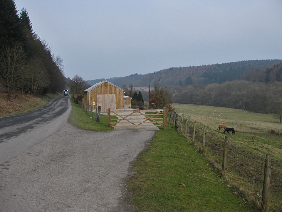 109Dalby Beck Trail at Dalby ForestA steep, bumpy forest loop linking the Dalby and Ellerburn valleys
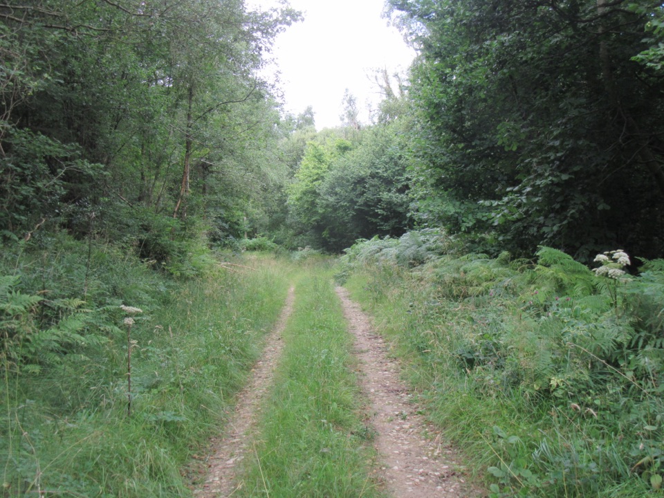 110Deepdale Habitat TrailShort purple-marked loop into a birch-lined valley and a beck crossing
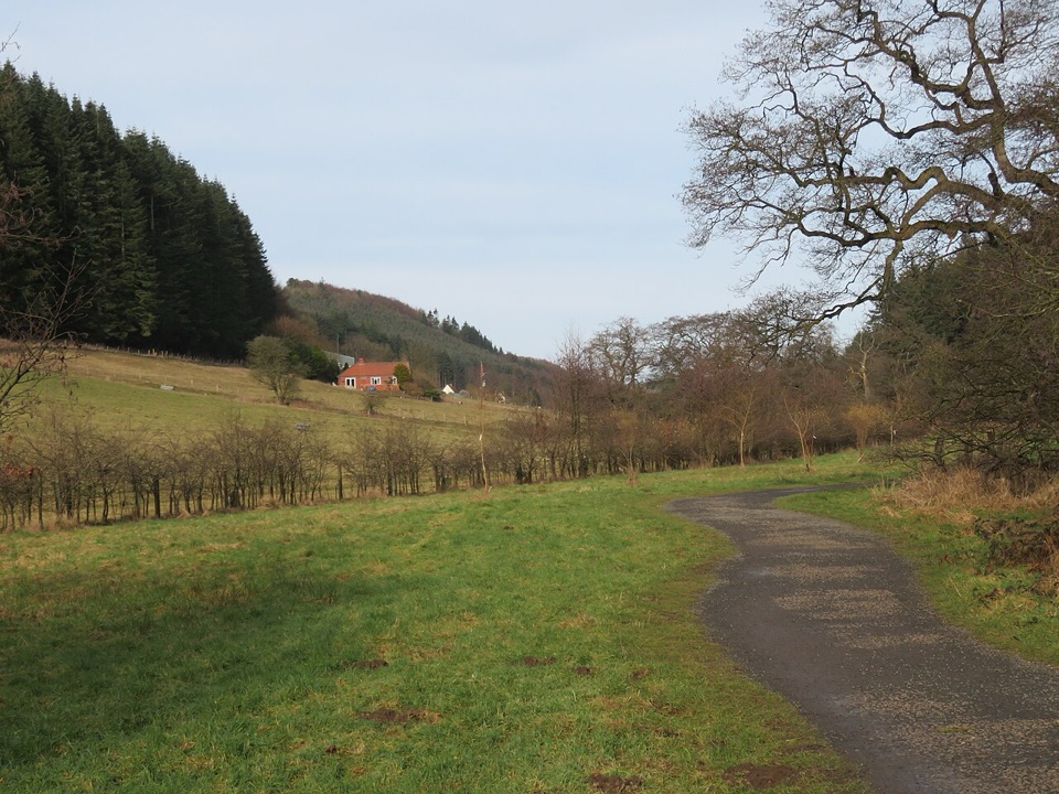 111Ellerburn TrailGentle beckside forest loop for wheels, walkers and pushchairs
 112Jerry Noddle TrailForest roads climb to Upper Langdale views and a carved sandstone shrine113Lakeside Trail at Dalby ForestBoardwalk loop around Staindale Lake with dam views and dragonfly art
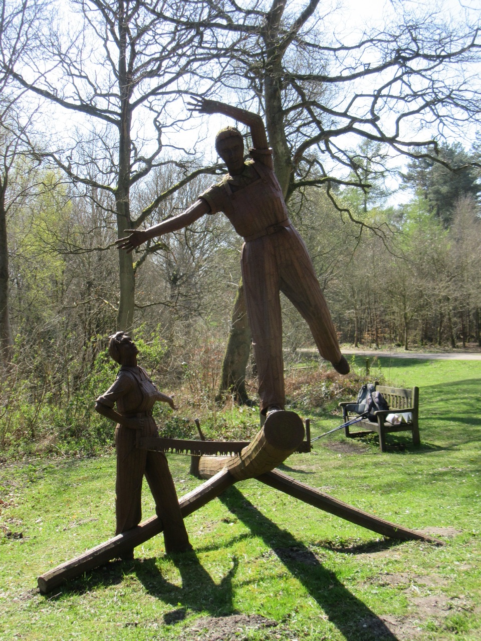 114Pexton Moor TrailShort teal-marked forest loop to the Lumberjills memorial and rigg views
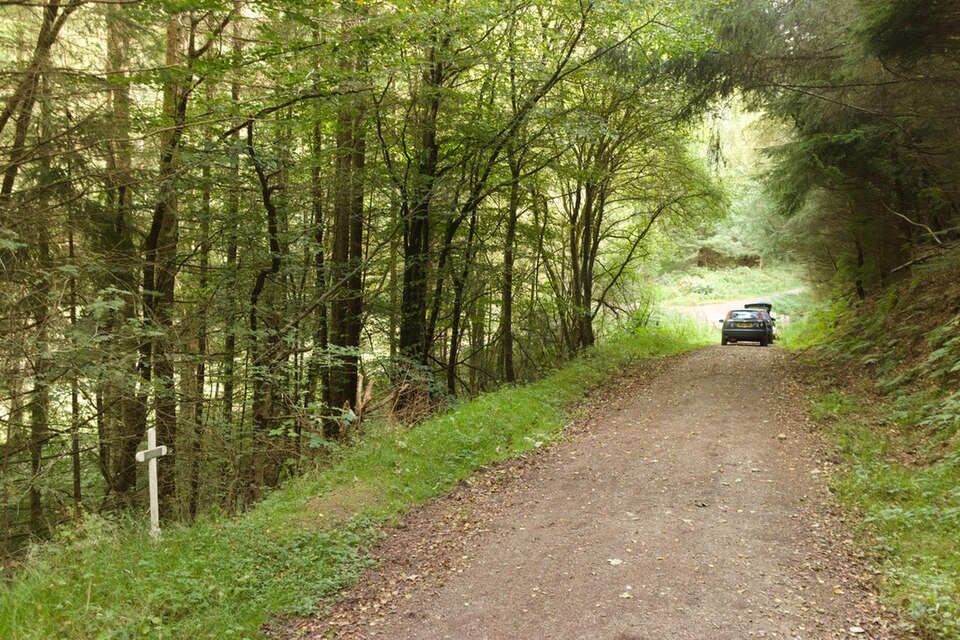 115Sneverdale Rigg Rabbit RunShort forest loop with a steady climb, historic rabbit trap and deer
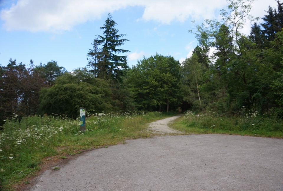 116Waitcliff TrailGravel forest loop to plateau-edge views high above Bickley and Deepdale
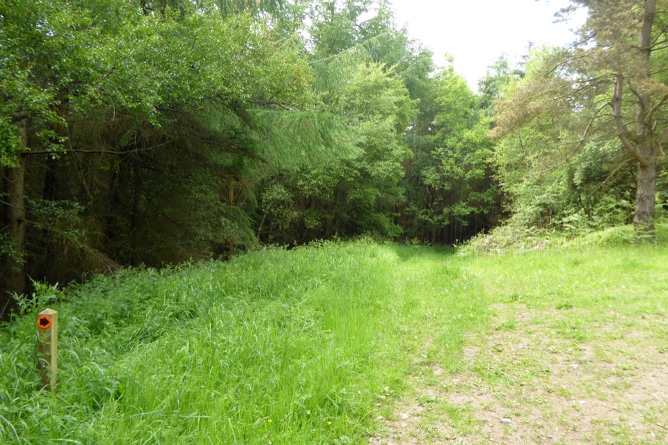 117Woodcock Way (shorter loop)Forest loop to Crosscliff views, a quiet bench and Grain Slack Gorge
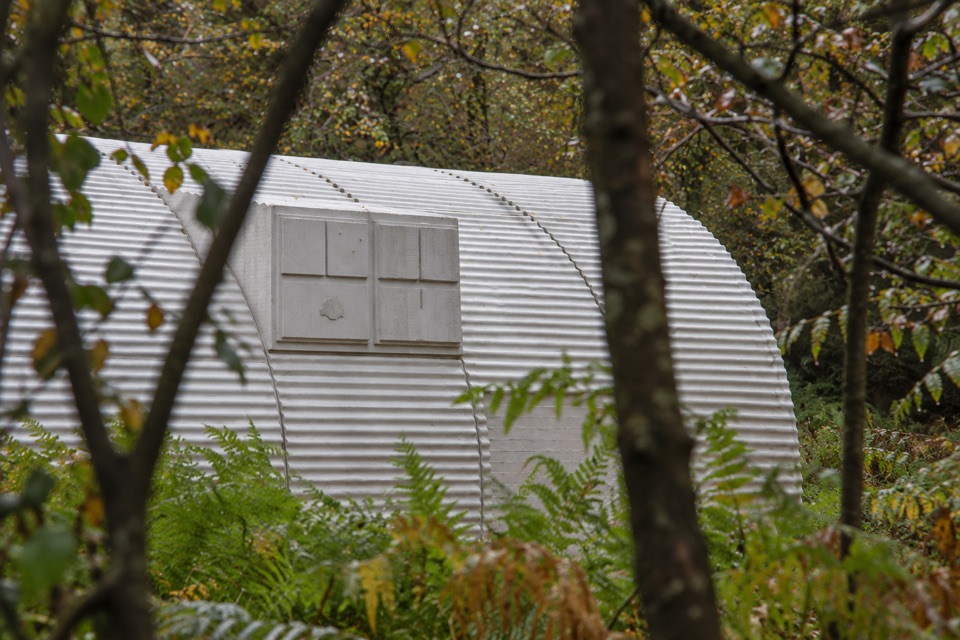 118Nissen Hut TrailA short gravel loop to Rachel Whiteread's cast-concrete sculpture
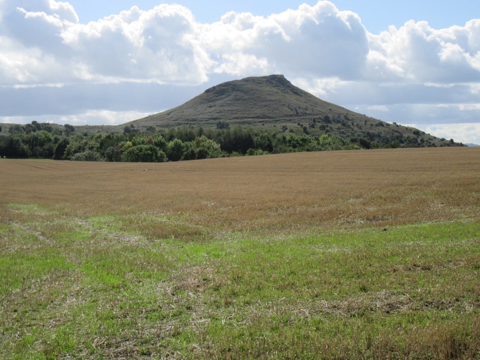 119Bousdale Beck TrailSteep beech climb, then easy forest tracks with views over Guisborough
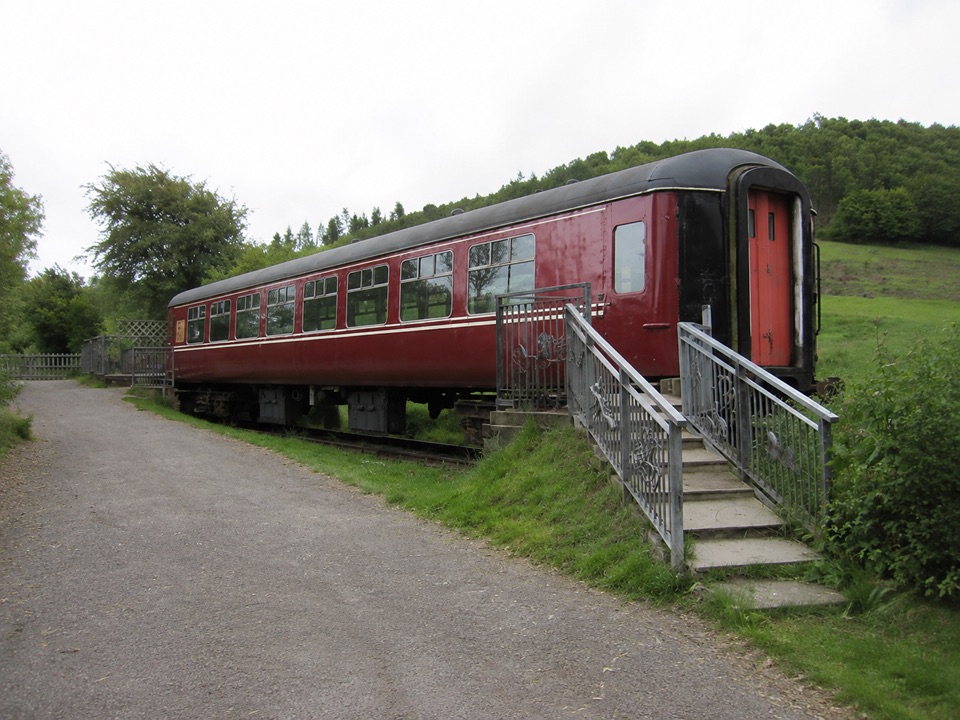 120Harrison Close TrailHalf-hour heritage loop past a railway carriage, kibble and quiet ponds
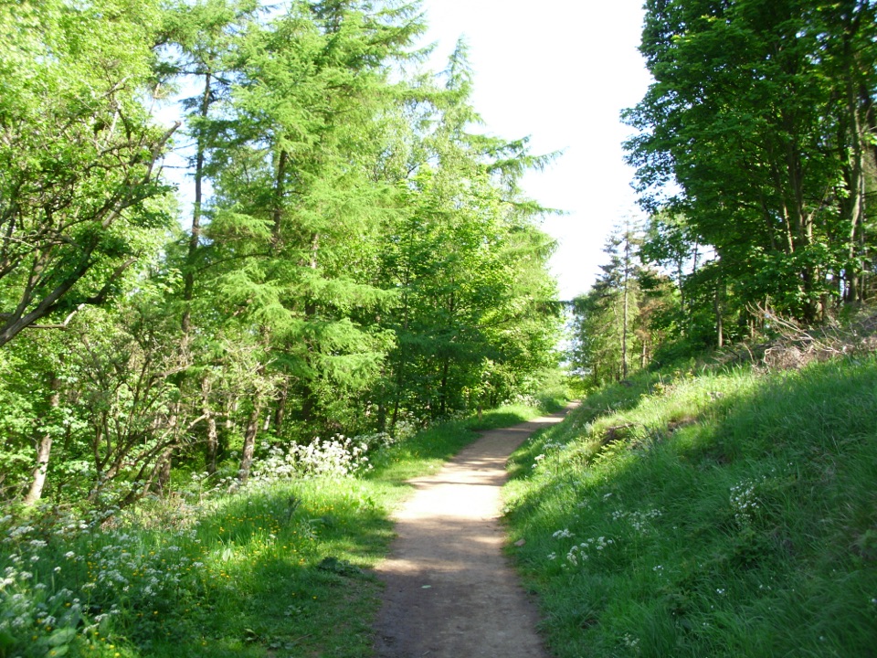 121Hutton Lowcross TrailWooded climbs to the Hanging Stone view, then quiet Blue Lake
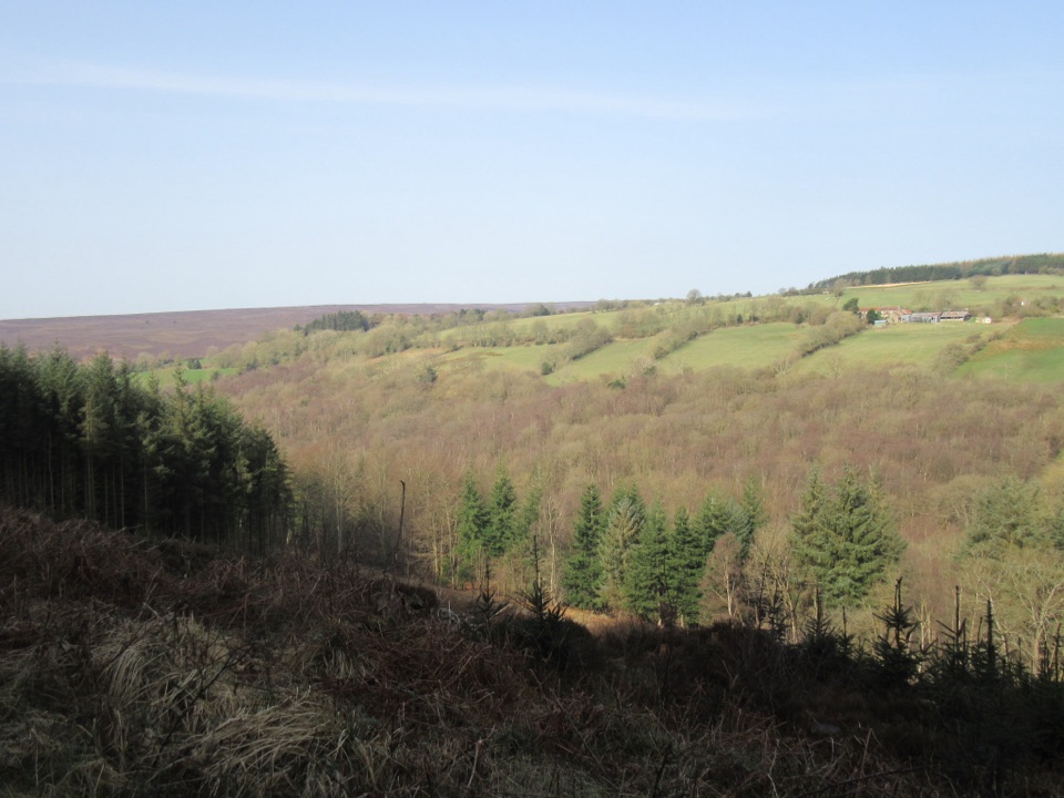 122Cropton Forest RamblePine plantation and woodland heath on a red-waymarked forest loop
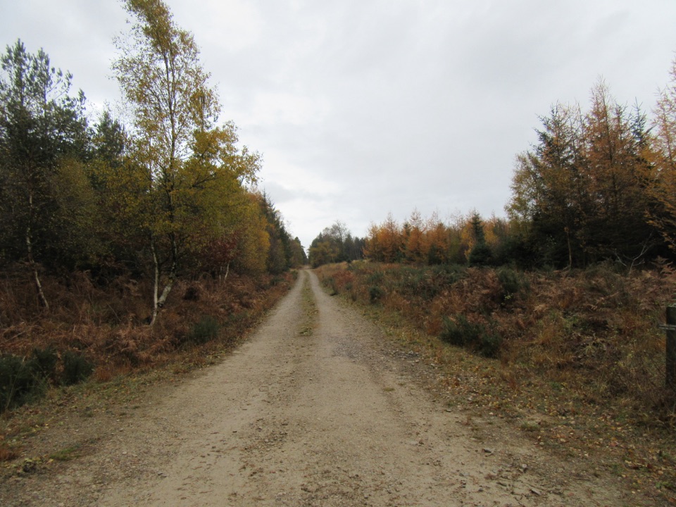 123Little Beck WalkGreen waymarkers lead a gentle mile through conifers to Little Beck.
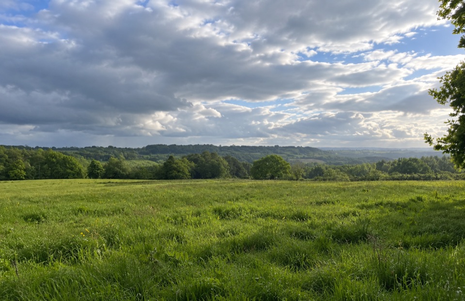 124Paradise Walk at Cropton ForestSteady climb to Vale of Pickering views, then an easy return
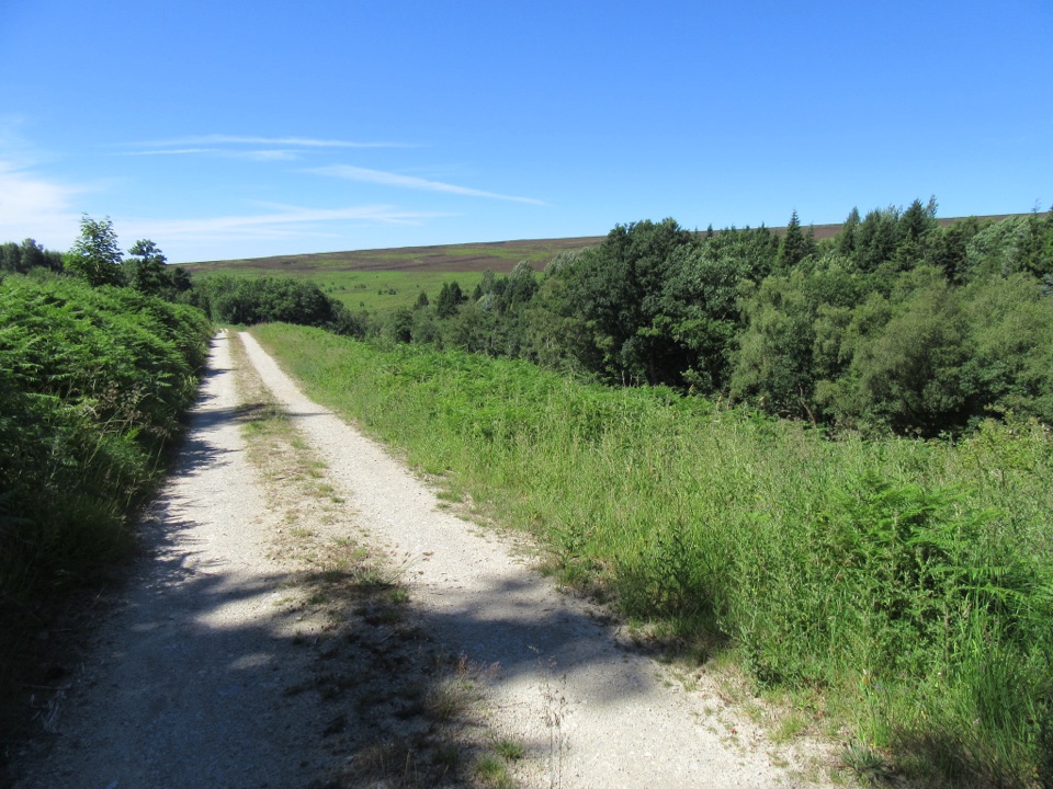 125Spiers Bank WalkGravel forest roads climb to open heather and Rosedale valley views
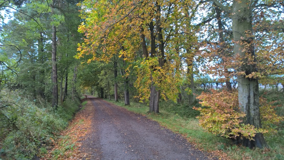 126Goathland Centenary WalkGentle two-mile village loop remembering 12 men lost in the Great War
The highest, rockiest slopes around here are a summer buffet for grizzly bears.
North York Moors Tour Guide
North York Moors, narrated.
Parkwolf is a GPS audio tour guide for North York Moors National Park. As you drive, it chimes in with what’s ahead: hidden gems, upcoming stops, history, geology, and wildlife, right through your car’s speakers.
Recorded for this place
Roseberry Topping0:00 / 0:38
“You're coming up on Roseberry Topping, the jagged cone that stands alone above the fields near Newton under Roseberry.”
Plays as you drive up to Roseberry Topping in the Parkwolf North York Moors Tour Guide.
More stories near here in the app
- Gribdale Gate and Captain Cook's Monument
- Guisborough Forest and Walkway
- The Rock Beside Roseberry
- Kildale Station and Warren Moor Mine
- 298 audio storiesacross North York Moors’s roads, triggered by GPS as you drive
- Wildlife heatmapsfor Eurasian Otter, Red Deer, Grey Seal, and 13 more
- Works offlinemaps, 126 trails, 65 places, and audio download before you lose signal
- CarPlay readysimple controls built for the drive
“Fantastic app with many points of information… It’s great to just turn on while you’re driving and it gives you an audio tour of the national Park. We love it!!!!”

