

All Blue Ridge Parkway trails
112 trails
 1Art Loeb TrailA strenuous 30.1-mile point-to-point traverse of forests, balds, and Shining Rock high country
 2Rough Ridge TrailA short, rocky Tanawha Trail climb to boardwalks, cables, and sweeping Blue Ridge views
 3Sharp Top TrailStrenuous 3-mile climb to a rocky summit with sweeping 360-degree views
 4Tennent Mountain LoopTwo open balds, big views, and a rocky five-mile loop
 5Daniel Boone Scout TrailRugged climb to Calloway Peak with ladders, cables, and big views
 6Deep Gap Trail (Mount Mitchell)Rugged high-elevation crest hike from Mount Mitchell to Deep Gap
 7Tanawha TrailGrandfather’s marquee traverse of views, boardwalks, and the Viaduct
 8Waterrock Knob TrailShort, steep climb to 6,273 ft with sweeping Southern Highlands views
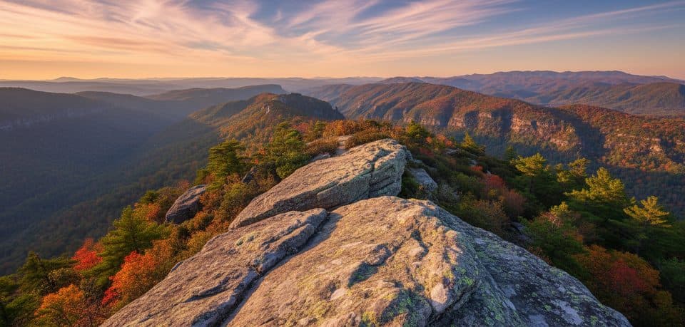 9Table Rock Mountain TrailShort, steep climb to Linville Gorge’s exposed Table Rock summit
 10Black Balsam Knob via Art LoebShort out-and-back climb to a 6,214-foot bald with sweeping 360-degree views
 11Beacon Heights TrailShort, rocky climb to twin quartzite slabs with huge views
 12Devil's Courthouse TrailA steep, mostly paved climb from the Parkway to a four-state panorama.
 13Linville Falls Plunge Basin TrailShort, strenuous drop to Plunge Basin Overlook and views of Linville Falls
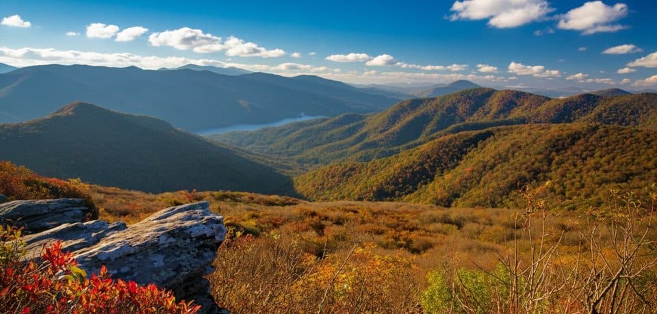 14Pinnacle TrailShort climb, giant views, and classic rhododendron tunnels
 15Craggy Gardens TrailRhododendron-lined out-and-back from the visitor center to Craggy Gardens Picnic Area
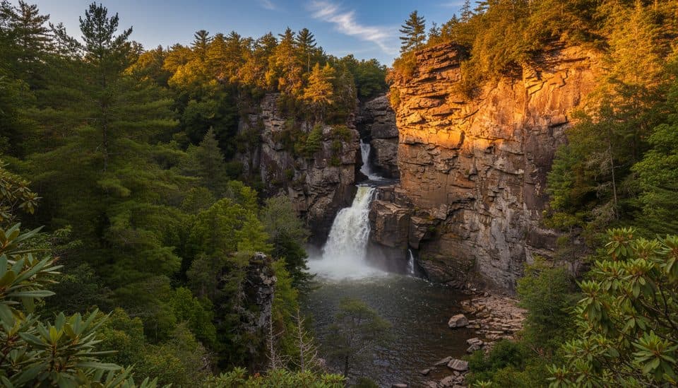 16Erwin’s View Trail (Linville Falls)Four big overlooks of Linville Falls on a short, moderate walk.
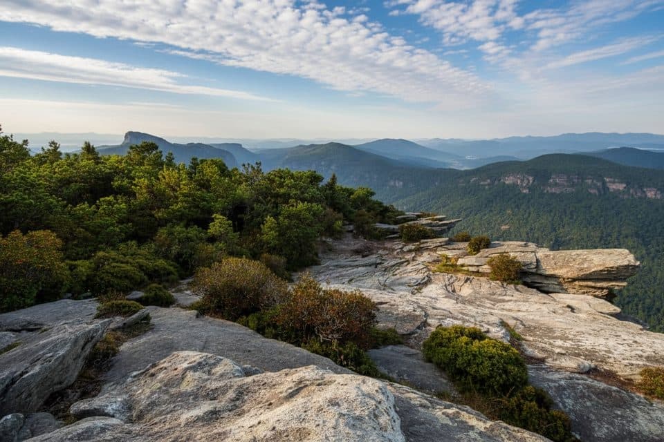 17Hawksbill Mountain TrailShort, steep climb to Linville Gorge’s blockbuster 360° views
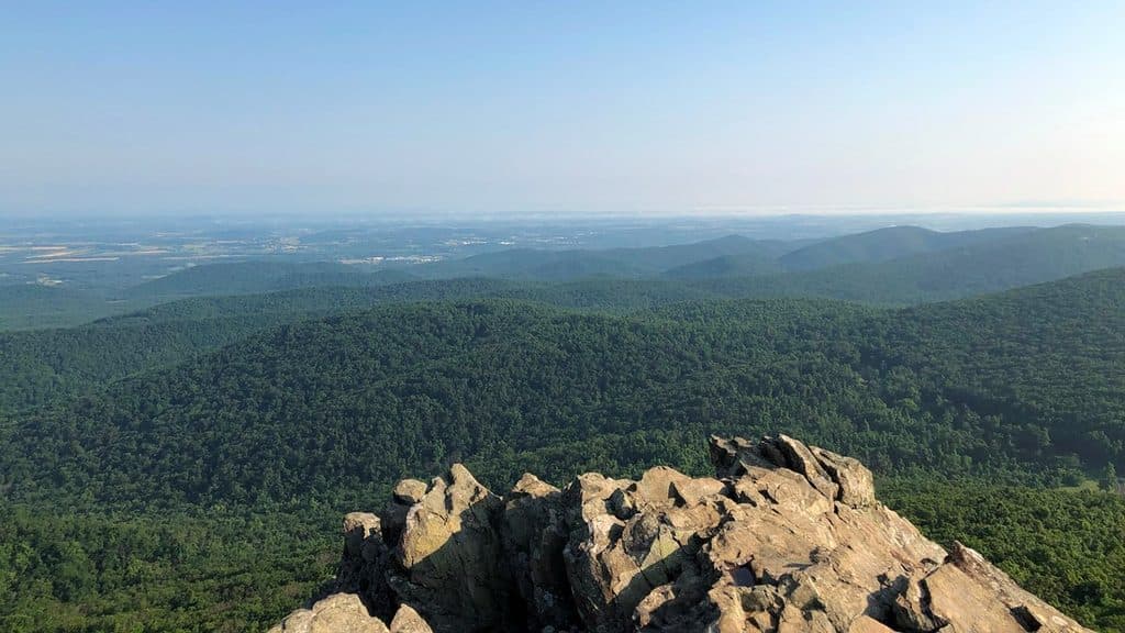 18Humpback Rocks TrailSteep mile to knockout summit views, with history on the side
 19Sam Knob TrailA short climb to a high bald with wide Blue Ridge views.
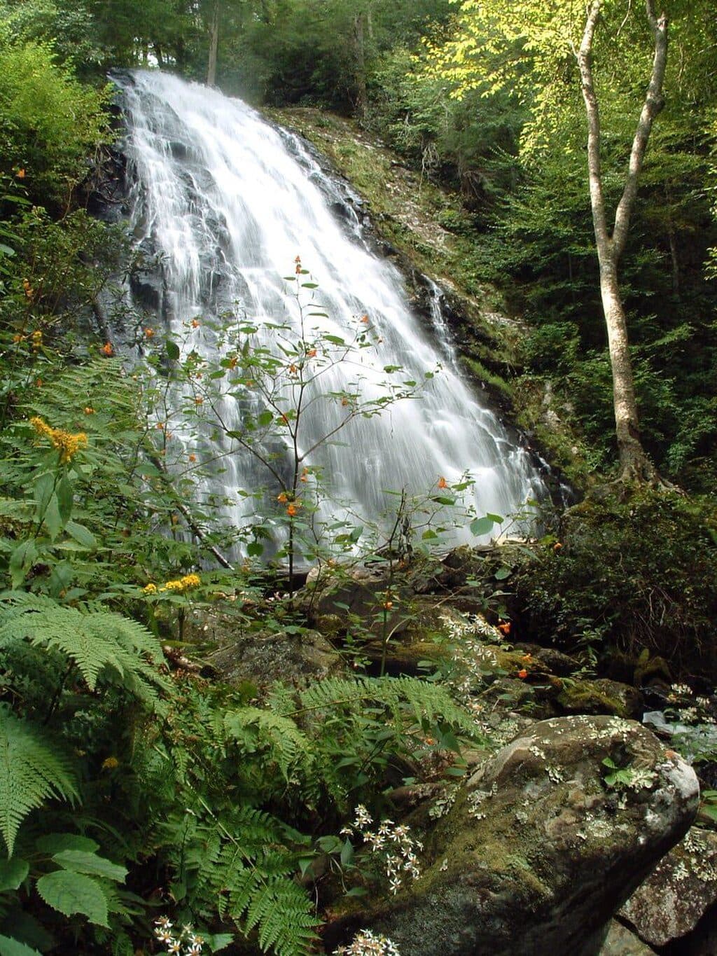 20Crabtree Falls Loop TrailA moderately strenuous Parkway waterfall loop with a steep descent and a longer, gentler climb back
 21Graveyard Fields Loop TrailTwo waterfalls and open meadows on a high-elevation loop
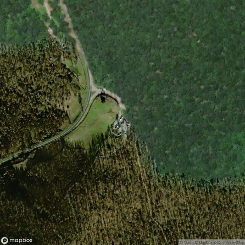 22Humpback Mountain TrailStrenuous loop to Humpback Rocks with Appalachian Trail ridge walking
 23Boone Fork TrailA varied loop to Hebron Falls with creeks, ladders, and meadows
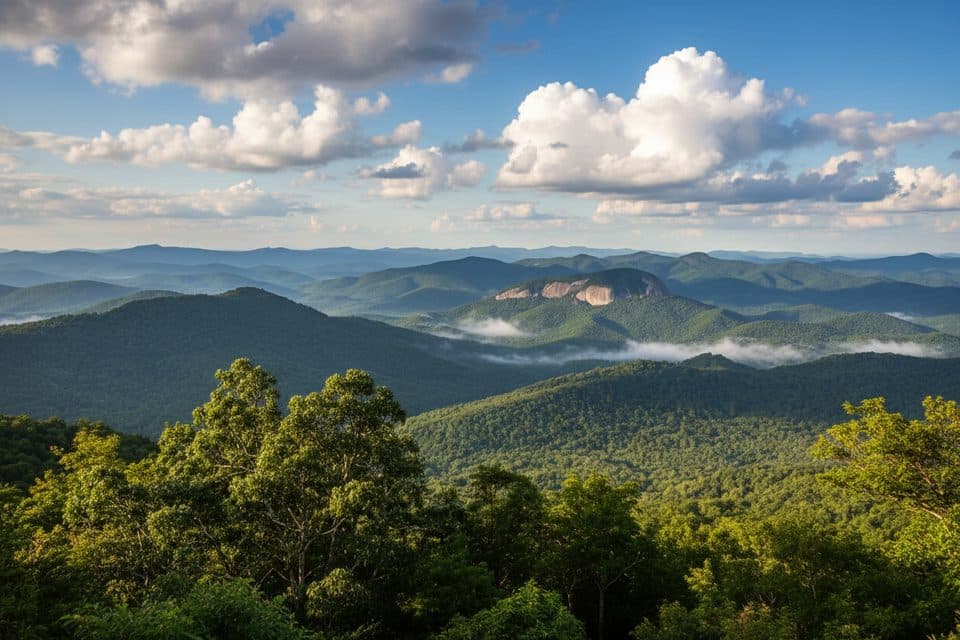 24Looking Glass Rock TrailSteady switchbacks to a broad granite perch with big Blue Ridge views
 25Profile Trail (Grandfather Mountain)Steep, rewarding climb from NC 105 to Grandfather’s ridgeline.
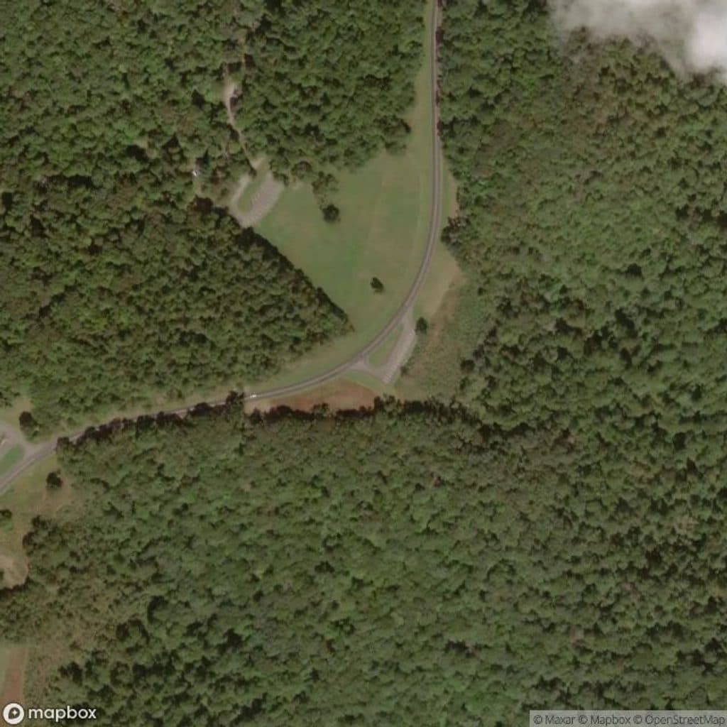 26Rock Castle Gorge Loop TrailA strenuous 10.8-mile loop through Rock Castle Gorge with ridge-top views
 27Rock Castle Gorge TrailStrenuous 10.8-mile loop through Rock Castle Gorge, forest, meadows, and mountain views.
 28Plunge Basin TrailRugged out-and-back to the Plunge Basin overlook and waterfall viewpoint
 29Apple Orchard Falls TrailBlue-blazed descent to a 200-foot waterfall, with a hard climb back
 30Flat Laurel Creek TrailA creekside route from NC 215 to Black Balsam’s high country
 31Old Mitchell TrailA rocky climb to Mount Mitchell’s high-elevation summit
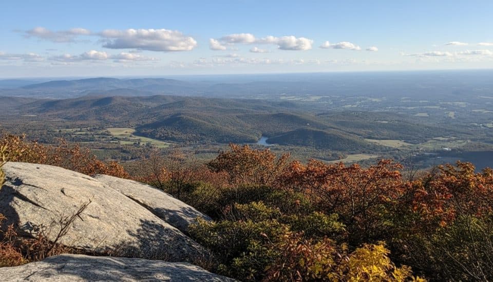 32Flat Top TrailStrenuous point-to-point traverse over Virginia’s highest Peak of Otter
 33Mountains-to-Sea TrailRugged Blue Ridge Parkway MST segment from US 74A to French Broad River
 34Flat Rock TrailShort loop to a broad rock summit with big Grandfather views
 35Second Falls TrailShort, stair-stepped walk to a photogenic waterfall and pool
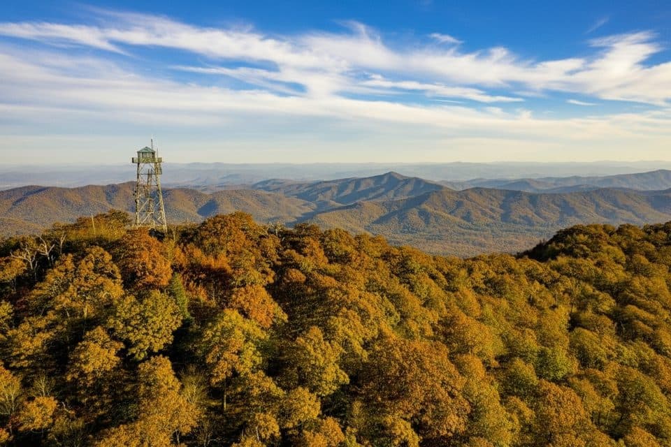 36Fryingpan Mountain Tower TrailShort gravel climb to WNC’s tallest fire tower and sweeping views
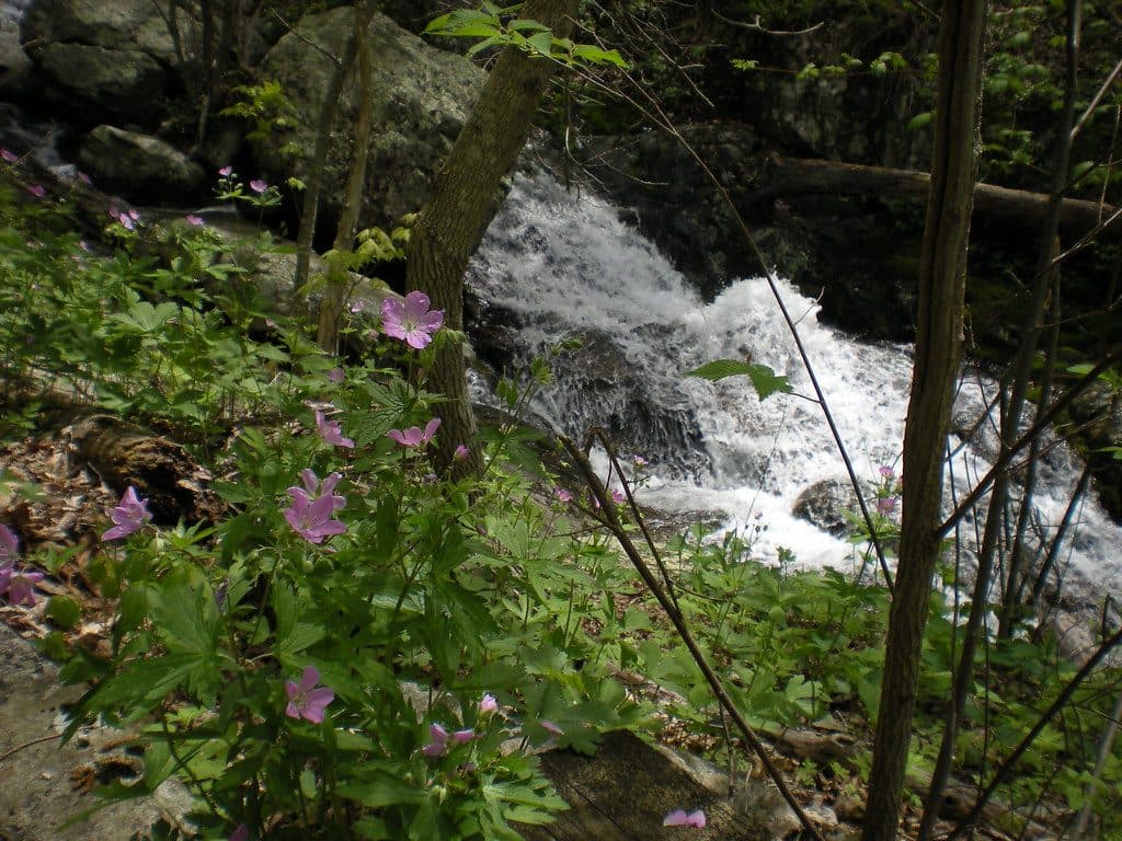 37Fallingwater Cascades LoopModerate 1.6-mile waterfall loop with cascades, rhododendron, and a real climb out.
 38Mount Pisgah TrailClassic Parkway summit with short, steady climb and big views
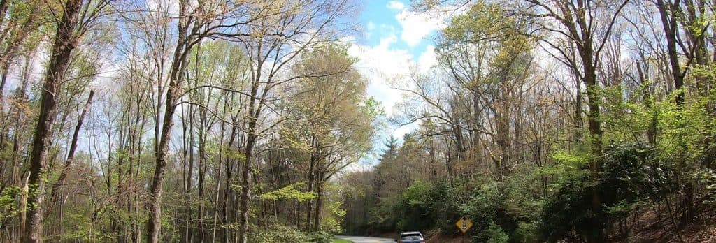 39Gully Creek TrailStrenuous 2.5-mile loop of cascades, creek crossings, and deep shade
 40Upper Falls TrailShort, berry-lined stroll to a photogenic two-tiered waterfall.
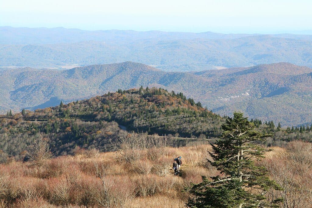 41Appalachian Trail (Parkway corridor)Moderate Appalachian Trail out-and-back from Thunder Ridge to Apple Orchard Mountain
 42Flat Top Carriage TrailHistoric gravel carriage road from Flat Top Manor to a panoramic tower
 43Bass Lake LoopEasy lakeside loop with gravel footing, bridges, and Cone Manor views
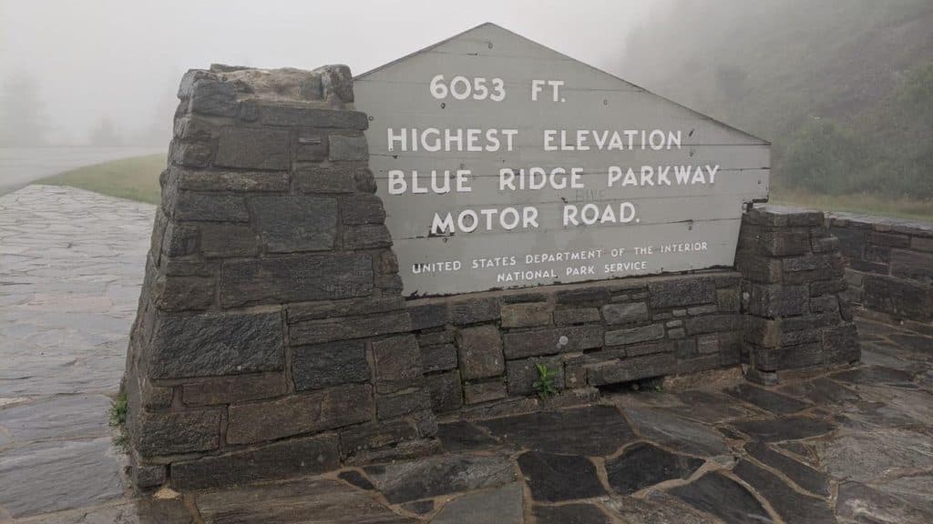 44Richland Balsam Nature TrailShort spruce-fir lollipop loop to the Parkway’s highest summit
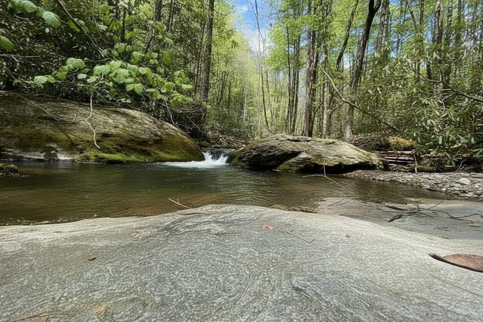 45Basin Creek TrailA remote creek walk to a historic cabin, with crossings to remember
 46Cascades TrailModerate interpretive loop to two overlooks above Cascade Falls
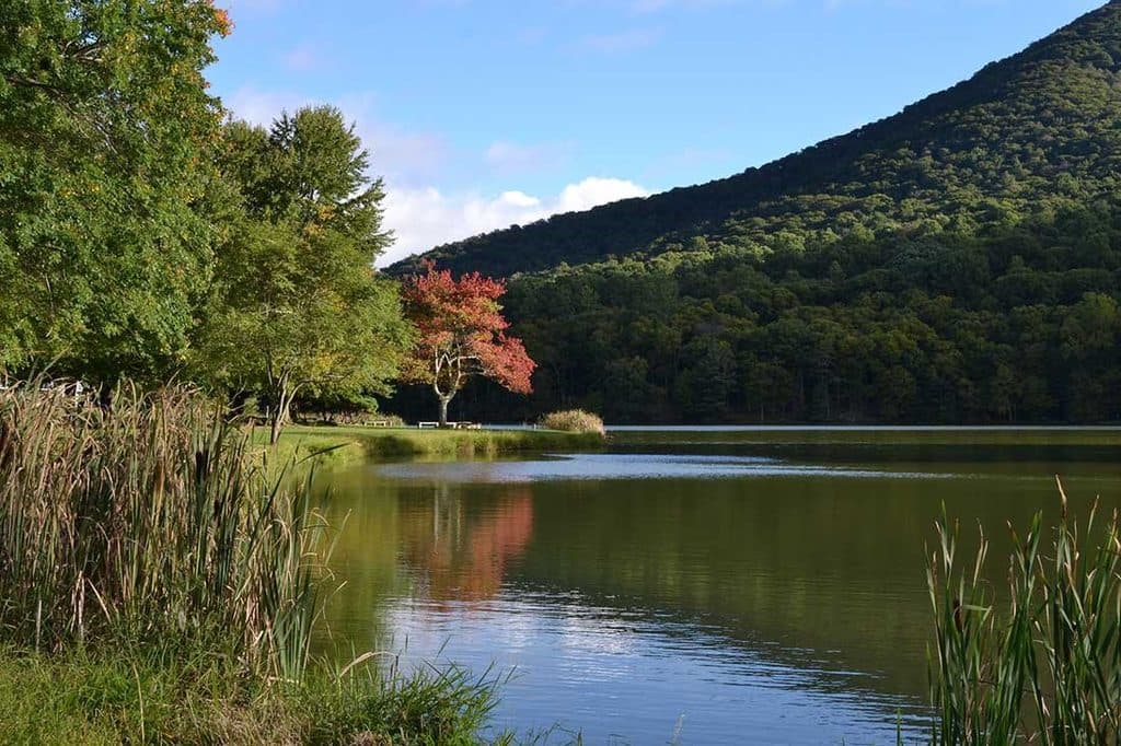 47Abbott Lake Loop TrailPaved one mile lakeside loop with postcard Peaks of Otter views
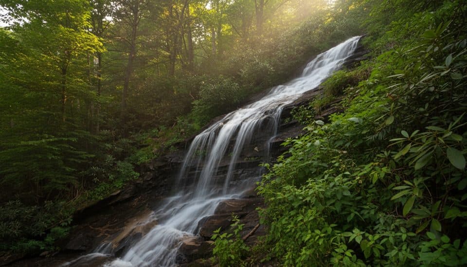 48Cascades Trail (E.B. Jeffress)One-mile waterfall loop with two Cascade Falls overlooks and interpretive plaques
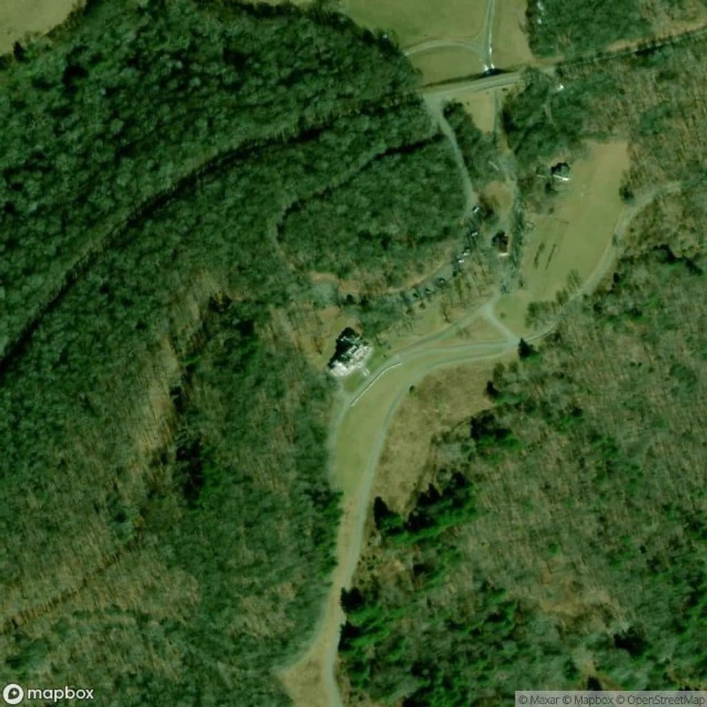 49The MazeWinding gravel carriage-road segment through the historic Maze near Bass Lake
 50Green Knob TrailLush loop of creek, meadows, and rhododendron with playful rock hops
 51Price Lake Loop TrailEasy 2.7-mile lakeside loop with mountain views, wildlife, and family-friendly stops
 52Snowball Mountain TrailA short ridge hike to Hawkbill Rock, with a steep climb
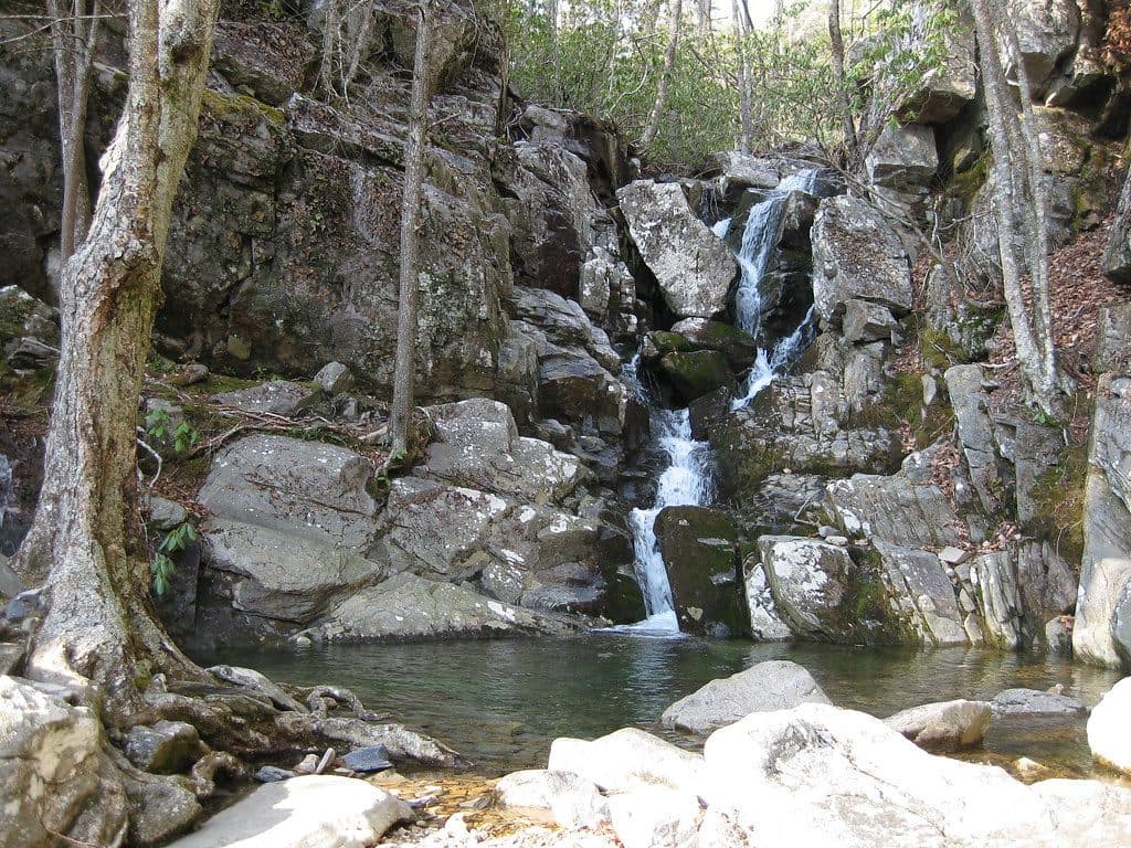 53White Rock Falls TrailModerate waterfall loop with gorge scenery and mountain views off the Blue Ridge Parkway
 54Little Butt TrailHigh-elevation ridge hike to a rocky overlook with big views
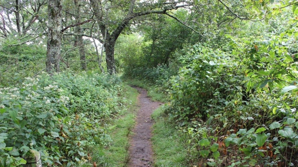 55Buck Springs TrailShaded Pisgah forest shuttle with wildflowers and stream crossings
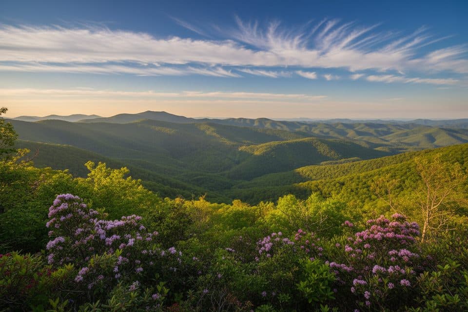 56Bluff Mountain TrailA long ridge traverse with meadows, views, and shuttle logistics
 57Shut-In TrailHistoric, strenuous 16.3-mile ridge walk paralleling the Parkway with solitude
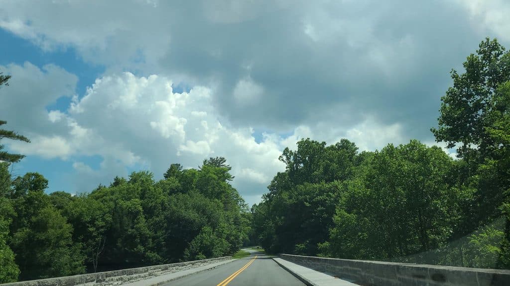 58Linville Gorge TrailA strenuous point-to-point wilderness traverse from Pine Gap through Linville Gorge to Wolf Pit.
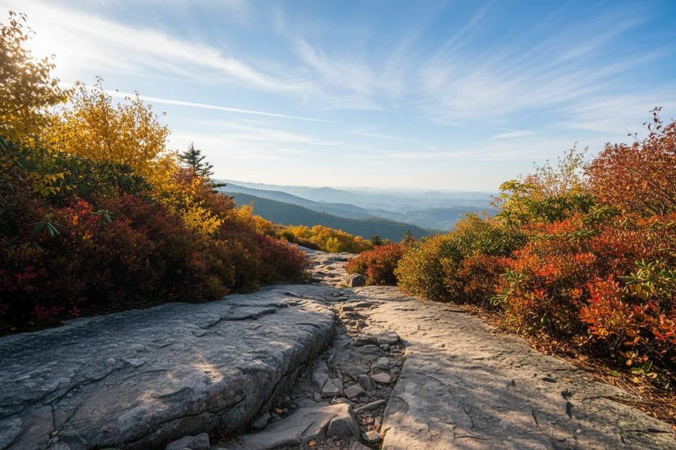 59Linn Cove Viaduct Access TrailEasy paved walk to the viaduct's best up-close viewpoint.
 60Price Lake TrailEasy 2.7-mile lakeside loop around Price Lake
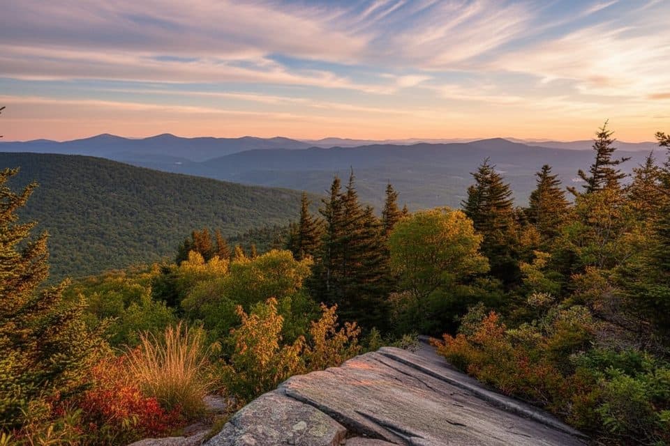 61Nuwati TrailRocky, gentle-grade stroll to Storyteller’s Rock and Boone Bowl views
 62Rich Mountain Carriage TrailLong, gentle carriage-road climb from Trout Lake to Rich Mountain views
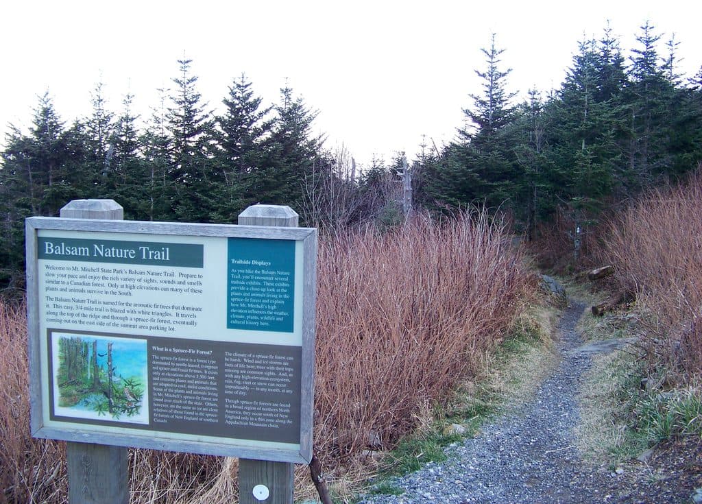 63Balsam Nature Trail (Mount Mitchell)Short, moderate summit loop through rare Fraser fir and red spruce forest
 64Cumberland Knob Gully Creek TrailStrenuous creek loop with cascades, narrow trail, and many water crossings
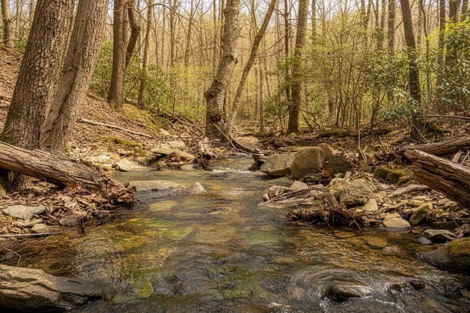 65White Rock Gap TrailWhite Rock Gap out-and-back to a series of cascades through a shady ravine.
 66Albright Loop TrailQuieter Humpback Rocks alternative with a forest loop, Appalachian Trail section, and optional overlook spur
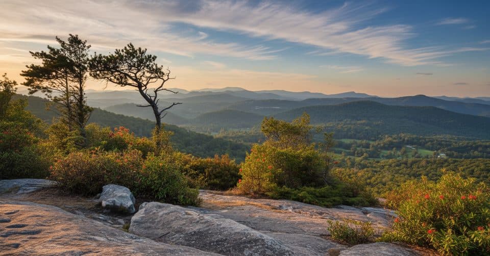 67Flat Rock Ridge TrailA five-mile ridge descent from Basin Cove to the creek
 68Heintooga Flat Creek TrailA quiet creek walk through high-elevation Smokies forest
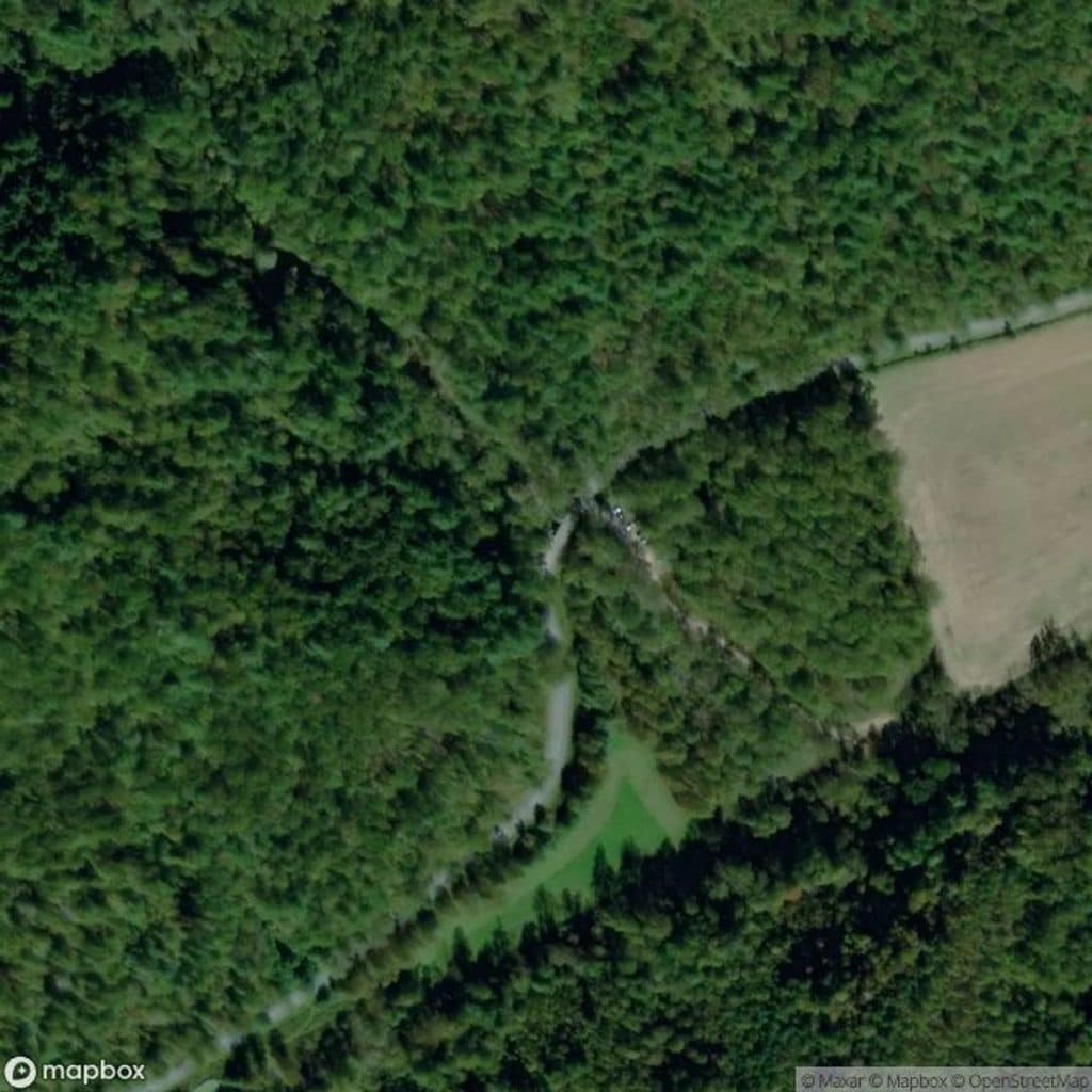 69Bluff Ridge Primitive TrailA punishing primitive ridge descent from Bluff Mountain Shelter into Basin Cove.
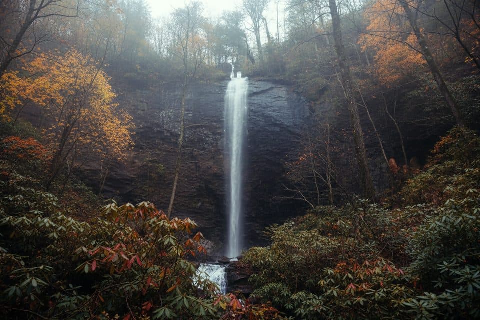 70Douglas Falls TrailRugged trek to a 70-foot waterfall through wild, hemlock forest
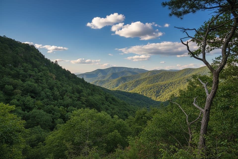 71Torry Ridge TrailA rugged, shuttle-friendly Blue Ridge descent from Bald Mountain to Torry Furnace
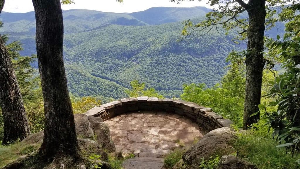 72Chestoa View TrailEasy lollipop walk to Chestoa View’s stone balcony and Blue Ridge vistas
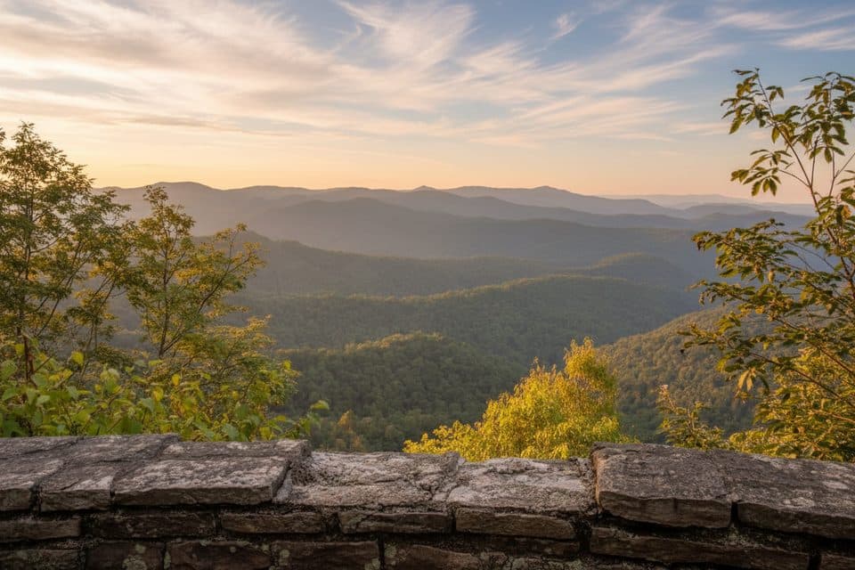 73Jumpinoff Rock TrailShort, easy woods walk to a quiet, panoramic Blue Ridge overlook.
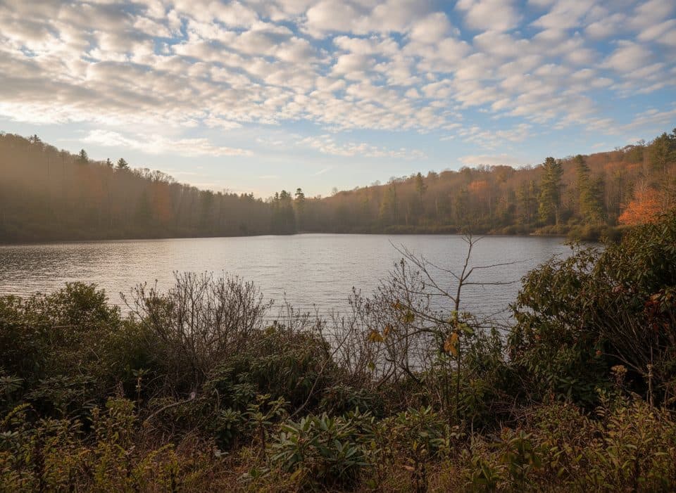 74Trout Lake Loop TrailEasy lakeside loop through hemlocks with frequent wildlife sightings
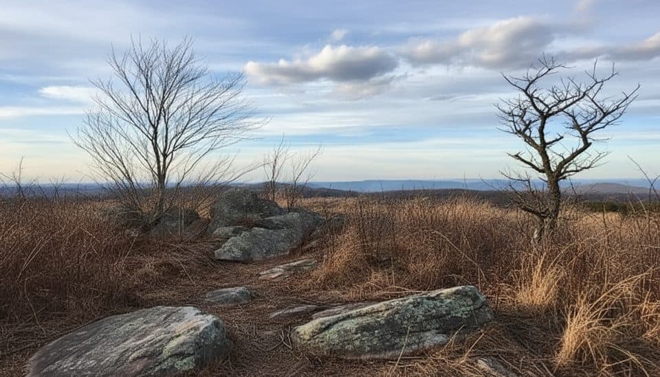 75Black Ridge TrailBlue-blazed Black Ridge loop from Rocky Knob Visitor Center
 76Grassy Gap Fire RoadWide, quiet descent with access to waterfalls and a rustic camp
 77Rattlesnake Lodge TrailShaded Blue Ridge Parkway loop to historic Rattlesnake Lodge ruins78Harkening Hill Loop TrailQuiet Peaks of Otter loop to Harkening Hill, Balance Rock, and ridge views
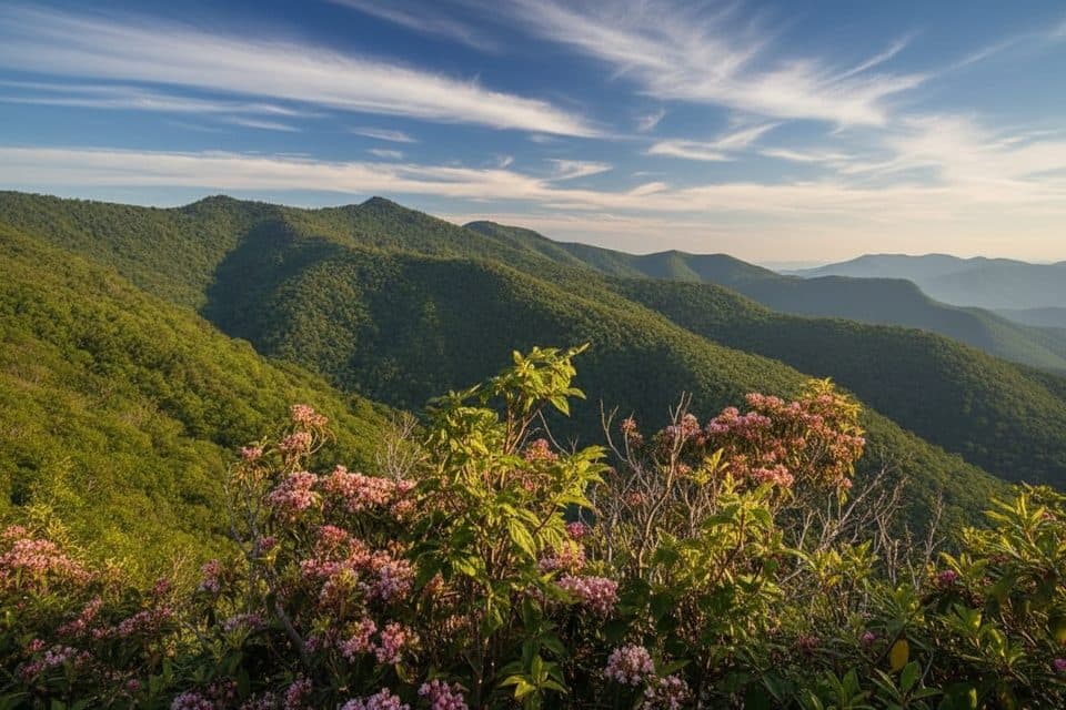 79Yellow Face TrailA rough, unofficial summit spur with a view before the top.
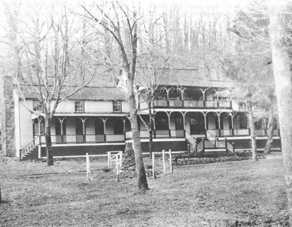 80Johnson Farm Loop TrailEasy loop to the restored 1850s Johnson Farm at Peaks of Otter.
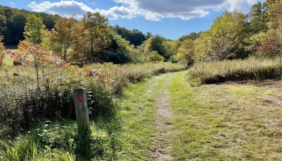 81Fisher Peak Loop TrailModerate loop through High Meadow and Fisher Peak forest
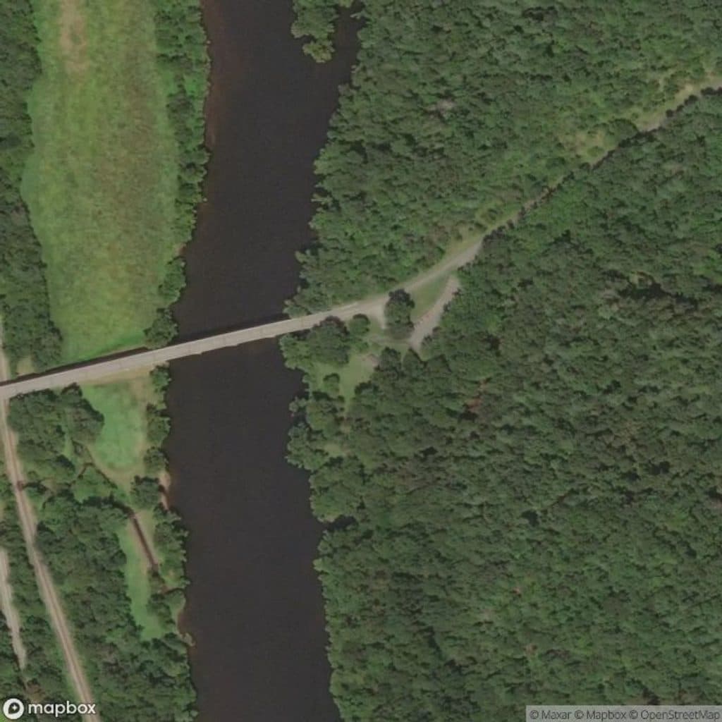 82Otter Creek TrailGentle 3.5-mile point-to-point creekside trail from Otter Creek Campground to James River Visitor Center
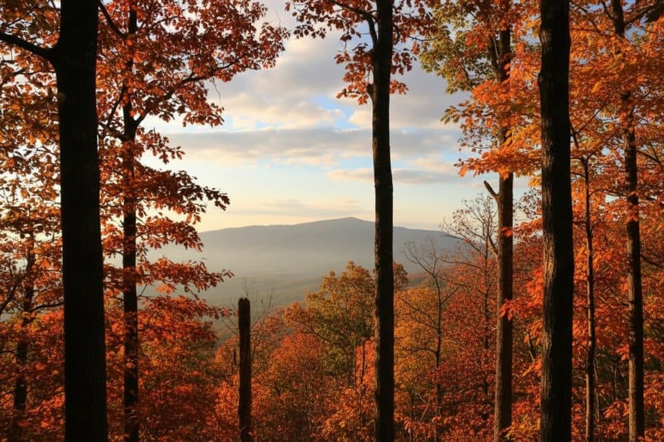 83Deer Park Trail (Cone)A mellow estate loop linking Deer Park and Duncan carriage roads
 84Chestnut Ridge Loop TrailShady hardwood loop with easy grades and great birding near Roanoke
 85James River Canal Lock TrailShort out-and-back to Battery Creek Lock with a James River footbridge crossing
 86Roanoke Mountain Woodland TrailA tiny summit loop with rocky footing and broad Roanoke views.
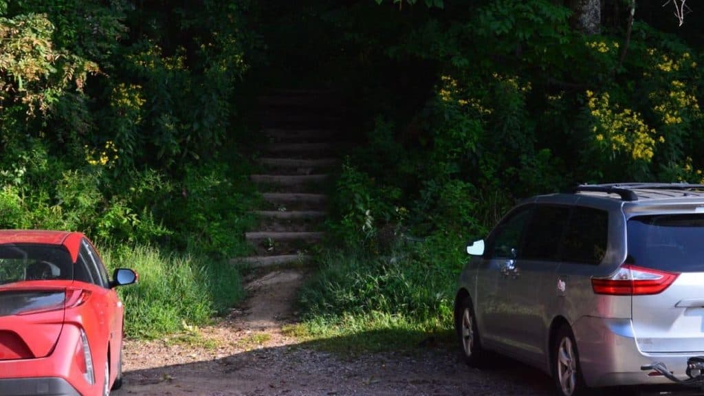 87Craven Gap TrailModerate, shaded Mountains-to-Sea Trail out-and-back from Craven Gap to Ox Creek Road.
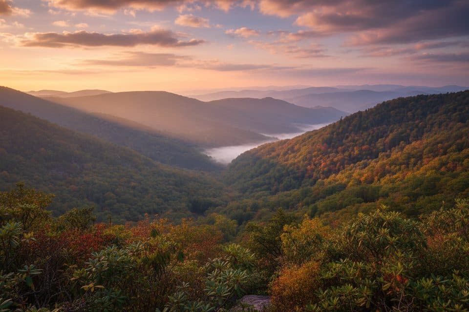 88Wildcat Rocks TrailA short walk to sweeping views from Wildcat Rocks
 89Thunder Ridge Nature TrailShort, easy loop to a stone-walled overlook with Arnold Valley views and a brief Appalachian Trail section.
 90Mabry Mill TrailShort, easy loop through Mabry Mill’s historic mountain-industry exhibits
 91Canal Lock TrailShort, easy out-and-back to a restored James River canal lock with views
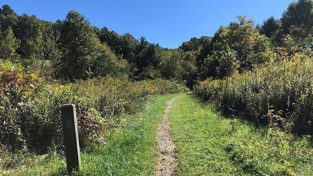 92High Meadow TrailMeadow and woodland stroll with music drifting from the stage
 93Smart View Loop TrailA three-mile loop through meadows and woods to a historic cabin and a quiet Parkway overlook.
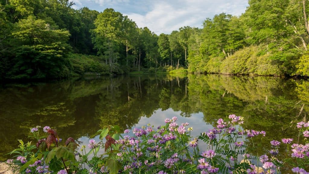 94Sims Pond Loop TrailModerately strenuous loop from Sims Pond over Green Knob with creeks, pasture, and Parkway views
 95Wigwam Falls TrailBlink-and-you’re-there walk to a photogenic falls and logging rails
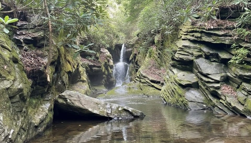 96Duggers Creek Falls TrailTiny slot-canyon falls on a 0.3-mile loop by the visitor center
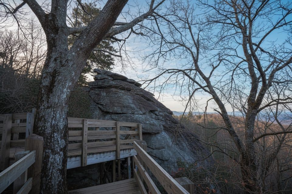 97Stack Rock TrailTiny detour to a quirky rock tower in a rhodo-laced forest
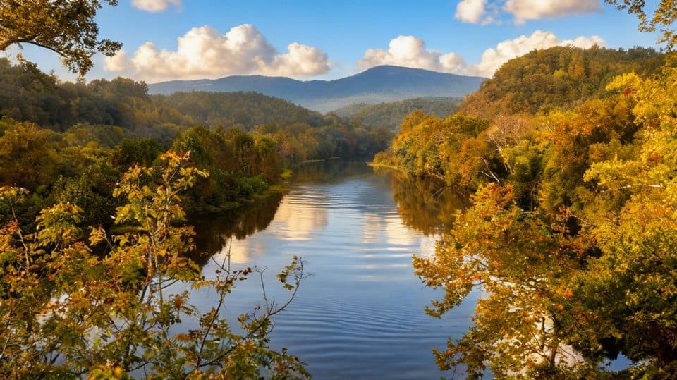 98Trail of TreesShaded riverside loop with tree ID signs and James River overlooks
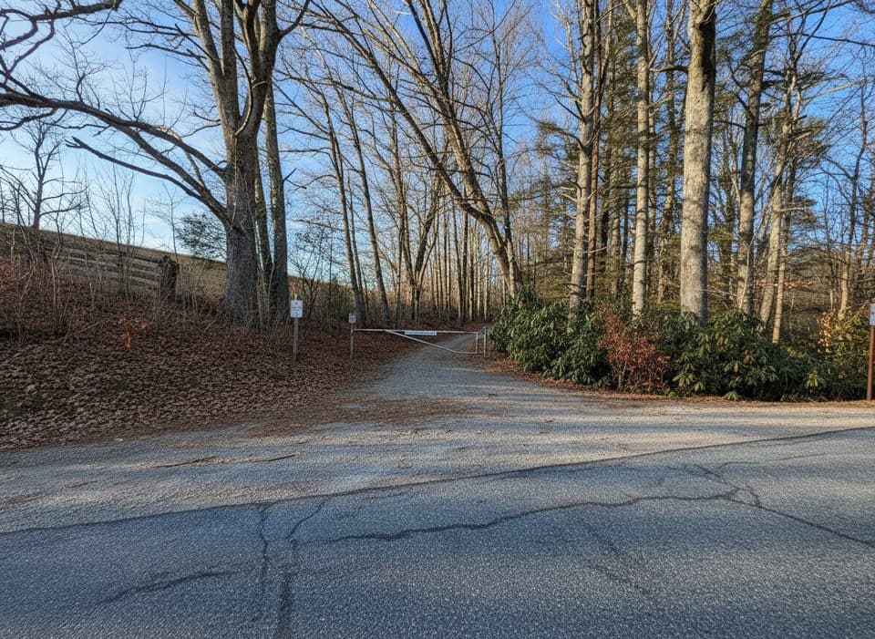 99Old Johns River RoadA quiet 3.2-mile out-and-back on a gated road through Julian Price Memorial Park.
 100Mountain Farm TrailEasy out-and-back through an 1890s Appalachian farmstead
 101Roanoke River TrailA short, hilly river-and-dam walk with a wooded loop beneath the Parkway bridge.
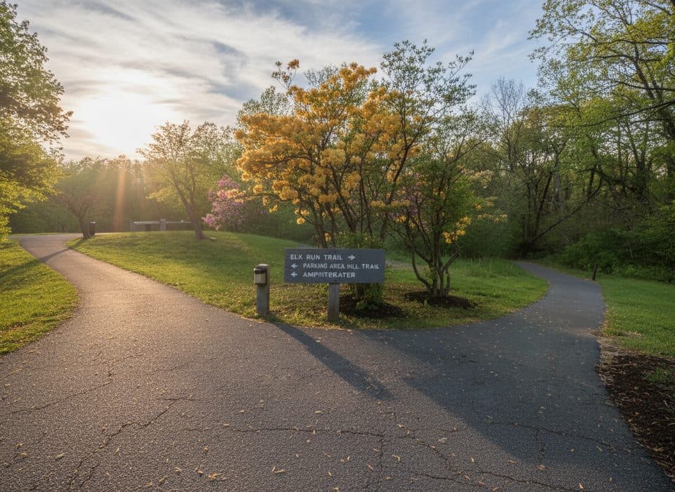 102Elk Run TrailShort, self-guided forest loop behind the Peaks of Otter Visitor Center
 103Fodder Stack TrailA rocky forest lollipop with a steep opening, terminal loop, and spring wildflowers.
 104Blue Ridge Parkway Visitor Center TRACK TrailEasy, family-friendly 1.3-mile forest loop with TRACK Trail activities
 105Rocky Knob Picnic Loop TrailEasy yellow-blazed loop through the Rocky Knob picnic-area woods
 106Otter Lake Loop TrailShort lakeside loop with a steep start and quiet, forested feel
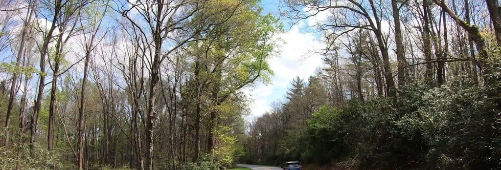 107Cumberland Knob Loop TrailEasy paved loop to Cumberland Knob with CCC history and a picnic-area start
 108Tompkins Knob TrailAn easy cabin walk from a Blue Ridge Parkway overlook
 109Puckett Cabin TrailVery short, flat walk from a Parkway pull-off to the historic cabin of midwife Orlean Puckett
 110Stewart Knob TrailShort moderate out-and-back from Stewart Knob Overlook with wooded miles and a Blue Ridge view111Cold Prong Pond LoopShort, easy loop from Cold Prong Pond Overlook through rhododendron, forest, and a former pond meadow.
 112Little Glade Mill Pond TrailA quiet, quarter-mile loop around a historic mill pond.

The highest, rockiest slopes around here are a summer buffet for grizzly bears.
Blue Ridge Parkway Tour Guide
Blue Ridge Parkway, narrated.
Parkwolf is a GPS audio tour guide for Blue Ridge Parkway. As you drive, it chimes in with what’s ahead: hidden gems, upcoming stops, history, geology, and wildlife, right through your car’s speakers.
See the Blue Ridge Parkway audio tourRecorded for this place
The Linn Cove Viaduct and Its Famous ViewpointsListen
“You're coming up on the Linn Cove Viaduct, the famous S-shaped bridge that hugs Grandfather Mountain.”
Plays as you drive up to Linn Cove Viaduct in the Parkwolf Blue Ridge Parkway Tour Guide.
More stories near here in the app
- Linn Cove Viaduct: The View From Below
- Wilson Creek Overlook and a Trail Shortcut
- Stack Rock: A Quick Walk to a Forest Pillar
- Rough Ridge: A Famous Short Hike with Big Views
- 277 audio storiesacross Blue Ridge Parkway’s roads, triggered by GPS as you drive
- Wildlife heatmapsfor Black Bear, Elk, White-tailed Deer, and 13 more
- Works offlinemaps, 112 trails, 232 places, and audio download before you lose signal
- CarPlay readysimple controls built for the drive
“…We knew we wanted to drive the Blue Ridge Parkway. The narration was impeccably timed. The facts and info provided were meaningful. Without it, the trip would not have been near as awesome.”

