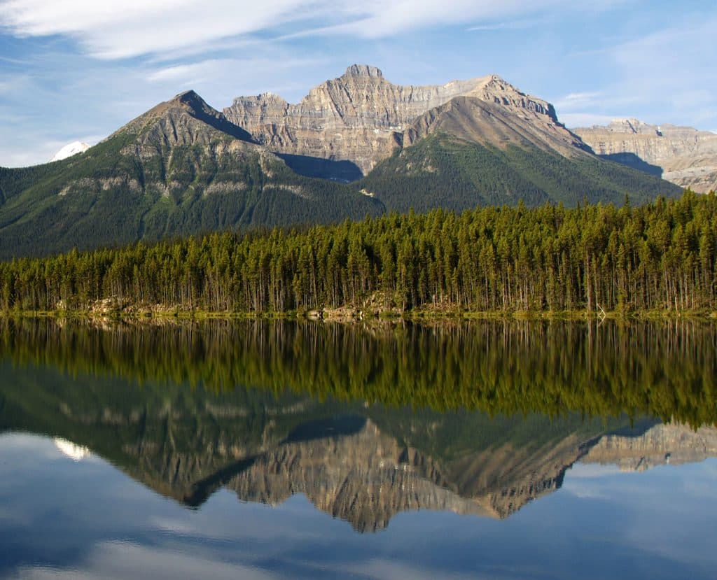
Mount Niblock in Banff National Park

Banff National Park, AB

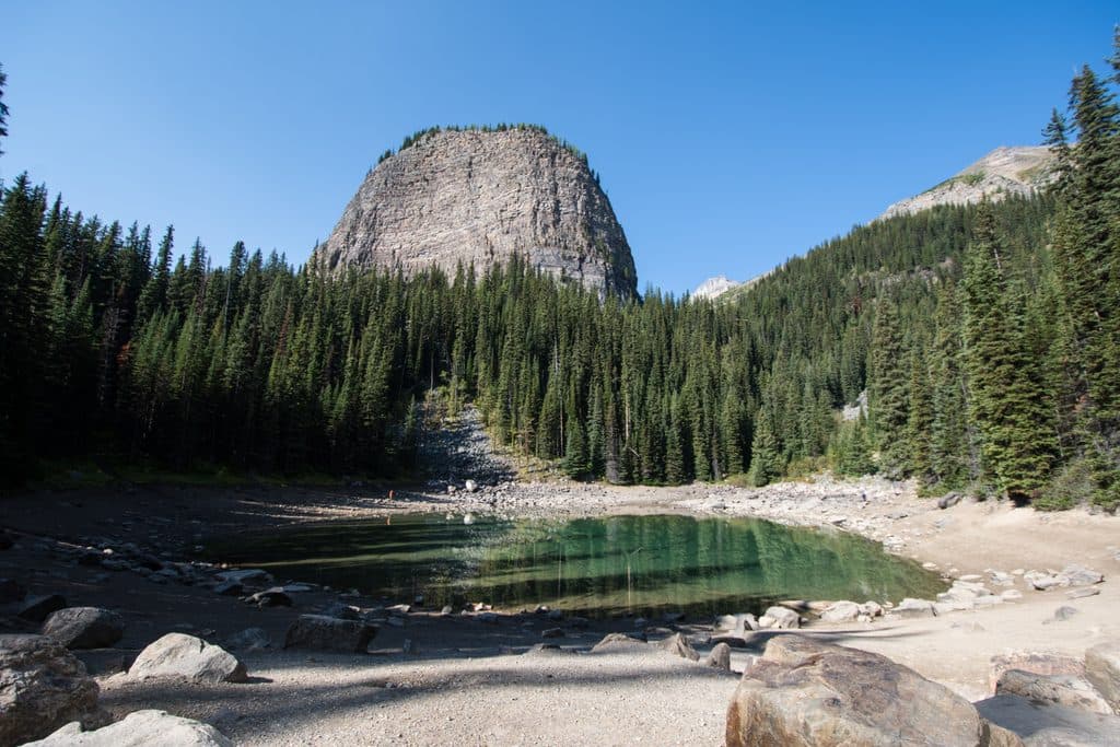
Mount Niblock

Demanding Mount Niblock scramble from Lake Louise via Lake Agnes

Photo: Wikimedia Commons
Length
14.8km
Time
7hr
Elev. change
1,107m
Difficulty
Challenging
  • Dogs allowed
  • High point 2,844 m
  • #59 of 177 in Banff

Hear the audio tour

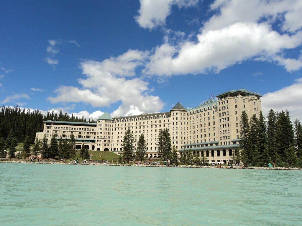
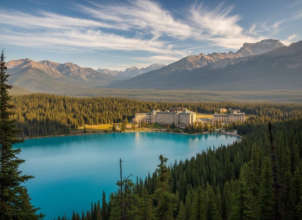
The Fairmont Chateau and Lake Louise Shoreline

Overview

About Mount Niblock

Why go

  • Classic Lake Louise and Lake Agnes approach with a rewarding alpine summit
  • Big-mountain views and a challenging scramble for experienced parties

Heads up

  • Unmarked upper route with loose scree, steep cliff bands, and exposure
  • Route-finding, rockfall, and changing alpine weather require strong judgment
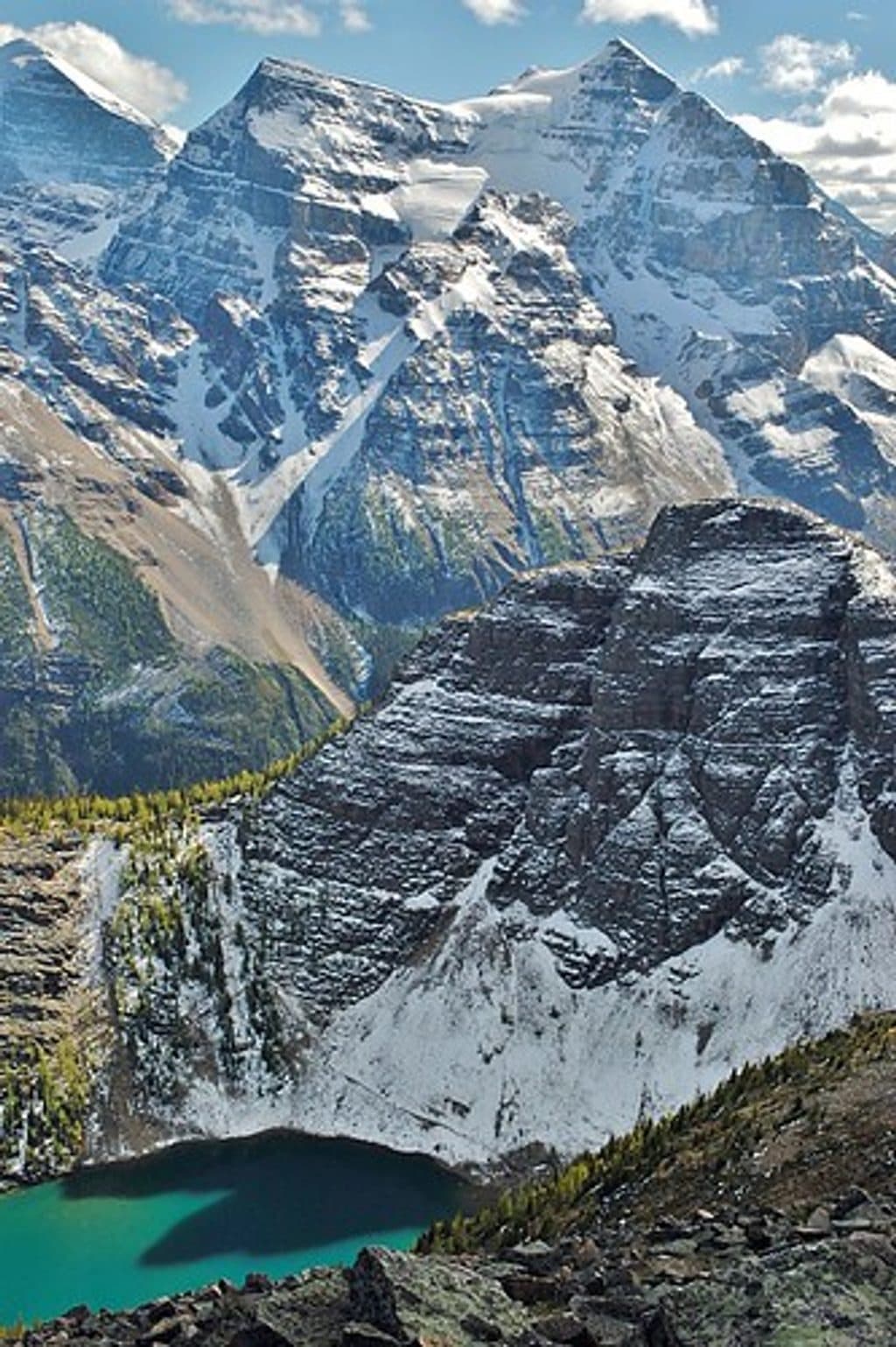
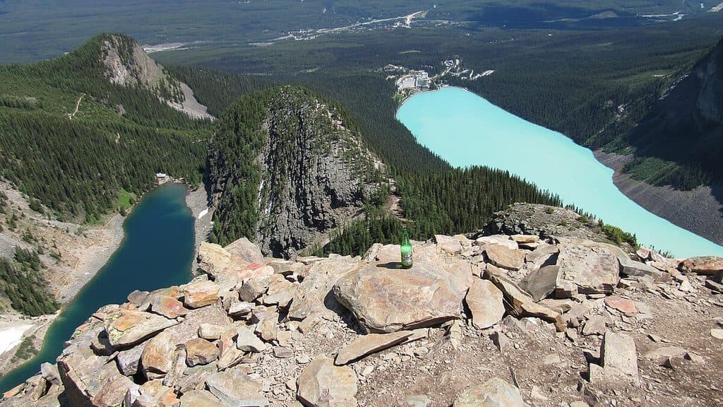
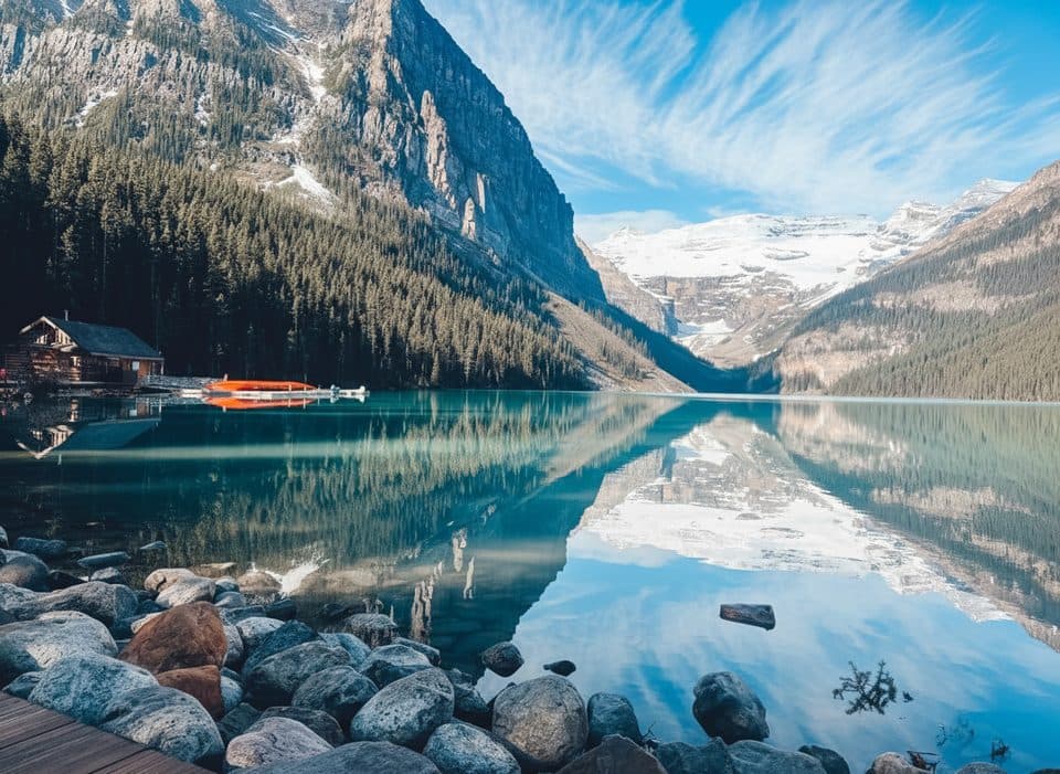
Mount Niblock is a demanding Lake Louise scramble with a big alpine payoff: Lake Louise, Lake Agnes, the surrounding peaks, and the Victoria Glacier country all open up from the summit ridge. The route combines a maintained approach with a serious off-trail finish, so it is for experienced scramblers rather than a casual extension of the Lake Agnes hike.
Parkwolf’s verdictWhy go

Map & elevation

The route

Loading the Banff map
Full map
Elevation1,737–2,844 m
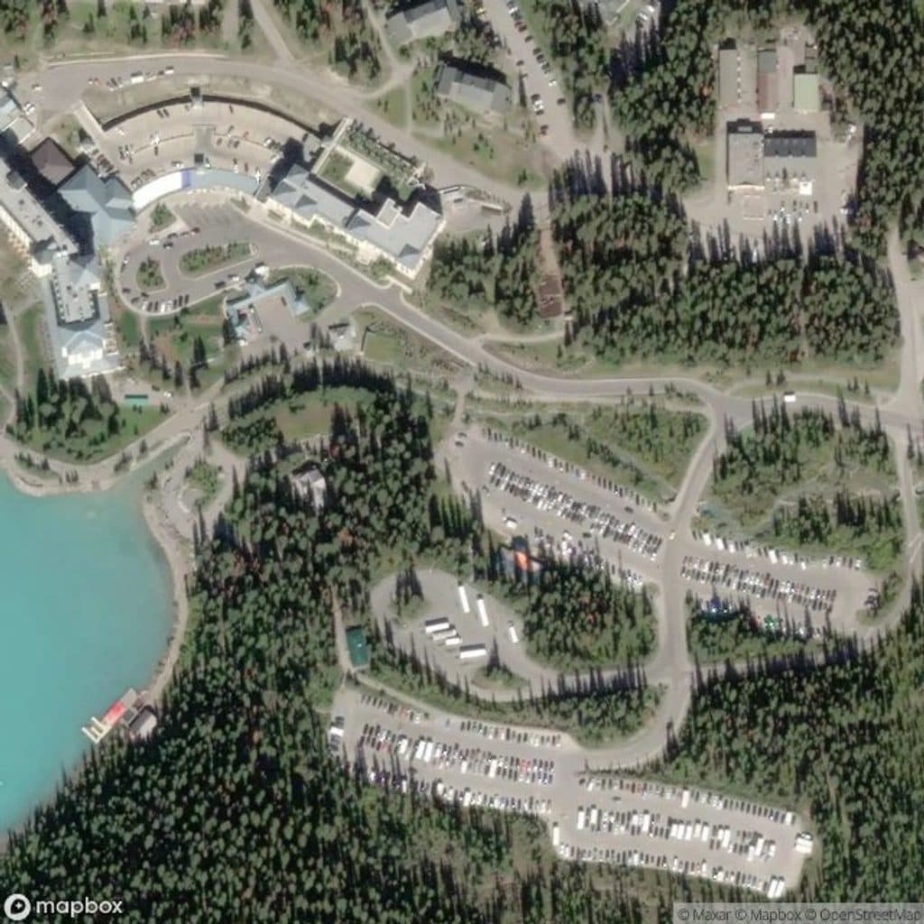
TrailheadLake Louise Lakeshore parking lot51.41652, -116.21359
Keep this map with you offline in the Parkwolf app

Plan your hike

Before you go

Parking

Use the Lake Louise Lakeshore parking lot at the primary trailhead. Parks Canada lists paid parking and access by transit or shuttle; arrive prepared for a long, strenuous day because parking and the seasonal tea house are not guaranteed conveniences.

Best time to go

Begin from the Lake Louise Lakeshore parking lot. Parks Canada lists paid parking there and access by transit or shuttle. July through early September is the usual window for a lower-snow scramble, but alpine snow, weather, and avalanche conditions can persist or return outside the main summer season. Carry all food and water you need; the seasonal tea house is an attraction, not a dependable supply point.

Safety

This is a difficult, unmarked alpine scramble beyond Lake Agnes. Expect loose scree, steep cliff bands, exposure, rockfall, and route-finding; a helmet and GPS or detailed map are strongly recommended. Turn around if the terrain or weather becomes unsafe, and do not confuse this route with a Mount St. Piran or Mount Whyte traverse.

8 active Banff alerts

  • ClosureLake Louise area trails and access areas closed for wildlifeMentions Lake Louise, referenced in this guideThe Bow River Trail, Louise Creek Trail, lower Tramline Trail, and Great Divide Trail parking area are closed because the closure prevents wildlife from being displaced from an essential travel…Official details
  • ClosureRed Deer River valley bottom closed for ceremonial bison harvestThe Red Deer River valley bottom is closed to the public during an Indigenous ceremonial bison harvest taking place through November.Official details
See all 8 alerts
A park ranger sits on a dash-mounted phone, talking, as Parkwolf’s Tour Guide plays “Army Cutworm Moths: A Grizzly Bear Buffet” on Grand Loop Road below Dunraven Pass in Yellowstone
Parkwolf Tour GuideThe highest, rockiest slopes around here are a summer buffet for grizzly bears.

Banff Tour Guide

Your drive to Mount Niblock, narrated.

Parkwolf is a GPS audio tour guide for Banff National Park. As you drive, it chimes in with what’s ahead: hidden gems, upcoming stops, history, geology, and wildlife, right through your car’s speakers.

Recorded for this area

The Fairmont Chateau and Lake Louise Shoreline
Listen
“You're now arriving at the main shoreline area of Lake Louise, centered around the historic Fairmont Chateau hotel. This is where you'll find that famous postcard view of the lake and Victoria Glacier.”

Plays on the road 0.2 km from the trailhead in the Parkwolf Banff Tour Guide.

More stories near here in the app

  • Teahouses in the Sky: Lake Agnes and Plain of Six Glaciers
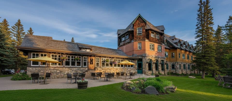
  • Deer Lodge: A Historic Lodge Near the Lake
  • Great Divide Trail: An Easy Walk on an Old Highway
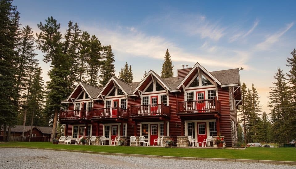
  • Paradise Lodge: Walk-In Access to Lake Louise
  • 178 audio storiesacross Banff’s roads, triggered by GPS as you drive
  • Wildlife heatmapsfor Grizzly Bear, Brown Bear, Gray Wolf, and 13 more
  • Works offlinemaps, 177 trails, 236 places, and audio download before you lose signal
  • CarPlay readysimple controls built for the drive
★★★★★
“…Loved the commentary as you drove thru. I’m sure the app can do more than I know but the tips were very helpful. I’m gonna use it when we go to Banff next month.”
tesja22App Store review
Download Parkwolf on the App StoreGet Parkwolf on Google Play

4.7 from 8,600+ ratings

Trail guide

Hiking Mount Niblock

Route overviewStart at the Lake Louise Lakeshore parking lot and follow the Lake Agnes Trail via Mirror Lake…

Start at the Lake Louise Lakeshore parking lot and follow the Lake Agnes Trail via Mirror Lake to the Lake Agnes Tea House. Continue around the lakeshore to the far end of Lake Agnes, then leave the maintained trail and follow the faint Mount Niblock route west across boulders and scree. Climb the steep cliff bands to the Whyte–Niblock col, turn right, and continue along the ridge to Mount Niblock’s summit. The stored line follows this physical corridor once from the primary trailhead to the summit; the visitor distance is the complete out-and-back.

Distance, time, and difficultyPlan on about 9.2 miles (14.

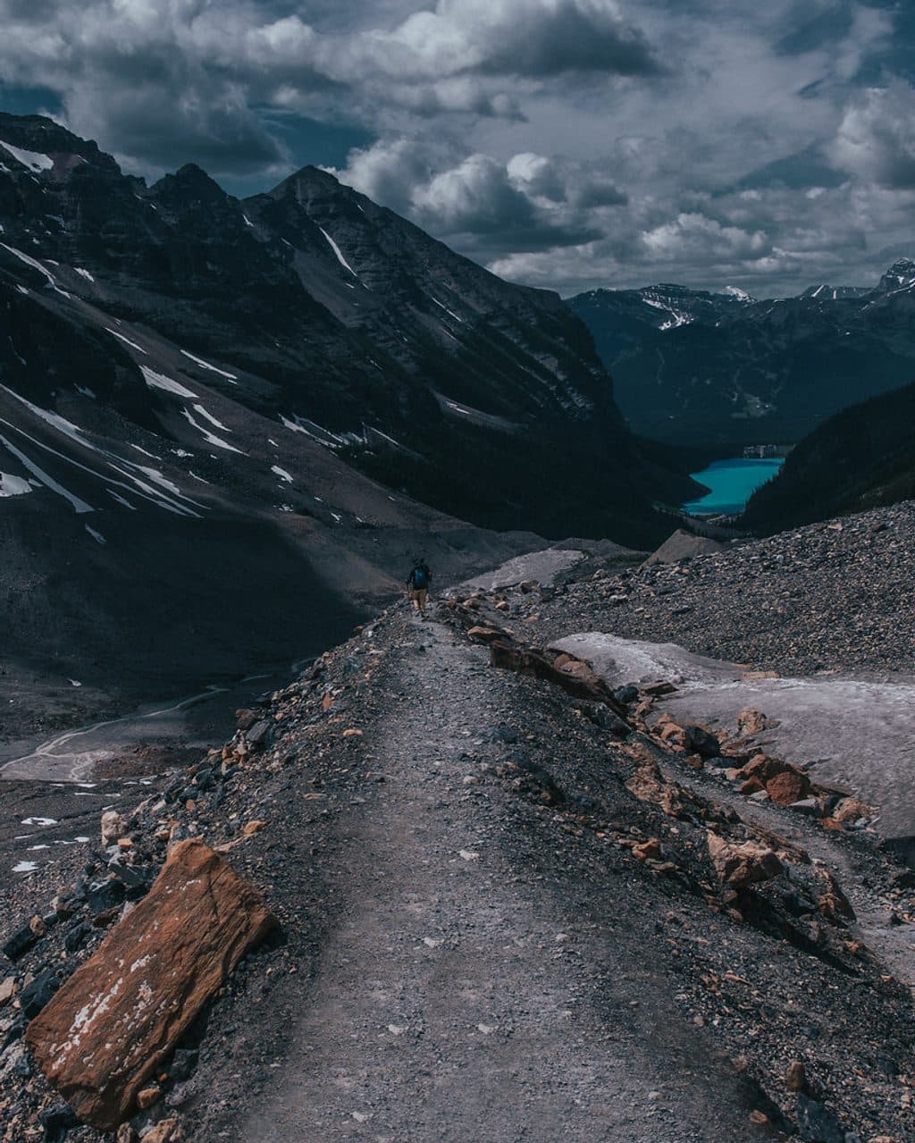
Plan on about 9.2 miles (14.8 km) round trip and roughly 7 hours, with approximately 1,340 m of cumulative elevation gain reported for the route. Most of the lower approach is a well-maintained hiking trail, but the upper section is a difficult, unmarked scramble with loose scree, steep rock, exposure, and route-finding. This is a very strenuous outing for experienced parties comfortable with hands-on scrambling.

Route-finding and terrainThe correct line beyond Lake Agnes is not always obvious.

The correct line beyond Lake Agnes is not always obvious. The climb involves a scree cone, loose rock, steep cliff bands, and the Whyte–Niblock col before the final ridge to the summit. A helmet, detailed map or GPS track, and conservative decisions around rockfall and exposure are essential. Do not follow a different descent toward Mount St. Piran or combine this line with the Mount Whyte traverse unless you have researched that separate route.

Wildlife

Wildlife in Banff

All Banff wildlife maps

Sighting maps show where each species has been reported across Banff. Wildlife moves, so no sighting is guaranteed.

Keep exploring

Near Mount Niblock

See it all on the map

Trails that start nearby

Places near the trailhead

Parkwolf’s Banff ranking

Top-rated trails in Banff

All 177 trails
  1. 1Moraine Lake RockpileEasy · 0.8 km
  2. 2Larch Valley and Sentinel PassChallenging · 11.1 km
  3. 3Sentinel PassChallenging · 11.3 km
  4. 4Parker Ridge TrailEasy · 5.5 km
  5. 5Big Beehive TrailModerate · 10.5 km
  6. 6Sunshine Meadows LoopModerate · 11.9 km

Take Parkwolf to Banff.

The audio tour guide for the drive, plus offline maps, trails, and wildlife heatmaps for when the signal drops.

4.7 from 8,600+ ratings

Download Parkwolf on the App StoreGet Parkwolf on Google Play