
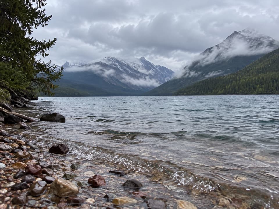
All Glacier trails
157 trails
 1Highline TrailA Garden Wall ledge walk with a long, steep finish.
 2Grinnell Glacier TrailA hard climb to an alpine lake beneath a shrinking glacier.
 3Iceberg Lake TrailA long valley walk ends at a turquoise lake beneath steep cliffs.
 4Hidden Lake Overlook TrailBoardwalk and switchbacks open onto a lake beneath Bearhat Mountain.
 5Avalanche Lake TrailA half-mile of cedars before the big lake payoff.
 6Trail of the CedarsA cedar boardwalk with an easy look into Avalanche Gorge.
 7Ptarmigan Tunnel TrailA hard climb to the tunnel and its north-side Elizabeth Lake view.
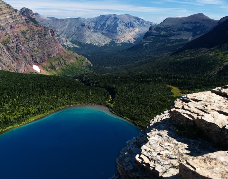 8Dawson–Pitamakan Pass LoopTwo alpine passes and a narrow ridge make this a full day.
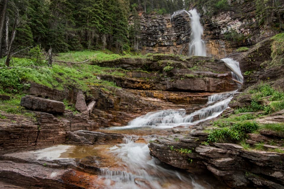 9Virginia Falls TrailTwo falls, views through the burn, and a harder climb back.
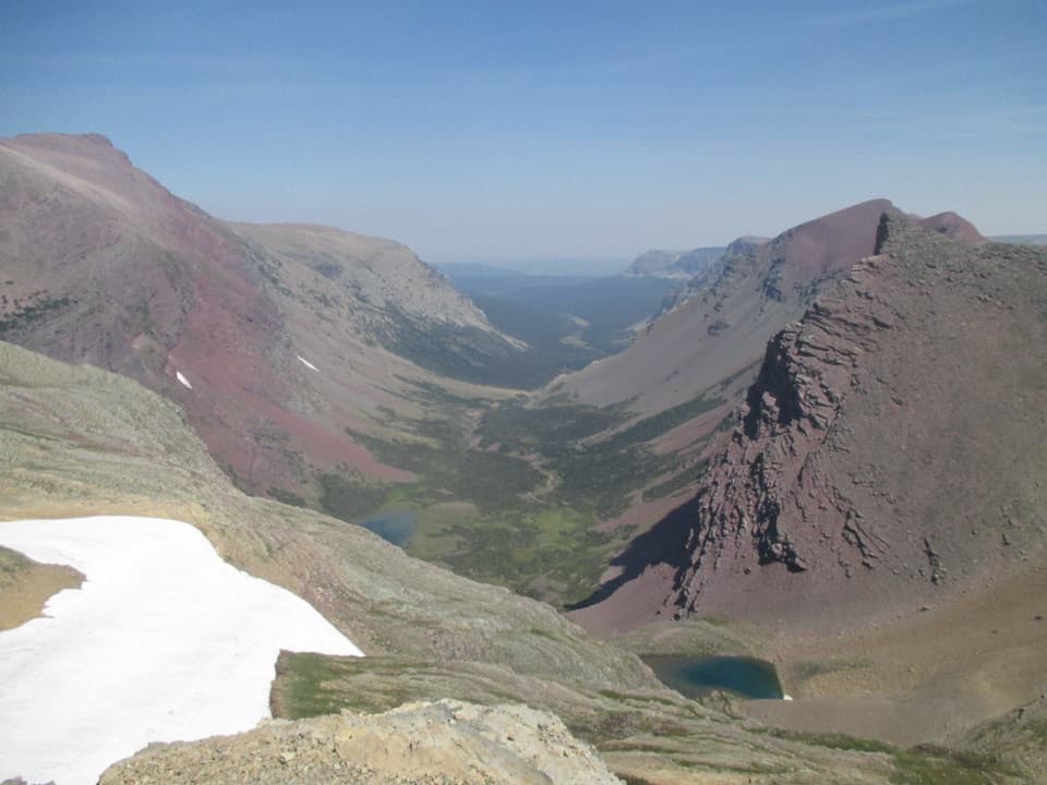 10Siyeh Pass TrailA steep pass crossing rewarded with Sexton Glacier and Baring Creek.
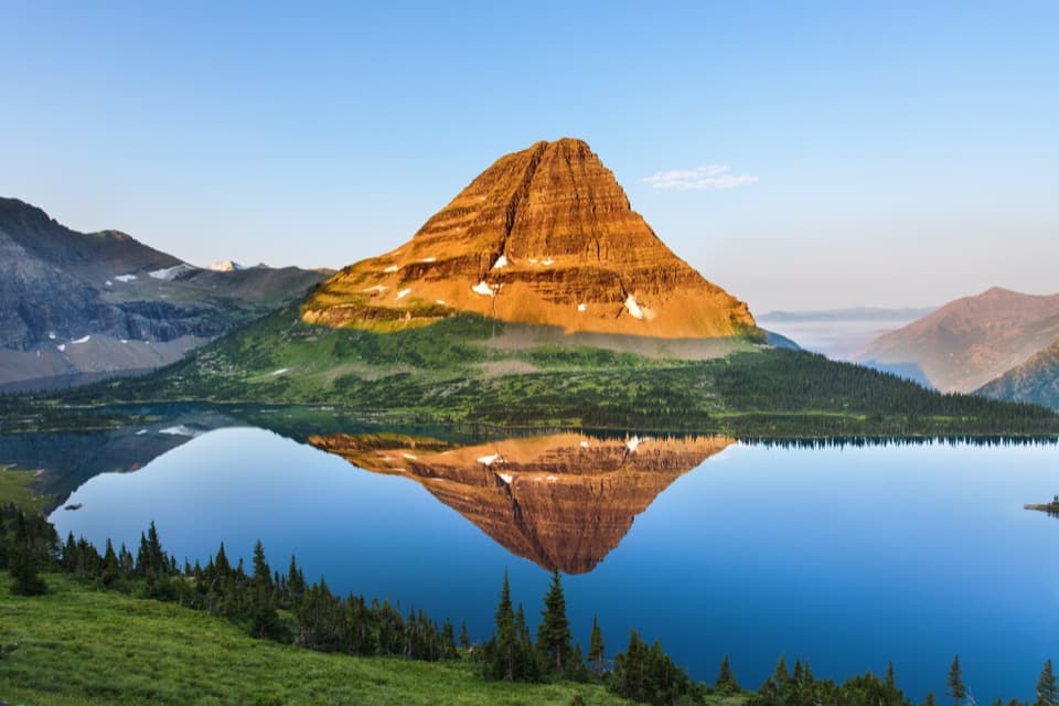 11Hidden Lake TrailGo past the overlook only if you’re ready for a steep return.
 12Grinnell Lake TrailTwo boat crossings lead to a short walk beneath Grinnell Falls.
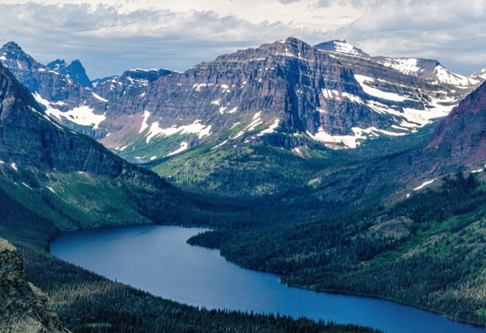 13Scenic Point TrailClimb through weathered pines to a ledge above lakes and plains.
 14St. Mary Falls TrailA short descent to a bridge beneath a three-tier waterfall
 15Swiftcurrent Pass TrailThree lakes first, then a rugged climb to the Continental Divide.
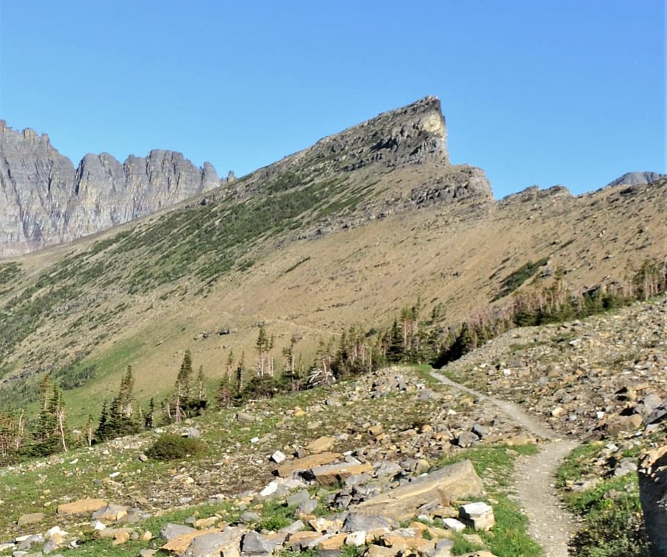 16Piegan Pass TrailA high saddle, glacier views, and a vanished railway bell.
 17Cracker Lake TrailA long Many Glacier climb to a turquoise lake beneath sheer walls.
 18Highline Trail to Grinnell Glacier OverlookA long, exposed traverse earns a knockout view over the glacier basin.
 19Gunsight Pass Trail to Lake McDonald LodgeA demanding east-to-west traverse over two high alpine passes.
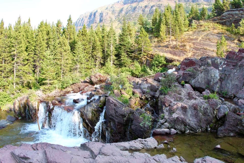 20Redrock Falls TrailA gentle lake walk ending at red-rock cascades.
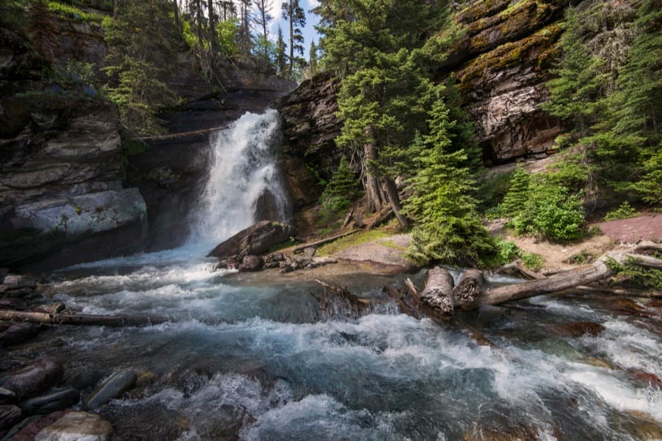 21Baring Falls TrailA short creekside walk to a 25-foot waterfall.
 22Dawson Pass TrailA steep climb above No Name Lake ends at the Divide.
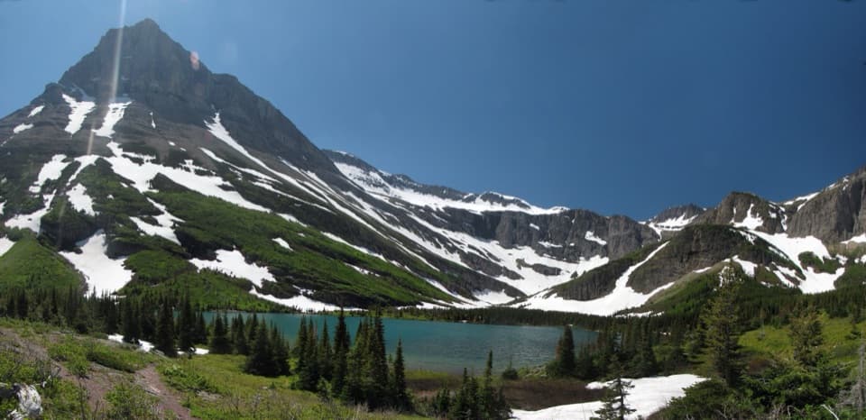 23Bullhead Lake TrailFishercap, Redrock and Bullhead Lakes, with cascading falls in between
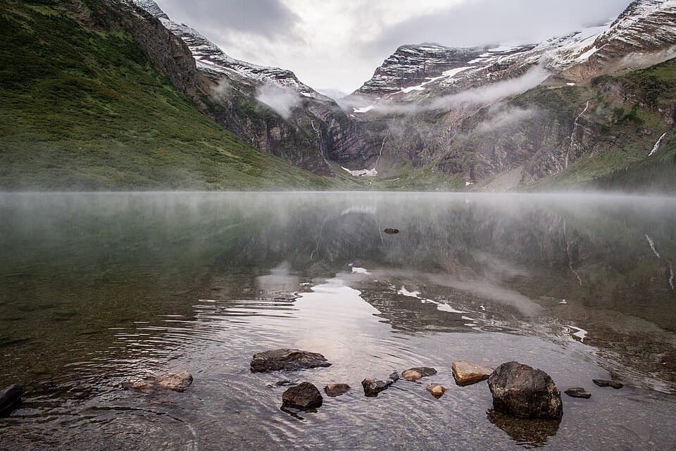 24Gunsight Lake TrailA long valley walk to Gunsight Lake’s rocky shore
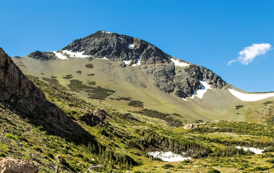 25Firebrand Pass TrailA long climb to big views over remote Ole Creek country.
 26Apikuni Falls TrailA steep short climb to a two-tier waterfall above Cracker Flats
 27Swiftcurrent Lake TrailAn easy lake loop with mountain and historic lodge views.
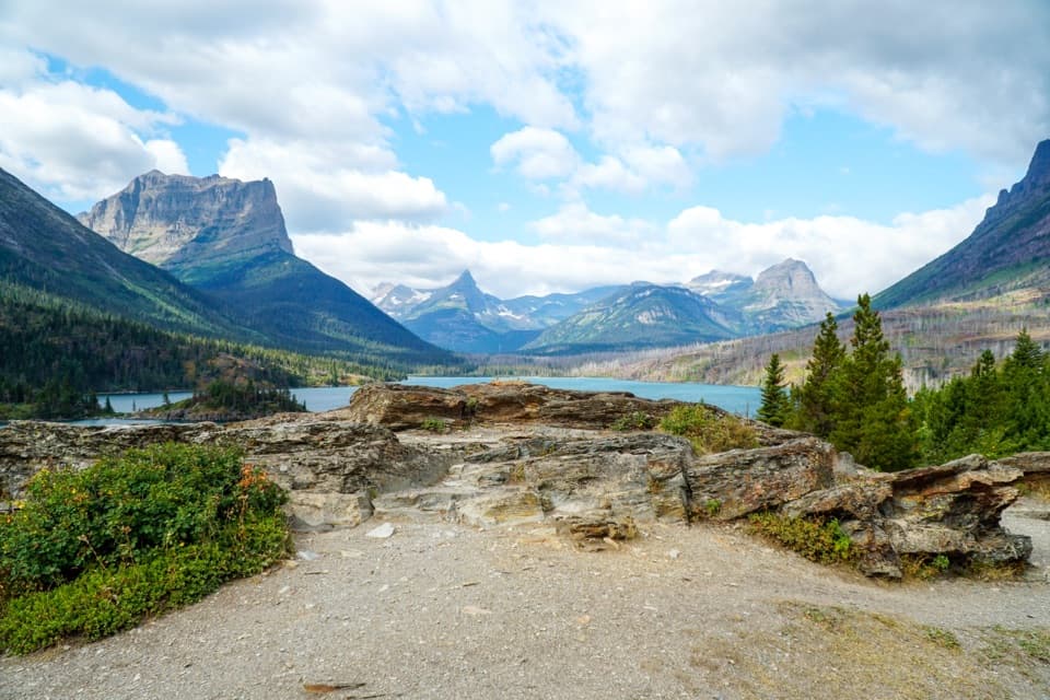 28Sun Point Nature TrailWalk from a historic lakeside overlook toward Sunrift Gorge.
 29Sperry Glacier TrailA long climb to high lakes, a cable-assisted pass, and glacier ice.
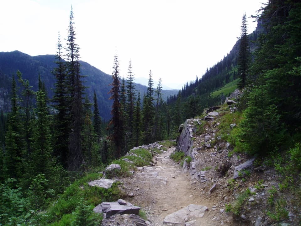 30Sperry Chalet TrailA steep, rocky climb to the stone chalet above Lake McDonald
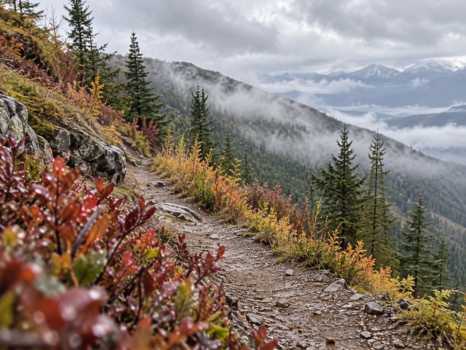 31Huckleberry Lookout TrailA long climb to a historic fire lookout and open ridgeline views.
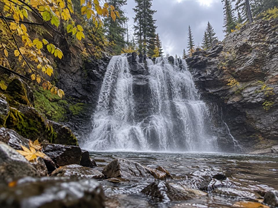 32Rockwell Falls TrailBeaver ponds and lake views set up two wooded cascades.
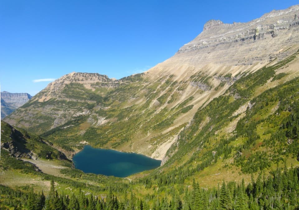 33Stoney Indian Pass TrailA high pass links two remote valleys and drops into Goat Haunt.
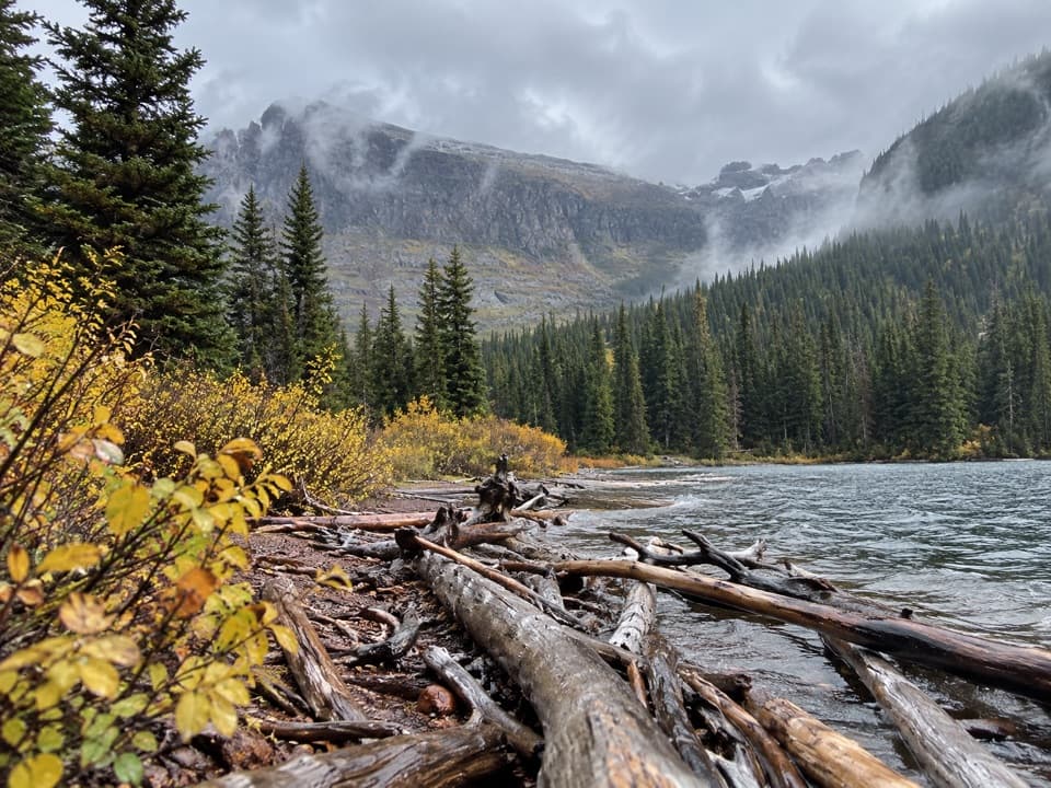 34Upper Two Medicine Lake TrailA long, mostly gentle walk to a lake beneath steep valley walls.
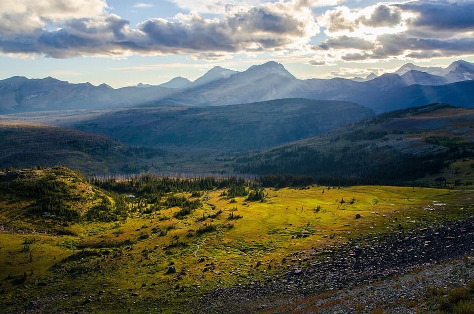 35Northern Highline TrailA remote alpine traverse for a multi-day backcountry trip.
 36Triple Divide Pass TrailA long climb to a saddle beneath a famously divided peak.
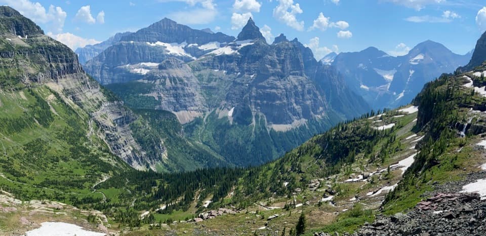 37Boulder Pass TrailGlacial lakes and two high passes on a 30-mile wilderness traverse.
 38Cobalt Lake TrailWaterfalls and beaver ponds lead to a high alpine lake.
 39North Circle LoopSix-day loop over Ptarmigan Tunnel and Stoney Indian Pass
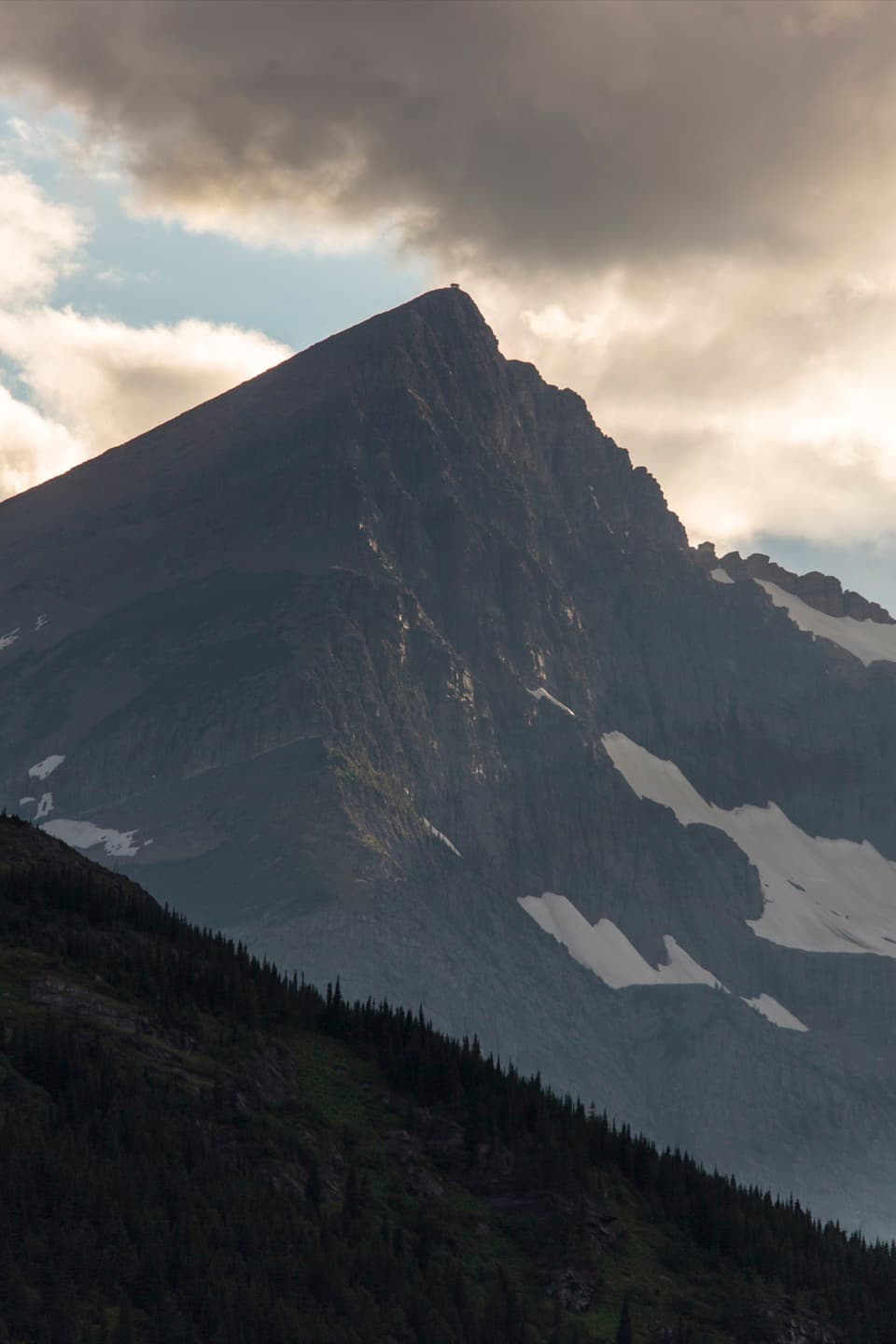 40Swiftcurrent Lookout TrailA big Many Glacier day ends at a historic summit lookout.
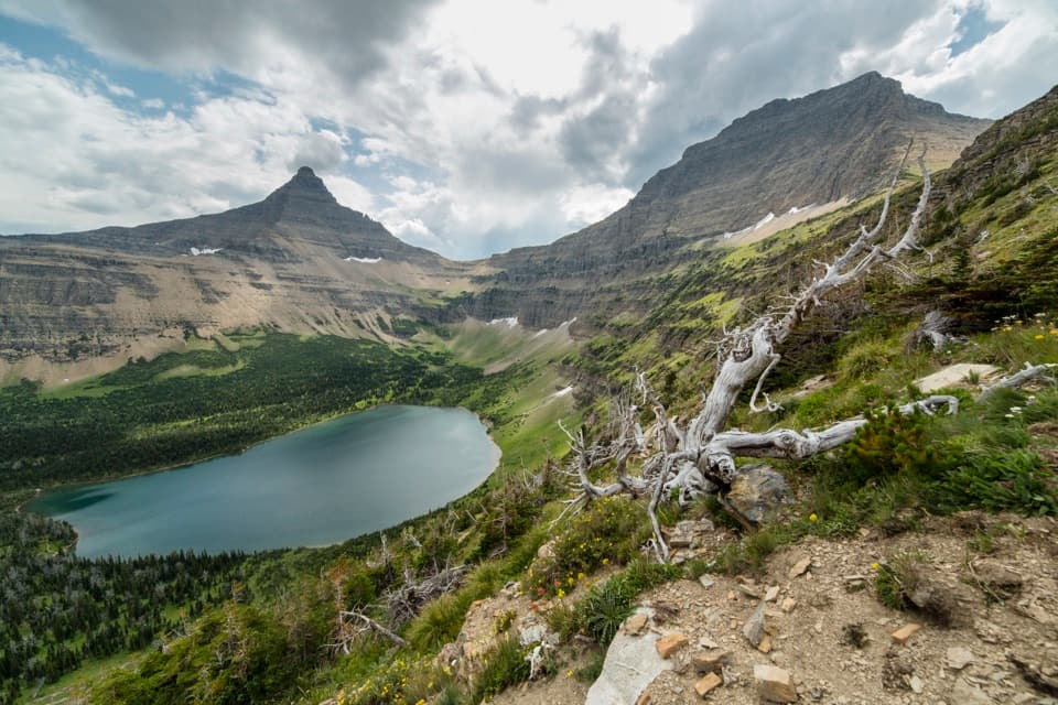 41Pitamakan Pass TrailOldman Lake, then nearly 1,000 feet of switchbacks to the pass.
 42Florence Falls TrailA long out-and-back to Florence Falls through creek and pond country
 43Brown Pass Trail via Bowman LakeA long lakeshore walk climbs to open views at Brown Pass.
 44Mount Brown Lookout TrailA 4,300-foot climb ends at a historic lookout above Lake McDonald.
 45Lake Josephine Loop TrailA mellow lakeside loop, with a beach detour facing Grinnell Falls
 46Hole in the Wall TrailA long backpacking route ends at a waterfall-lined hanging basin
 47Numa Ridge Lookout TrailA lakeshore start leads to a long, steep climb and big views.
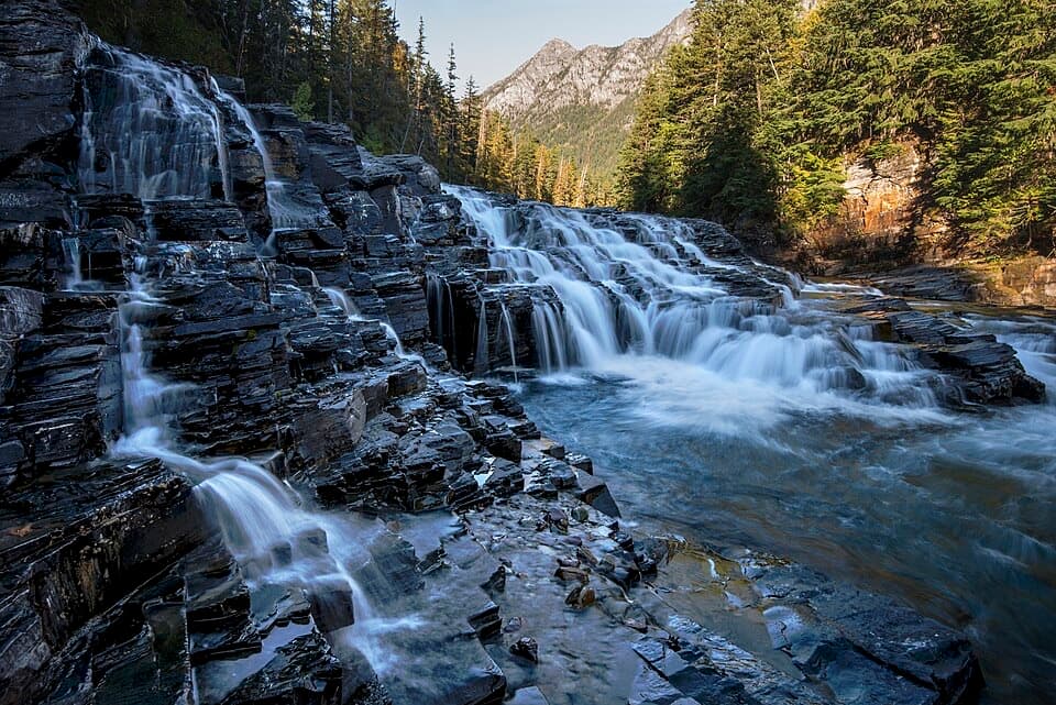 48Upper McDonald Creek TrailA gentle creek walk to two cascades and a quiet forest finish.
 49Two Medicine Pass TrailA long climb from waterfalls and lake into a windy alpine pass.
 50Otokomi Lake TrailWaterfalls and a fire-scar meadow give way to a red-cliff lake.
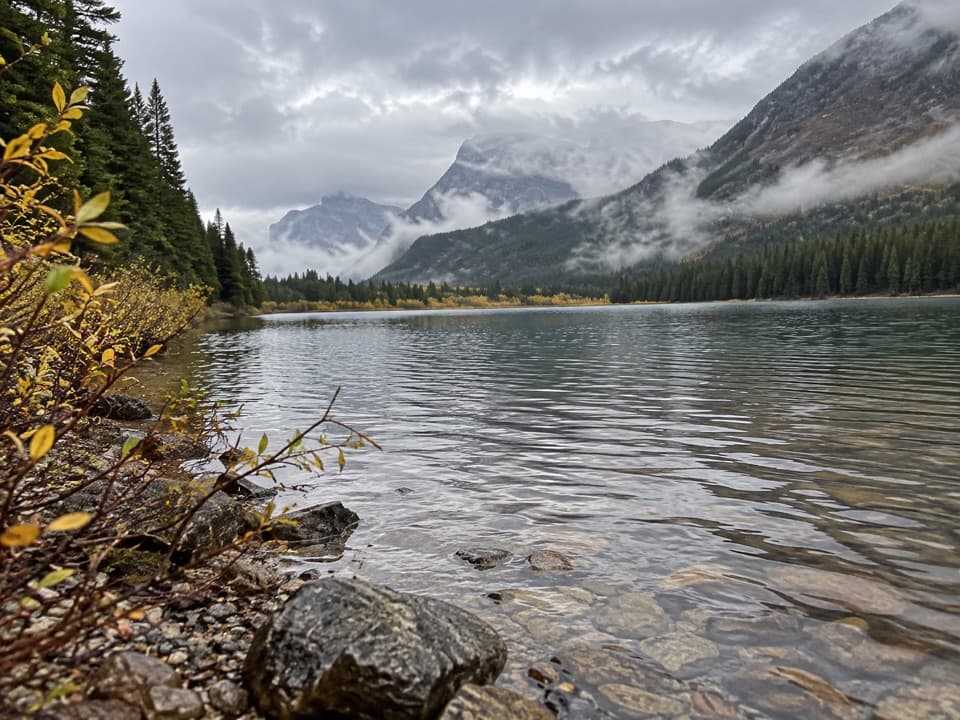 51Fishercap Lake TrailA short walk to a marshy lake where moose sometimes feed.
 52Apgar Lookout TrailSteep switchbacks through the 2003 burn climb to a fire lookout.
 53Beaver Pond Loop TrailA gentle loop past a beaver pond and the 1913 Ranger Station
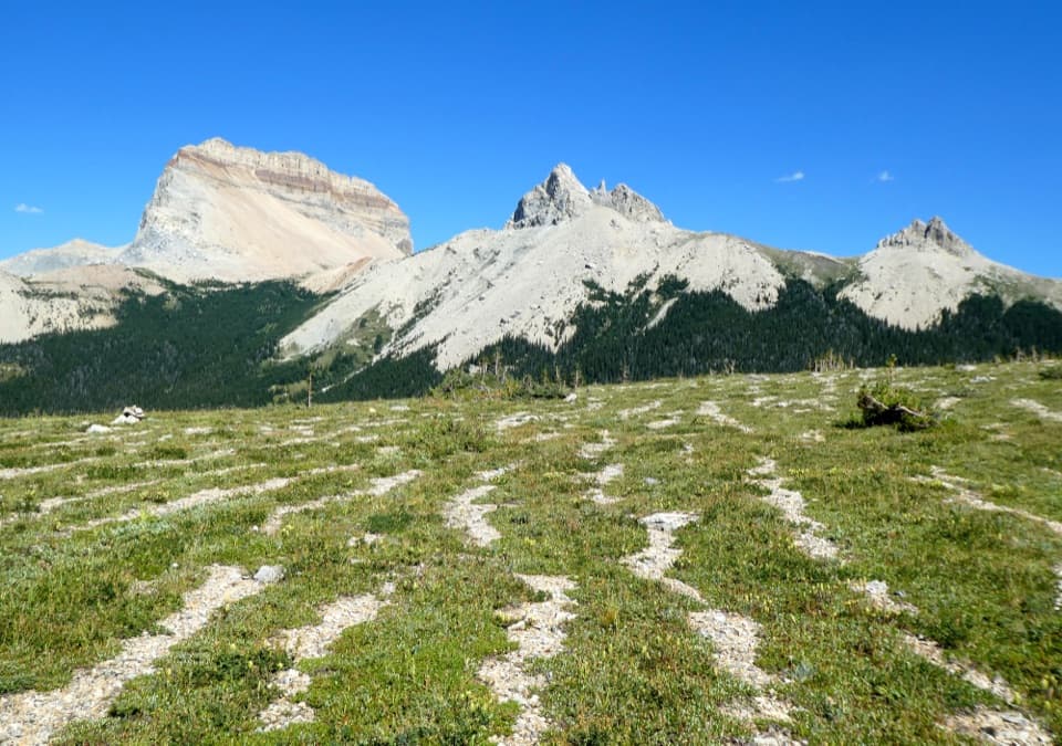 54Lee Ridge TrailA long forest climb opens to alpine stripes and cairns
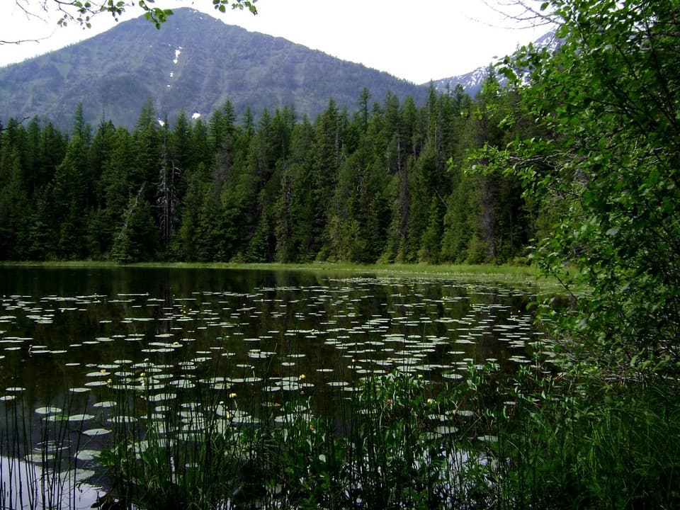 55Johns Lake Loop TrailA shady loop reaches a small lake, cascades, and a forest creek.
 56Gable Pass TrailA long Lee Ridge climb to a steep, rocky pass.
 57Rocky Point Nature TrailA lakeside loop to Rocky Point and its mountain views.
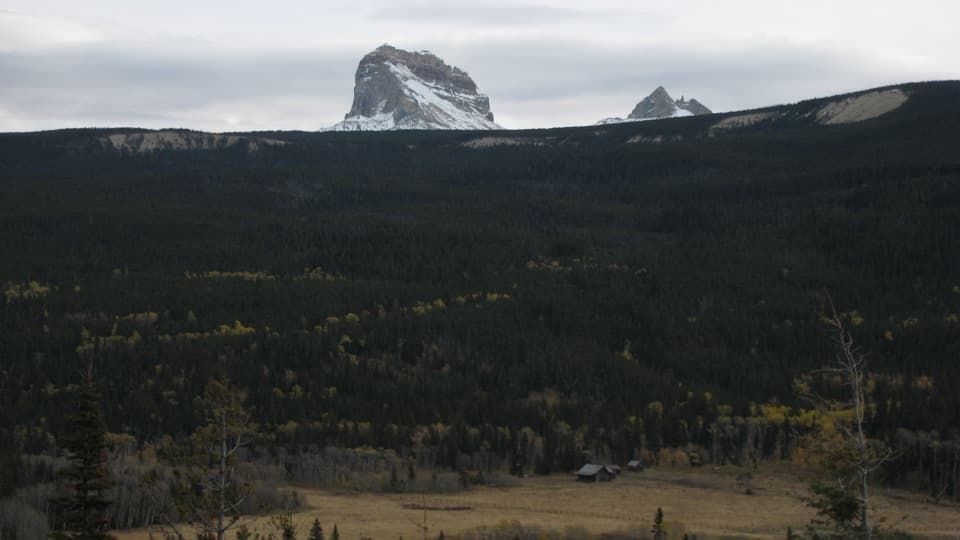 58Belly River TrailA daylong valley walk to a meadow beneath Chief Mountain.
 59Quartz Lake Loop TrailThree secluded lakes, a high ridge, and a full day on foot.
 60Elizabeth Lake TrailA full day along Belly River ends at Elizabeth Lake.
 61Snyder Lakes TrailA forest climb opens onto talus, meadows, and Lower Snyder Lake.
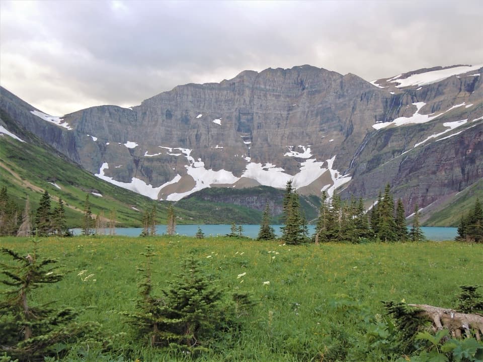 62Helen Lake TrailA remote lake below Ahern's headwall, well inside the backcountry.
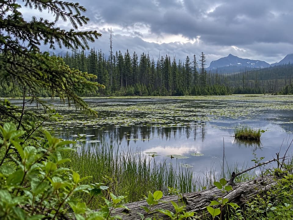 63Howe Lake TrailA mellow walk to lily pads and filtered mountain views
 64Cosley Lake TrailA long Belly River hike to a quiet lake beneath jagged peaks.
 65Akokala Lake TrailA long forest walk ends at a small lakeside beach under peaks.
 66Bowman Lake Trail to Bowman Lake HeadA long return walk follows Bowman Lake's shore to its head.
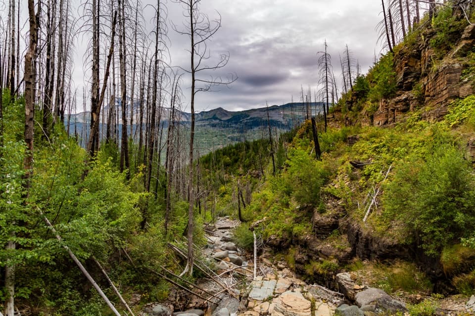 67Granite Park Trail from The LoopA steep climb through the 2003 burn to a historic chalet.
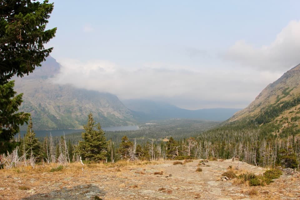 68Aster Park TrailA steep climb ends above Two Medicine Lake.
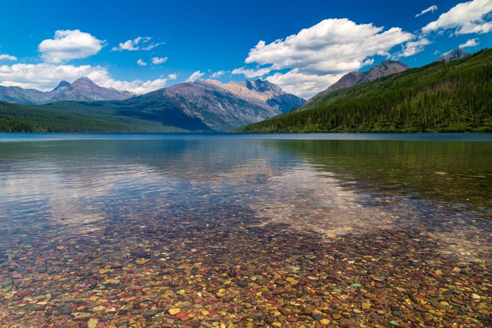 69Kintla Lake Head TrailLong forested shore leads to a remote camp at the lake’s head.
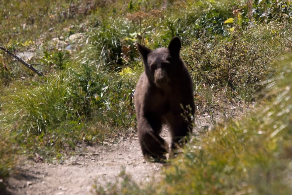 70Ptarmigan Lake TrailA steep climb to a lake beneath a massive glacial wall.
 71Kootenai Lakes TrailA remote forest walk opens onto Kootenai Lakes beneath the Citadel Peaks.
 72Medicine Grizzly Lake TrailA long creekside walk to a lake beneath the Continental Divide.
 73Lake Francis TrailA long backcountry walk ends at a lake below The Sentinel.
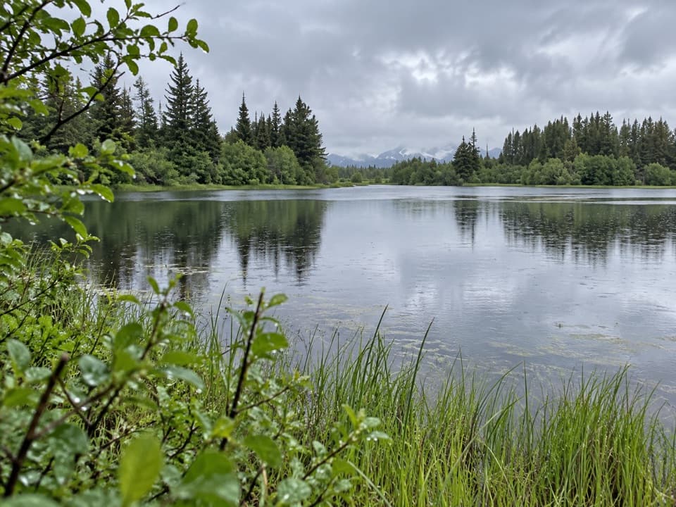 74Hidden Meadow TrailA young forest walk that opens at a homestead pond.
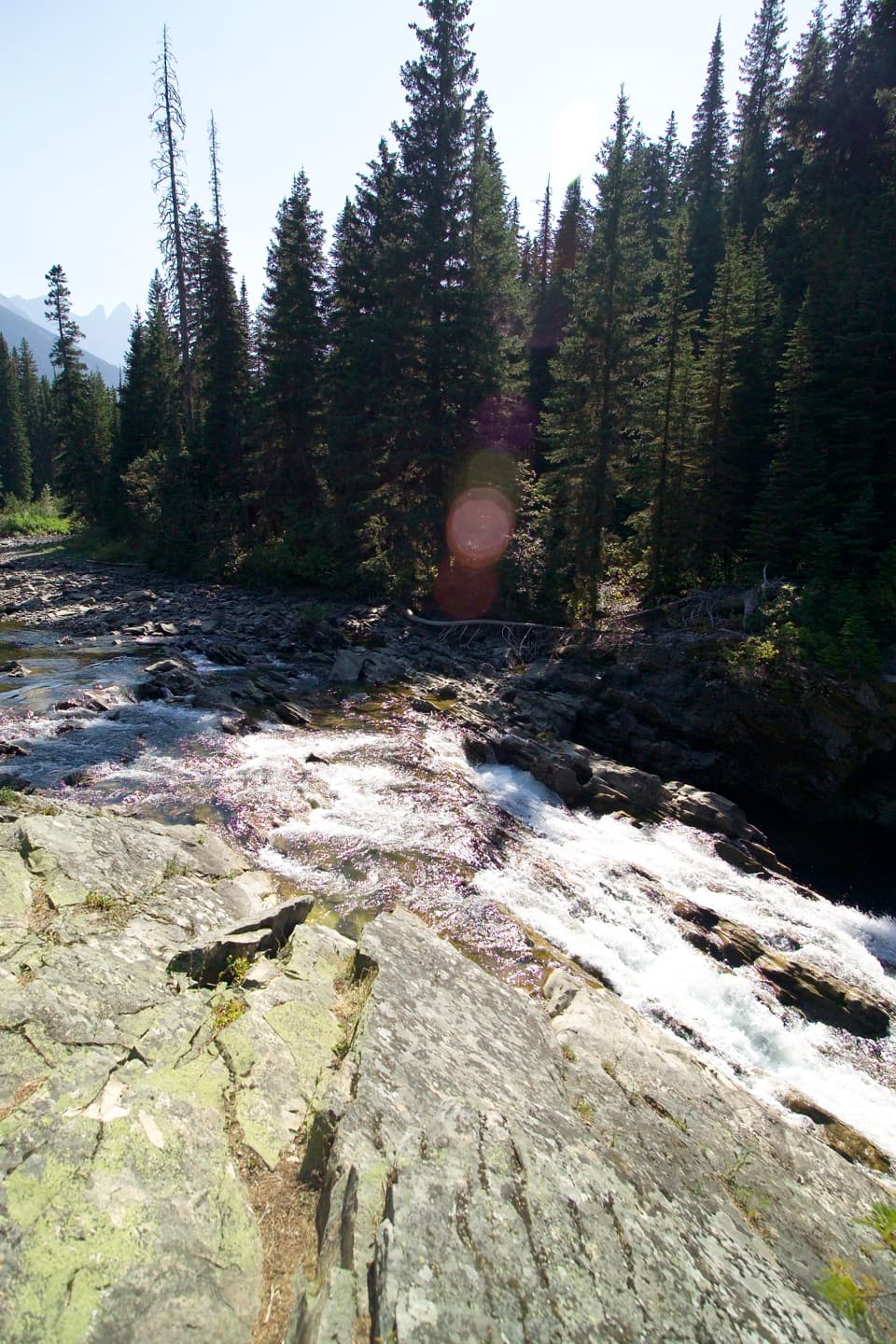 75Rainbow Falls TrailA short forest walk ends at a waterfall beneath high peaks.
 76Paradise Point TrailA short forest walk to a small beach on Two Medicine Lake.
 77Goat Haunt Overlook TrailA short, steep climb to a former lookout above Waterton Valley
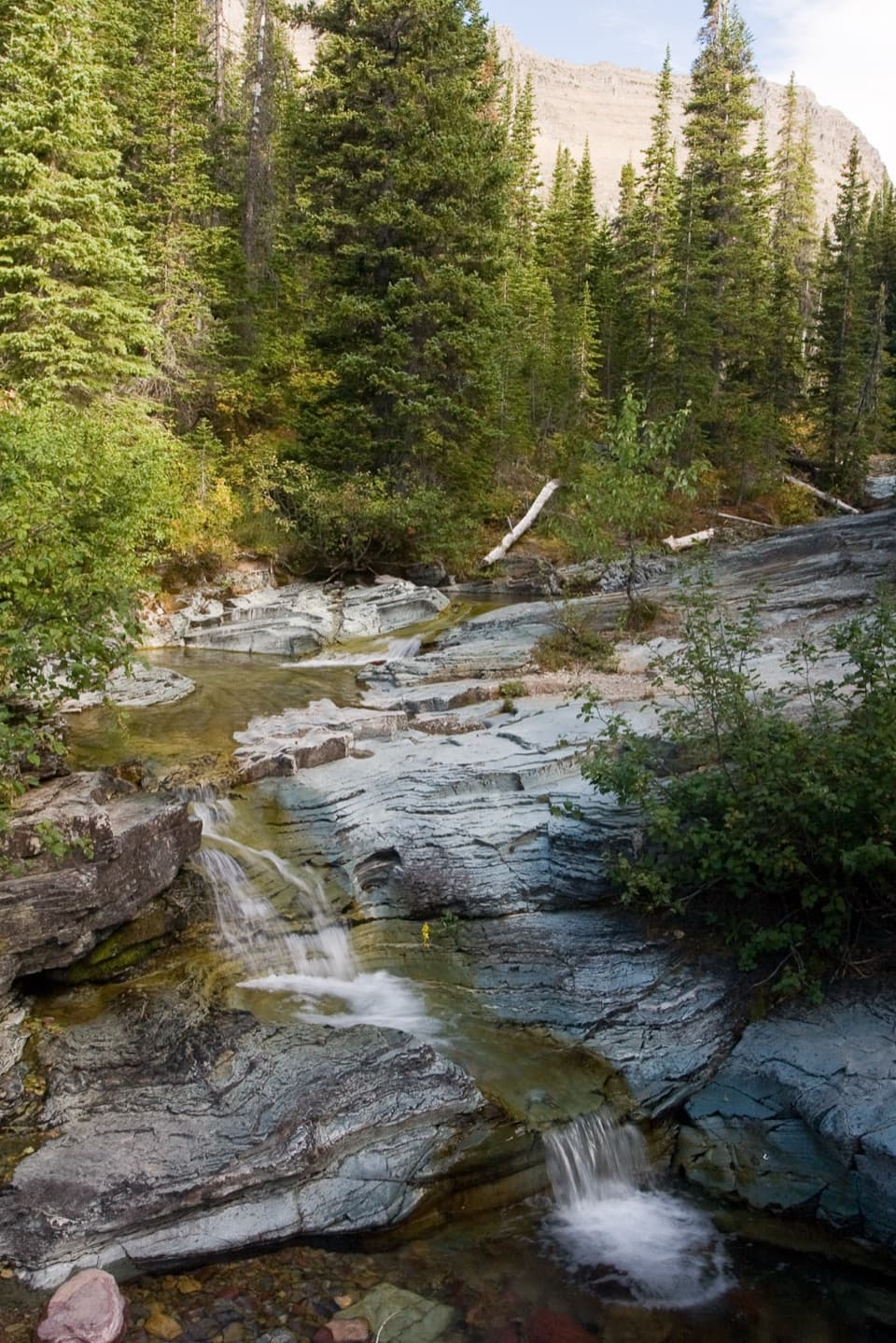 78Ptarmigan Falls TrailA forested climb to a partly screened waterfall and big peaks.
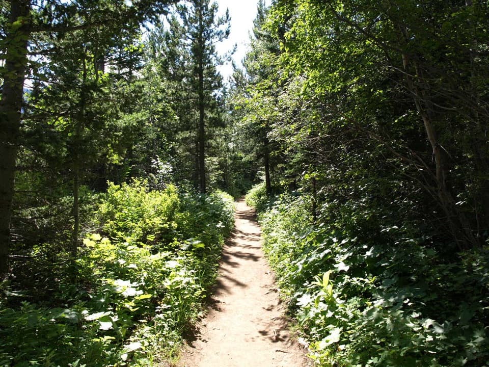 79Lakeshore Trail to Goat HauntA wooded lakeshore crossing from Waterton to Glacier’s Goat Haunt.
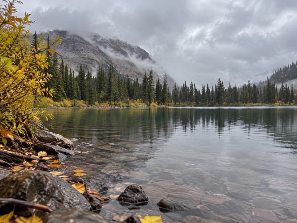 80No Name Lake TrailA long return hike to a small lake below Pumpelly Pillar.
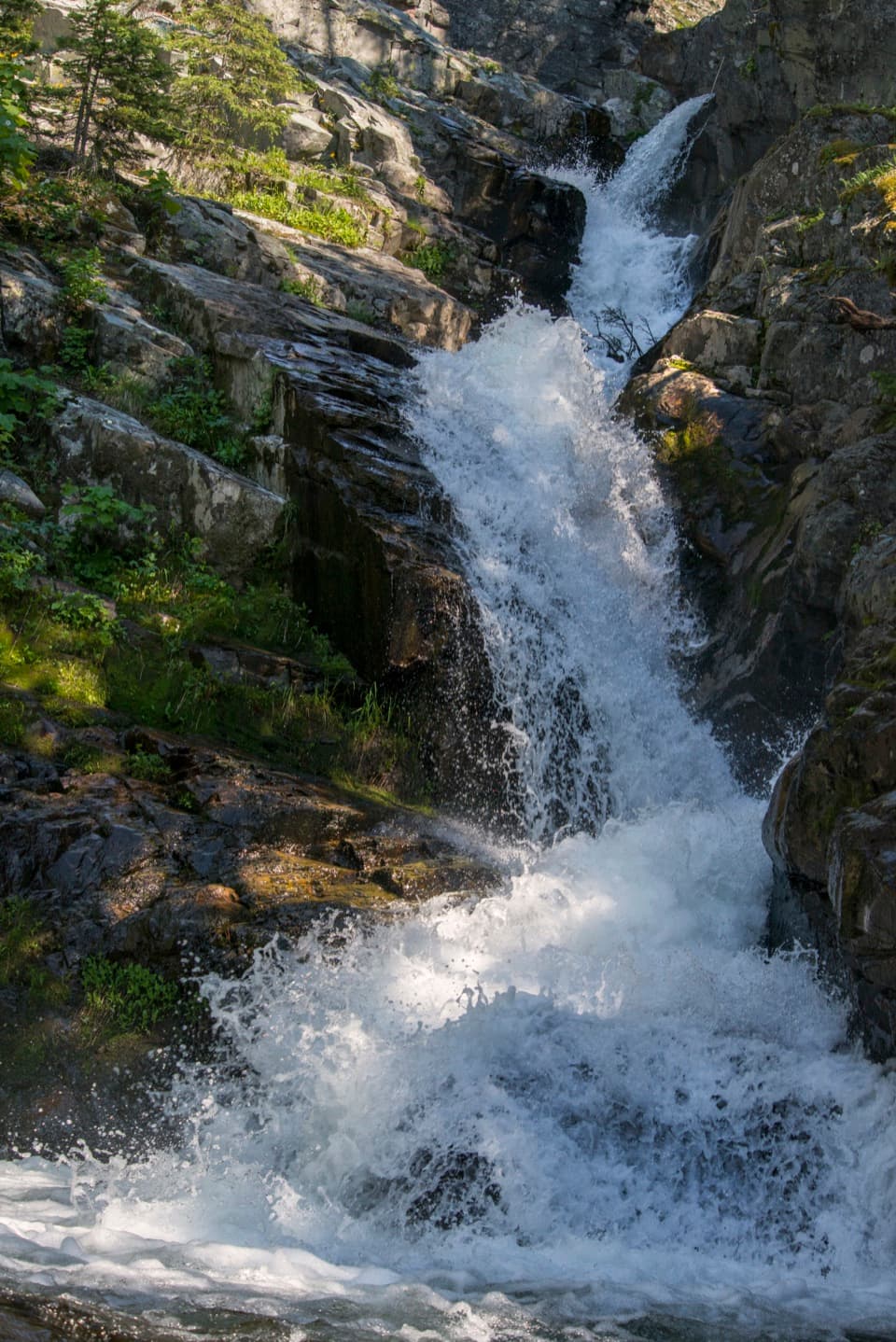 81Appistoki Falls TrailA quick falls walk, with most of the gorge view screened.
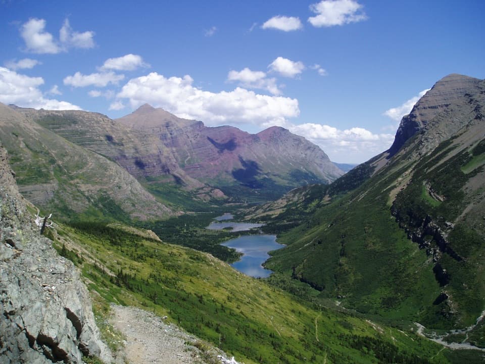 82Continental Divide National Scenic Trail (Glacier Section)A 114-mile pass-to-border traverse over the Continental Divide.
 83Oldman Lake TrailA long valley walk ends at a lake beneath Mount Morgan.
 84Aster Falls TrailA forested walk to a tiered cascade beside Aster Creek.
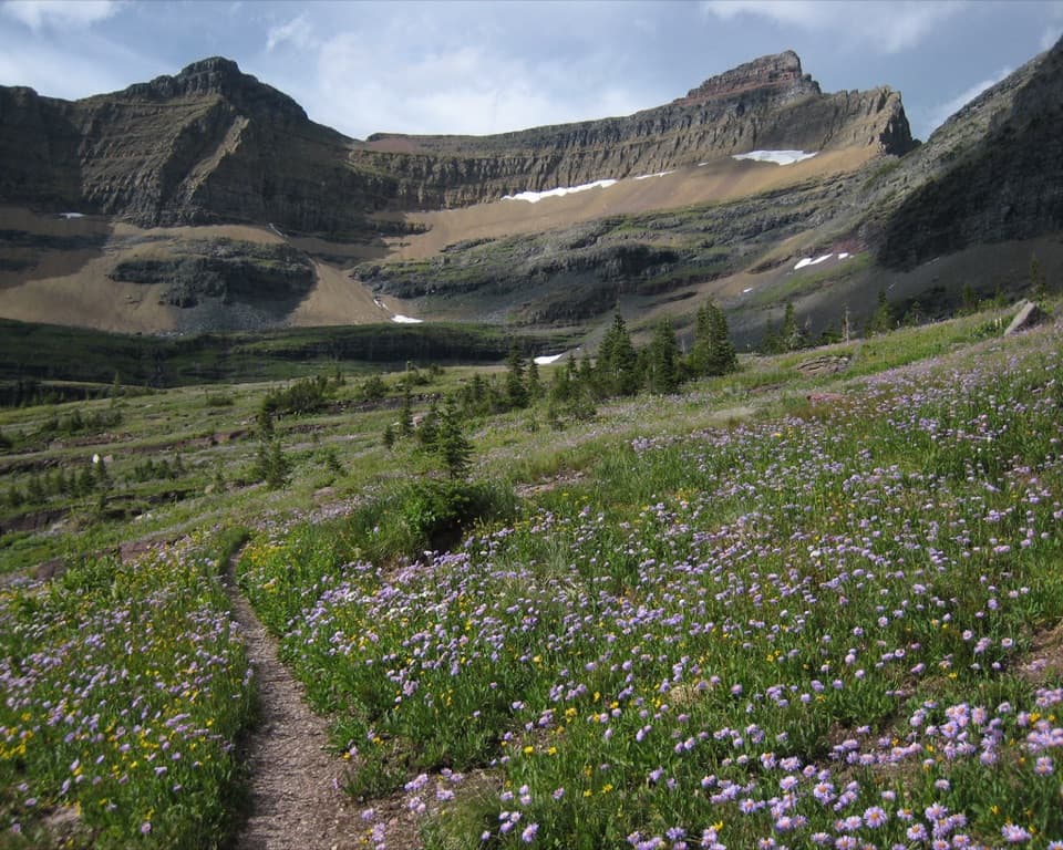 85Pacific Northwest National Scenic Trail: Glacier SectionA rugged 55-mile crossing over the Continental Divide to Polebridge.
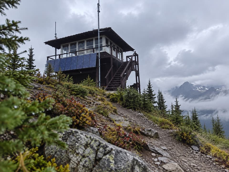 86Scalplock Lookout TrailA 1931 fire lookout crowns a steep, switchbacked climb.
 87Twin Falls TrailTwo cascades, with a boat shortcut for a quicker approach.
 88Fish Lake TrailA small lily-pad lake, earned with a steady 1,000-foot climb.
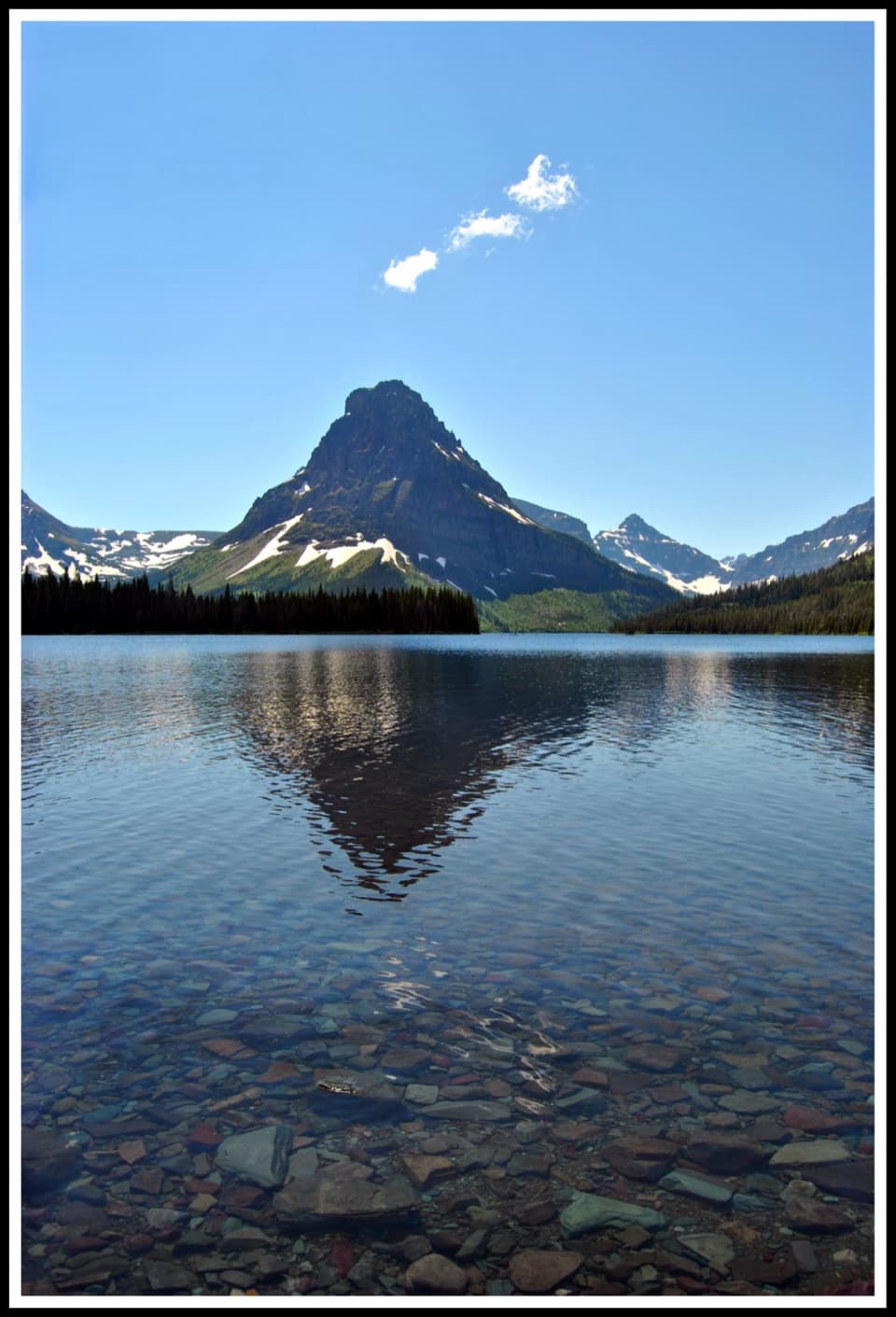 89Two Medicine Lake LoopOpen water and avalanche chutes frame this Two Medicine shoreline loop.
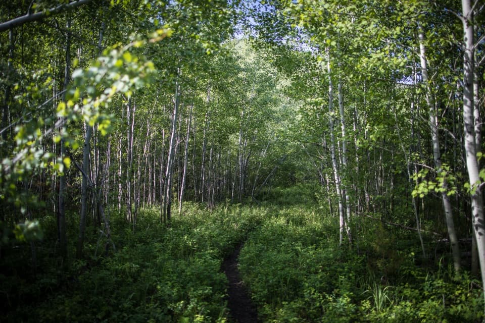 90Forest and Fire Nature TrailA short loop through the forest growing back after fire.
 91Slide Lake TrailA long day through aspens to a lake below a rockslide.
 92Ellen Wilson TrailA short meadow descent ends below Gunsight Pass’s steep cirque wall.
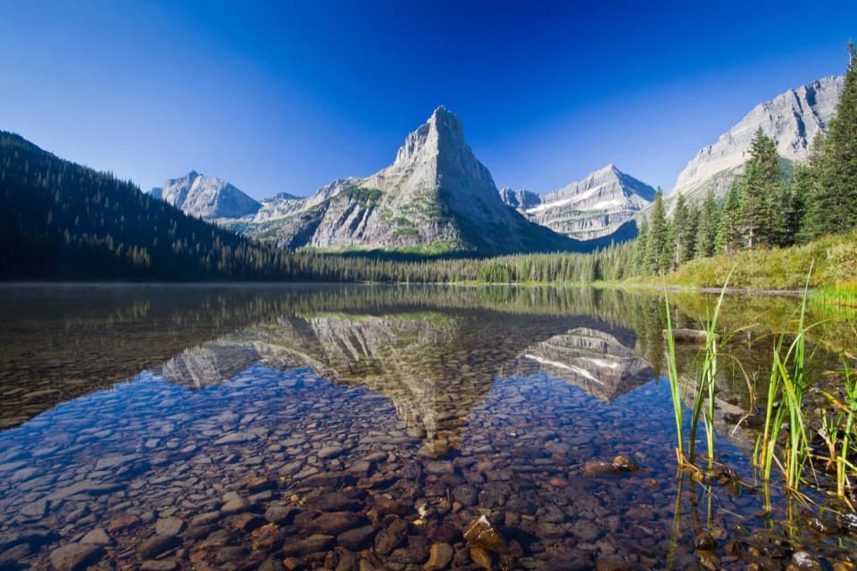 93Glenns Lake TrailThe lake head is worth the long backcountry approach.
 94Cut Bank Pass TrailA steep alpine traverse down to the Nyack backcountry.
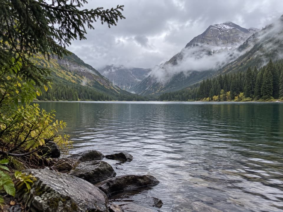 95Trout Lake TrailClimb Howe Ridge for a lake framed by high peaks.
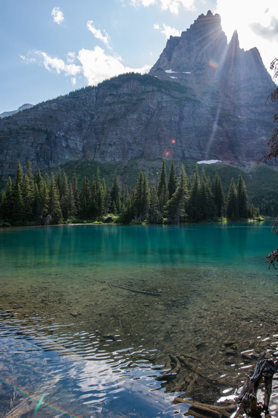 96Mokowanis Lake TrailA long valley walk to a lake beneath Pyramid Peak.
 97Lincoln Lake TrailA ridge crossing ends beneath a hanging waterfall.
 98Bear Mountain Lookout TrailA steep climb to big lake views and a historic lookout site.
 99Poia Lake TrailA ridge climb ends at Poia Lake tucked into a rocky basin.
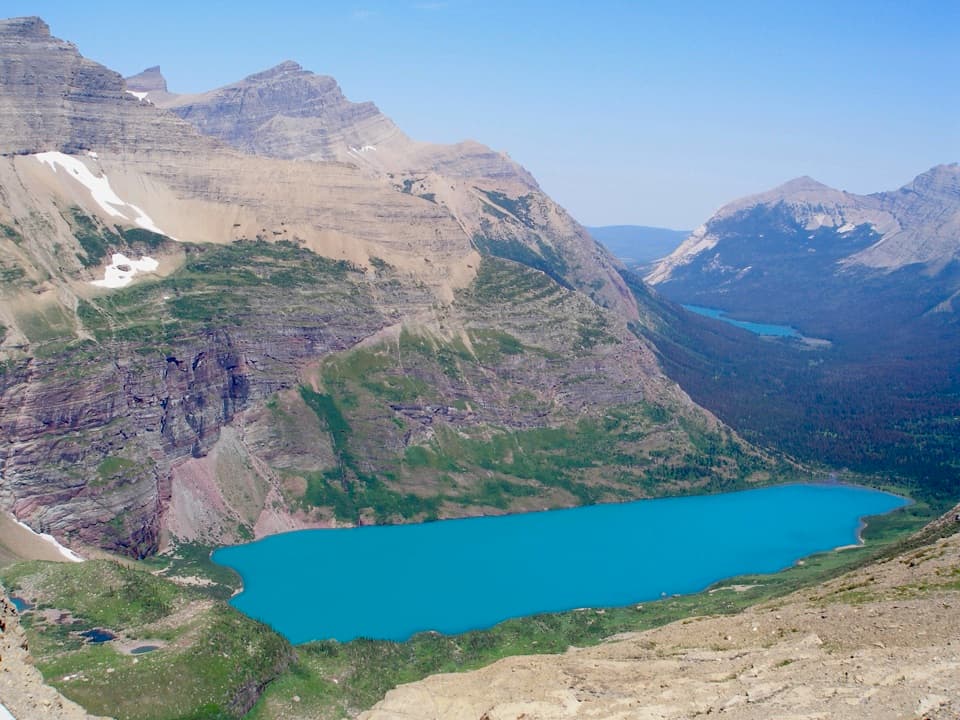 100Ahern Pass Overlook TrailA steep side trip to a high view of Helen Lake.
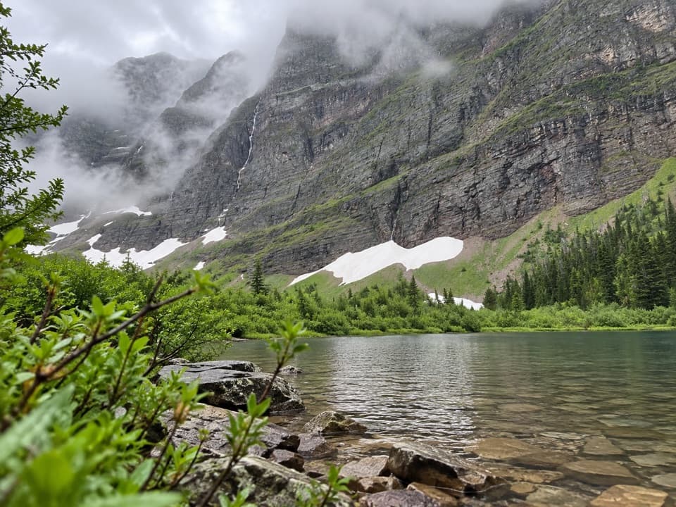 101Morning Star Lake TrailA flower meadow leads to a lake beneath towering cliffs.
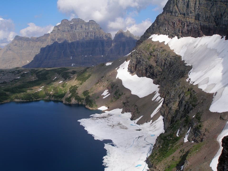 102Sue Lake Overlook TrailA steep spur climbs to a high perch above Sue Lake.
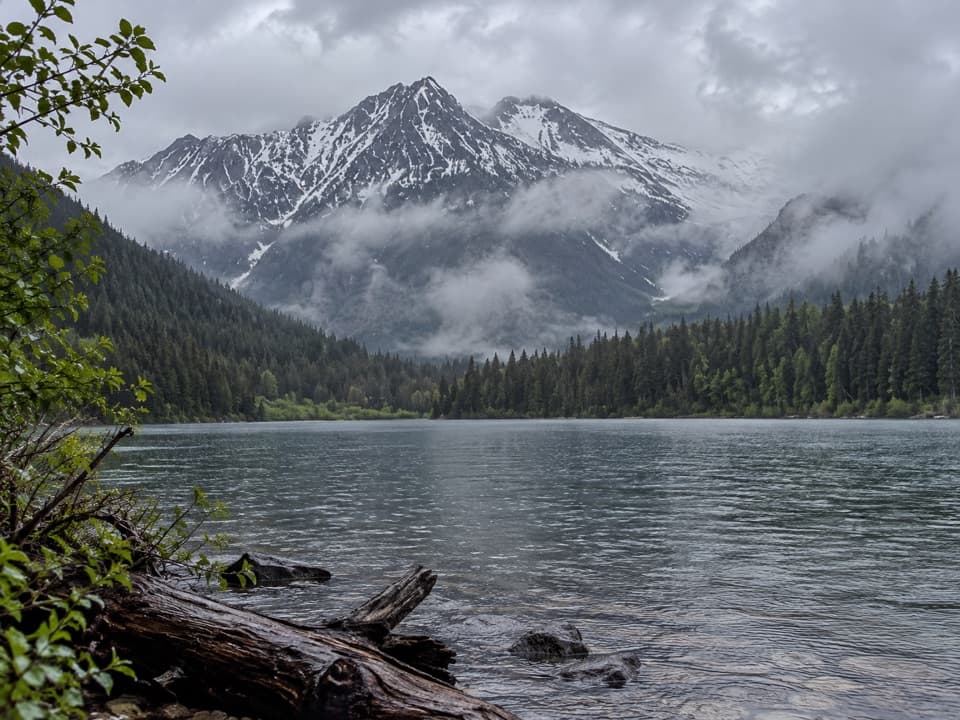 103Logging Lake TrailA gentle forest walk to a remote lake beneath mountain peaks.104Flattop Mountain TrailA remote 12-mile crossing from Packer's Roost to Fifty Mountain.
 105Red Eagle Lake TrailA long walk from St. Mary meadows to Red Eagle Lake.106Waterton Valley TrailA steep drop from alpine meadow to remote Goat Haunt.
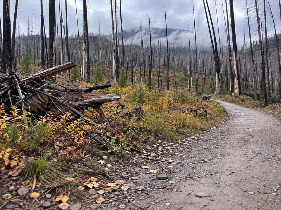 107Lake McDonald West Shore TrailA long, mostly level walk along Lake McDonald’s west shore.
 108Lower Quartz Lake TrailA steep climb to a backcountry lake in the remote North Fork.
 109Porcupine Lookout TrailA remote ridge climb to Glacier's old fire lookout.
 110Quartz Lake TrailA full-day out-and-back for a ridge climb and a remote lake.
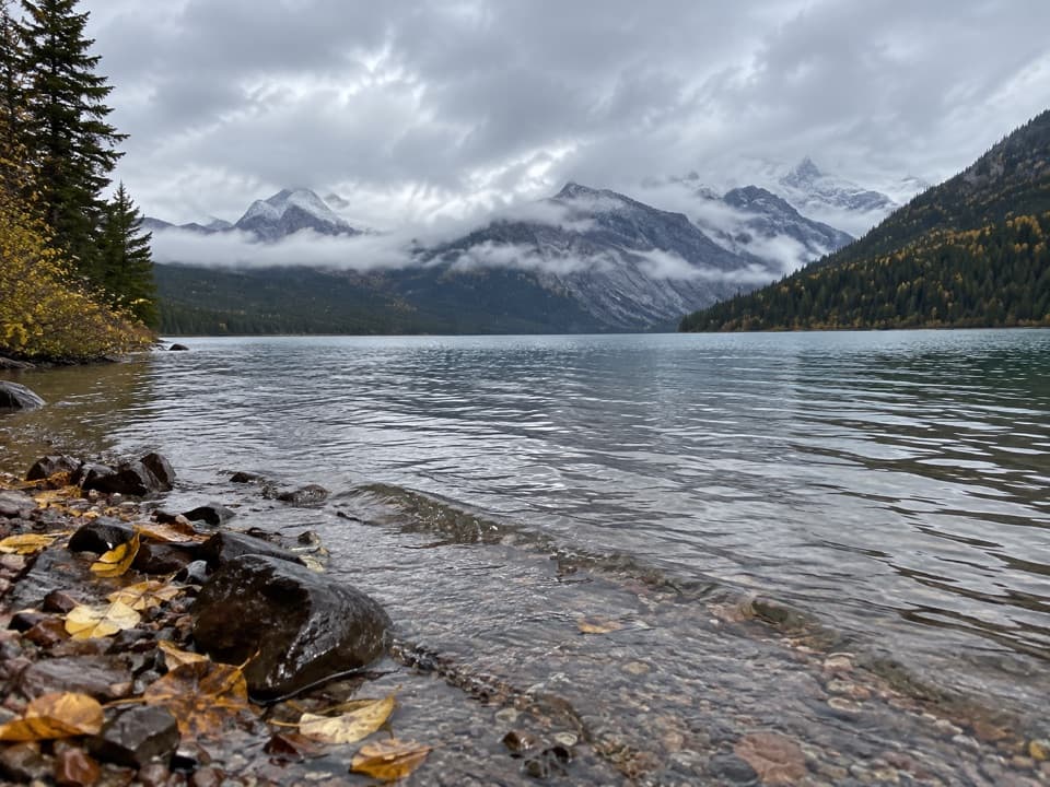 111Upper Kintla Lake via Boulder Pass TrailA 23-mile lakeshore out-and-back to Upper Kintla's backcountry camp.
 112Jackson Glacier TrailA rough climb ends in meadows beneath Jackson Glacier.
 113Covey Meadow Loop TrailA short meadow loop with Livingston Range views and homestead history.
 114Harrison Lake TrailA remote lake walk reached by an unbridged river ford.
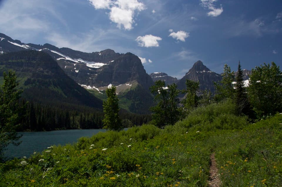 115Lake Janet TrailA suspension bridge and a long climb lead to Lake Janet.
 116Avalanche TrailA shaded forest crossing between Lake McDonald and Avalanche Creek.
 117Loneman Lookout TrailTwo fords, a burn shelf, and a rarely seen lookout above Nyack.
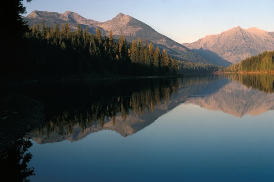 118Grace Lake via Logging Lake TrailA remote 25-mile return through forest to Grace Lake
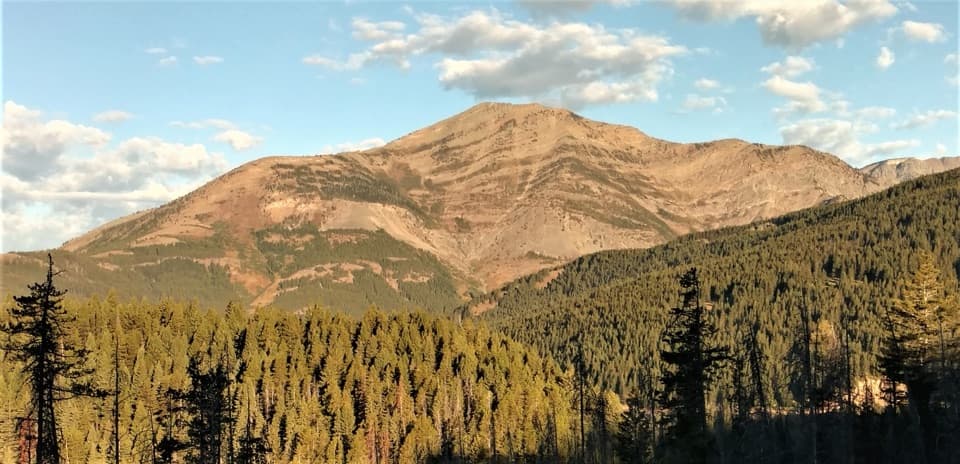 119Elk Mountain TrailA punishing climb to an old lookout site above Marias Pass.120Quartz Creek TrailA long forest walk to Lower Quartz Lake and back.
 121Autumn Creek TrailA wooded traverse past Three Bears Lake to the Lubec access.
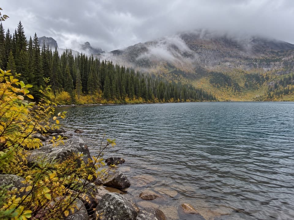 122Dutch Lakes TrailA long, rough route to a remote alpine basin.
 123Nyack Creek–Coal Creek LoopA rough 42-mile loop over Surprise Pass with repeated river fords.
 124Fish Creek Bike PathA short, mostly level path through the woods to Fish Creek.
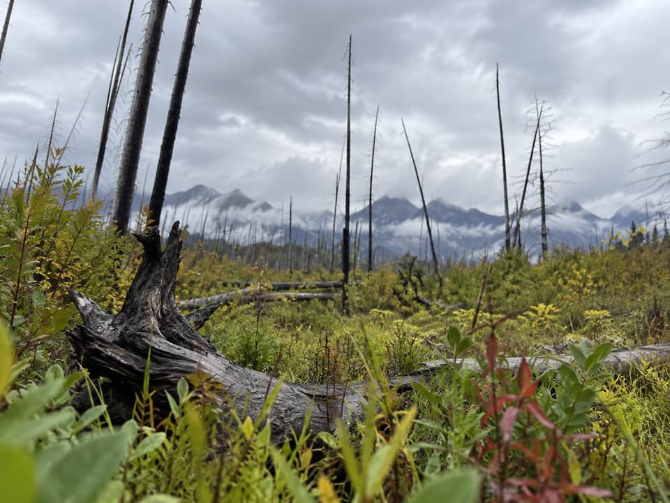 125Akokala Creek TrailA long, rough North Fork route reaches Akokala Lake from the west.126Nyack Creek TrailAn 18-mile backcountry corridor with serious river crossings.
 127Apgar Bike PathFlat, shaded pavement links Apgar Village with Park Headquarters.
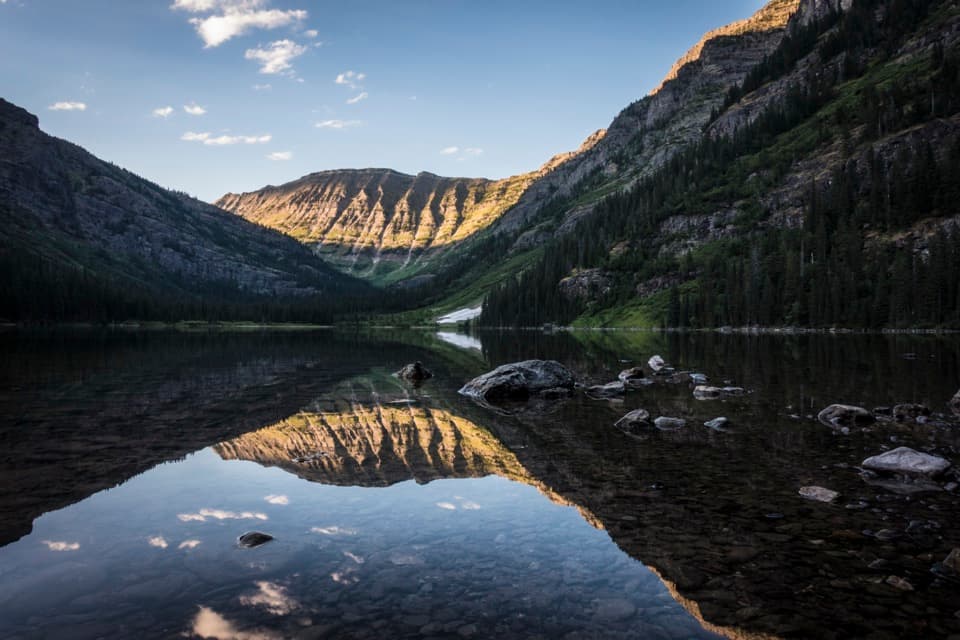 128West Lakes TrailA rugged out-and-back over Howe Ridge to Glacier's remote lakes.
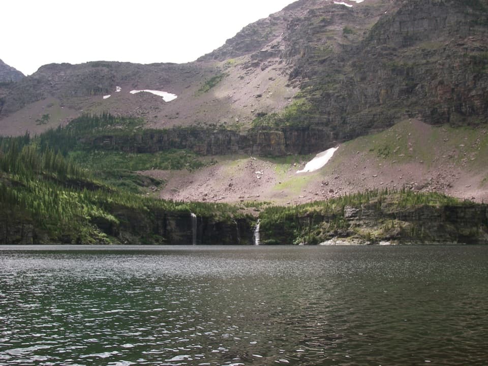 129Martha's Basin TrailTwo alpine lakes reward a serious backcountry approach.
 130Sunrift Gorge TrailA quick walk to Baring Creek’s narrow, sudden gorge.
 131Camas Creek TrailCreekside miles lead to Rogers Meadow and the Trout Lake junction.
 132Park Creek TrailA gradual creekside route into Glacier’s remote Park Creek valley.133Arrow Lake TrailCross Howe Ridge to a backcountry campsite on Arrow Lake.
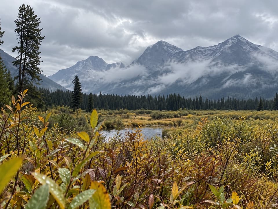 134Rogers Meadow TrailCamas Creek bends across a broad meadow beneath rugged peaks.
 135Lake Isabel TrailA 33.6-mile Walton backcountry trek to a trout-filled cirque lake.
 136Howe Ridge TrailA rough ridge traverse where route-finding matters as much as climbing.
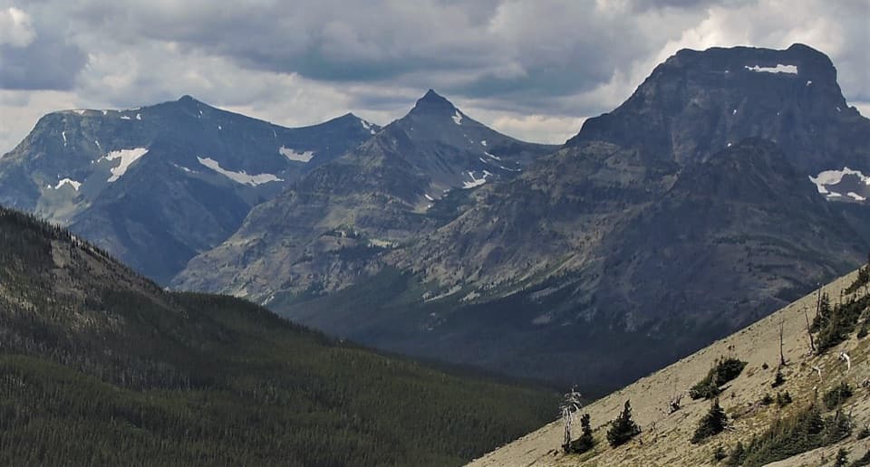 137Ole Creek TrailCross Firebrand Pass into Ole Creek's remote mountain valley.
 138Snyder Ridge TrailHard miles in the trees, with Fish Lake waiting near the end.
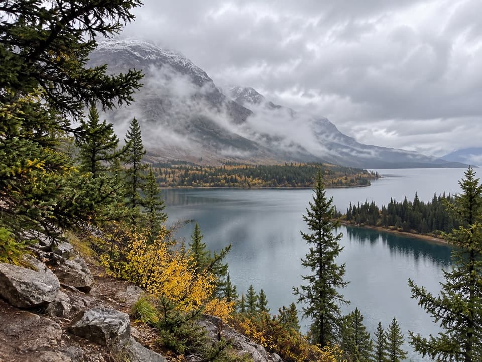 139South Shore St. Mary Lake TrailMeadows, lakeshore forest, and two waterfalls on a long traverse
 140Coal–Fielding TrailA remote traverse with long climbs and a serious river ford.
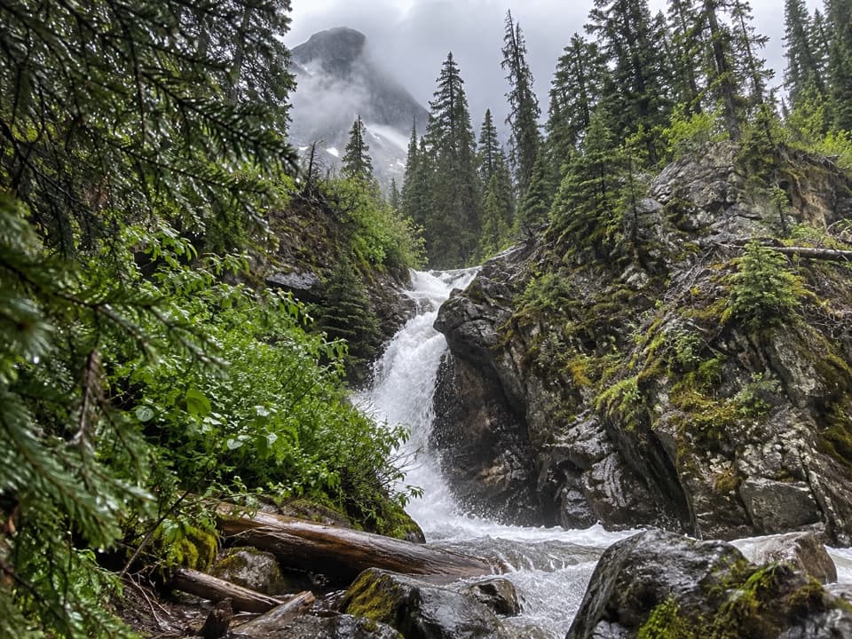 141Hidden Falls TrailA short, steep spur to a waterfall tucked in a creek gorge.142Red Gap Pass TrailRed rock and a high pass, earned over a very long hike
 143Coal Creek TrailA remote, ford-heavy route through Coal Creek's backcountry.
 144South Boundary TrailFollow the Middle Fork through an old ranger route to Lincoln Creek.
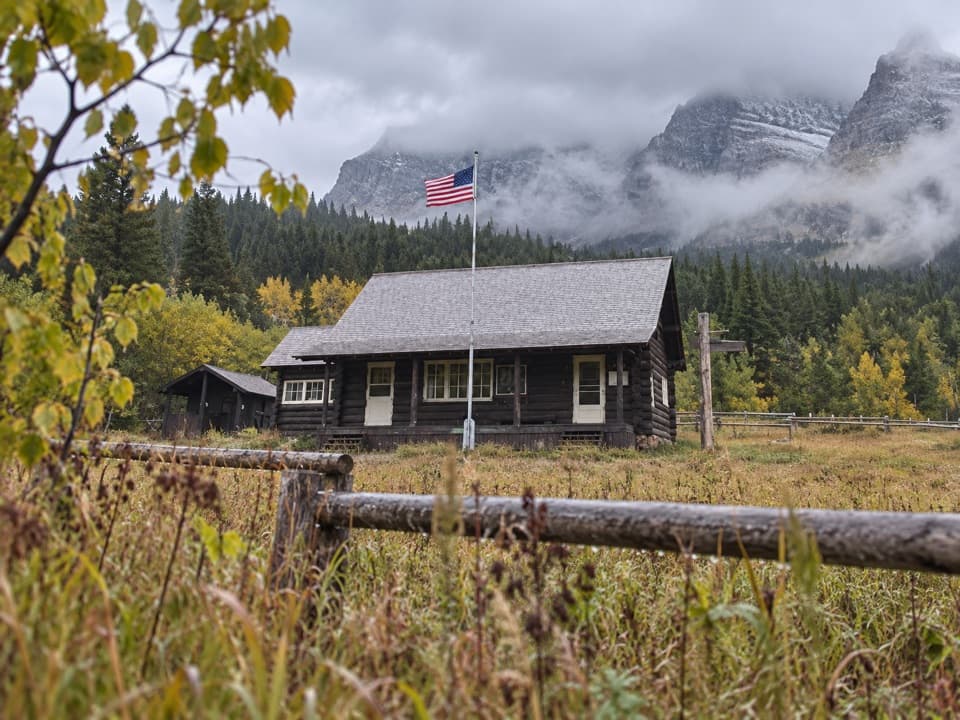 145Kishenehn TrailA remote riverside walk to an isolated historic ranger station.
 146Old Flathead Ranger Station TrailA gentle old road leads to the Flathead River confluence.
 147Belton Bridge TrailA level riverside walk to the old entrance bridge.
 148Rising Sun TrailA level lakeshore walk through aspens to the boat launch.
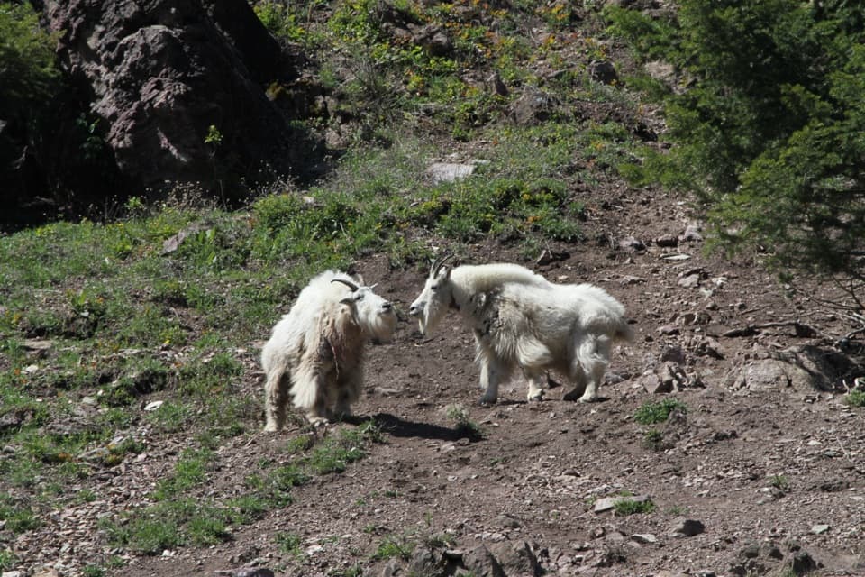 149Goat Lick Overlook TrailA short paved walk to mountain-goat country above the river.
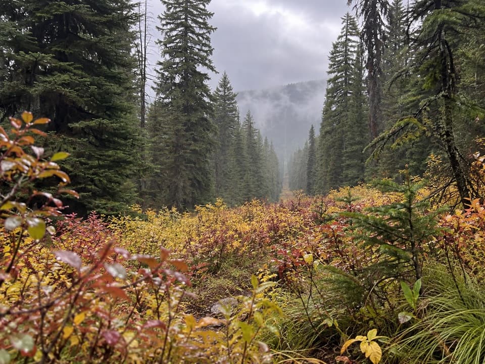 150North Boundary TrailA remote creek corridor ends at the international boundary.
 151Lincoln Creek TrailA remote creek connector with three fords and open burn views.
 152North Fork Belly River TrailFaint tread and a river ford lead to a remote North Fork.
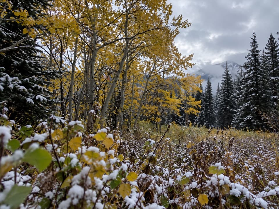 153Sherburne Boundary TrailA steep climb to a small meadow on Boulder Ridge.
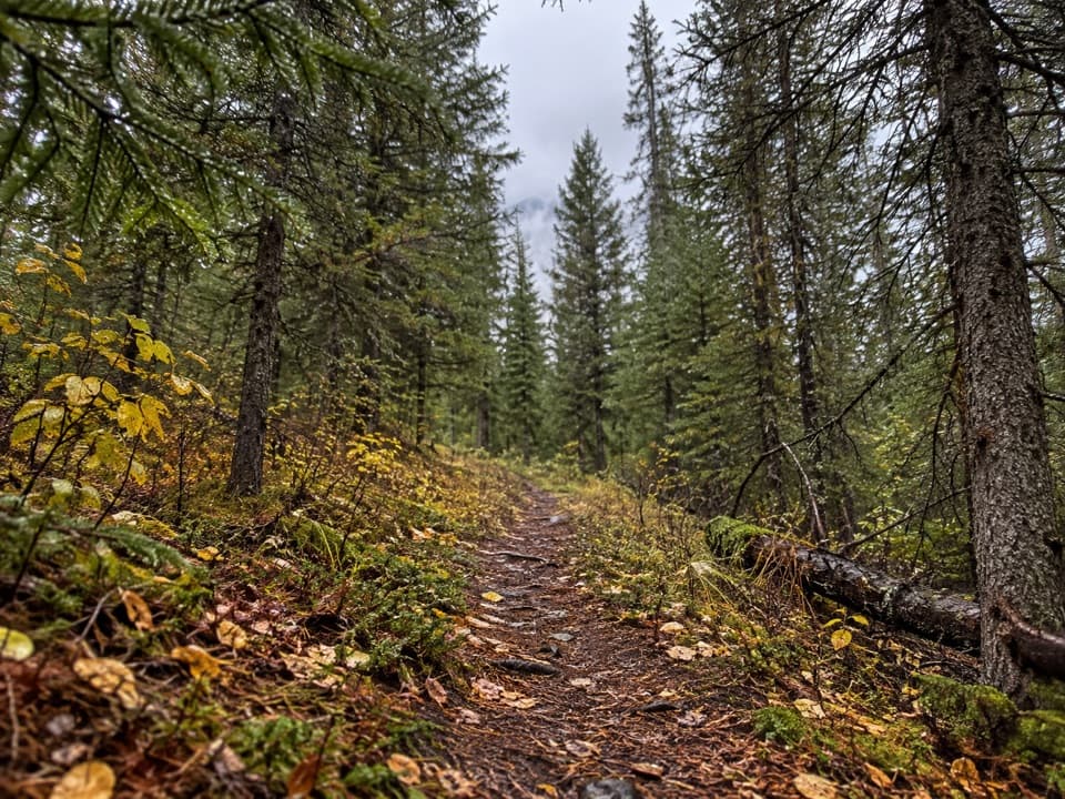 154Kishenehn Creek TrailFollow a quiet creek corridor to the stark border clearing.
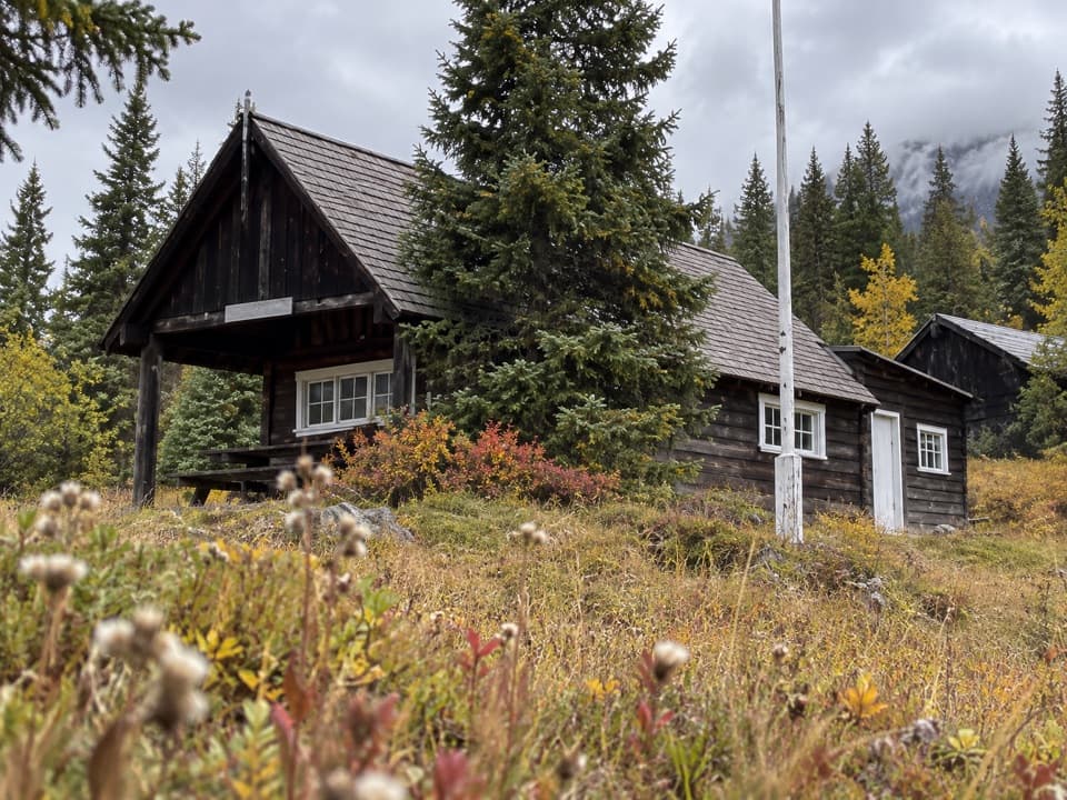 155Milk River Ridge Boundary TrailA short climb along a remnant of the old east boundary.
 156Divide Creek TrailA hard-to-find old road through burned forest to Divide Creek.
 157Mad Wolf Boundary TrailA creek ford and steep climb lead to alpine meadows.

The highest, rockiest slopes around here are a summer buffet for grizzly bears.
Glacier Tour Guide
Glacier, narrated.
Parkwolf is a GPS audio tour guide for Glacier National Park. As you drive, it chimes in with what’s ahead: hidden gems, upcoming stops, history, geology, and wildlife, right through your car’s speakers.
See the Glacier audio tourRecorded for this place
Logan Pass and Hidden Lake0:00 / 0:31
“You’re approaching Logan Pass, the highest point on Going-to-the-Sun Road. Stop for the alpine meadows and mountain views even if you’re not planning a long hike.”
Plays as you drive up to Logan Pass in the Parkwolf Glacier Tour Guide.
More stories near here in the app
- Oberlin Bend
- Lunch Creek
- East Tunnel
- Triple Arches
- 204 audio storiesacross Glacier’s roads, triggered by GPS as you drive
- Wildlife heatmapsfor Grizzly Bear, Wolverine, Mountain Goat, and 13 more
- Works offlinemaps, 157 trails, 91 places, and audio download before you lose signal
- CarPlay readysimple controls built for the drive
“Our first time to glacier and we used the audio portion for Going to the Sun Road. Wonderful information with perfect advice of what to see and do along the road.”

