
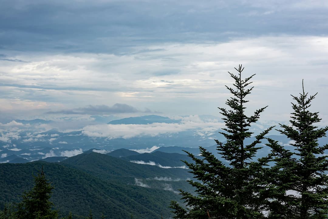
All Great Smoky Mountains trails
197 trails
 1Mount Le Conte via Alum Cave TrailA creekside climb through rock passages to high mountain views.
 2Charlies Bunion via Appalachian TrailAn 8-mile Appalachian Trail out-and-back to an exposed Smokies outcrop
 3Alum Cave Trail to Alum Cave BluffsA forest climb to a 75-foot rock shelter and natural arch.
 4Ramsey Cascades TrailFour miles uphill to the Smokies' tallest waterfall
 5Mount Cammerer TrailA steep climb to a historic tower above the Smokies.
 6Gregory Ridge TrailA steady climb to a grassy bald with wide mountain views.
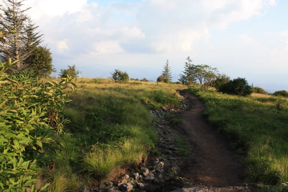 7Forney Ridge Trail to Andrews BaldDescend through spruce-fir forest to Andrews Bald, then climb back.
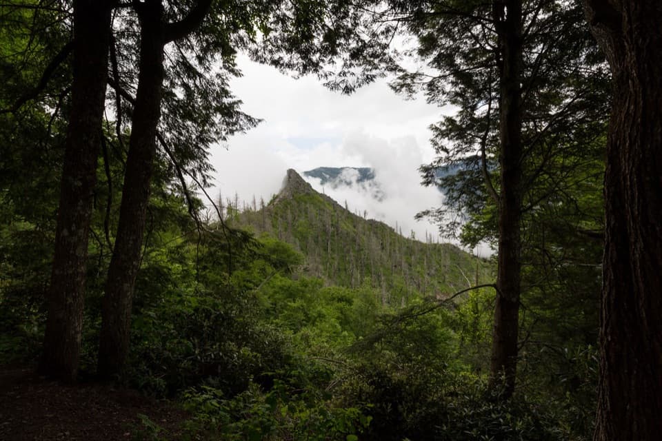 8Chimney Tops TrailA steep stair climb ends at a view of the fire-scarred pinnacles.
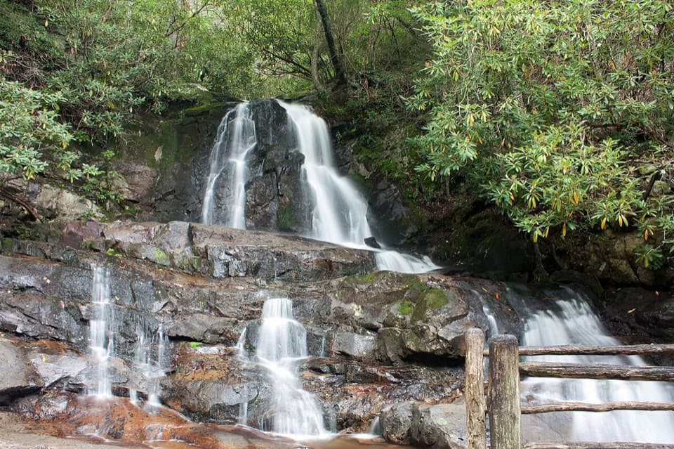 9Laurel Falls TrailA rough paved climb leads to an 80-foot Smokies waterfall.
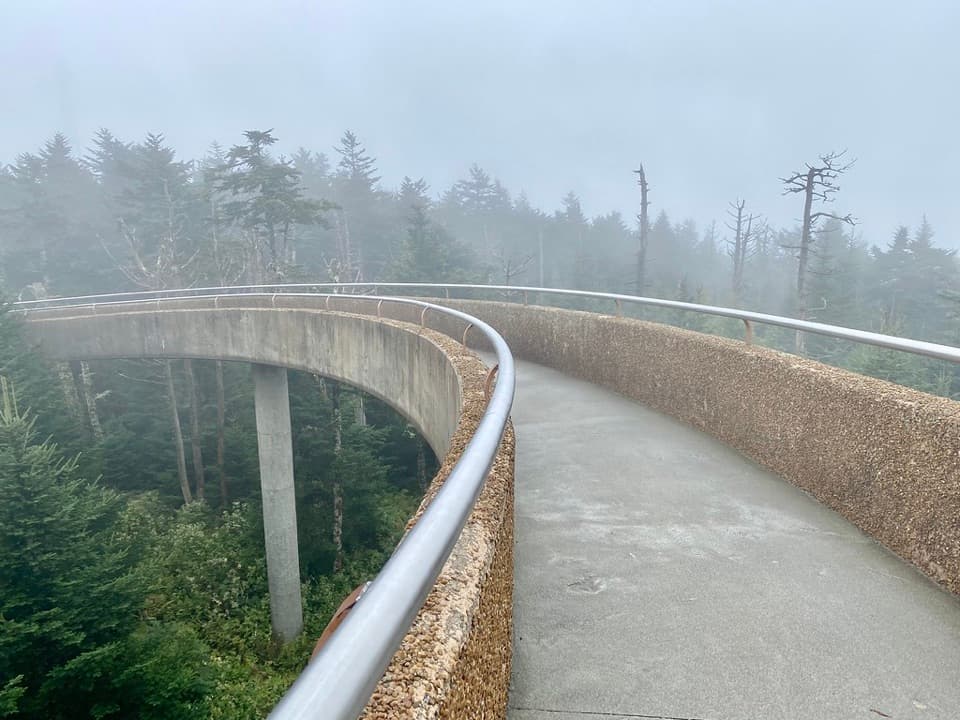 10Kuwohi TrailA steep paved climb to a tower above the spruce-fir canopy.
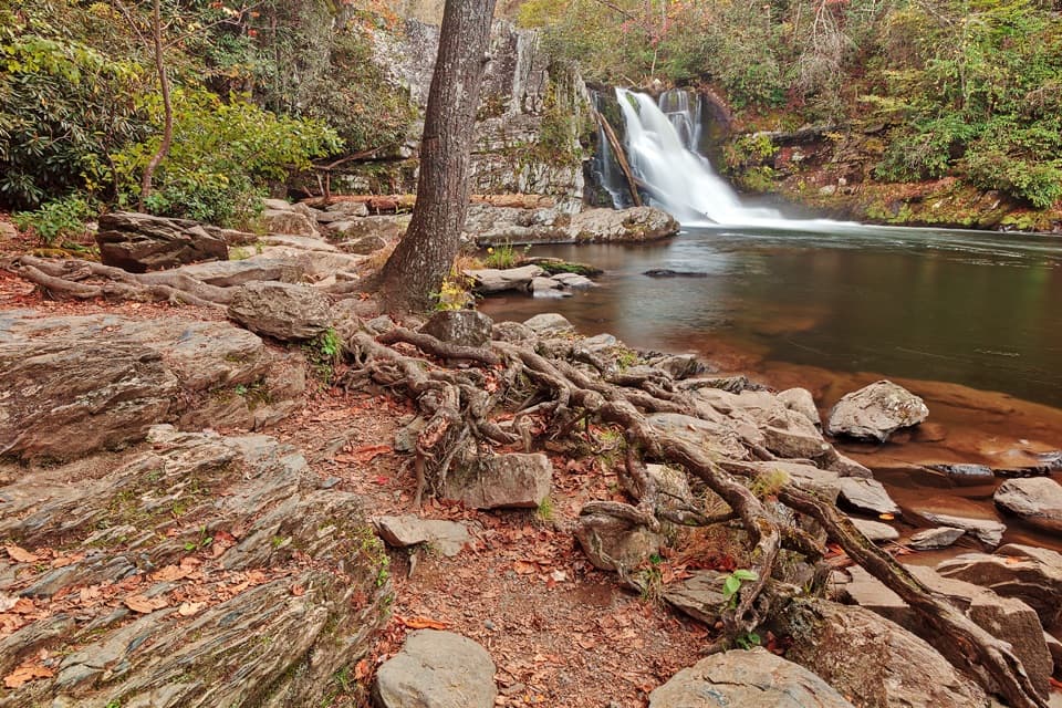 11Abrams Falls TrailFive forest miles to a 25-foot waterfall over sandstone.
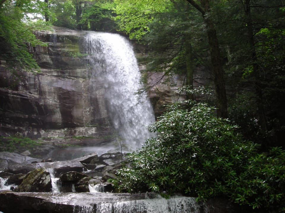 12Rainbow Falls TrailClimb a boulder-lined creek valley to an 80-foot waterfall.
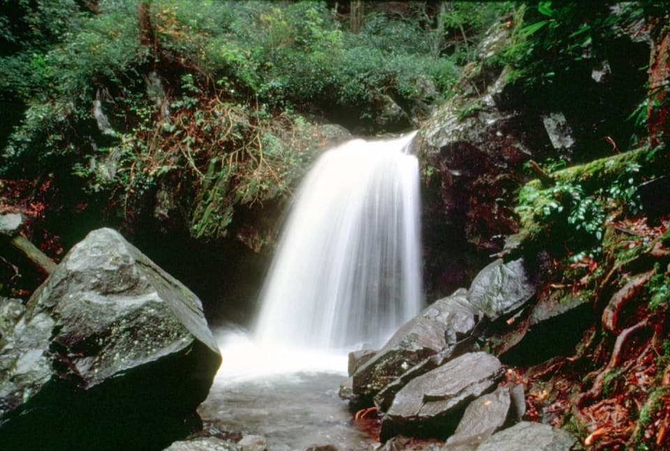 13Grotto Falls TrailA shaded 2.6-mile walk to a waterfall you can walk behind.
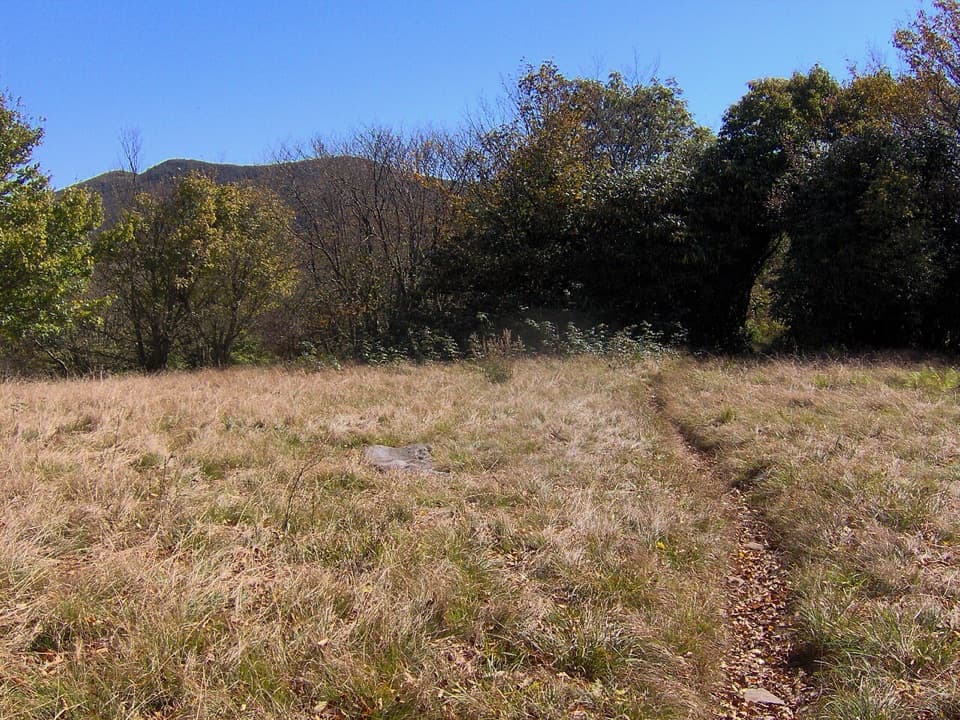 14Rocky Top and Thunderhead Mountain TrailA steep day to Rocky Top and Thunderhead's quiet high point.15Gregory Bald TrailFlame azaleas, a grassy summit and open views reward a long climb.
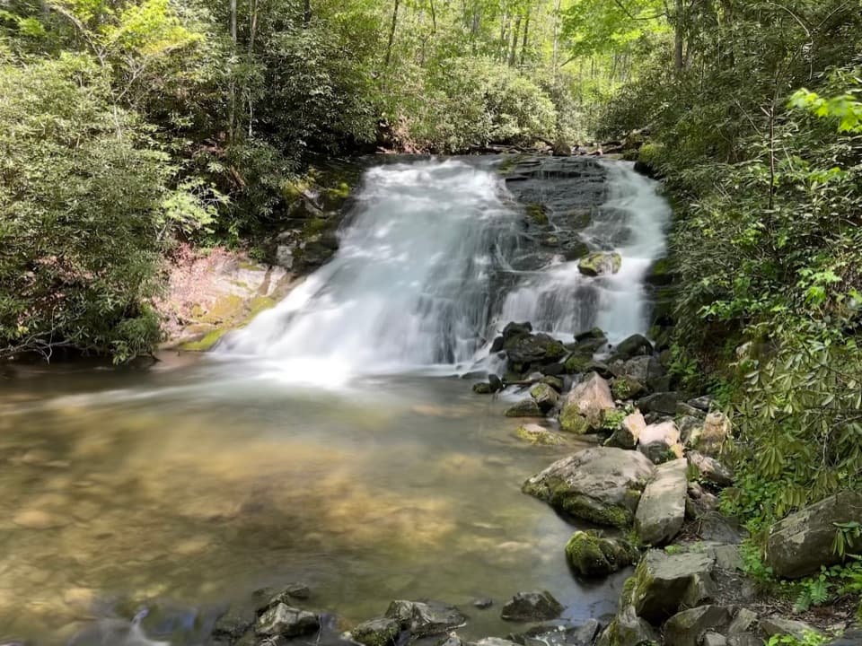 16Deep Creek Waterfalls LoopThree waterfalls in one short loop, with one steep opening climb
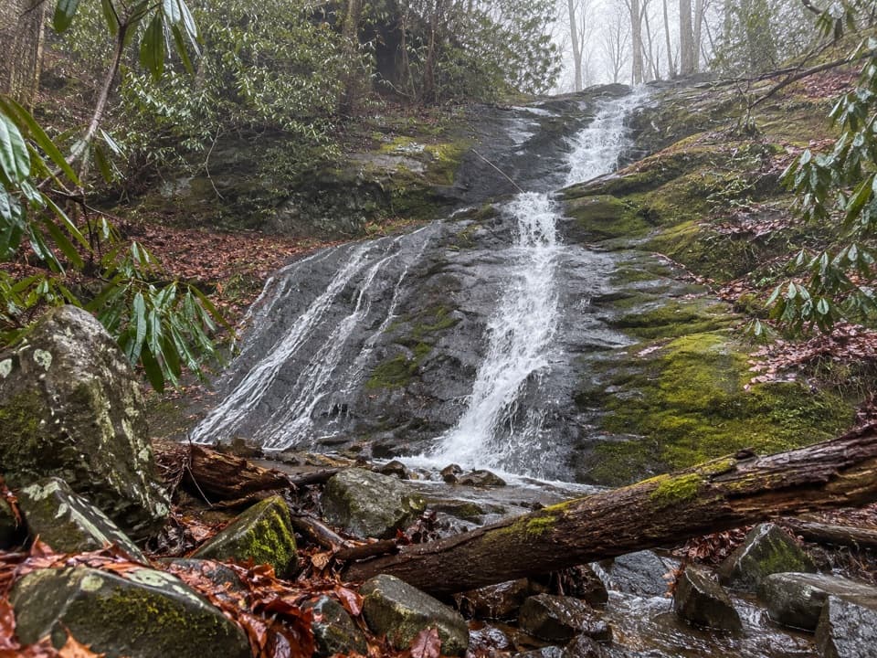 17Porters Creek TrailCreekside miles lead past old farms to Fern Branch Falls.
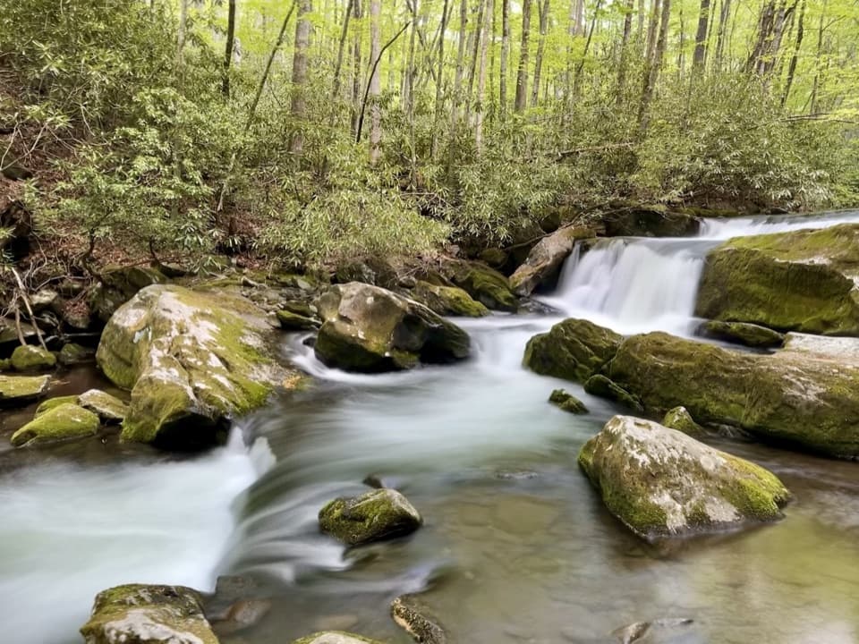 18Middle Prong TrailA long railroad grade follows cascades into a rougher upper trail.19Appalachian TrailA week on the high ridge, with spruce-fir and rocky overlooks.
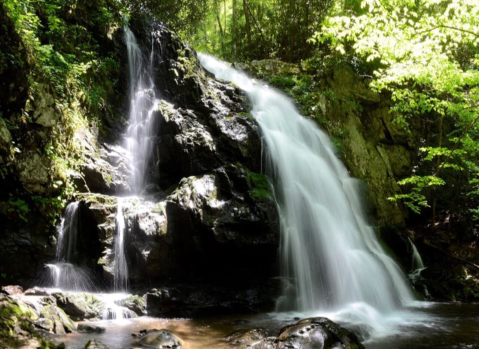 20Spruce Flats Falls TrailA short Smokies waterfall hike with a steep, rocky finish
 21Mount Sterling TrailA steep climb to a historic tower and wide clear-day Smokies views.
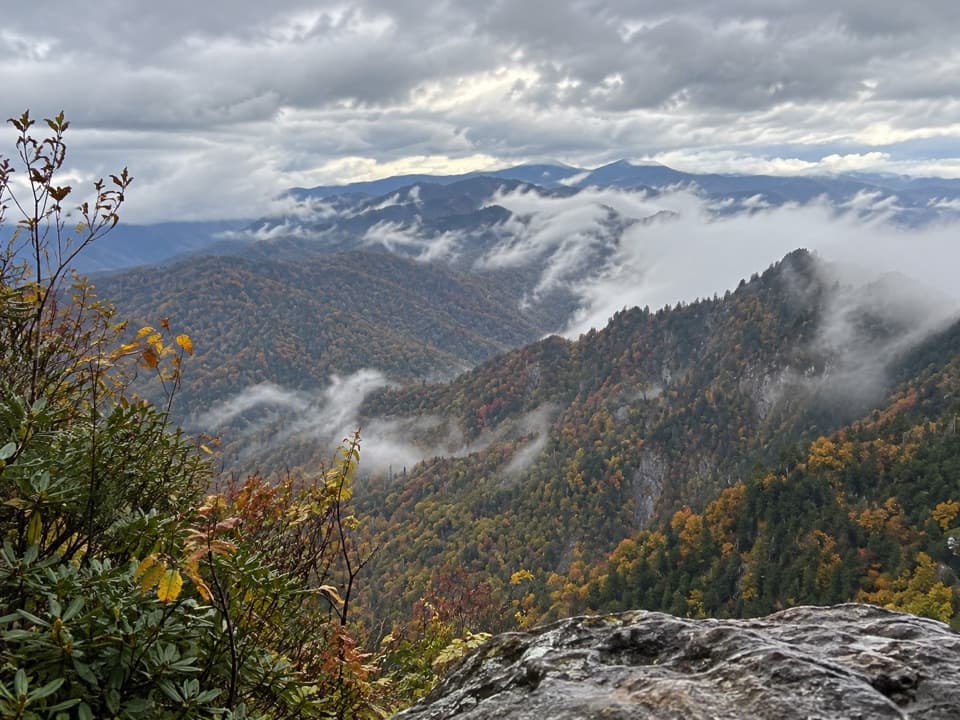 22The Jump Off TrailClimb a rough AT approach to a cliffside Smokies panorama
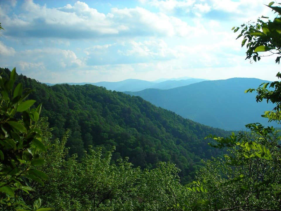 23Bullhead Trail to Mount Le ConteA long, steep route to Le Conte with exposed ridge views.
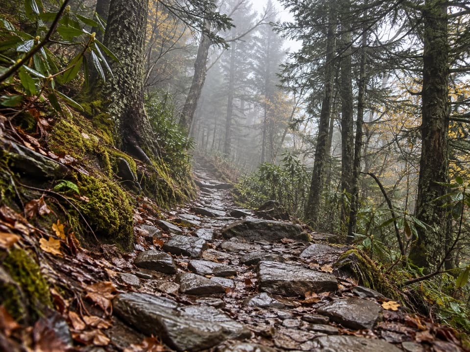 24Mount Le Conte via Appalachian Trail and Boulevard TrailA demanding ridge traverse to Le Conte via the Appalachian Trail.
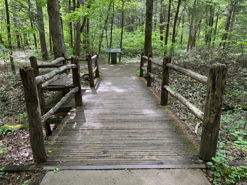 25Sugarlands Valley Nature TrailA flat forest loop with chimneys, streamside views, and an easy pace.26Mount Le Conte via Rainbow Falls TrailRainbow Falls is the first milestone on this long Le Conte climb.
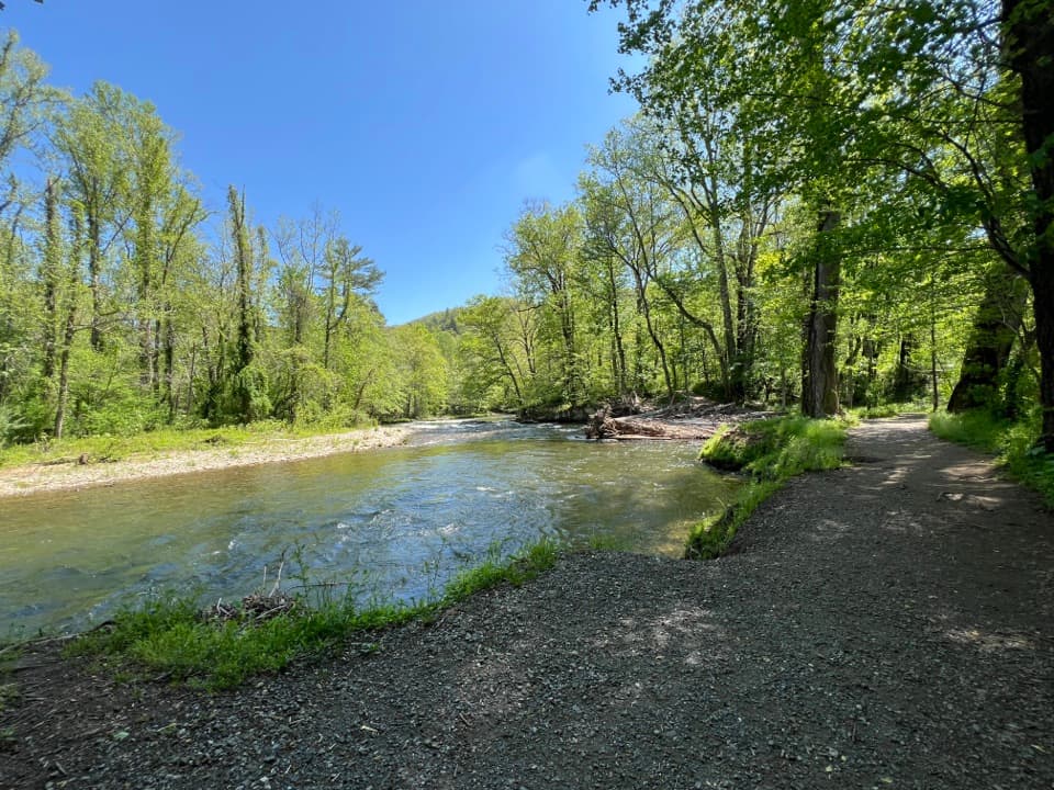 27Oconaluftee River TrailA gentle river stroll starts beside an open-air farm museum.
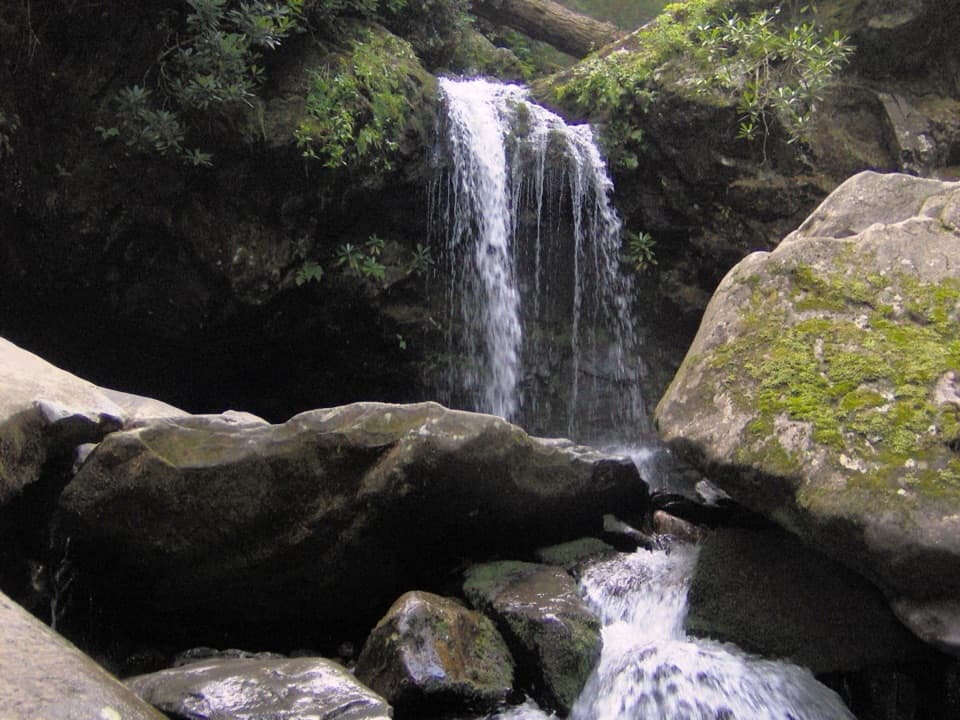 28Trillium Gap Trail to Mount Le ConteA long climb to Le Conte, with Grotto Falls along the way.
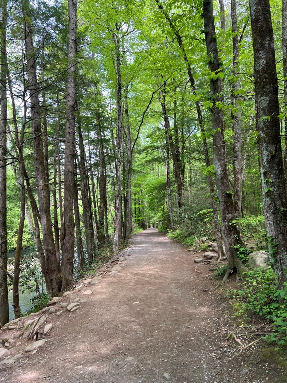 29Gatlinburg TrailA gentle river walk where dogs and bikes are allowed.
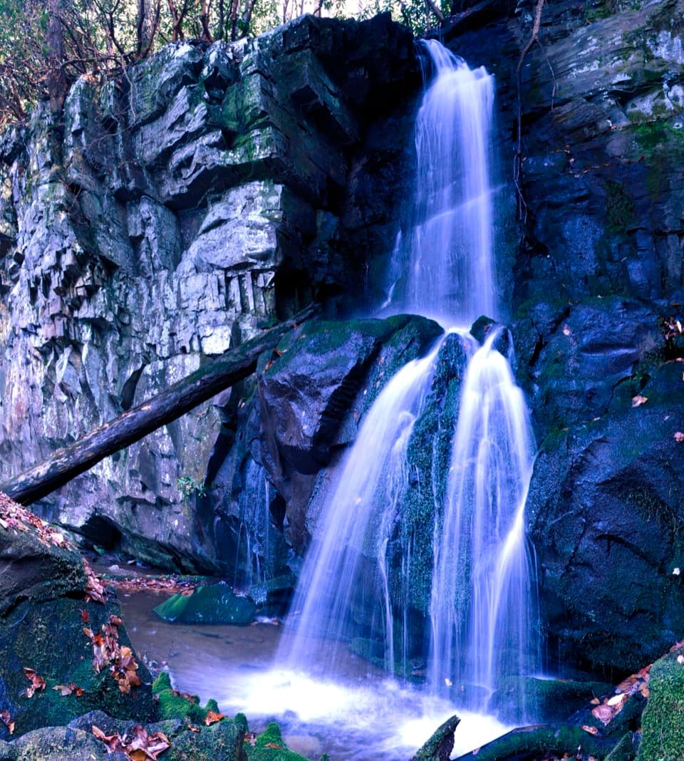 30Baskins Creek Trail to Baskins Creek FallsA waterfall walk with a steep finish and a climb back.
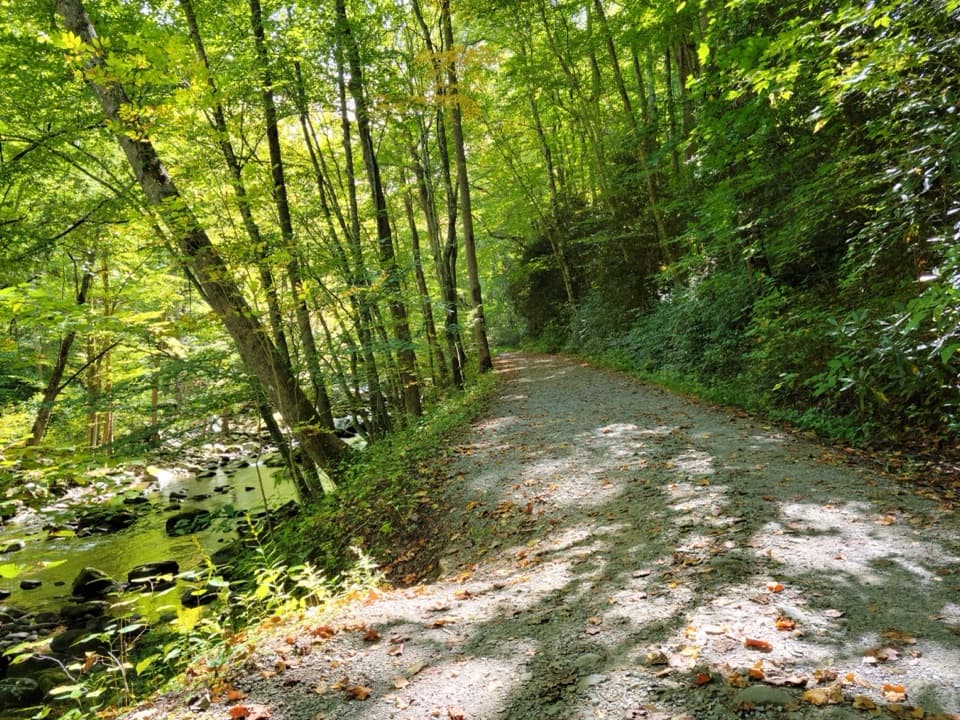 31Little River TrailFollow the old rail grade beside the river to Campsite 30.
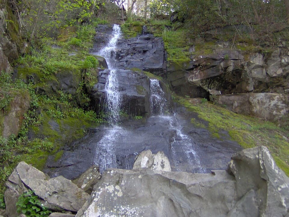 32Gabes Mountain Trail to Hen Wallow FallsA rooty 4.3-mile out-and-back ends at a steep 90-foot waterfall.
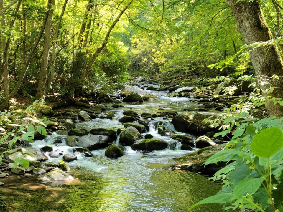 33Little River, Cucumber Gap, Jakes Creek LoopRiver views, wildflowers, and Elkmont history on a varied loop.
 34Albright Grove Loop TrailOld-growth trees reward the long approach to Albright Grove.
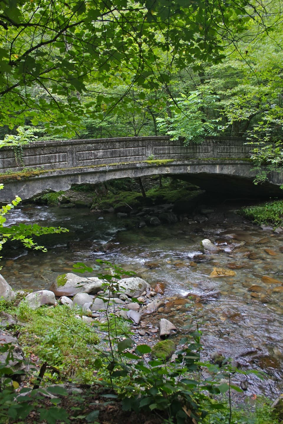 35Smokemont Loop TrailCreekside approach, steep ridge climb, and Smokemont history.
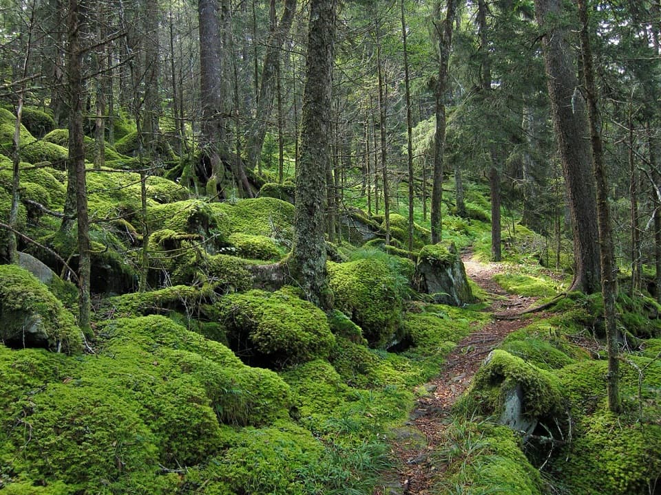 36Baxter Creek TrailA steep Big Creek climb to a 1935 summit fire tower.
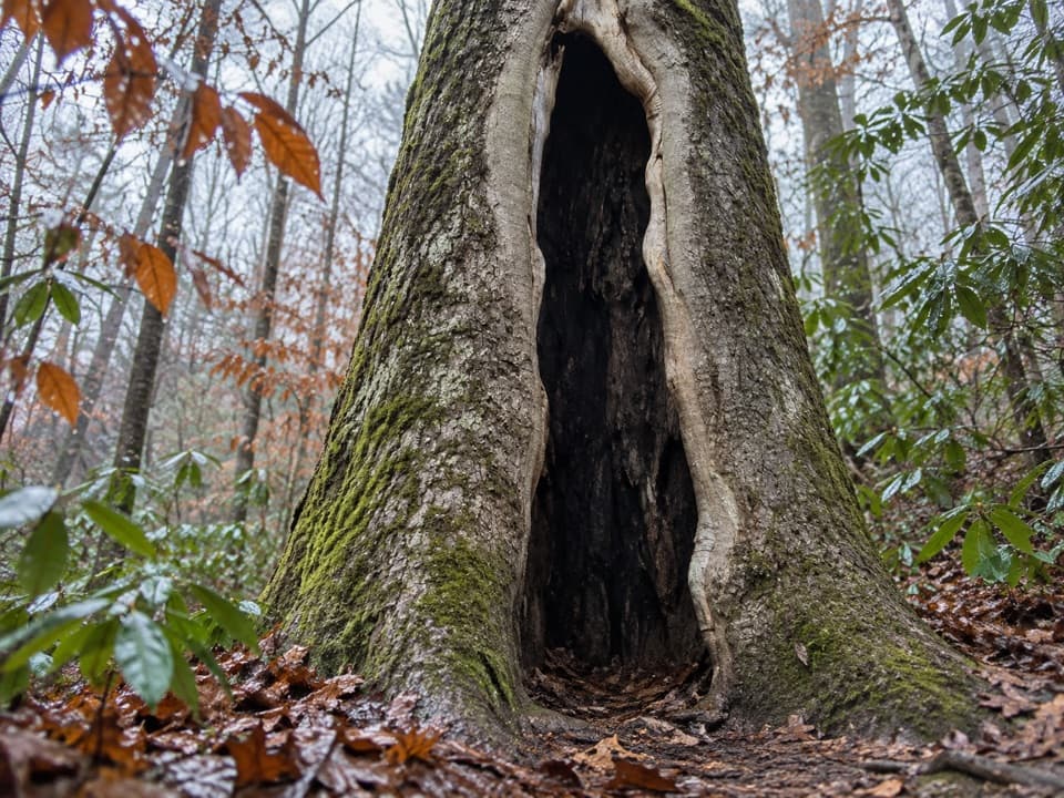 37Boogerman Loop TrailCreek crossings, giant old-growth trees, and mountain homestead traces
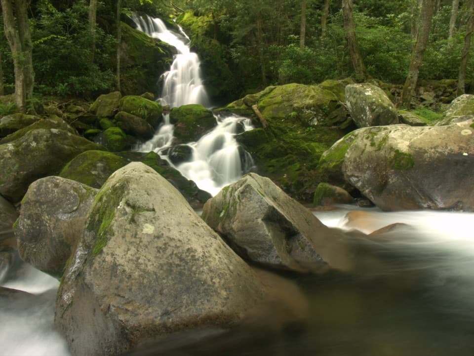 38Big Creek Trail to Mouse Creek FallsAn old railroad grade reaches an unmarked pool and 41-foot falls.
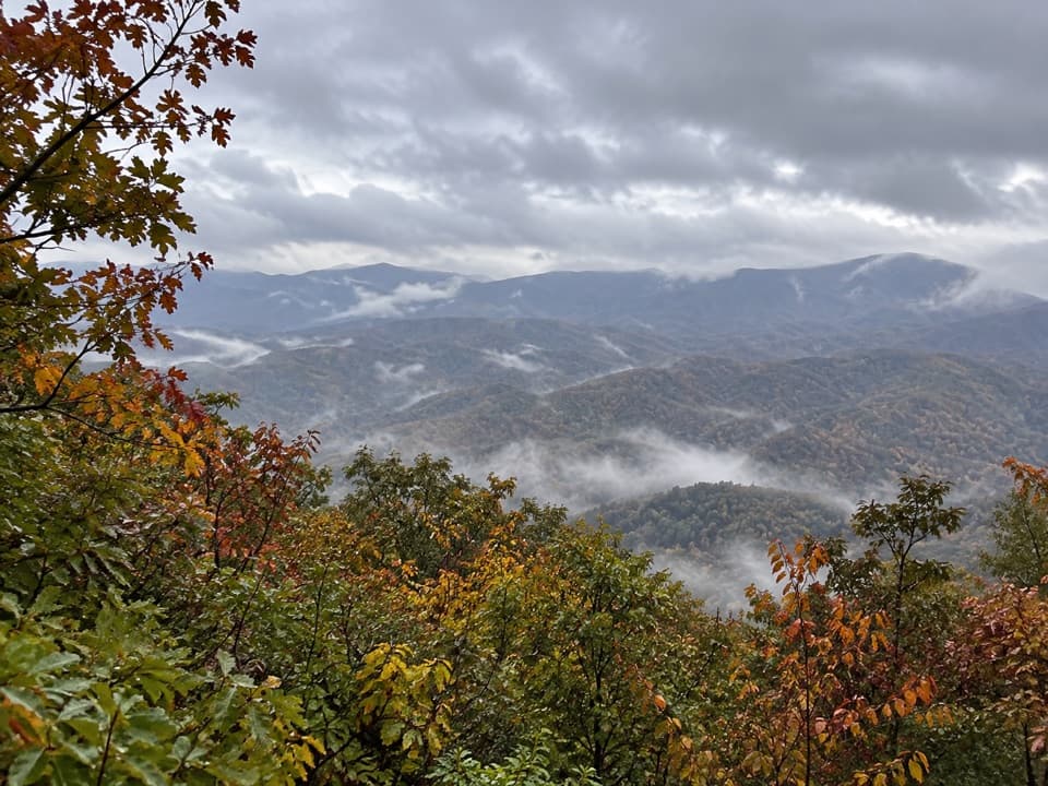 39Look Rock Tower TrailA short, paved climb to a tower with Smoky Mountain views.
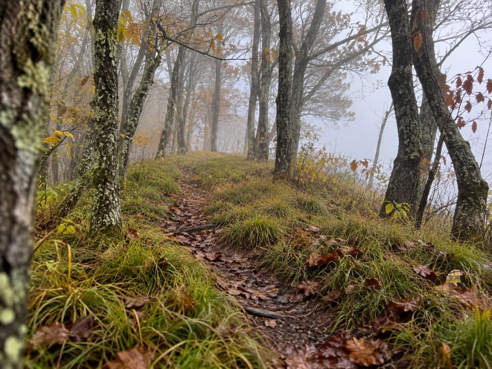 40Hemphill Bald TrailA long out-and-back to a grassy bald with mountain views.
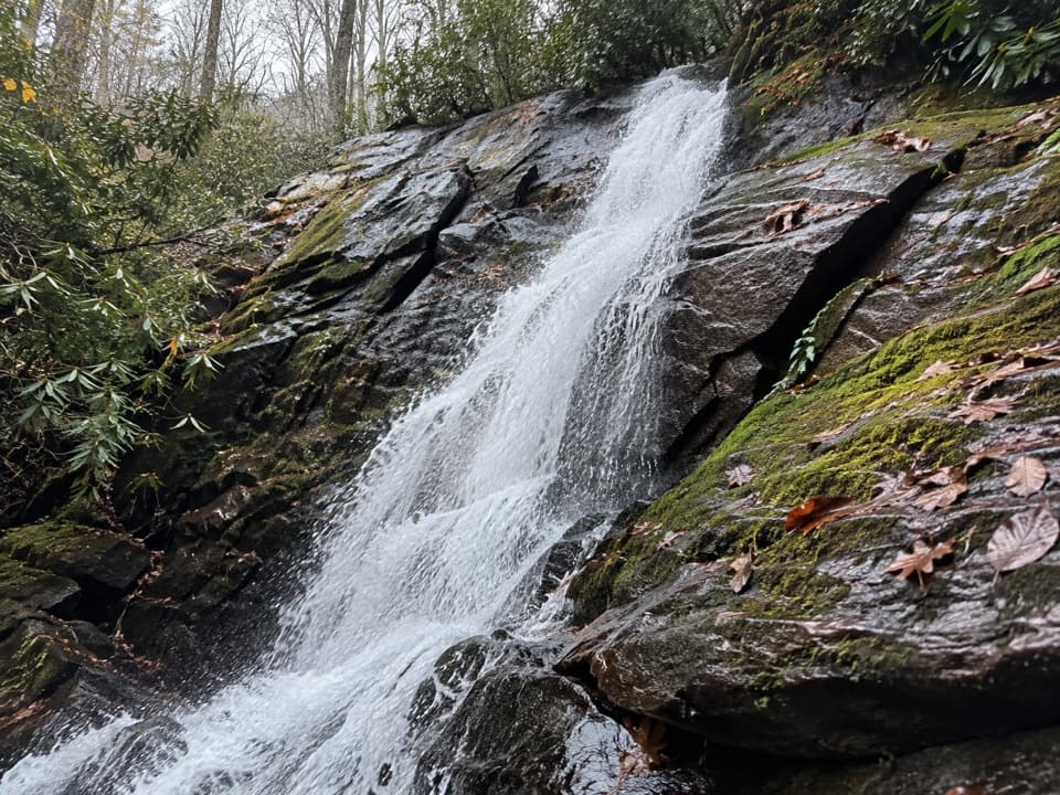 41Juney Whank Falls TrailA short loop reaches an 80-foot cascade and crosses its wooden footbridge.
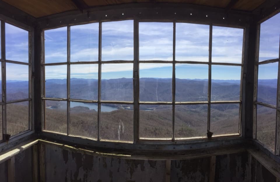 42Shuckstack Fire Tower TrailA steep Appalachian Trail climb ends at a tower above Fontana Lake
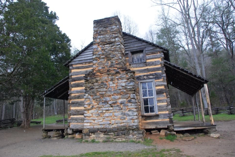 43Rich Mountain Loop TrailAn 8.5-mile loop with a cove view and a waterfall finish
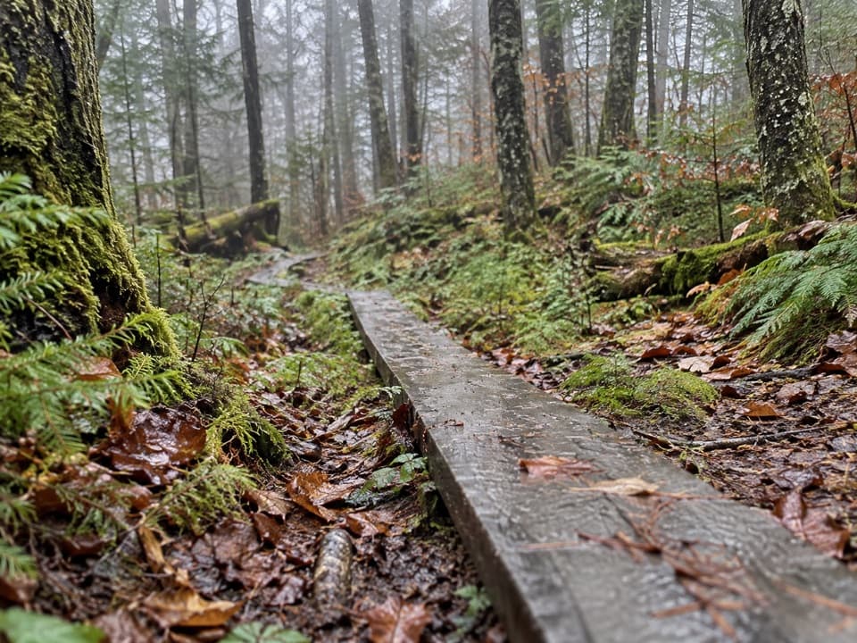 44Spruce-Fir Nature TrailA short, shaded loop through the Smokies' spruce-fir woods.
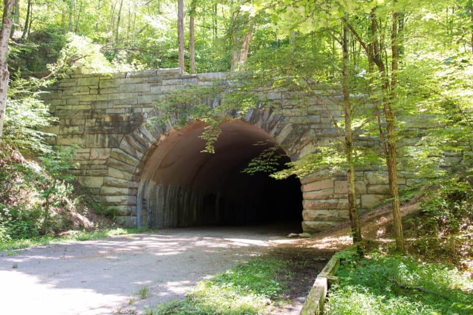 45Lakeshore TrailA 34-mile backcountry crossing through the woods above Fontana Lake
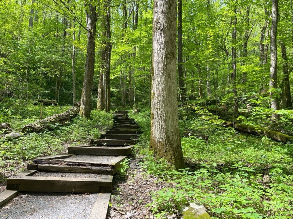 46Cove Hardwood Nature TrailA shady hardwood loop with 40 steps up front.
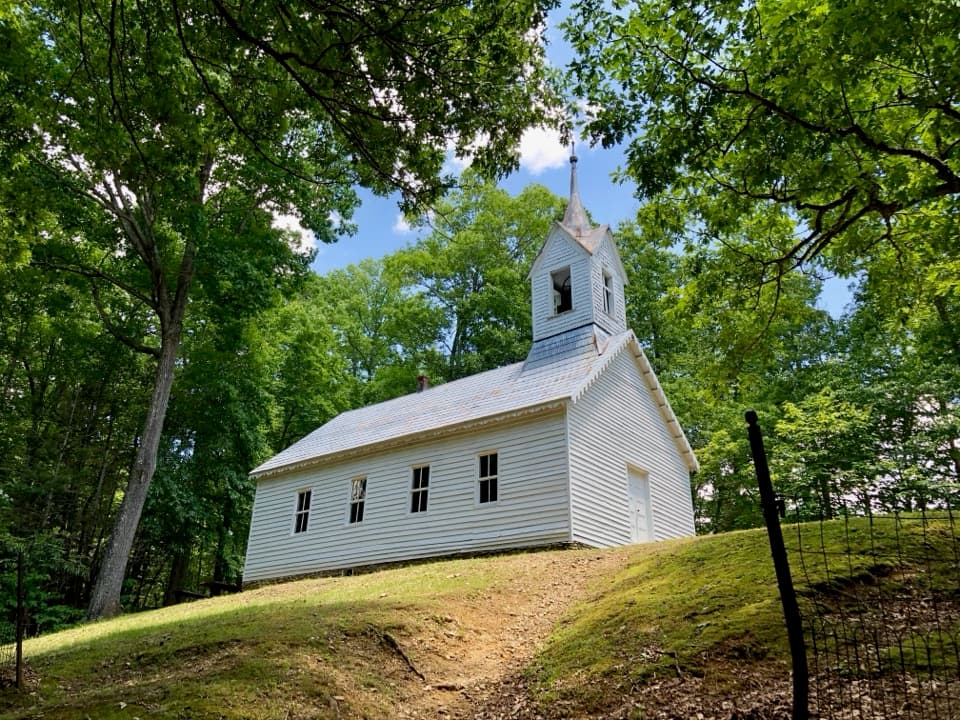 47Little Cataloochee TrailA long, rolling hike to cabins, a church, and mountain history
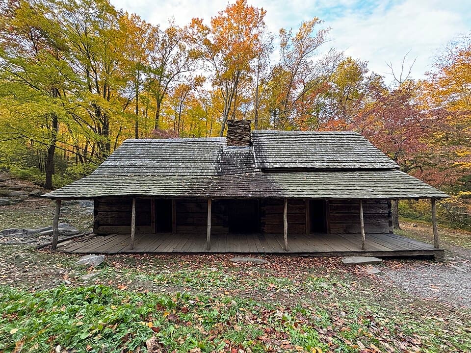 48Noah “Bud” Ogle Place Nature TrailA short farmstead loop to a cabin, mill and log barn.
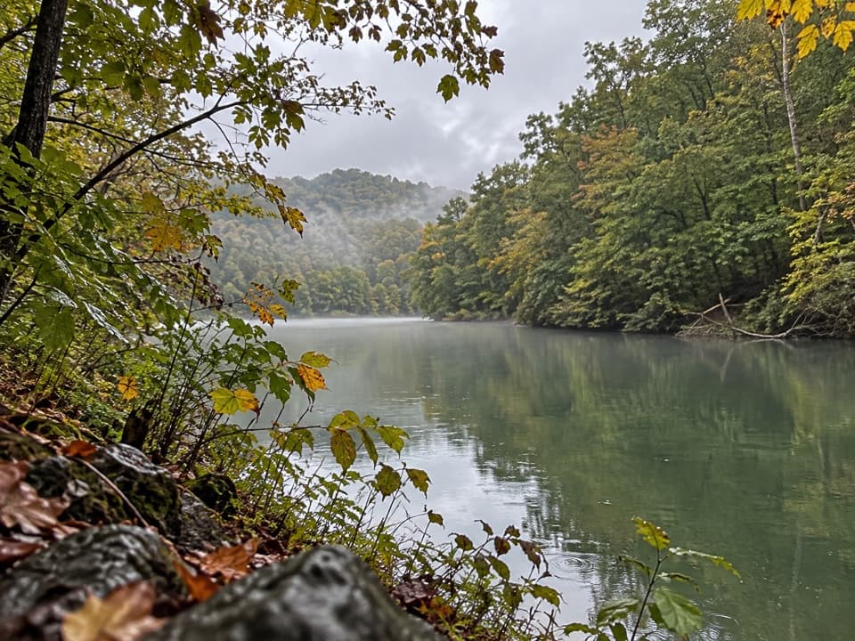 49Goldmine Loop TrailA loop through old homesites to a Fontana Lake cove.
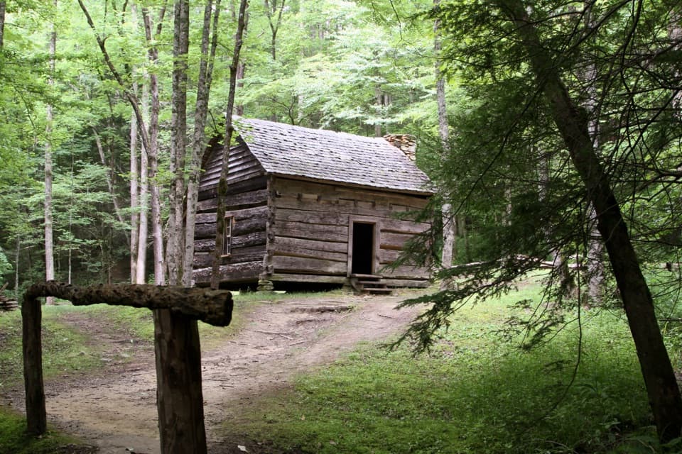 50Fighting Creek Nature TrailA short creek loop passes an 1860s mountain cabin.
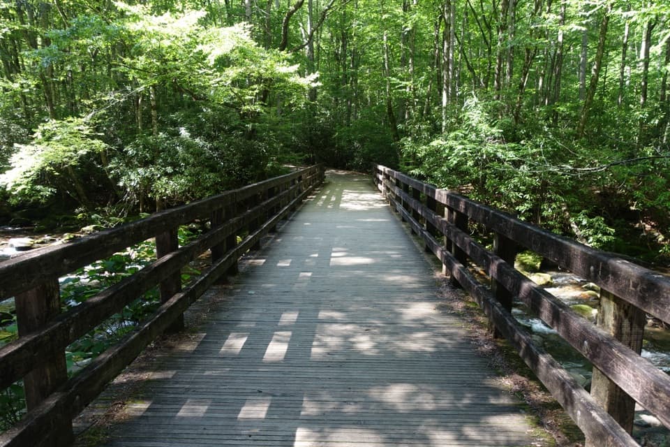 51Kephart Prong TrailFollow the stream to 1930s CCC remains and Kephart Shelter.
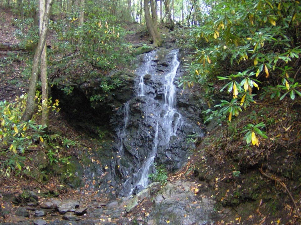 52Cataract Falls TrailA quick creekside walk leads to a narrow, 40-foot waterfall.
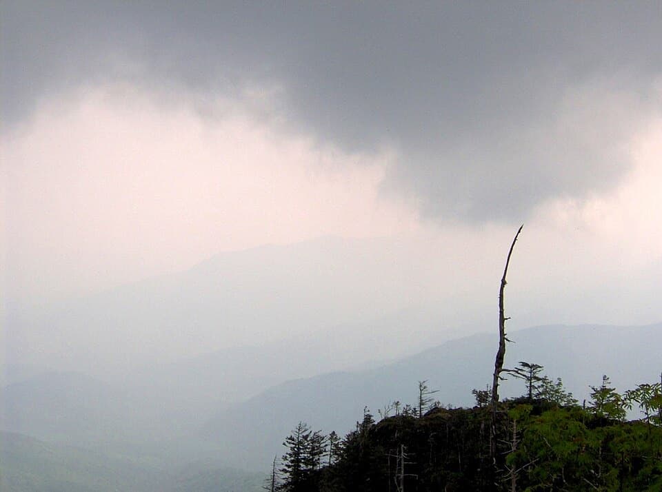 53Myrtle Point TrailA sunrise detour reached only after the climb to Mount Le Conte
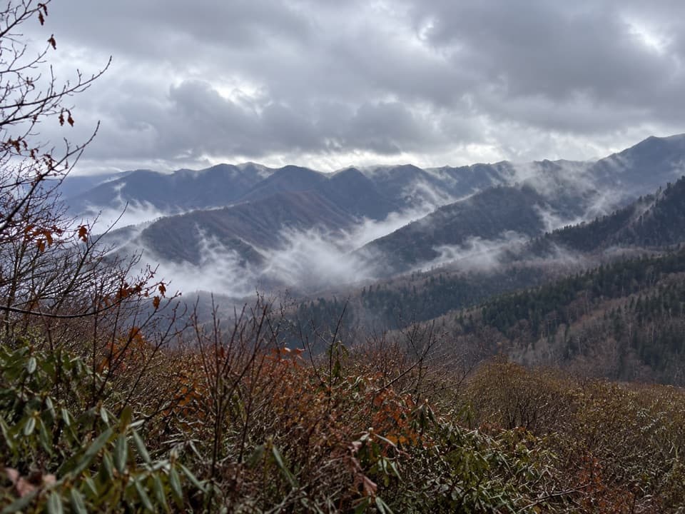 54Brushy Mountain Trail from GreenbrierA hard Greenbrier climb to two open summit views
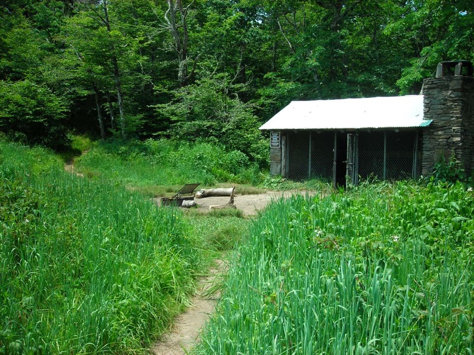 55Silers Bald TrailA rocky ridge walk to a clearing with views over Miry Ridge.
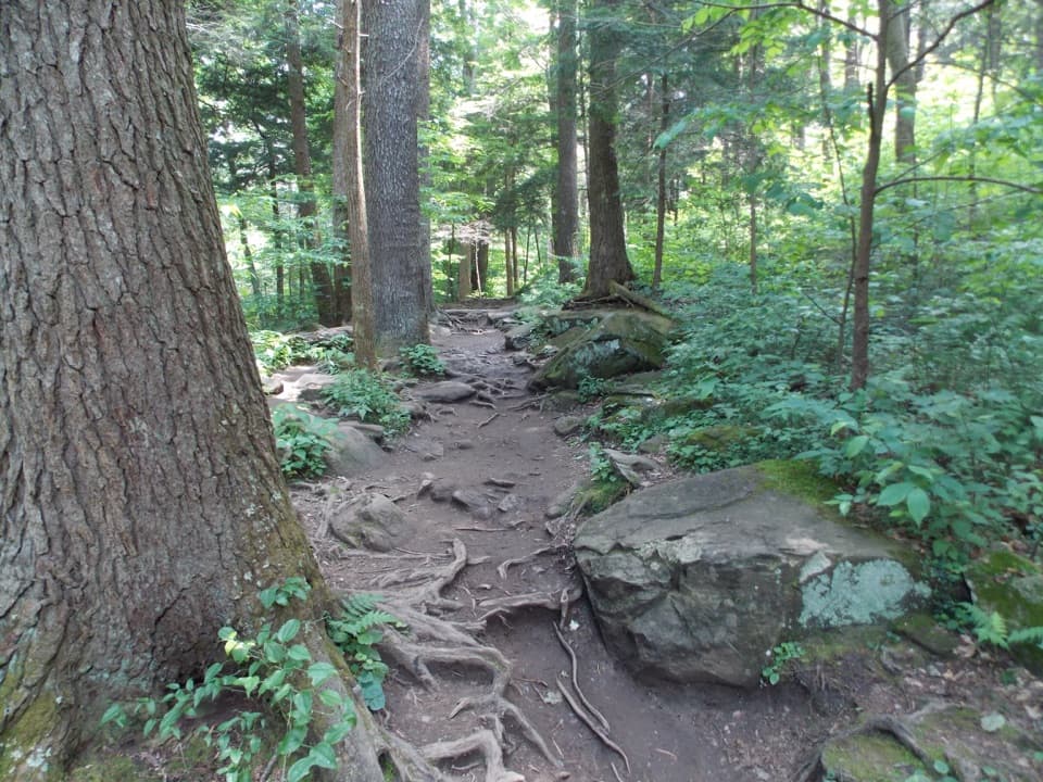 56Brushy Mountain via Trillium Gap TrailA waterfall walk climbs to a heath bald with two views.
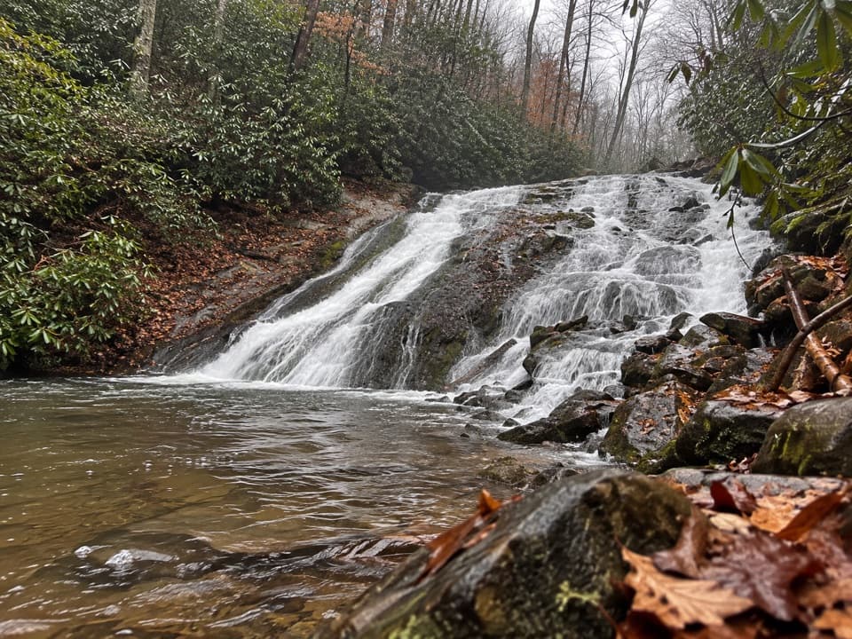 57Indian Creek TrailA 3.6-mile route climbs past Indian Creek Falls to Sunkota Ridge.58Spence Field and Russell Field LoopA strenuous loop from Anthony Creek to two high Smokies meadows.59Deep Creek Loop TrailA creekside loop links two falls with a steady half-mile climb.
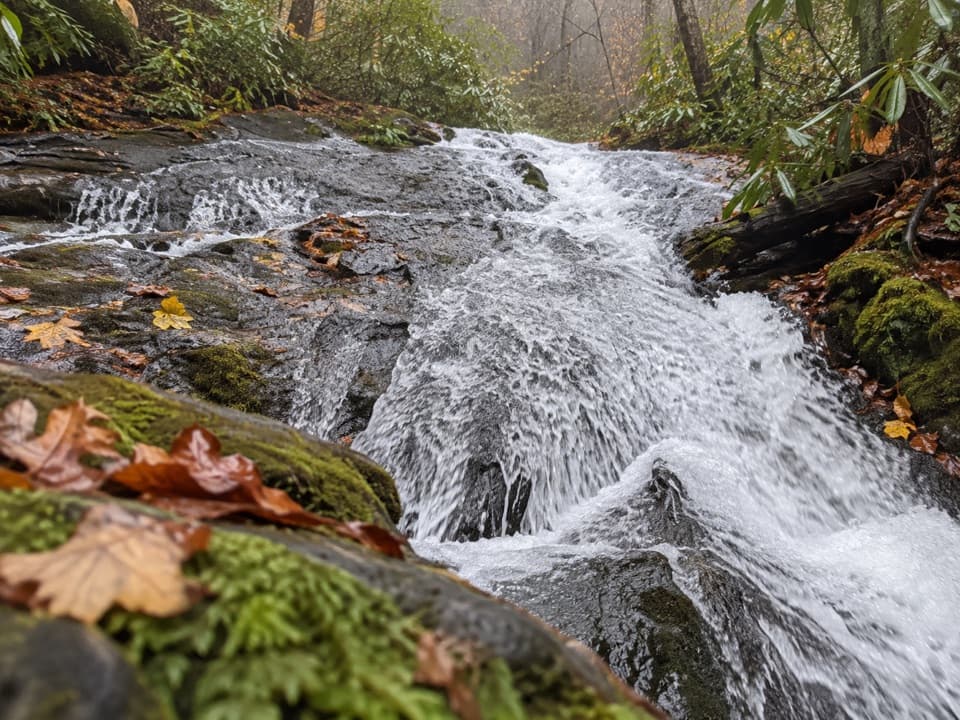 60Chasteen Creek Trail to CascadeA streamside walk ends at a modest cascade over smooth bedrock.61Lynn Camp Prong Cascades TrailAn old railroad bed follows a mountain stream to stepped cascades.62Benton MacKaye TrailA 93-mile Smokies crossing from Fontana Dam to Big Creek.
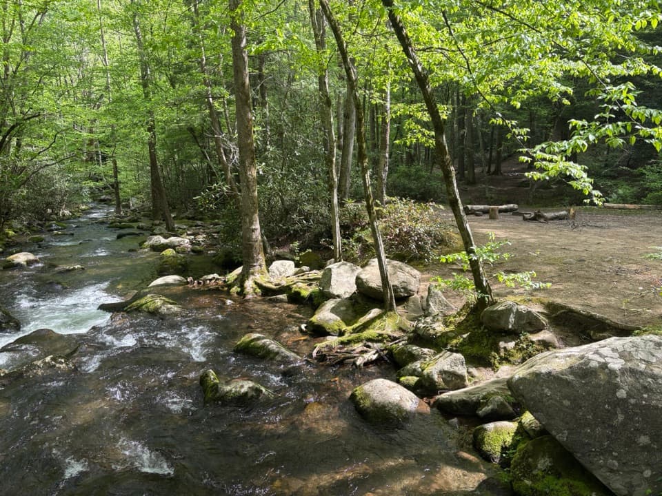 63West Prong TrailA steady forest climb to a riverside backcountry campsite.
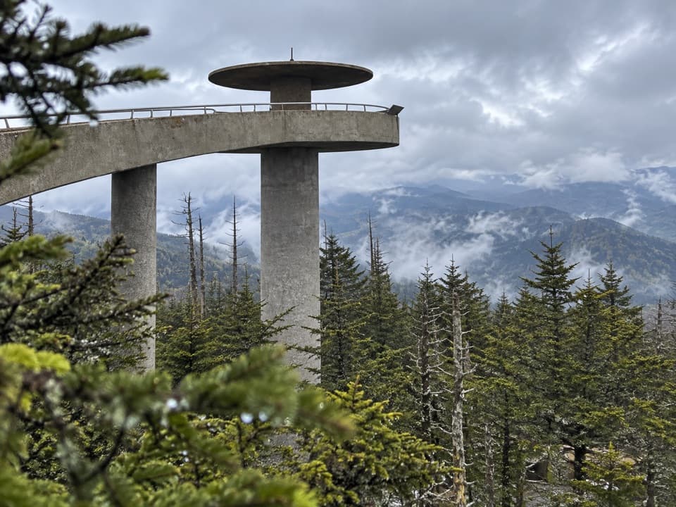 64Mountains-to-Sea Trail: Kuwohi to Waterrock KnobA 46.8-mile backpack from Kuwohi to Waterrock Knob
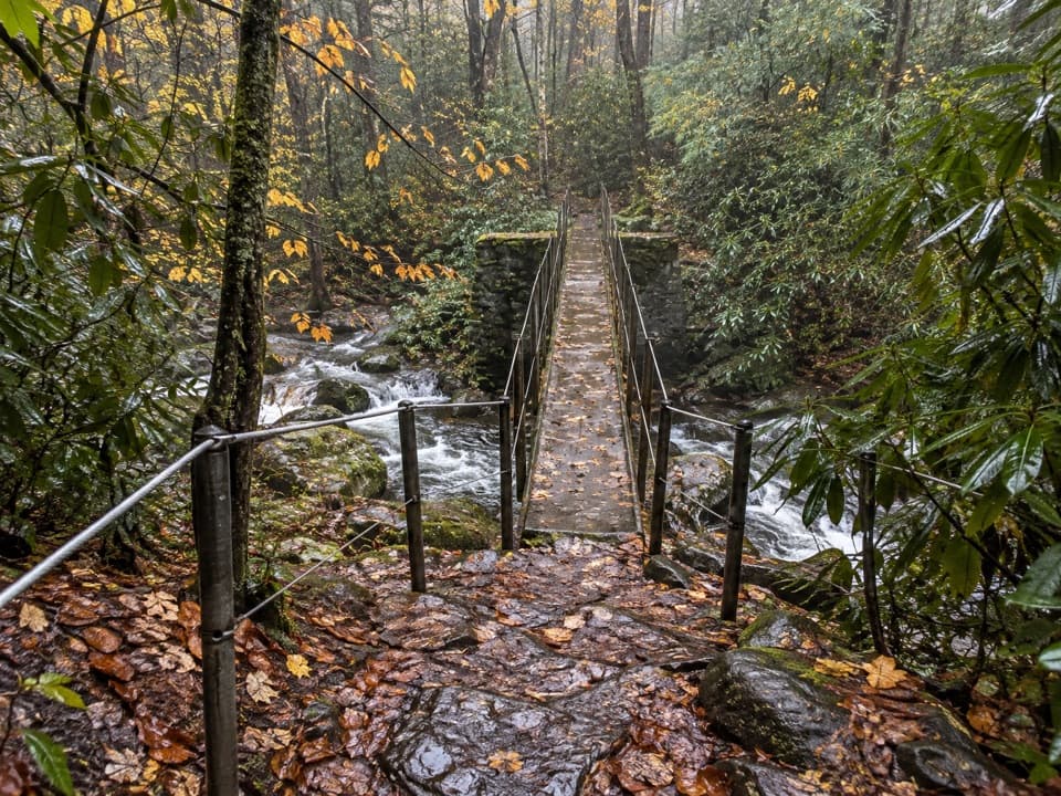 65Thunderhead Prong Quiet WalkwayA shaded creek walk with an old footbridge from Tremont’s logging days.
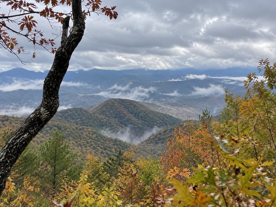 66Lonesome Pine Overlook TrailA steep ridge climb to a rocky overlook above Bryson City.
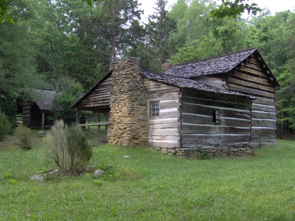 67Little Brier Gap TrailA forest walk to a schoolhouse and Walker Sisters homestead
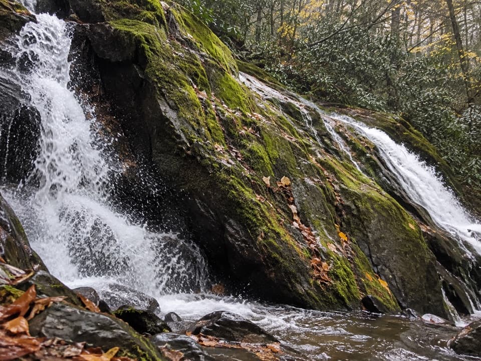 68Meigs Creek TrailCreek crossings build to a waterfall, then the trail keeps going.
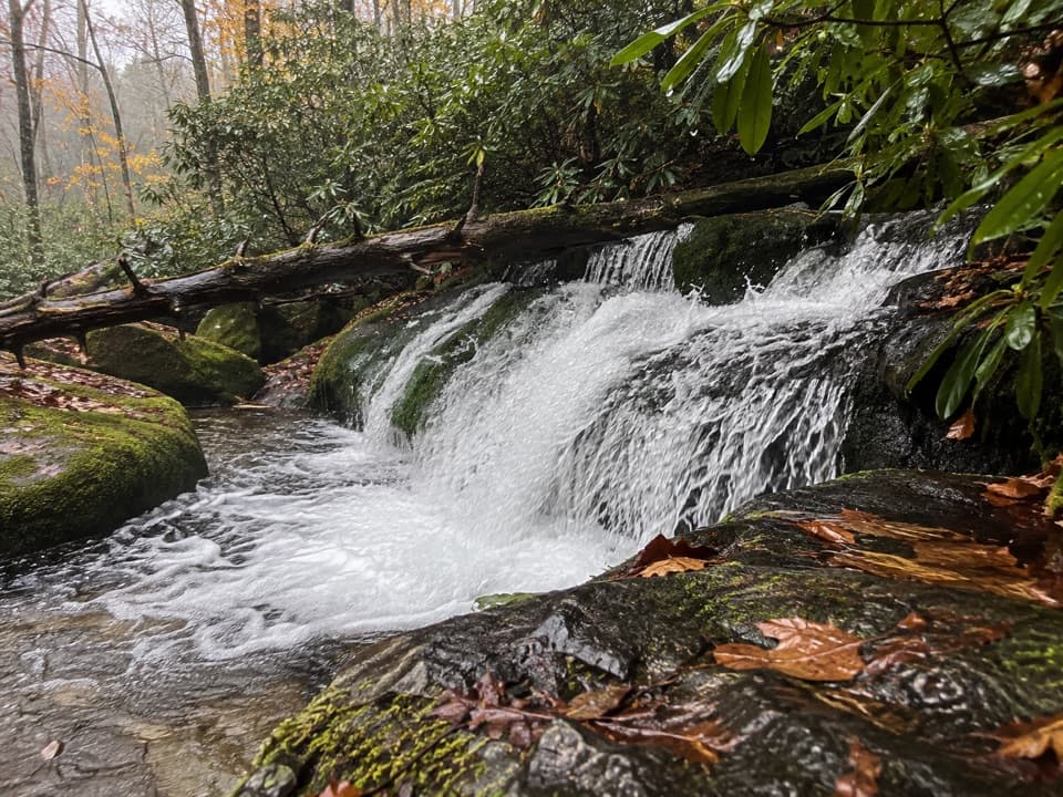 69Twentymile Loop TrailA forest loop with mossy cascades, log bridges, and a waterfall spur.
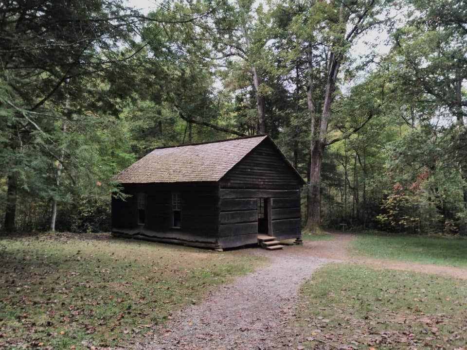 70Metcalf Bottoms TrailA short forest walk to a one-room Smokies schoolhouse.
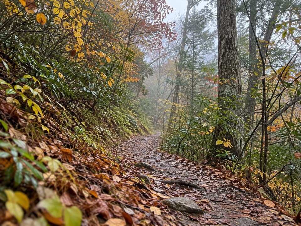 71Lumber Ridge TrailA steady forest climb to a backcountry junction and back.
 72Cosby Nature TrailA wooded creek loop with log bridges and rocky crossings.
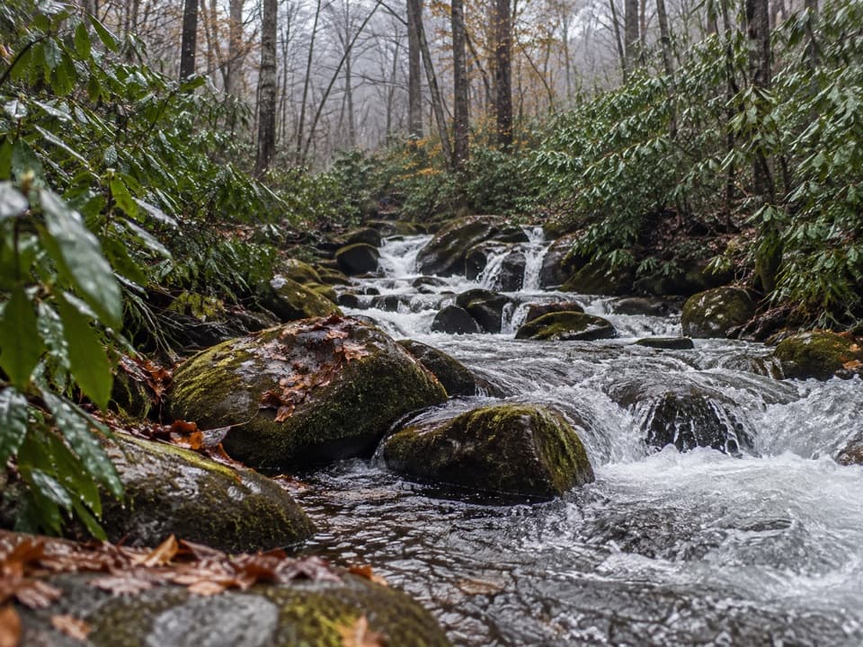 73Jakes Creek TrailA long climb from Elkmont’s old cottages to Jakes Gap.
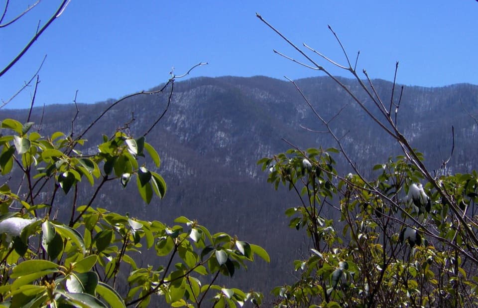 74Curry Mountain TrailQuiet forest miles lead to brief mountain views and a cemetery spur.
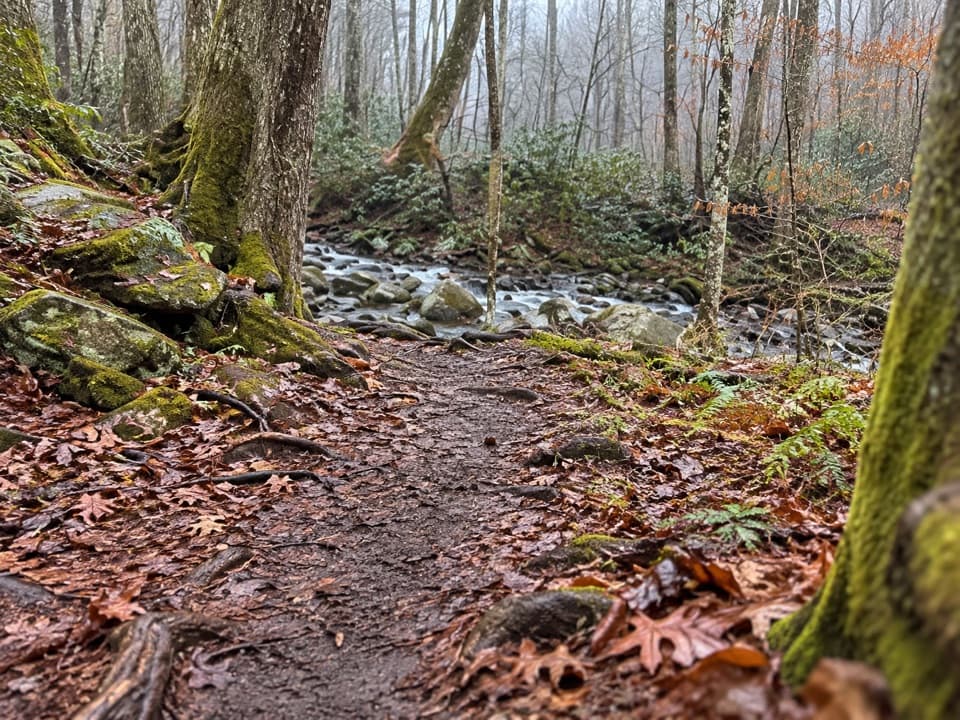 75Elkmont Nature TrailA short, easy loop with two bridges over Mids Branch.
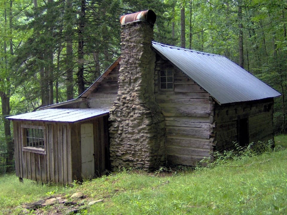 76Avent Cabin TrailA 2.6-mile out-and-back to Mayna Treanor Avent’s cabin studio.
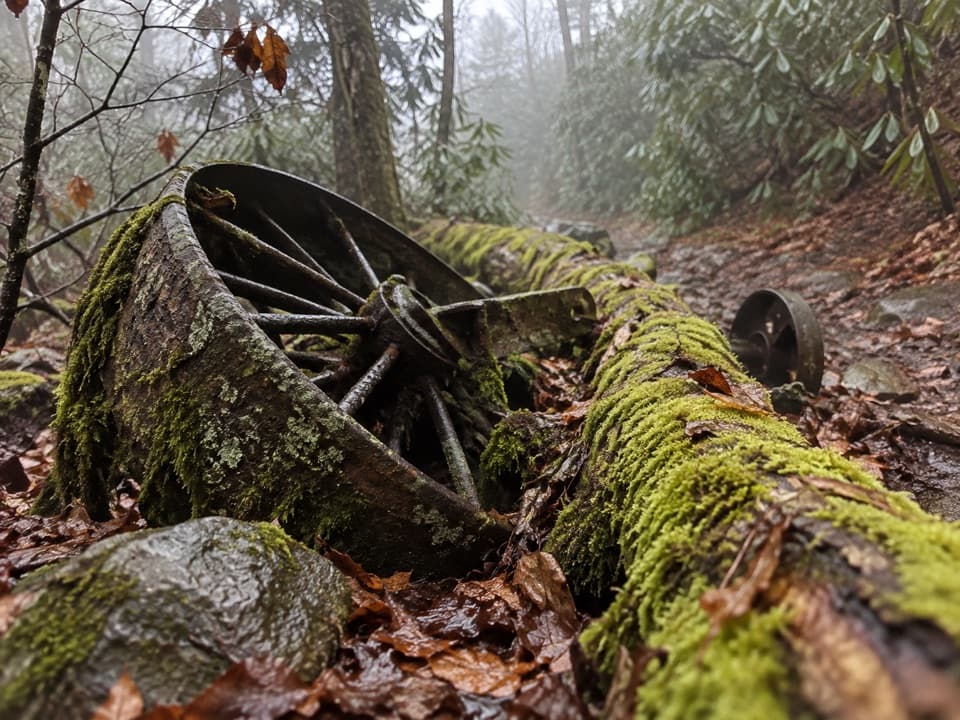 77Grapeyard Ridge TrailFive creek crossings and a rusting engine tucked in the woods.
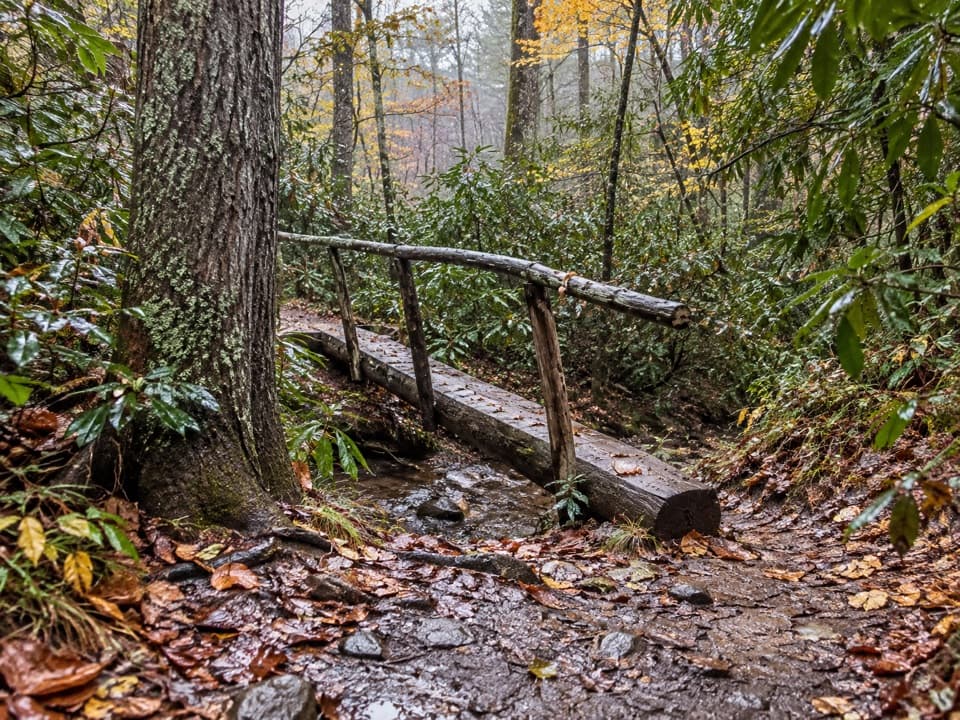 78Cades Cove Nature TrailA shaded sub-mile loop with a creek crossing.
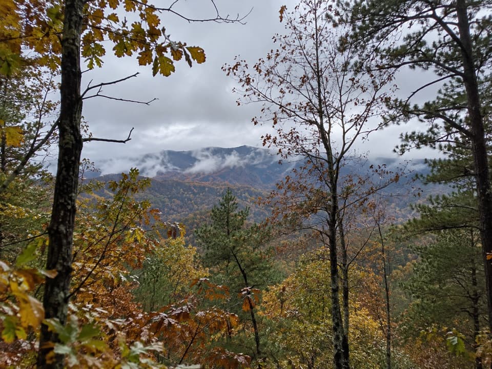 79Chestnut Top TrailSpring wildflowers and Smokies views reward a steady climb.
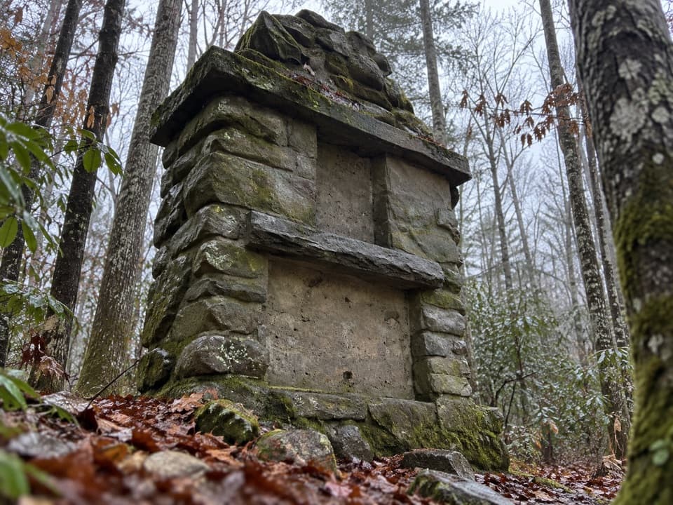 80Old Sugarlands TrailFollow an old road past CCC ruins and a pioneer cemetery.
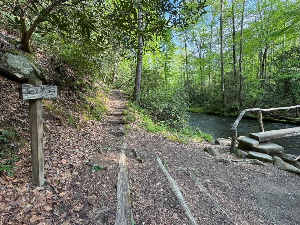 81Smokemont Nature TrailA short campground loop with creek crossings and a ridge view.
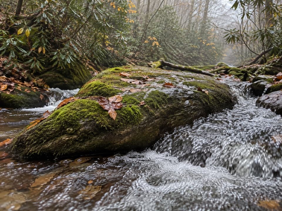 82Anthony Creek TrailA shaded creek climb to the Bote Mountain junction.
 83Maddron Bald TrailA long climb from old growth to a brushy high bald.
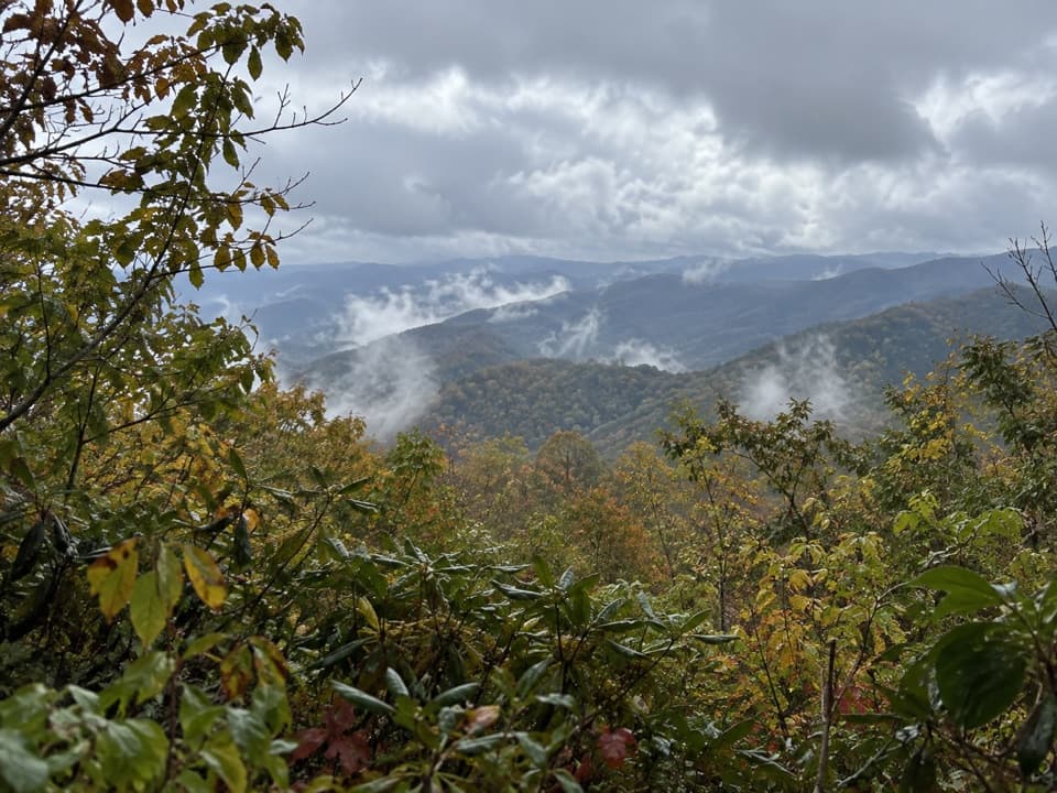 84Flat Creek TrailCreek crossings lead through forest to a picnic-area finish.
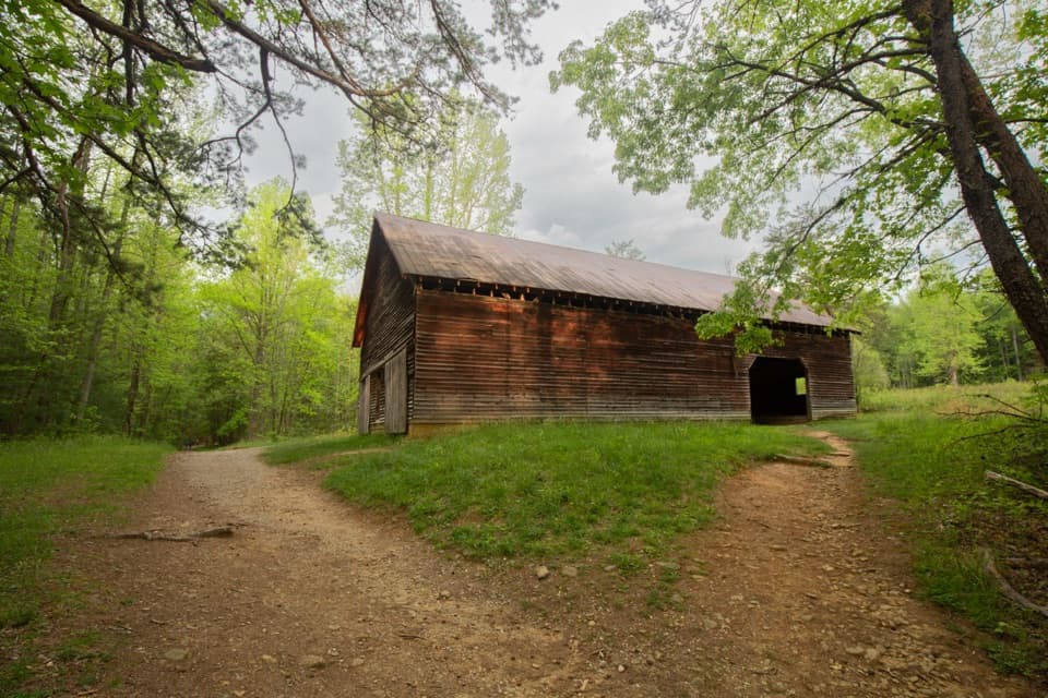 85Elijah Oliver Place TrailA short walk to the Oliver farmstead’s cabin and outbuildings.86Spence Field via Lead Cove TrailA steep, all-day climb to a historic meadow on the AT
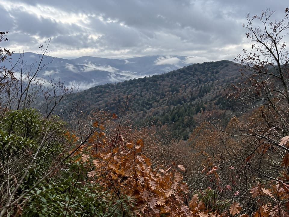 87Sutton Ridge Overlook TrailA short, steep spur reaches a north-facing view over Riding Fork.
 88Cataloochee Divide TrailA boundary ridge hike to Purchase Knob's science center and pioneer cabin.
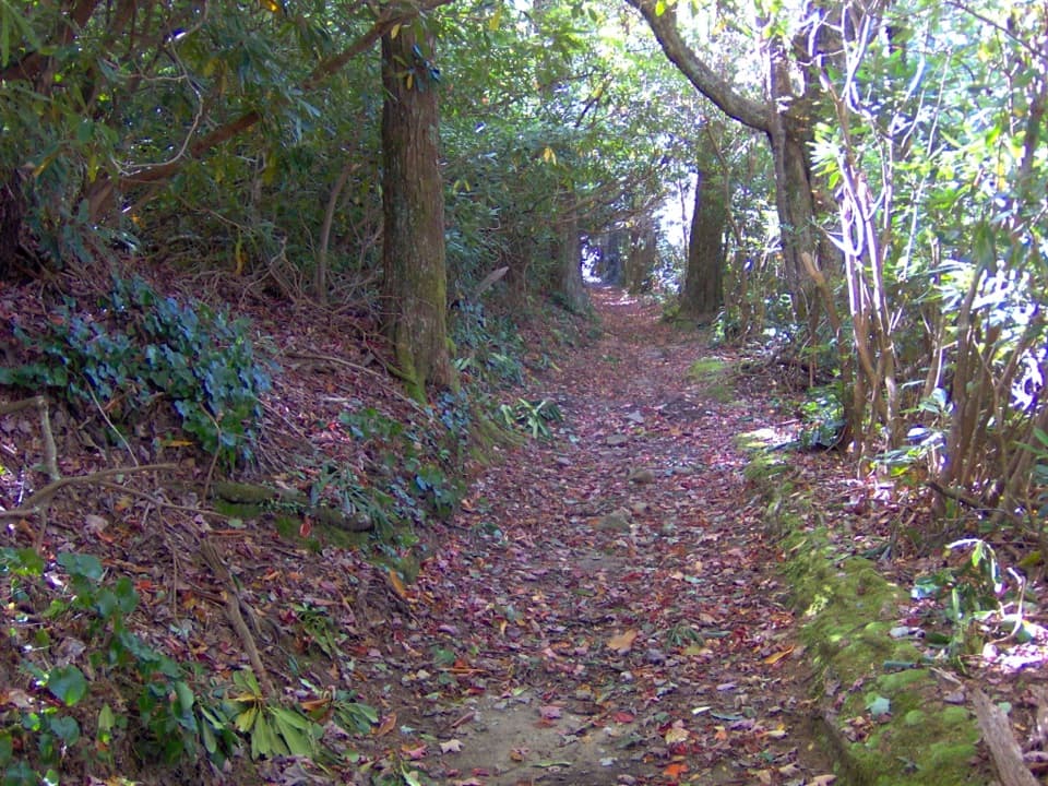 89Bote Mountain TrailA rocky 13.7-mile out-and-back to Spence Field’s high meadow.
 90Low Gap TrailCreek crossings and a steep climb to the remote Walnut Bottom junction.
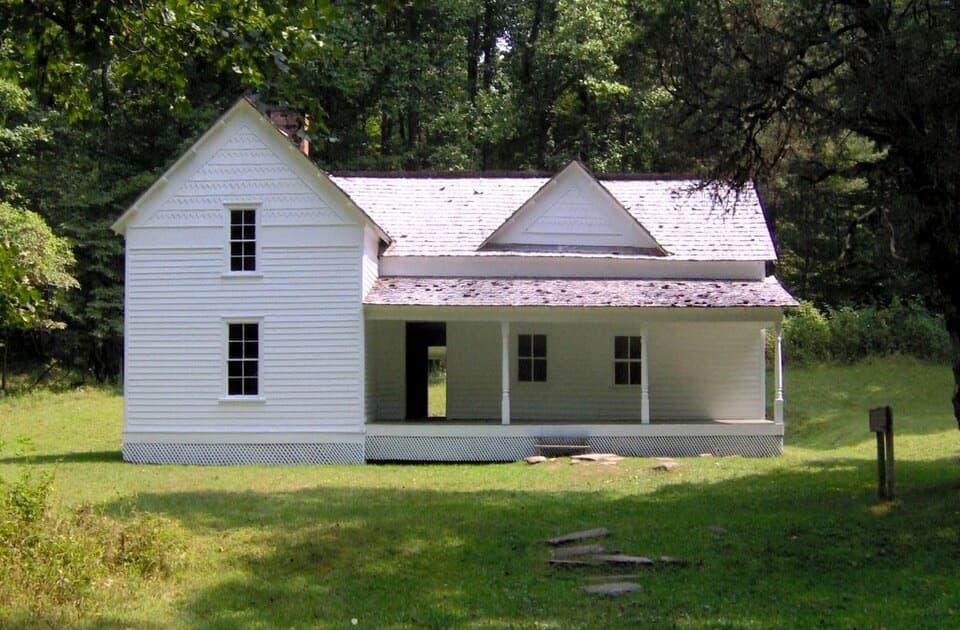 91Rough Fork Trail to Steve Woody HouseA gentle creekside walk to a historic Cataloochee homestead.
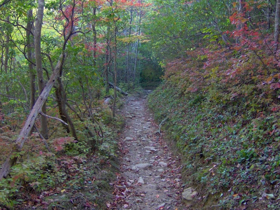 92Russell Field TrailA steep climb to a small meadow reclaimed by forest.
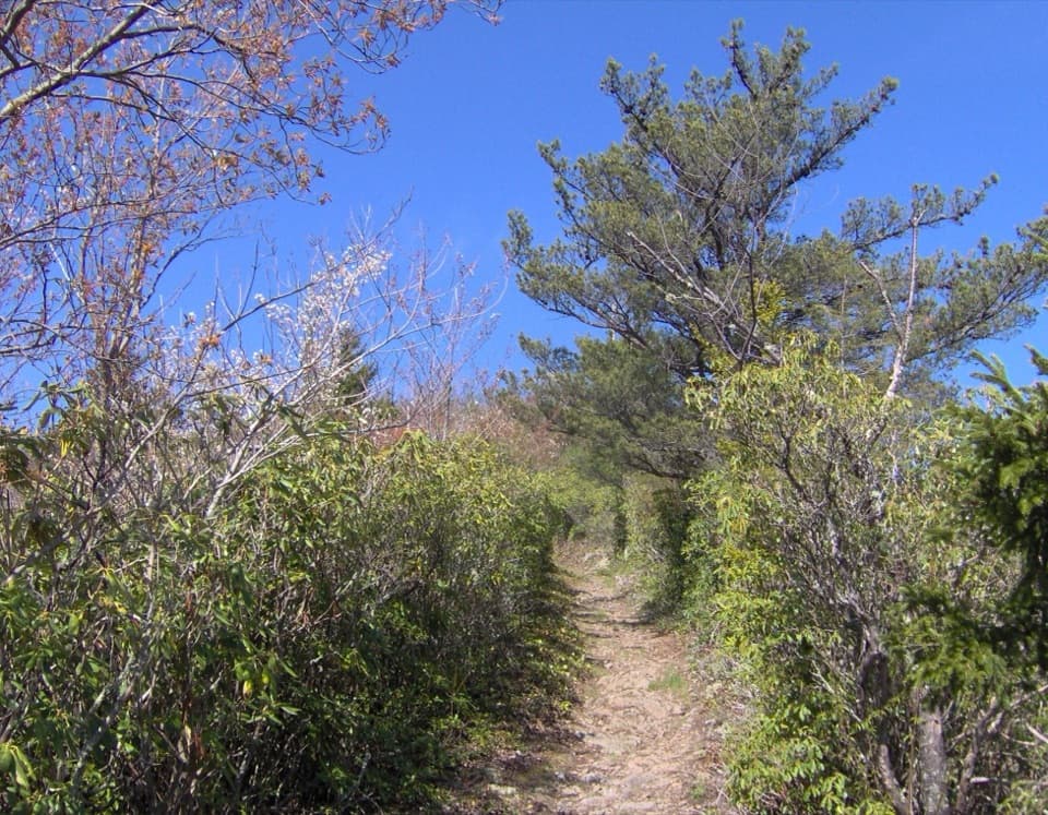 93Snake Den Ridge TrailA steep 10.6-mile out-and-back to the Appalachian Trail.
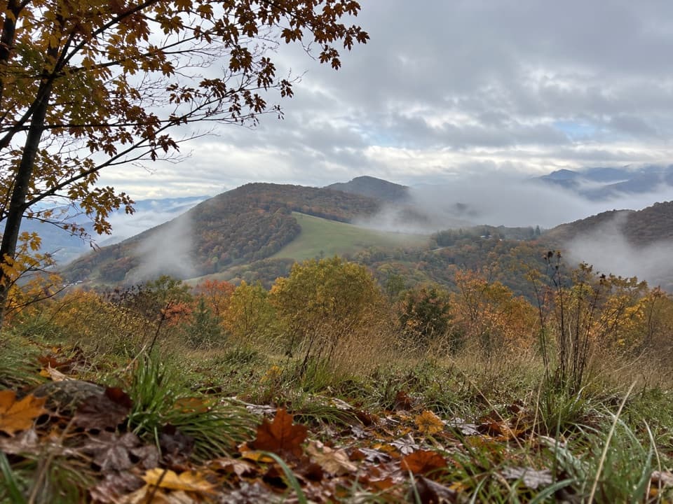 94Hemphill Bald Loop TrailLong loop to Hemphill Bald, back through old logging grades.95Low Gap, Appalachian Trail and Snake Den Ridge Loop TrailA full-day loop links Low Gap, the AT, and Snake Den Ridge.
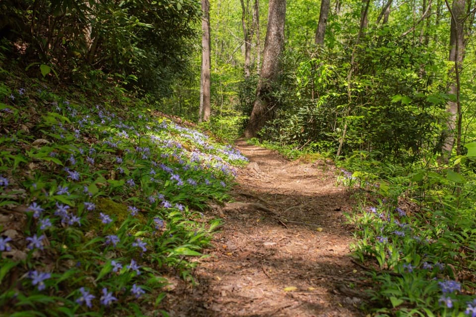 96Finley Cane, Bote Mountain and Lead Cove LoopA rhododendron tunnel leads to a rocky ridge with valley views.
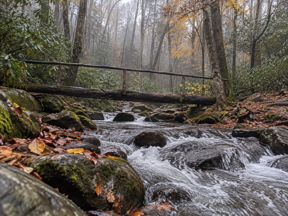 97Lower Mount Cammerer TrailA long day of creek crossings and ridge climbing to the AT.
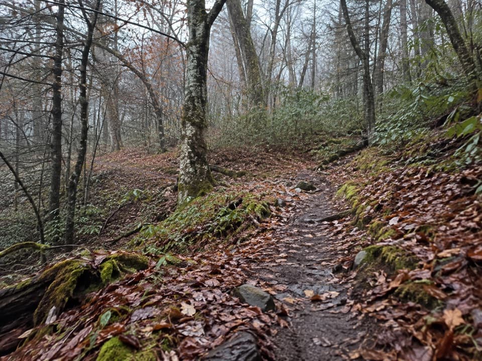 98Balsam Mountain Nature TrailA short nature walk through high-elevation campground woods.
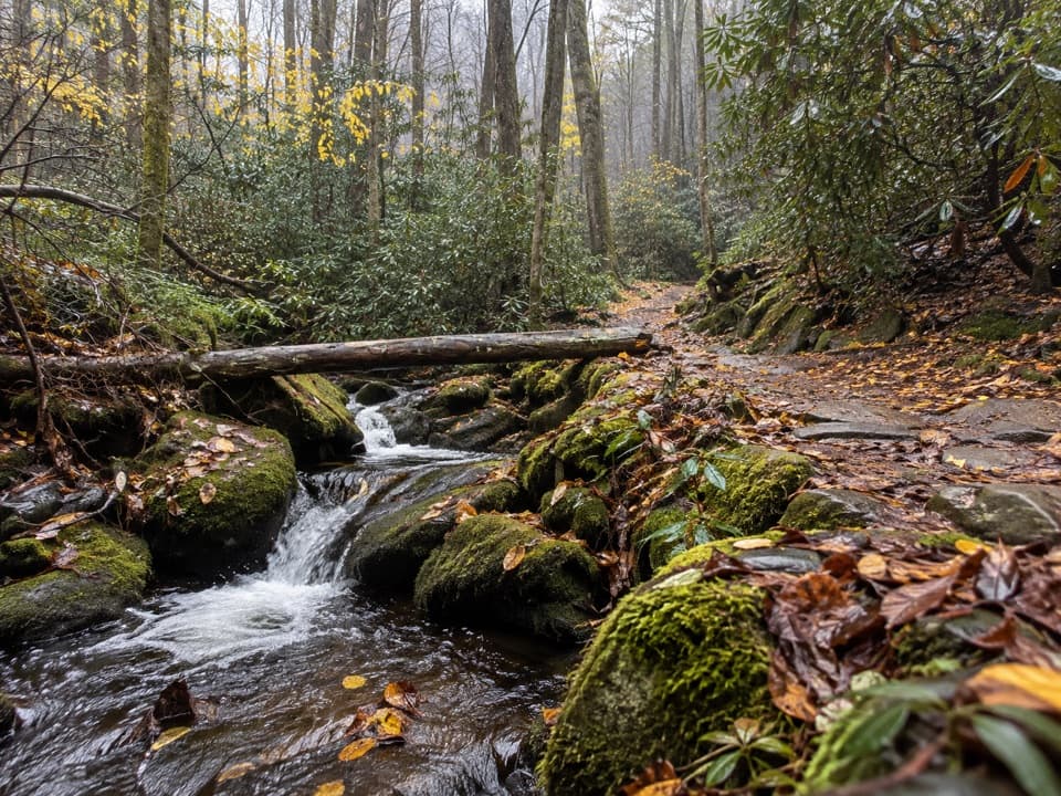 99Chestnut Branch TrailA steep 2.1-mile climb from Big Creek to the Appalachian Trail.
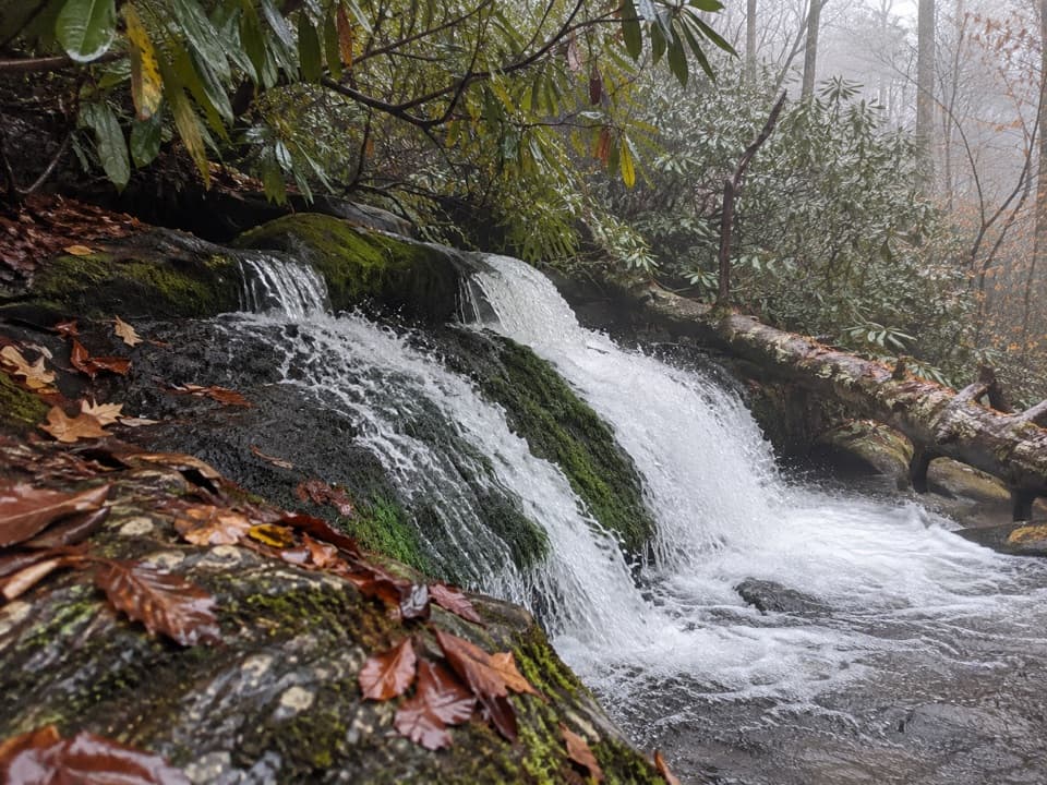 100Twentymile Cascade TrailA short creekside walk ends beside a mossy cascade.
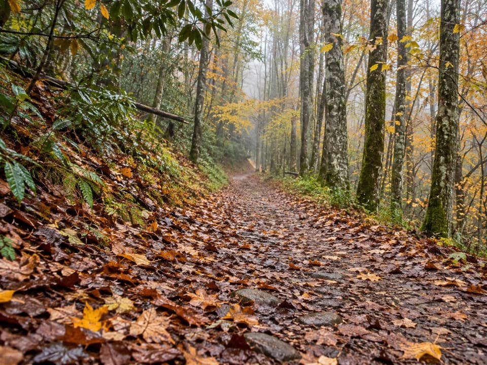 101Big Fork Ridge Loop TrailRugged 9.3-mile loop with creek crossings and a Balsam Mountain view.
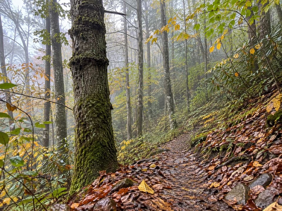 102Hyatt Ridge TrailA steep forest climb ends at a remote backcountry camp.
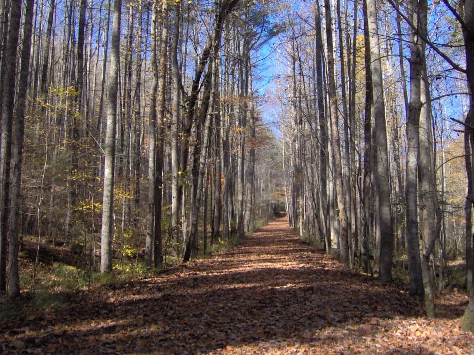 103Hazel Creek TrailA remote creek corridor past Proctor, climbing to Welch Ridge.
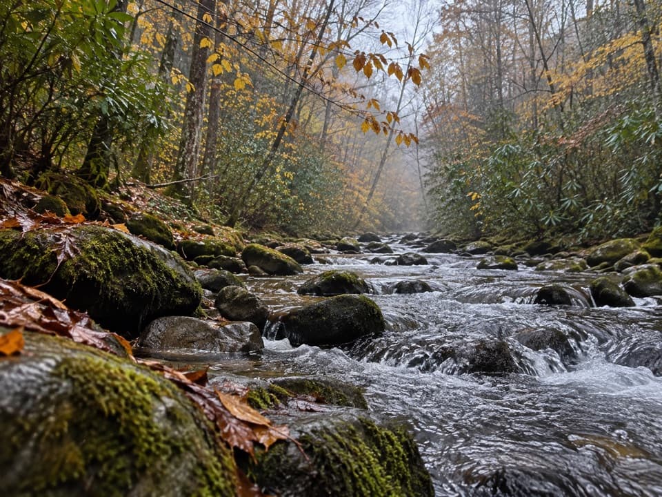 104Palmer Creek TrailA long creekside climb to the high mountain road
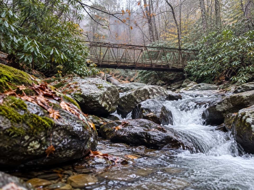 105Enloe Creek TrailSteel bridge and creek cascades reward a demanding backcountry traverse.
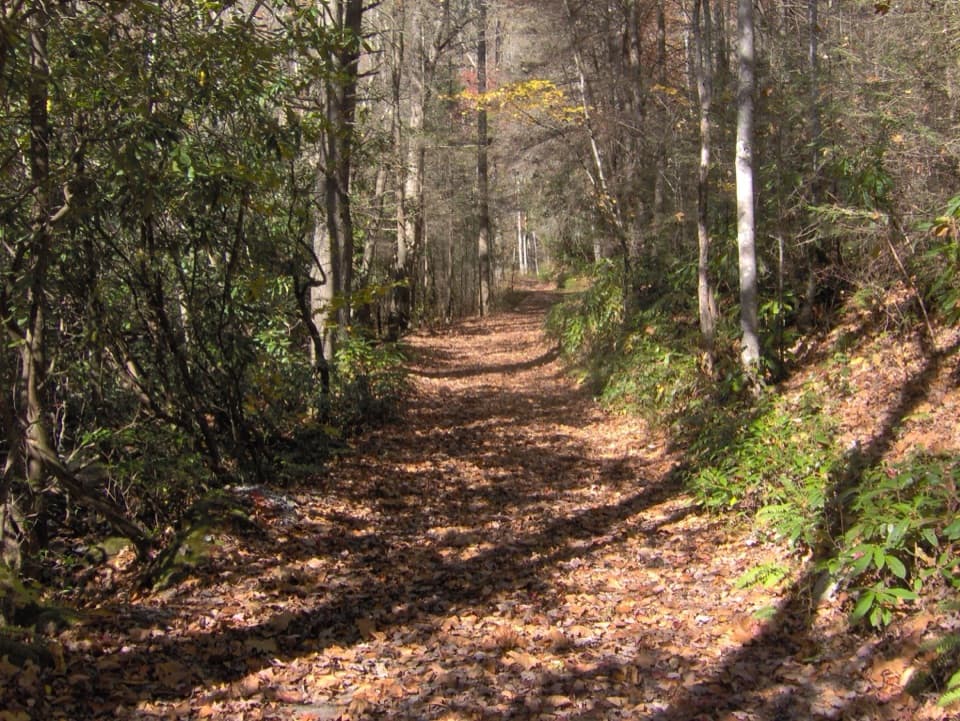 106Bone Valley TrailAn old logging grade leads through creek crossings to a family cabin.
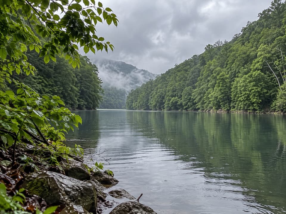 107Goldmine, Forney Creek and Lakeshore LoopTwo connected loops save a steep Fontana Lake climb for last.
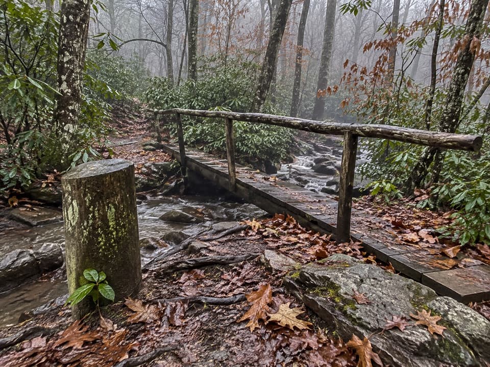 108Pretty Hollow Gap TrailFollow a creek into a steep climb toward the Smokies ridge.
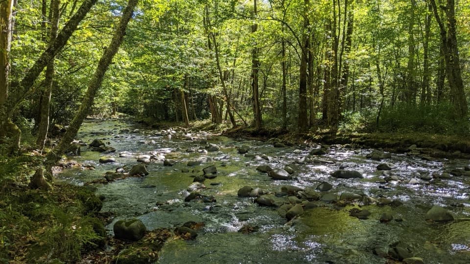 109Bradley Fork TrailA long creekside walk ends in a rocky climb to Hughes Ridge.
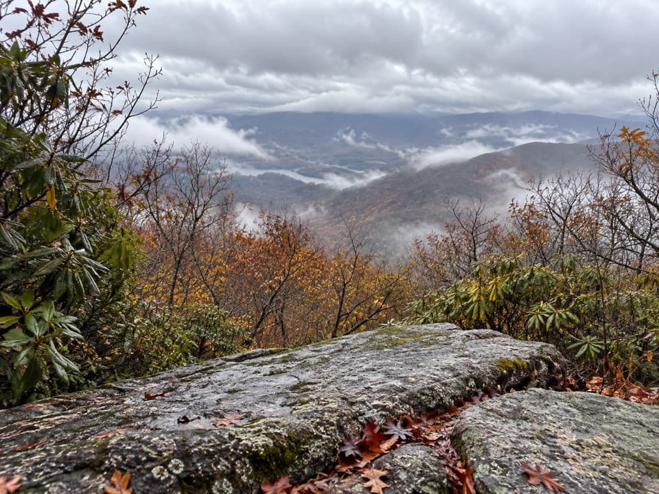 110High Rocks TrailLong backcountry climb to a former fire tower site above Fontana Lake.
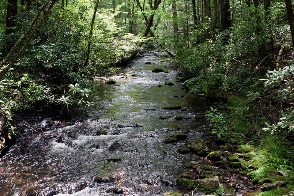 111Caldwell Fork TrailCreekside miles past old farm traces and a school site
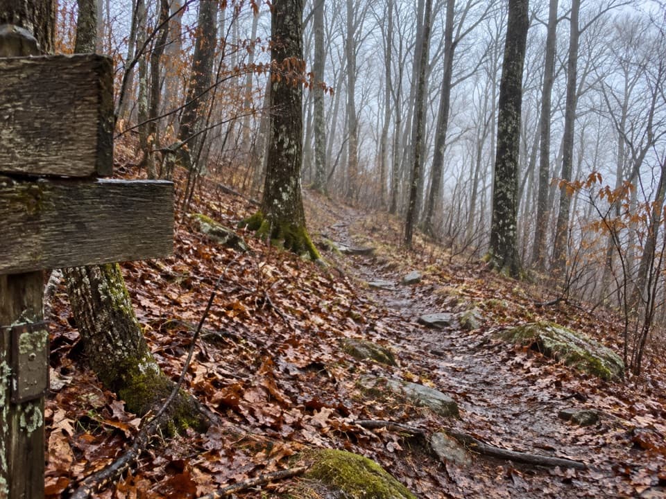 112Newton Bald TrailA steady forest climb to a wooded bald with few views.
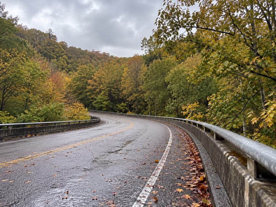 113Noland Creek TrailA long creekside road walk past traces of old Northshore life.
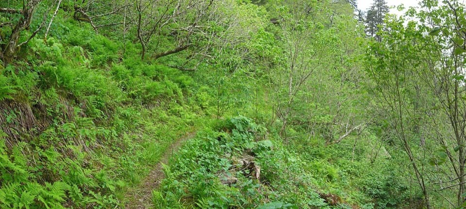 114Balsam Mountain TrailSpruce climb, quiet high ridge, long views in both directions.
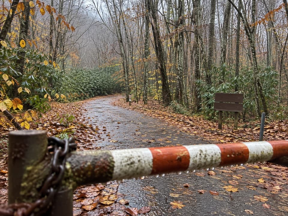 115Mingus Creek TrailAn old creek roadbed ends in a steep climb to Deeplow Gap.116Abrams Falls, Hannah Mountain and Rabbit Creek LoopA demanding 11-mile loop pairs Abrams Falls with three creek fords.
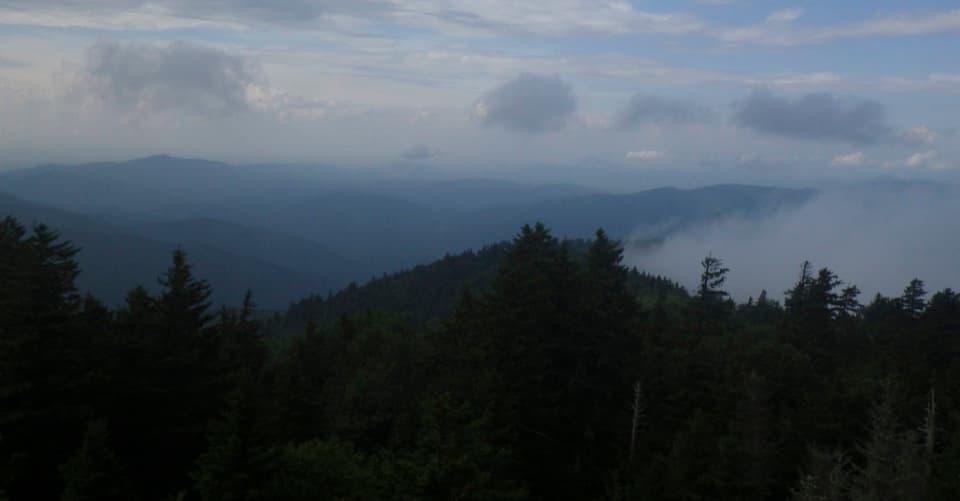 117Mount Sterling Ridge TrailA remote 5.3-mile traverse from Mount Sterling to Balsam Mountain Trail.
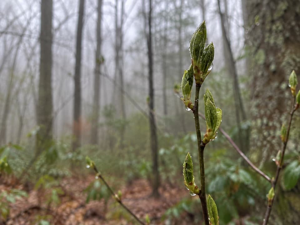 118Kanati Fork TrailA steep climb earns a standout spring wildflower show.
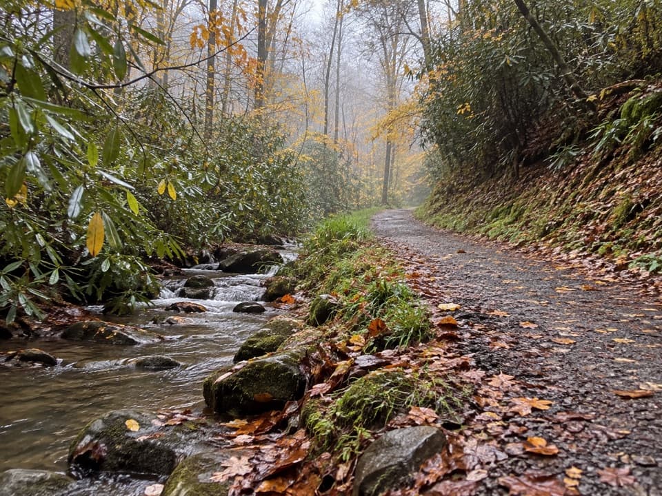 119Schoolhouse Gap TrailA creekside roadbed to Schoolhouse Gap, with spring wildflowers.
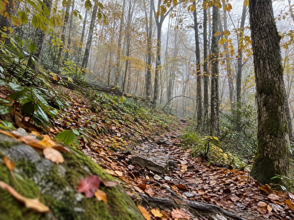 120Swallow Fork TrailA forest climb links Big Creek to the high ridge routes.
 121Thomas Divide TrailA soft upper ridge gives way to a steep, 14-mile traverse.
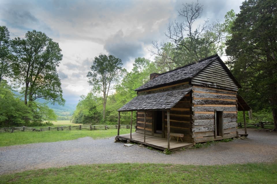 122John Oliver Cabin TrailA short paved walk to a preserved cabin and its homesite.
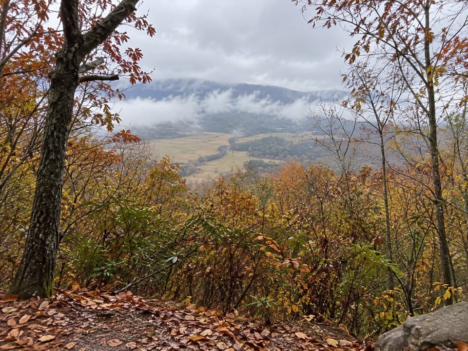 123Crooked Arm Ridge TrailSteep forest gives way to a late view into Cades Cove
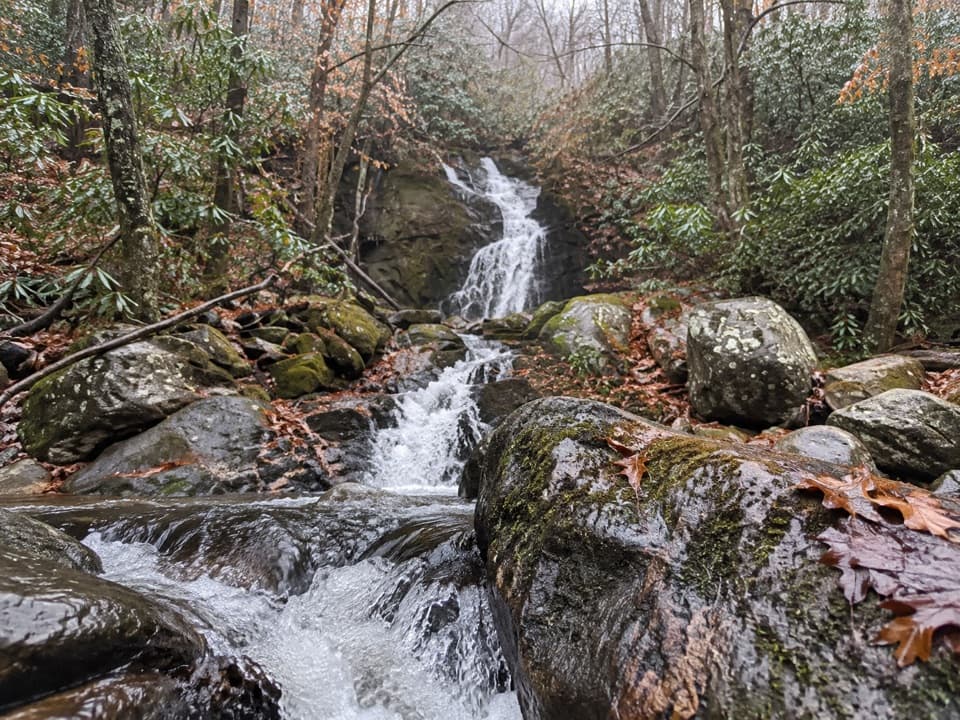 124Gunter Fork TrailTwo cascades reward a long, steep backcountry climb.
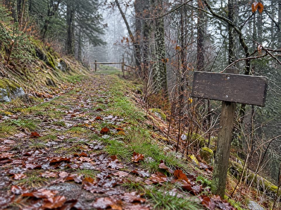 125Noland Divide TrailA long ridge traverse from Deep Creek to Kuwohi Road.
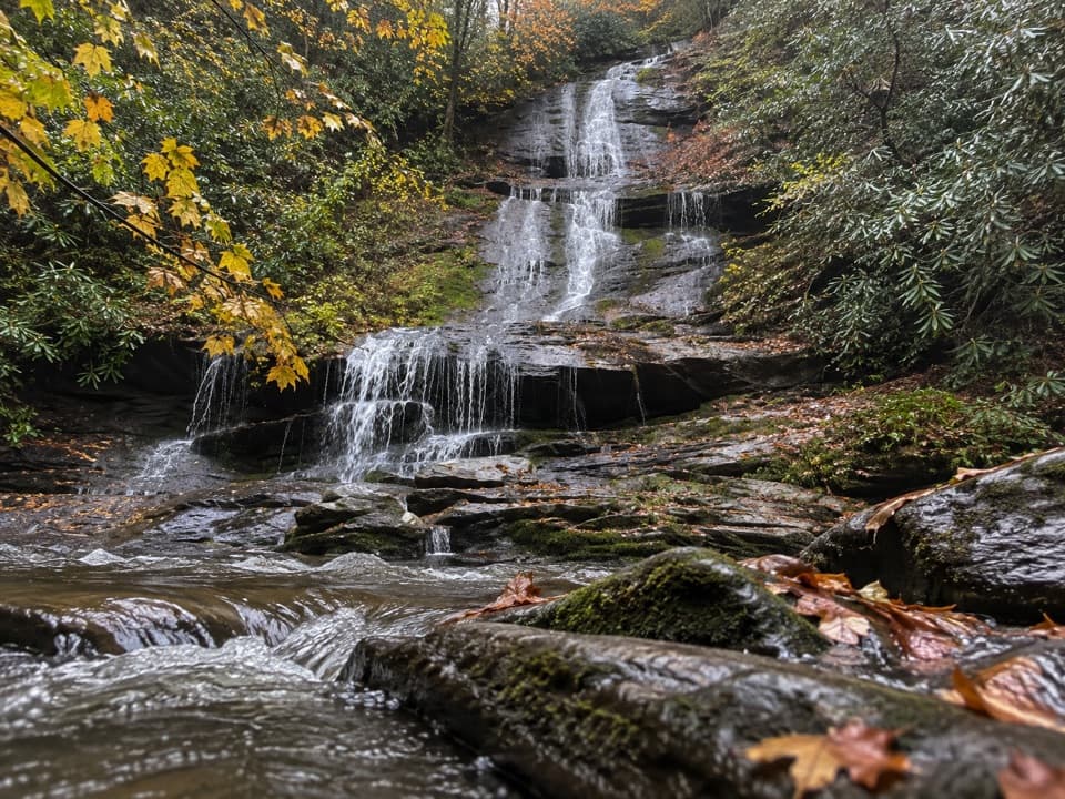 126Tom Branch Falls TrailA very short creekside walk to a tiered waterfall across the water.
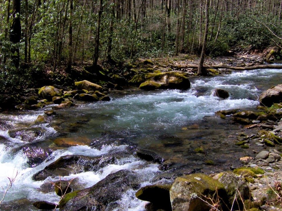 127Camel Gap TrailA long creekside approach to the Appalachian Trail at Camel Gap.
 128Deep Creek TrailA long one-way descent from Newfound Gap Road to Deep Creek.
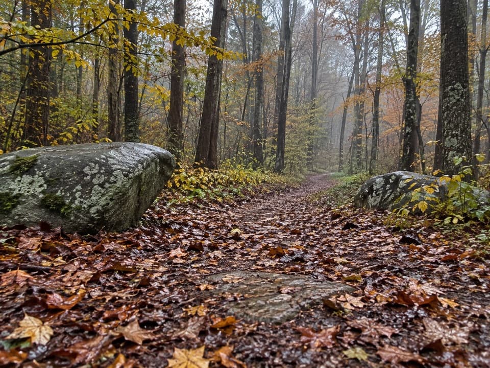 129Riverview Quiet WalkwayA short river loop with a smooth roadbed and rougher return.
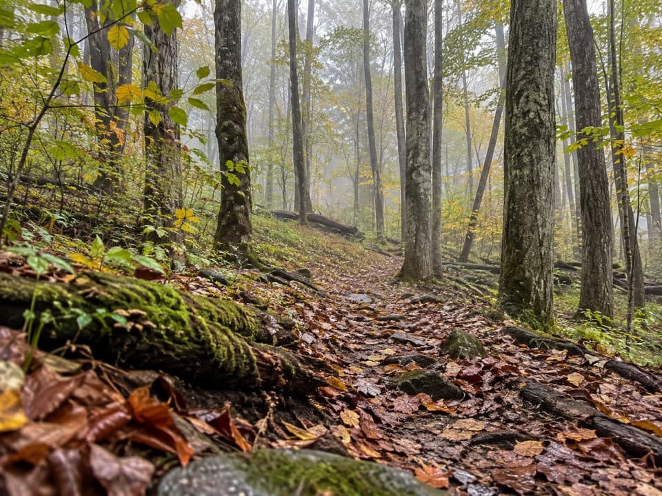 130Long Bunk TrailA long walk past a cemetery, homestead traces, and creek crossings.
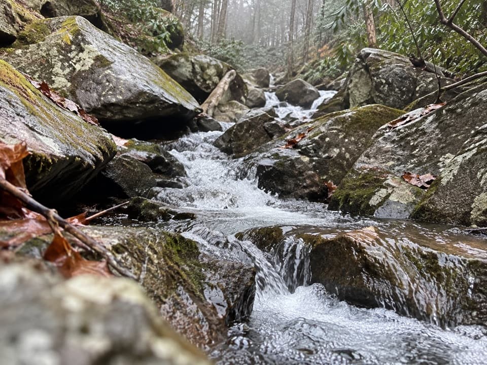 131Sweat Heifer Creek TrailA steep wooded creek climb to the Appalachian Trail.
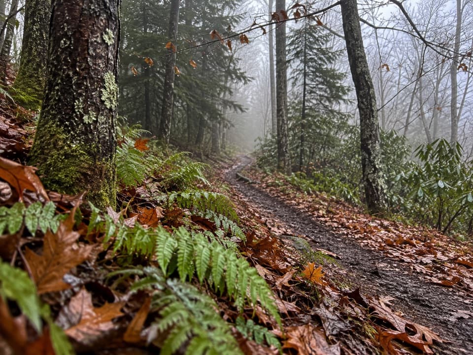 132Hughes Ridge TrailA remote ridge connector to the Appalachian Trail at Pecks Corner
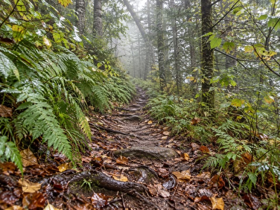 133Fork Ridge TrailA rocky descent from a high ridge into Deep Creek.
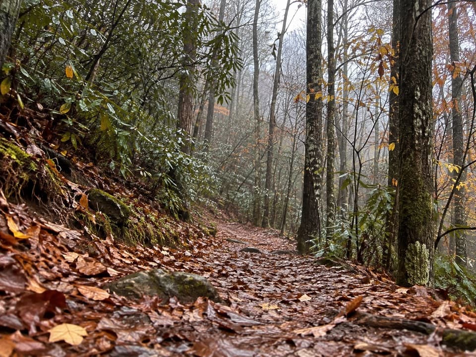 134Twentymile TrailA quiet 10-mile climb from Twentymile Creek to the AT.
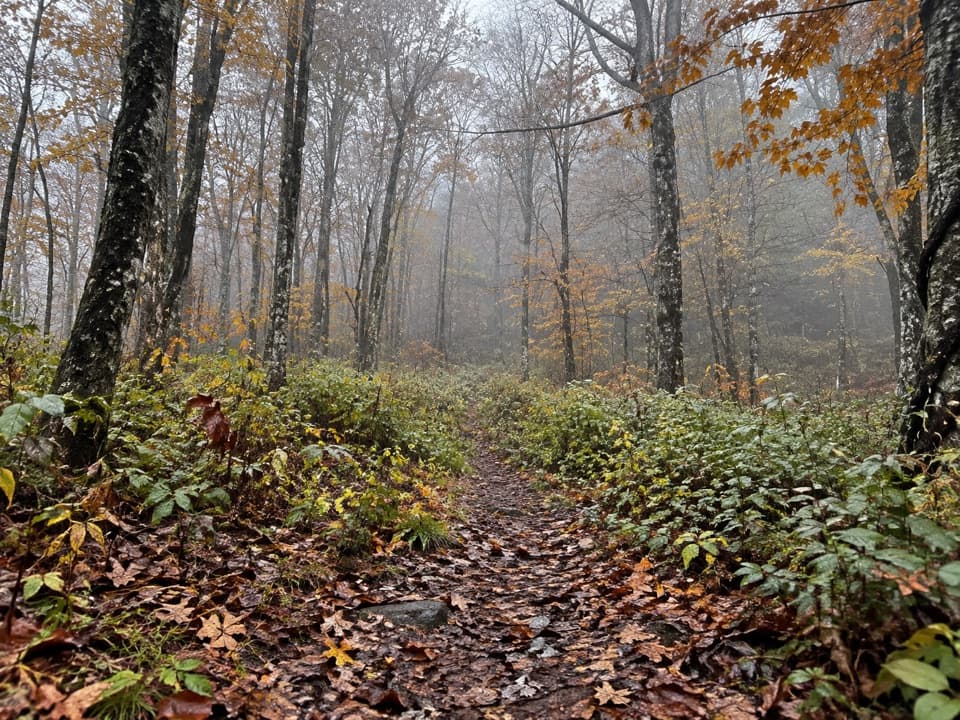 135Beech Gap I TrailA five-mile climb to the Balsam Mountain Trail junction.
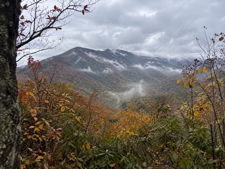 136Sugarland Mountain TrailA long ridge walk with a winter view toward Gatlinburg.
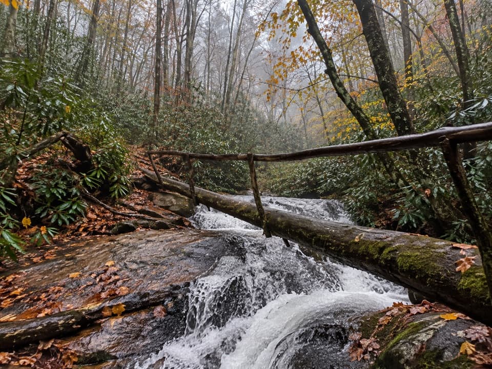 137Wolf Ridge Trail to Sheep Pen GapA steep, remote out-and-back to Sheep Pen Gap.
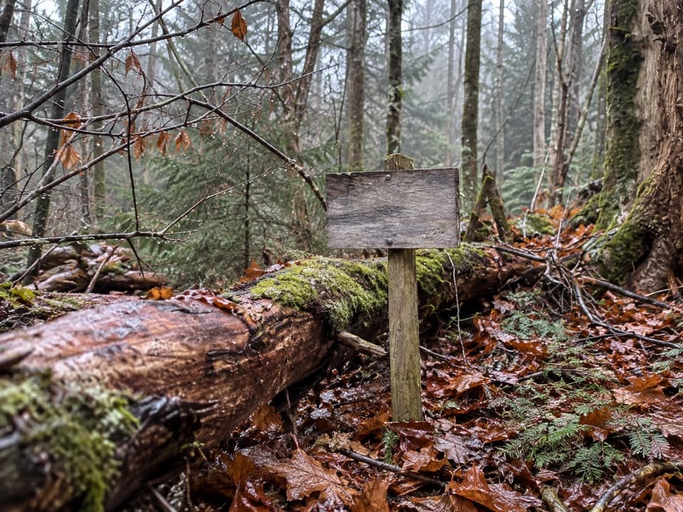 138Spruce Mountain TrailMoss, spruce and a backcountry campsite after a short climb.
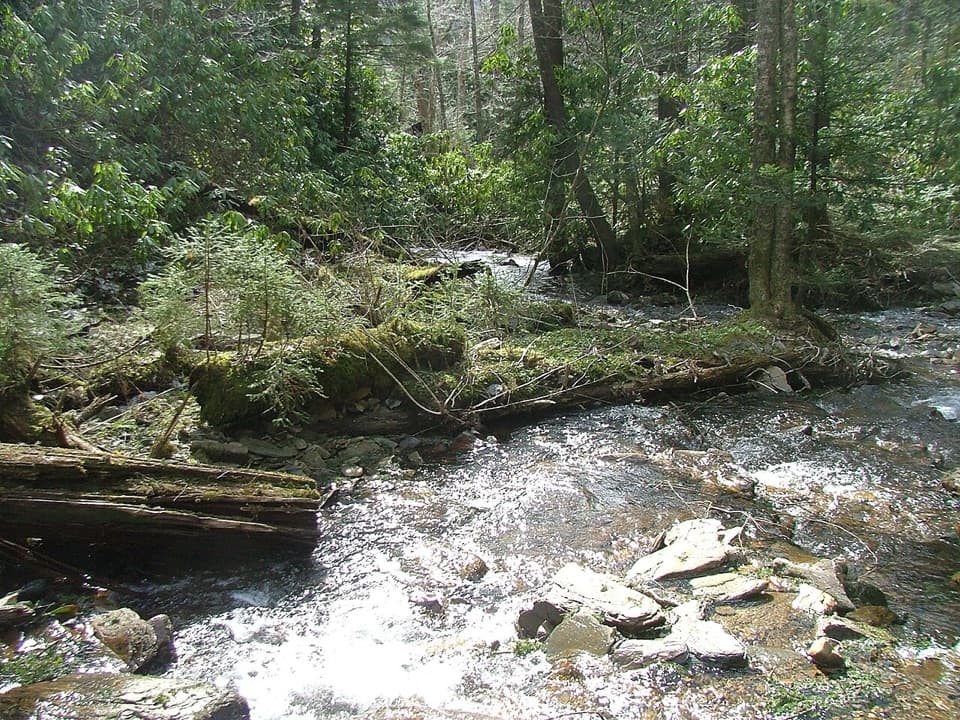 139Road Prong TrailA rocky creek walk on the old Oconaluftee Turnpike
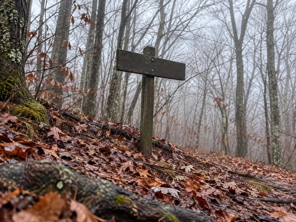 140Long Hungry Ridge TrailA backcountry ridge link with several unbridged creek crossings.
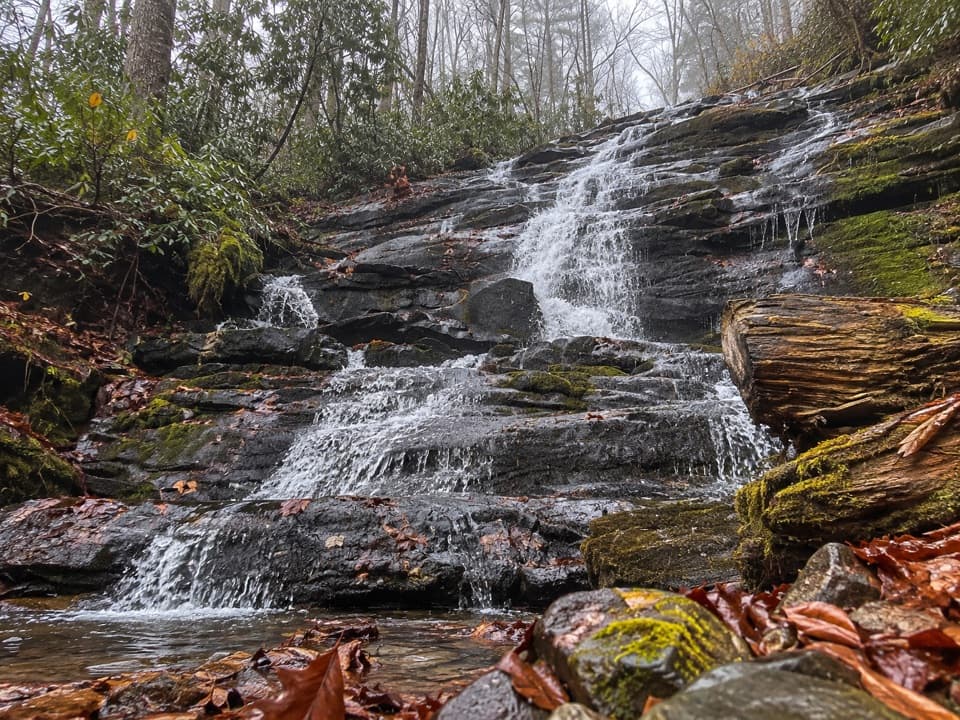 141Deeplow Gap TrailA 95-foot cascade rewards this steep backcountry traverse.
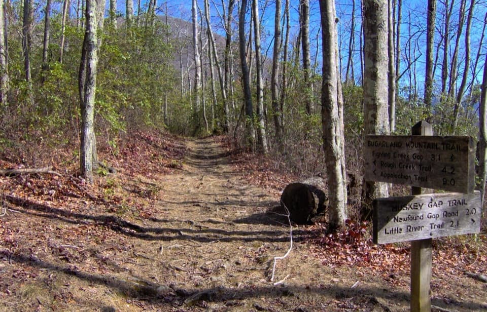 142Huskey Gap TrailAn old stone wall and schoolhouse story reward the quiet climb.
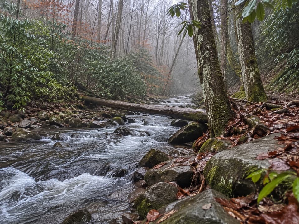 143Eagle Creek TrailA rugged creek-to-ridge traverse ending above Cades Cove.
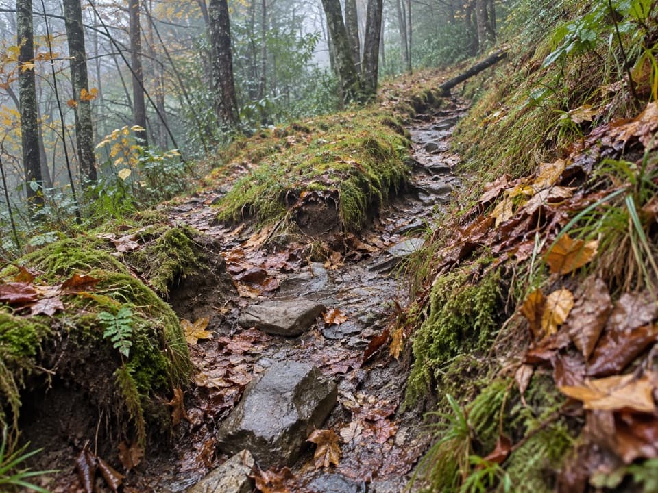 144Dry Sluice Gap TrailA long Smokemont climb to the Appalachian Trail, then back.
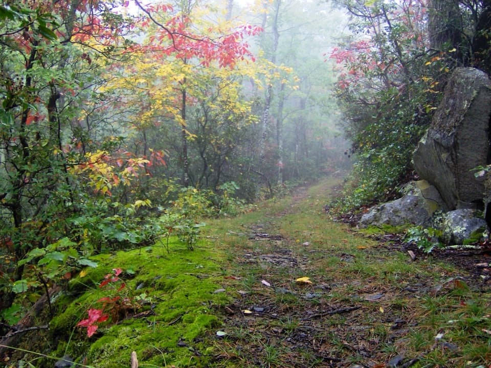 145Cove Mountain TrailA long wooded ascent ends at the summit’s closed fire tower.
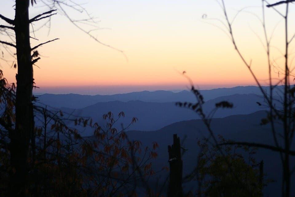 146Forney Creek TrailA long creekside traverse through old logging country.
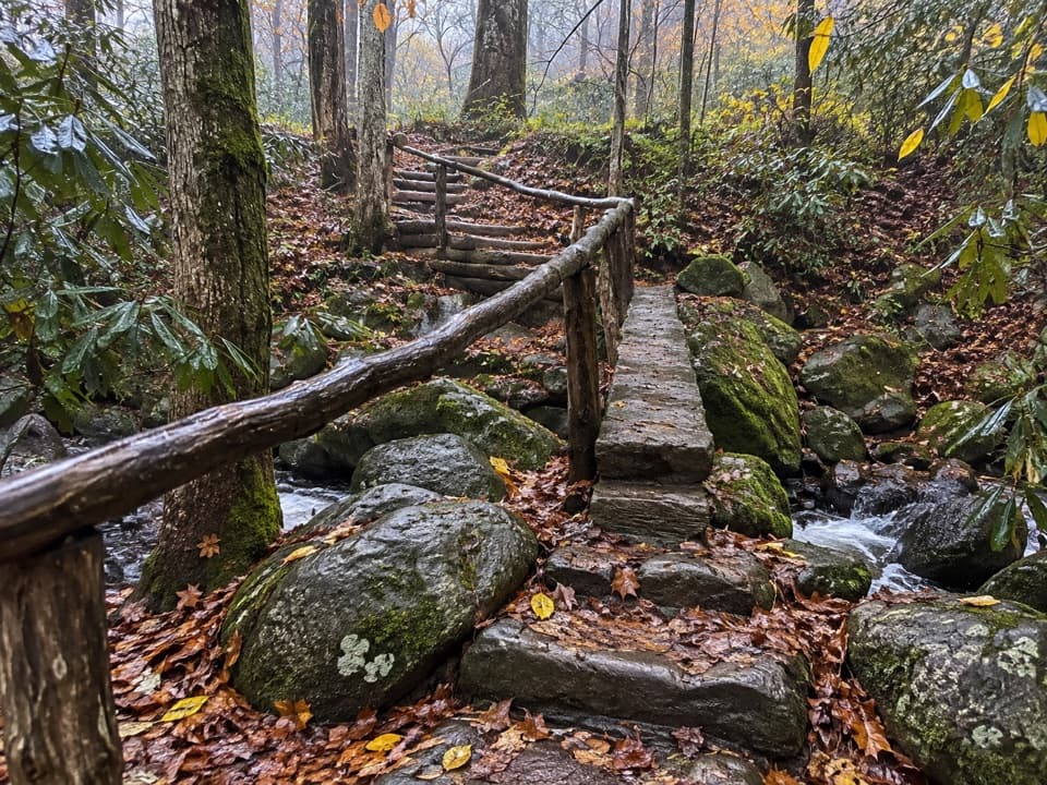 147Grassy Branch TrailA hard switchback climb through grassy openings to Dry Sluice Gap.
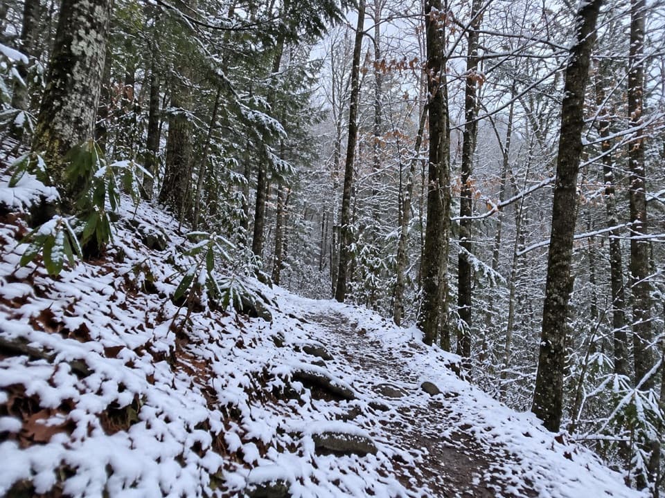 148Little Greenbrier TrailEasy woodland miles, then a steep climb to the Laurel Falls Trail.
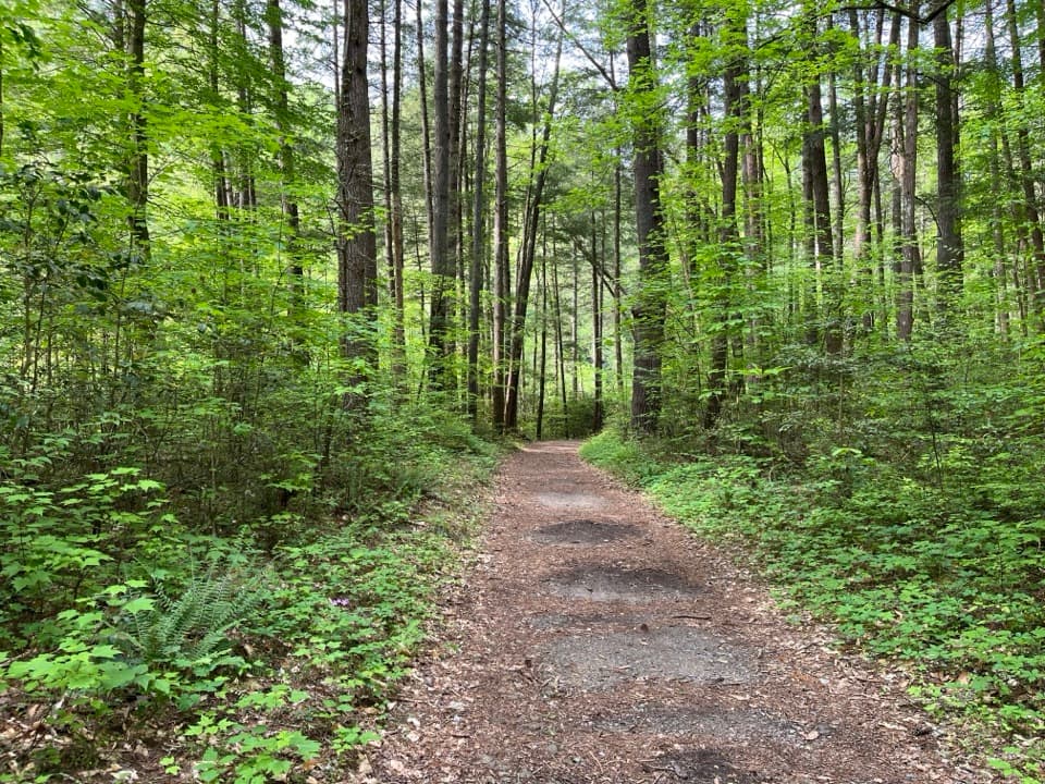 149Cooper Road TrailA long old road linking Abrams Creek with Cades Cove.
 150Sunkota Ridge TrailAn 8.6-mile point-to-point ridge hike through Deep Creek backcountry.
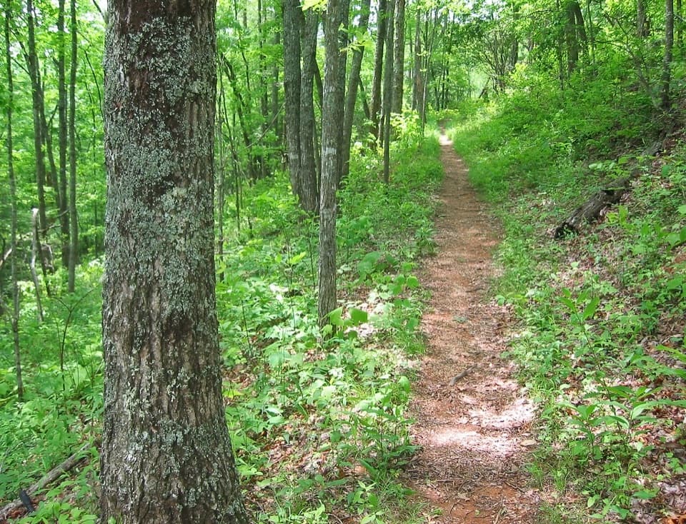 151Roundtop TrailA 7.4-mile one-way ridge hike ending at a Little River ford.
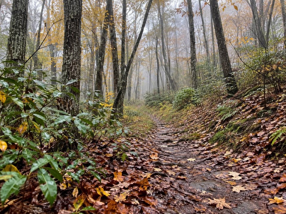 152Rabbit Creek TrailCreek fords and a wooded ridge link two remote park ends.
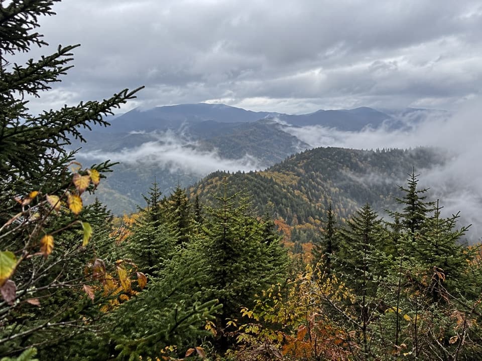 153Martins Gap TrailA backcountry link from Deep Creek to Indian Creek via Bryson Place
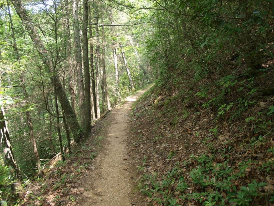 154Meigs Mountain TrailA quiet backcountry traverse with a waterfall on the Elkmont approach.
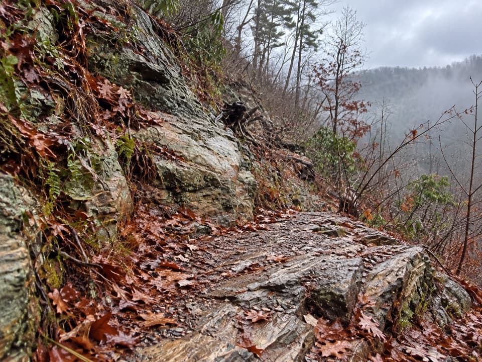 155Little Bottoms TrailA rough backcountry link from Cooper Road to Hatcher Mountain.
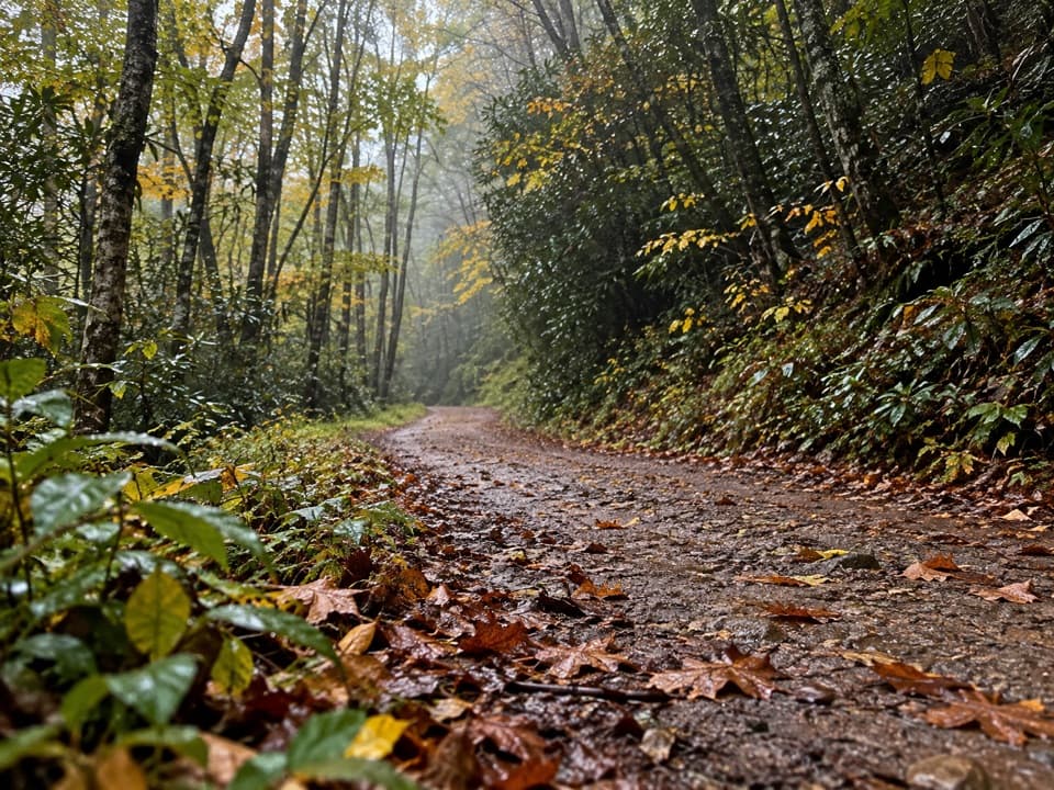 156Indian Creek Motor TrailA steep old roadbed linking Thomas Divide and Deep Low Gap.
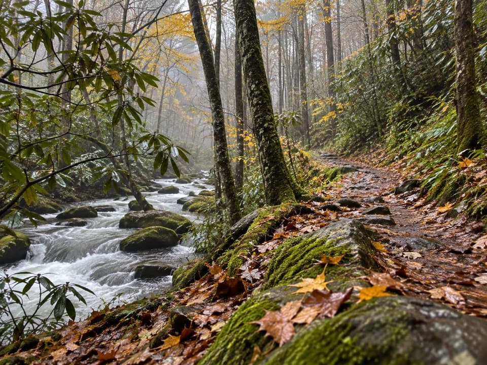 157Goshen Prong TrailOld logging grades lead from creekside Elkmont to a rocky AT finish.
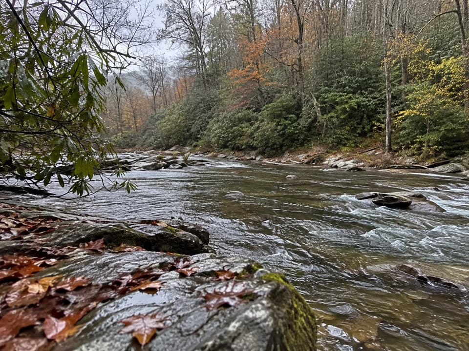 158Hannah Mountain TrailA long backcountry traverse ends at an unbridged creek ford.
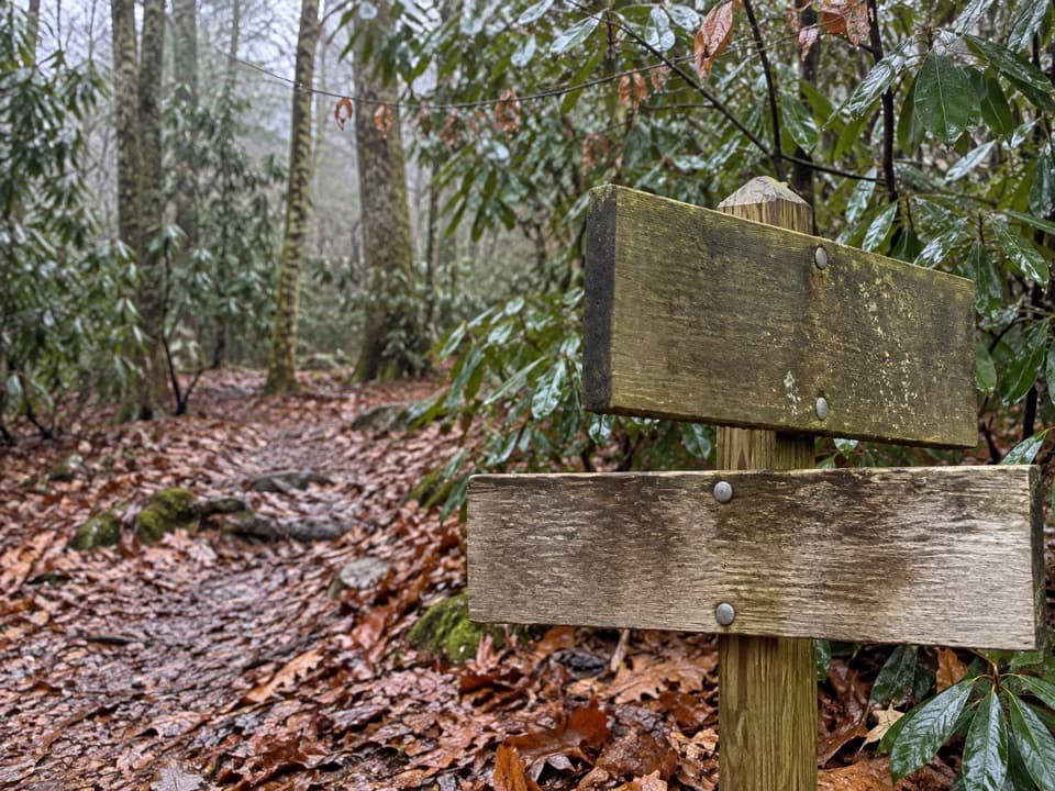 159Pole Road Creek TrailA remote creekside descent with repeated water crossings.
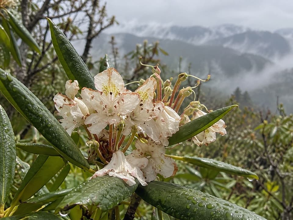 160Miry Ridge TrailA remote ridge connector with views worth the extra planning.
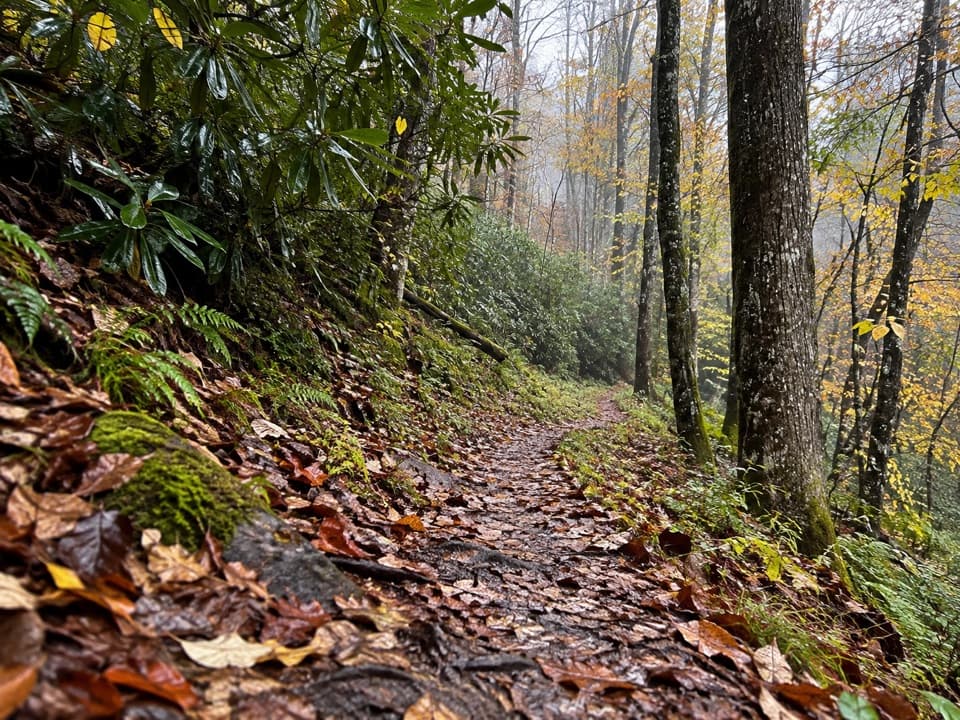 161Lynn Camp Prong TrailAn old logging grade gives way to a rocky ridge climb.
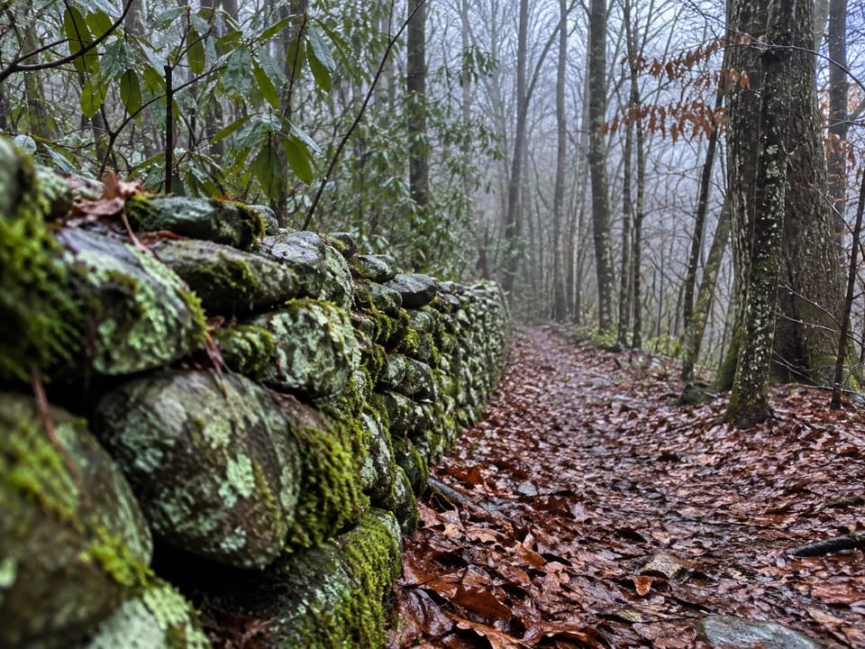 162Old Settlers TrailA long traverse through stone walls, creek hollows and Smokies history.
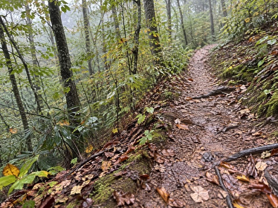 163Ace Gap TrailA shaded ridge walk and an old logging railroad crossing.
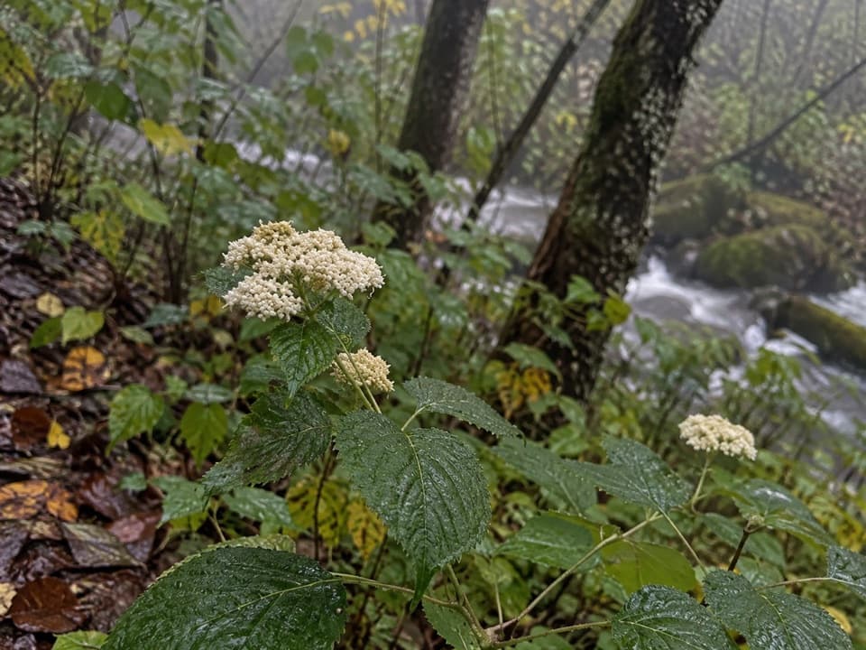 164Greenbrier Ridge TrailA wildflower ridge route for hikers already deep in the backcountry.
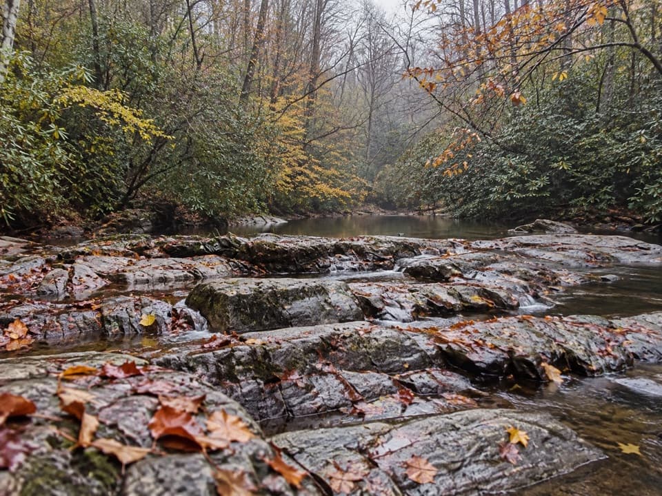 165Twin Creeks TrailA shaded creek walk with a historic retreat near its far end.
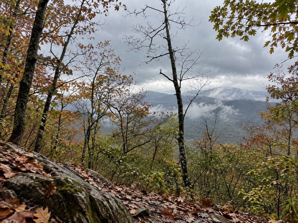 166Rich Mountain TrailA steep climb to a shaded cove and a small cascade.
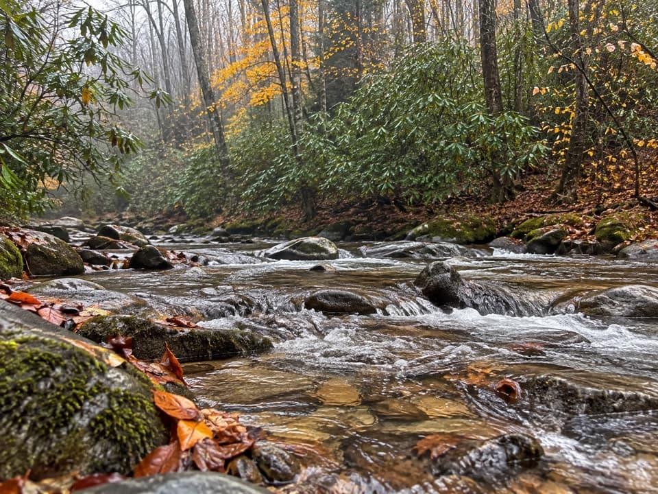 167Panther Creek TrailTen stream crossings on a steep backcountry connector
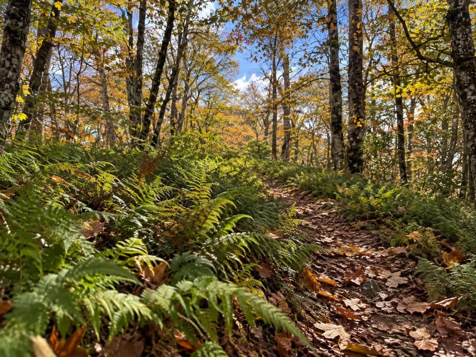 168Welch Ridge TrailA remote fern ridge with an optional High Rocks fire-tower detour.
 169Turkeypen Ridge TrailA ridge walk through old cove fields and cool, moist hollows.
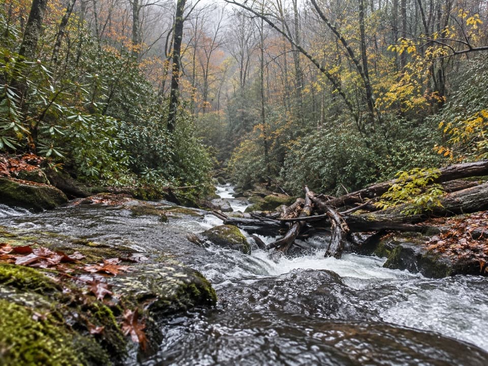 170Lost Cove TrailA steep, shaded descent from the A.T. to Lakeshore Trail.
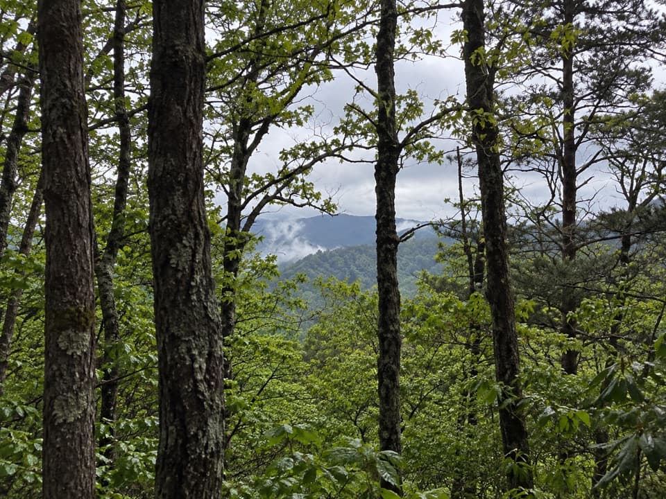 171Scott Mountain TrailRhododendron, a spring crossing, and old forest on a ridge connector.
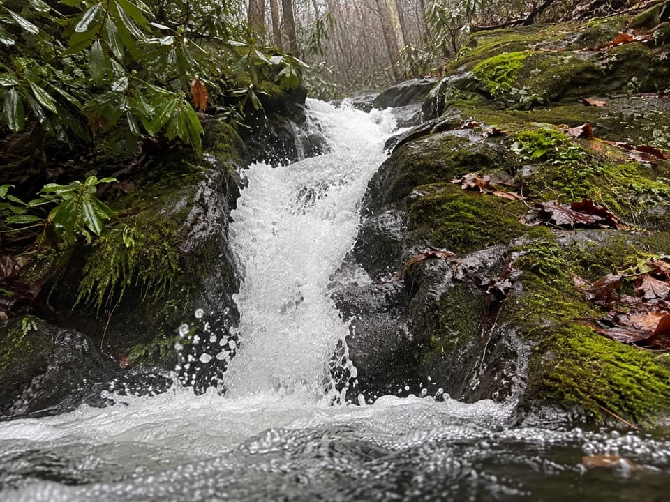 172Rough Creek TrailA steep 2.7-mile connector from creek to mountain trail.
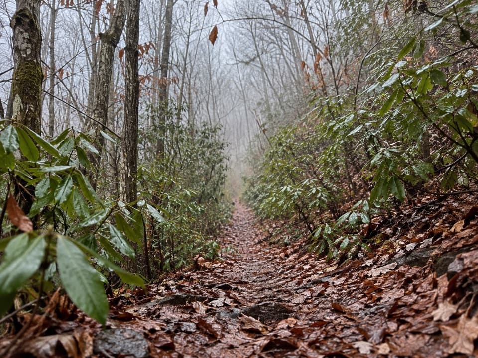 173Bear Creek TrailA steep old grade climbs from Forney Creek into high backcountry.
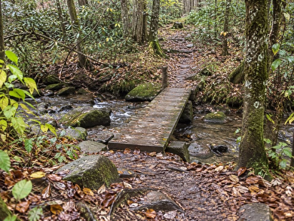 174Bullhead View Quiet WalkwayA short riverside walk reached by steep steps and a creek bridge.
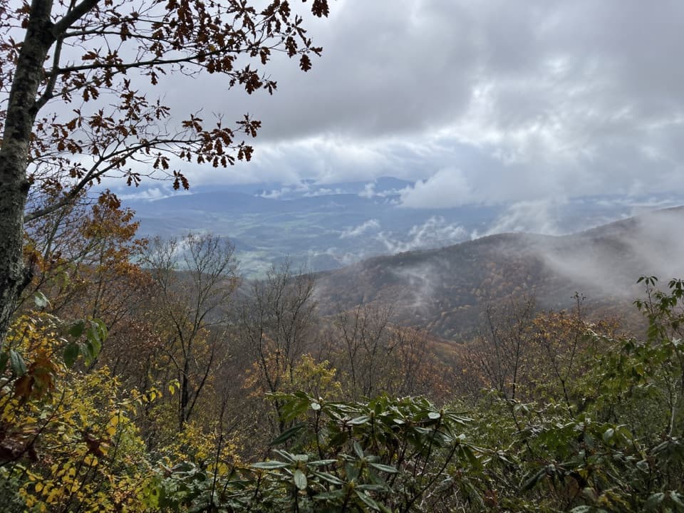 175Cold Spring Gap TrailA remote creek connector with slippery crossings and a steep ridge climb.
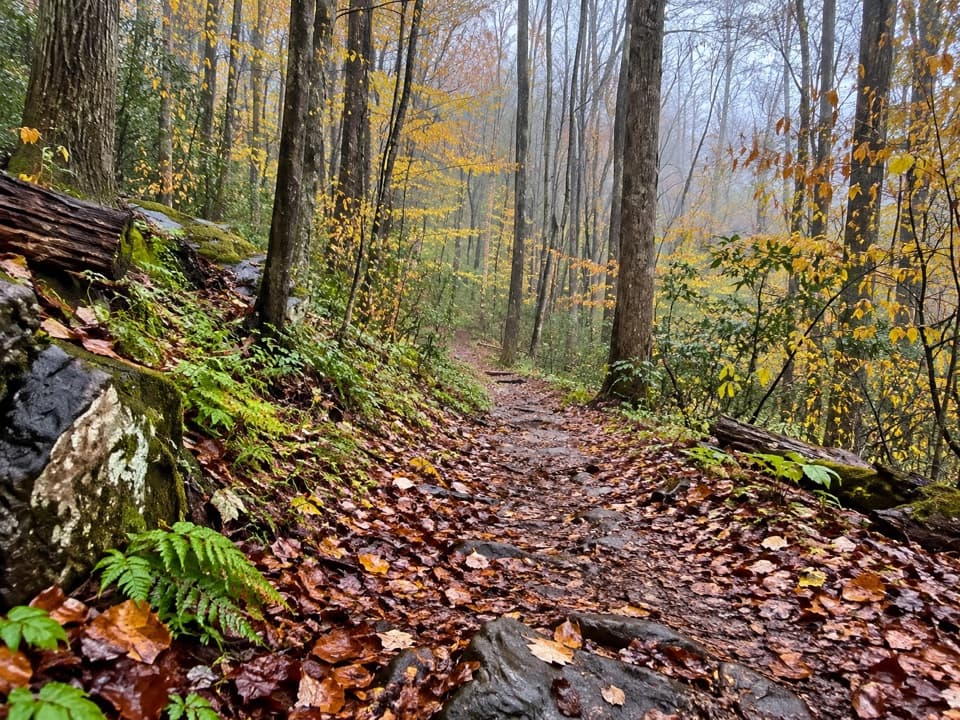 176John Carr Place Quiet WalkwayA short forest walk links a river path and a roadside overlook.
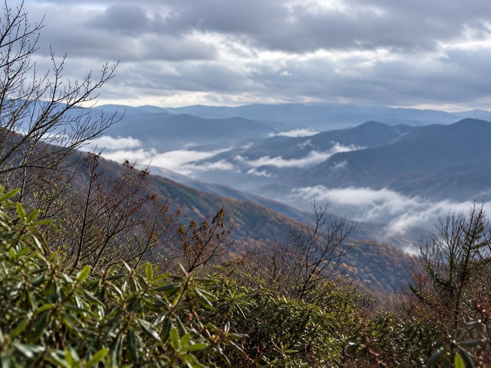 177Jenkins Ridge TrailA strenuous 8.8-mile backcountry climb to Spence Field.
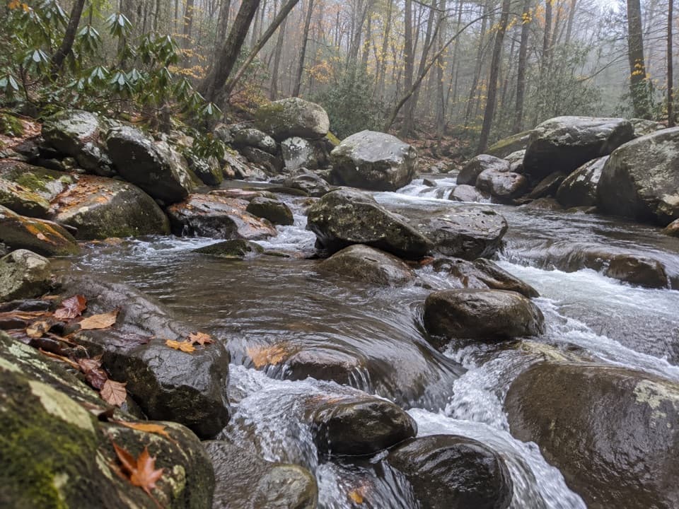 178Balsam Point Quiet WalkwayA short wooded loop with a rock-wall clearing and stream.
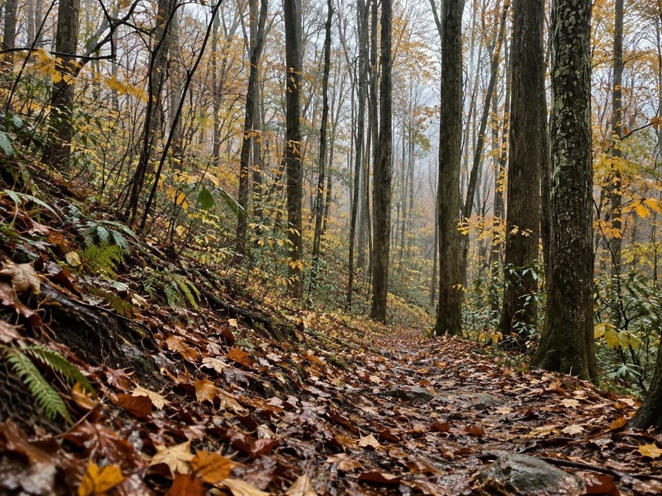 179Jonas Creek TrailCreek crossings first, then a steep climb to Welch Ridge.
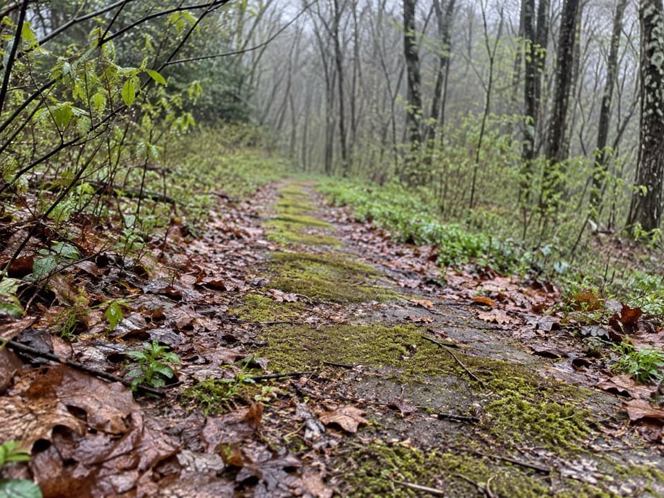 180Beech Flats Quiet WalkwayWalk a mossy old roadbed into the cool woods.
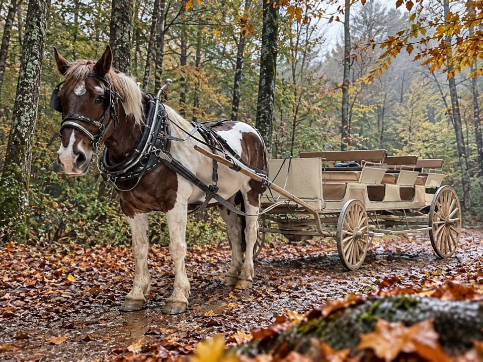 181Cades Cove Horse TrailA wooded point-to-point trail shared with horses.
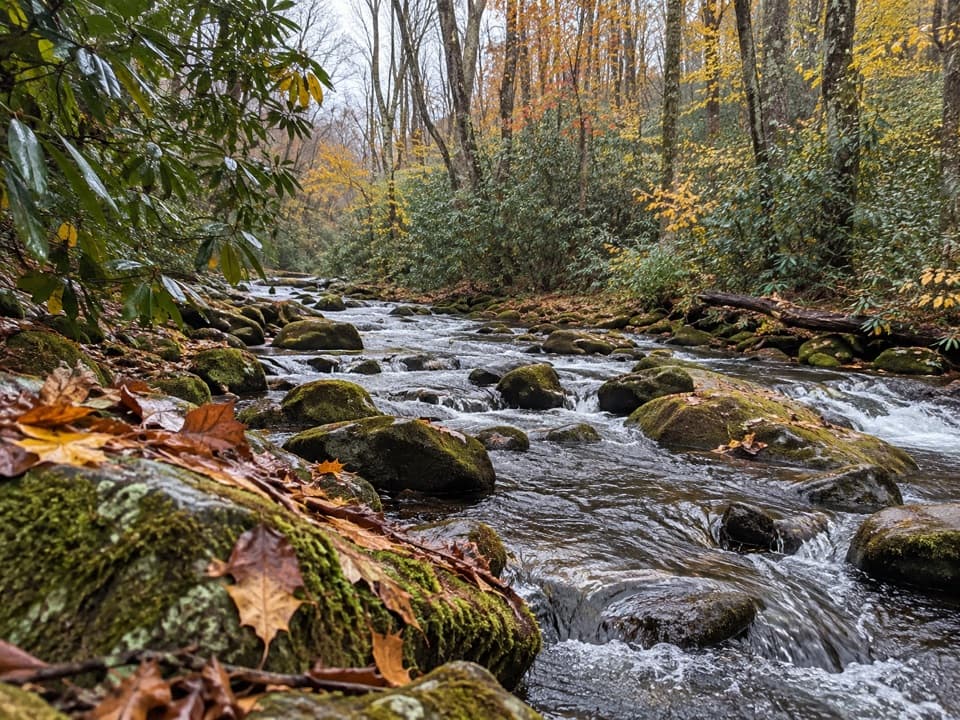 182Springhouse Branch TrailA backcountry link between Forney Creek and Noland Creek.
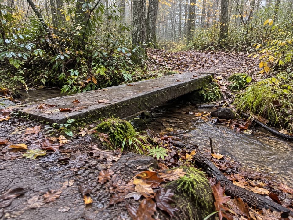 183Kanati Fork Quiet WalkwayA short forest walk to Beech Flats Prong.
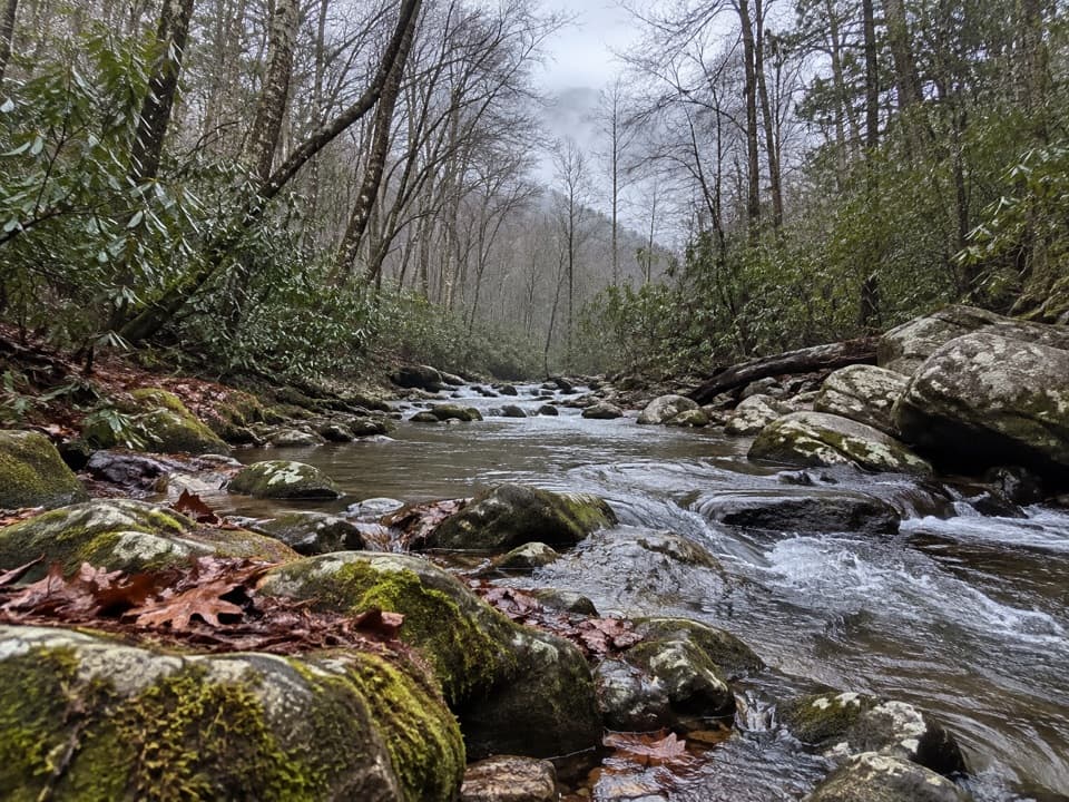 184Cataloochee Horse TrailA creekside walk along the old road through Big Cataloochee.
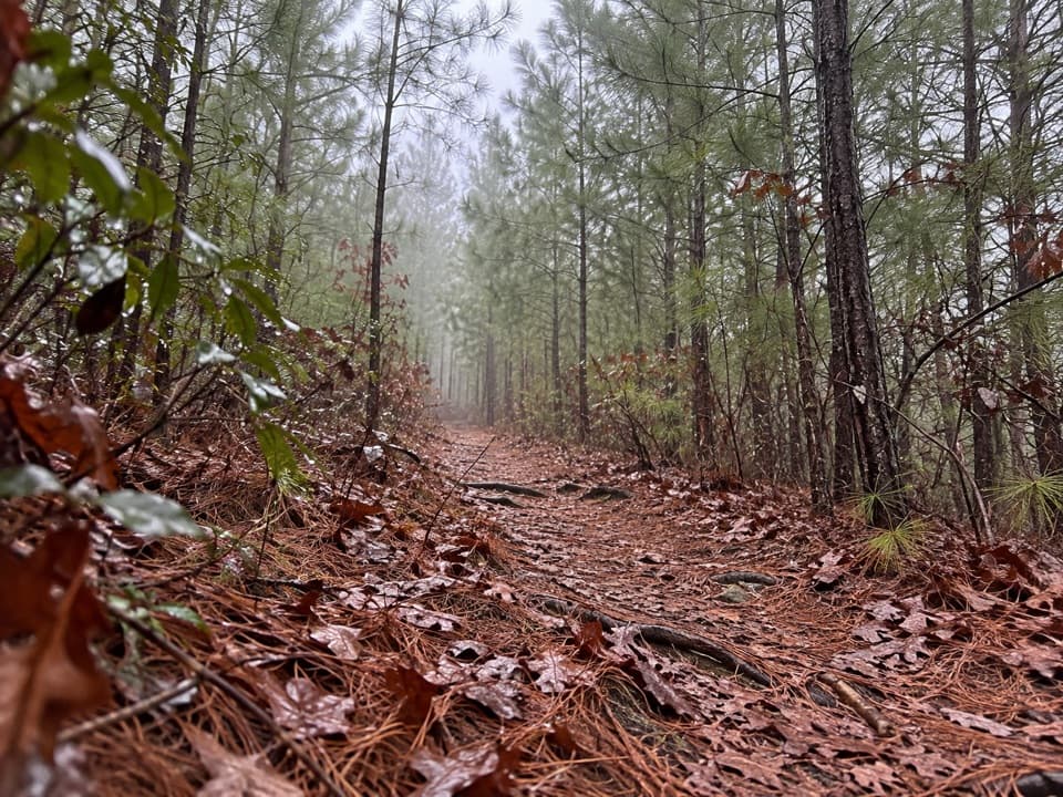 185Hatcher Mountain TrailA pine-lined connector with May blooms and winter ridge glimpses.
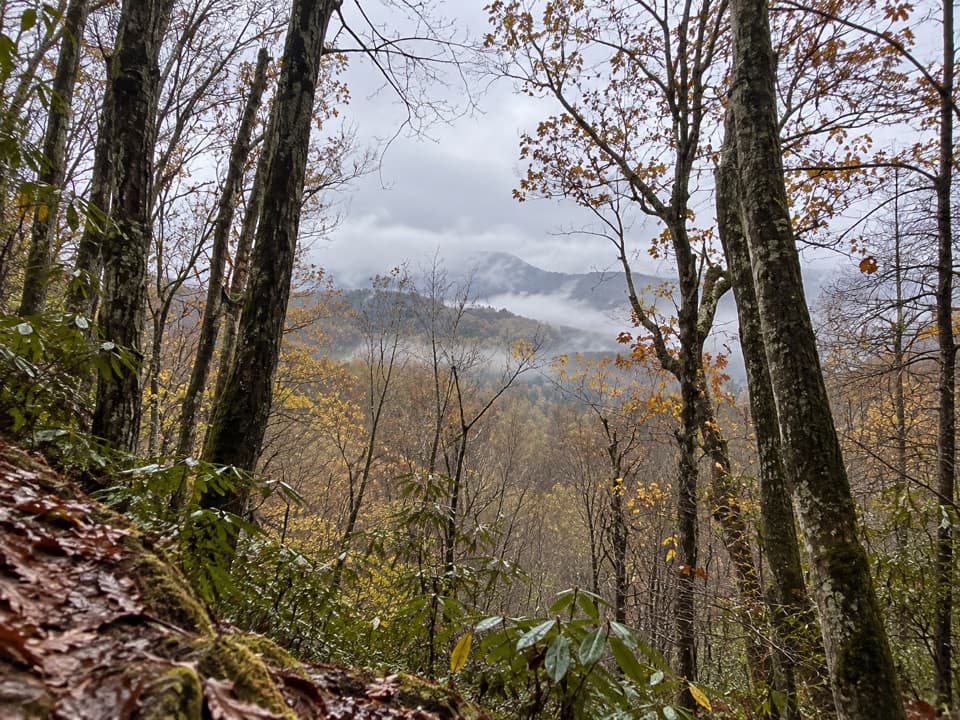 186Old Deep Creek Quiet WalkwayA signed, steep forest path drops from Newfound Gap Road.
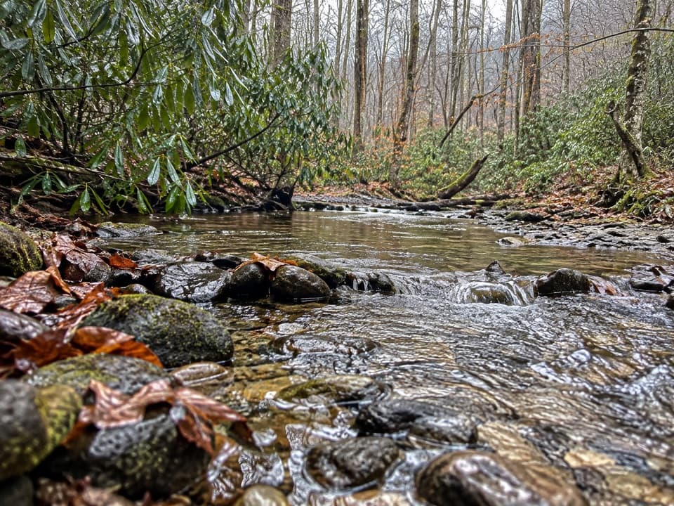 187Cane Creek TrailCreek crossings, reclaimed farmland, and a cemetery above the path.
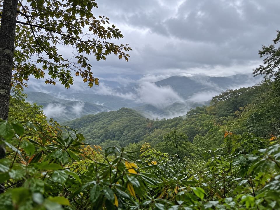 188Swinging Bridge Quiet WalkwayA quiet ridge walk with a steady climb back to US 441.
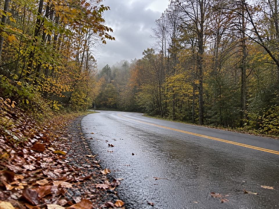 189Hickory Flats Quiet WalkwayA cemetery loop and an old roadbed toward Hickory Flats Branch.
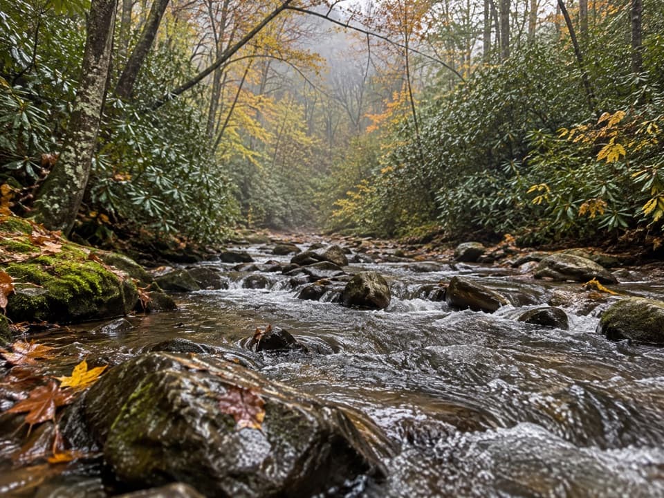 190Cabin Flats TrailA 10-mile creekside walk ends at a Smokies backcountry camp.
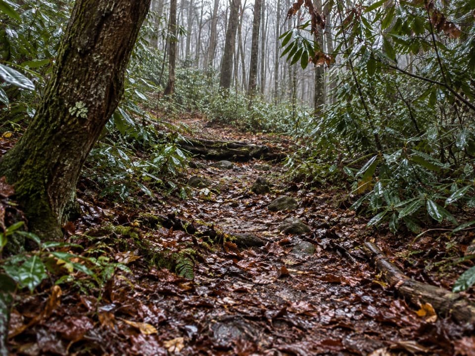 191Big White Oak Quiet WalkwayA quiet woods loop with four creek crossings and a long footbridge.
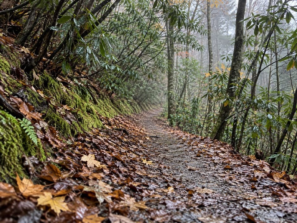 192Gold Mine TrailAn old-road climb from Cooper Road toward Gold Mine Gap.
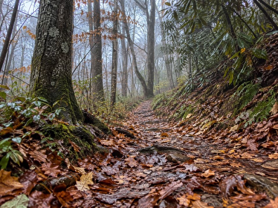 193Laurel Falls Quiet WalkwayA short dirt loop follows Laurel Branch through quiet forest
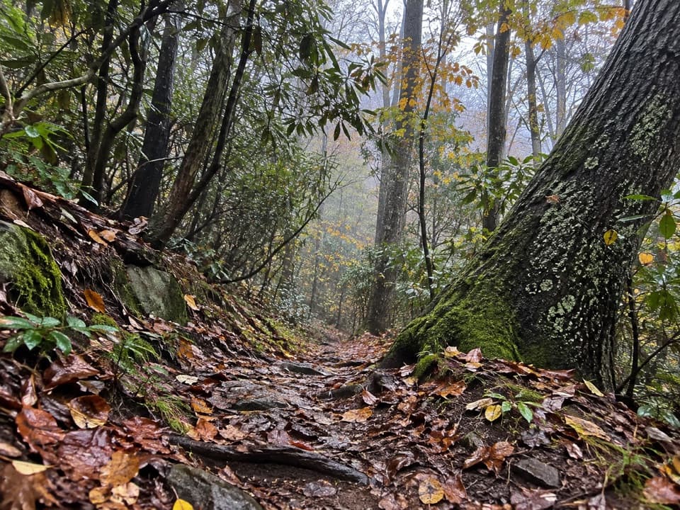 194McKee Branch TrailA steep forest connector from Purchase Gap to Caldwell Fork.
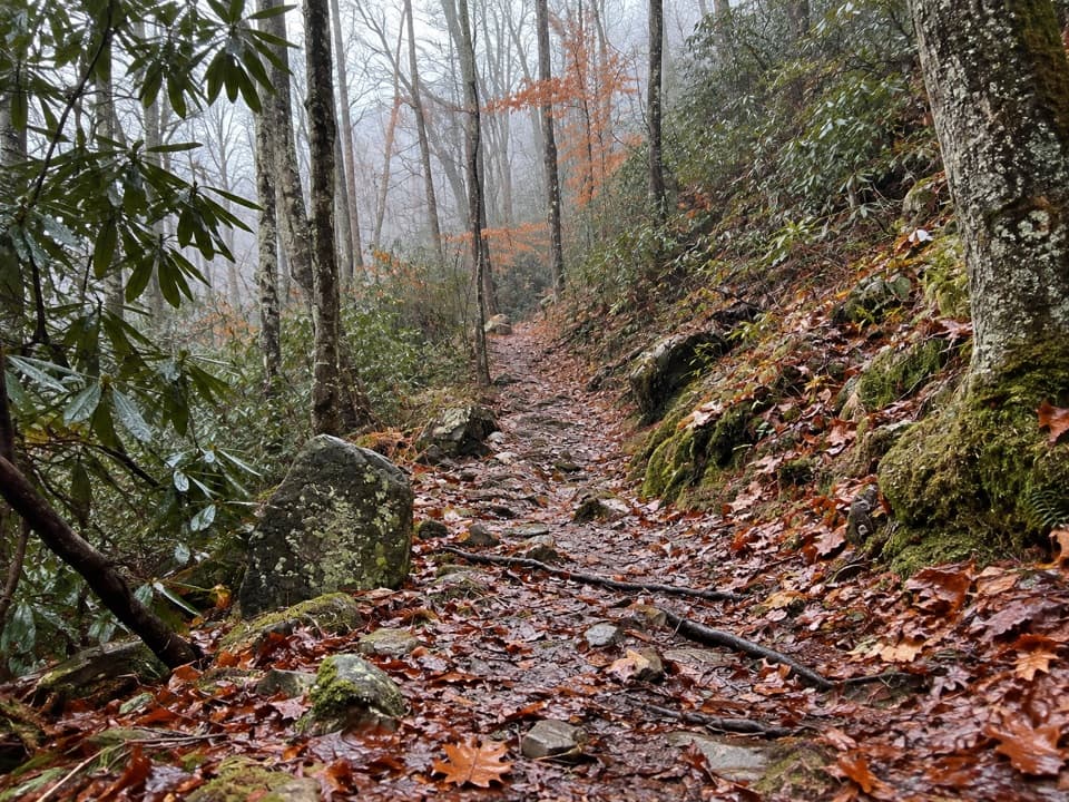 195Tow String Horse TrailA quiet woodland link between Tow String Horse Camp and Bradley Fork.
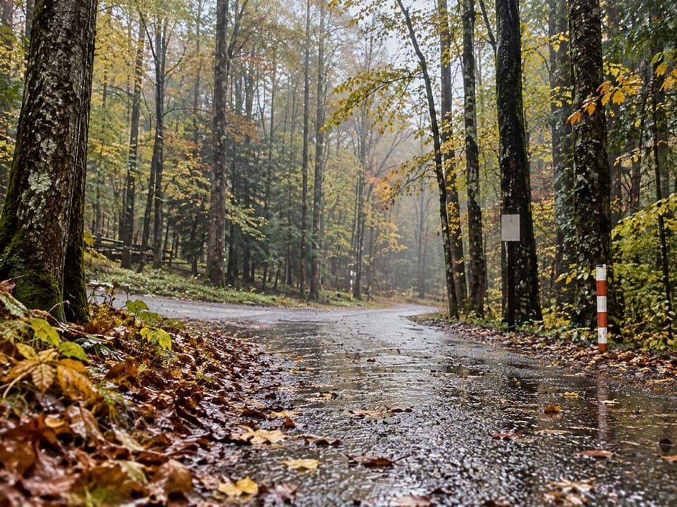 196Cosby Horse TrailA short, steep path near Cosby Campground.
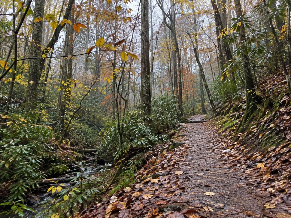 197Deep Creek Horse TrailA wooded climb past Juney Whank Falls to Deep Creek Trail.

The highest, rockiest slopes around here are a summer buffet for grizzly bears.
Great Smoky Mountains Tour Guide
Great Smoky Mountains, narrated.
Parkwolf is a GPS audio tour guide for Great Smoky Mountains National Park. As you drive, it chimes in with what’s ahead: hidden gems, upcoming stops, history, geology, and wildlife, right through your car’s speakers.
See the Great Smoky Mountains audio tourRecorded for this place
Kuwohi Observation Tower0:00 / 0:35
“You're approaching Kuwohi, the highest summit in the Smokies. The observation tower lifts you above the trees for a full circle of mountain ridges, if the clouds allow it.”
Plays as you drive up to Kuwohi Observation Tower in the Parkwolf Great Smoky Mountains Tour Guide.
More stories near here in the app
- Cones That Come Apart
- Kuwohi's Modern Tower
- Ice Made from Fog
- Spruce-Fir Nature Trail
- 188 audio storiesacross Great Smoky Mountains’s roads, triggered by GPS as you drive
- Wildlife heatmapsfor Black Bear, Elk, Bald Eagle, and 13 more
- Works offlinemaps, 197 trails, 100 places, and audio download before you lose signal
- CarPlay readysimple controls built for the drive
“Fantastic app with many points of information… It’s great to just turn on while you’re driving and it gives you an audio tour of the national Park. We love it!!!!”

